
~Wild Boar Fell~
10th August 2013
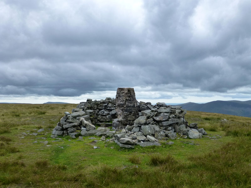
The Summit of Wild Boar Fell
Scroll down for photos and a description of the walk....
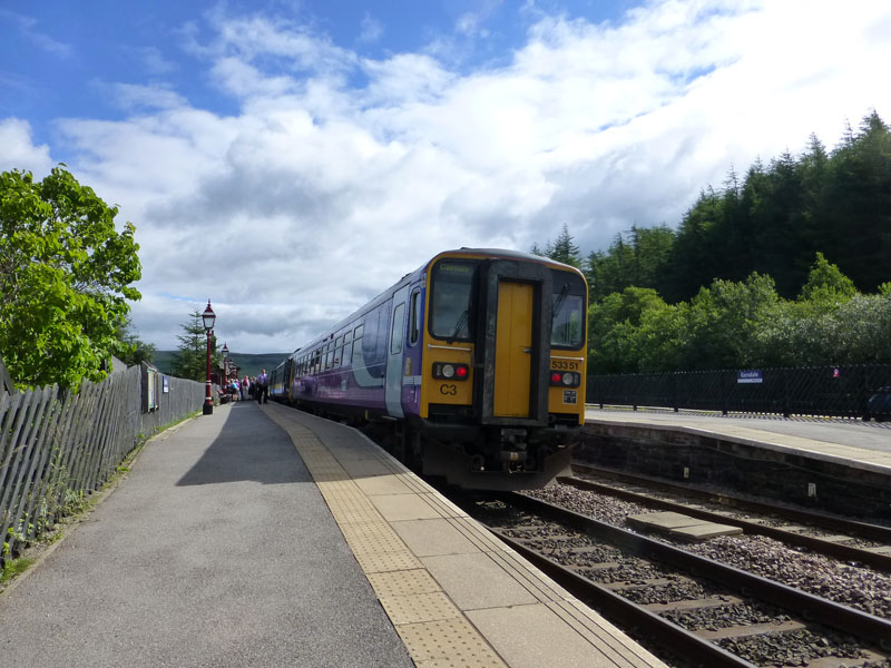
Garsdale Railway Station
I caught the 09:40hrs service to Carlisle from Hellifield and here at Garsdale Station , the walk starts at 10:25.
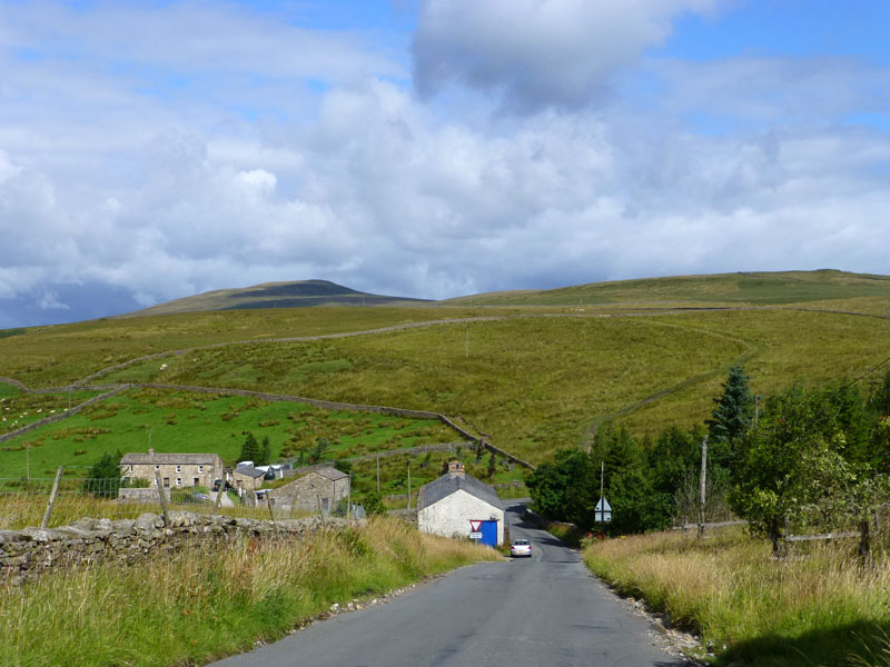
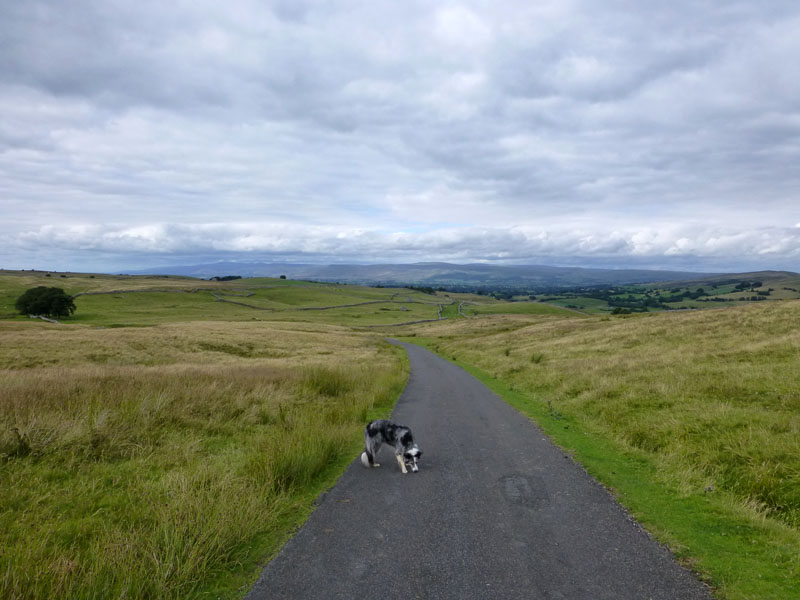
Garsdale Head
Down the road and into the field opposite and along the wall to the corner where a gated-stile leads to the next field. Izzy The Dog is with me today. This early brightness was misleading.
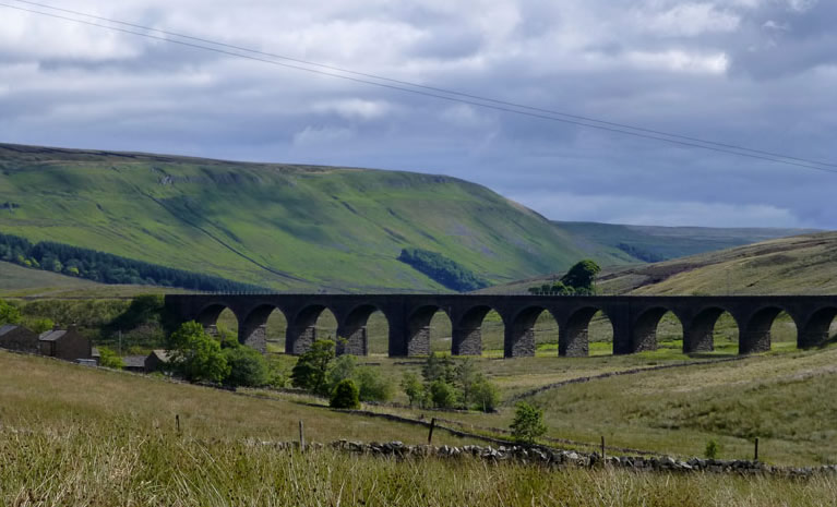
Dandymire Viaduct
Looking across to Upper Wensleydale, Dandymire Viaduct was not in the original plans - they planned an embankment but the boggy ground defeated them and an extra viaduct joined the others on the Settle / Carlisle railway line.
 |
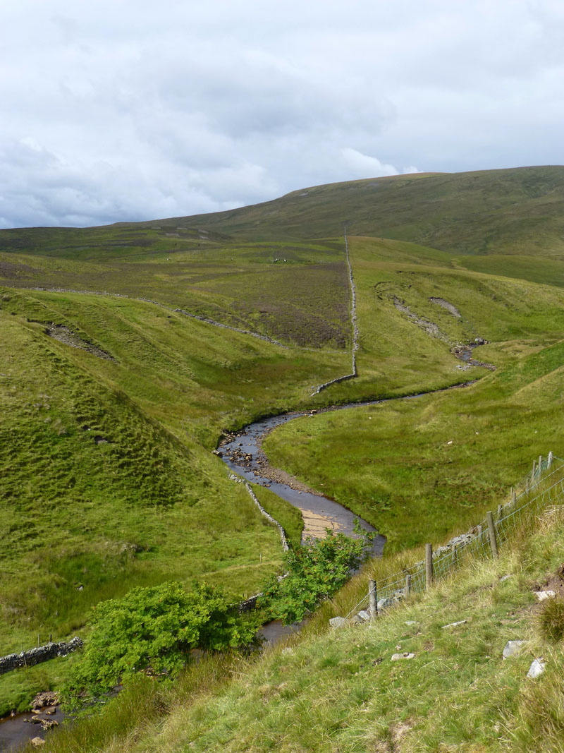 |
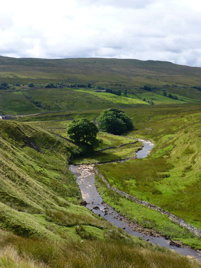
Grisedale Beck
Two views of Grisedale Beck. The walk is heading into the upland valley of Grisedale, a "hidden" dale of abandoned farmhouses - some now reinstated as private residencies. There was once a school here and it is said that of all the upland dales of Yorkshire, this was the only one to lose it's entire population to the industrial and economical changes of the late 1800's.
Blake Mire
Reachey
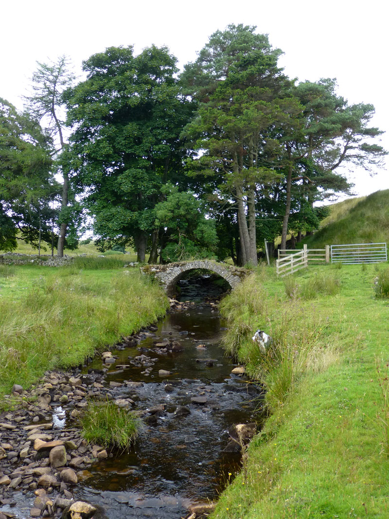
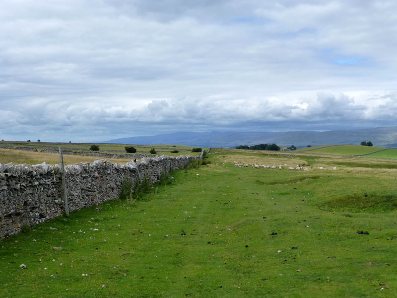
Scale Bridge
Izzy and I are playing Hide & Seek; I'm not sure she has really got the hang of it. Just behind the bridge, on the left, is a Quaker Burial Ground, in use from 1679 to 1873. If it's peace that they sought, they got it! This is my second visit to the area and I've yet to see anyone in the vicinity.
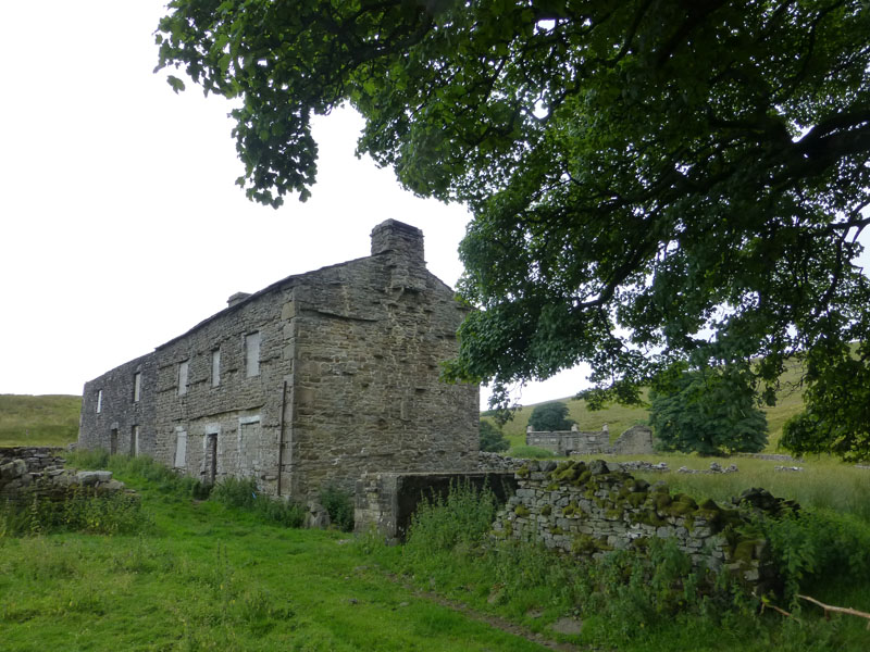
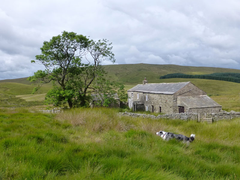
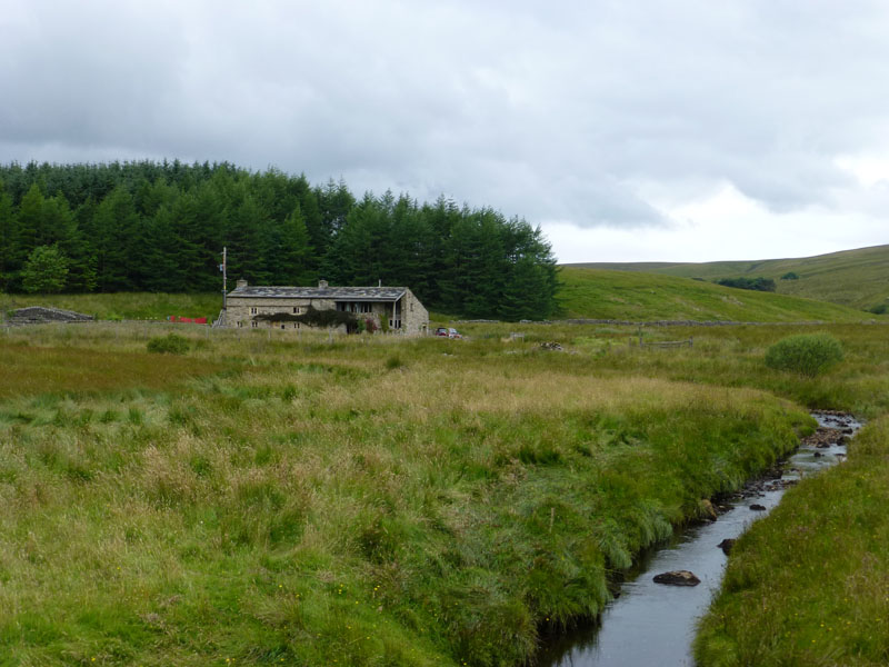
East Scale Farm
West Scale farm can be seen in the background. Both farms are abandoned, but they haven't collapsed and a little work has been done in the form of blocking the windows and some internal rendering. Perhaps the owner (if there is one) is hoping for something positive in the future.
 |
 |
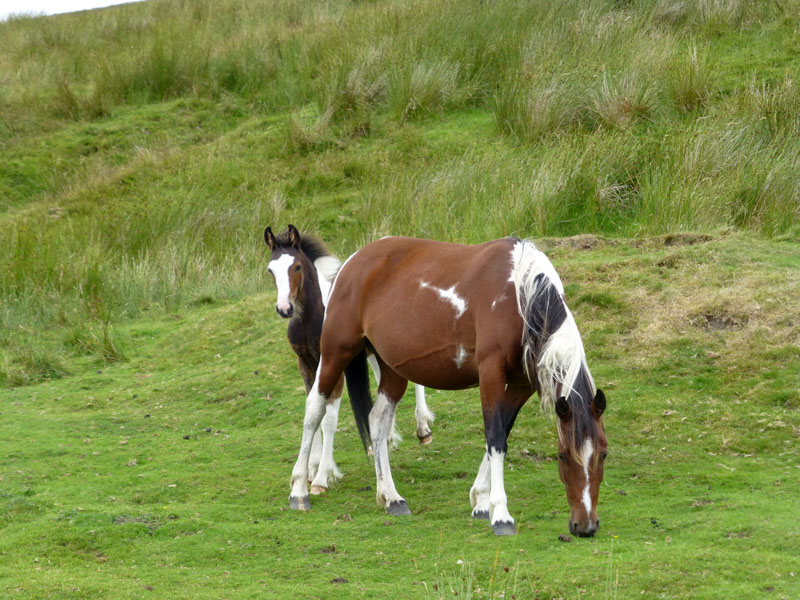
Fell Ponies |
East Baugh Fell |
A collection of ponies were on the fellside, close to Flust Gill. East Baugh Fell is beyond West Scale Farm on the other side of Grisedale as we climb Swarth Fell by a fairly steep and unmarked route from Flust and High Flust (abandoned farmsteads).
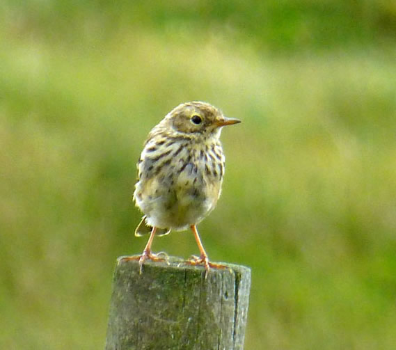
Meadow Pipit
Perhaps a youngster. There were lots of moorland birds on the way up Swarth Fell.
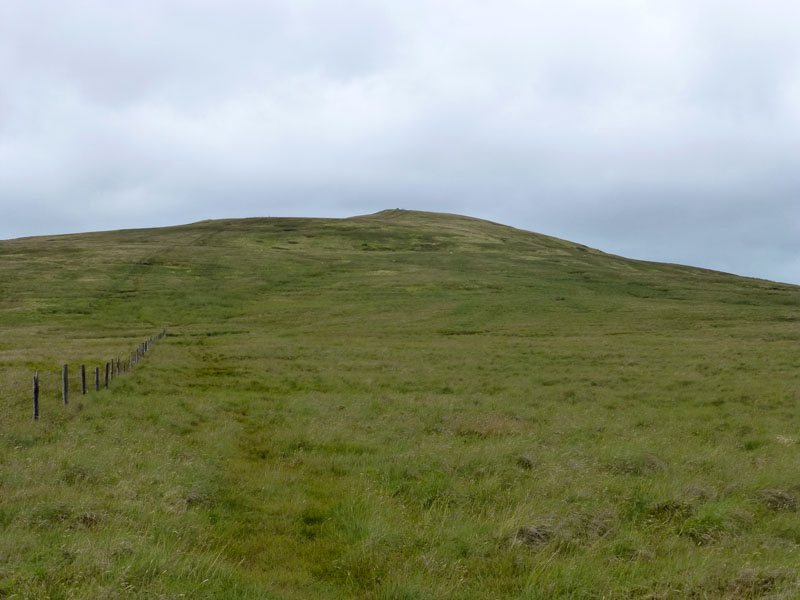
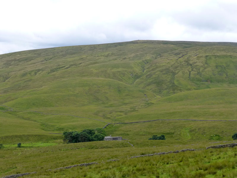
Swarth Fell
Swarth Fell is not one of those pretty places that attracts the artists' eye and sits over the mantlepiece.
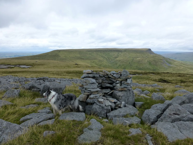
Swarth Fell Summit 2,234ft asl
Our main target, Wild Boar Fell, is in the background. We are now in Cumbria, having started in North Yorkshire, the county boundary running roughly along the ridge to the top of Swarth Fell.
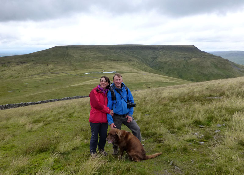
Alison & Chris
Fudge the Dog alerted me to the identities of keen fellwalkers, Alison and Chris. I've not met them before but I had seen many of their Lake District photos, see link at the foot of the page. Two and a half hours into the walk and the first sight of other walkers.
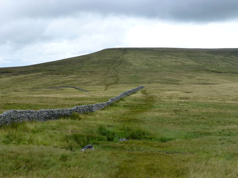
To Wild Boar Fell
Through the col, which I imagine would be very boggy during a normal summer, but relatively dry at the moment.
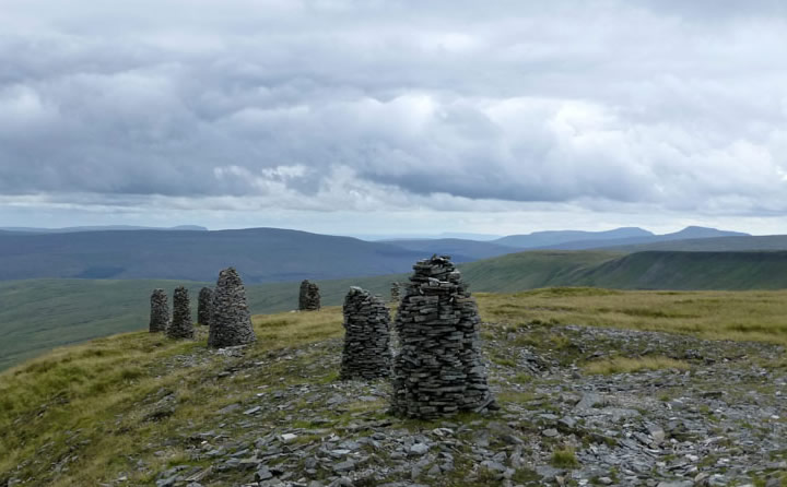
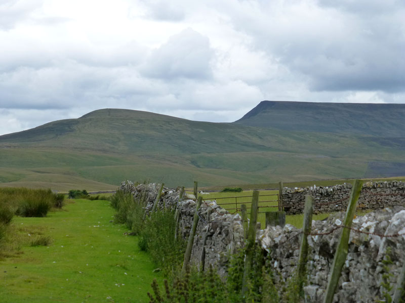
Stone Men of Yoadcomb Scar
On the eastern edge of Wild Boar Fell is the steep edge that gives the mountain its characteristic shape and, as is the case elsewhere in the region, stone pillars have been built from the abundant raw material.
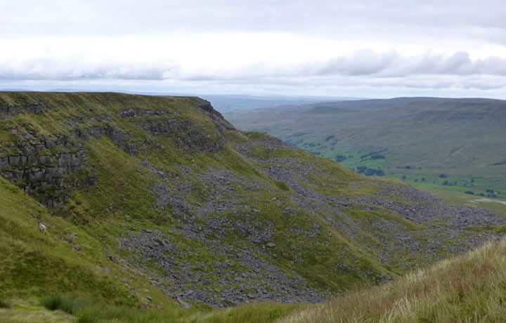
Blackbed Scar
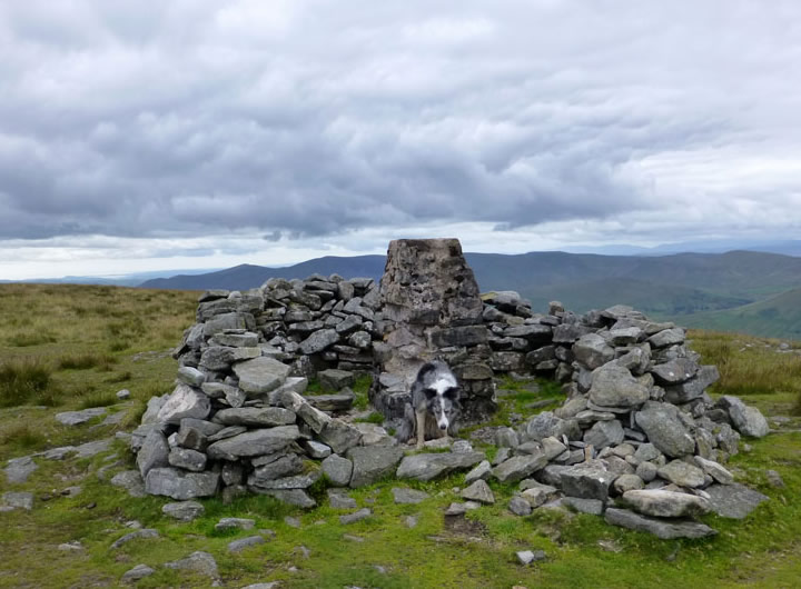
The Summit of Wild Boar Fell, 2,323ft asl
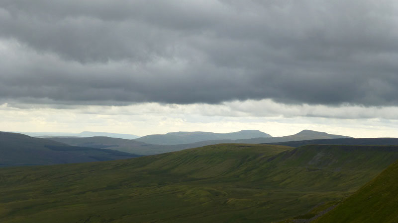
Three Peaks
But not the usual trio. Here we have Pendle Hill, Ingleborough and Whernside.
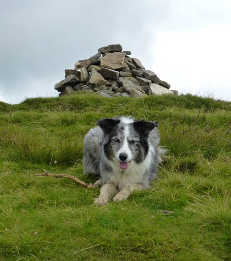
Izzy The Dog
On The Nab, a prominent viewpoint overlooking Mallerstang. However, the gloom is such that I couldn't find the enthusiasm to take picutres across the valley.
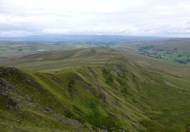
Scriddles
The route down to Kirkby Stephen is along the edge above "Scriddles" over High and Low Dolphinsty to Little Fell - the high point at the end of the edge as shown here.
 |
 |
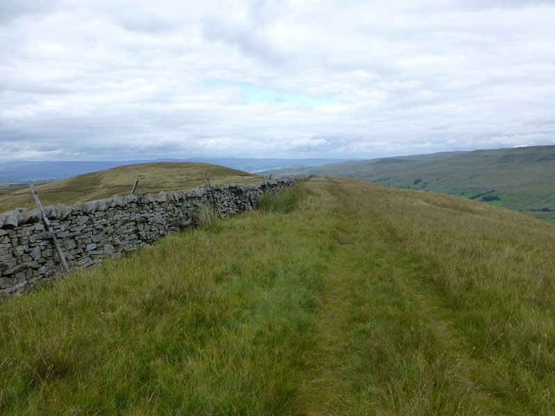
Along The Wall... |
Across The Moorland... |
 |
 |
Down The Road... |
Along Another Wall... |
To Kirkby Stephen
Looking back to Wild Boar Fell
The walk down from Wild Boar Fell to Kirkby Stephen railway station took about two and a half hours and left us with 45 minutes to spare before the southbound train was due to arrive.
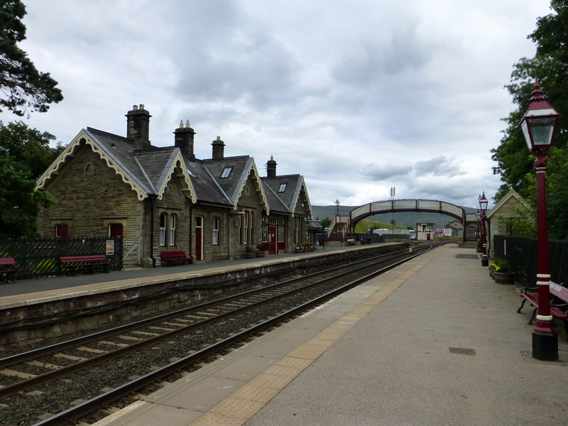
Kirkby Stephen Railway Station
Rather than wait here, we caught the next northbound train to Appleby and then joined our train from there instead. £4.10 for the extra journey; £11.70 for the Hellifield to Kirkby Stephen return fare.
Walkers: Izzy The Dog and Me
Route: Garsdale Railway Station, Grisedale, Scale Farms, Flust, Flust Gill, Swarth Fell, the col, Wild Boar Fell, Dolphinsty, Little Fell, Tommy Road, long wall to the A683 / A685 and along to Kirkby Stephen Station.
Time taken: 5 hours 50 minutes over a distance of about 12.5 miles.
Greetings: Alison and Chris were the first and then five more on WBF and all quiet again on the way down to KS Station.
Weather: Brightness soon gave way to dull and breezy. Rather chilly on the tops, warming up again towards the end.
Chris's Photos etc.
My previous walk up Wild Boar Fell - this was Kirkby Stephen to Garsdale many different aspects to the route.
All photos copyright Richard Ratcliffe 2013 ©
Take me back to the start ....