
~Oxenholme to Windermere~
15th June 2013
Scout Scar
Scroll down for photos and a description of the day....
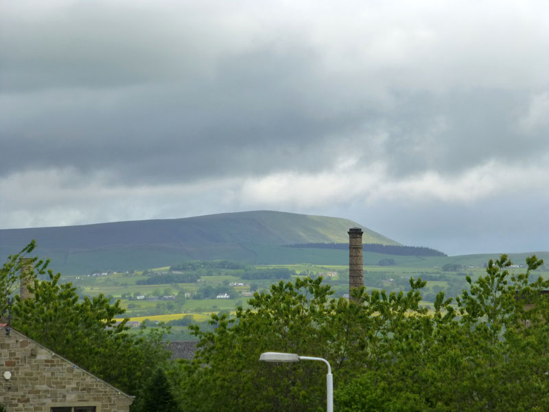
Pendle Hill from Burnley
A late start today, catching the 09:57hrs from Burnley (Manchester Road) Railway Station. Notice the splash of yellow in the fields, it's been a good year for the buttercups.
 |
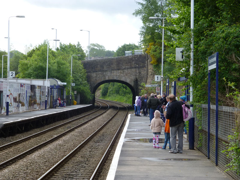 |
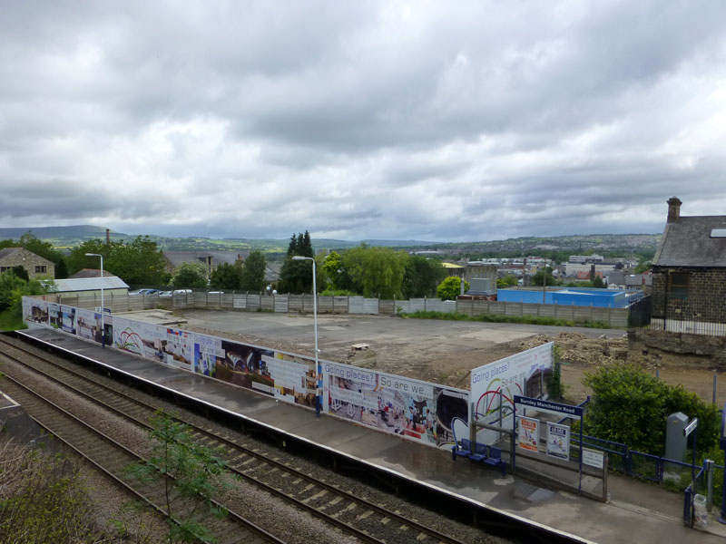
Burnley (Manchester Road) Station |
On the Platform |
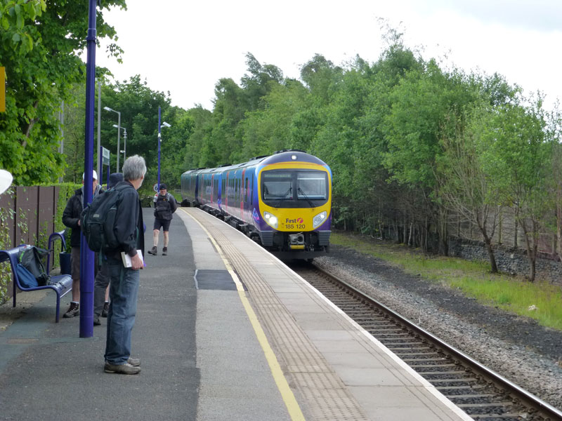
Watch this space, we are going to get a new station building to coincide with the opening of "Todmorden Curve" and a direct service to Manchester. Lots of folk on the platform, the train will run to Blackpool, always a popular summer destination.
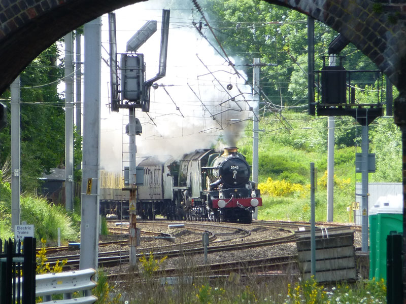
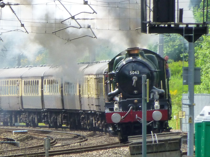
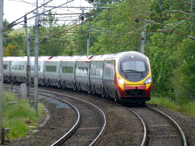
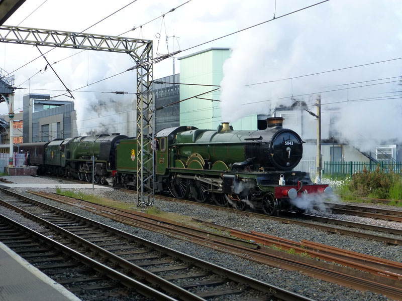
The Cumbrian Conquerer at Oxenholme
I arrived at Oxenholme in time to see the northbound steam-hauled charter train. This is the best photo I managed of the train. Those on the southbound platform were very concerned about a late running "Virgin" train, which had the potential to obscure the photographers' view. So I moved to the nearside, northbound platform, where far too much railway paraphanalia was the problem.
 |
 |
No.5043 The Earl of Mount Edgcumbe |
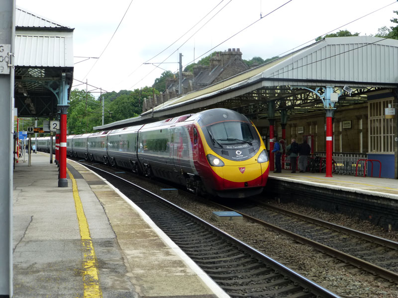
Virgin Pendolino |
The steam train powered up the line, three minutes early. The Pendolino arrived, late but as expected at just the time the other train was due in, so it was a close run thing. Now, where shall I go for a walk?
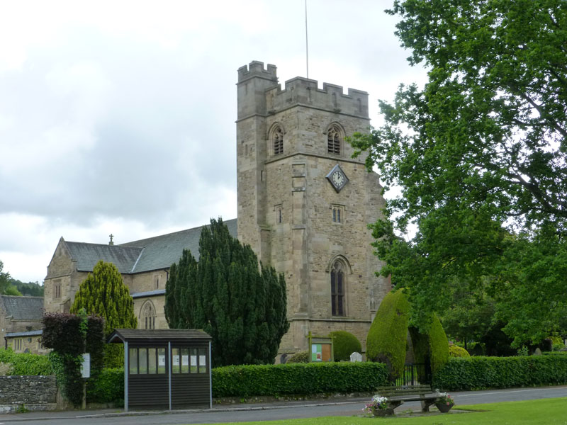
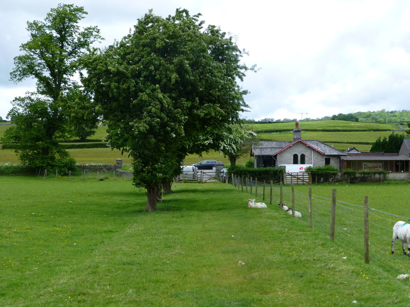
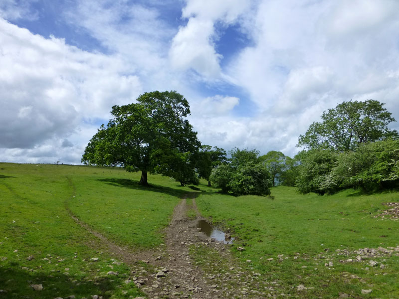
On the lane down from the station is a footpath across a field and the first destination will be Natland.
 |
 |
St.Mary's Church |
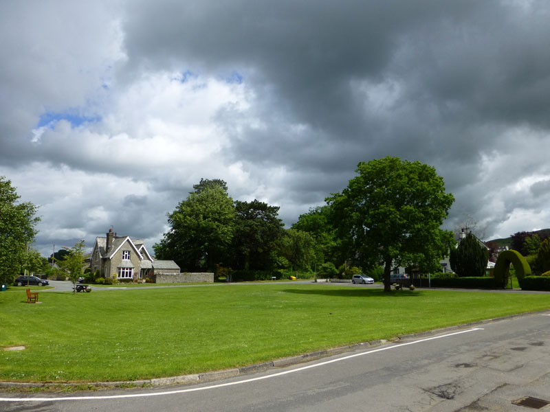
The Village Green |
Natland
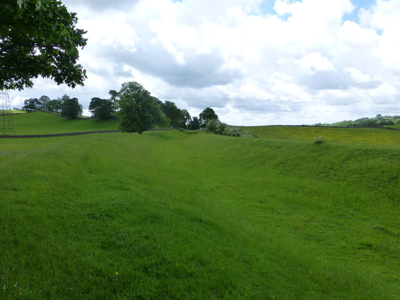
It's a breezy day and I'm carrying waterproofs in case any of the forecast showers materialise. I leave Natland in a southerly direction and then walk through Cracalt Farm to meet the route of the disused Lancaster Canal.
 |
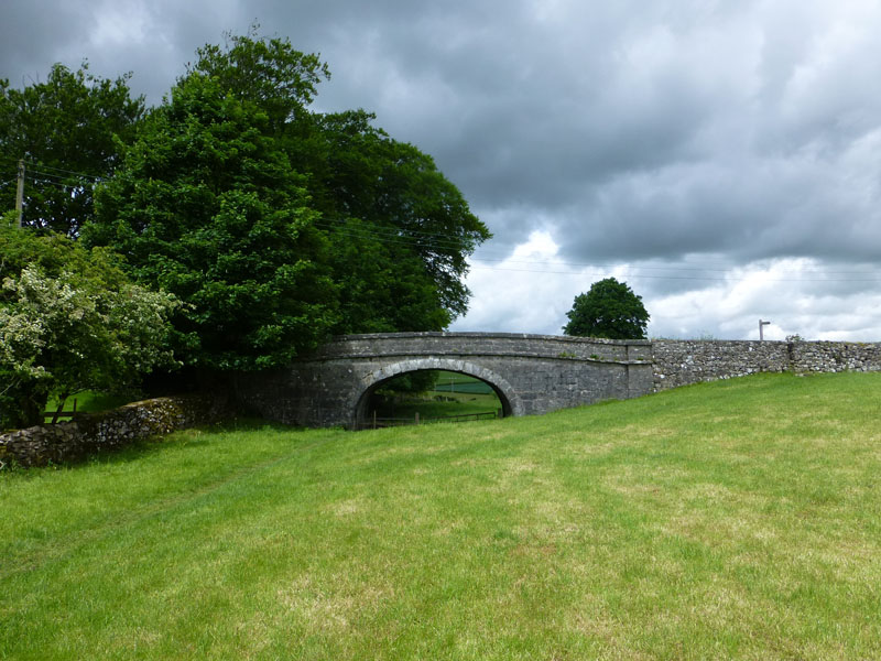 |
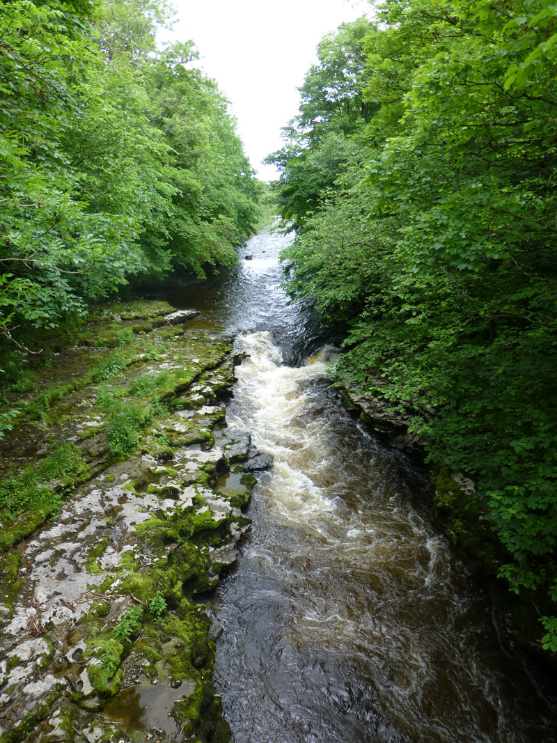
Lancaster Canal |
Canal Bridge |
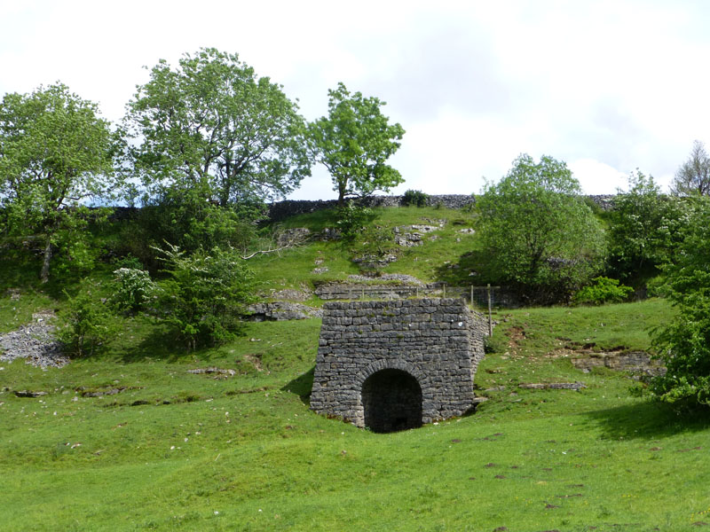
Disused Canal
The canal closed in 1947, it's rather strange seeing the trench and the bridge, under which is a towpath.
River Kent
The River Kent passes under Hawes Bridge. My walk route heads for Prizet Farm and the A591.
Prizet Gatehouse
The old entry route for Prizet House (private, out of sight), now leads to the A591, maybe the busiest road in South Cumbria. I took a short break, waiting for a gap in the traffic.
 |
 |
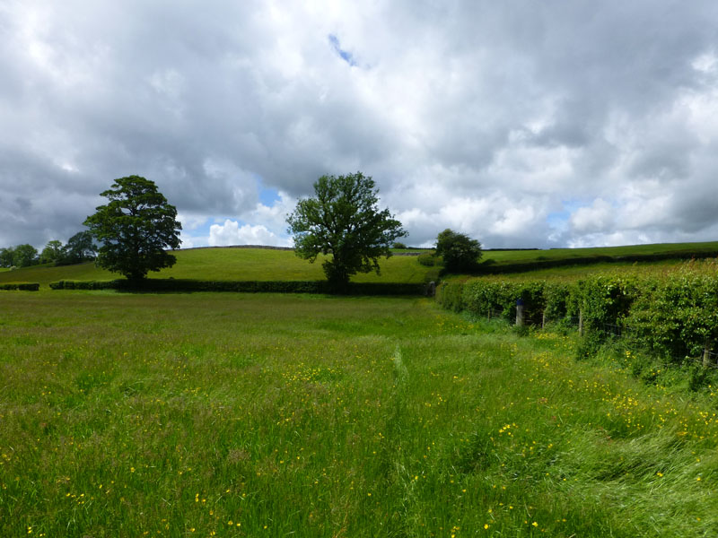
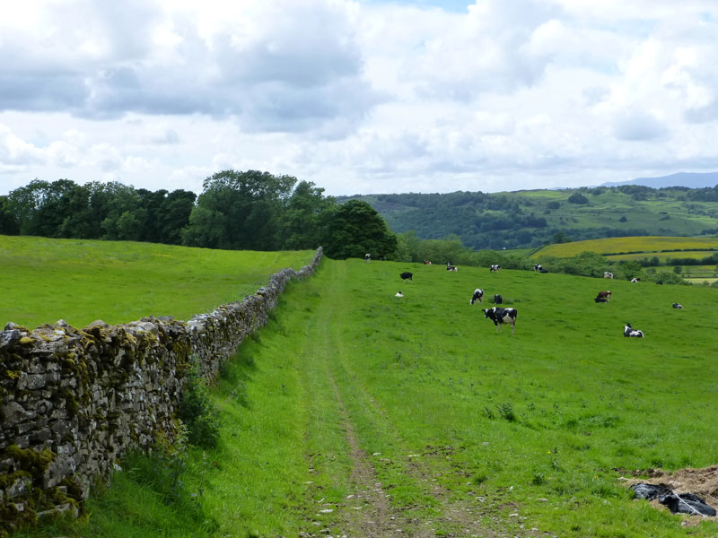
Six Fields |
Natland |
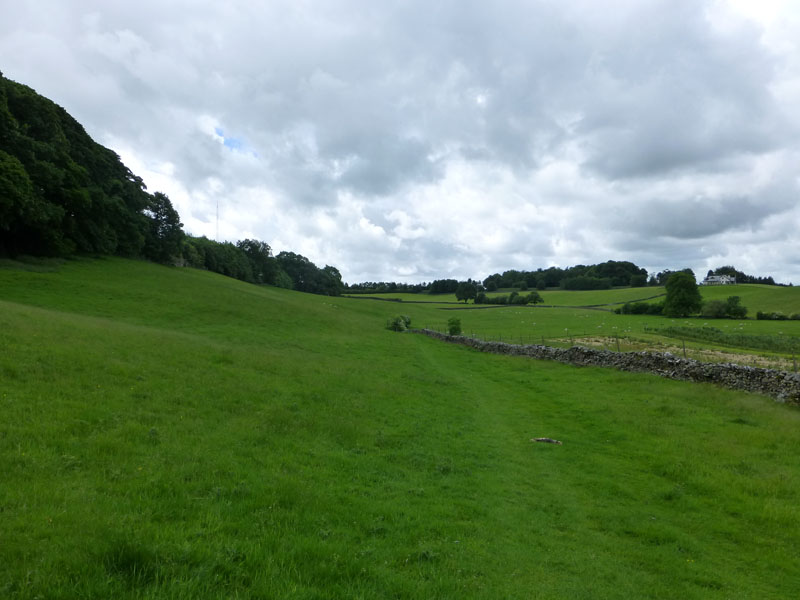
Up through six fields and then past Briggs House Farm, for a view back to Natland and Oxenholme. I think the fell in the distance could be Baugh Fell and closer in the middle ground is The Helm.
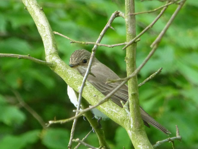
Spotted Flycatcher
I lurked on the edge of Gyspy Wood and waited for any of the many birds to land nearby.
 |
 |
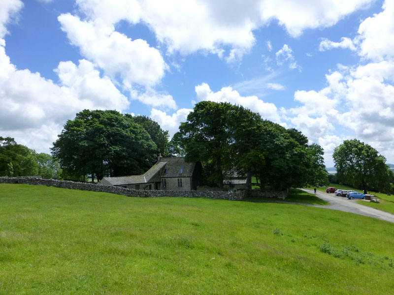
Helsington Church |
To Helsington Barrows |
The car park at Helsington Church is a start point for a walk up to Scout Scar.
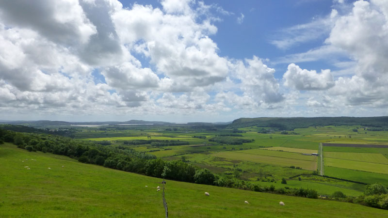
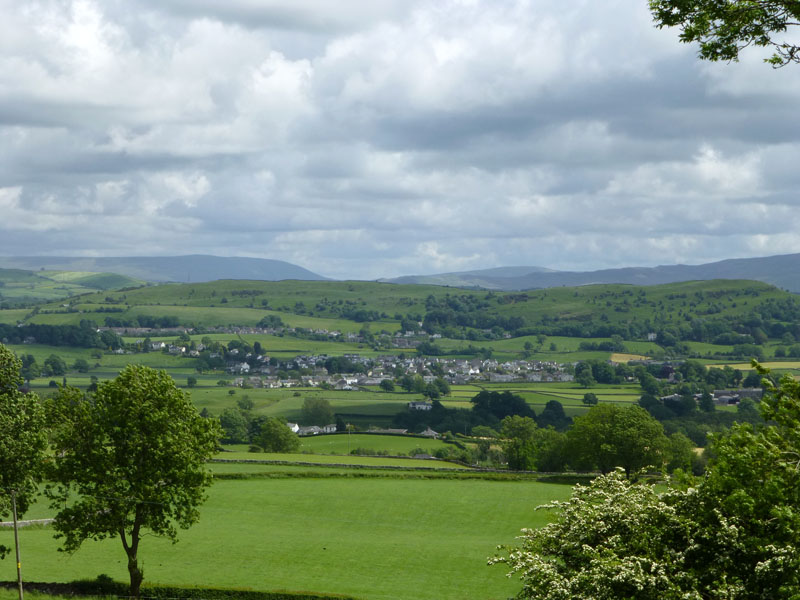
Kent Estuary and Whitbarrow
Helsington Barrows
 |
 |
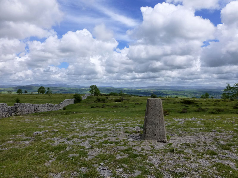
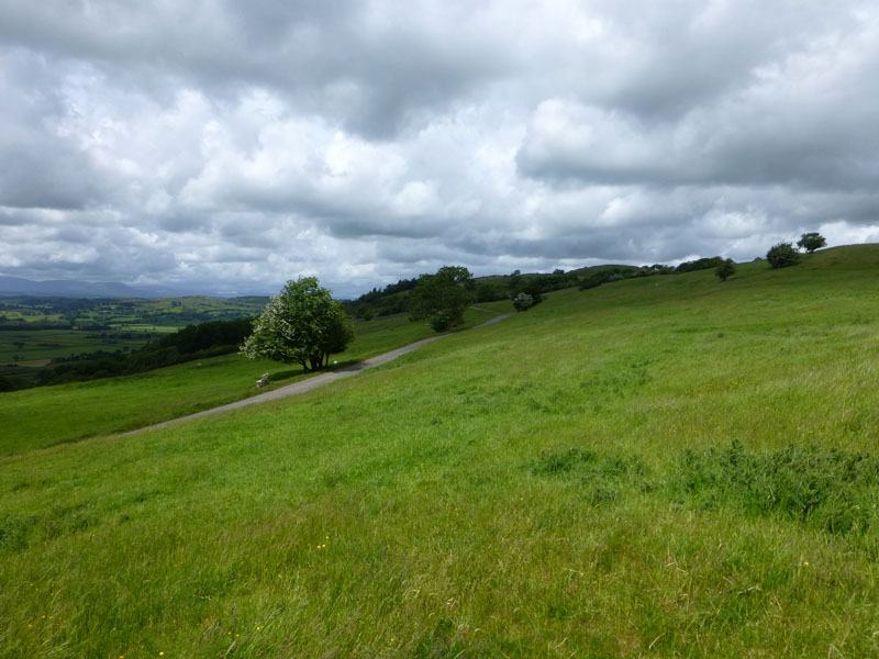
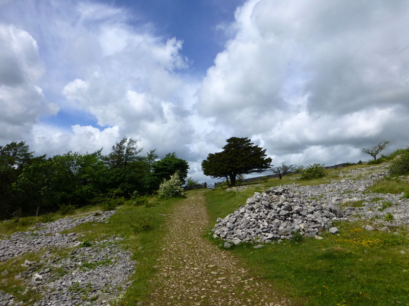
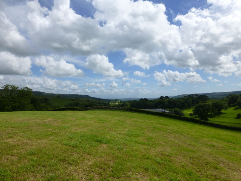
Scout Scar
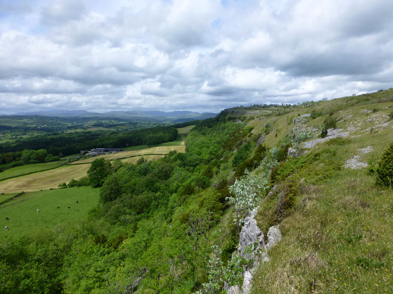
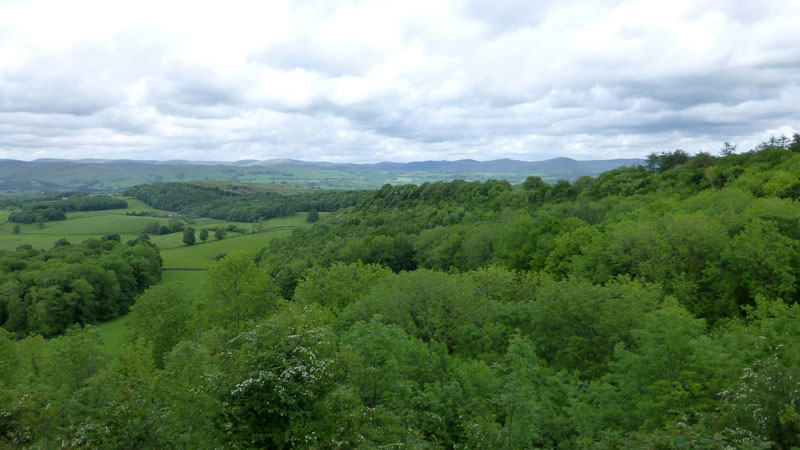
Up onto Scout Scar, a limestone feature of Southern Cumbria. The views are very impressive today and must be fantastic on a really clear day. I've driven to the Lakes on the eastern side of this hill (A591) hundreds of times and never paused for thought or a photograph.
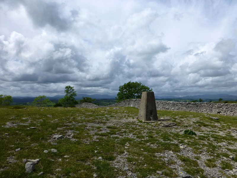
Scout Scar Summit 764ft asl
This happens to be listed as an Outlying Fell in Wainwright's coda to the territory of Lakeland Fells. A book I possess, but a list I don't tick off, yet.
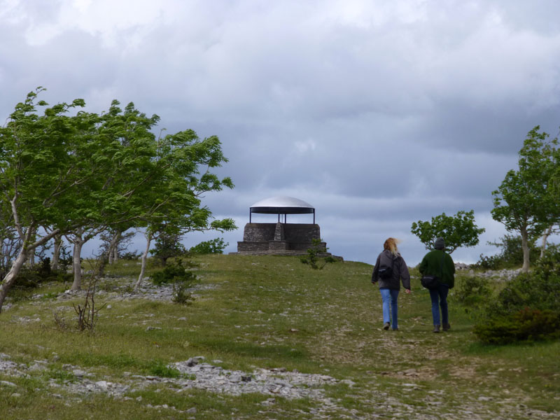
The Mushroom
Shelter from the wind? Not really, it was blowing in all directions, maybe there would be more shelter if there wasn't a roof. Within the roof canopy are the names of all the fells on view, all the way round.
Cunswick Scar
The view from the bench dedicated to "Ron Haigh". Cunswick Scar is not on my agenda for today, but it is the feature with trees along the edge, in the middle left of the photograph.
 |
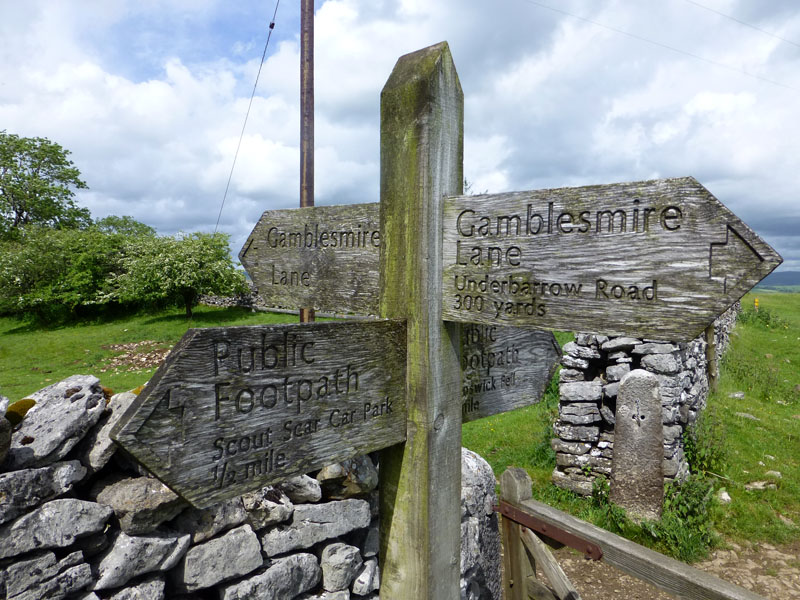 |
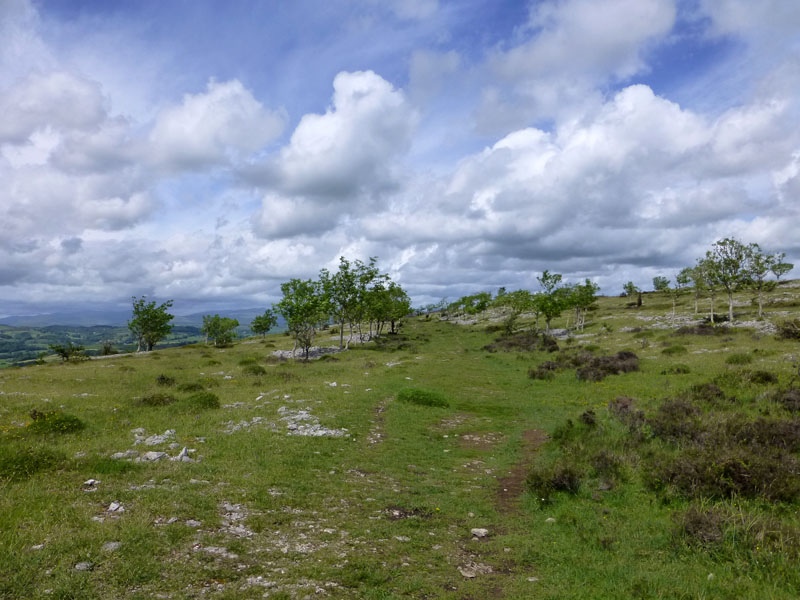
To Gamblesmire Lane
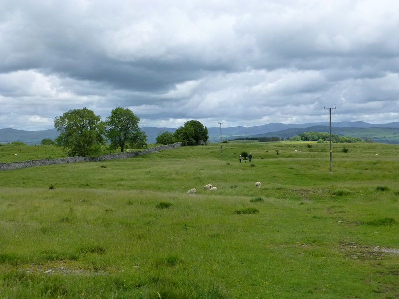
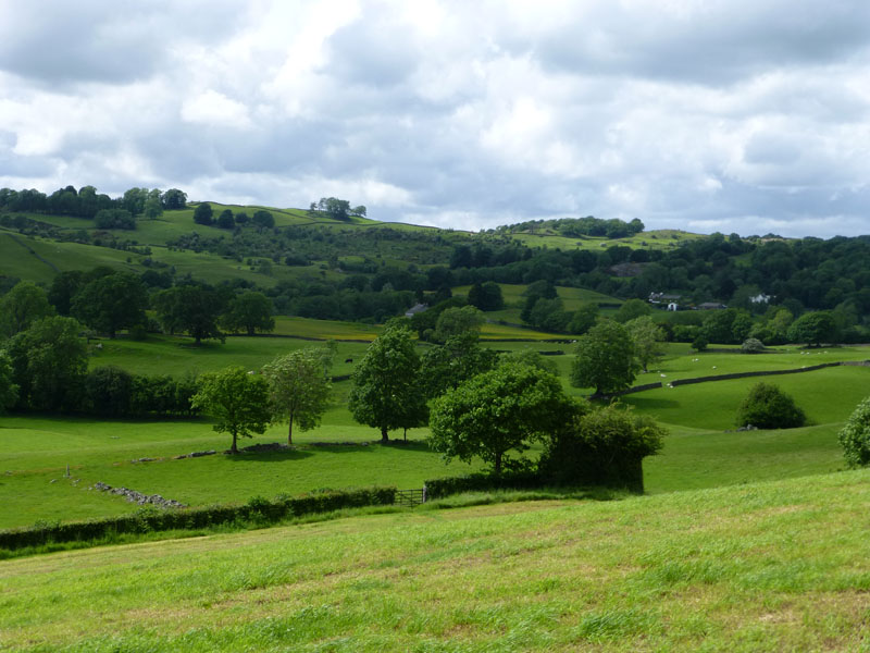
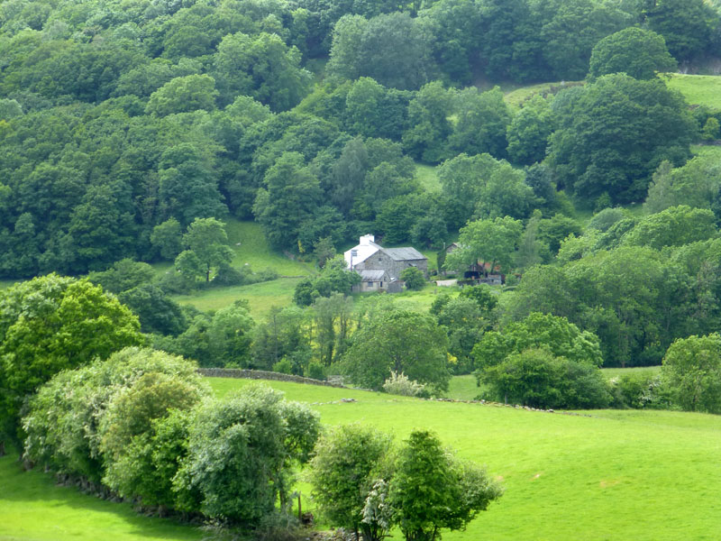
My route took me off Cunswick Scar and onto Gamblesmire Lane. This country route heads west past Cunswick Hall, through a wood and along narrow lanes, missing Cold Harbour and never nearing Bonfire Hall and Tranthwaite Hall (but going between the two) before weaving across fields to Beckside Farm.
 |
 |
 |
 |
 |
 |
 |
 |
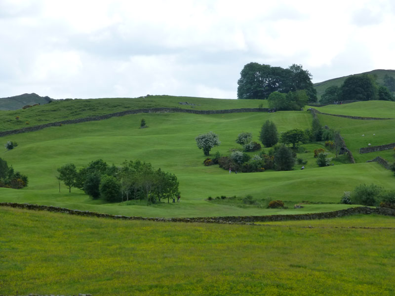
Views from the route to Beckside Farm
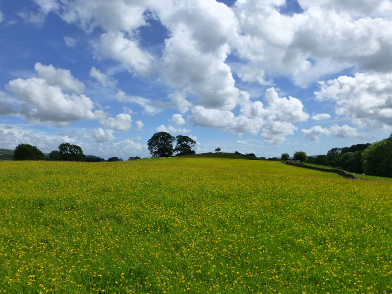
What a good year for the buttercups! For all the talk of a cool Spring and various murmurings about lack of warmth, let's not forget that this is a far drier period than the corresponding one from last year.
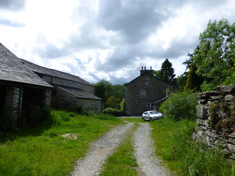
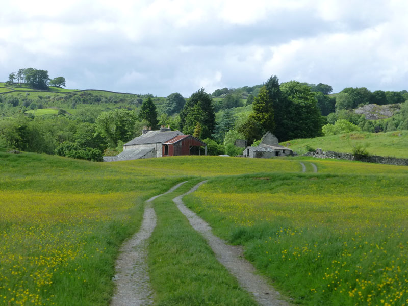
Beckside Farm
From Beckside Farm, it was on to the unclassified road past Crag Hills to Crook Hall.
 |
 |
Beckside Golf Course |
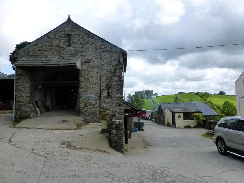
Crook Farm |
Beckside Golf Course is young by most courses' standards. Crook Farm is said to be "historic" and a footpath runs straight through the yard and, in my case, off to the site of the reamins of St.Catherine's Church.
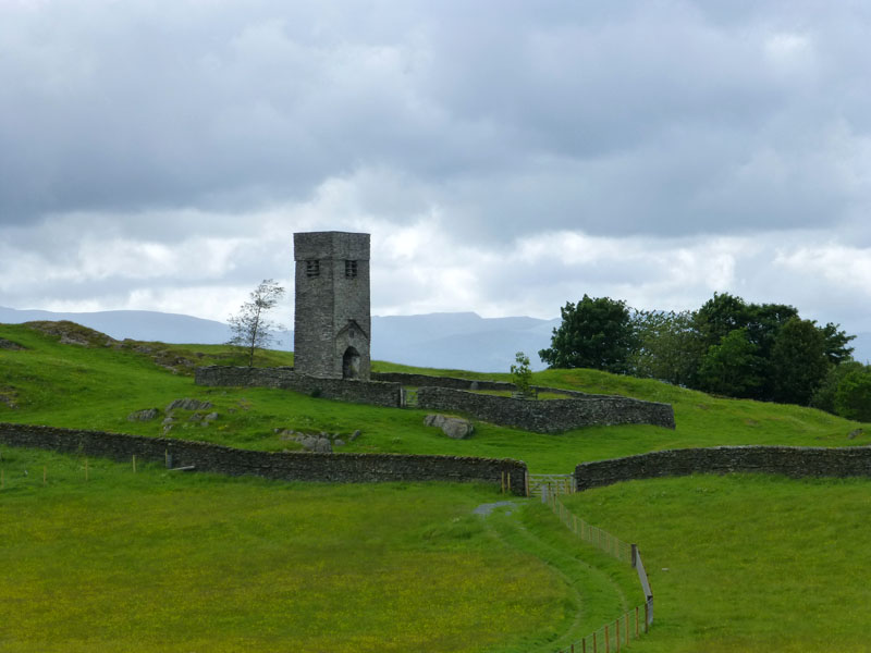
St.Catherine's Church (remains)
and an explanation of this unusual scene...
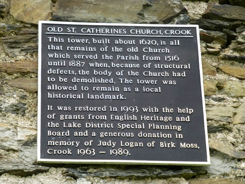
The Explanation
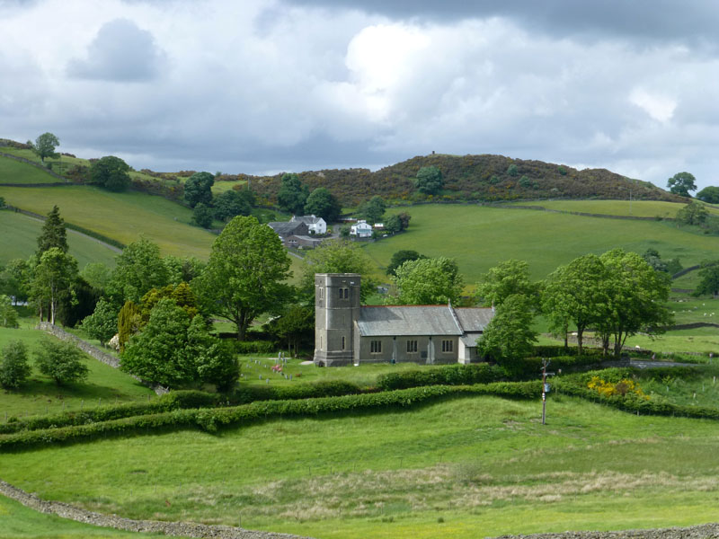
"New" St.Catherine's Church
I walked down to the road, just in view and past the "new" church. It was not in my original plan, but time was an issue, so I followed the B5284 (Crook Road) for the next two and a half miles. After passing The Wild Boar Inn and Gilpin Lodge, I turned onto a track leading to Windermere, passing Cleabarrow and walking just south of School Knott, before entering Windermere at "Lakeland" store's car park, itself built on redundant railway territory and located next to the railway station.
 |
 |
Windermere Railway Station |
Pendolino at Oxenholme |
The 18:02hrs from Windermere arrived at Oxenholme in time to catch the next London-bound express service from Glasgow. Two stops down the line is Preston and another chance to see the steam train.
GWR Castle Class 4-6-0 no 5043 Earl of Mount Edgcumbe, and
LMS Coronation Class 4-6-2 no 46233 Duchess of Sutherland at Preston
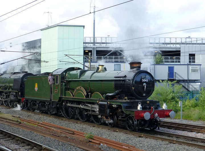
No.5043 leads the way
The Cumbrian Conqueror was bang on time. My connecting service to Burnley was held up for 25 minutes due to not having a driver. Ah, the unstoppable march of progress! What is slightly worse, but I knew this all along, is that the train back to Burnley was bound for Colne and therefore didn't take me back to Manchester Road Station. I had to walk from one station to the other, just when I didn't want a walk -at least it wasn't raining!
Walkers: Just Me
Time taken: 5 hours 45 minutes over a distance of about 15 miles and 2,100ft of ascent.
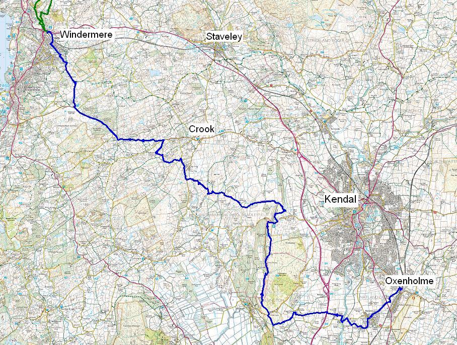
Route: As descibed and as per map shown below.
Weather: Mainly sunny, but cool in the persistent breeze.
Refreshments: There is a station cafe at Oxenholme, modern coffees and modern prices.
Not much chance of viewers following this, but it starts in the bottom right and finishes in the top left. It might give you some idea of the chosen route. Video below by "drs47802" aka Scott
All photos copyright Richard Ratcliffe 2013 ©
Take me back to the start ....