
~Armboth Fell~
30th June 2015
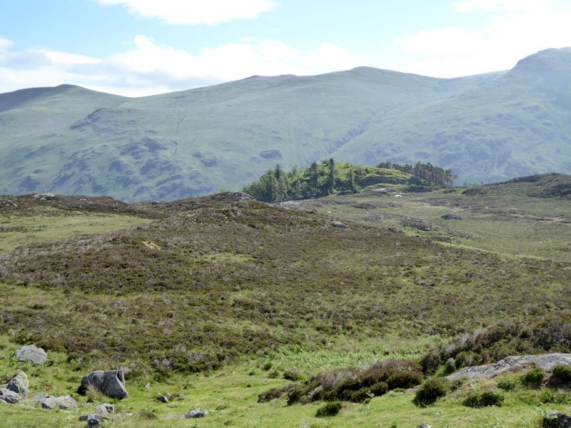
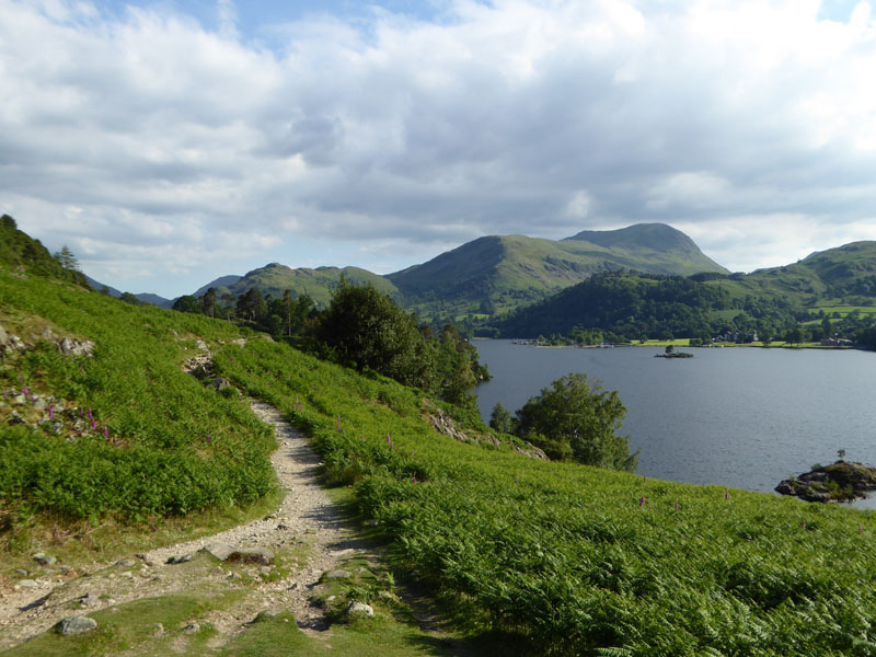
Fisher Crag
Scroll down for photos and a description of the day's walks....
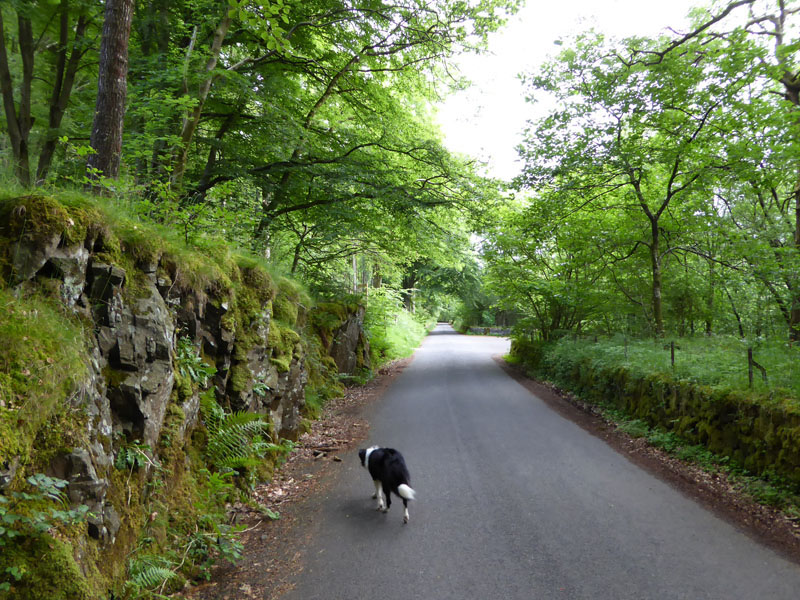
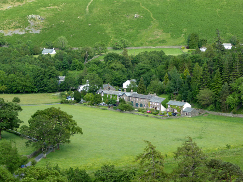
Roadside Parking
Molly and I allocated three hours for an ascent of Armboth Fell. That's the time door-to-door from the holiday cottage, we parked in one of the laybys on the Thirlmere lake road, close to Launchy Gill.
 |
 |
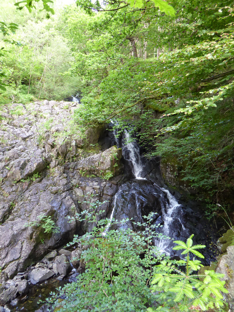
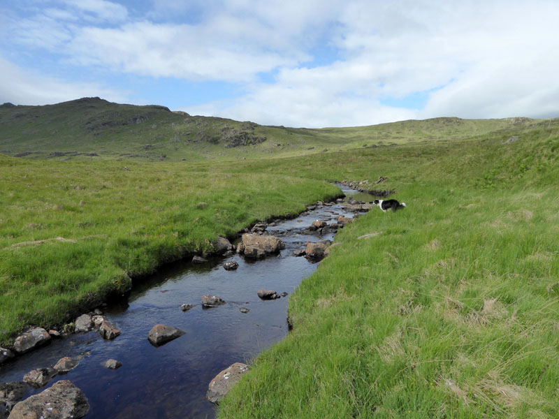
Launchy Gill
Five years ago, I made my only previous ascent of Armboth Fell - on a very cold and wintry February day. At the time I thought it be my only ever ascent of this fell of which Wainwright remarked "It can be said of very few fells that they are not really worth climbing, Armboth Fell is one of the few." But circumstances have conspired to make this a very appealing challenge on a warm summer's morning.
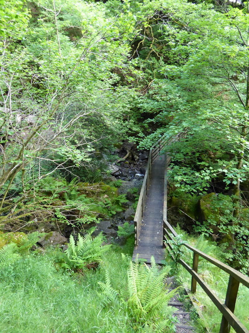
Launchy Gill Footbridge
"They" have erected an information board and encourage walkers to take the safe stepped climb up to the footbridge and enjoy vews of the waterfalls. On the map, a feint dotted line shows a footpath going off to the right after the footbridge. On the ground, the path is equally feint and I missed it, faithfully following the more prominent path up to Thackmell Crags.

The Tottling Stone
Imagine my surprise when I came across this unexpectedly large boulder, sat on a bed of smaller stones. Help from others on t'internet has revealed its name as The Tottling Stone. There are not many stand-alones like this in the Lake District, especially in such an apparently precarious position. We then returned down the path to the bridge and tried again to find the rarely used path up Launchy Gill.
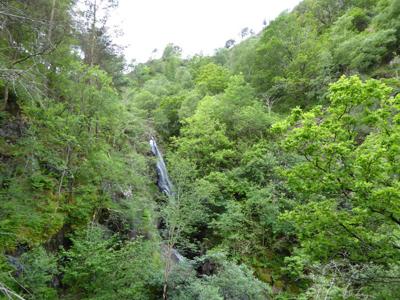
Main Waterfall, Launchy Gill
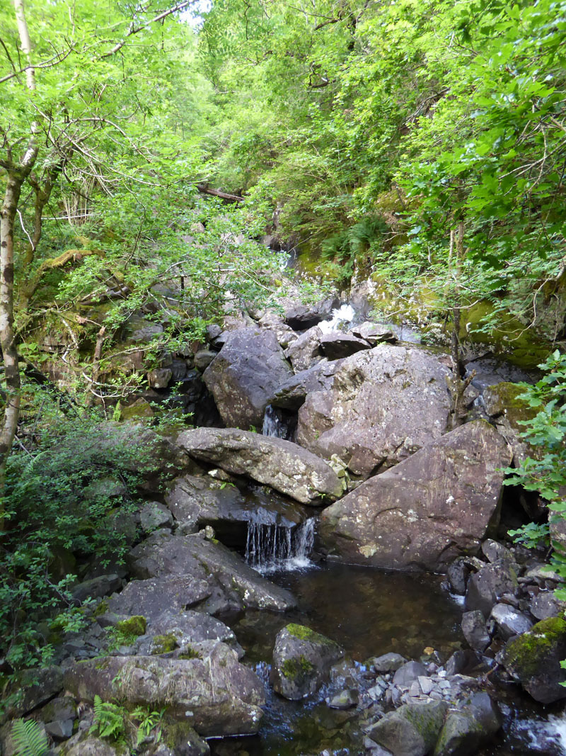
It's a bit of a rough scramble at times on the correct footpath and there are occasional views of the waterfalls.
 |
 |
Launchy Gill
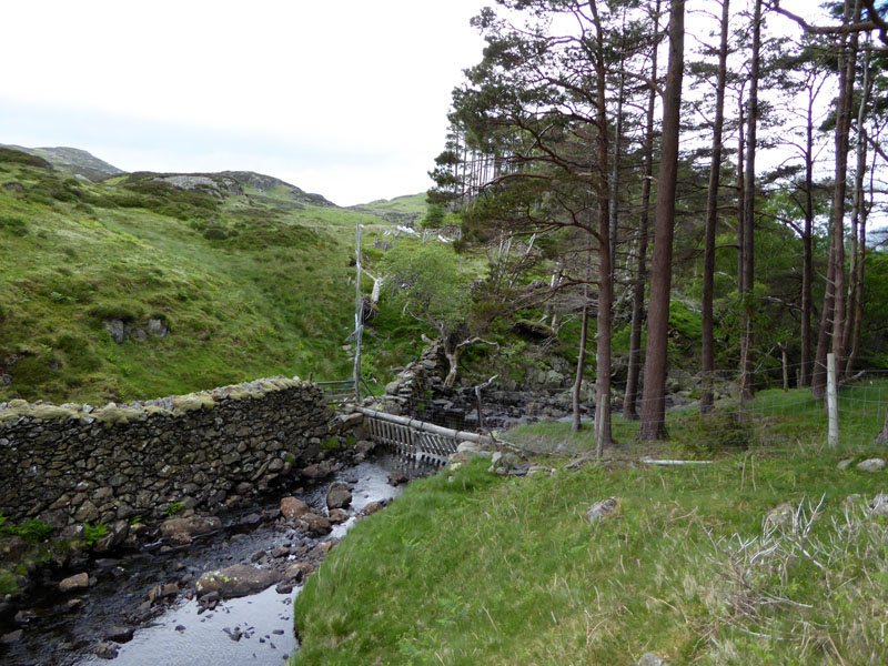
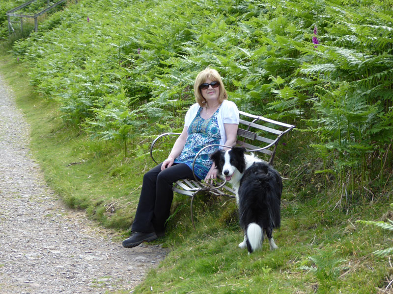
At the fence, there is no stile. I am glad there is no video footage to show my ungainly method of getting past the fence. We enter a quiet place, a haven for those in search of solitude. Hopefully not too many of those characters will turn up on the same day, otherwise the quest will be self-defeating.
Fellwalking Hinterland
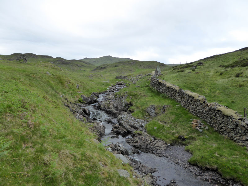
Fellbaggers have little to gain by following Launchy Gill, but I wasn't for taking the beeline to Armboth Fell top. The plan was to follow the gill to Launchy Tarn and then take a route to a wall, as shown on the map.
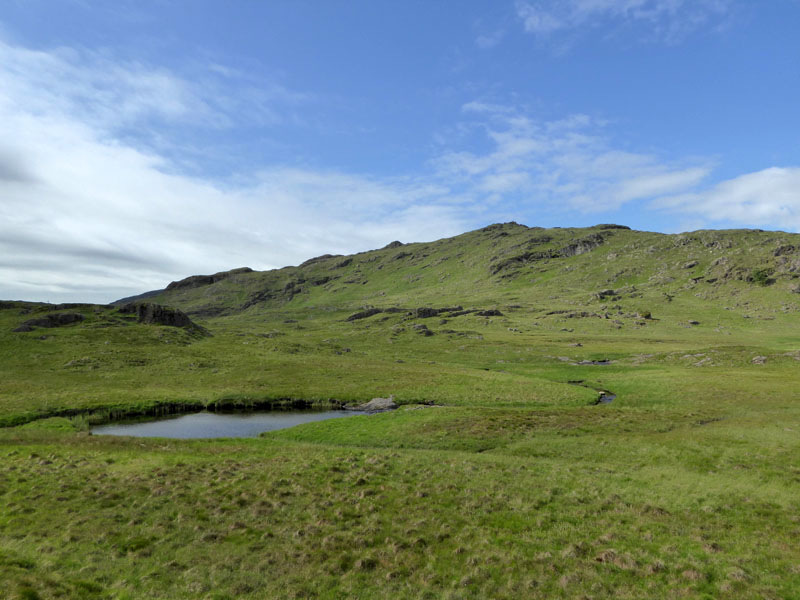
Launchy Tarn
 |
 |
The Wall
In an area where there are few landmarks, the map revealed a wall adjacent to a stream, so I chose to walk to such and then head for the summit. My own opinion is that this walk would be unwise and maybe unsafe in mist.
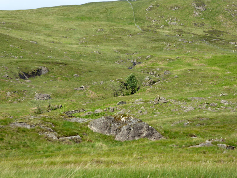
To Armboth Fell Summit
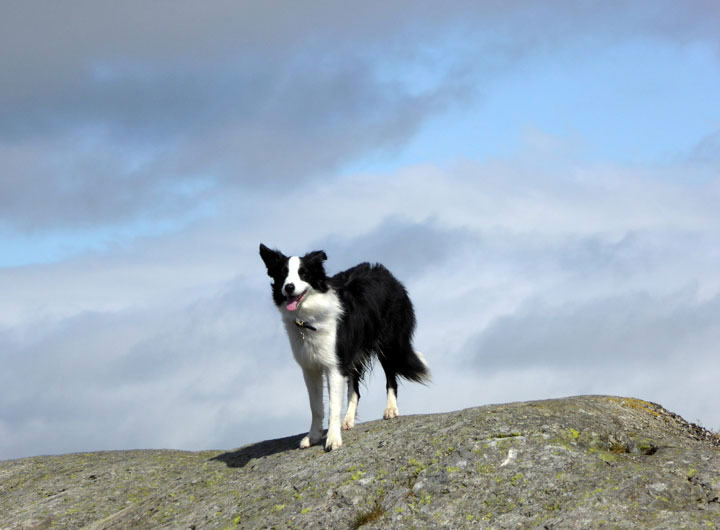
Molly on top of Armboth Fell, 1570ft
There seems to be more than one highpoint, so take your pick. I couldn't be bothered traipsing around with a GPS trying to find which one of four prominent bits is a few inches higher than the other three. Life's too short for such anorakism.
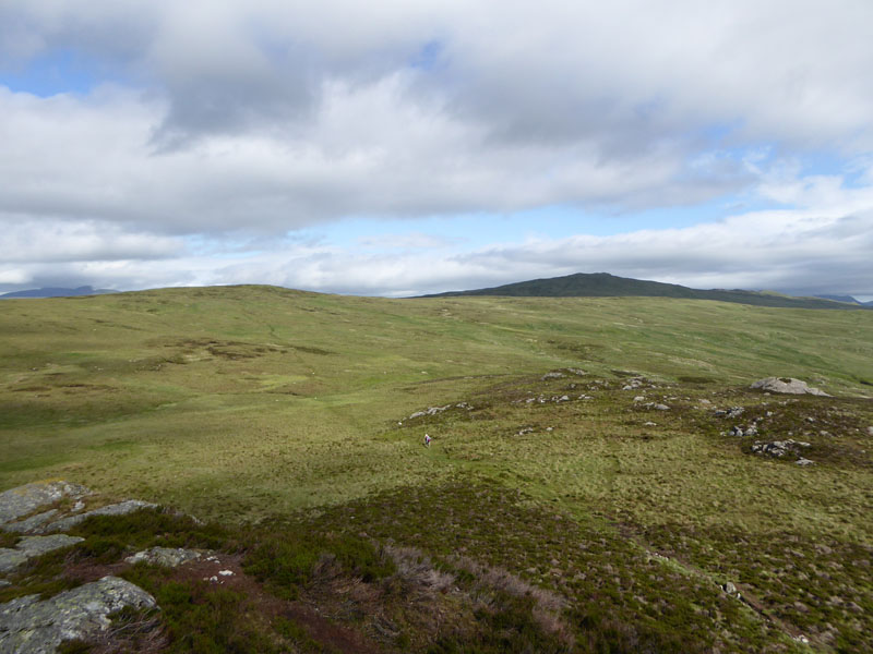
To High Tove
Keen-eyed viewers may spot two walkers en route from Armboth Fell to High Tove (left) and maybe High Seat (right). I was disappointed to see others on this walk!
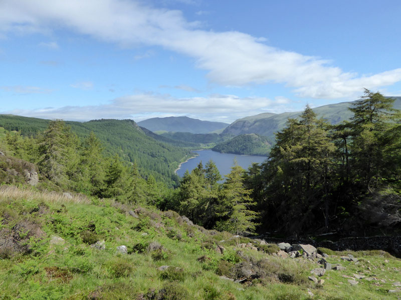
Thirlmere
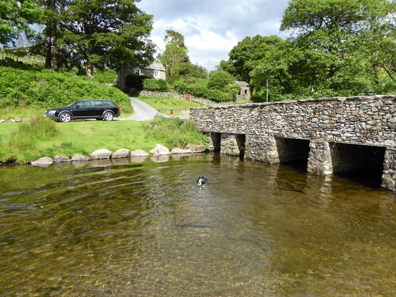
This view on the descent route into Fisher Gill shows Raven Crag (left) in the trees, Great How (right) also popular with trees and Blencathra further away.

Fisher Plantation
We took the forest tracks down through the forest to regain the lake road and walk back along to the car. Armboth Fell is well worth the effort in circumstances such as these.
Of the Armboth Fell walk:
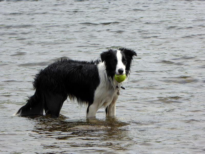
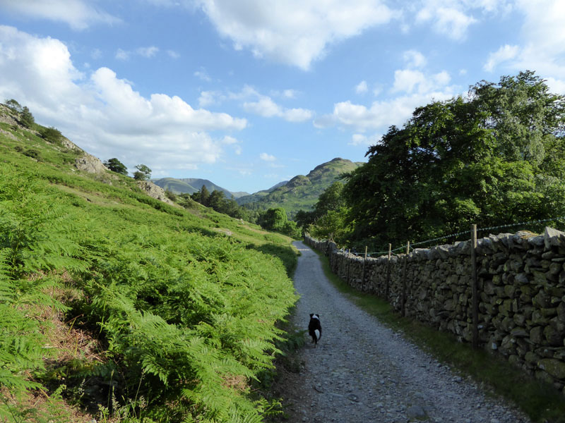
Walkers: Molly The Dog and Me.
Route: Right-hand side of Launchy Gill, crossover at the footbridge, look carefully for the feint track to the right - top of the forest and into the open countryside, following the gill to Launchy Tarn. Directly west to the broken wall and stream, then north to Armboth Fell summit. Down to the trees in front of Fisher Crag and through the forest back to the road.
Time taken: 2hrs 10mins over a distance of about 4.5 miles. Door-to-door in 2hrs 45mins.
Weather: Dry and warm with sunny intervals.
Later, we went over to Ullswater for a journey on the steamer to Howtown and the shoreline walk back to Glenridding.
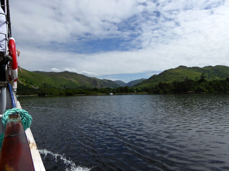
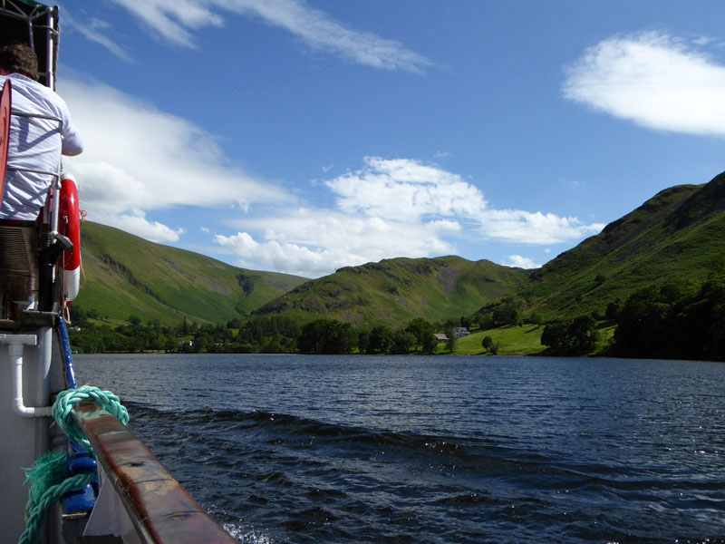
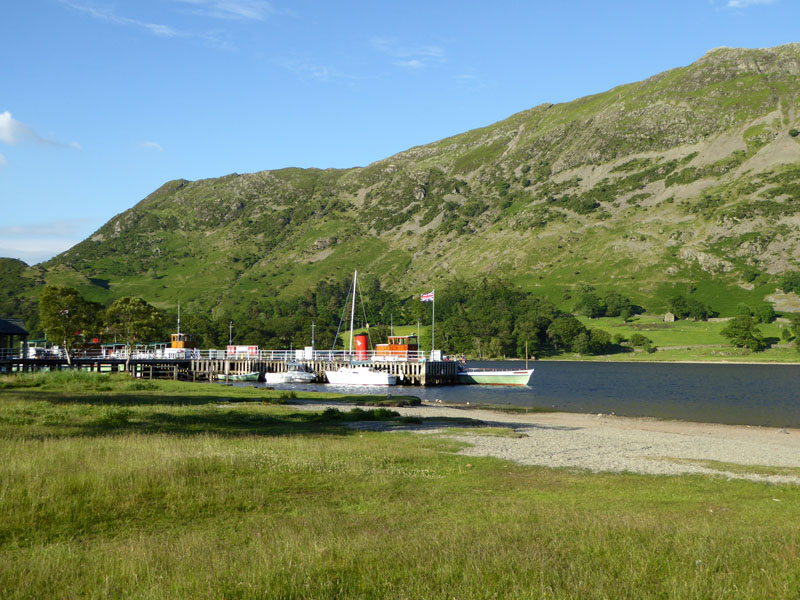
Steamer View
We aimed for the 14:05hrs boat, but it was full, boosted by a coachload of retirees. Oh Joy! An hour and a bit to wait for the next one. We had by this time bought the boat ticket and paid for car parking, so not travelling was never an option. Molly had a good idea:
Ullswater
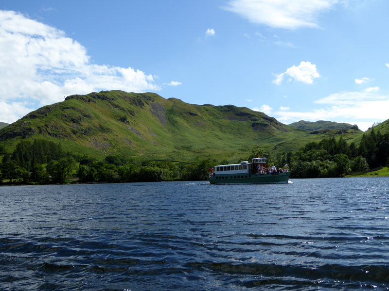
Anyway, we took it easy and caught the 15:15hrs service to Howtown.

Norfolk Island
Tourist suggestion: hire a rowing boat for at least 2hrs, pack a picnic and head for Norfolk Island.
Steel Knotts
En route to Howtown Pier, we get a fine view of Steel Knotts.
Ullswater Steamers
 |
 |
The Walk |
Howtown |
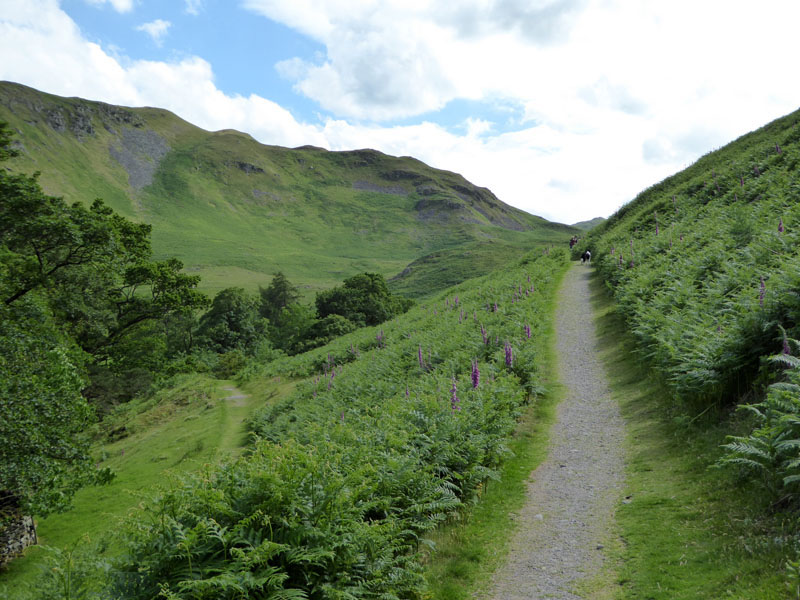
This so-called "shoreline" path rarely meets the shore. It's about 6.5 miles and starting at 16:00hrs on a really hot day was not the best plan. We found it tough in the heat.
~~~
~~~
Lowther Tearoom
This tearoom was closed at the time of our visit, but it looks a good bet for walkers on this route.
Ullswater
Nearly There...
Glenridding Pier
3hrs 15mins in uncomfortable heat, luckily Side Farm shop was open and we bought bottles of water, as we had run out of supplies by then. This is a really fine walk, but it doesn't meet the shore very often. We should have started the walk earlier in the day.
Later after tea at The Royal Hotel, Dockray, we travelled down St.John's in the Vale on the way back to Thirlmere.
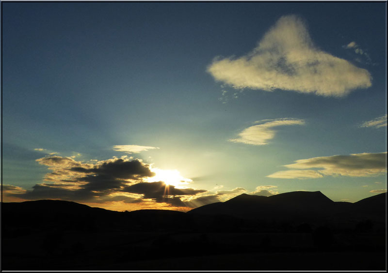
Skiddaw Sunset 20:40hrs
Last time I went up and over Armboth Fell
Last time Me n' Molly walked back from Howtown
All photos copyright Richard Ratcliffe 2015 ©
Take me back to the start ....