
~Braithwaite to Buttermere~
Causey Pike to Whiteless Pike
17th October 2015
Wandope
Scroll down for photos and a description of the walk....
 |
 |
Starting Off at 11:15hrs
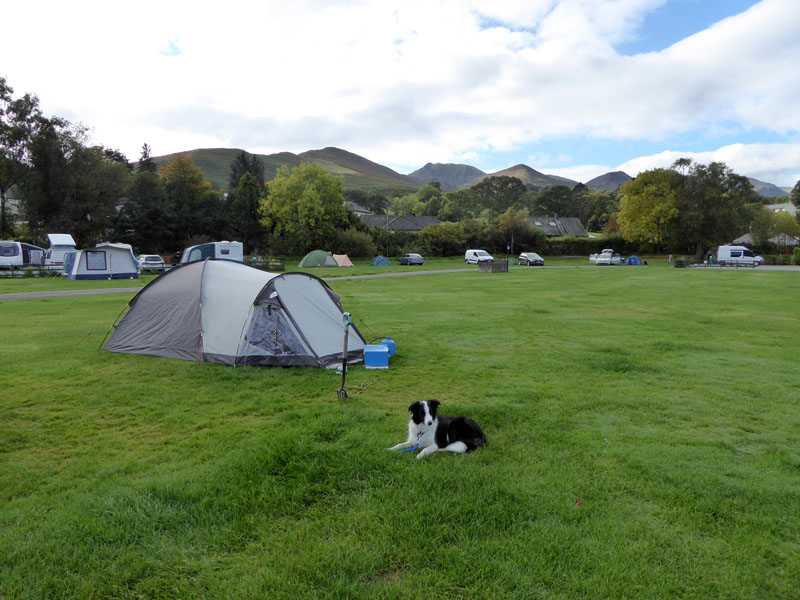
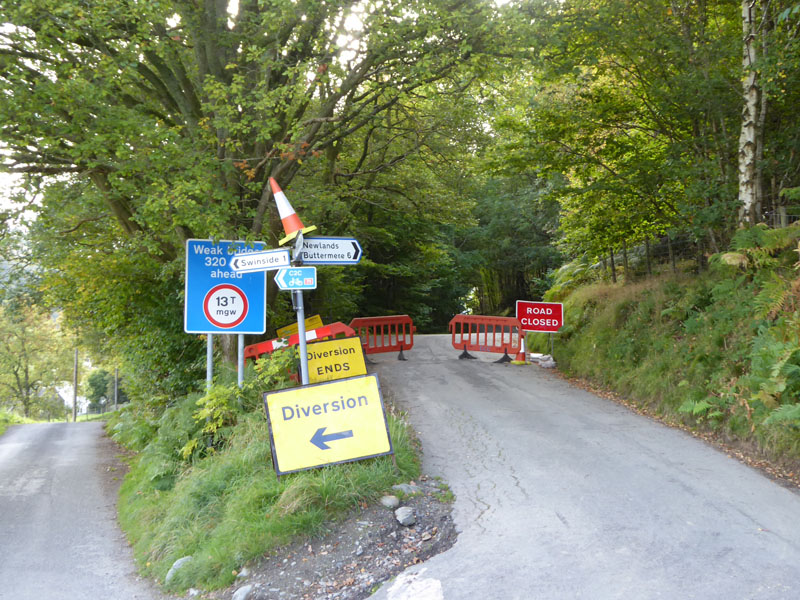
It's tent time at Scotgate, but this is the last time this year that we will be camping and the last time you will see the garden fork until next Spring. I have a separate website with photos of all my garden tools, seen in the various borders and seasons - link at the foot of the page. The road to Newlands is closed and the situation is well signed. Why do students put traffic cones on the top of things? Why do cyclists ignore "road closed" signs?
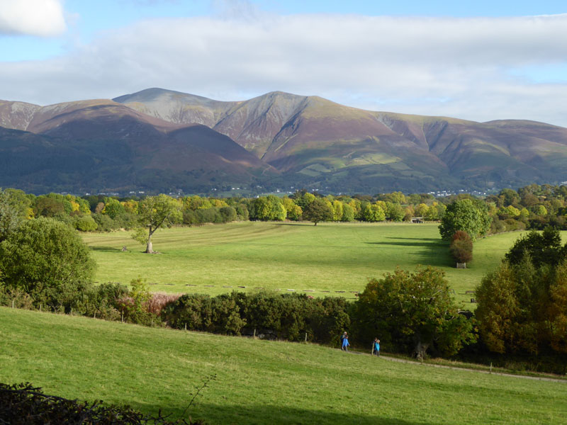
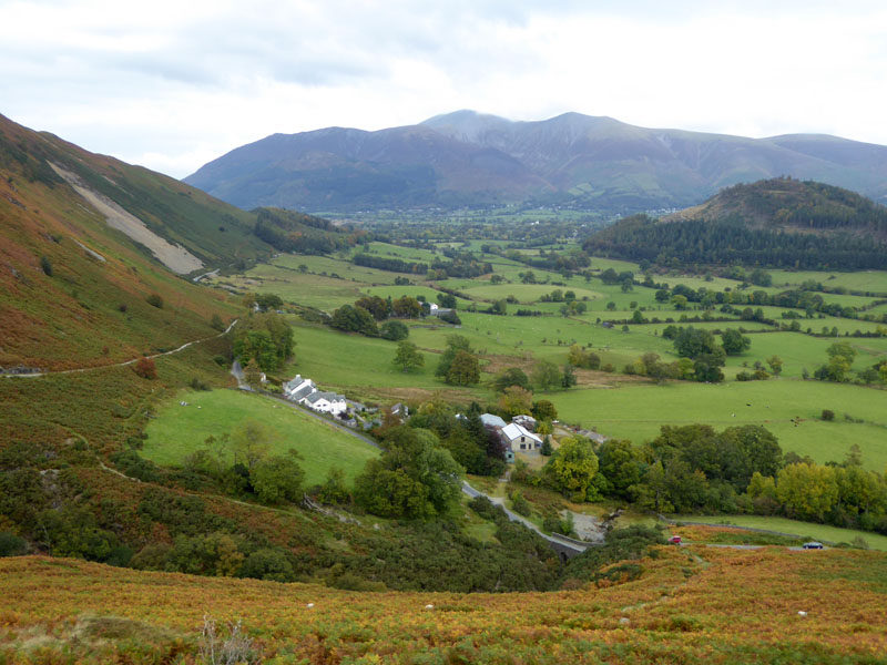
Skiddaw
Our walk is aiming for the foot of Rowling End, a fine prominence in front of Causey Pike. In the centre of the mountain opposite is Skiddaw Little Man (Skiddaw itself, higher and to the left). Note the spurs and gullies, very similar to the ridges of Blencathra. We did not walk the fields route, like the walkers in the photo, due to the experience of seeing cows in the fields on an earlier occasion.
 |
 |
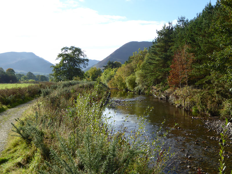
Newlands Beck
Forward (left) and looking back. The river level is low after weeks of drier than usual weather.
 |
 |
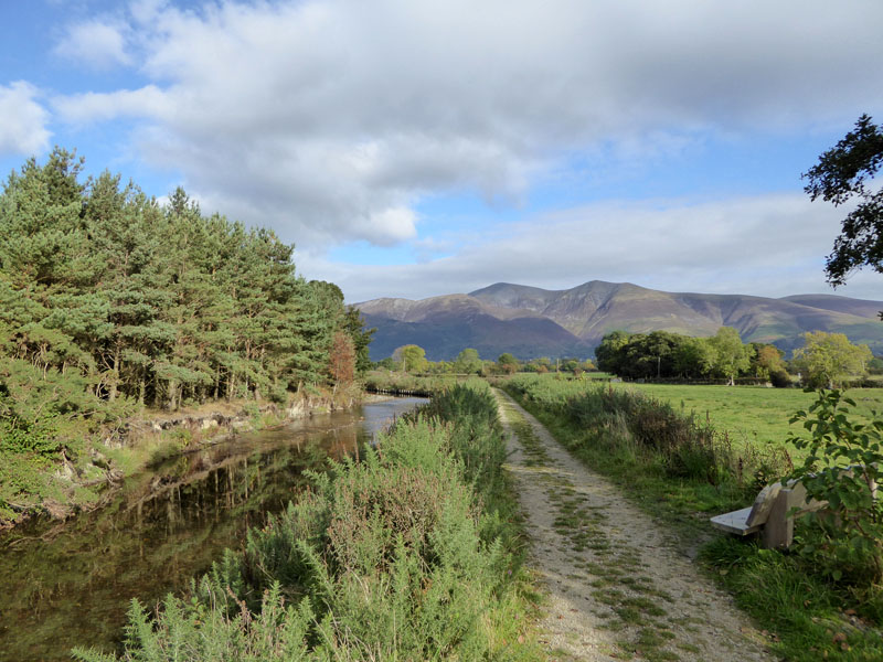
To Uzzicar |
Stoneycroft Bridge |
A neat fenced path takes walkers to Uzzicar Farm with the slopes of Barrow in full view. Soon, we reach Stoneycroft Bridge and time for a little water fun before we embark on an extended ridge walk with no streams or freshly-filled puddles.
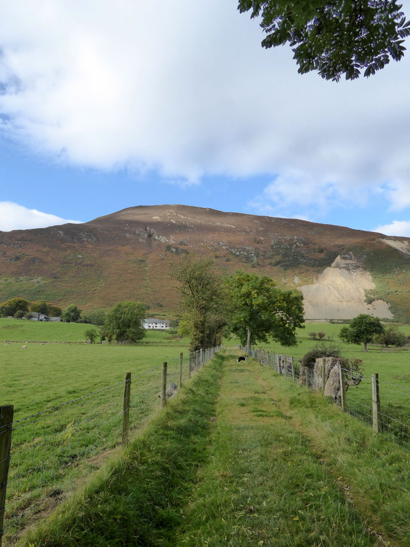
Stoneycroft
The hike up Rowling End is quite steep and probably more often used as a rapid descent than a slow ascent, about 950ft of climbing.

Sleet Hause
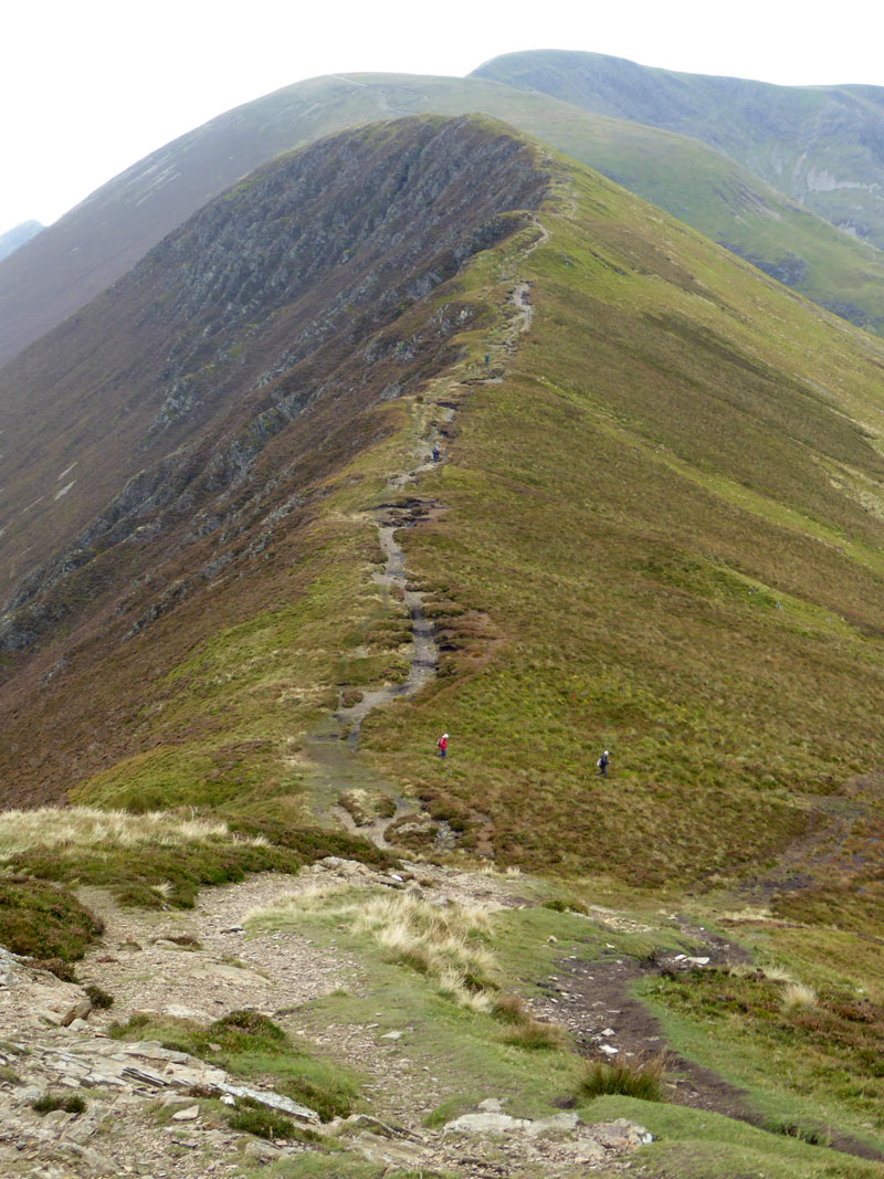
The level bit is called Sleet Hause. The plan is to visit six summits today and unusually for a linear walk, all six can be seen from here:
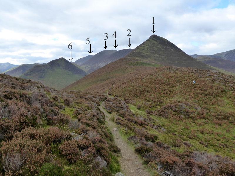
The Six Summits
(1) Causey Pike, (2) Scar Crags, (3) Sail, (4) Eel Crag, (5) Wandope & (6) Whiteless Pike.
 |
 |
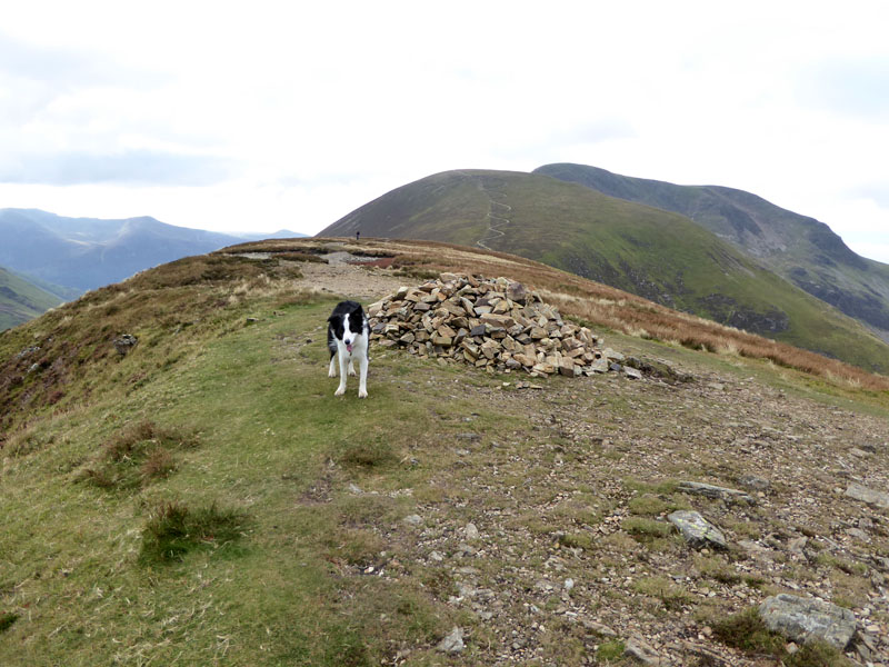
Molly on top of Causey Pike |
To Scar Crags |
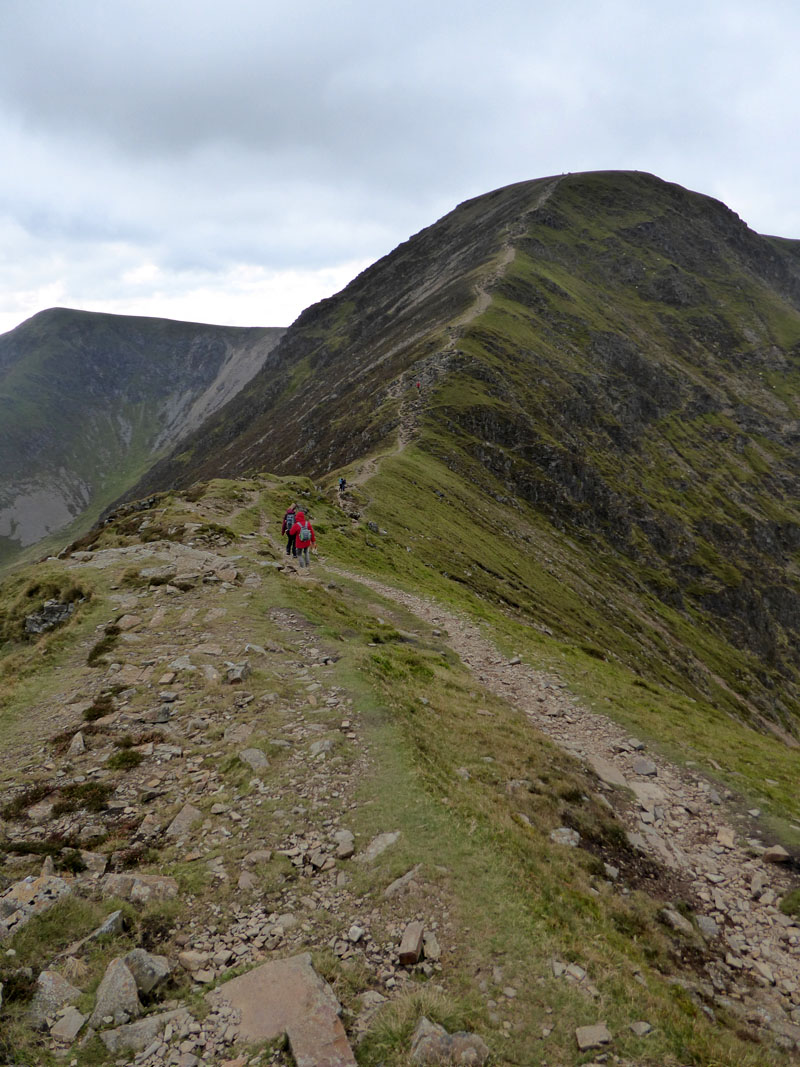
Wainwright describes the route from Causey Pike to Whiteless Pike as "magnificent". Unfortunately someone has taken the shine out of the sun, but dry will do and it's not cold ... yet.
Scar Crags
The ridge walk continues along Scar Crags with its rough southern flank and smooth northern slopes.
 |
 |
Molly on top of Scar Crags, 2,205ft asl |
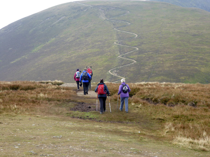
The Zig-Zags of Sail |
The 500ft of ascent to Sail used to cover 3/4 of a mile according to my guidebook. Now it must be nearer a mile!
Sail Summit 2,530ft asl
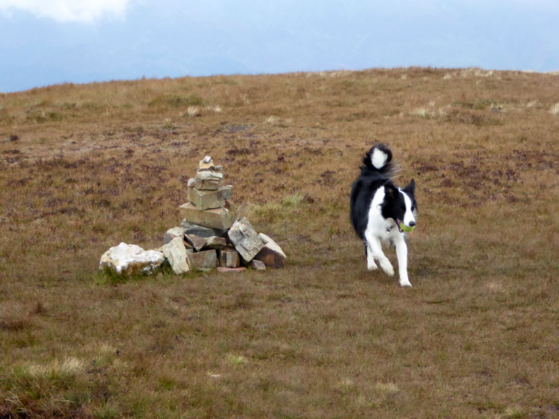
Sadly, this is the last time you will see this particular tennis ball. Molly chucked it off the fell on the way to Eel Crag and it went off at some pace into the valley of Sail Beck. A short search was in vain. Extra layers now as the wind picks up and temperature drops.
To Eel Crag
And so this extended ridge walk continues with 320ft of ascent to the flat top of Eel Crag.
Eel Crag Summit 2,749ft asl
A forlorn and broken trig point offers a sad reminder of a better day in February 2010:
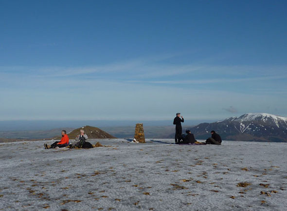
Could the fell fixers or trig enthusiasts repair this mini-monument with the fantastic views? A couple of stone seats would also be useful and maybe a mobile phone charging point.
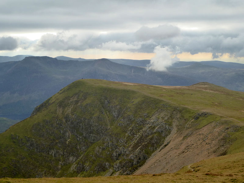
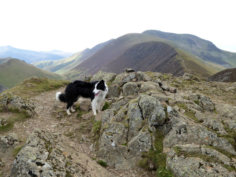
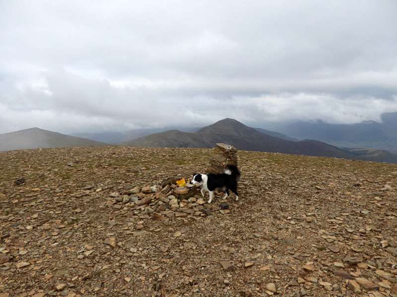
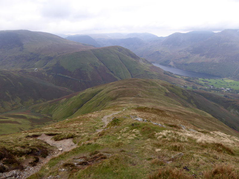
Wandope
The next fell top belongs to Wandope, which is a curious name. Even Wandope Fell would sound better. It's not far away and the 120ft of ascent is hardly enough to claim another "mountain climbed", but some will do just that. For me, it's another summit visited, nothing more.
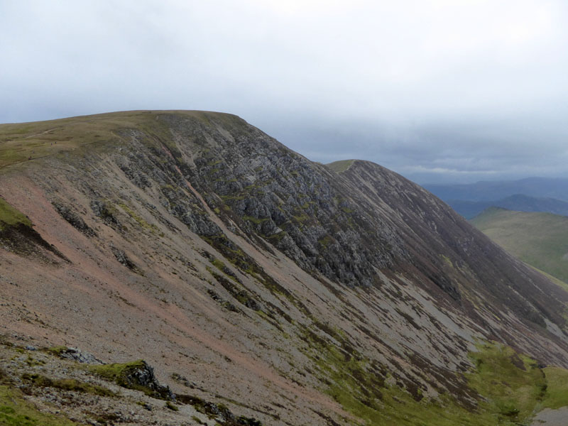
Eel Crag South Face
Eel Crag's steepest side, the craggy southern slope where man (and lady for that matter) rarely, if ever, sets foot.
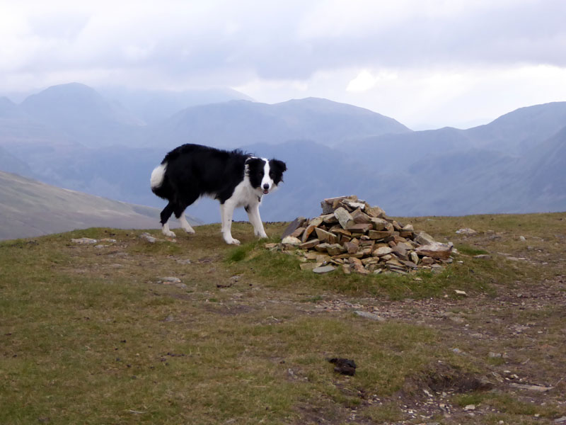
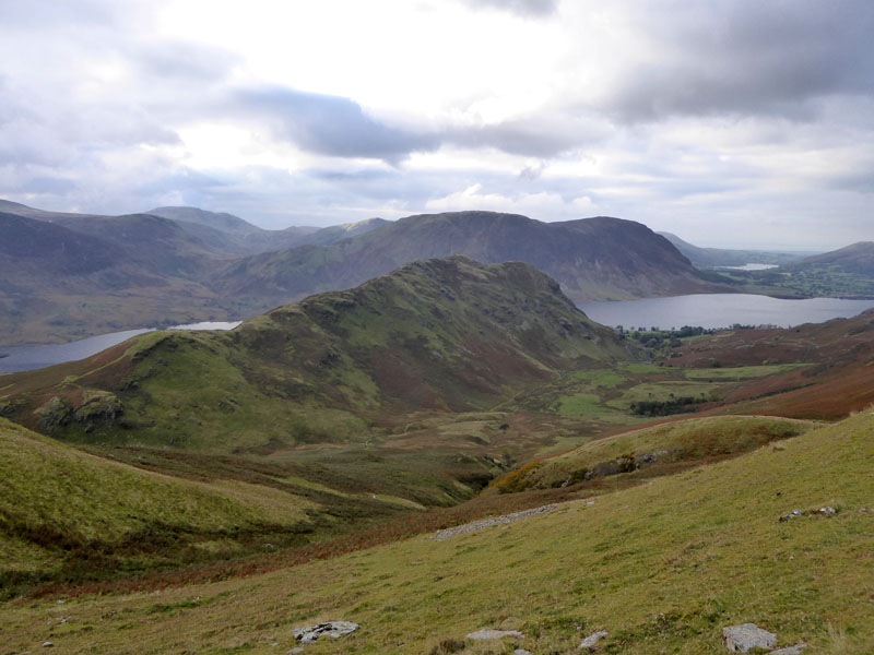
Wandope Summit 2,533ft asl
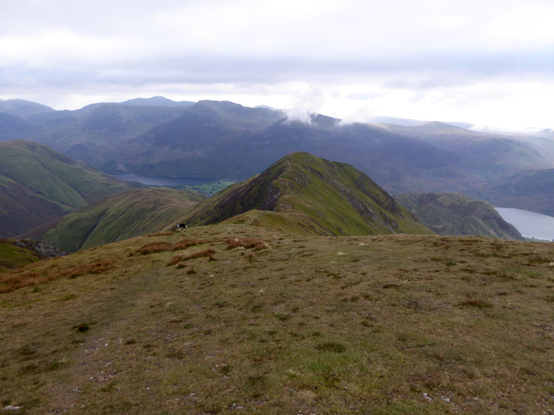
Whiteless Pike from Wandope
Now, the plan has always been to catch the bus back from Buttermere to Braithwaite - The Honister Rambler. I have memorised the last bus time and we are comfortably on schedule. And if it doesn't turn up, we will walk back along Sail Beck - that'll occupy a good chunk of the evening and I have a torch with me.
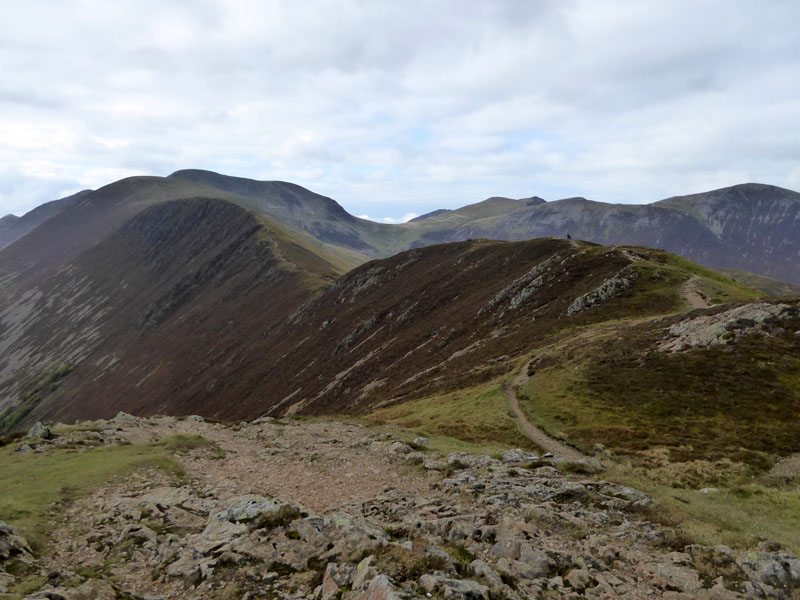
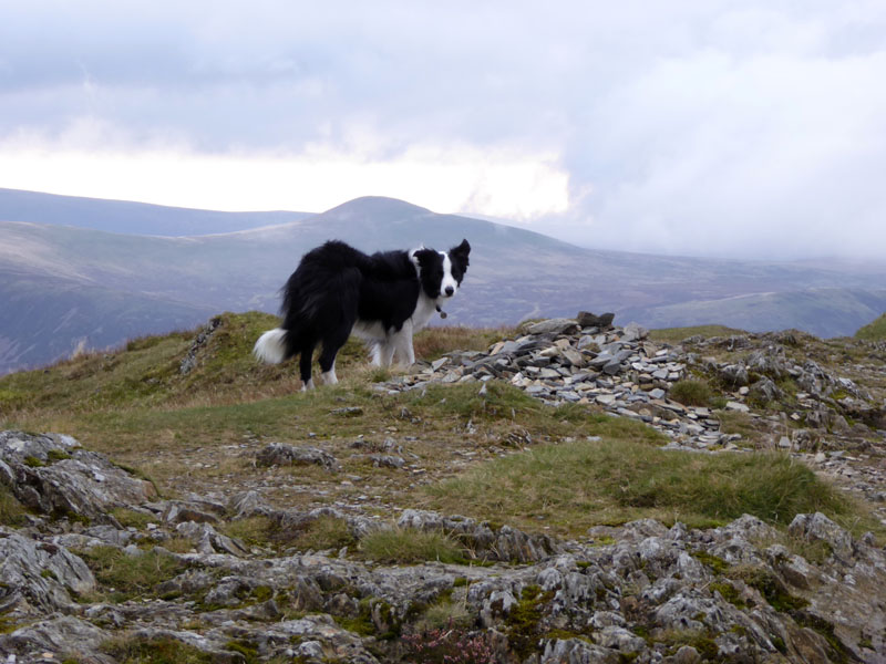
Whiteless Pike
The summits of the ridge walk will terminate with Whiteless Pike - dead ahead.
 |
 |
Whiteless Pike Summit 2,159ft asl |
Whiteless Breast |
1800ft of descent to Buttermere lies ahead. Molly found a golf ball halfway down, so ball play could recommence. High Snockrigg features strongly in the view down the hill, it puzzles followers of Wainwright as to how certain fells escaped his pen and ink. But that's what makes the books even more appealing - it seems that all other "lists" are based on scientific criteria, not personal opinion.
Rannerdale Knotts
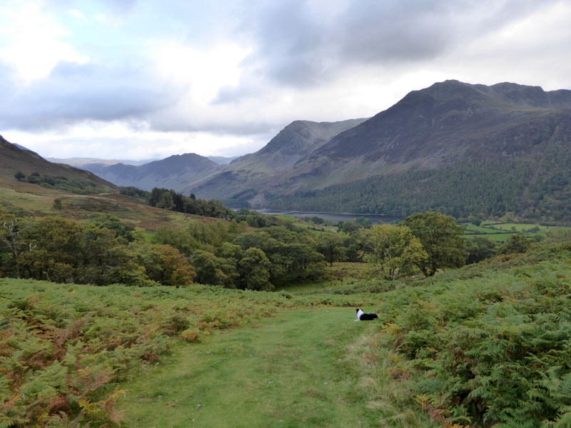
Nearly There
High Snockrigg
And so the sun comes out as we enter the village of Buttermere. Well, I got the bus times wrong and watched the right bus leave as I thought it was the wrong one. Then when the wrong one came along and I asked for a fare to Braithwaite, the driver laughed at me! Not just because I was a rare fare-paying customer but mainly because the next bus in that direction would be on Monday. So we took the bus in the wrong direction and got off at Swinside for a shortish walk back to Braithwaite - £5.60.
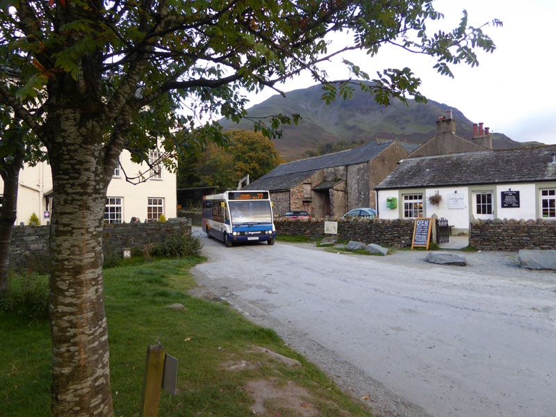
The Honister Rambler
Walkers: Molly The Dog and Me.
Weather: Started bright with sunny intervals, then clouded over and was a tad gloomy and cool.
Time Taken: 5 hours and 15 minutes over a distance of about 8.5 miles.
Route: Scotgate Campsite, road to Little Braithwaite Bridge, river and path to Uzzicar Farm. Stoneycroft Bridge, Rowling End, Causey Pike, Scar Crags, Sail, Eel Crag, Wandope, Whiteless Pike, Whiteless Breast, Buttermere. No.77/77A service to Swinside and a walk back to Braithwaite.
Refreshments: Taken later in the evening back at The Bridge Hotel, Buttermere. They welcome dogs in part of the bar and it was very busy, leading to quite a wait for food. But that allowed for conviviality with other walkers. One benefit of not having a "smart" phone is that you find it easier to lift your head and engage other people in the same room as you, rather than those many miles away.
Another Braithwaite to Buttermere walk
My Garden Tools Website
All photos copyright Richard Ratcliffe 2015 ©
Take me back to the start ....