
~Yarlside~
5th August 2018
Mountain View (farm, disused)
 |
 |
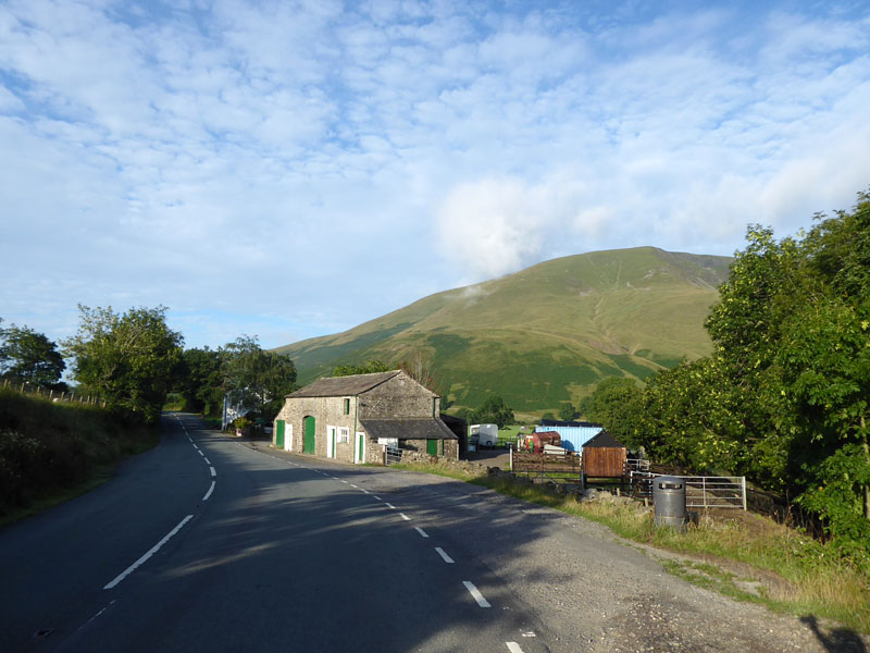
Just like yesterday, today's walk started from the limited parking spaces just north of The Cross Keys Pub on the A683 road between Sedbergh and Kirkby Stephen. No issues with low cloud today and therefore I was first to park at 07:30hrs. I'm using Wainwright's "Walks on the Howgill Fells" as a guide and whilst they are not written in anywhere near as much detail as the Lakeland Fells series, they are still very useful.
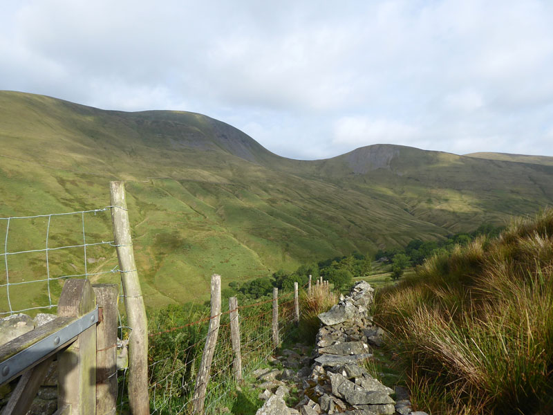
Backside Beck
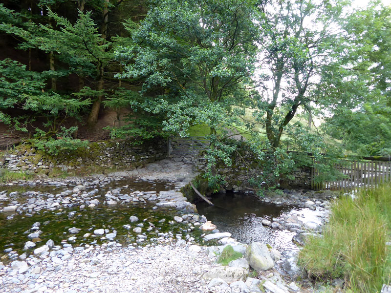
This walk turns right after the bridge over the River Rawthey and follows a bridleway to Backside Beck where the water can be forded. The map suggests a footbridge further down stream, but I followed the obvious track and found this crossing.
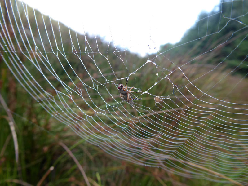
Caught!
Lots of spiders' webs in the long grass and reeds. They have attracted the early morning dew and one fly is making strenuous efforts to escape, without any joy. Eventual outcome: unknown.

~~~
Looking back from the climb up to Narthwaite and you can see the line of the bridleway above the bracken on the far side.
Narthwaite
Westerdale
There is a farm track lower down the fellside which maybe walkers can take, but here we are on the bridleway above the plantation in Westerdale and aiming for the head of the valley.
Looking Back
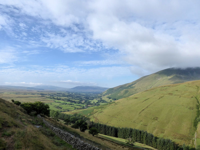
The green tree-lined fields belong to the River Rawthey and the aforested beck is Westerdale.
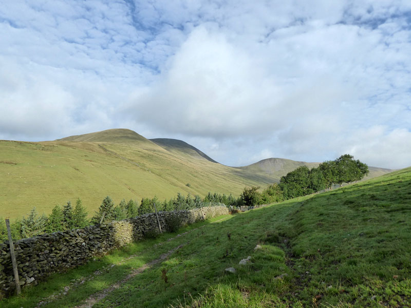
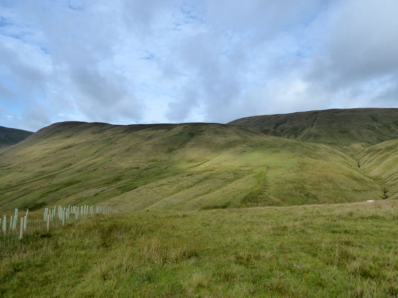
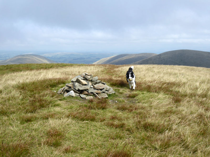
Today's Targets
are Kensgriff (right) and Yarlside (left), we are promised "an easy but tedious climb" up the former which will come after we reach the head of this valley.
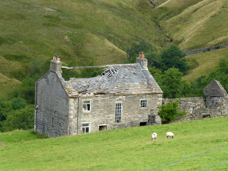
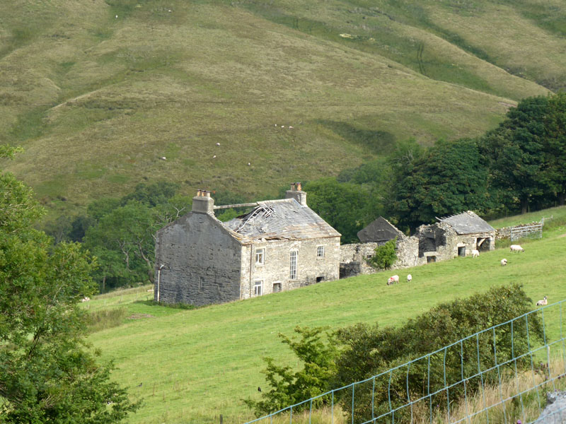
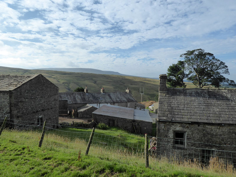
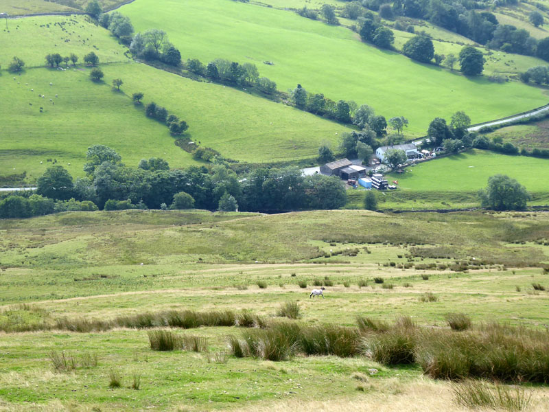
Mountain View (farm)
Such was unoccupied back in 1972 when the guidebook was published and now 46 years later is falling into disrepair. It's just waiting for some brave and maybe deep-pocketed developer to regenerate the site and bring it back to life.
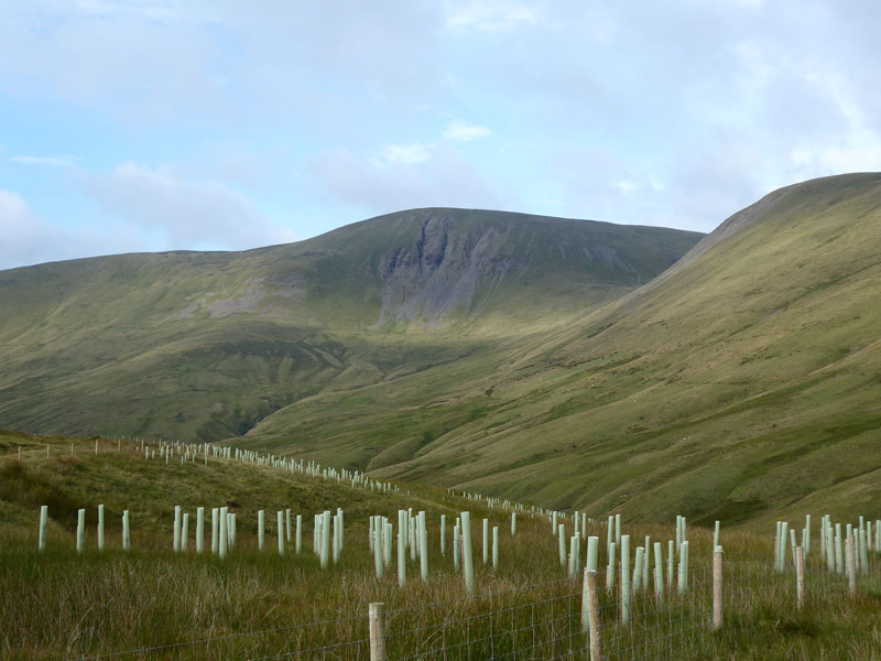
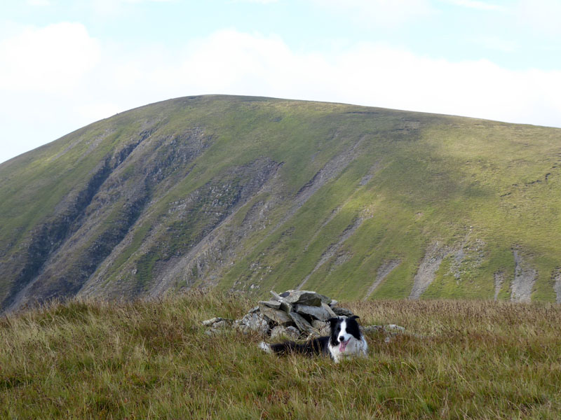
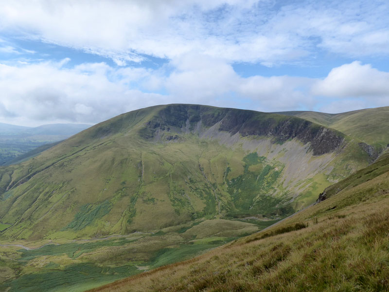
Yarlside
They have plonked a load of plastic tubes in the ground maybe some kind of art installation...worthy of the Turner Prize, perhaps?
Kensgriff
That is the pathless slope of great tedium and maybe not so "easy". Really a bit of a slog through soft and long grass. However, a large brown animal was disturbed by Molly and scarpered with great haste. I could not get the camera ready in time; it was possibly a fox but my first impression wasn't such. There were several sheep carcasses on this walk in various states of decay. Might just have been a large cat, but odds are it was a fox but I just didn't get a good enough look at it.
Molly on top of Kensgriff 1,883ft asl
In Wainwirght's guidebook, a height of 1,790ft is offered but everywhere else seems to go for the higher figure; I'm not to a foot or two but this is quite a discrepency and you wouldn't expect it to be AW's error, would you? Maybe there has been some uplift in the land....
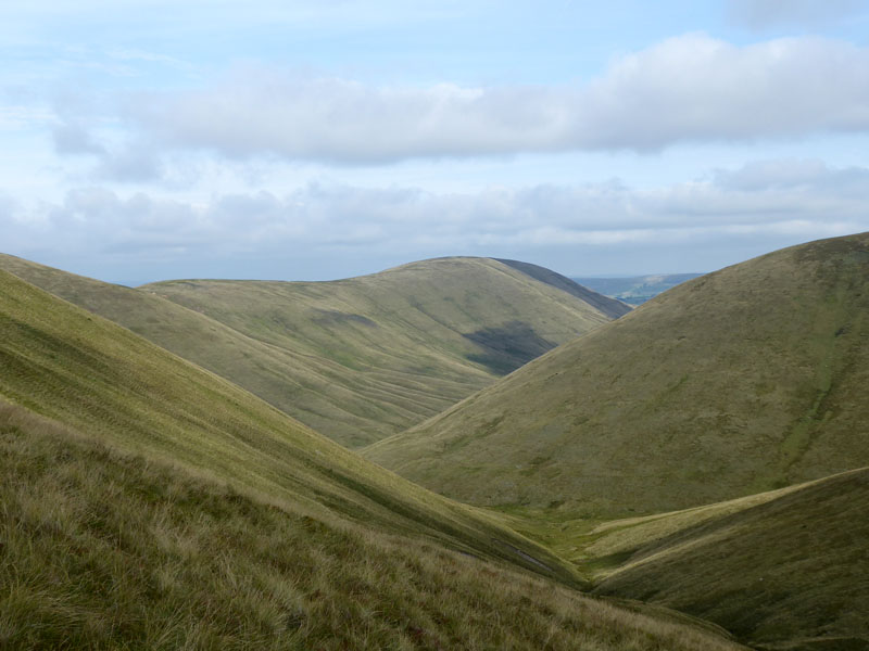
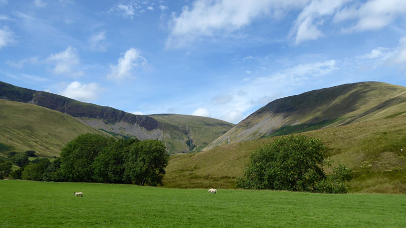
Bowderdale
A sneaky peak down the upper reaches of Bowderdale which extends for some way in a northerly direction. The ascent of Yarlside is very steep, you can avoid the worst of the steepness if you head off right and join the ridge, but Molly and I don't do things like that, so it's pretty much straight up for us - about 500ft of ascent.
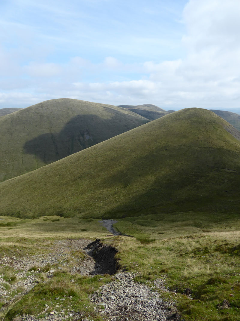
Kensgriff
Looking back down the steep ascent route.
Molly on top of Yarlside 2,097ft asl
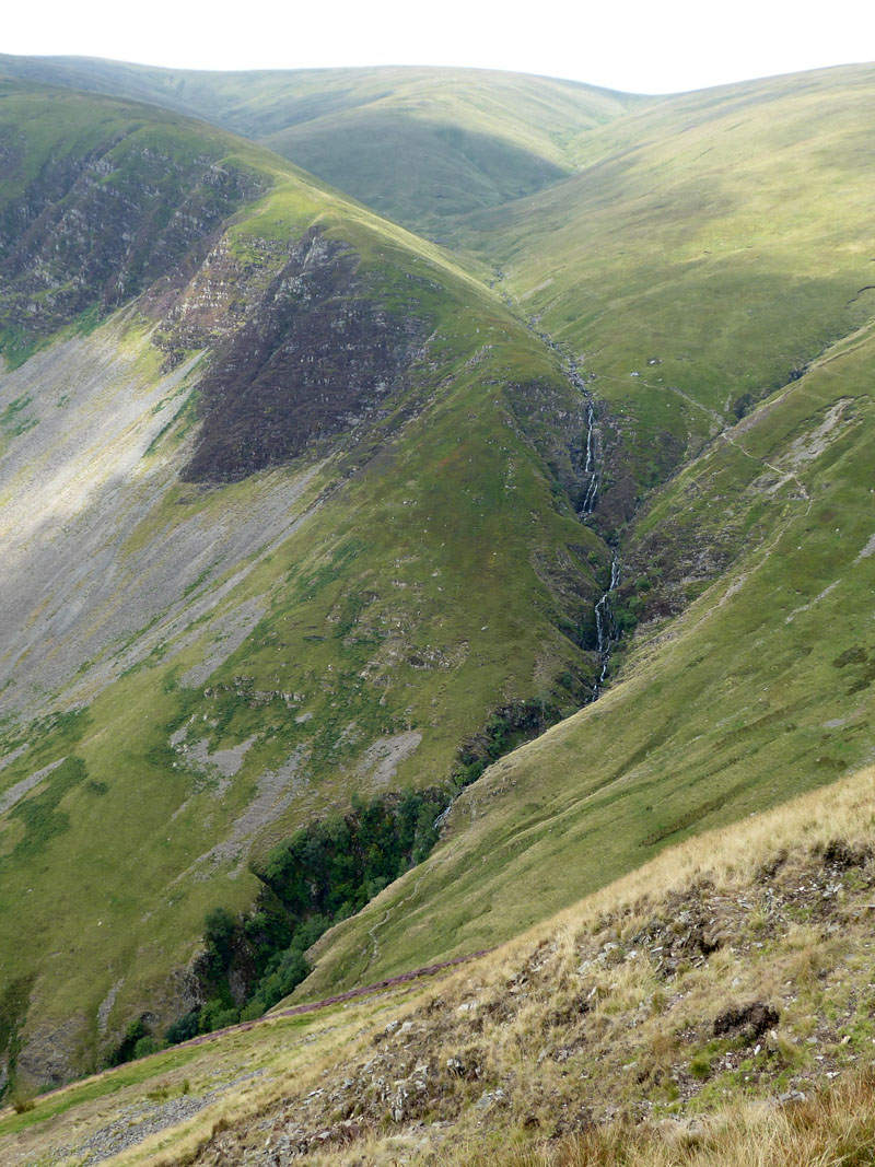
Cautley Spout
We wandered off the path to gain a good view of Cautley Spout and then contoured round to rejoin the main route up/down Yarlside.
Cautley Crag
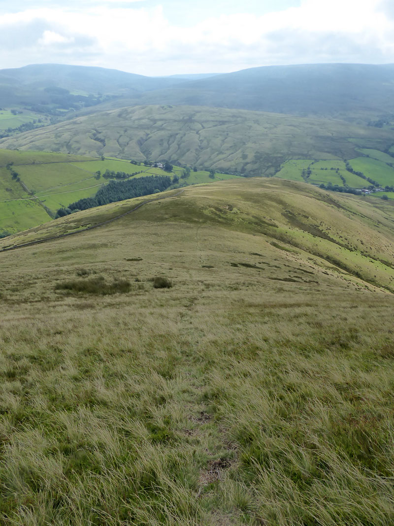
Descent Route
It's a direct and decent descent down to Ben End for the final trot back to the Cross Keys.
 |
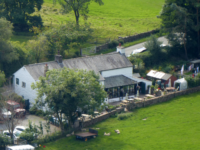 |
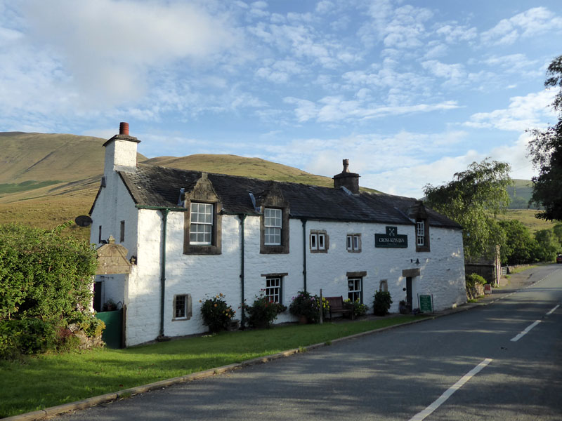
Two views of The Cross Keys.
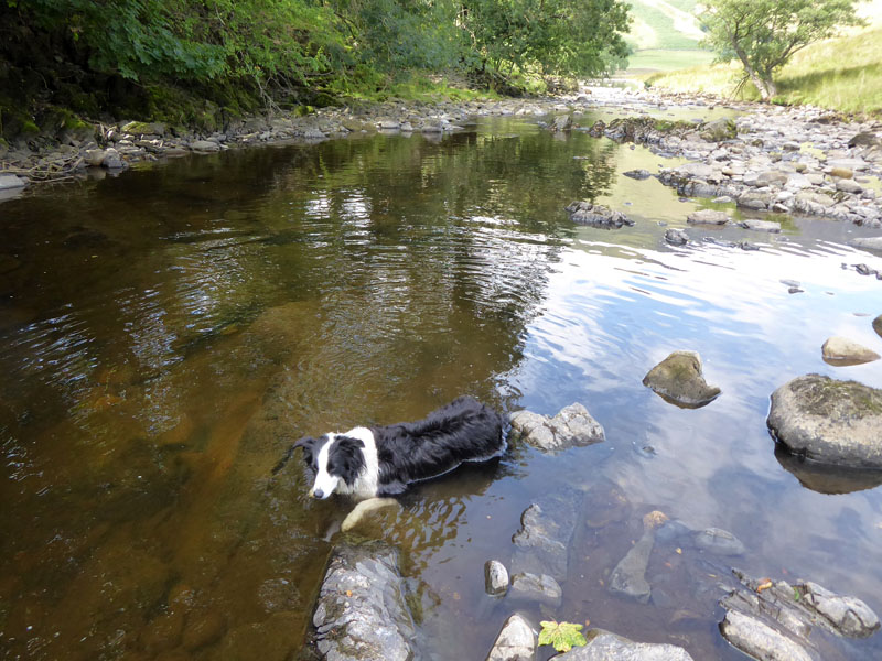
Molly in the River Rawthey
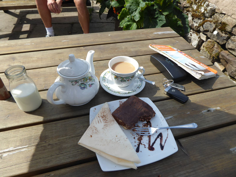
Tea n' Tiffin
A great pot of tea and some tasty tiffin to round off a fine walk. The legs belong to a cyclist I was taking to, he was on a typically long ride around the valleys.
The View
Here's the view from the outdoor seating at The Cross Keys. Tea, tiffin and the view, all for £4!
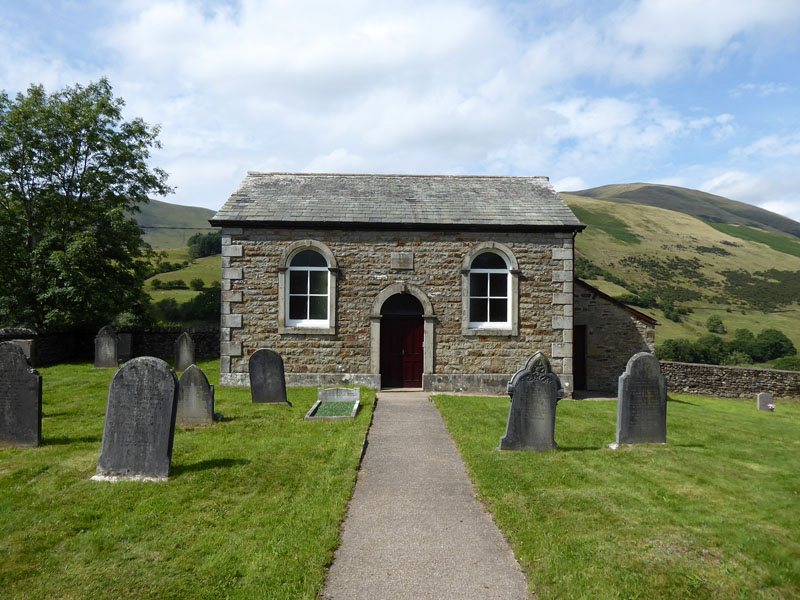
Cautley Methodist Chapel
The directions for the campsite stated that if you reached the methodist chapel, you had gone to far. Most road users will speed past here and not even notice the chapel, I stopped for a closer look. The chapel, built in 1845, is so simply designed and beautifully uncomplicated inside. You should try the door, like I did, and have a minute or two inside, you don't have to be religious to appreciate this little space.
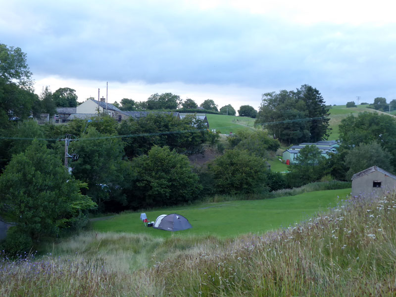
Cross Hall Farm Caravan Site
A small and quiet site off the main road and so far away from the crowds. A few other tents were higher up the fields and I get the impression the owners are a litte selective as to who they allow on. If you like eggs, they sell their fresh ones, but other than that supplies will be from Sedbergh.
Walkers: Molly and Me
Time taken: 4hrs 10mins over a distance of about 5 miles.
Route: Cross Keys, Backside Beck, Narthwaite, head of Westerdale, Kensgriff, col, Yarlside, Ben End, Cross Keys.
Weather and conditions: Mainly sunny and warm.
Refreshments: No dogs allowed inside The Cross Keys, but many tables on a great terrace with a fine view. A good choice of food on the menu available at 11:30hrs.
All photos copyright Richard Ratcliffe 2018 ©
Take me back to the start ....