~Scafell Pike etc.~
28th April 2012
Nice day, big mountains.
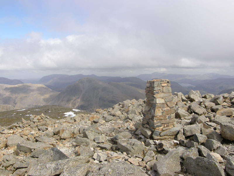
The Trig
Scroll down for photos and a description of the walk....
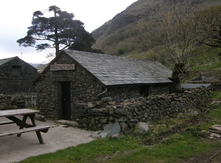
Jake's Snack Shack at Seathwaite
Parking at Seathwaite, the walk started at 07:50hrs. Near the farm is the above. It would be interesting if anyone finds it open, perhaps they can report on what's on offer.
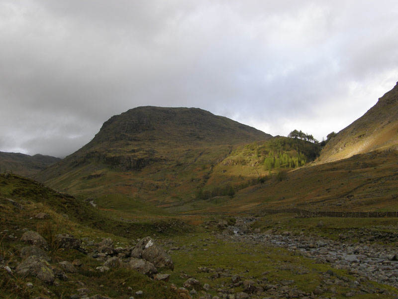
Seathwaite Fell
The weatherfolk say that it will brighten up as the day progresses. Seathwaite Fell is not on the agenda today.
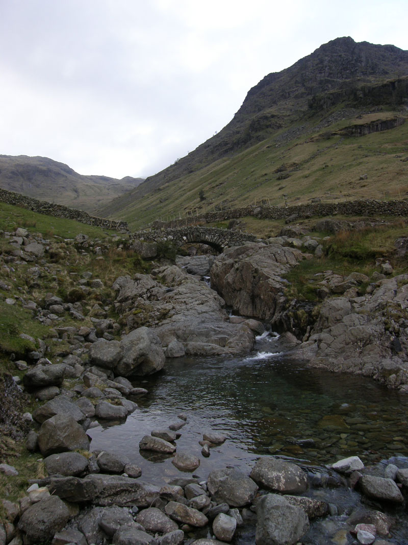
Stockley Bridge
The obligatory Stockley Bridge photograph and the first decision of the day. Styhead Tarn or Grains Gill? Well, today it's Grains Gill for reasons that may become clear later on.
 |
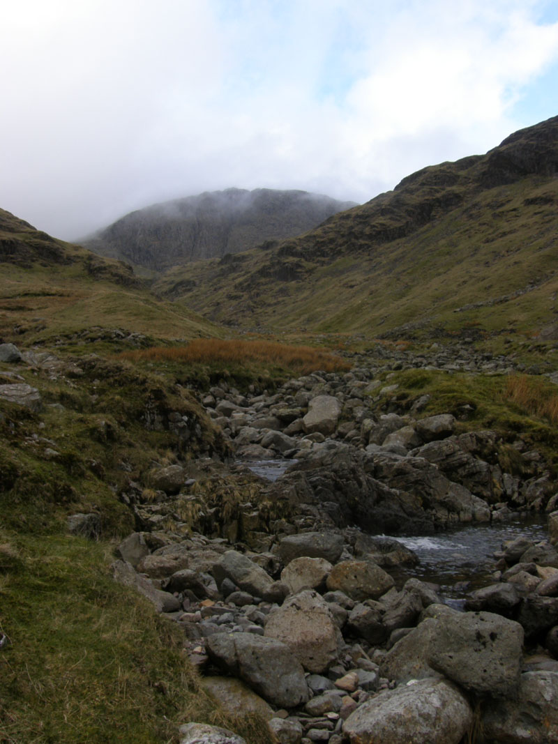 |
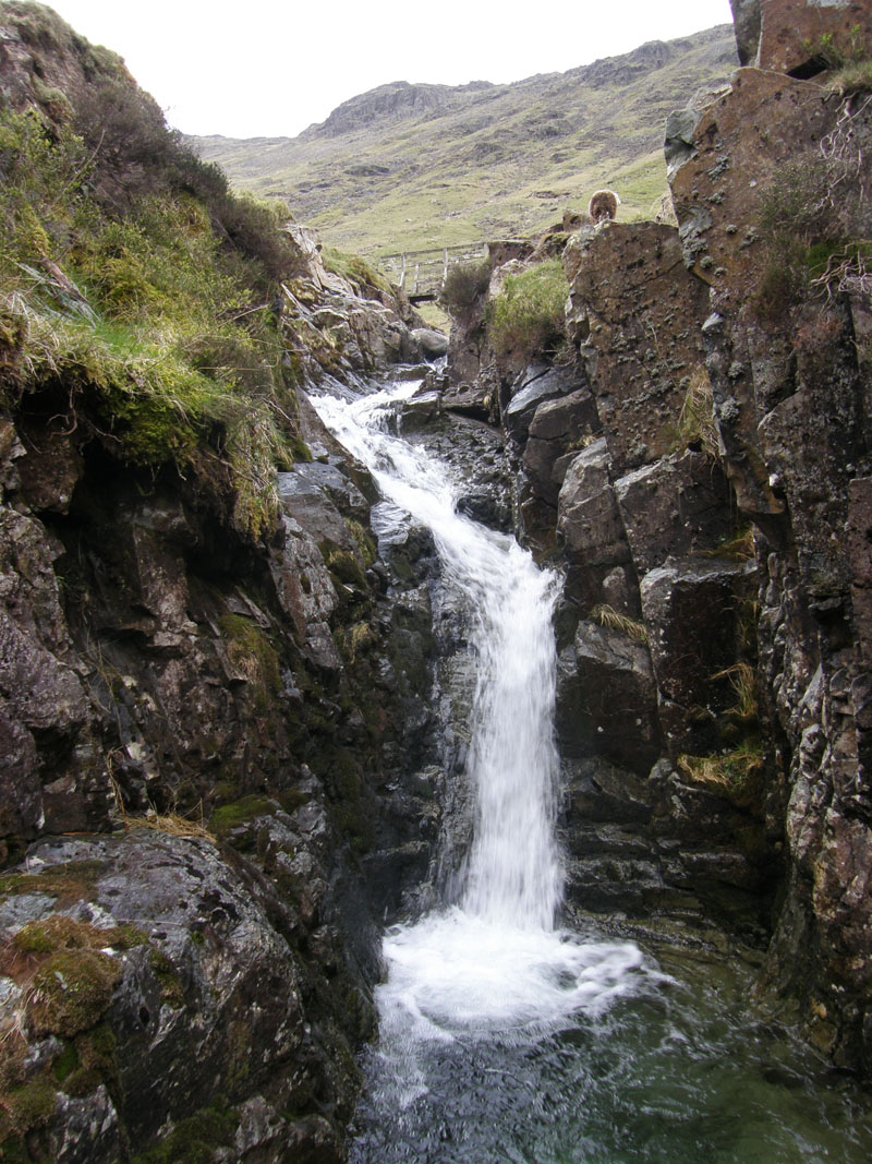
Grains Gill |
Ruddy Gill |
Grains Gill becomes Ruddy Gill after the bridge in the photo on the left. That's OK, the M6 becomes the M74 if you venture far enough north; nice children become grumpy teenagers, change happens.
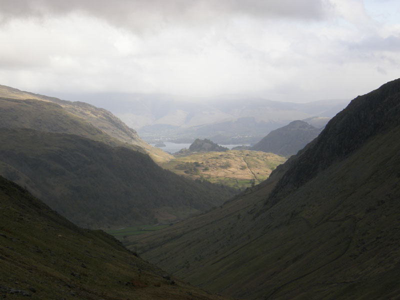
Castle Crag
In this misty view into Borrowdale, Castle Crag is the wooded bump in sunshine.
 |
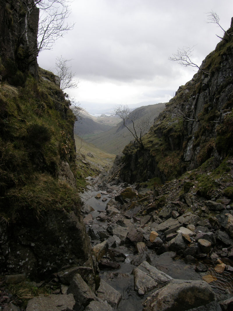 |
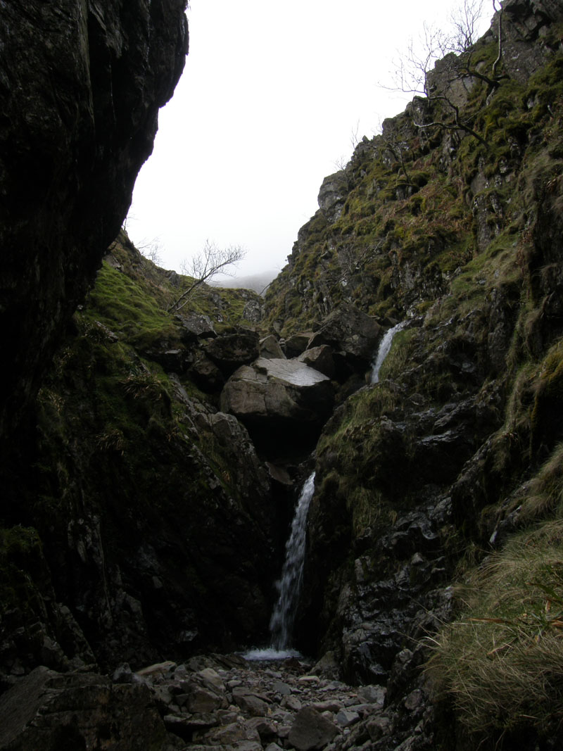
waterfall in Ruddy Gill |
out of Ruddy Gill |
I went into the depths of Ruddy Gill to see if a scramble to the top was possible. The fall on the left was passable, but not knowing what was ahead, I didn't proceed as getting back down would have been tricky.
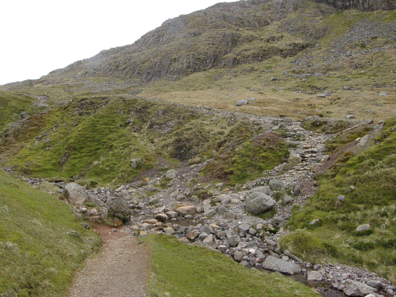
Crossing Ruddy Gill
My route from Stockley Bridge meets the path up from Styhead Tarn and they jointly head for Esk Hause.
 |
 |
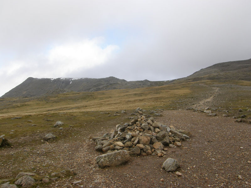
Route to Ill Crag |
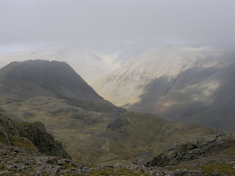
Lingmell |
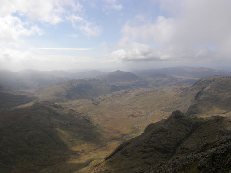 |
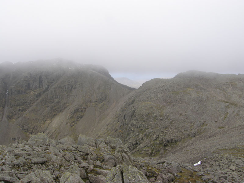 |
Upper Eskdale |
Ill Crag Summit |
Ill Crag
On the way to Scafell Pike, I made a trip to the top of Ill Crag for views of Lingmell, Upper Eskdale and, hopefully, Scafell Pike.
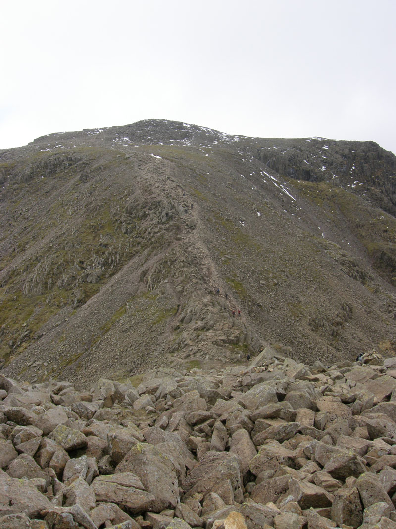
To Scafell Pike Summit
Having negotiated the challenge of the Broad Crag blockfield, the final ascent of Scafell Pike is clear to see. As Wainwright correctly observed of the boulderous terrain, "it is impossible to walk with any semblance of dignity".
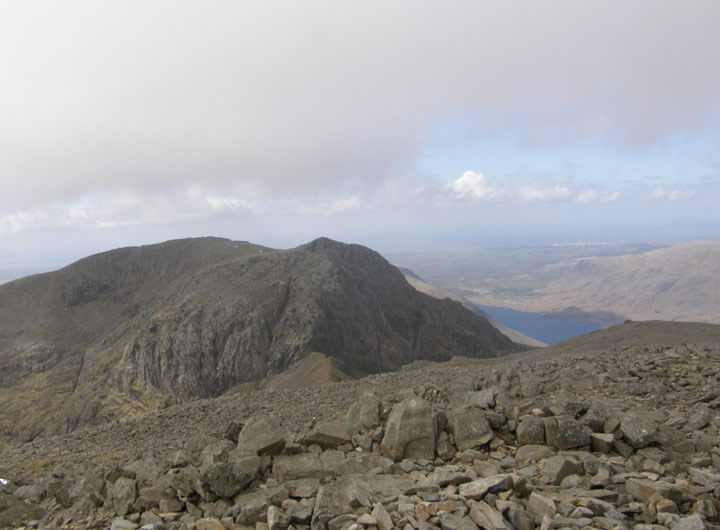
Scafell
Scafell from the summit of Scafell Pike. For a few moments I had the top bit to myself - that has not happened on the last few visits up here. Mark from Hertford joined me, he was taking a look around before bringing his sons on a camping trip later in the year.
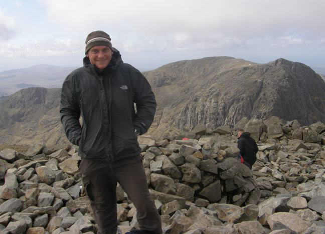
Mark on top of Scafell Pike
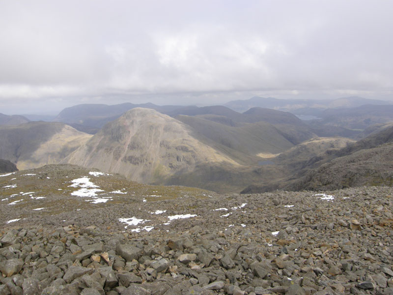
Great Gable from Scafell Pike
Hence the reason for walking up Grains Gill. I wanted to treat my legs to the easiest route up to Scafell Pike (my opinion - from the Borrowdale side), so that I keep my options open, one of which is to climb Great Gable on the return route.

Scafell Pike 3210ft asl
Quieter than usual up here, just after 10:00hrs.
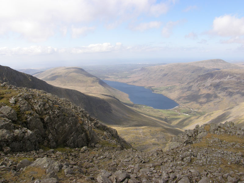
Wastwater
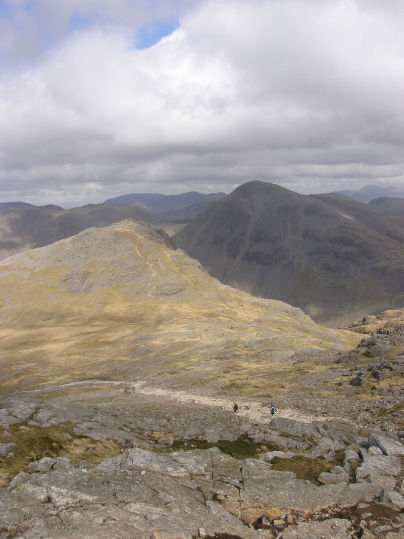 |
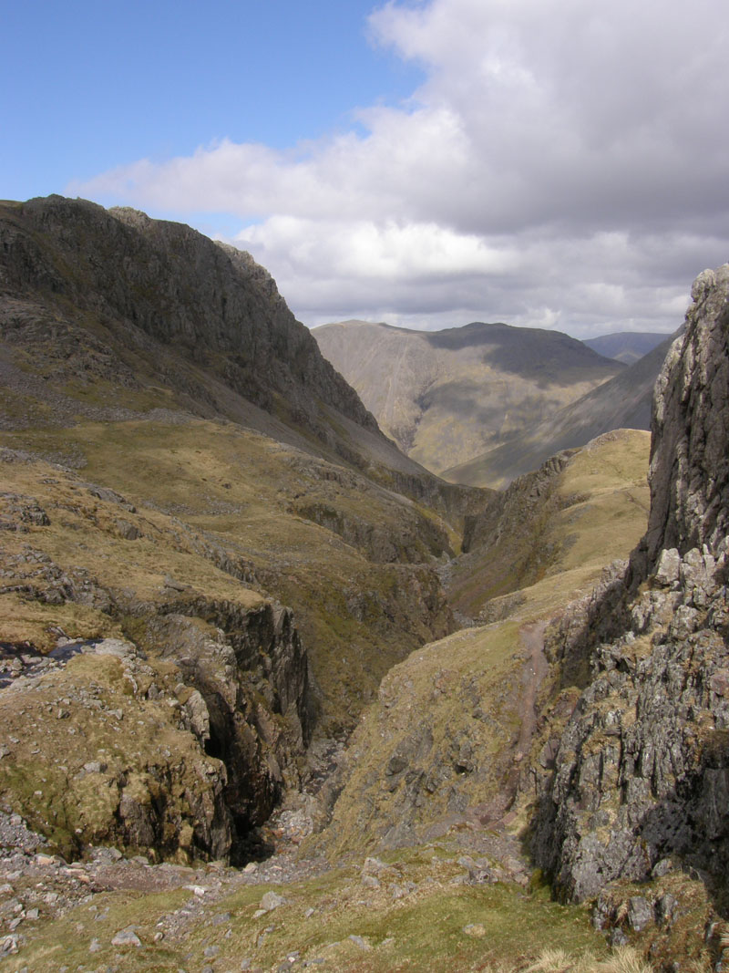 |
Lingmell and Great Gable |
Piers Gill |
Walk Views
Quite breezy up here and so I was hoping to find a sheltered spot somewhere near Styhead Tarn for a lunch stop.
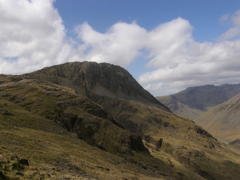
A look back at Lingmell
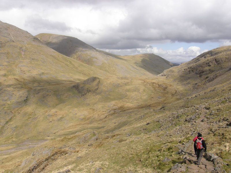
To Styhead
The Corridor Route to Styhead Tarn. I took lunch in the shelter on this side of the rocky crag in the centre of the photo. During the rest, I watched two parties (many good men!) take the lower path on to the old path and thus miss the Corridor Route, as documented by Wainwright in Book Four, SP16.
 |
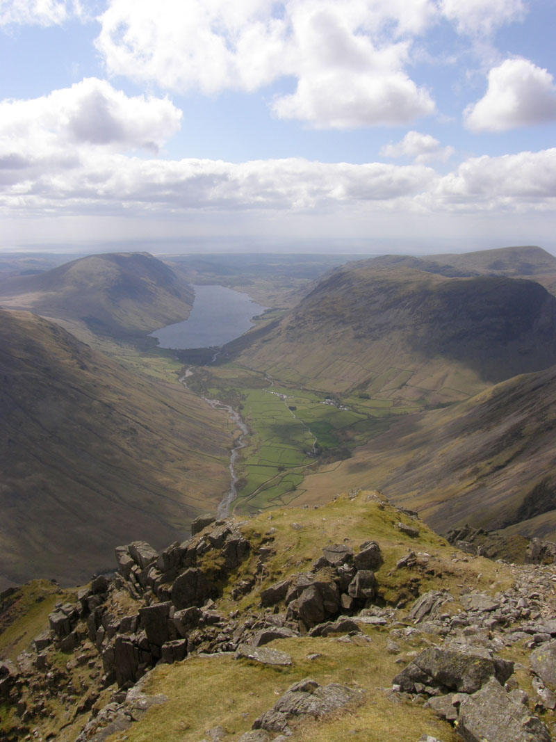 |
Lingmell Beck |
The View |
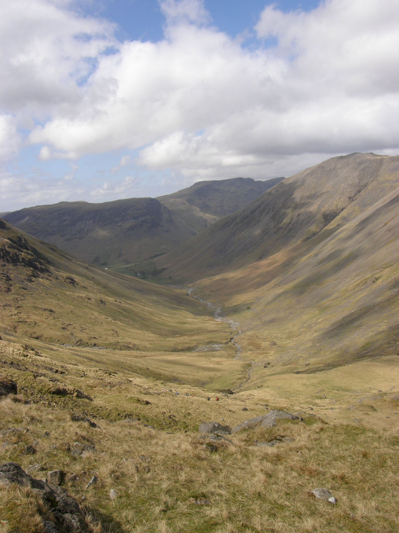
Lingmell Beck
The approx. 1000ft of ascent from The Stretcher Box to Great Gable summit was quite a test after Scafell Pike. Near to the top, I veered off to meet the Westmorland Cairn on the Wastwater side and sat for a few minutes, out of the wind, with the best view in the house!
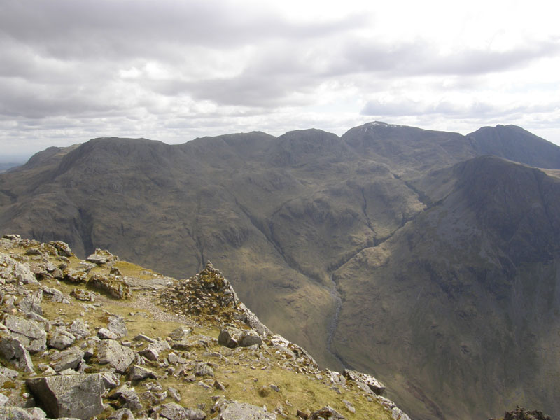
The Westmorland Cairn
With a view to the Scafells.
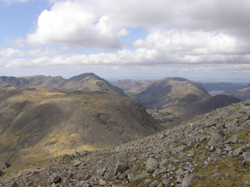
Great Gable View
From the higher ground on Great Gable: Kirk Fell (nearest), Pillar further away and the High Stile ridge over to the right.
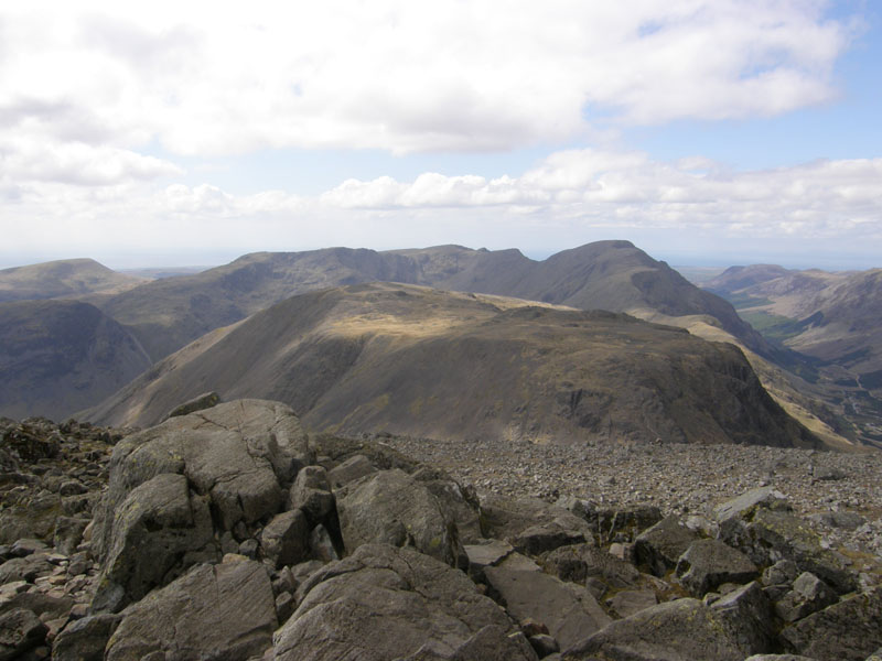
Great Gable Summit 2949ft asl
Where is everyone? I thought I'd got the wrong day, or maybe the wrong mountain. But no, this is Great Gable and there's no reason why one can't visit here on 28th April, or not that I've read about. Soon enough folk began to appear and normal service was restored.
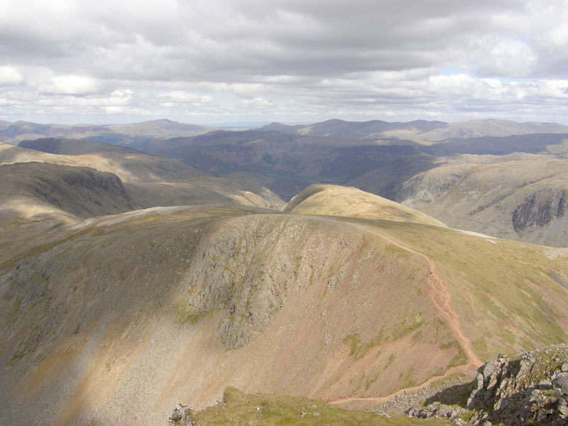
Green Gable
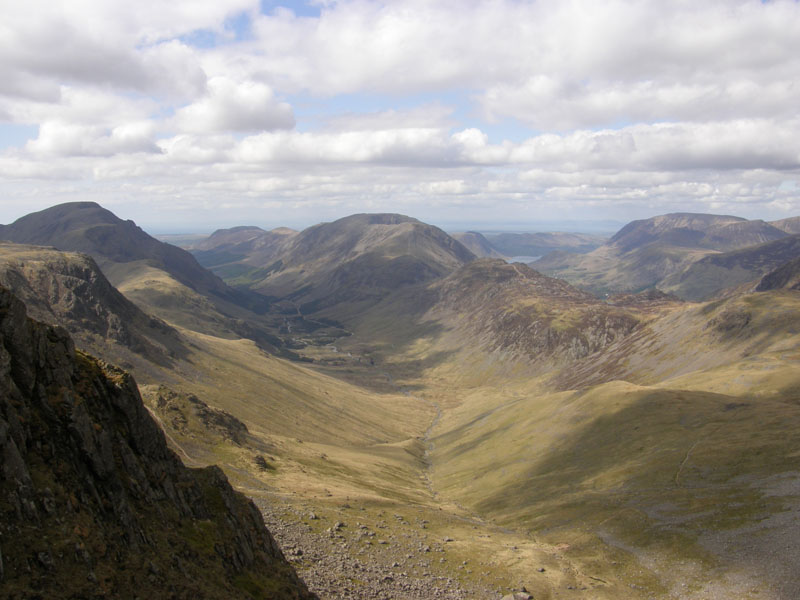
Ennerdale
 |
 |
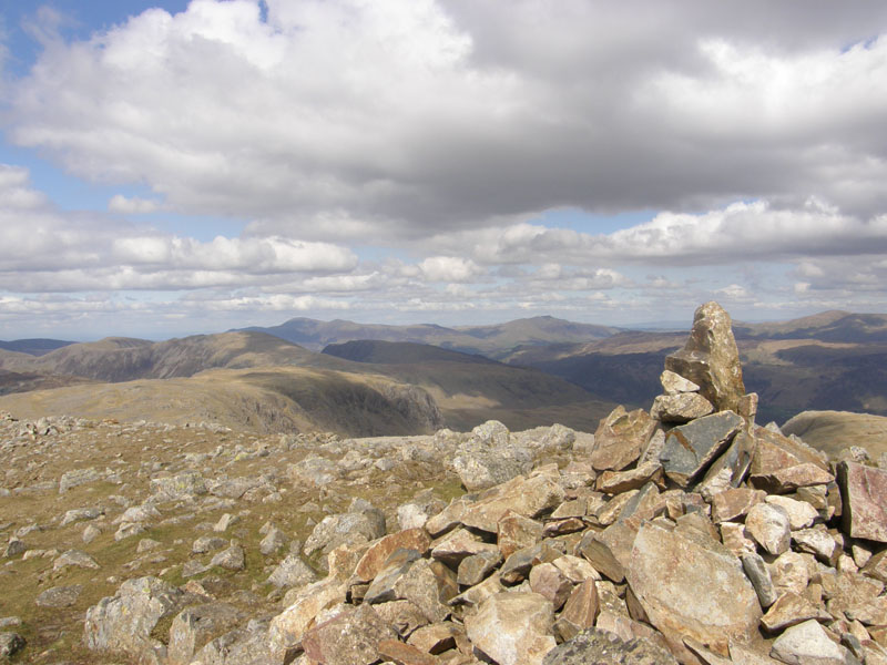
Green Gable Summit 2603ft asl |
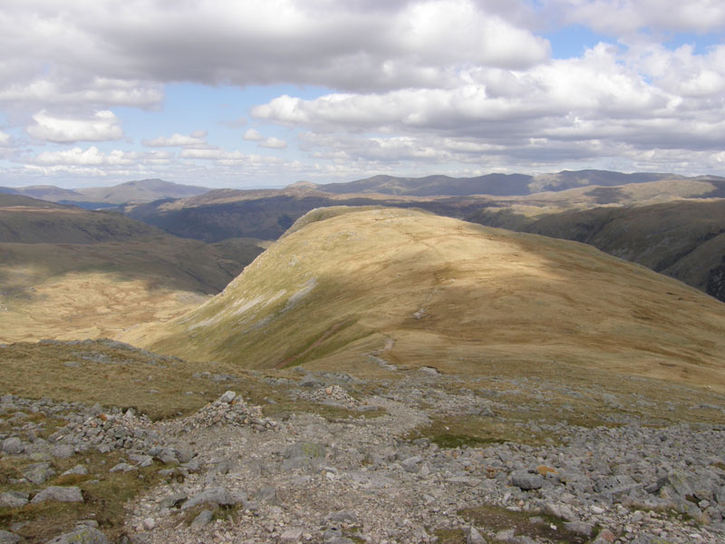
To Base Brown |
Green Gable to Base Brown
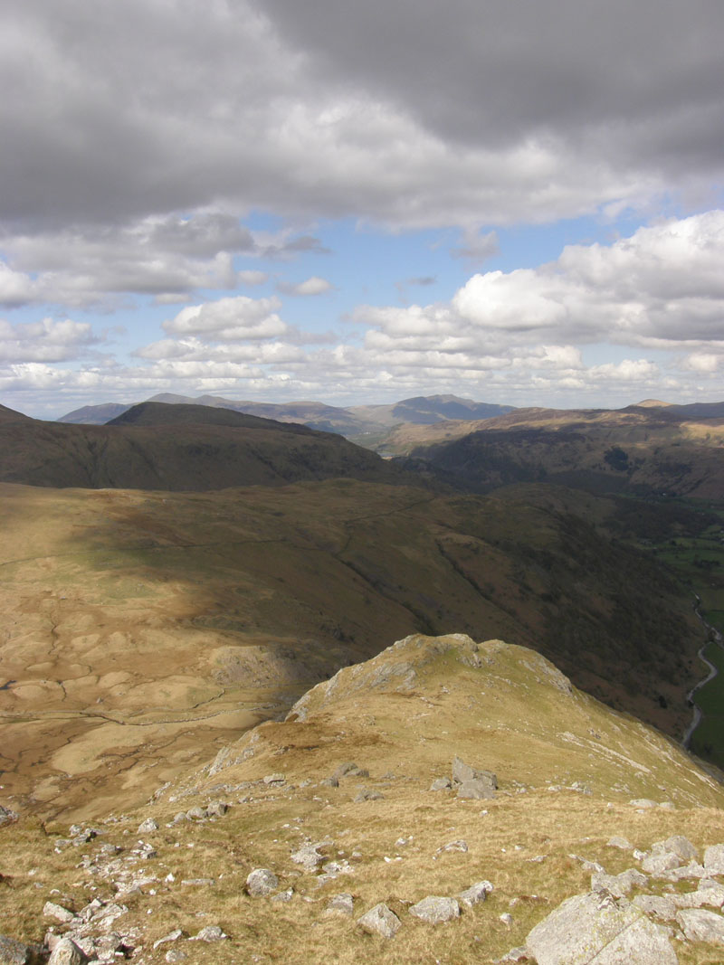
Looking down Base Brown
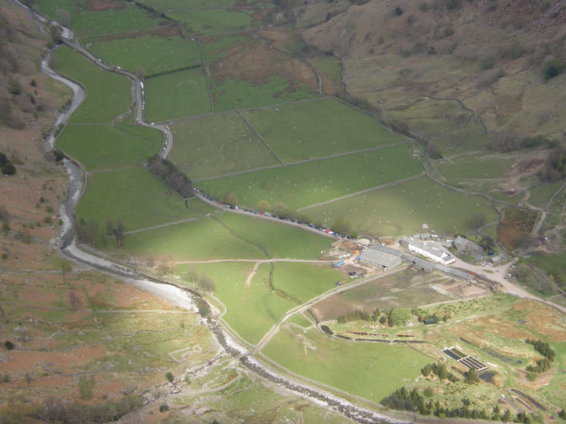
Seathwaite Farm
A burst of sunlight spotlights Seathwaite. You can see the footbridge, which I will cross later and the field in front of the farm, which is a campsite - where's the tents? Parked cars snake down the road. This part of Base Brown is host to a chaotic scene of post-glacial drama. Perched boulder, hanging stone and the "big boulder". Words in "wotsits" refer to Wainwright quotes in Book Seven.
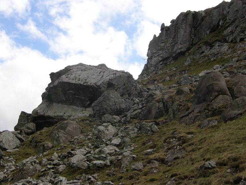
The Big Boulder!
Do you know of a bigger boulder in the the mountainous regions of Lakeland? The "hanging stone" is just visible higher up. Most "big boulders" will have shattered or been moved on and broken up by glacial action. This one is huge, with "caves" underneath. Climbers of Base Brown, who consider the job done by walking the short detour from the Gables path (and back), are missing out on great things!
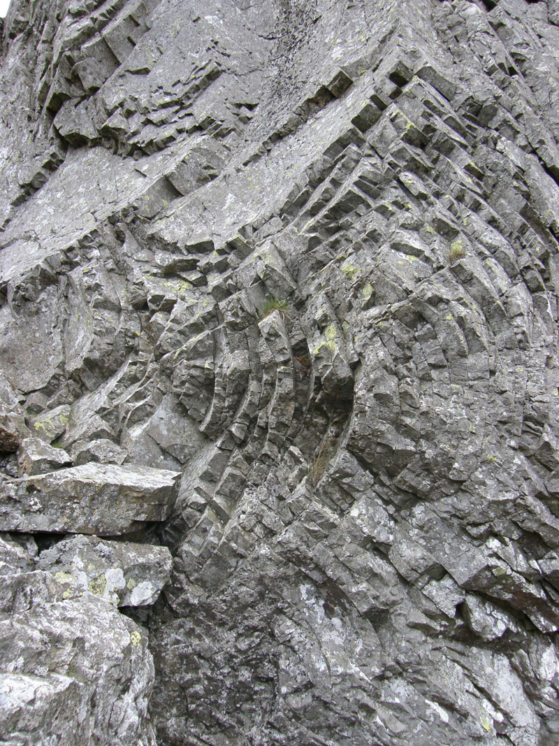 |
 |
Rock Art |
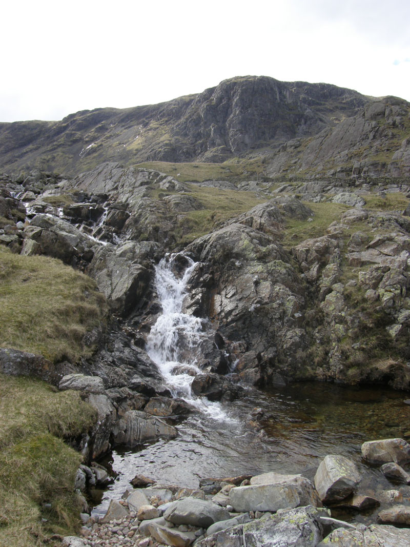
Sour Milk Gill |
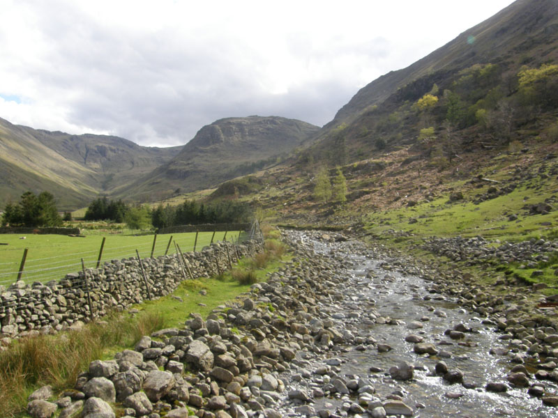
Seathwaite Fell
Another very enjoyable walk from the road at Seathwaite.
Walkers: Just Me.
Time taken: 7hrs 40mins over a distance of about 11 miles.
Route: Seathwaite, Grains Gill, Ruddy Gill, Esk Hause, Ill Crag, Broad Crag, Scafell Pike, Corridor Route to Styhead, up Great Gable to Westmorland Cairn and the summit. Windy Gap, Green Gable, Base Brown, Seathwaite Slabs and down Sour Milk Gill to Seathwaite.
Weather and Conditions: Dull start, leading to a bright sunny day. Cool in the easterly breeze.
Greetings Count: First greetings were just after Esk Hause and then there was a collection of us heading up SP together. Only about 20 walkers on top of SP and, on the whole, a quieter walk than I expected.
Richard's Refreshment Review: Why Do Cafe's Close at Teatime? Straight home for a bite to eat, Jake's Snack Shack needs to get up and running soon, it should do well.
All photos copyright Richard Ratcliffe 2012 ©
Take me back to the start ....