
~Kentmere and Thornthwaite Crag~
2nd June 2012
A walk of two halves. On a Bank Holiday weekend, I sought a little escape in one of Lakeland's quieter valleys.
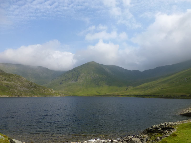
Kentmere Reservoir
Scroll down for photos and a description of the walk....
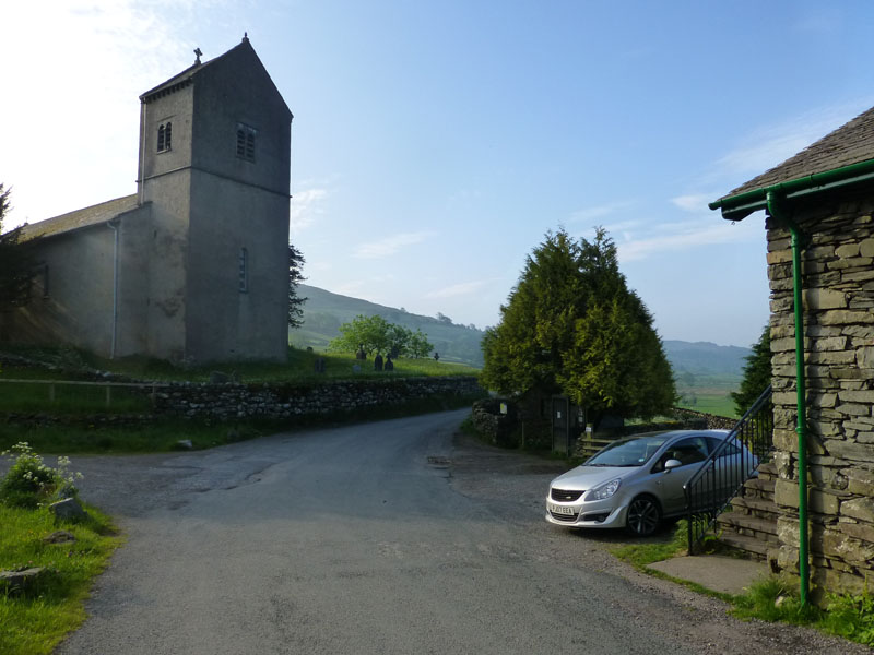
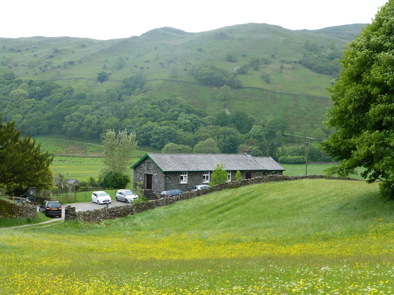
Kentmere Church
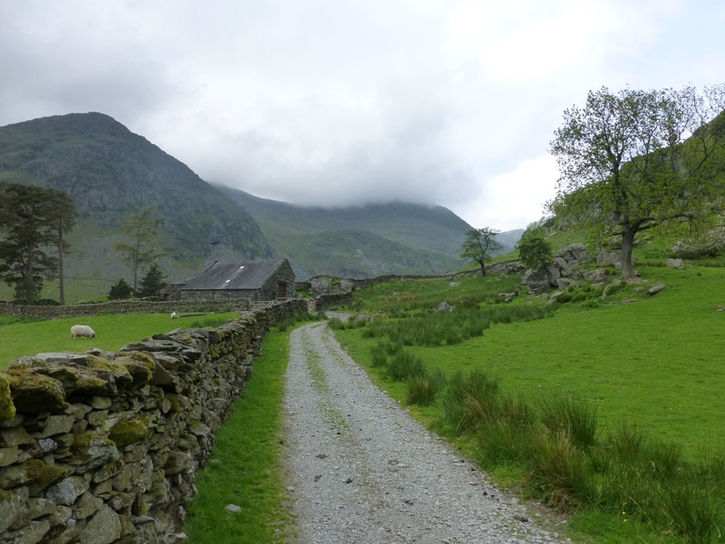
Parking for a voluntary £1 near to Kentmere Church, start time of 07:30hrs after a very quiet and relatively short drive from East Lancashire. A new car, Richard? No, son Gary's motor - it has a peculiar fault whereby it loses power occasionally. Not ideal and it happened once on the way up.
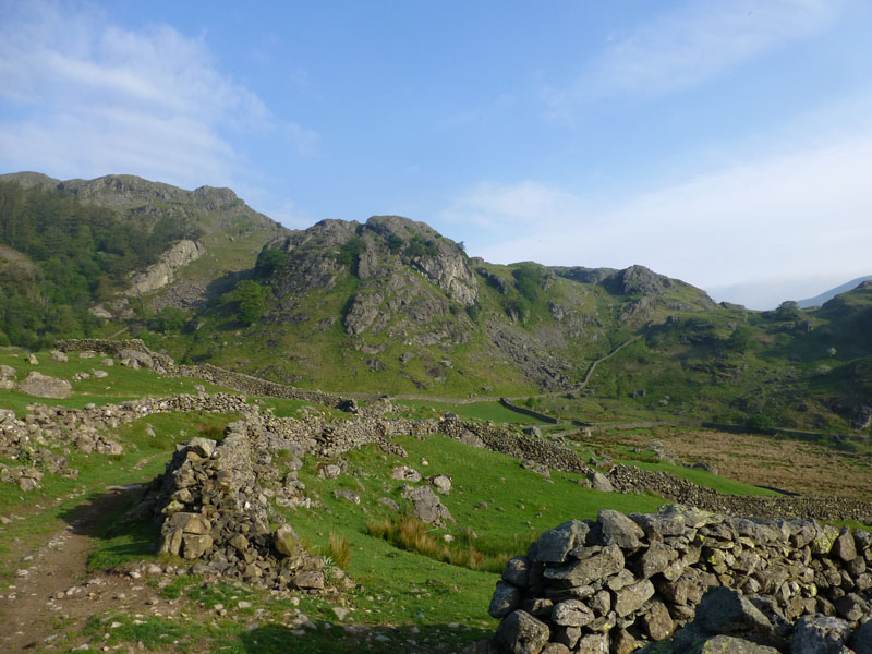
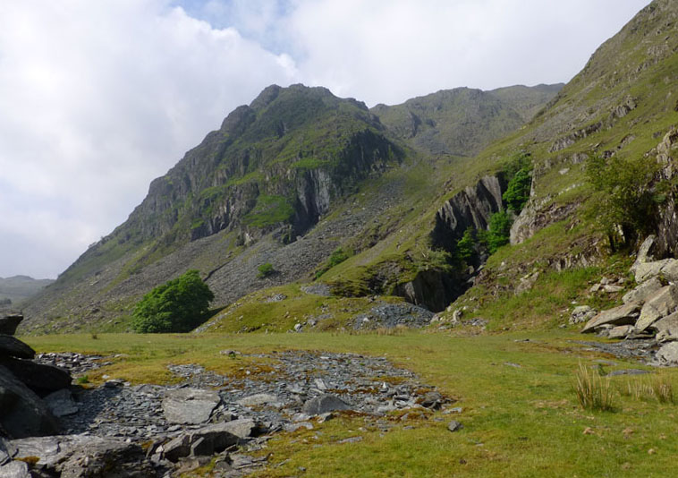
Raven Crag, Kentmere
My first destination was to be Kentmere Reservoir and I had the choice of walking either side of the River Kent. Here on the west side of the valley is the dramatic scene of Raven Crag. It made me wonder if more walls were built where the stone supply was plentiful? There are other Raven Crags available elsewhere.
 |
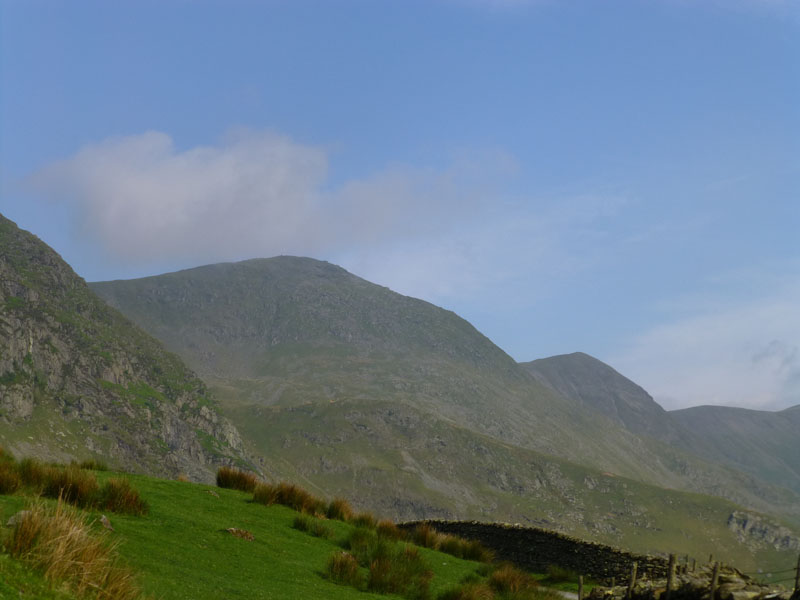 |
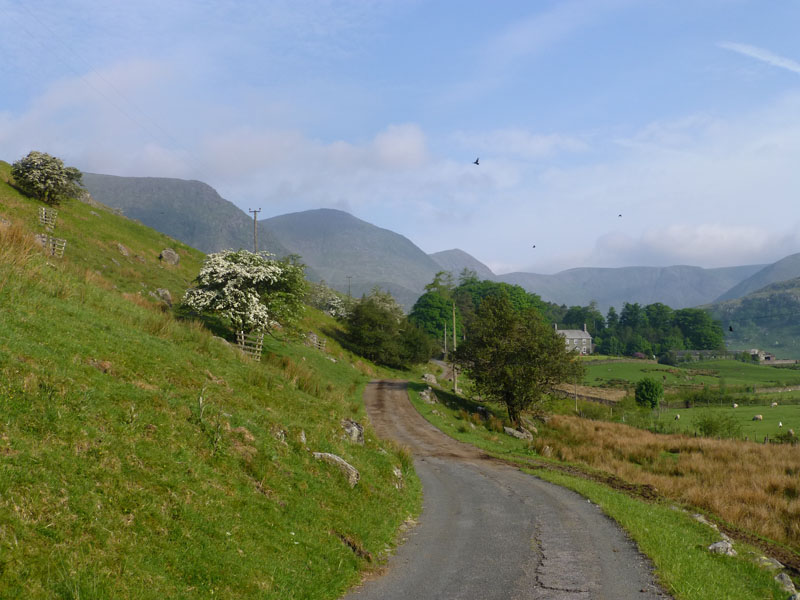
Hartrigg |
Ill Bell |
The Early Views
Hartrigg is a working farm in Kentmere; Ill Bell is being teased by wispy cloud, Froswick is further away.
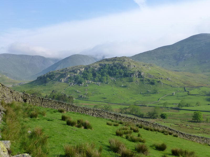
Tongue Scar
There appears to be a bank of low cloud encroaching from the east.
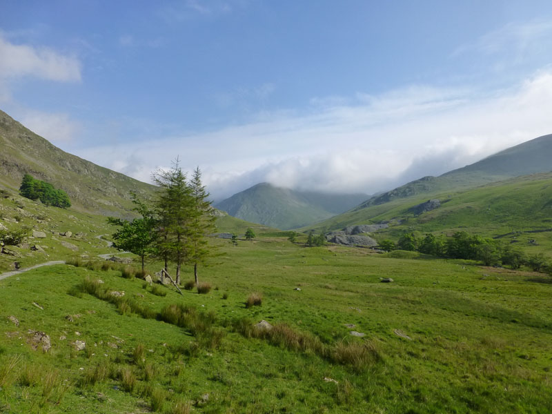
Kentmere
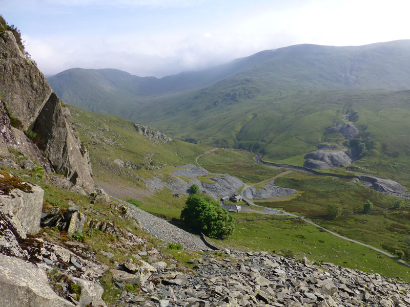
Yoke Quarry
With plenty of time available, I decided to go and have a look at one of the quarries on Yoke.
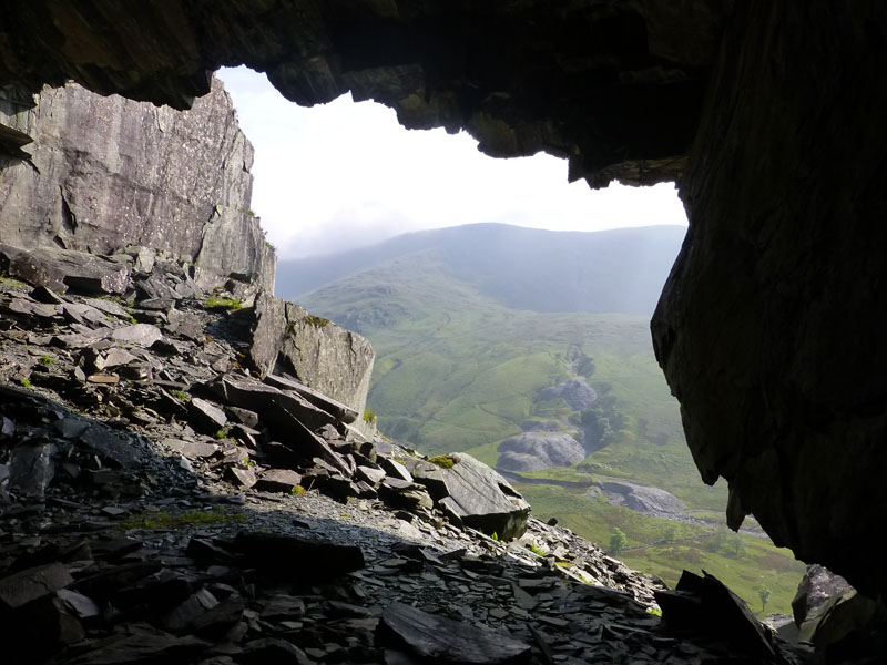
Looking Out
The short steep climb allows walkers to take a look inside one of the workplaces of past generations. How could they have possibly imagined the bizarre lifestyle of the early 21st Century? I'm here, concerned about lack of a signal on my mobile with the latest digital camera in hand, enjoying an extended weekend. Did they worry about the Euro? Would the relationship between the press and the politicians have been a major concern? Who paid their Holiday Pay on Jubille Day?
Kentmere View
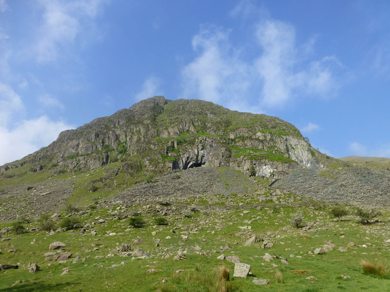
Rainsborrow Crag
Rainsborrow Crag is on the eastern flank of Yoke, seldom scene in detail by "Kentmere Horseshoe" walkers.
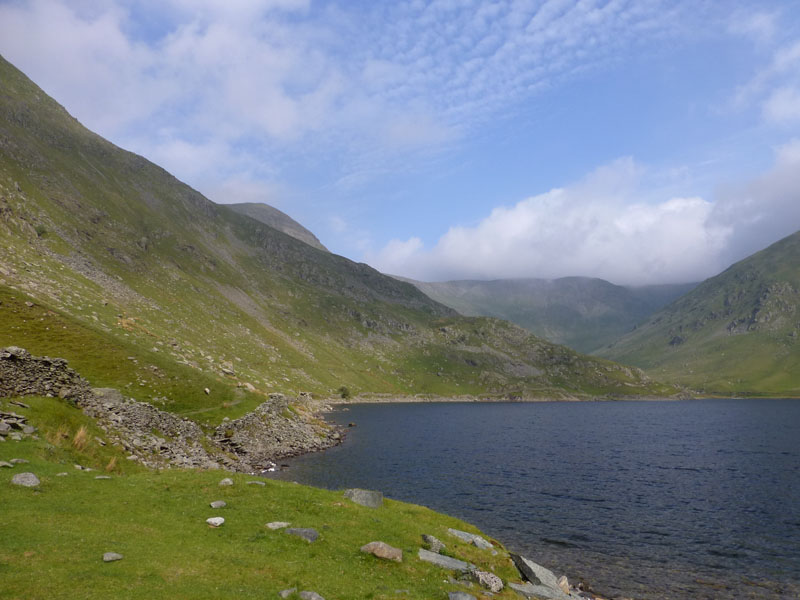
Kentmere Reservoir
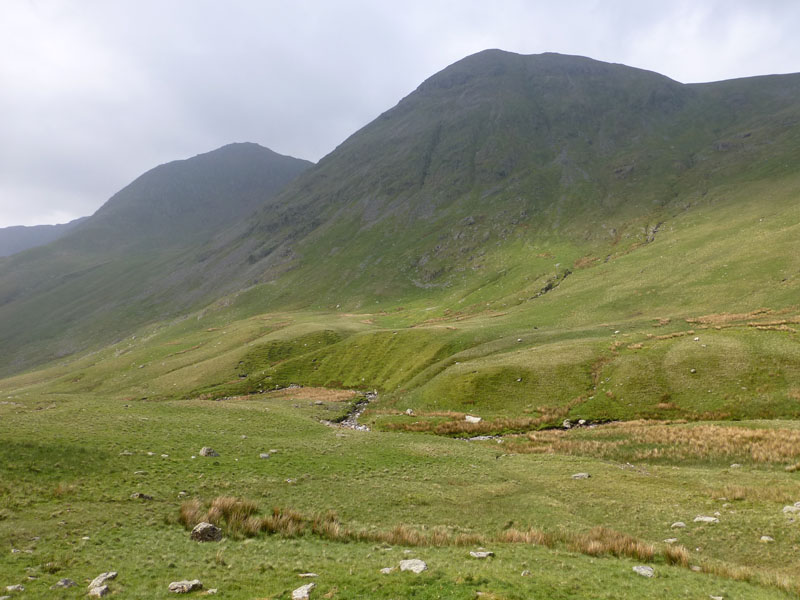
A good path skirts the water on the left-hand (west) side. Along with the gathering cloud, the breeze has become more noticeable.
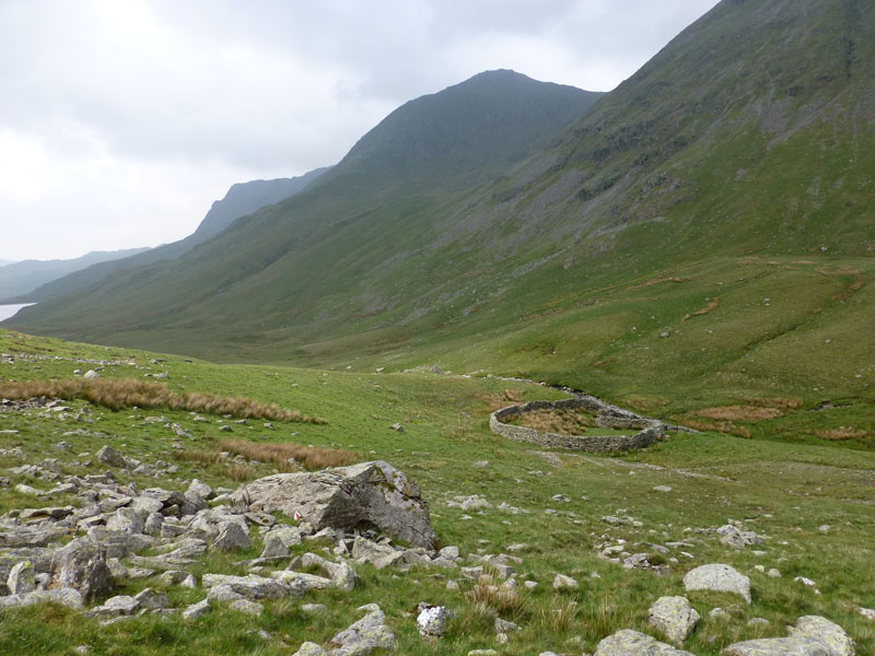
The "M" Rock and Sheepfold
Upper Kentmere is a quiet place, crosswords could be completed here. The "M" rock is the big one nearest the camera, so named by the author as a little notice saying nothing more than "M" is attached to it. My primary target of Thornthwaite Crag is, perhaps, not often the main aim of the fellwalker. It commands a great position in the middle of The Kentmere Horseshoe. Views are abundant, sometimes.
Froswick
"Froswick is rarely climbed direct .." and won't be treated to such by me today. Are we looking at lateral morraine? Subsequently contoured by the post-glacial waterflow from Hall Cove?
Gavel Crag
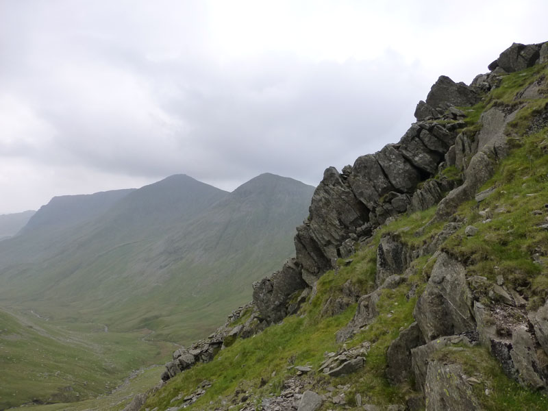
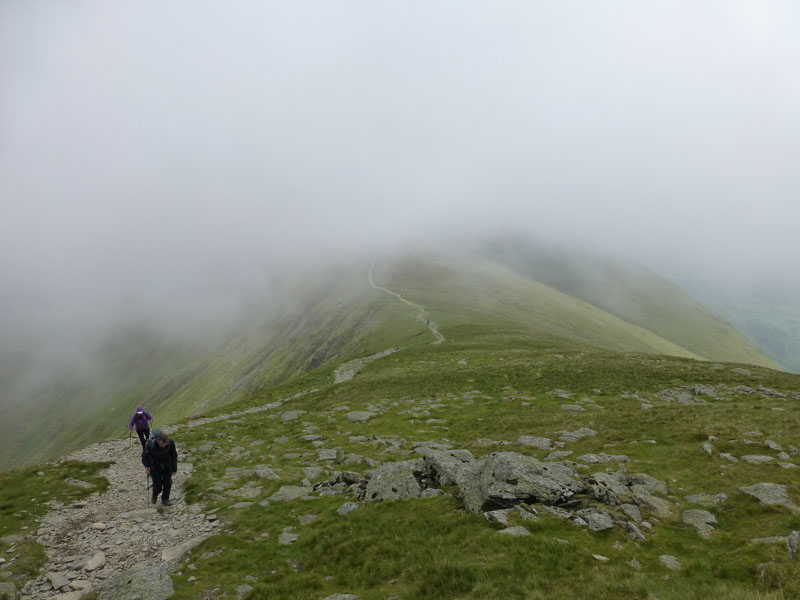
Today, I am walking another "Unfrequented" Wainwright route. I don't know how many times AW used the term "unfrequented" in the Pictorial Guides, but last week's Red Pike route was one and this is another. I determined that I would walk up Kentmere and make a direct ascent of Thornthwaite Crag, not something I've done before. The final approach of the fell is up Gavel Crag, "needing hands as well as feet". The gathered rocks in view are ready to go - the one at the foot is holding them all up. Hard hats required!
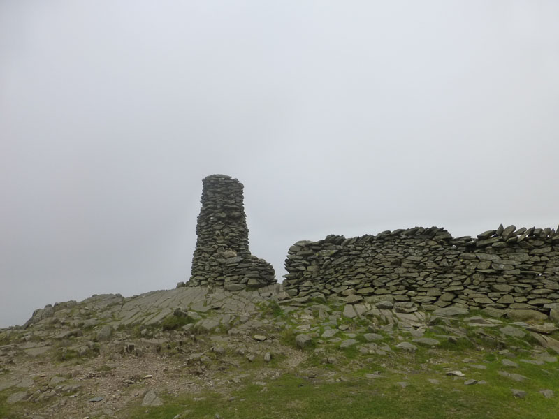
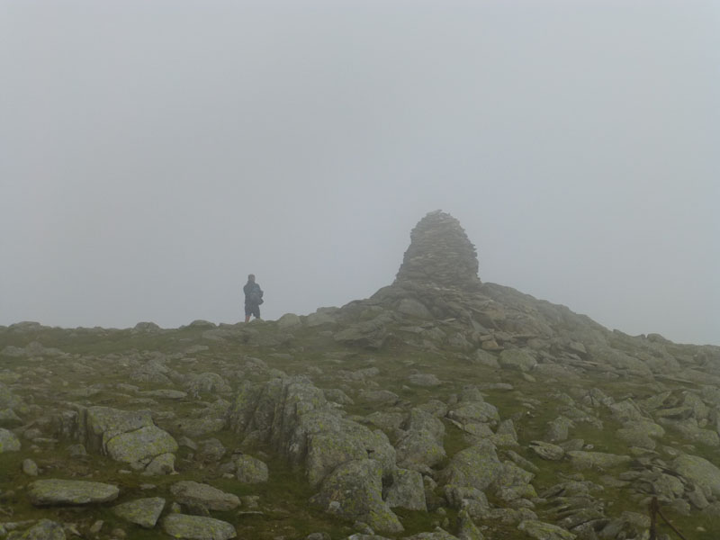
Thornthwaite Beacon at 2659ft asl
I had cause to get my compass out at the top of Gavel Crag. In cloud, there was nothing to see and whilst I knew which direction I should be heading in and the area is "safe", the needle was very helpful and pointed me straight to the Beacon. Here I met the first of the other fellwalkers out today. Just too cool and breezy for a lunch stop. This is half-time and I'm going to have to defend a slender lead against "the elements".
To Froswick
The attack of the stiff breeze was now broadside and it was a case of head down, best foot forward and try not to regret the wearing of shorts and the not carrying of over-trousers.
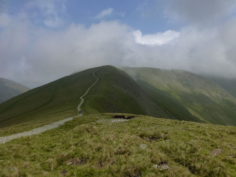
Looking Back
An interruption of sunshine. The four walkers were deep in conversation. One man was heard to enquire "...what is a Wainwright then?" and off they marched bagging felltops. This is one of those "improved" pathways and it seems fine by me.
Froswick Summit 2359ft asl
I took lunch just off the summit on the leeward side. Thornthwaite Crag now appears to be free of cloud, but the change is only temporary.
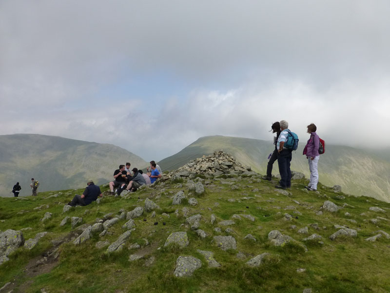
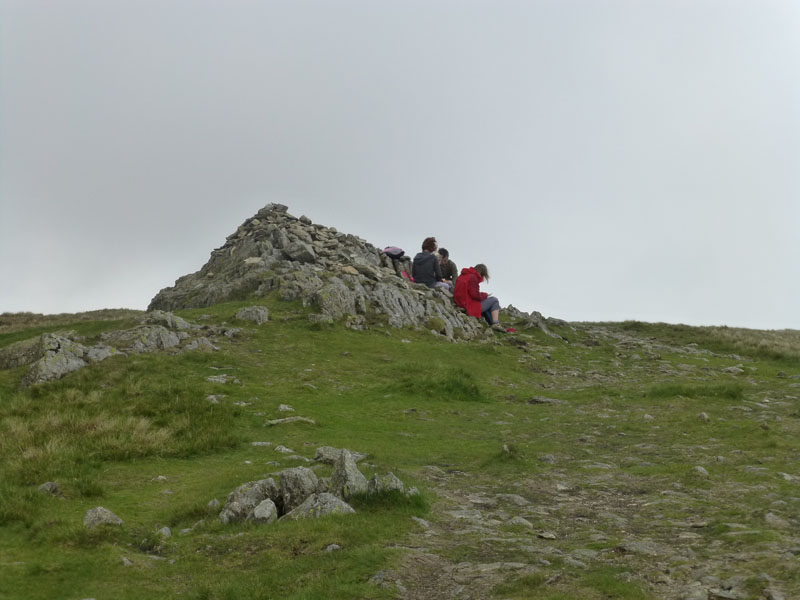
Ill Bell Summit Area 2476ft asl
Shame, the best of the summits I'm visiting today - in terms of views and felltop furniture. But not much on offer today.
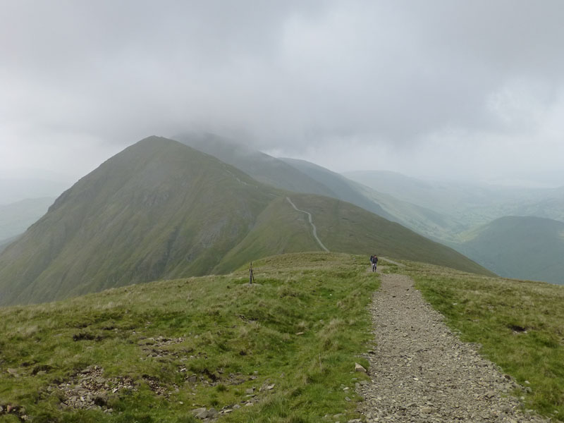
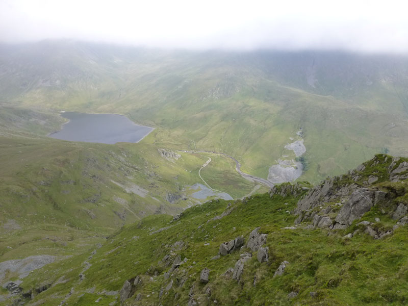
To Yoke
The moment in time captured by the speedy shutter, hides the story of the bitter easterly wind. The wispy clouds are flowing over the col at about 30mph, maybe a little faster.
Yoke Summit 2309ft asl
Dad was talking up the merits of fellwalking to mum and two teenage daughters, tough task today.
 |
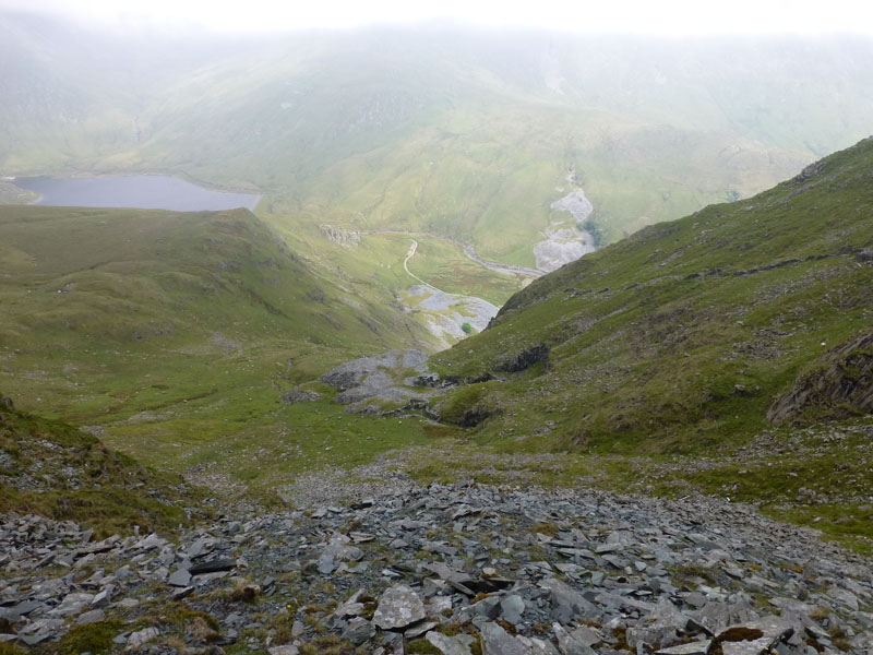 |
Yoke Descent |
Yoke Quarry |
I chose to abandon the ridge walk and descend off the eastern flank of Yoke, finding more of the abandoned quarries. It's quite steep, but not too tricky and could be used as an ascent route.
~~~~~~
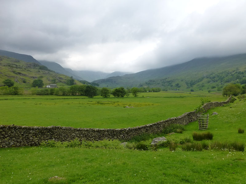
Looking Back
I chose to take the tracks on the other side of Kentmere in order to get back to the start.
~~~~~
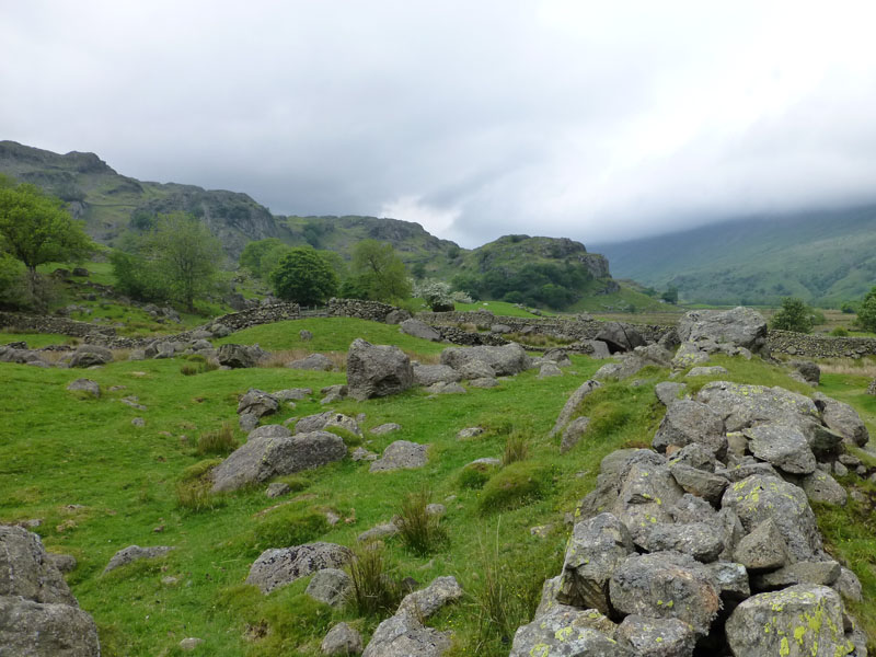
Boulder Fields
Walkers will notice the boulder fields on the way back to Kentmere village.
And back to the car. I noticed that myself and one other had parked in the car park and paid £1 (presumably in the case of the other car), whilst as many as four other car-owners had carefully parked to avoid this harsh pecuniary burden!
Final result at full time - score draw. I was two up at half time, with great views and the quarry adventure, however they clawed one back on top of Thornthwaite Crag - no views and another on Ill Bell.
Walkers: Just Me.
Time taken: 8hrs over a distance of about 12.5 miles.
Route: Kentmere Church, to Rainsborrow Crag, Kentmere Reservoir, Hall Cove, Gavel Crag, Thornthwaite Crag, Froswick, Ill Bell, Yoke, down to the upper quarries of Yoke, over the river and back along the other side of the valley.
Weather and Conditions: Sunny start, clouding over and remaining cool and breezy on the tops.
Greetings Count: No meetings until the top of Thornthwaite Crag and then a steady procession of Horseshoers, before solitude was restored on Yoke's eastern flanks.
Richard's Refreshment Review: Coffee and cake at Wilf's in Staveley. Wilf's has announced extended summer hours. Good News! A cafe that will stay open longer to suit homegoing daytrippers - but no. Sadly, the extension is an earlier opening time 0830hrs instead of 0900hrs. The cafe will continue to close at 5pm.
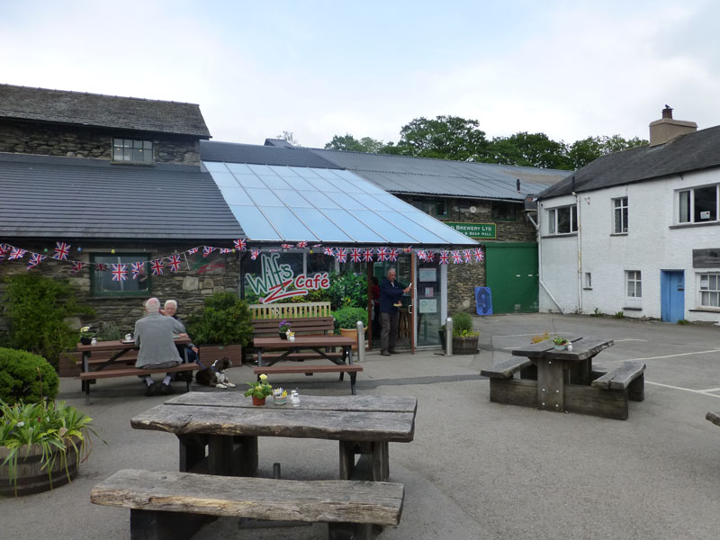
Wilf's Cafe, Staveley
All photos copyright Richard Ratcliffe 2012 ©
Take me back to the start ....