
~Great Sca Fell to High Pike~
31st March 2012
Today's walk was my choice, or at least one of maybe five that I put forward. Threatened to some extent by fuel supply issues, the walk went ahead after all participants declared healthy levels in their tanks. I've started from Fell Side twice before and walks in this territory have much to offer, but don't expect tree-lined tarns and fell-fixed paths.
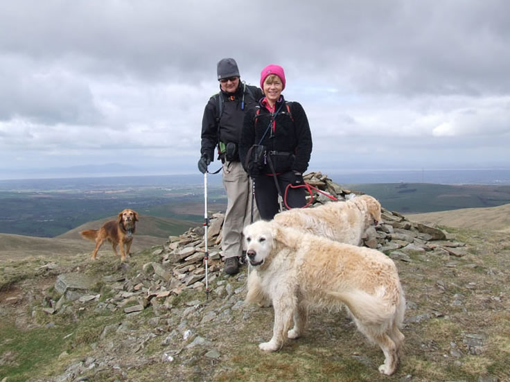
The Others
Scroll down for photos and a description of the walk....

Parking at Fell Side
Don't try using Google Maps to plot a route to Fell Side, it's not on their radar. It's roughly two miles south west of Caldbeck and be aware that parking is limited and roads may be covered in mud, as was the case today. Start time of 10:30hrs.
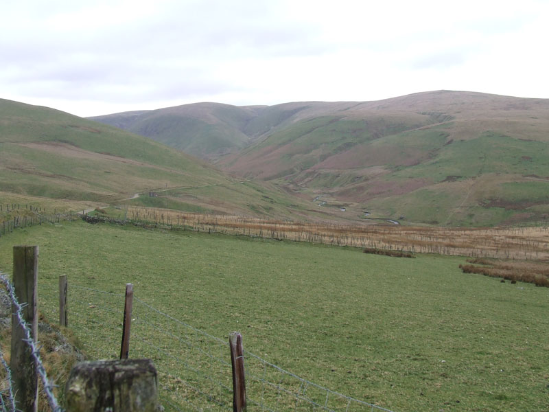
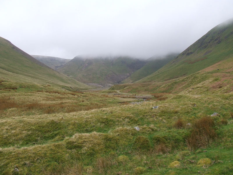
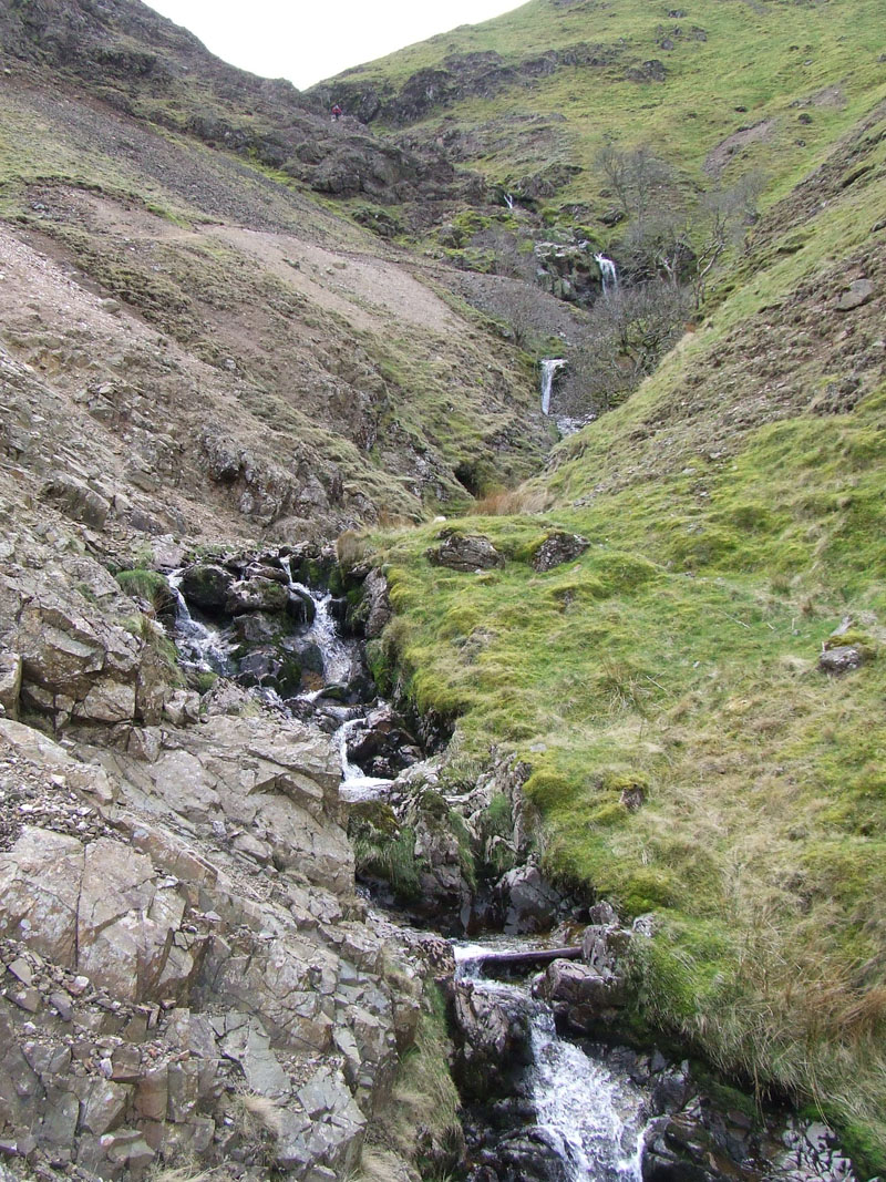
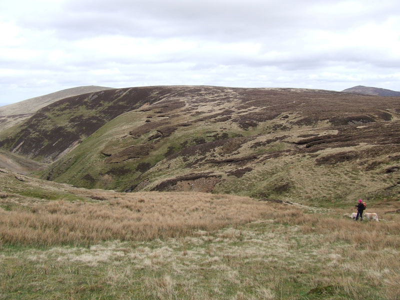
Dale Beck
Brae Fell to the right and Great Sca Fell is straight ahead. A clear morning has declined to overcast and a forecast cold front is about to pass over the area.
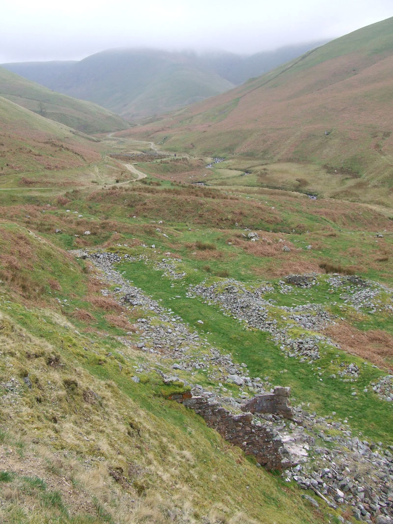
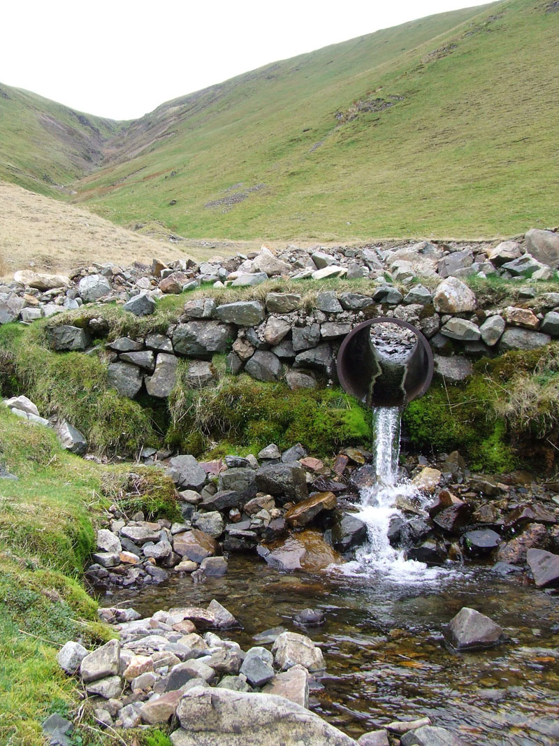
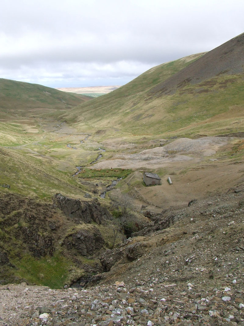
Smelting Mill (remains thereof)
In the thirteen minutes between the last two photos, the cloud base has lowered considerably.
 |
 |
Walkers |
Low Cloud |
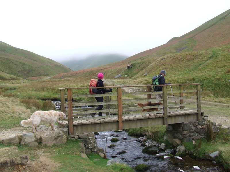
As we head for Roughton Gill "Row'tn Gill", a few spots of rain threaten our enjoyment of this peaceful valley. For those whose targets are only summits, the start point of Fell Side is not ideal for you, there are more efficient ways of reducing the "to-do" list.
 |
 |
Silver Gill
|
Roughton Gill |
Last time I was here, I thought I'd be back to climb up Silver Gill. But really, there's no contest, if you fancy a gill scramble and a bit of adventure, then it has to be Roughton Gill. Silver Gill heads quite directly for Great Sca Fell.
We met another walker and decided on a game of hide-and-seek. He counts to 100 and we go off to find a place to hide.
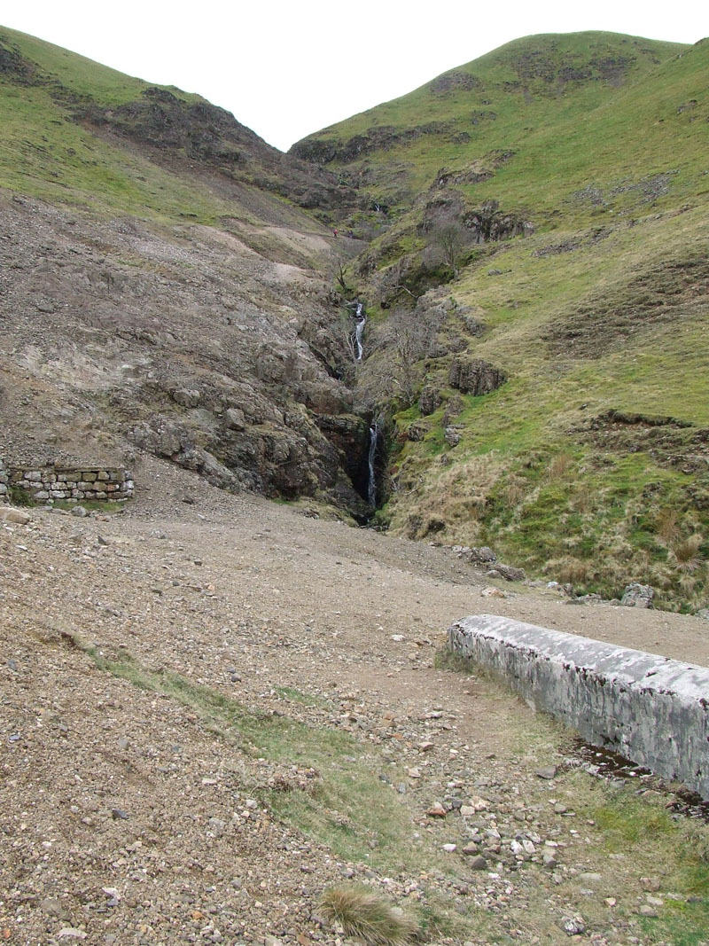
Roughton Gill
Best scrambled after a dry spell. Initially the feint path is higher up to the left.
 |
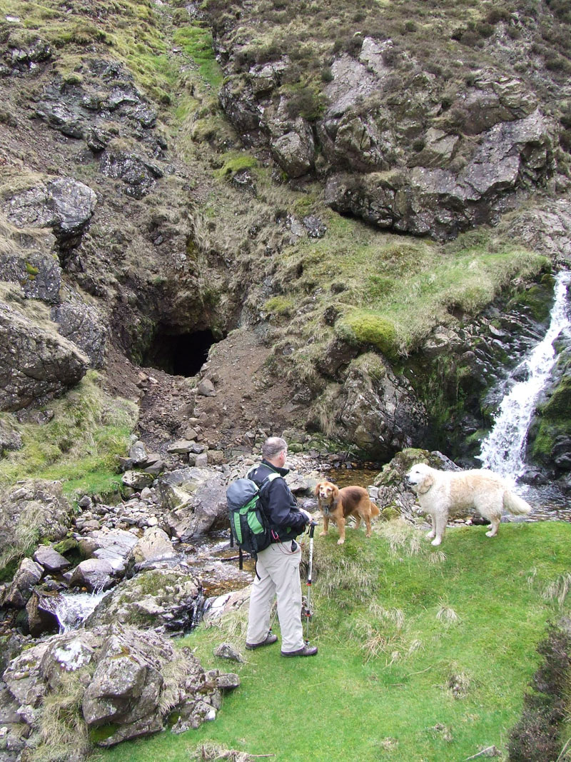 |
Mining Area |
Mine in Roughton Gill |
Gill Views
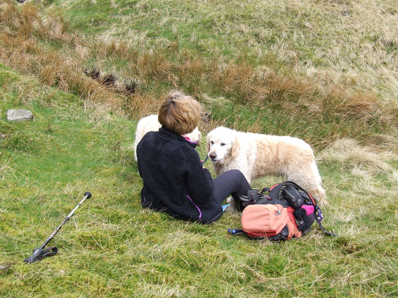
Lunchtime
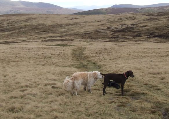
As the steepness eases, opportunites arise for a lunch stop and we sieze one. The front has progressed southwards and left us with clearer air, fortunately no significant rainfall. Jo is looking after the "Hiley" dogs for a couple of days. Harry and Bethan are very similar in looks, they do have different coloured collars but as a more accurate guide, generally Harry is the one closest to you and Bethan is the one about 100 yards further away.
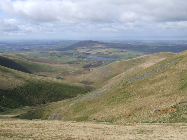
Binsey and Over Water
Binsey and Over Water in the WNW direction from my viewpoint, which is just off the ridge between Little Sca Fell and Great Sca Fell.
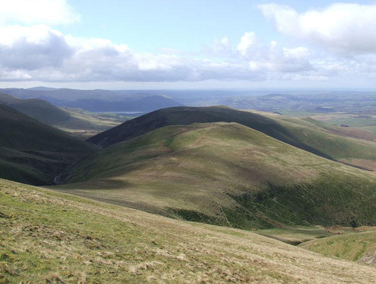
Meal Fell
Meal Fell with Great Cockup in the shade further away. Ordinarily I wouldn't have been stood here, but we dispersed to look for fellwandering Bethan and I thought I may aswell take a photo whilst I'm here.
Team Photo
John and Jo stand proudly at the top of Little Sca Fell.
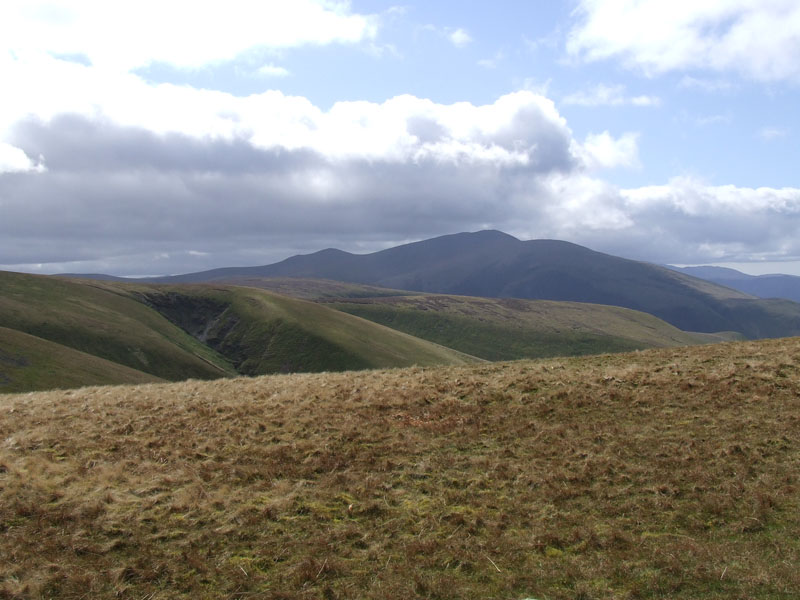
Skiddaw
Great Sca Fell Summit 2131ft asl
Polly is John's dog and enjoys rambling around and attacking the grass.
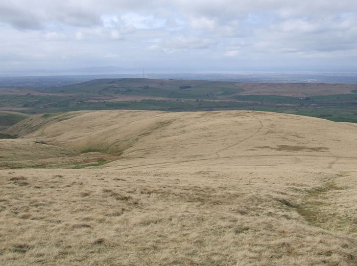
Route to High Pike
We decided to give Knott (out of sight) a miss and go cross-country for Lingy Hut on the Cumbrian Way.
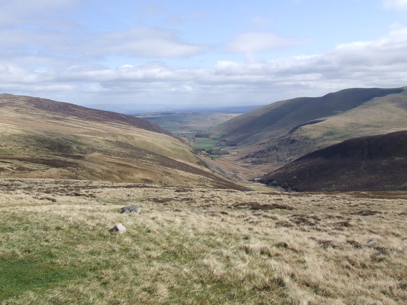
Mosedale
Perhaps not the best view of such, but Mosedale is considered to be an over-deepened valley. If you look at the profile of the slopes of Carrock Fell (left), they deepen sharply and the theory is that glaciation is responsible for reshaping a previously broader and higher valley.*
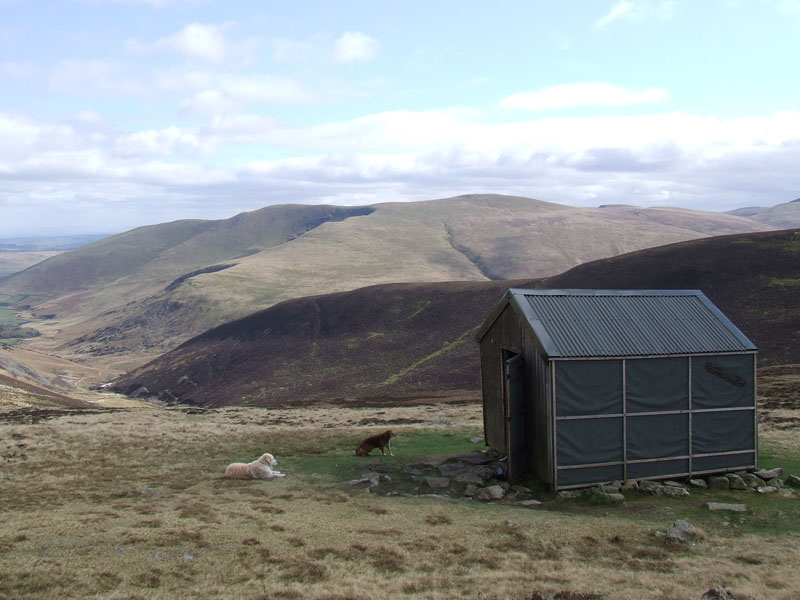
Lingy Hut (bothy)
Welcome shelter for walkers in poor weather conditions. I wonder if that chap from Roughton Gill will find us in here?
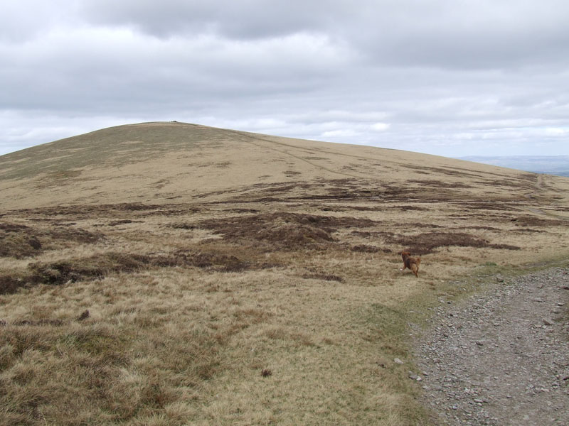
High Pike
The path bifurcates and we fork left for High Pike, others may choose right for Carrock Fell.
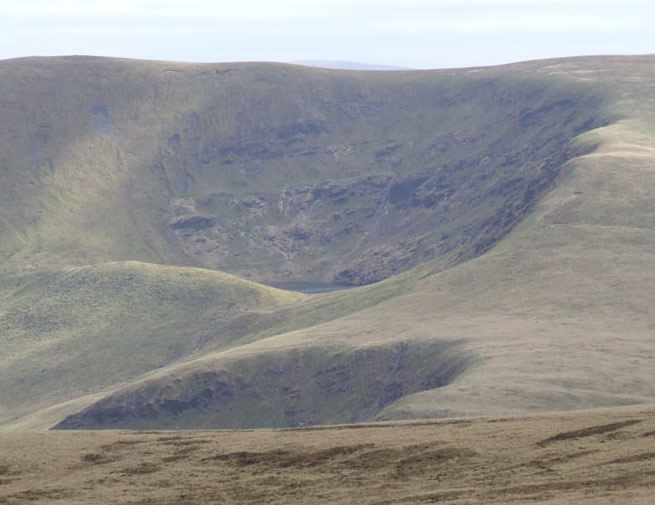
Bowscale Tarn
Quite a good view of the corrie which is home to Bowscale Tarn, clearly showing the large terminal morraine deposited by the last glacier to occupy such. If you have a couple of hours to spare, or happen to be walking in the area, visit Bowscale Tarn, you will not be disappointed.
Canine Etiquette
What is perfectly acceptable in the canine world, could easily cause distress and misunderstandings in other communities.
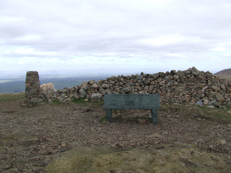
High Pike Summit
Name the dog.
Descent Route
We are heading back to Fell Side on clear tracks.
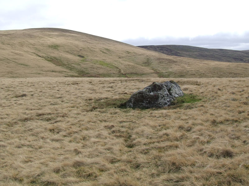
Erratic Boulder
Who put that there? It just doesn't look as though it belongs here.
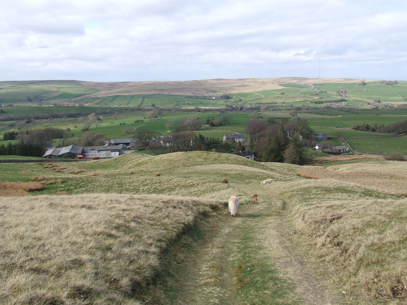
Fell Side
The last bit of the walk back down to Fell Side.
Walkers: John Paterson , Jo Hall and Me. Plus Polly, Harry and
Time taken: 5hrs 30mins over a distance of about 9 miles.
Route: Fell Side, Dale Beck, Roughton Gill, Little Sca Fell, Great Sca Fell, not Knott, Lingy Hut, High Pike, NNW off the fell and back down to Fell Side.
Weather and Conditions: Cloudy and then clearing to cooler, brighter conditions.
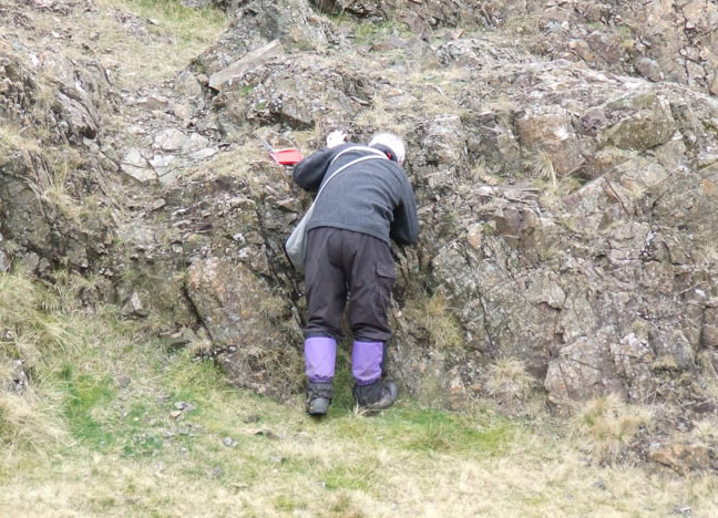
Greetings Count: It was busier than I expected, two others at the car park, then the geologist and then a few characters on the Sca Fells. Later, we passed a few others on the Cumbrian Way. On the whole quieter than I expect the other Scafells would have been.
Richard's Refreshment Review: Nothing to report, Fell Side is just short of a tearoom. Caldbeck has at least two, but we went the other way round the Skiddaw Massif. Bethan.
* Lake District Mountain Landforms by Peter Wilson
All photos copyright Richard Ratcliffe 2012 ©
Take me back to the start ....