
~Helvellyn to Raise from Swirls~
11th March 2012
Neil was staying in Keswick and I was in Coniston, so we decided to meet up somewhere inbetween and make an ascent of Helvellyn. The early forecast for the weekend gave little room for optimism, but in the event there was plenty of sunshine on offer and felltops throughout most of Lakeland were above low cloud.
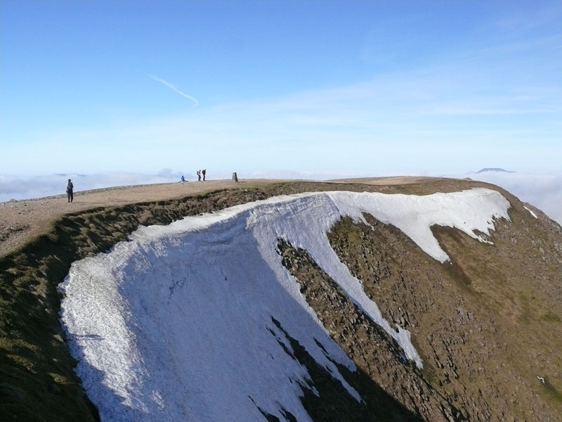
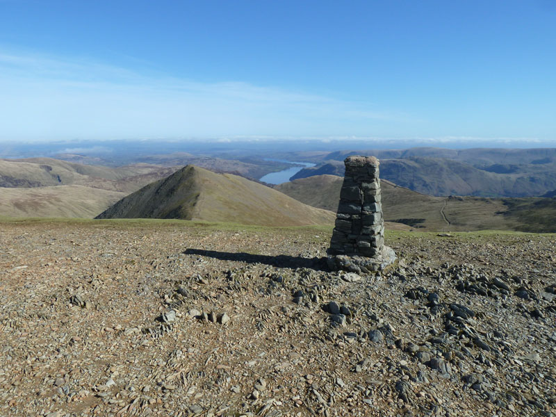
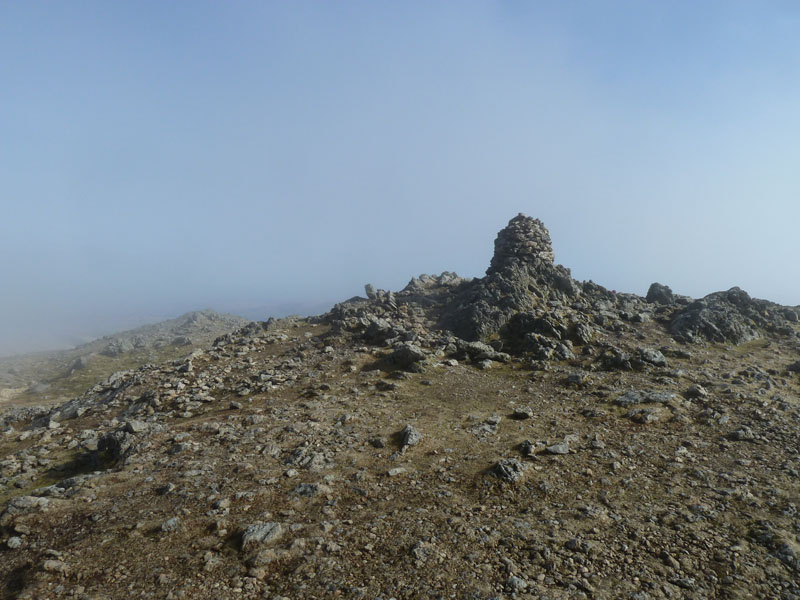
Helvellyn Summit
Scroll down for photos and a description of the walk....
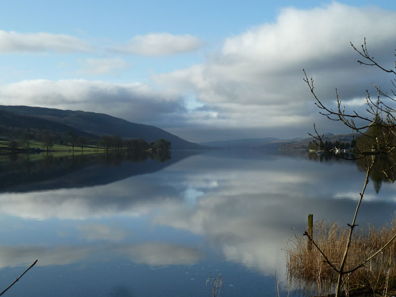
Coniston Water
Leaving the hotel at 08:40, I stopped to take this photo of a calm Coniston Water. Neil and I started our walk at 09:30 from the roadside at Thirlspot. This would be only my second ascent of Helvellyn from the west, my preferance having been for approaches from Glenridding and Patterdale.
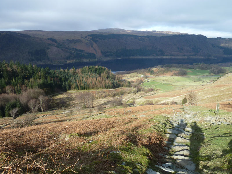
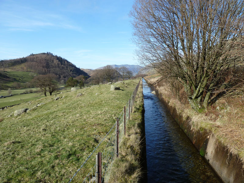
View to the North
Great How in the shade, High Rigg in the sunshine and a look along the water channel bringing water into Thirlmere from many of the gills of the western slopes of the Helvellyn ridge.
 |
 |
Thirlmere |
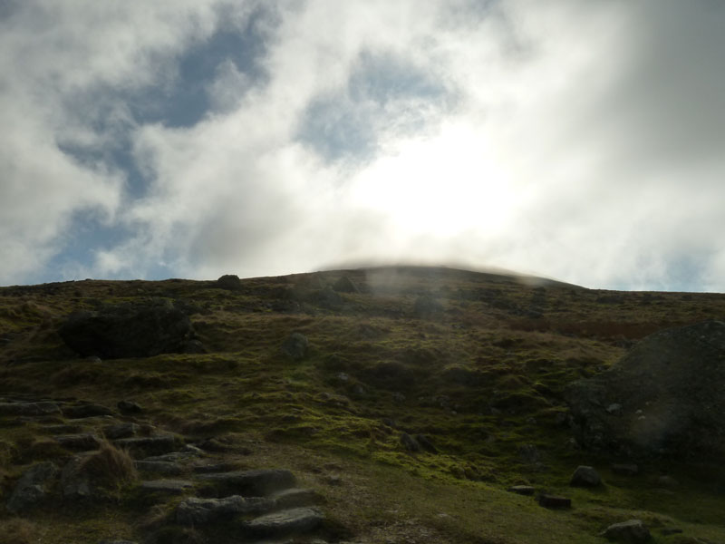
Looking Up |
There is plenty of cloud around, and looking forward we're aiming directly into the sun.
 |
 |
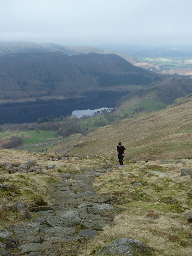
A Runner Catches Us Up
|
Onto Browncove Crags |
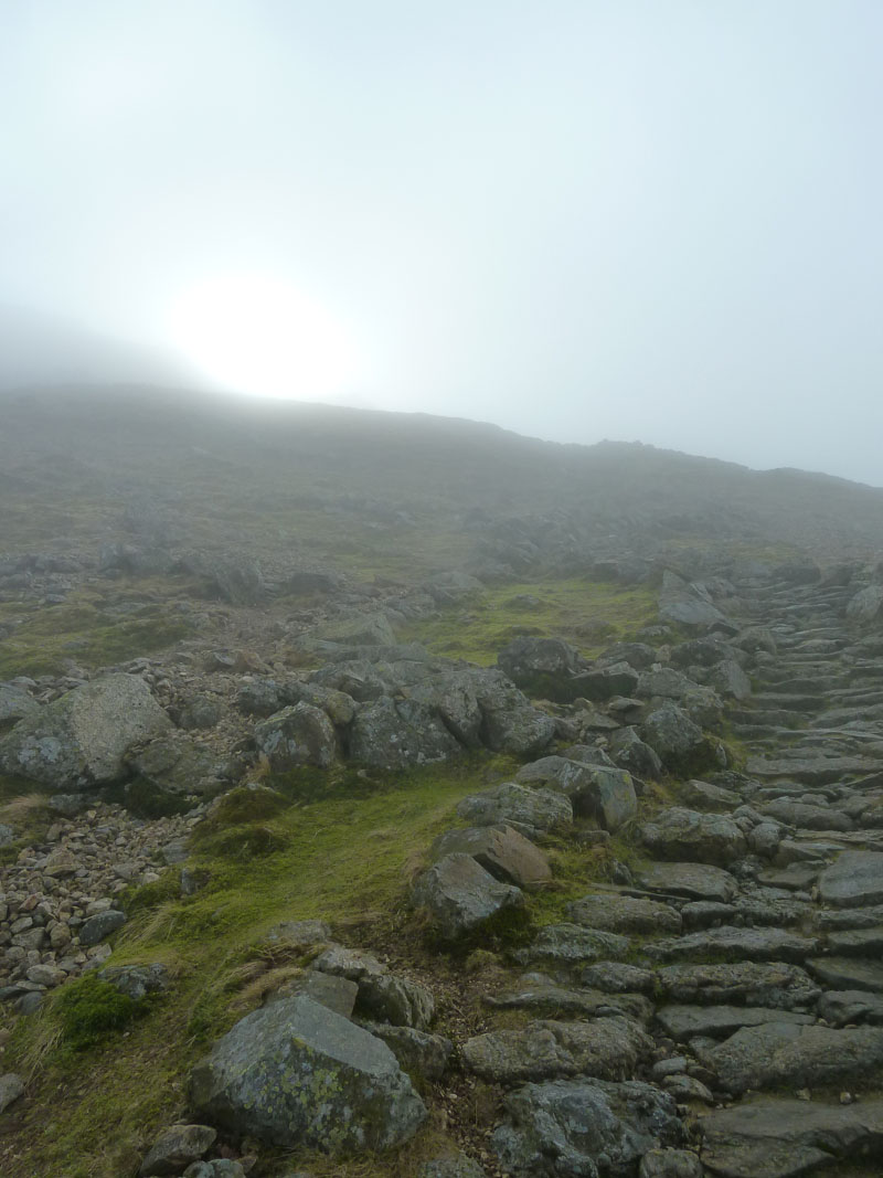
Into The Cloud
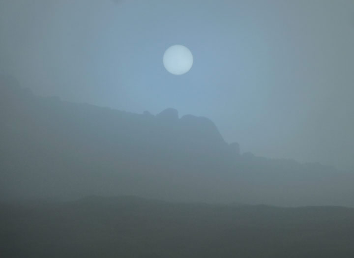
The Misty Sun
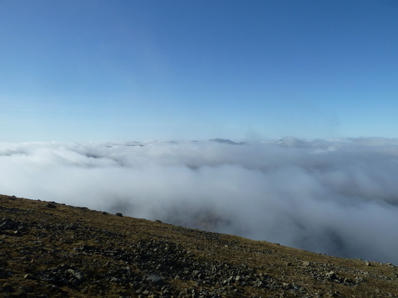
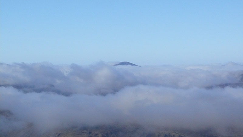
Above The Clouds
As we climb through the cloud, we gain a view across Lakeland to distant "islands" - the top of the Scafell range is seen here.
~~~~~~~~~~~~
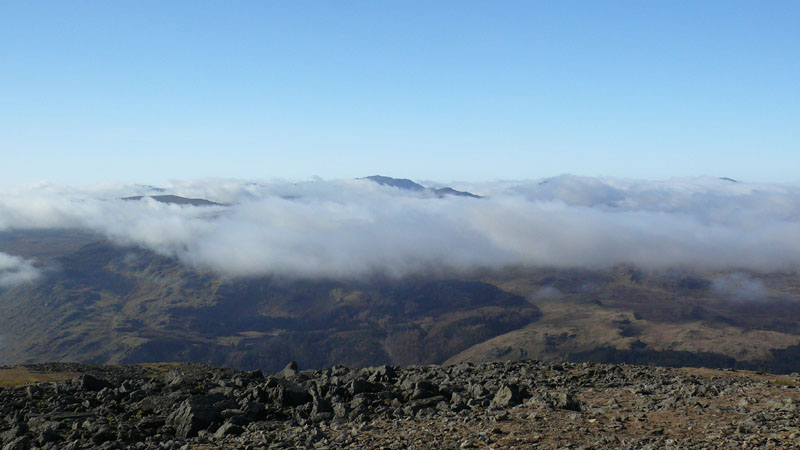
Across Lakeland
To Helvellyn Summit
Neil strides purposefully towards Helvellyn summit.
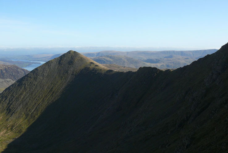
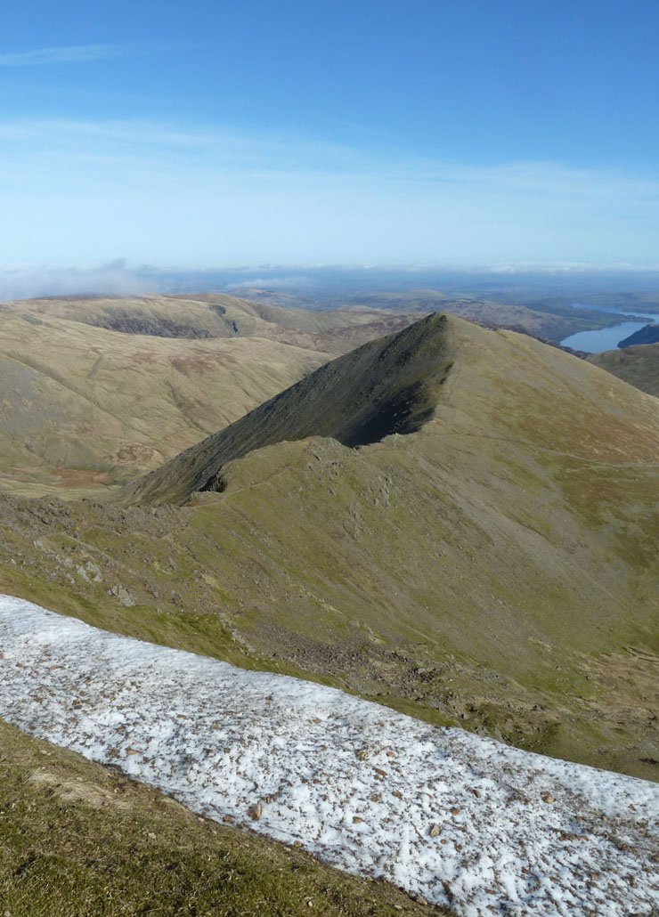
Swirral Edge
A deep shadow cast over Swirral Edge and the prominent edge of the North-West ridge of Catstycam.
Presumably Pillar
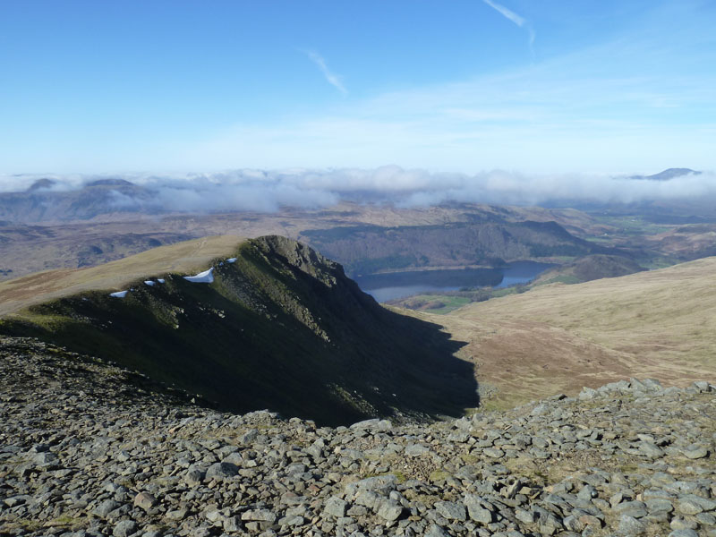
Helvellyn Summit and Striding Edge
Not Quite The Summit & Catstycam
Helvellyn's trig column is not at the highest point, which must mean some folk who think they have been to the top, possibly have not.
Catstycam
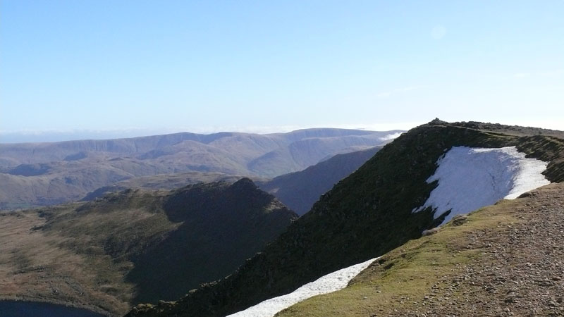
The Remaining Snow Cornice on Helvellyn
The little fella in blue was 5 on Saturday and had been promised a climb up Helvellyn!
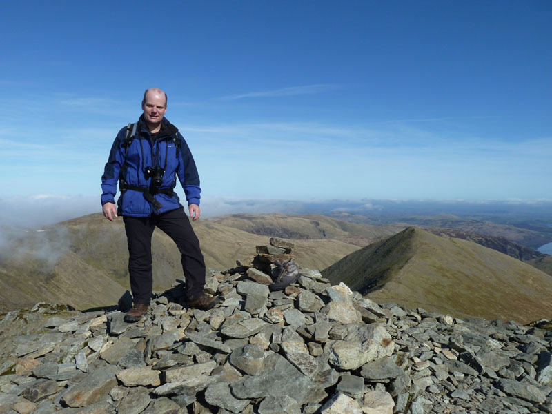
Me on top of Helvellyn
How many boots can you see?
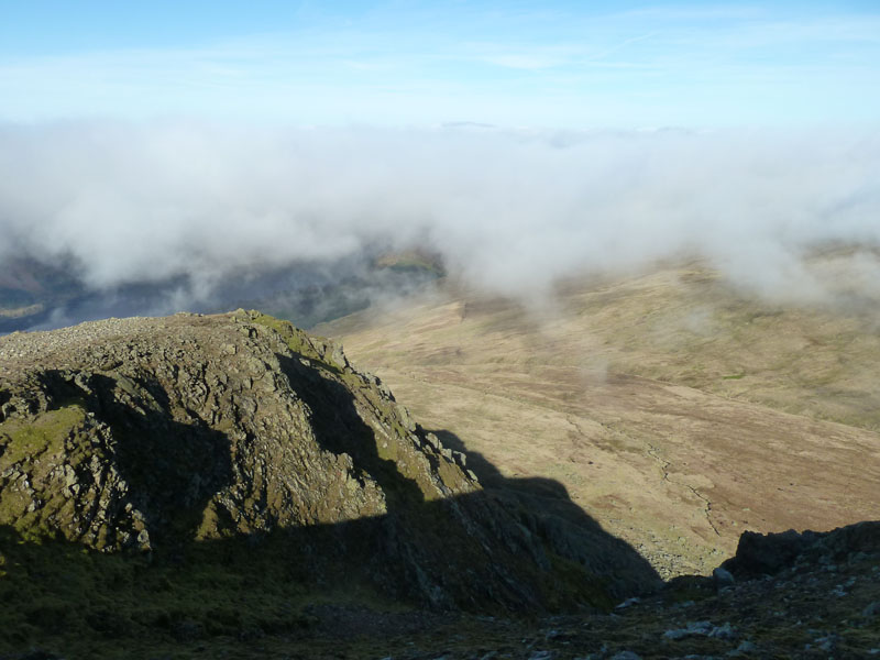
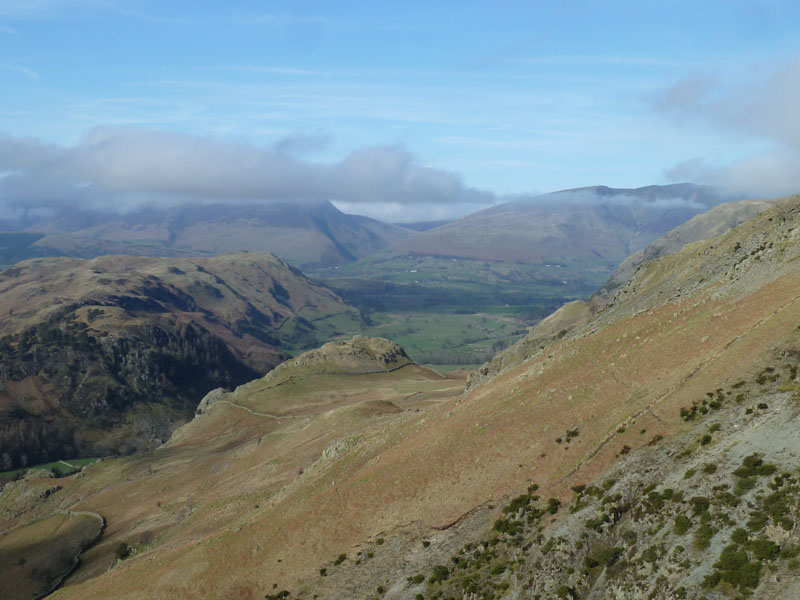
Browncove Crags and Beyond
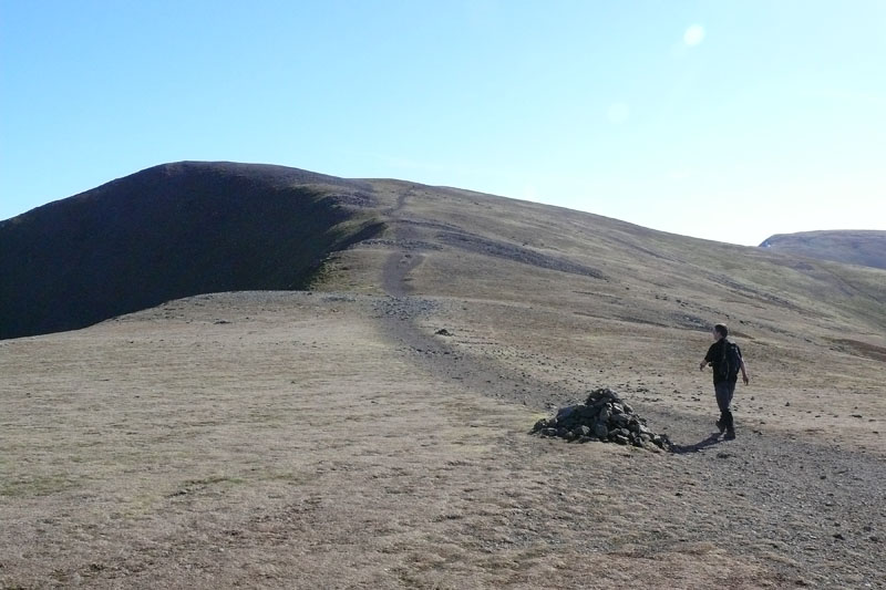
Whiteside Summit
Both Neil and I wanted to get home in reasonable time, so we decided on a relatively short walk and aimed for Whiteside from Helvellyn Lower Man. As you can see, the wispy cloud was plaguing the Dodds, making our decision to head down Sticks Pass, an easy one.
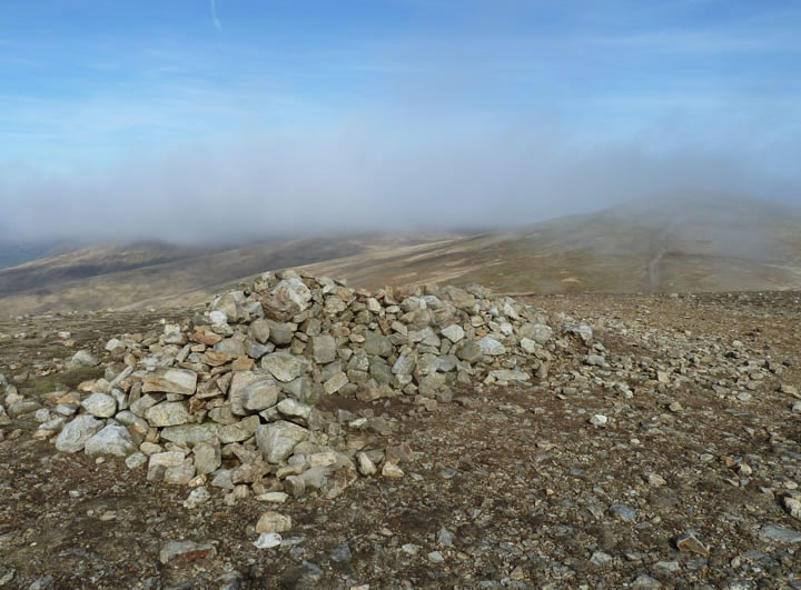
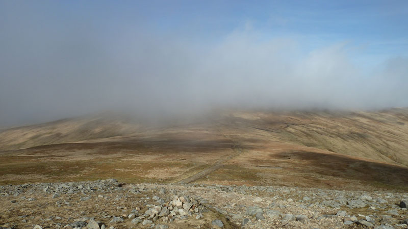
Raise Summit
Sticks Pass
Into the dip and then turn left for the route down to Stanah.
Sticks Pass
The way down passes a substantial sheepfold, after which we took lunch with a grand view of High Rigg.
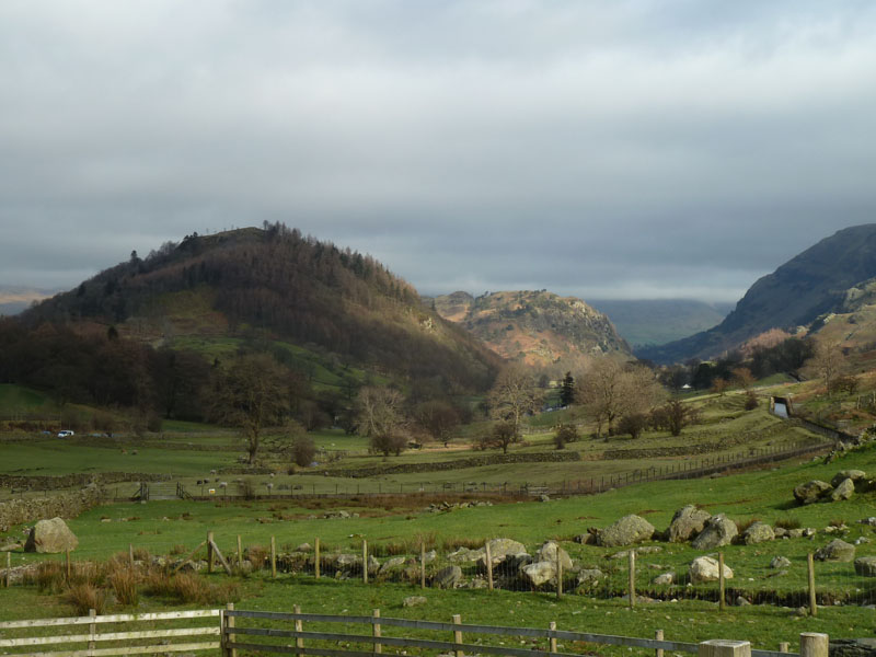
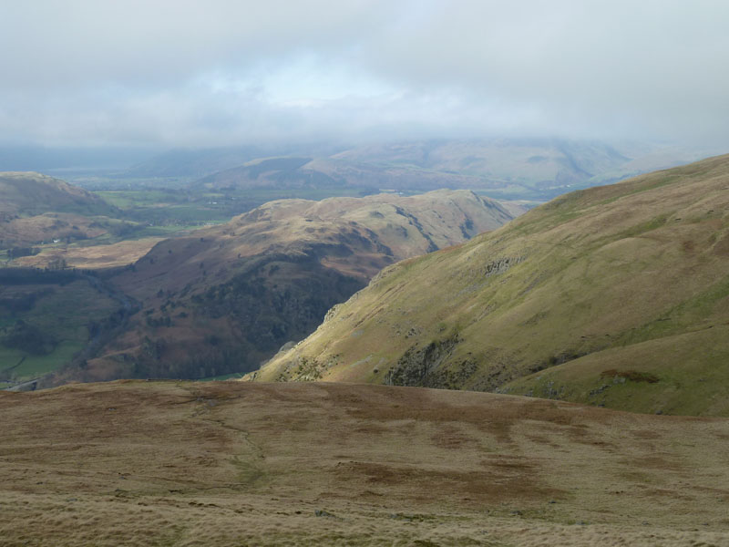
Castle Rock
The lumpy bit in the foreground is Castle Rock, High Rigg is off to the left and Blencathra comes into view.
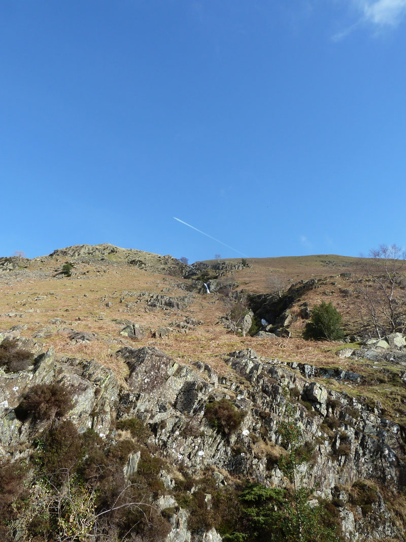
Stanah Gill
We opted for the footpath along the fellside, just above the farmer's wall, a better option than the A591.
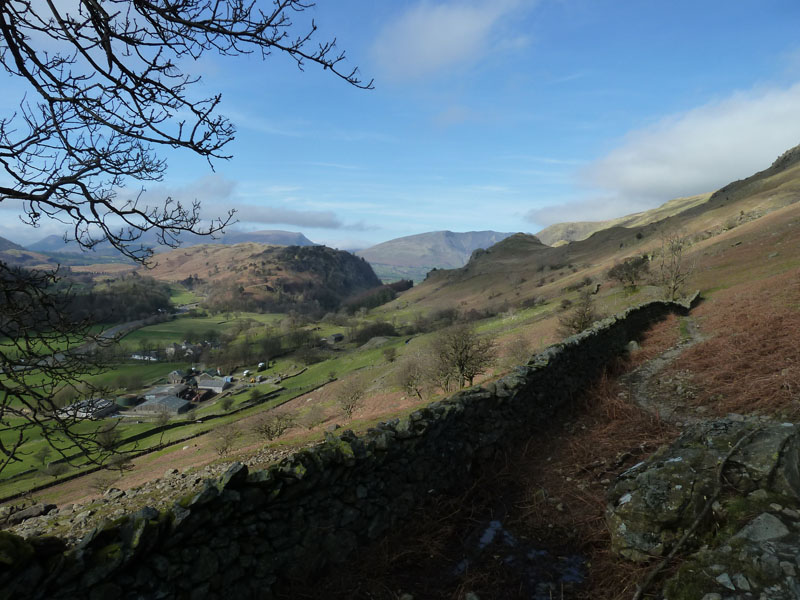
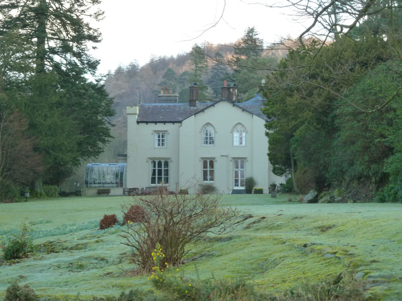
The View from Fisher Place
 |
 |
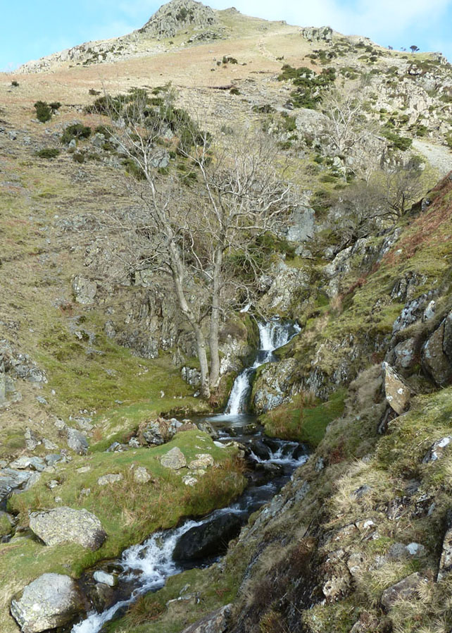
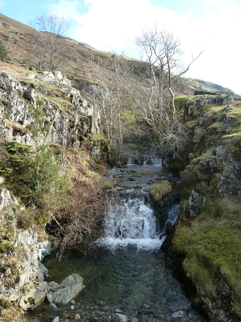
Waterfalls |
Higher Up
|
Fisherplace Gill
~~~~~~~~~~~
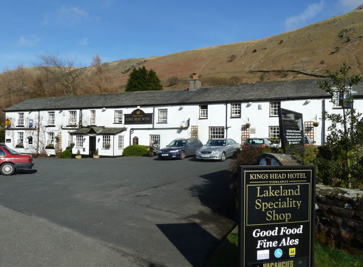
Kings Head Hotel
Close to the end of the walk, we popped in for very refreshing drinks.
Walkers: Neil Haslewood and Me.
Time taken: 5hrs 30mins over a distance of about 8 miles.
Route: Roadside parking, direct ascent of Helvellyn from Swirls car park, Helvellyn Summit, Whiteside, Raise, Sticks Pass, Stanah, Thirlspot and back to the car.
Weather and Conditions: Sunny and warm, occasionally breezy on the tops.
Greetings Count: This is a popular route up Helvellyn and so we met quite a few others and a good number on top. One party of four had been up the day before, but came again for better views. On the way down Sticks Pass, we only passed one couple.
Richard's Refreshment Review: The Kings Head offers a typical selection of drinks from the bar and also has a "Speciality" Lakeland Shop, maybe it's the prices that are special!
Holidays operated by hfholidays. Take a look through the link, it offered good quality accommodation and my booking through "Late Rooms" shows that you don't have to be a member to get a room. I felt like an imposter at breakfast when they realised I wasn't on one of their organised walks!
All photos copyright Richard Ratcliffe 2012 ©
Take me back to the start ....