
~High Street~
6th October 2012
My return to Lakeland after an absence of three months.
High Street Summit
Scroll down for photos and a description of the walk....
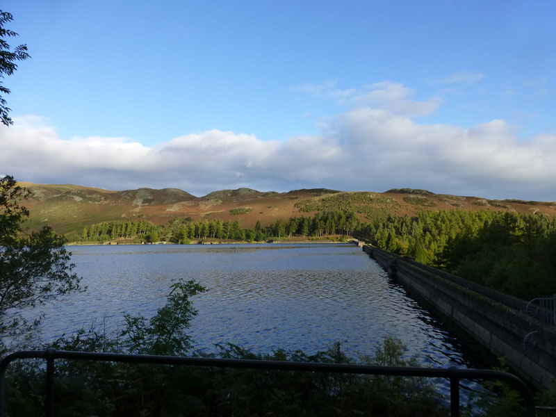
Haweswater Dam
I drove up from home to Mardale Head and just as I got close to the starting point, the clouds appeared! "They" said less cloud in the east and a greater chance of cloud-free summits to-boot. Hmmmm...
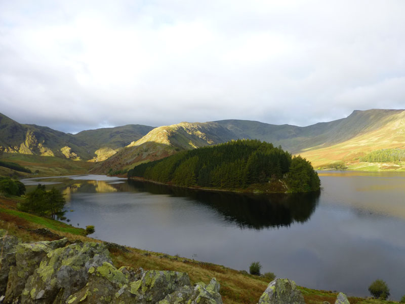
The Rigg
The Rigg is the wooded headland jutting into the reservoir. The last of the early morning sunshine catches the start of my route up to High Street - known as the "Rough Crag" ascent.
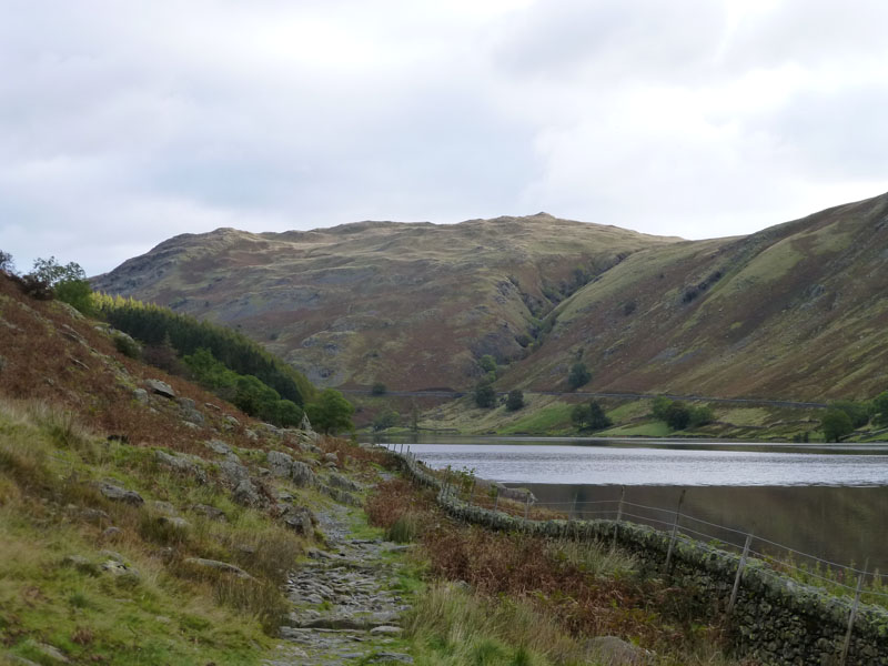
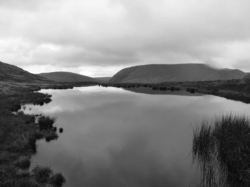
Haweswater
I set off from the car park at 09:10hrs and followed the path, as seen, until the option arises to take the ridge path.
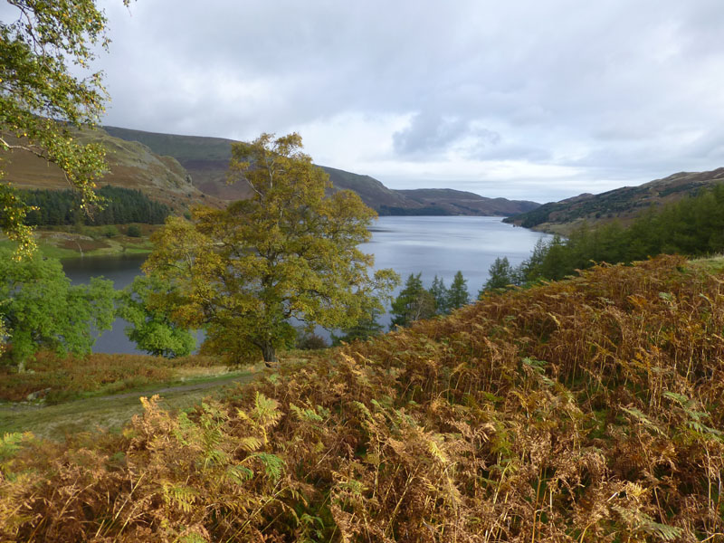
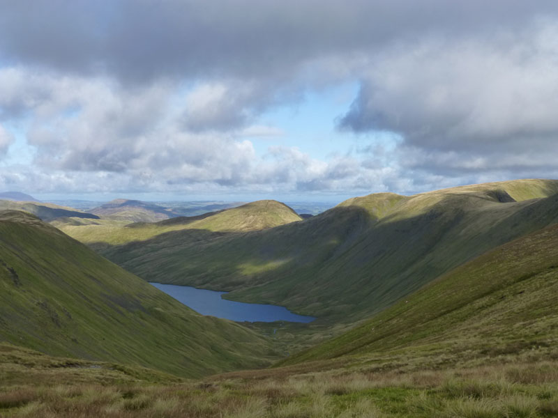
Autumn in Mardale
Lakeland's lost valley. Under-compensated residents; what would they have earned for their land and property in today's world?
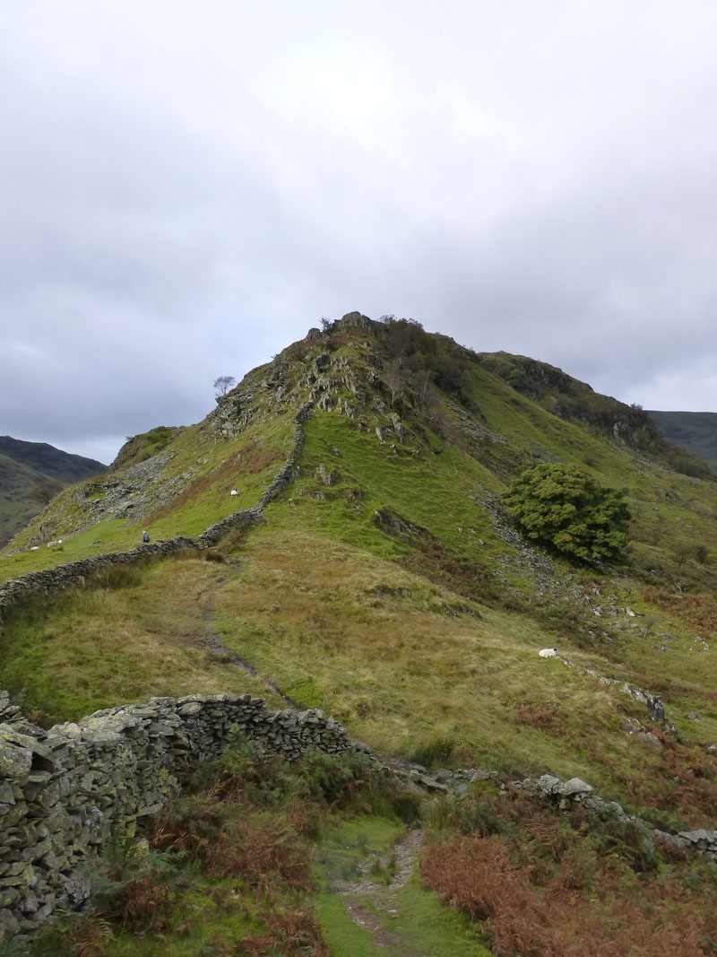
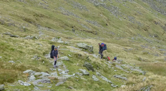
Rough Crag Ascent
Individual crags carry their own name: Swine, Heron & Eagle, this one being Swine.
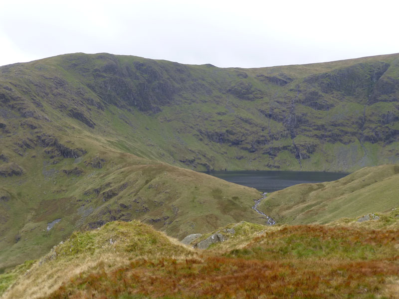
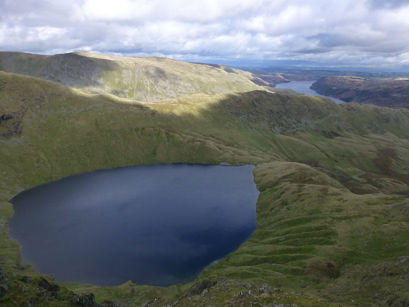
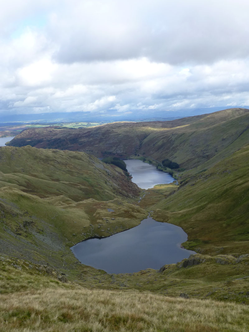
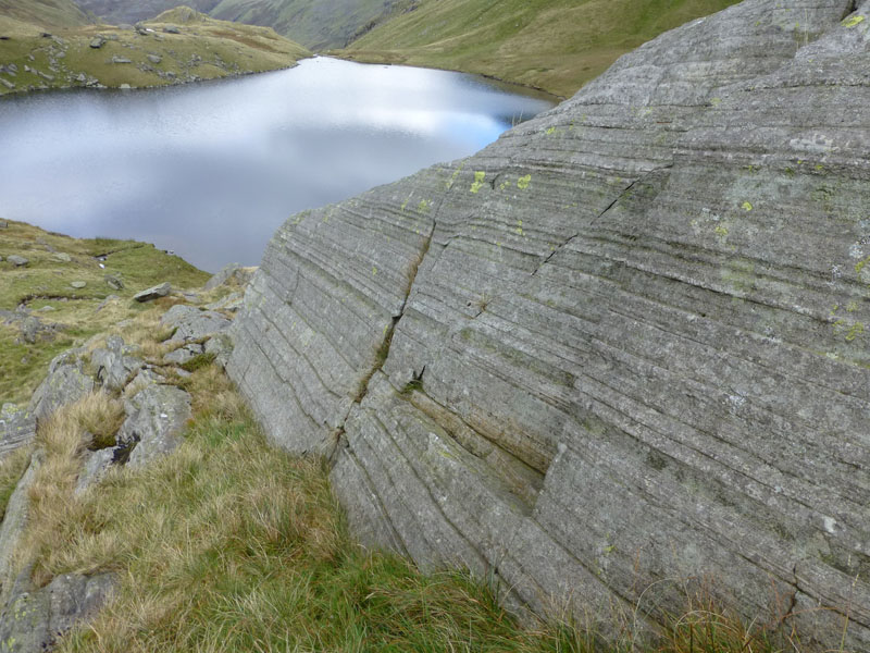
Blea Water
This is my first time up this ridge, Blea Water comes into view. More about Blea Water in due course.
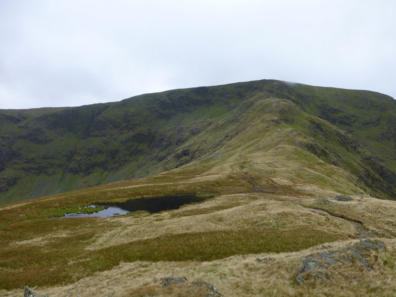
Caspel Gate
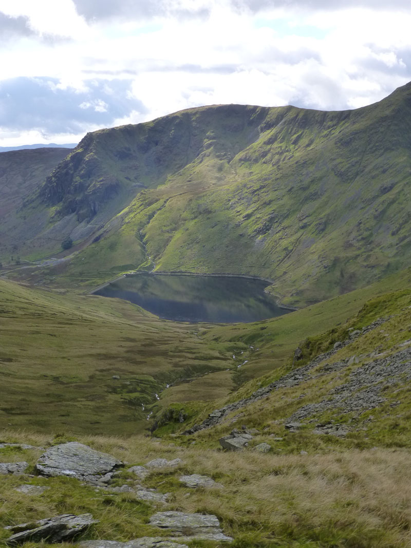
Low cloud just touches High Street. Wainwright asserts that Caspel Gate Tarn dries up in times of drought, we'll have to take his word for it.
Caspel Gate Tarn
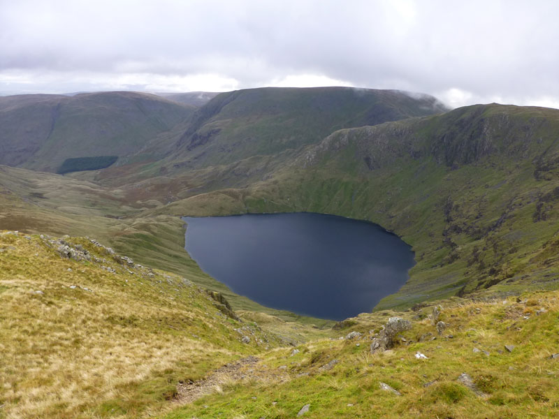
Blea Water
Blea Water is the deepest tarn in Lakeland and at 200ft deep, it is the third deepest body of water in the Lake District. You know that Wastwater is the deepest, have a little think about which is No.2.
Looking Down Rough Crag
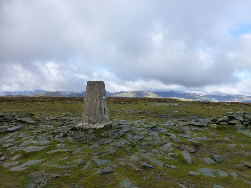
High Street
I reached the plateau in mist, but it soon lifted. I don't think I've ever seen this felltop so wet.
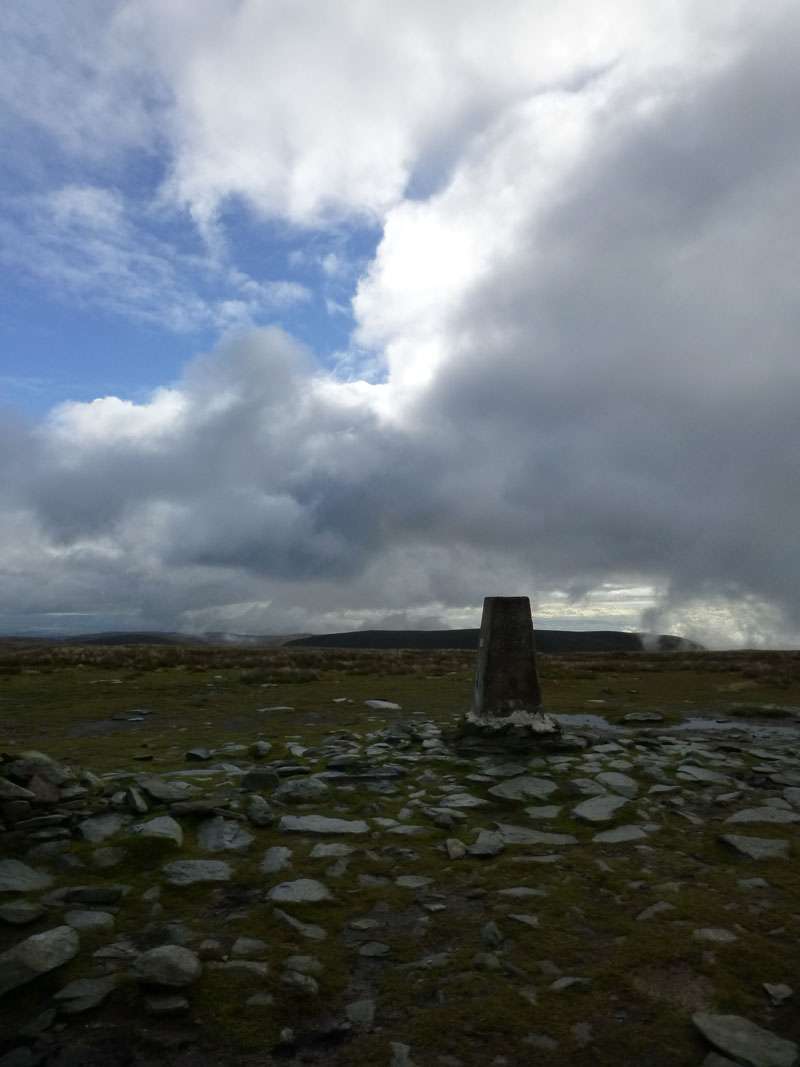
High Street Trig Point
The cloud is beginning to break and I need to decide where to go next.
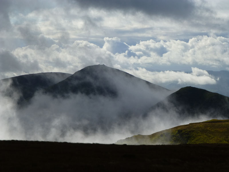
Eastern Fells from High Street
Looks good on Birks, less so on Helvellyn, but cloud in the right places can liven up views and photographs. I'm off to Thornthwaite Crag.
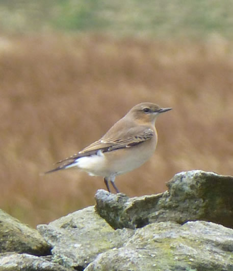
Wheatear
Presently, this is the only bird I seem to be able to get near enough to, to photograph.
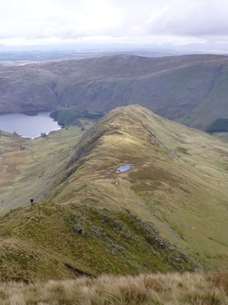
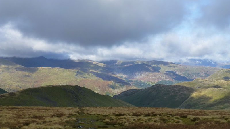
Fells of The Kentmere Horseshoe
Yoke, Ill Bell (centre) and Froswick are teased by the rising clouds.
 |
 |
Hayeswater |
Thornthwaite Beacon |
Thornthwaite Crag Views
After lunch at The Beacon, I chose a walk eastwards to Mardale Ill Bell.
Blea Water and Rough Crag
Second deepest is Windermere. Observe, if you will, the gullies cut into the glacial morraine (right of picture). Experts think that this was caused soon after deglaciation when there was lots of flood water from meltwater and little or no vegetation. I am half expecting the water to receed and reveal Ernst Blofeld's latest secret hideaway!
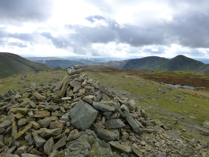
Mardale Ill Bell Summit
This fell is rarely climbed direct, correct me if I'm wrong. Nothing exciting happens on the ridge walk from Thornthwaite Crag. Underwhelmed, I'm heading for the top of Nan Bield Pass and therefore (you might expect) Harter Fell.
 |
 |
Small Water and Haweswater |
Kentmere Reservoir |
Upon reaching Nan Bield Pass, I decided not to ascend Harter Fell - lack of interest, I'm afraid. Fell fatigue? Dishartered? Hard one to explain, really, but I wasn't going to see anything new up there. Whereas a descent to Small Water would be all new.
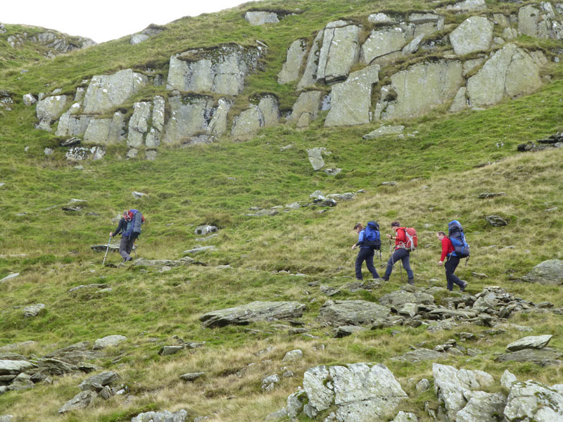
Five Go Bothying
Three of the four in view are known to me, after meeting them on the recent Snowdon walk. John, Jane and Anna plus the other two are aiming for Mosedale Cottage for an overnight stay. The guitarist is just out of shot, it had the making of a good night!
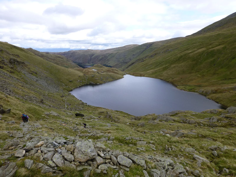
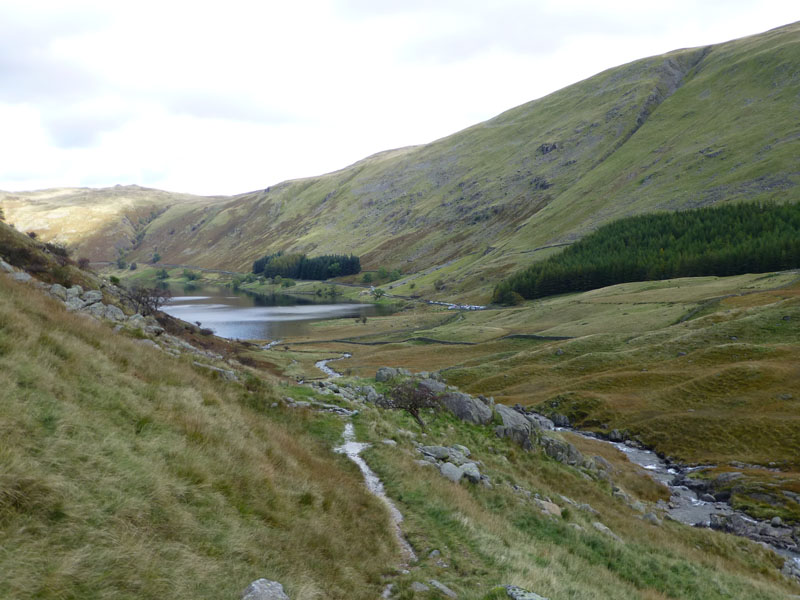
Small Water
 |
 |
Rock Patterns, Small Water |
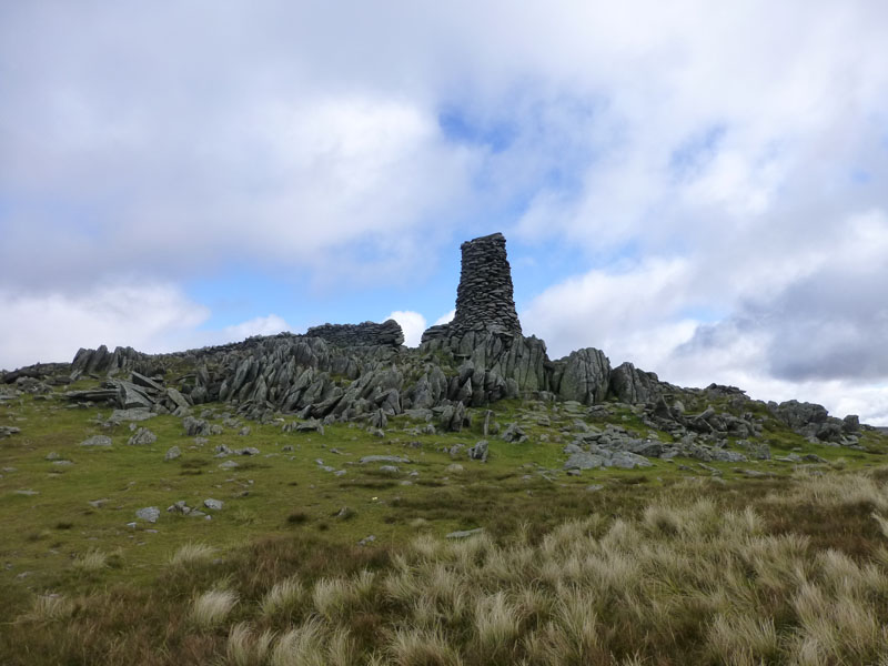
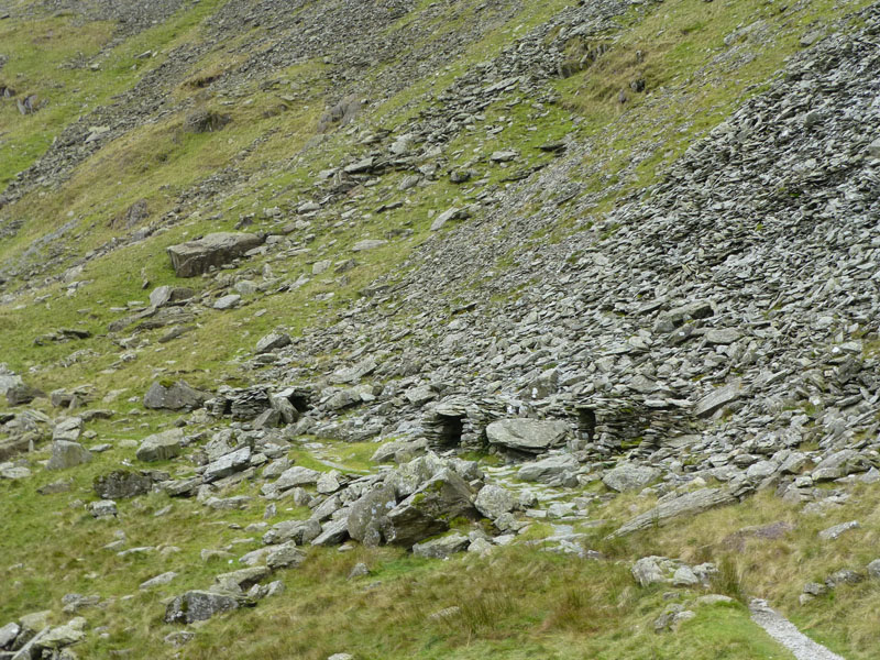
Quarry Shelters |
 |
 |
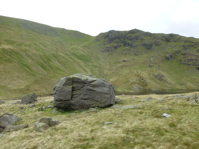
Boulder at Small Water |
Mardale Waters |
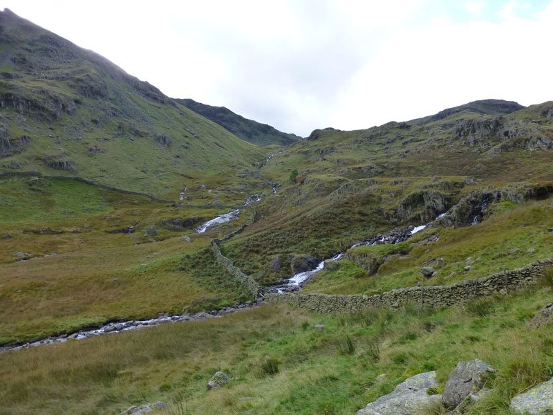
Walk Views
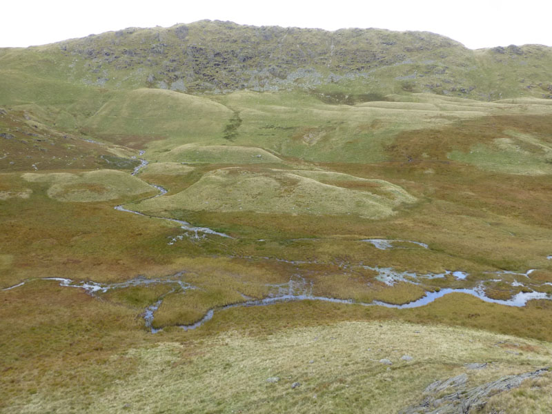
I left the Nan Bield Pass and went to have a look at Mardale Waters, a boggy hinterland between the Rough Crag route and the Pass.
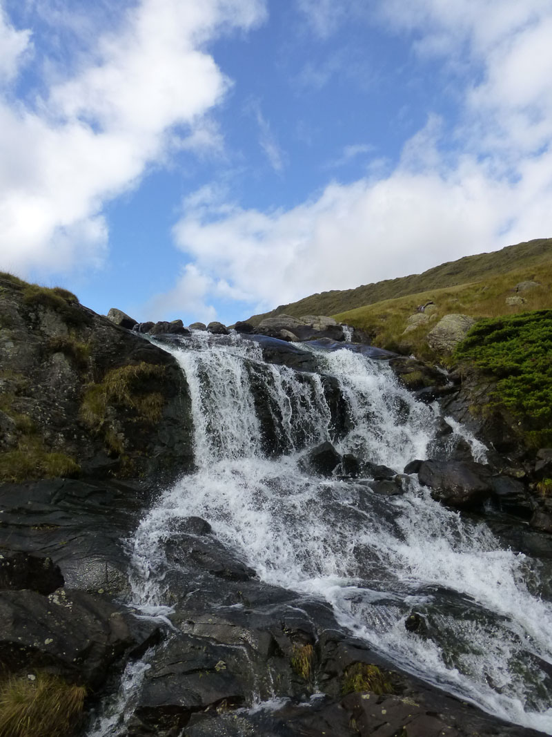
Falls in Blea Water Beck
 |
 |
Blea Water Beck |
Mardale Beck |
~~~~~
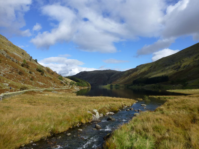
Haweswater
Back to the start and much better weather now than at the onset.
Walkers: Just Me.
Time taken: 4hrs 50mins over a distance of about 8 miles.
Route: Mardale Head, Rough Crag Ascent to High Street Summit, Thornthwaite Crag, Mardale Ill Bell, Nan Bield Pass, Small Water, Mardale Waters, Blea Water Beck, Mardale Beck, Mardale Head.
Weather and Conditions: Dull start, gradually brightening and finishing in pleasant sunshine.
Greetings Count: Three other walkers chose the same way up at the same time. Generally quieter than I expected on the Kentmere Horseshoe and then the pleasant surprise of meeting the bothiers on the way down.
Richard's Refreshment Review: Nothing to report.
Comments on this walk and the following day's walk will be invited after the second report is written up.
Rock Guitarist!
All photos copyright Richard Ratcliffe 2012 ©
Take me back to the start ....