
~Moel Famau~
8th September 2012
All change for the third of three walks in North Wales. Away from Snowdonia and a good portion of the way home for a walk from Loggerheads Country Park, nr.Mold, Denbighshire
Moel Famau Summit
Scroll down for photos and a description of the walk....
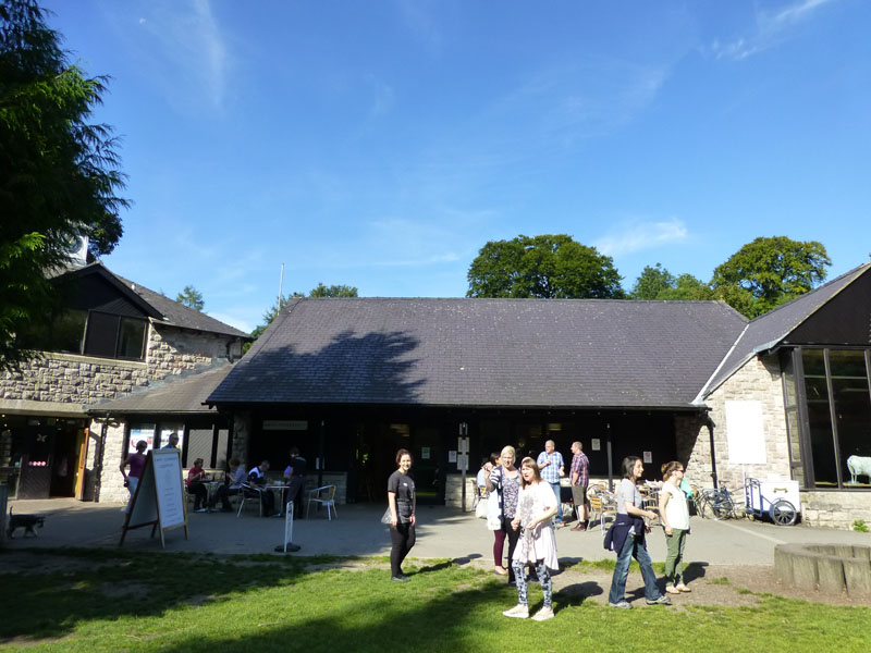
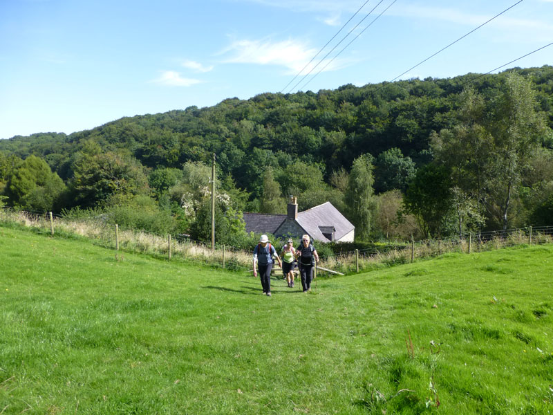
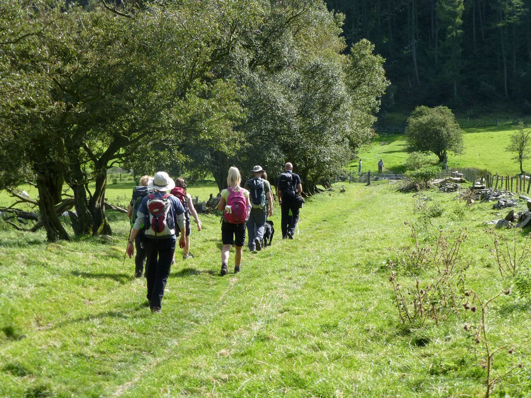
Loggerheads Country Park
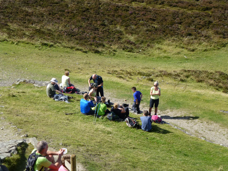
A group walk today. Nine adults and two youngsters, an assortment of headgear, plenty of yellow shirts, a dollop of suncream and away we go. First stop will be the limestone headland overlooking the way ahead.
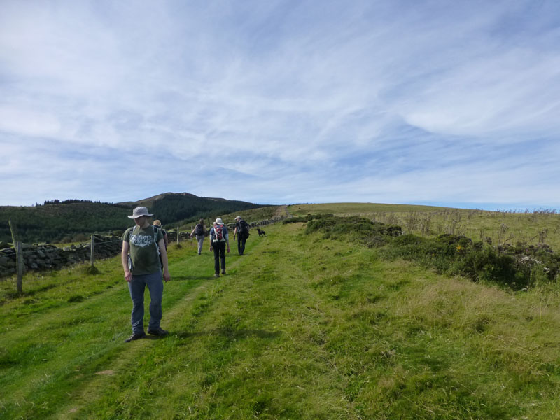
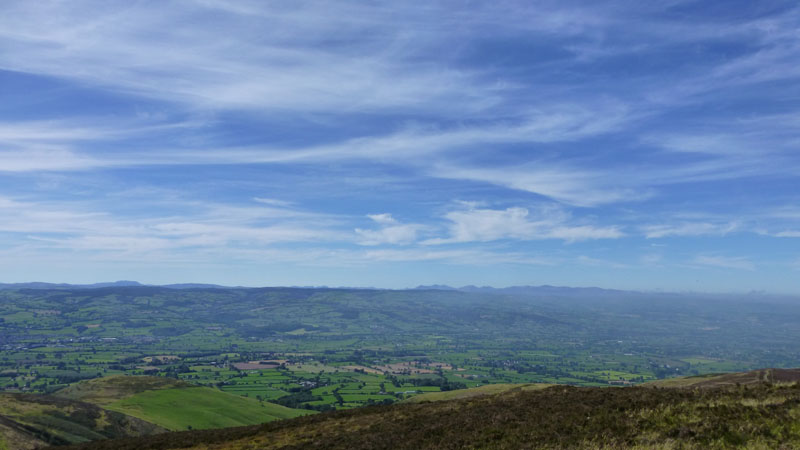
Moel Famau
The lofty perch in the centre is our primary target. Moel Famau is the highest point in the Clywdian Range of Hills.
 |
 |
Looking over Loggerheads Country Park |
Starting The Climb |
A very warm day, maybe the warmest walk I've had this year.
Grassy Climb Up Moel Famau
This is our party on the long, easy ascent of Moel Famau. Simon (floppy hat) appears to have chosen to walk up backwards.
 |
 |
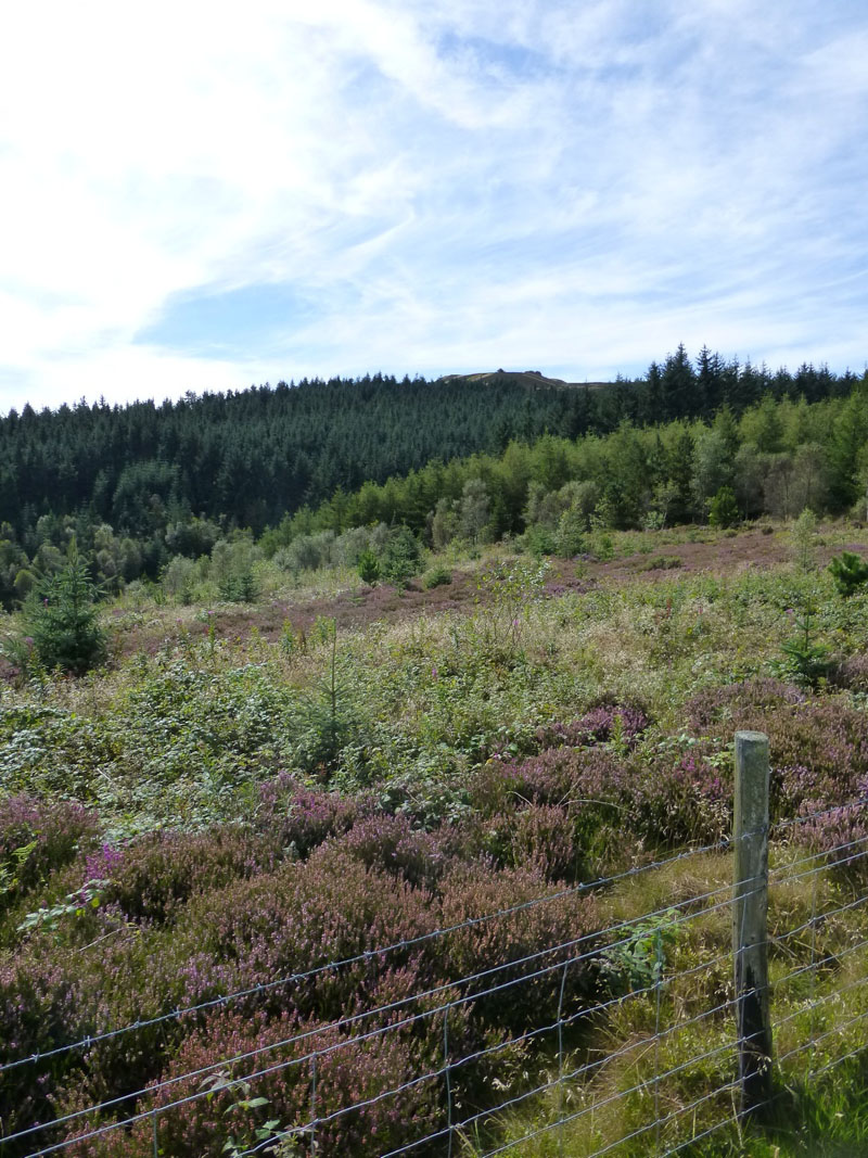
Heather in Bloom |
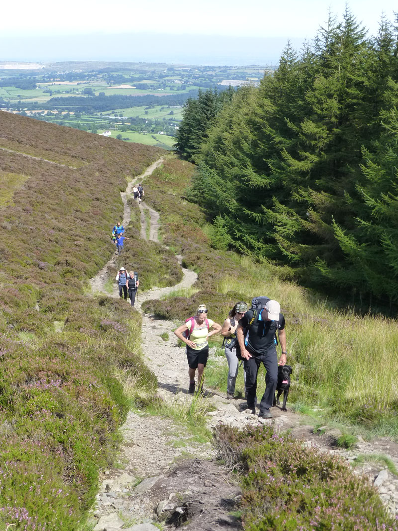
The Final Ascent |
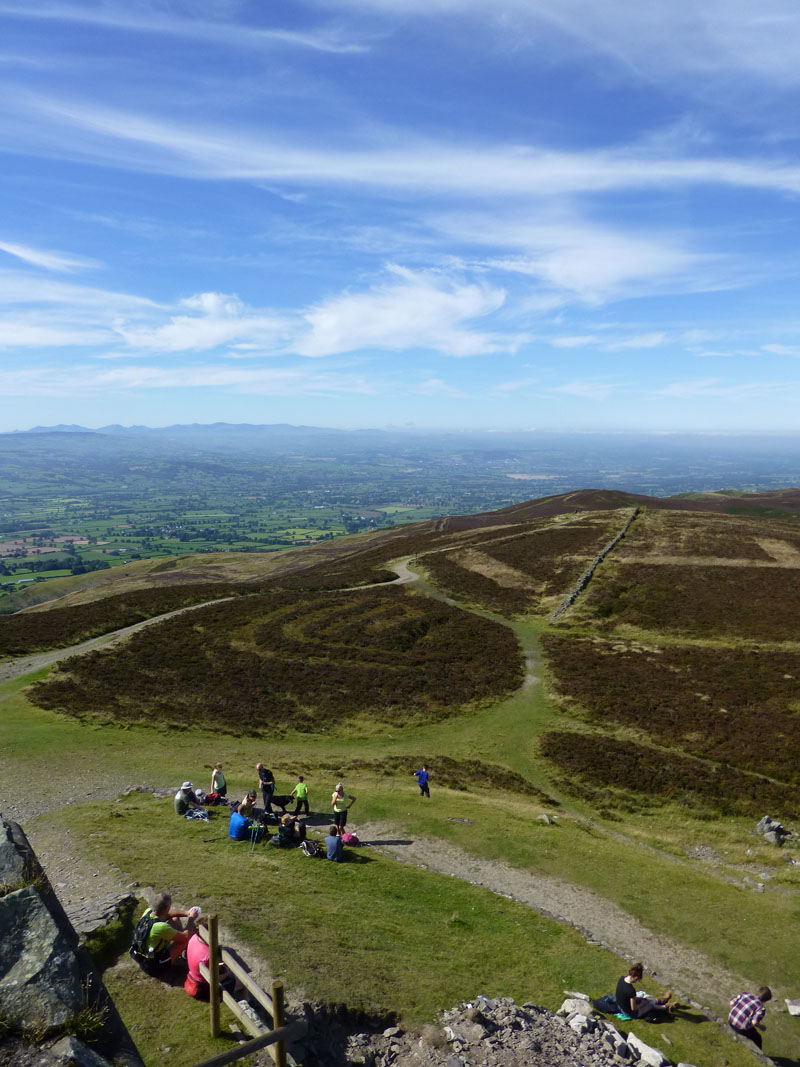
Our route takes us to the right of, and then around a plantation.
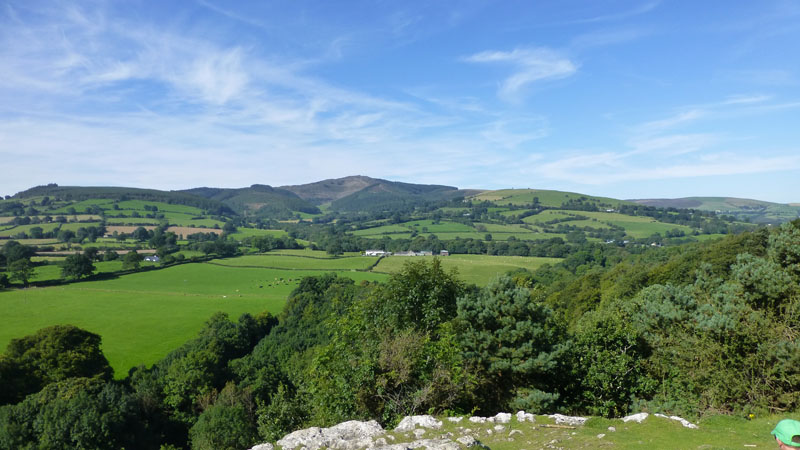
Snowdonia
A very clear view of the Welsh Mountains of Snowdonia (centre/right).
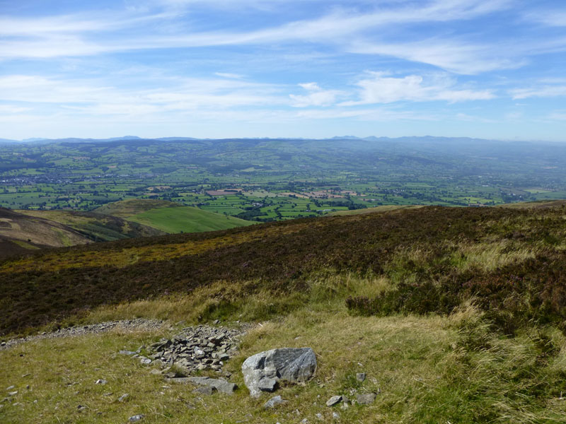
Vale of Clywd
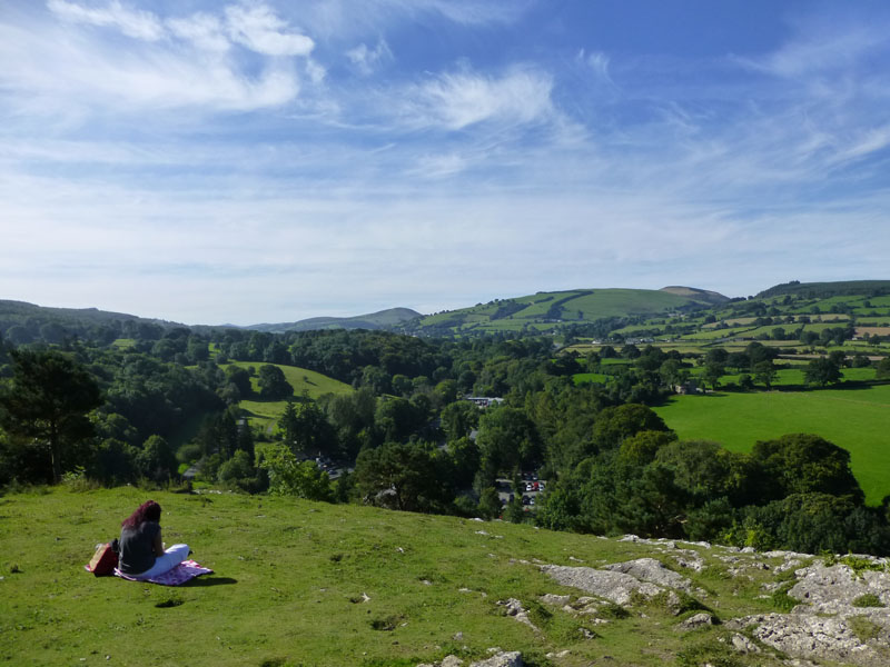
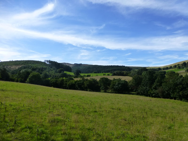
Much the same as the previous photo, but with less sky and more ground.
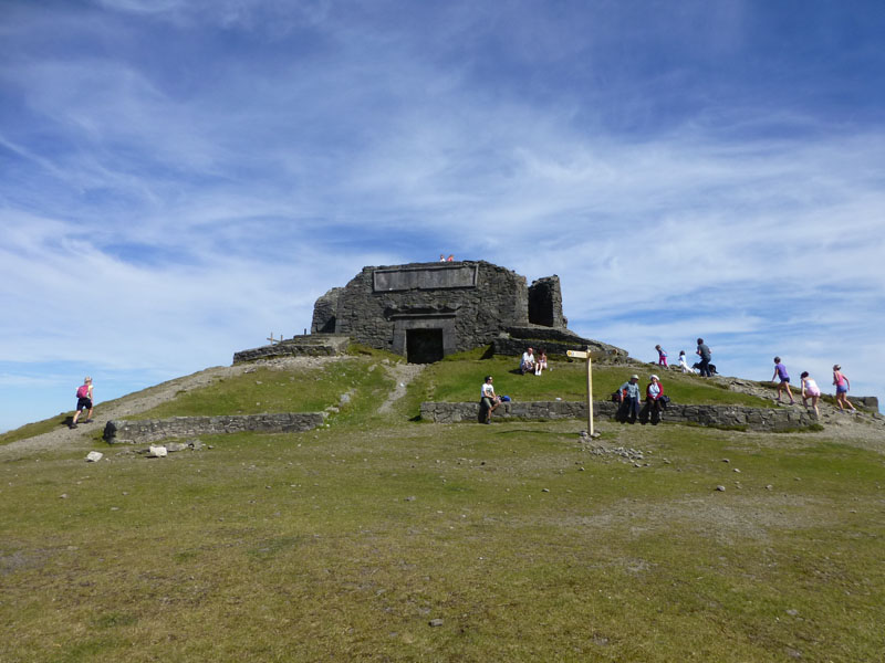
The Jubilee Tower, Moel Famau
The building of the structure commenced in 1810 to commemorate the Golden Jubilee of George III. Unfinished due to lack of funds, the incomplete tower was badly damaged during a storm in 1862 and all unsafe parts removed.
Looking South from The Jubilee Tower
Our Walking Party
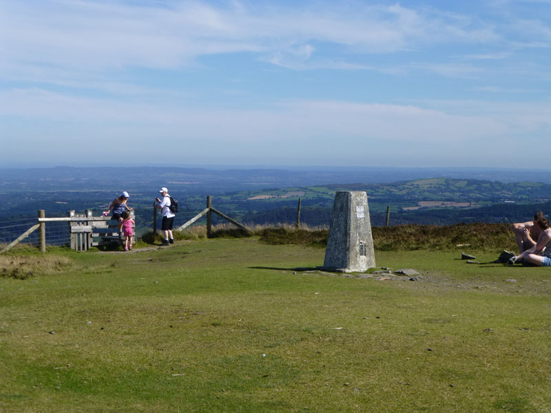
We sat here for an unfeasibly long time, debating the Clywdian Way options, the locations in view and many other important matters.
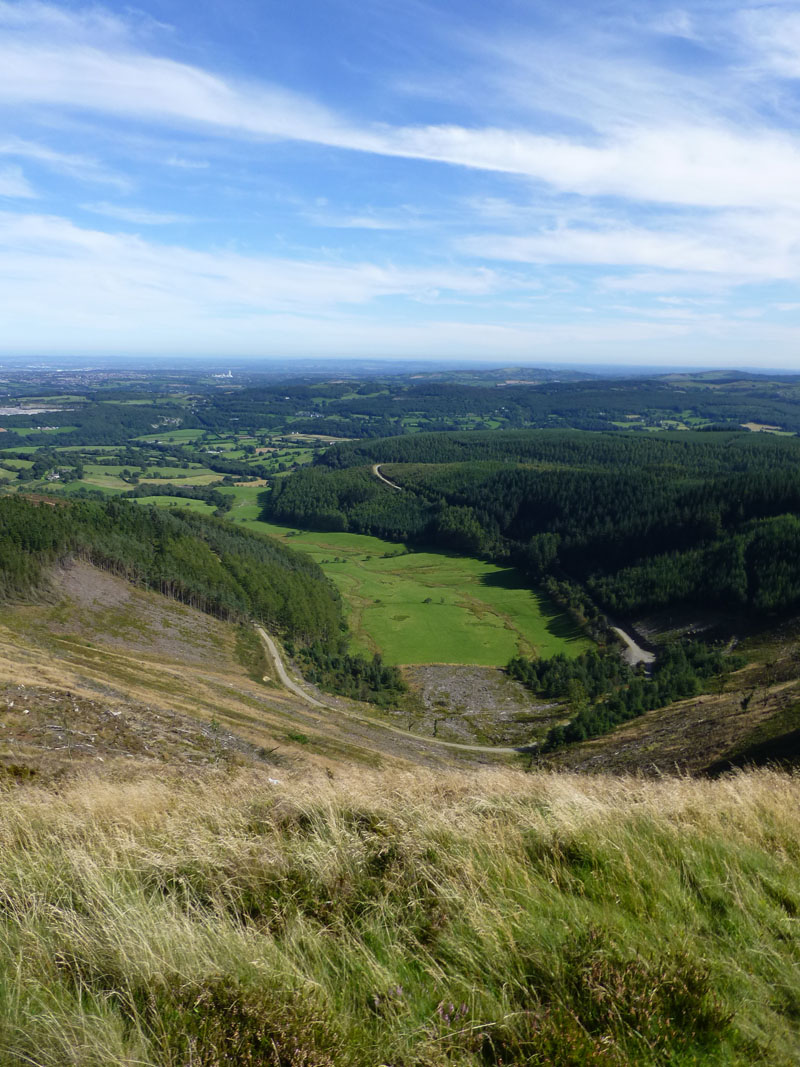
Longer View from The Tower
Some of the neighbouring hills housed Iron Age forts.
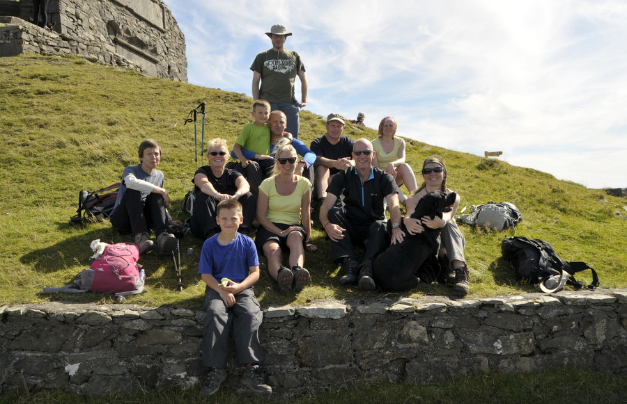
The Walkers
Moel Famau (Hill of The Mothers) Trig Point 1,818ft asl.
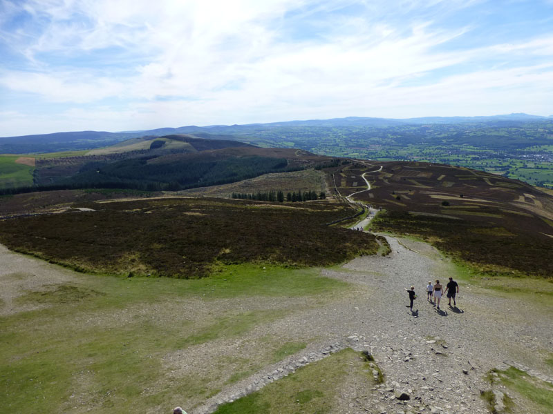
The Return Route
The way back to Loggerheads is along the winding track seen above, climbing through the forest after leaving Moel Famau.
~~~~~~
~~~~~
~~~~~
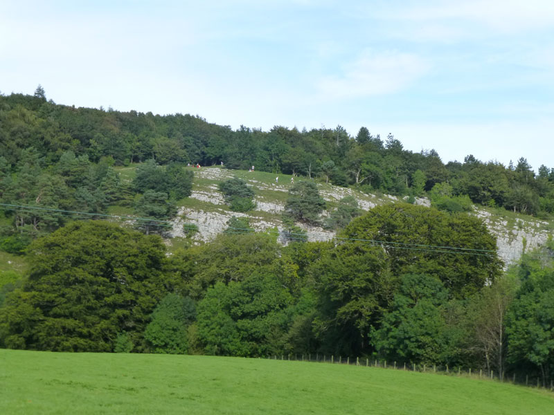
Limestone
That's where we stood to get our first view of Moel Famau.
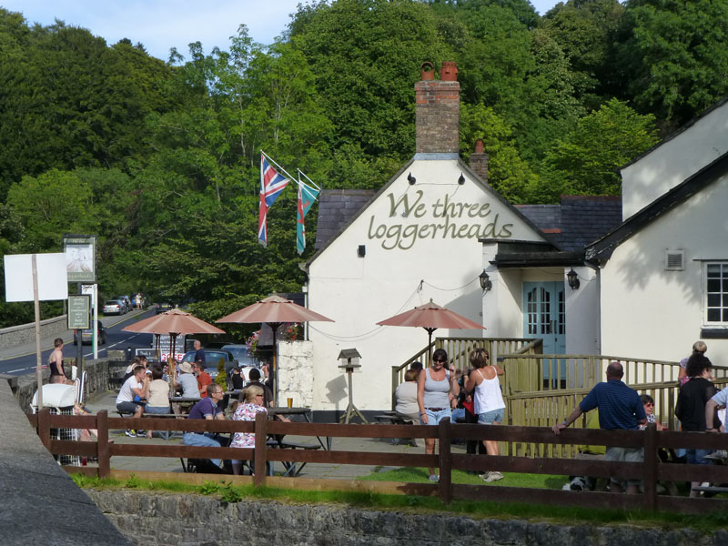
We Three Loggerheads
And time for some liquid refreshment.....
Viewers may note a lack of depth in this report. I don't possess the OS map for this area and therefore don't know the names of everything on view. Furthermore, I deleted all the photos off the camera's memory card before putting them on the computer. I recovered most of them, using free downloaded software, but lost a few. All a bit beyond me, I'm afraid.
Walkers: In no particular order...Gary & Sharon with Holly the Dog, Jeanette, Rita, t'other Sharon, Tracey, Simon, Karl and his two boys and me.
Time taken: Longer than it should have done over shorter than it might have been. The joys of warm "summer" walking! About 6 miles.
Weather and Conditions: Warm and Sunny.
Greetings Count: Well populated territory.
Richard's Refreshment Review: Cool drinks in the garden at We Three Loggerheads. Fine setting, but busy road to cross (twice).
Gary's Photo Album ~ this is a Facebook Album and may not be available to those without a Facebook account.
All photos copyright Richard Ratcliffe 2012 ©
Contact Me via email - If you don't use "Outlook", just read the email address and send me a message from your usual email facility. Comments might be published, please tell me if you don't want that to happen and I will also edit messages if they contain personal stuff that the world doesn't need to see. Hover your pointer over the link and the target might appear in the bottom left of your screen.
Take me back to the start ....