
~Broom Fell~
19th April 2013
Walk One from a two-night stay in Braithwaite. Broom Fell's summit, according to Wainwright, holds little of interest and nothing to justify a special visit. So maybe I'm wasting my time.
North Western Fells
Scroll down for photos and a description of the walk....
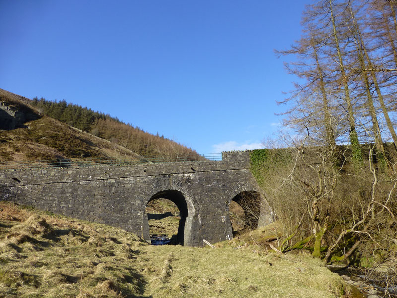
Scawgill Bridge
I parked on the roadside at Scawgill Bridge and walked up the road for a third of a mile to take the forest road past Darling How (farm).
 |
 |
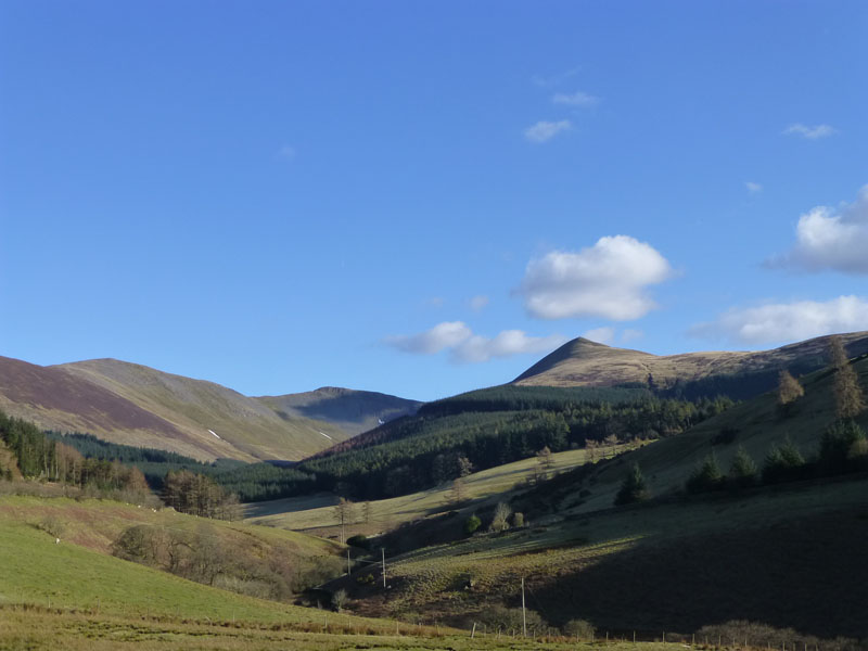
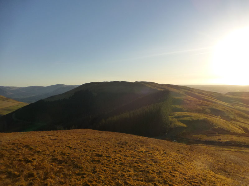
Ladyside Pike |
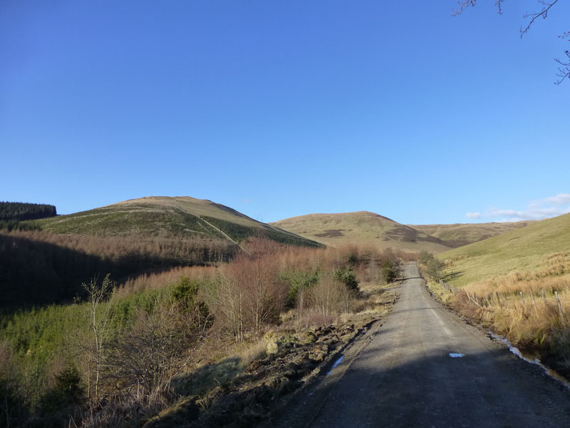
Forest Road |
The short walk up the road was interesting. At some time in the recent past a vehicle has left the road and plunged down towards Blaze Beck and would appear to have been halted by a tree (now damaged). Ladyside Pike appears to be worthy of the "full treatment", but AW gave it a miss; perhaps it's just too close to Hopegill Head (out of sight).
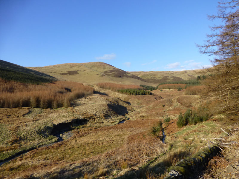
Aiken Beck
The path leaves the forest road and heads for the wall which runs up to the summit of Broom Fell, now in full view.
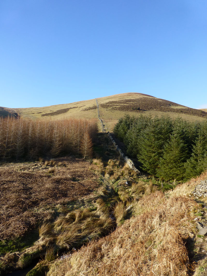
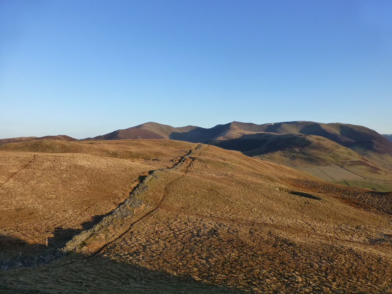
Broom Fell Wall
The path follows the wall. Or does the wall follow the path? Wainwright was puzzled: "...the odd thing is that it is a perfectly straight wall throughout its length, enclosing nothing, defending nothing, sheltering nothing, marking nothing and abviously of little value because it has fallen into disrepair."
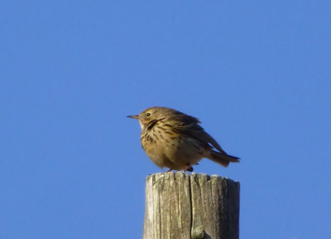
Meadow Pipit
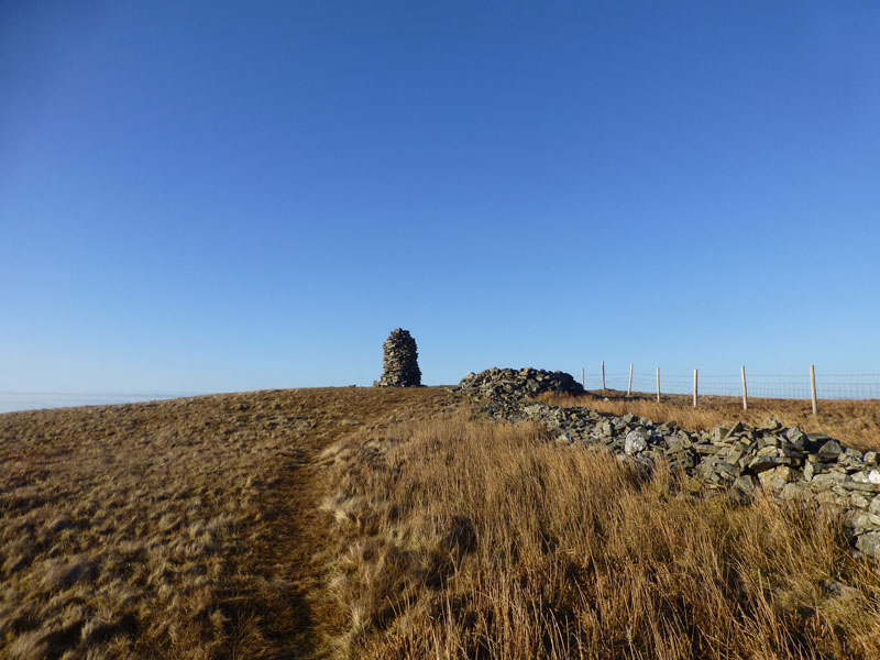
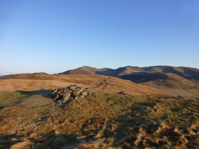
Broom Fell Cairn
I'm reluctant to call it "Broom Fell Summit" as the highest point is a few feet away to the south-east. Someone has built a fence to follow the line of the abandoned wall, I wonder if the fence has any purpose?
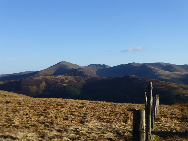
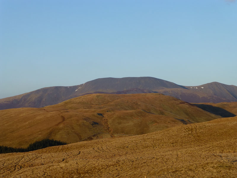
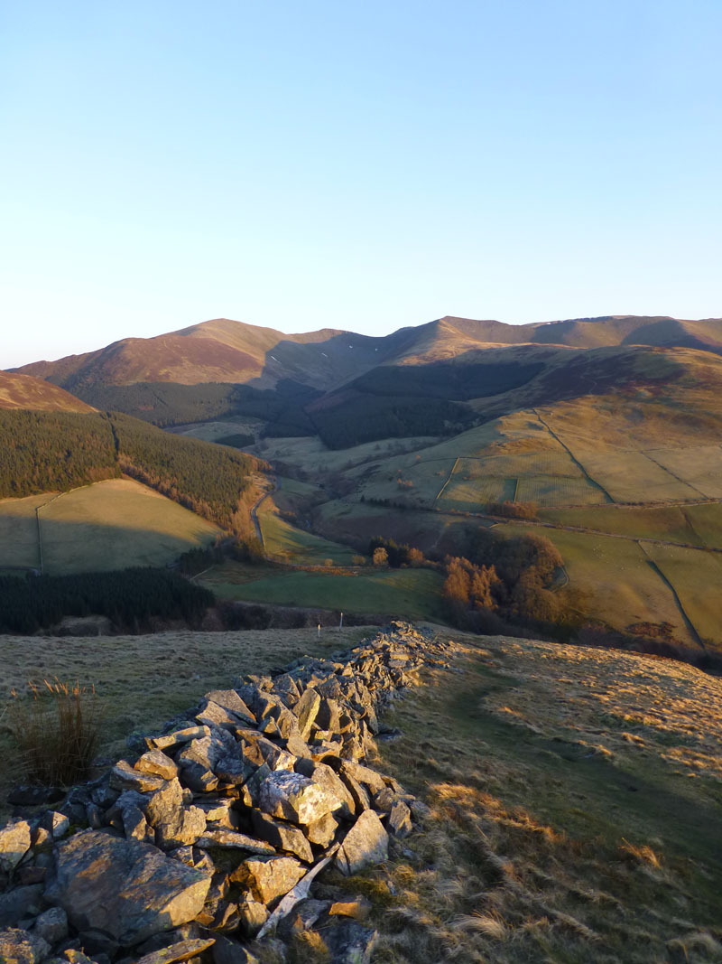
North Western Fells from Broom Fell
Graystones
I'd timed the walk for a view of the setting sun and the short walk to Graystones, across Widow Hause, will be a pleasure in the evening sunlight. Needless to say, there is nobody else around.
Broom Fell from Graystones
Wall on Graystones
Wainwright points out that only the summit is called "Graystones" and that its position is not in doubt. The fell, to which Graystones belongs, is Kirk Fell. As for the position of the highest point, I interpret that the OS point "456" is likely to be, and looks to be, the highest point and this is not where AW put his x. If the summit takes the title of the fell for the purpose of guidebooks, should not Steel Knotts (Far Eastern) be known as "Pikeawassa"?
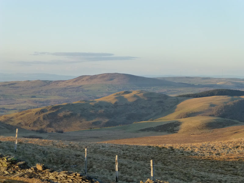
Sale Fell and Binsey
From Graystones, Sale Fell is in the middle ground and Binsey is further away.
Graystones Summit
Looking towards Point 456. Brown spot heights on OS maps are the result of aerial survey and are quoted in metres above sea level.
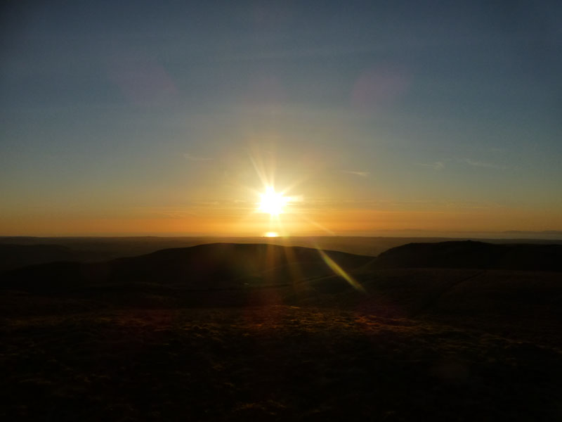
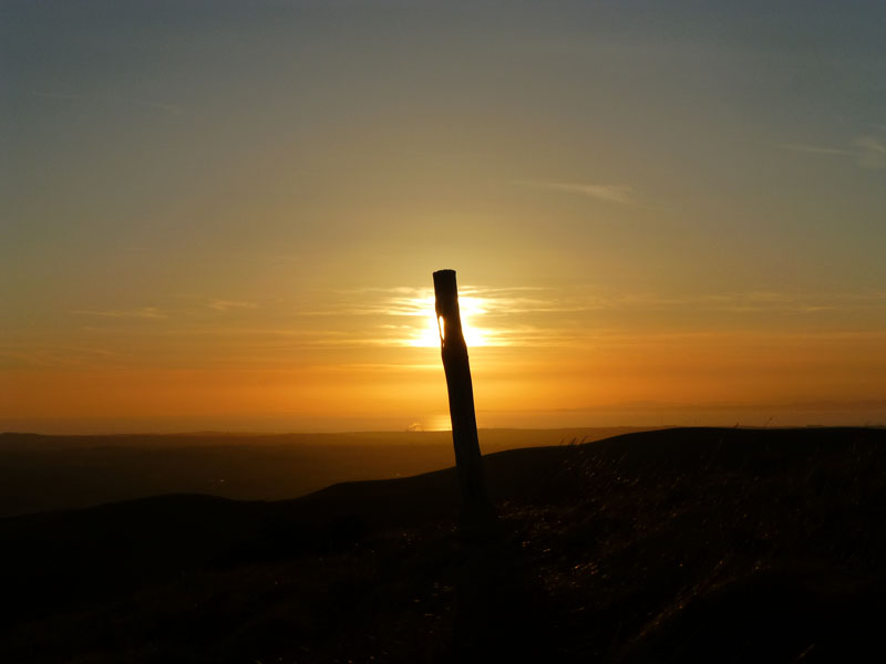
Sunset from Graystones
 |
 |
Two More
All there is left to do is take the quick route back down to the car - a 900ft descent over three quarters of a mile, or one-in-four (ish), but essentially...very steep!
Graystones Descent
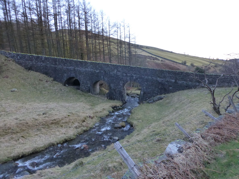
Scawgill Bridge
Walkers: Just Me
Time taken: 2hrs 15mins over a distance of about 5 miles.
Route: Scawgill Bridge, Forest Road past Darling How, Broom Fell wall, Broom Fell Cairn and Summit, Widow Hause, Graystones, Point 456, steep descent back to Scawgill Bridge.
Weather and Conditions: Sunny and warm uphill / cool on top.
Greetings Count: Nil.
All photos copyright Richard Ratcliffe 2013 ©
Contact Me via email - If you don't use "Outlook", just read the email address and send me a message from your usual email facility. Comments might be published, please tell me if you don't want that to happen and I will also edit messages if they contain personal stuff that the world doesn't need to see. Hover your pointer over the link and the target might appear in the bottom left of your screen.
Take me back to the start ....