
~High Raise to Beda Fell~
29th December 2013
A brief opportunity to get out for a walk in the Lake District. The very wet and windy weather is not ideal for this kind of activity, expect wet ground!
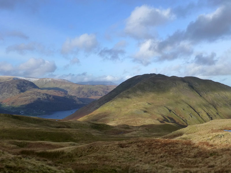
High Street from Rampsgill Head
Scroll down for photos and a description of the walk....

Dull
I started walking from Martindale New Church at 08:20hrs and it was very gloomy, with steady drizzle greeting my first steps. This shot on auto-exposure was 1/5 sec.
 |
 |
The Nab dominates the view into the area known as Martindale. It's the one Wainwright Fell that you are not currently allowed to climb directly, due to it being part of the Red Deer Conservation area. In AW's day it was also out of bounds to walkers, perhaps it would have better all round if he hadn't included it in his guide and we all viewed it from a distance and treated it and the wildlife thereon with the utmost respect.

Deer (presumably Red)
My route took me over Brownthwaite Crag and across rough ground to the left of Gowk Hill and up to Keasgill Head. Left turners would easily find Wether Hill summit, but I was looking for High Raise and that's to the right at the watershed.

To High Raise
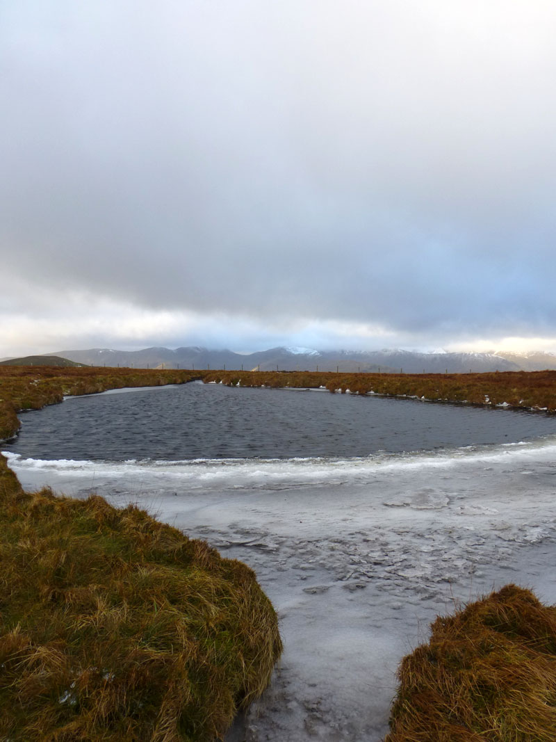
Red Crag Tarn
The prevailing westerlies have pushed the ice across the tarn, it's quite cold up here today!

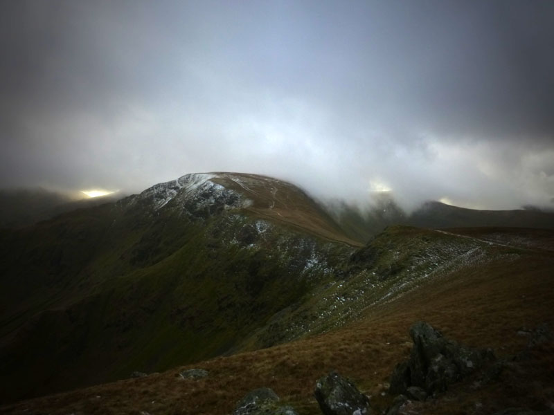
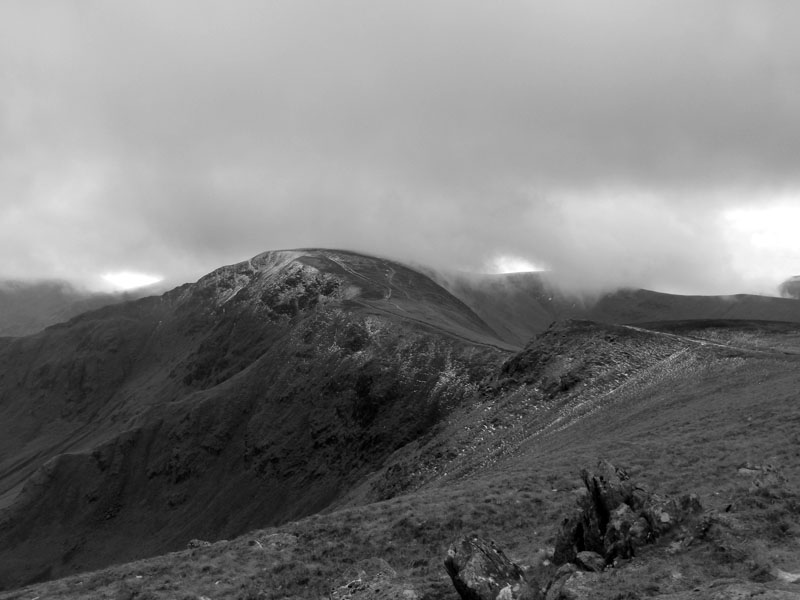
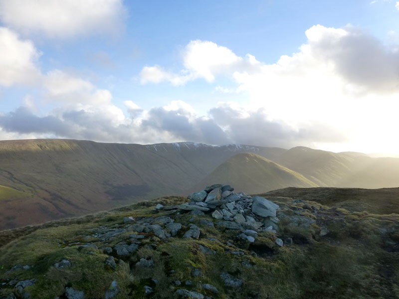
High Raise
 |
 |
High Raise (2,634ft) summit boasts a cairn and a shelter, both made from the plentiful local stock of stones. To the west, a light snow shower is heading this way from Patterdale. Generally it's undulling or, if you like, brightening.

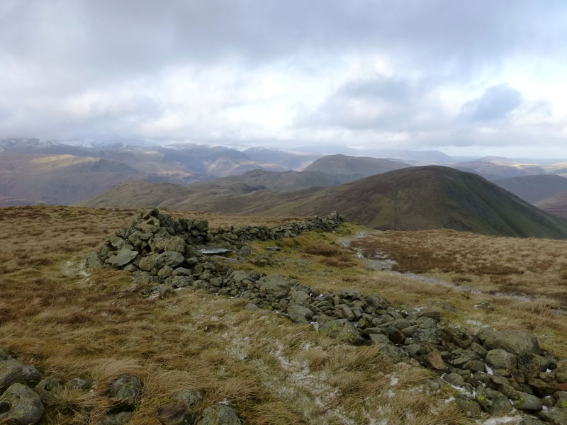
Rampsgill Head Summit 2,581ft asl
With no significant uphill effort, the next summit is reached.
High Street
 |
 |
The Knott, 2,423ft asl |
Wall to Rest Dodd |
The Knott is another summit reached with minimum effort and here I met the first of the other fellwalkers that were out and about today.
 |
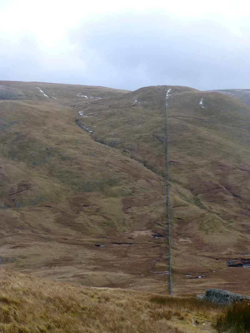 |
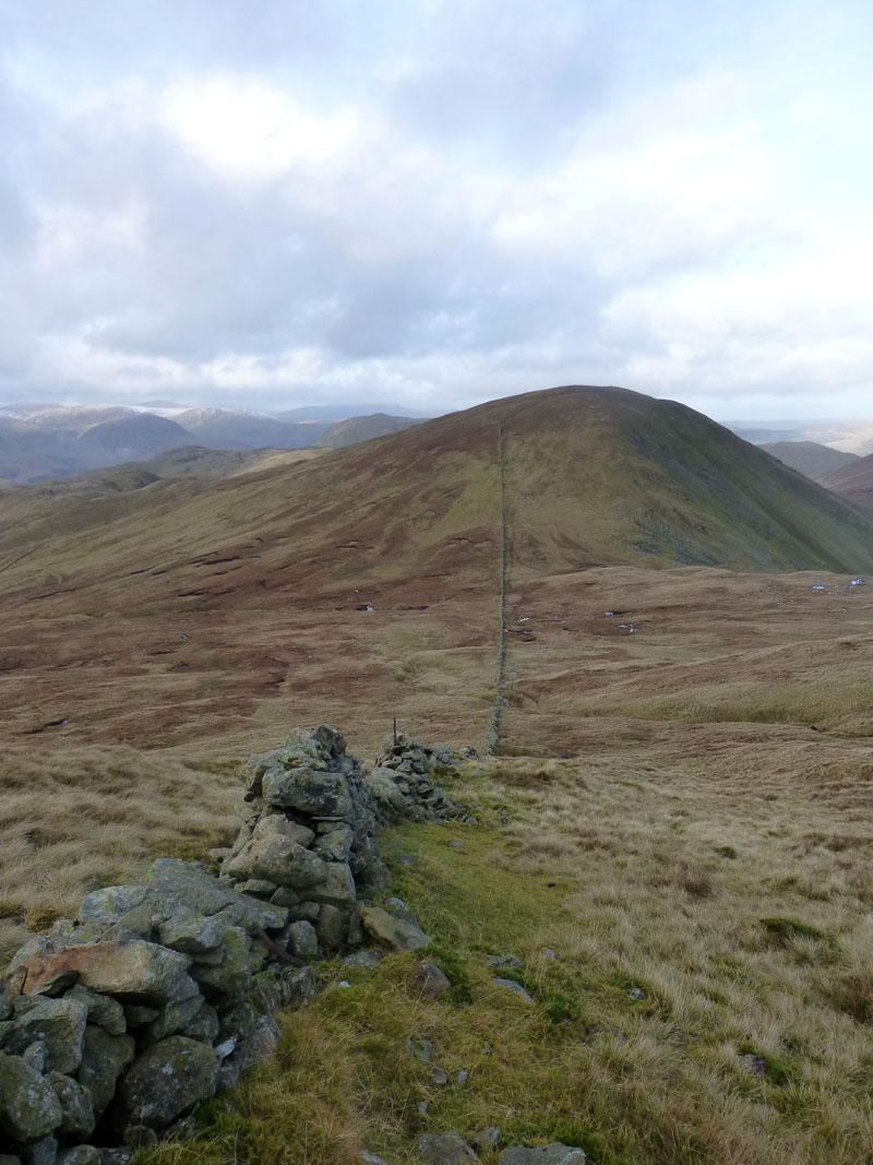
Rest Dodd from The Knott |
The Knott from Rest Dodd |
Two views of the straight line from The Knott to Rest Dodd and the boggy bit in the middle. The landscape would look very different without the walls, not just because the walls wouldn't be there, but also because the rocks would still be part of that landscape.
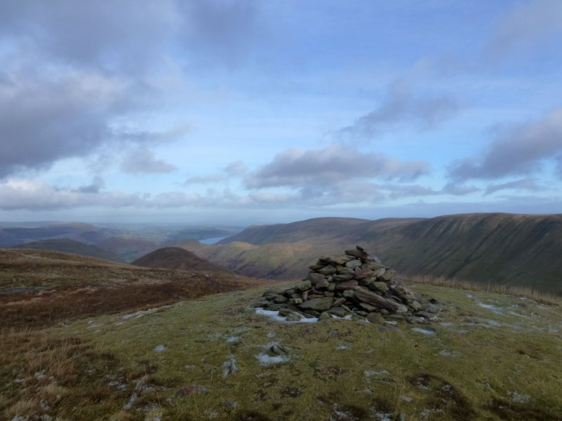
Rest Dodd Summit, 2278ft asl
The weather has certainly picked up now and the views to the north are opening up. The head of The Nab is seen to the left of the summit cairn. Next up is a route to Angle Tarn.
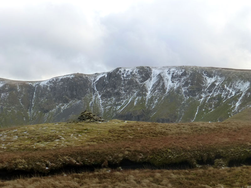
Rampsgill Head from Rest Dodd
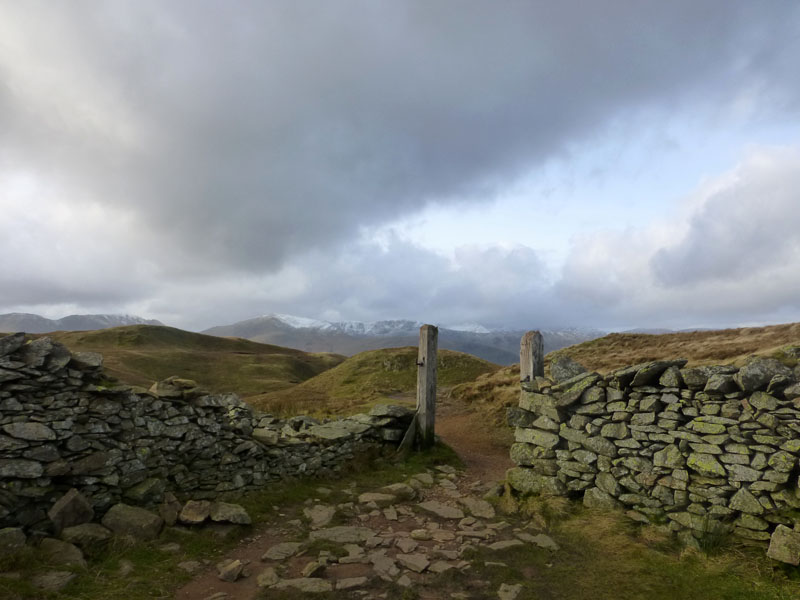
The Gate on Satura Crag
Or rather where the gate used to be. The little bit of white between the posts is Catstycam.
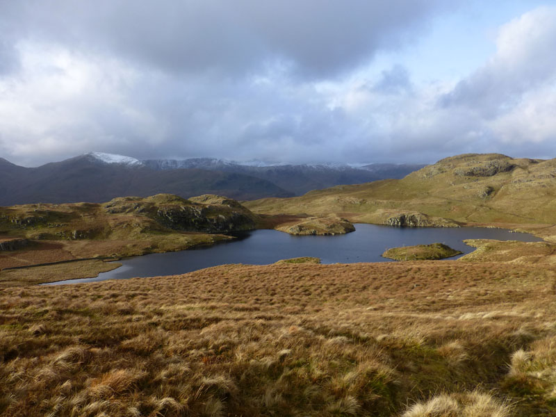
Angle Tarn
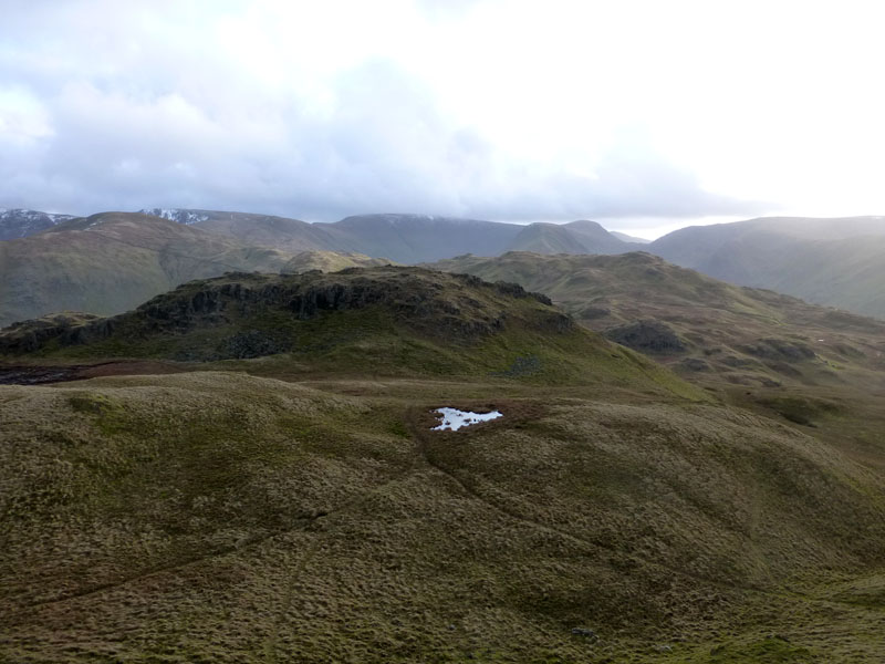
Angletarn Pikes, 1,857ft asl
I'm stood on the slightly higher northern top of Angletarn Pikes, looking towards the southern top. Lunch was taken just under the northern pike in a sheltered spot, with views towards Beda Fell.
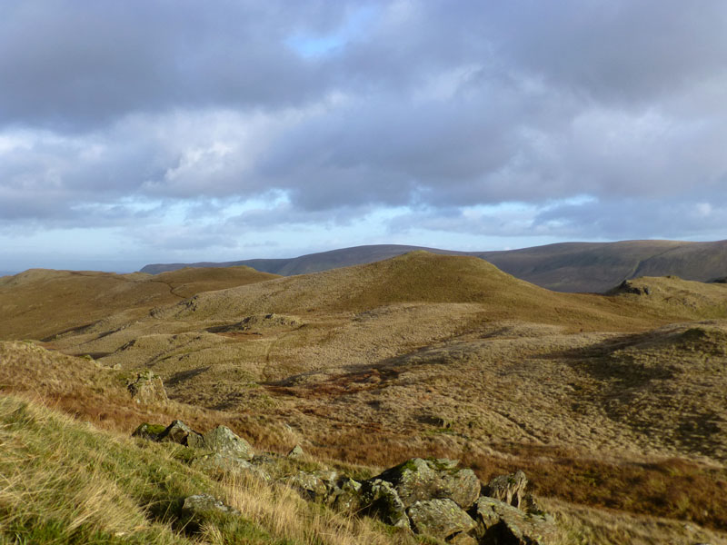
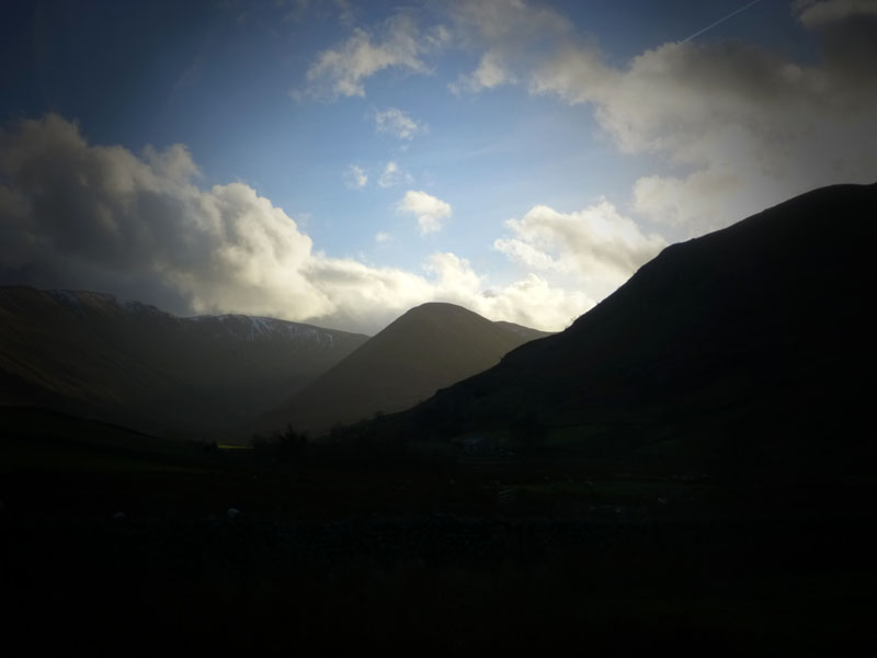
To Beda Fell
The long spine of Beda Fell extends over to the left of this lunchtime view and the route is occasionally visible. It's two miles to the "Wainwright" summit of Beda Fell.
Place Fell

Beda Fell
The sunlit Bedafell Knott might do for some folk, but the only ascents in Wainwright's Guide come from the north and reach Beda Head, the summit of Beda Fell.
Beda Head 1,664ft asl

Boardale, or Boredale?
Named after wild beasts, or maybe boring folk, or possibly beer that has lost its zest for life. That's not a tarn, it's a flood. I didn't proceed as far as Winter Crag, preferring to take a sharp descent into Martindale to cross Christy Bridge and return to the parking spot.

Howegrain Beck
The Nab
 |
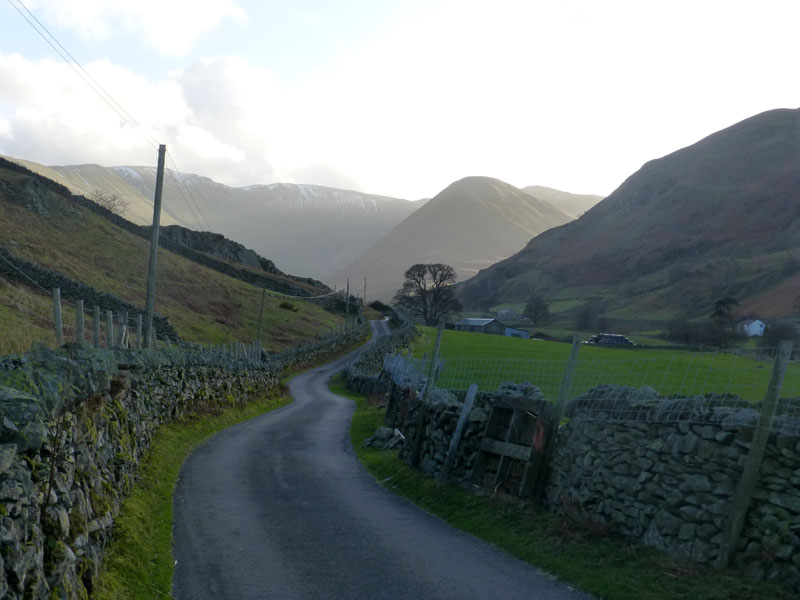 |
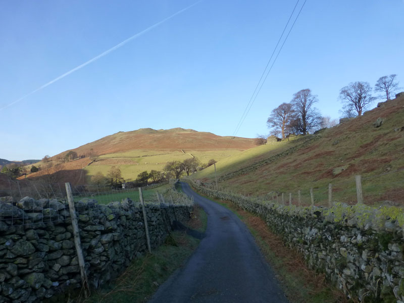
Back on the lane where the walk started. Hallin Fell is ahead and looking back, auto-exposure called for 1/200 this time.
Walkers: Just Me.
Time taken: 6hrs 10mins over a distance of about12 miles; 3,430ft of ascent.
Route: Martindale New Church, Brownthwaite Crag, Keasgill Head, Red Crag, High Raise, Rampsgill Head, The Knott, Rest Dodd, Satura Crag, Angle Tarn, Angletarn Pikes, Bedafell Knott, Beda Fell (Beda Head), Christy Bridge and back to the car.
Weather and Conditions: Dull and drizzly to start, slowly improving as the day went on.
Greetings Count: First folk seen three hours into the walk on The Knott and then I passed plenty of folk around Angle Tarn.
ps Jo Hall and her dogs arrived at the car park and climbed Hallin Fell; it would have been rude of me not to head up there and greet them, so I dumped the rucksac in the car and added Hallin Fell to the day's tally.
All photos copyright Richard Ratcliffe 2013 ©
Contact Me via email - If you don't use "Outlook", just read the email address and send me a message from your usual email facility. Comments might be published, please tell me if you don't want that to happen and I will also edit messages if they contain personal stuff that the world doesn't need to see. Hover your pointer over the link and the target might appear in the bottom left of your screen.
Take me back to the start ....