
~Evening Walk to Northcott~
5th June 2013
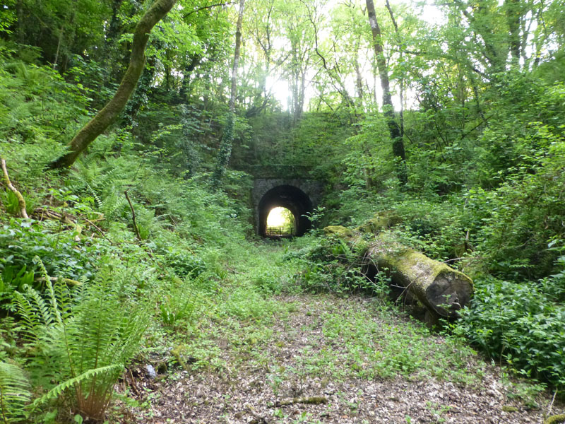
Northcott Tunnel
Scroll down for photos and a description of the walk....
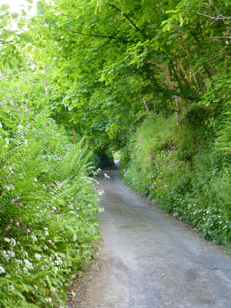
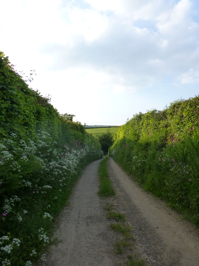
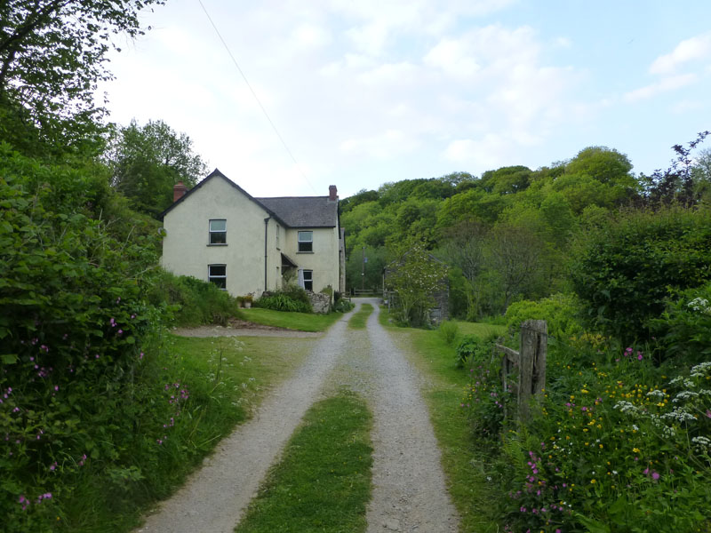
Cottage Lane, Dulverton
An evening walk from the B&B (Town Mills) in search of a little railway history. On our previous visit to Dulverton I bought "Railways Round Exmoor" by Robin Madge for £3 from the local second-hand bookshop. Written in 1971 it chronicles the history of no less than "10 lines round Exmoor". Cottage Lane leads very steeply out of Dulverton in a southerly direction, on the west side of the village.
 |
 |
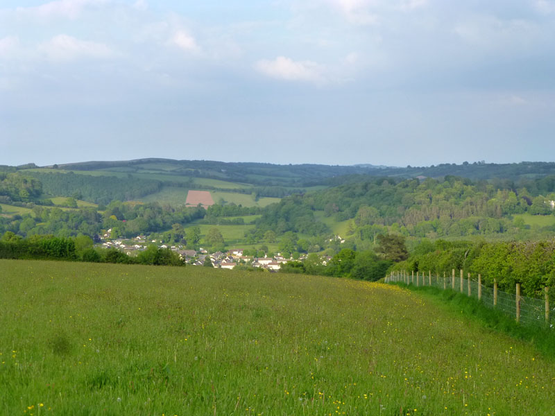
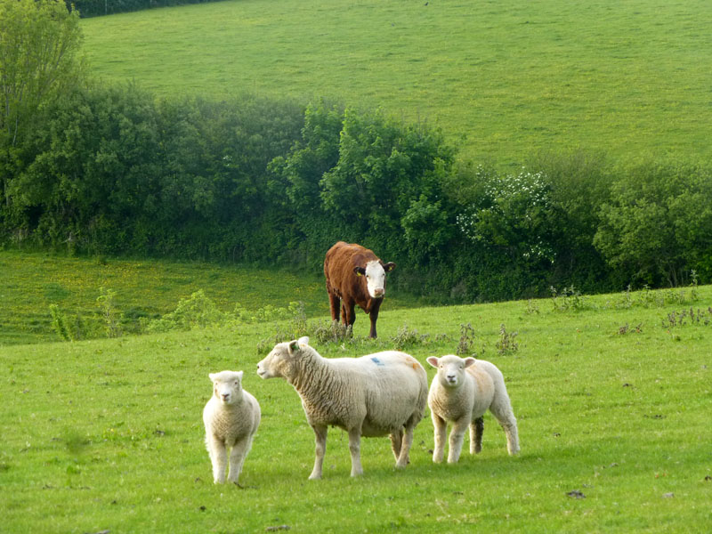
Evening Views above Dulverton
To Wilway Farm
Somerset's landscape is dominated by lines of tall hedges and sunken lanes. Oooop North, it's all dry stone walls.
 |
 |
Calmlife |
To Streamcombe |
~~~~~
 |
 |
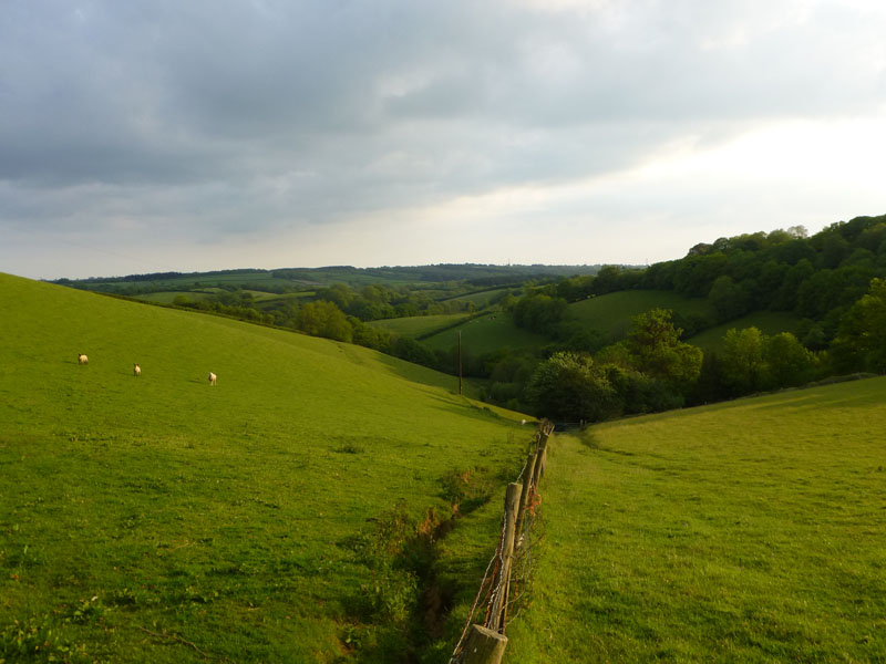
The woody lane leads down to Wilway Wood and a footbridge over a stream to reach Streamcombe Farm, also a B&B.
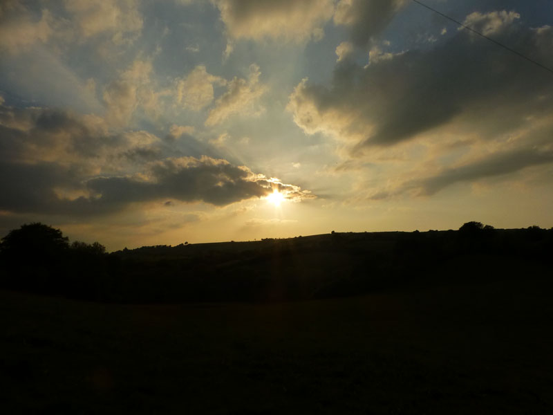
Setting Sun
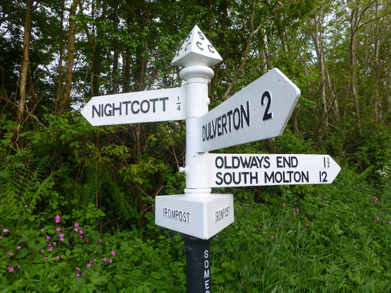
Iron Post
Directly south from Streamcombe and then up the tarmac to "Iron Post" as marked on the OS map. It seems a special case for this signpost to merit a map mention; up in the Lake District "Tree" is mentioned just once on the 1:25000 maps and I'm wondering how many more signposts receive this unusual treatment. Is there a club/society for signpost enthusiasts?
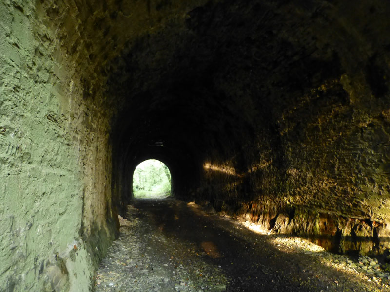
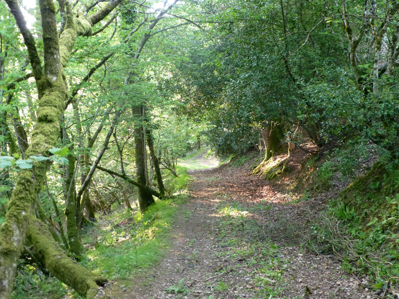
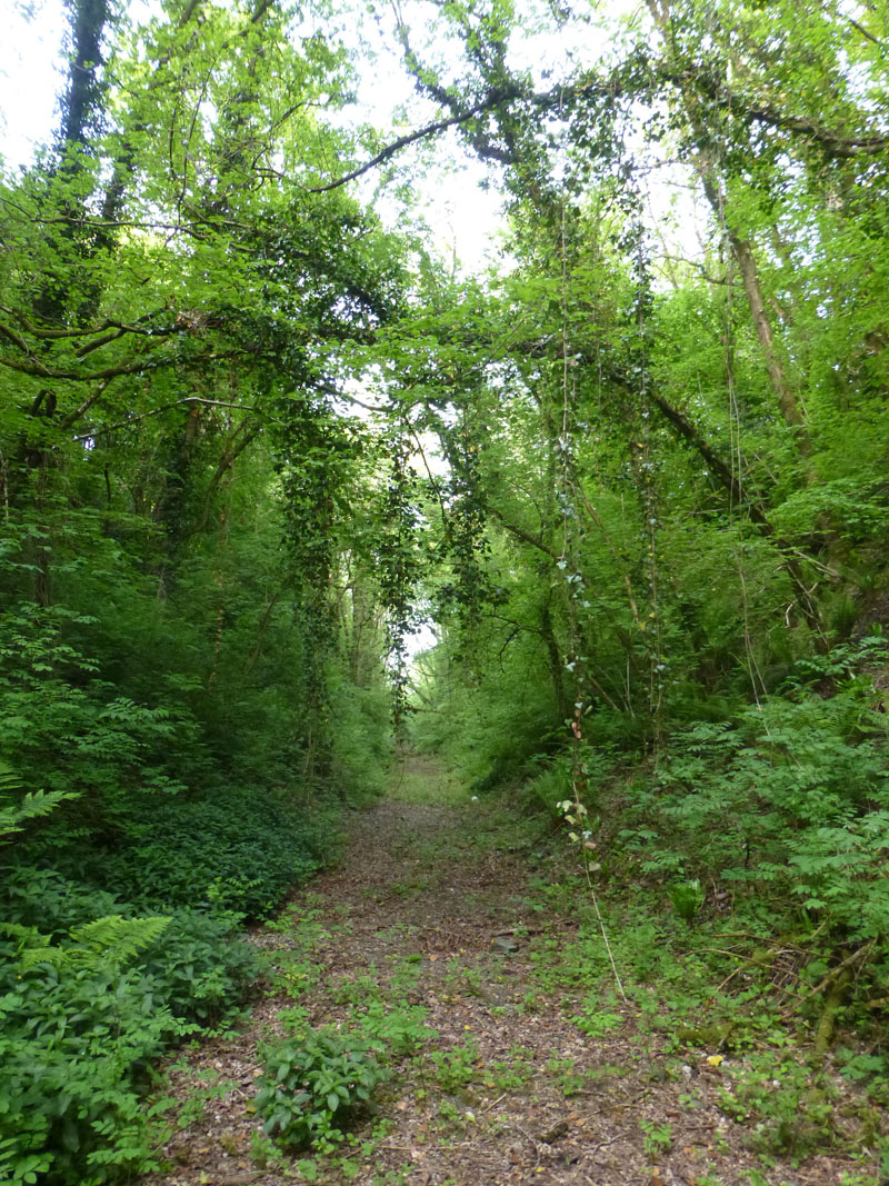
Northcott Tunnel
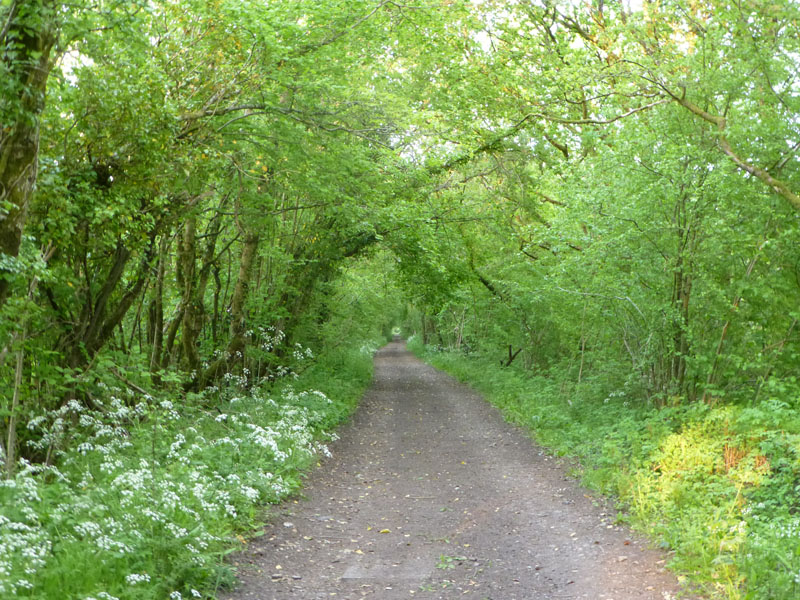
The main purpose of my walk was to reach the bed of the redundant Tiverton to Barnstaple railway line. The line had a 93-year history, closing in October 1966. Whilst the iron post is worthy of a mention on the map, the tunnel does not. Maybe that's because it's not visible from above, quite inaccessible, probably private and not very long. The Exe Valley Way (long distance path) follows the trackbed in this area, but climbs up to the road and over the tunnel.
Looking East
The overgrown railway cutting is now a seldom seen location.
|
 |
Railway Relics
There followed a flat, three-mile walk to Brushford, home to the Dulverton Railway Station.
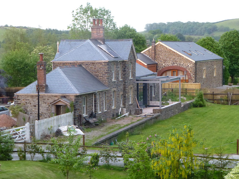
Dulverton Railway Station
The former station and engine shed have been put to good use and the whole area is in good shape and entirely private. If you look around t'internet, you will find photos of the station in earlier times. Just like most airports are remote to the cities they serve, this station is not very close to Dulverton and should have been called "Brushford Railway Station".
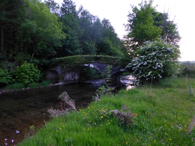
"New Bridge"
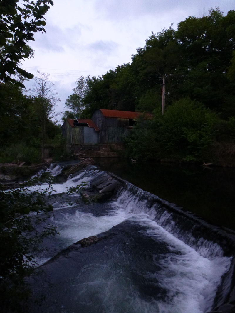
Weir
The final part of this evening walk was up the river, through gates in fields, on a public footpath between Brushford and Dulverton. "New Bridge" must have been just that once of a day. The weir has a salmon leap and the last part of the path, as seen on the map, is not currently walkable due to construction work on the riverbank, close to Dulverton. Walkers are directed into the village by a path next to the sports ground.
Walkers: Just Me
Time taken: 2 hours 30 minutes over a distance of about 7 miles.
Weather: Late sunshine and getting cooler.
All photos copyright Richard Ratcliffe 2013 ©
Take me back to the start ....