
~The Uldale Fells~
22nd May 2013
I suppose that if you climbed just one of the fells featured in this report and then returned to the car, you would be underwhelmed, somewhat short of tired and not in a hurry to tell all your friends of great adventures on grassy slopes. But make a round of several summits on a fine day like this and there is much to commend this quiet corner of Cumbria.
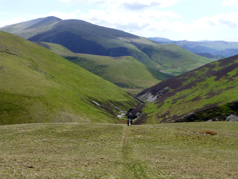
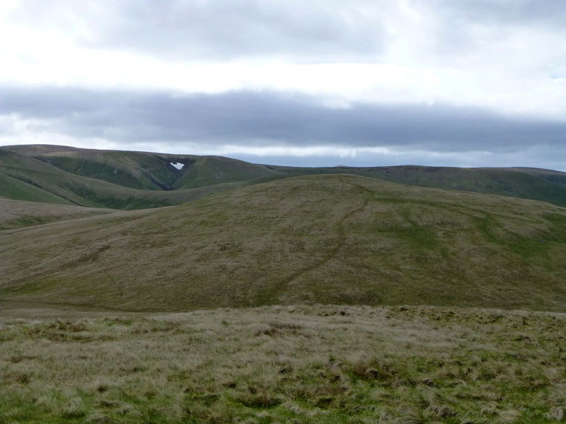
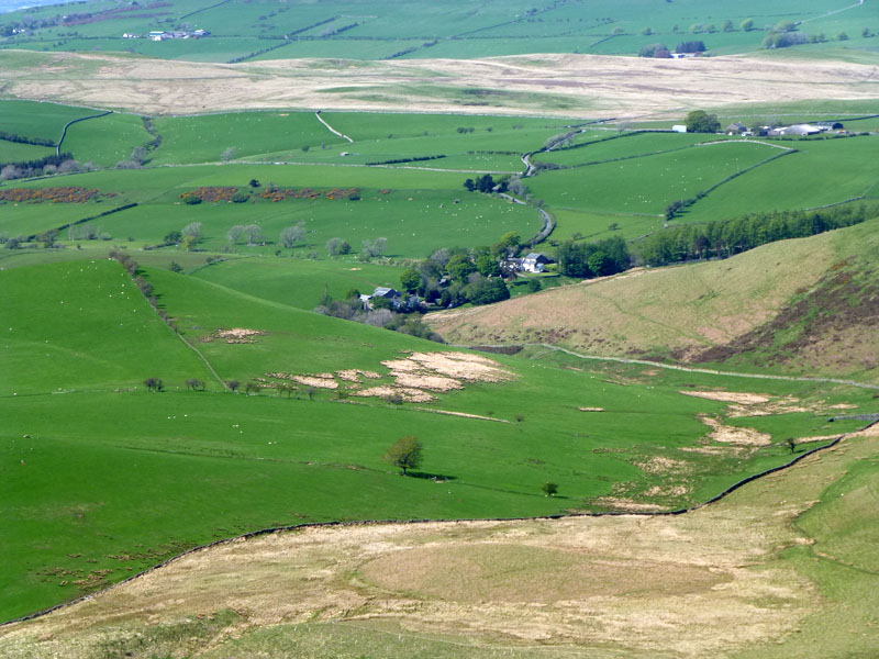
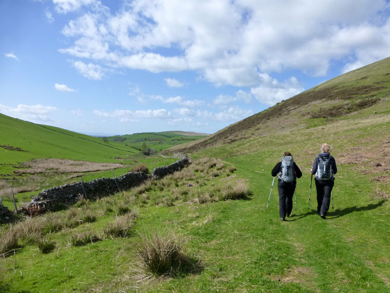
Burntod Gill
Scroll down for photos and a description of the walk....
 |
 |
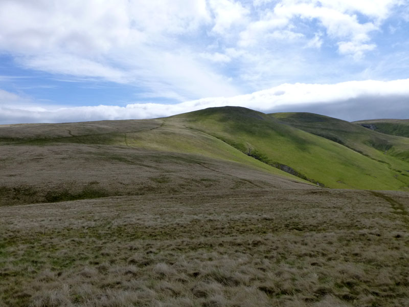
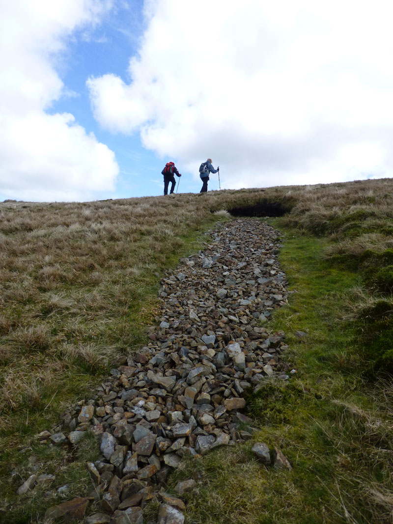
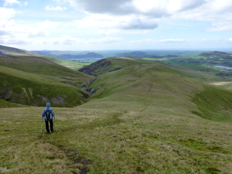
The Ascent of Longlands Fell |
Binsey and Over Water |
I was invited by Jill & Nigel Batchelor to join them for a fell-bagging tour of the Uldale Fells. Maggie Allan is also in the party. We take the direct ascent of Longlands Fell, the ultimate proving ground for all fellwalkers. (Wainwright Book Five, Longlands Fell 3).
 |
 |
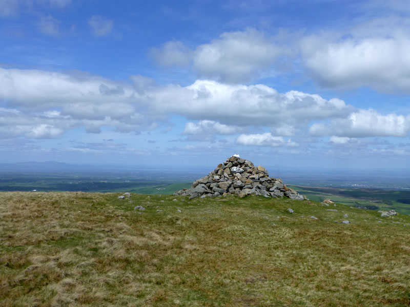
Longlands Fell Summit 1580ft asl |
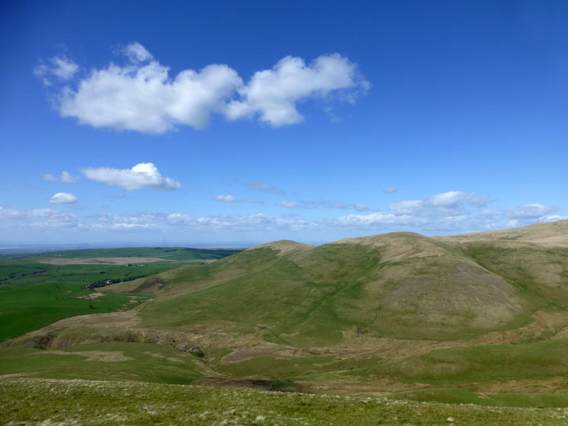
Lowthwaite Fell |
In the curious world of the famous guidebook writer, Lowthwaite Fell is excluded - yet it is higher than Longlands Fell and more of a fell top than Great Sca Fell (later). Not to worry.
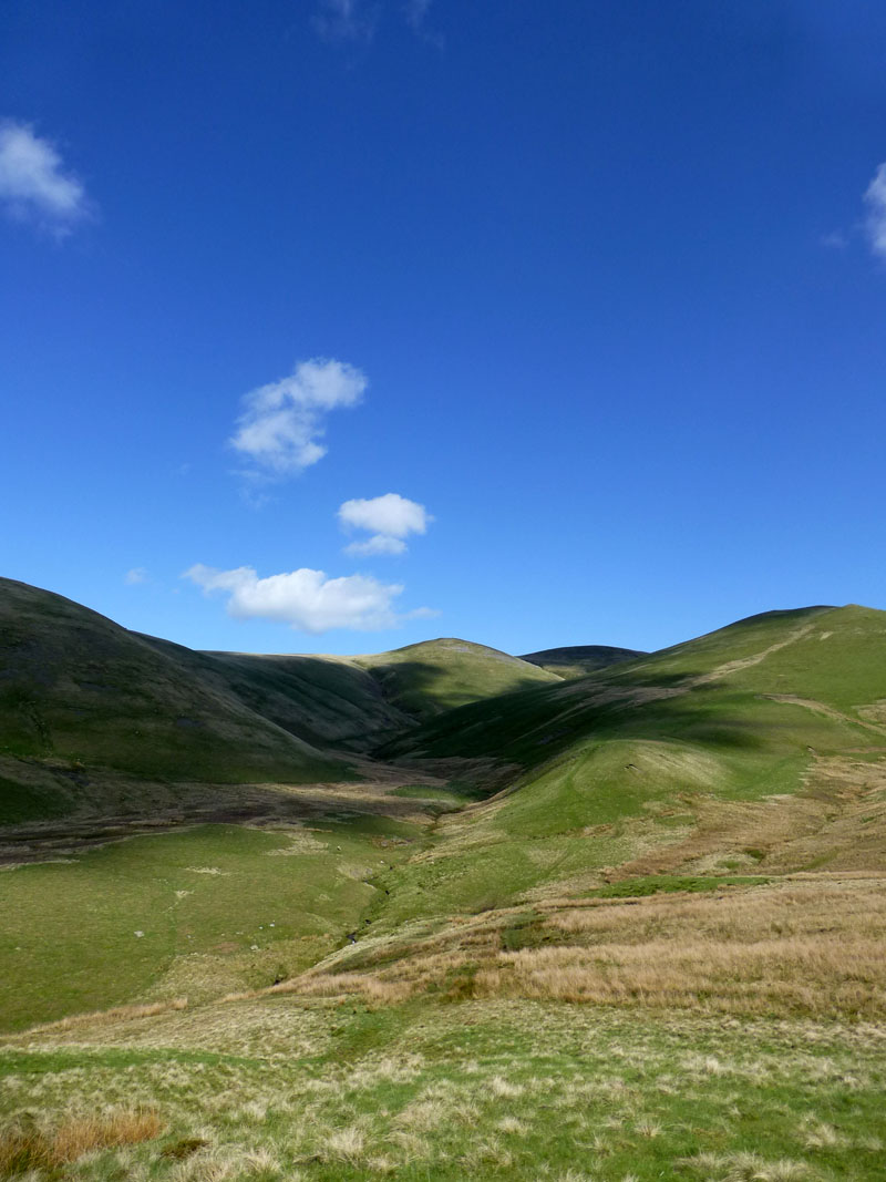
Little Sca Fell
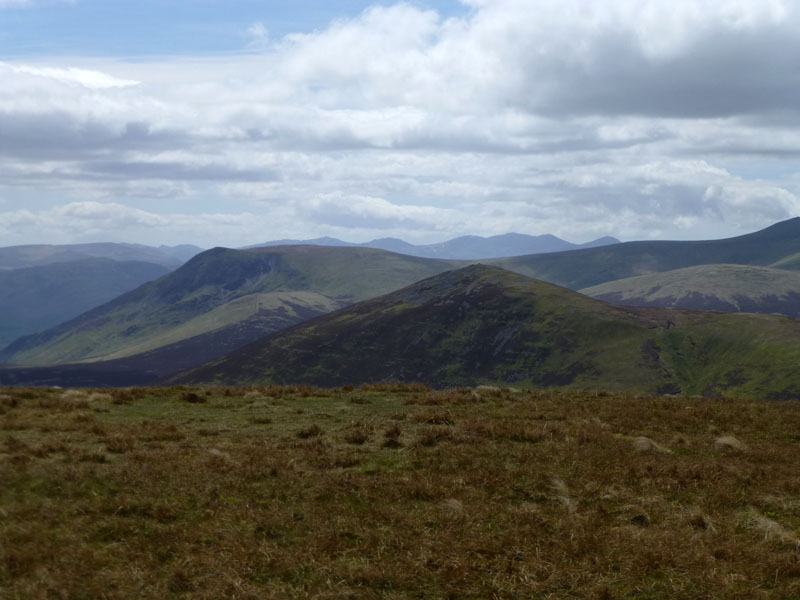
From Lowthwaite Fell we head towards Little Sca Fell, but then veer north-west for Brae Fell (left of photo).
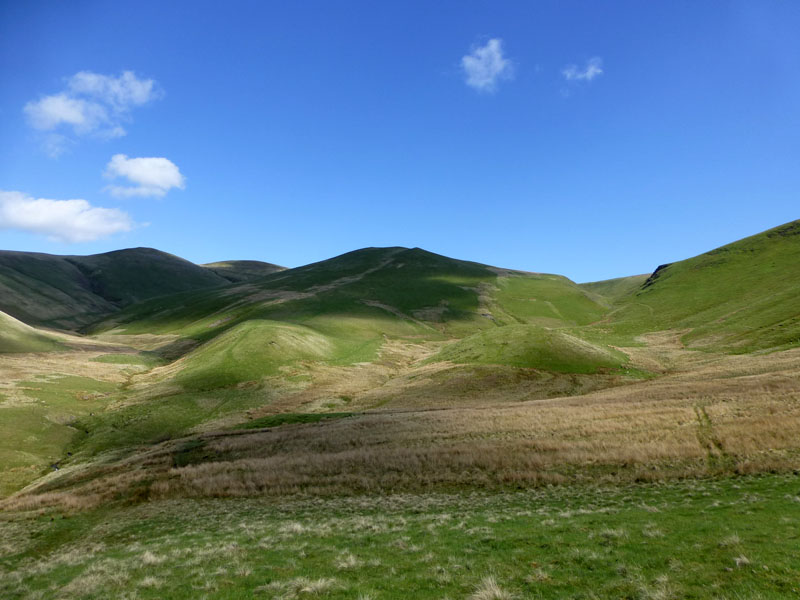
Brae Fell Summit 1920ft asl
Generally improving weather reveals expansive views to the north from our lofty position. "If all hills were like Brae Fell there would be far fewer fellwalkers" said AW.
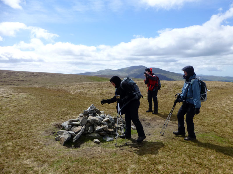
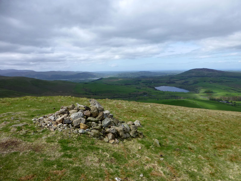
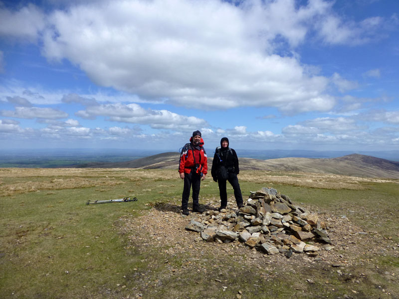
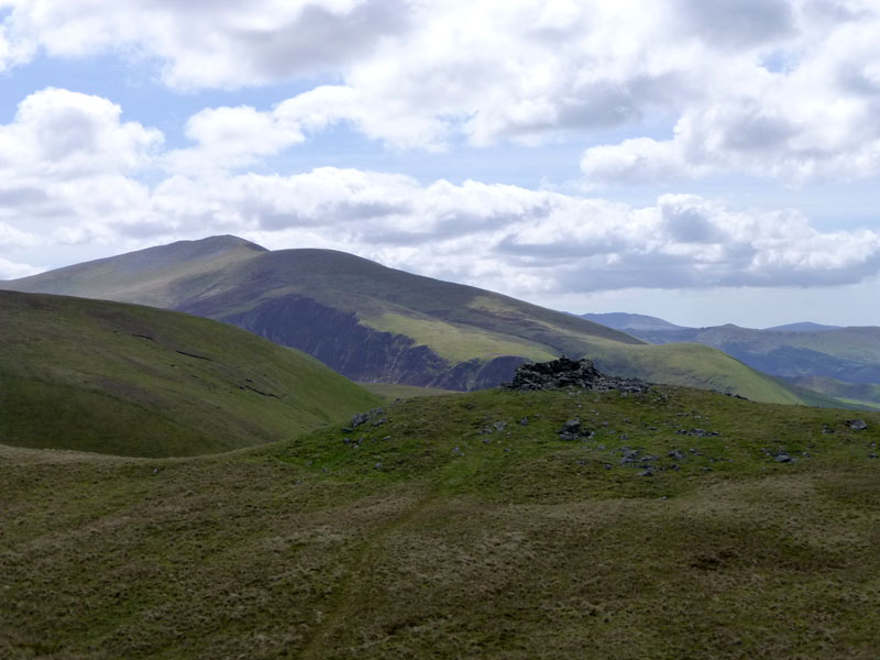
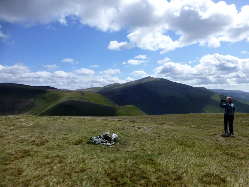
Great Sca Fell Summit 2131ft asl
Great excitement at the top of Great Sca Fell as Jill offers a handshake with the cairn. Surely nobody has carefully planned a full round of the 214 fells and chosen this one as the last for their champagne moment? Have they?
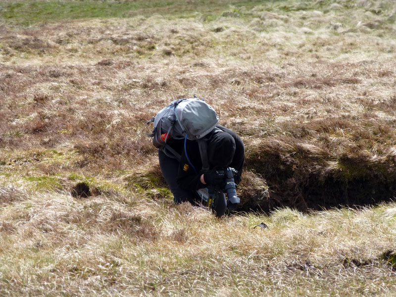
Sheep Scar on Knott
This unusual feature on the way to Knott caught Jill's eye. There is a sheep scar at the top and then several yards of exposed stone.
View from Knott
We've reached the highpoint of today's walk. This is Knott, not The Knott as in near Hayeswater, no, this is Knott.
Knott Summit 2329ft asl
Jill & Nigel are in the 160's en route to 214, an excellent effort considering they live in that sticky-out bit of Kent and don't have much in the way of hills for training on.
 |
 |
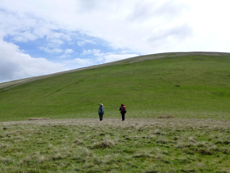
Jill Zooming |
Heading for Meal Fell |
Our route took us back over Great Sca Fell and then off in the direction of Meal Fell. It's been quite windy up here and we are hoping to find a little shelter on Meal Fell in order to eat our sandwiches.
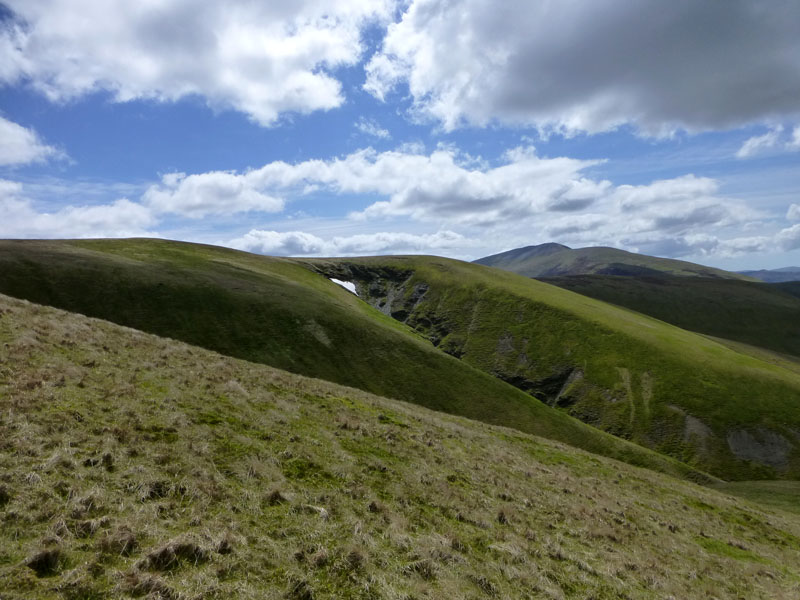
Frozen Fell
There's a little snow in Frozen Fell Gill, maybe the origin of the name is evident today. And maybe eating on Meal Fell is no accident either.
Meal Fell 1804ft asl (OS aerial survey measurement)
I usually quote Wainwright's figures for height above sea level, but as he said 1770' approx, I thought it was worth looking at the map. There was shelter from the wind in the shelter.
Contrasting Fortunes
This little tributary for Frozenfell Gill has a green slope facing north-east and a bare face looking south-west.
 |
 |
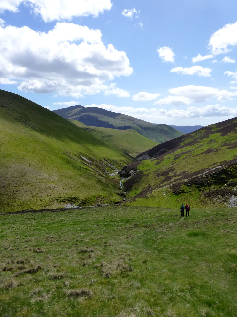
Burntod Gill |
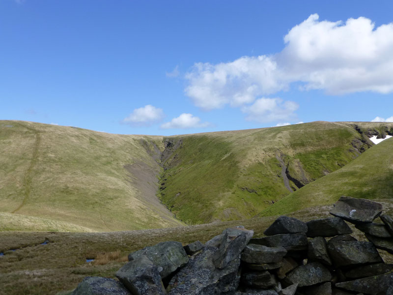
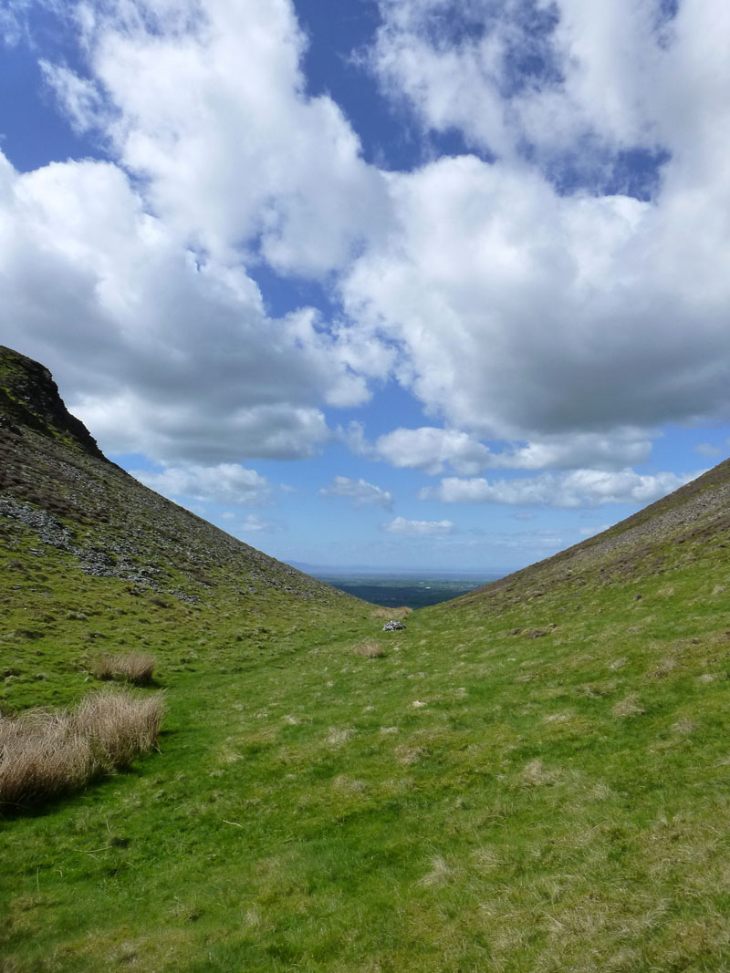
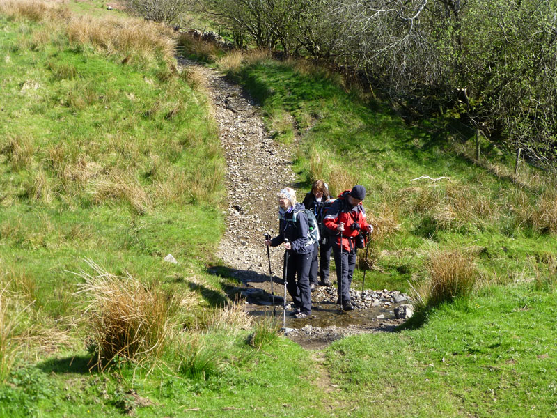
Trusmadoor |
We walked down to Trusmadoor and then started the steep ascent of Great Cockup. Trusmadoor is a dry valley, not because of porous bedrock, but more because no streams presently use its base as a way to the lower levels.
Great Cockup 1720ft (approx)
The summit of the curiously named, grassy fell. Maggie is taking a photo, but there again, so am I.
Great Calva (r) and Blencathra (l) from Great Cockup
 |
 |
Longlands |
Longlands and Lowthwaite Fells |
From Great Cockup we took a fairly direct route in a northerly direction towards the farm track that heads back to Longlands.
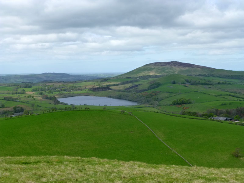
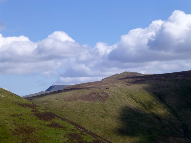
Uldale Fells
Little Sca Fell is in sunlight, Great Sca Fell is in the shade and Meal Fell is up there on the right. This is the source of the River Ellen, which heads north to Ireby.
Meal Fell
To Longlands
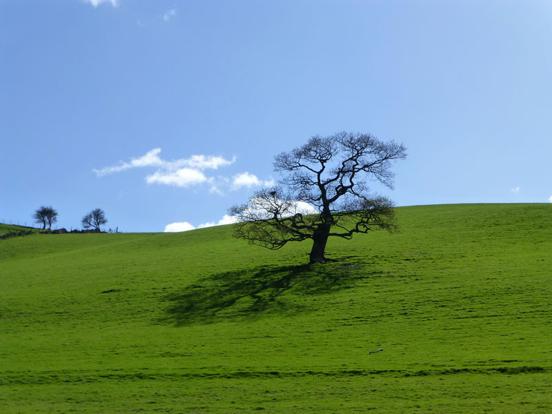
The Tree
Boot Cleaning
Walk Complete
Walkers: Jill & Nigel Batchelor, Maggie Allan and Me.
Time taken: 7hrs over a distance of about 8.5 miles.
Route: Longlands, Longlands Fell, Lowthwaite Fell, Brae Fell, Little Sca Fell, Great Sca Fell, Knott, Great Sca Fell, Meal Fell, Trusmadoor, Great Cockup, River Ellen, Longlands.
Weather and Conditions: Sunny and cool in the brisk northerly wind.
Greetings Count: We met two other walks in the vicinity of Great Sca Fell, that's all.
All photos copyright Richard Ratcliffe 2013 ©
Contact Me via email - If you don't use "Outlook", just read the email address and send me a message from your usual email facility. Comments might be published, please tell me if you don't want that to happen and I will also edit messages if they contain personal stuff that the world doesn't need to see. Hover your pointer over the link and the target might appear in the bottom left of your screen.
Take me back to the start ....