
~A Colne Circular~
13th September 2013
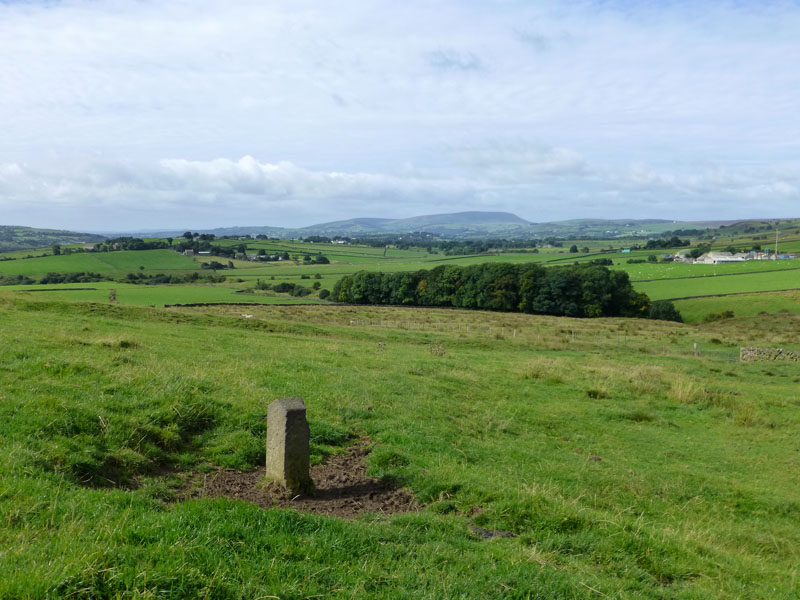
East Lancashire View
Scroll down for photos and a description of the walk....
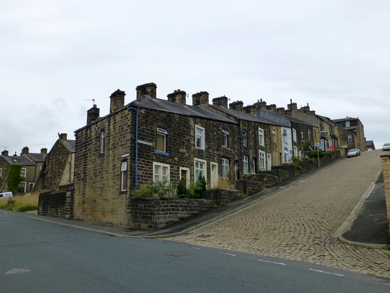
Sutherland Street, Colne
Simon Baldwin and I chose a local setting for a walk on Friday 13th, not chancing our luck on a longer drive to more distant places. Starting at 10:00hrs from Bridge Street in Colne, the walk down hill to Waterside, passes a typical Colne street. Note the steep and stepped terrace and the original stone setts making the cobbled street.
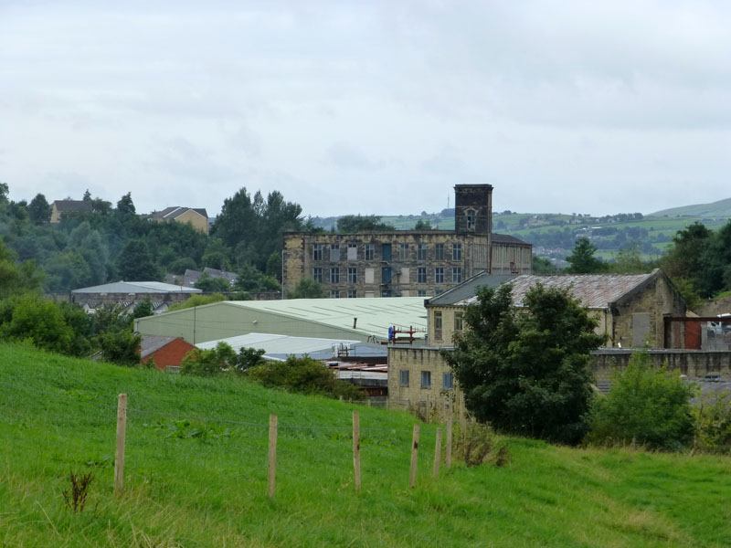
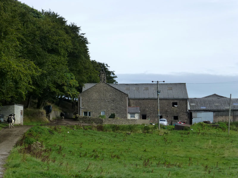
Spring Garden Mill at Waterside
Our walk will follow Colne Water uphill to Carry Bridge and Laneshawbridge. Here we look back at Spring Garden Mill in Colne's south valley.
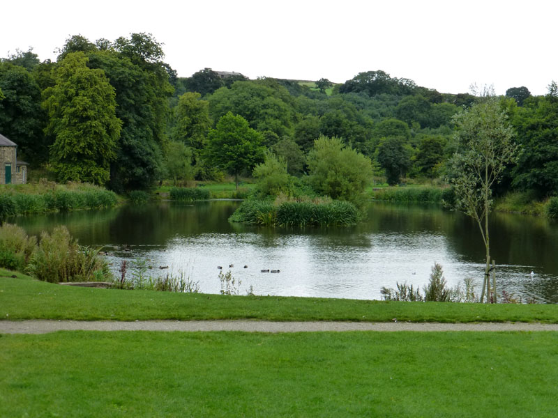
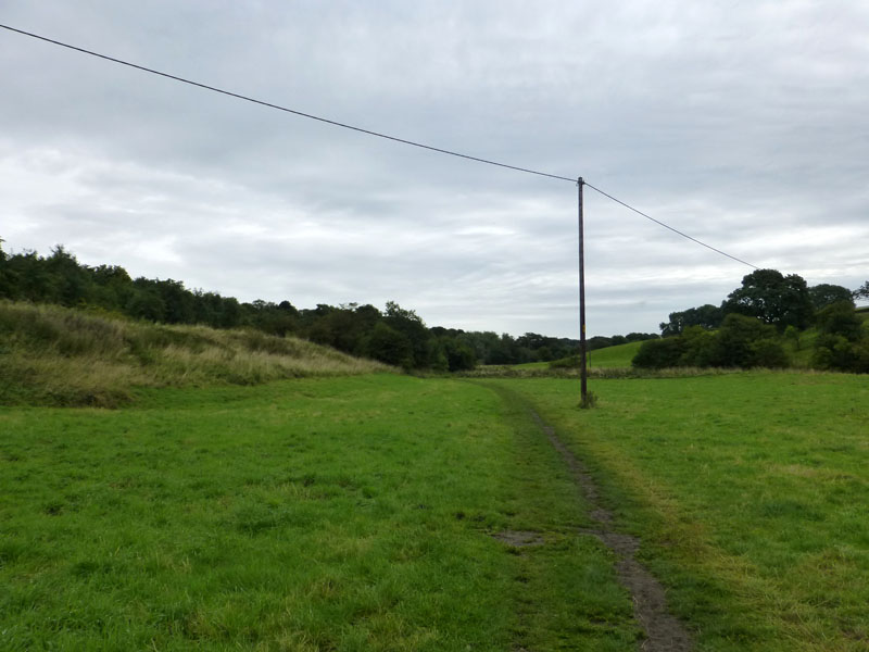
Ball Grove Nature Reserve
Disappointed ducks do without dough on this occasion as we have nothing to spare.
 |
 |
The Dog Walk |
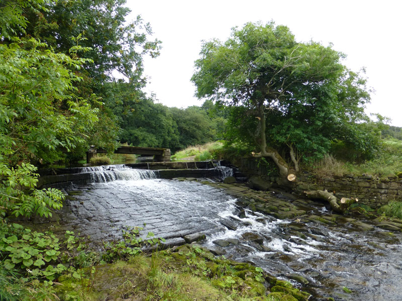
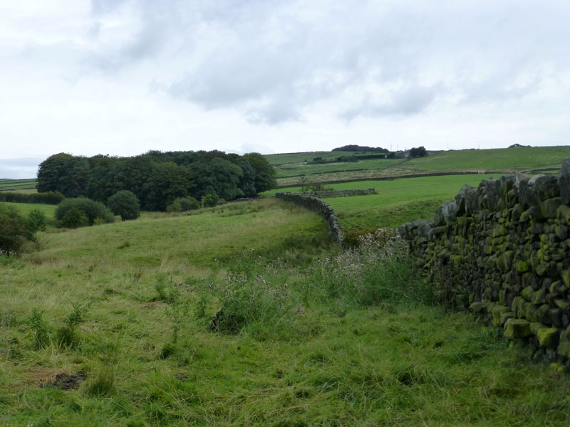
Weir on Colne Water |
The observant will notice a severed branch on the far side of the river (right). Earlier we saw some river work and I suspect something is about to happen here. Just as well there's lots of money to spend on these important matters.
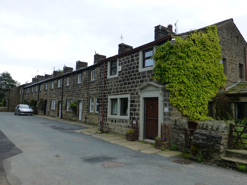
Carriers Row, Laneshawbridge
For the second time today, one car spoils my photograph.
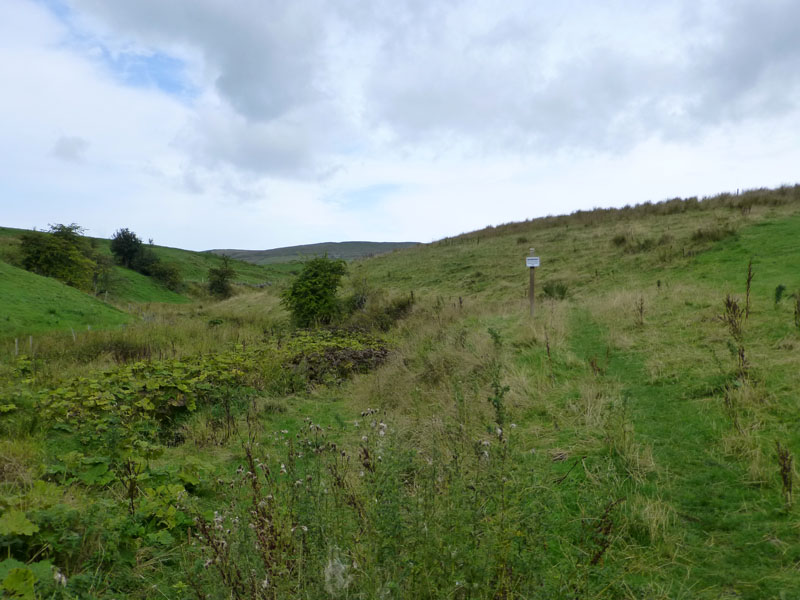
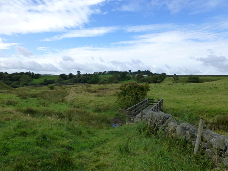
The Pendle Way
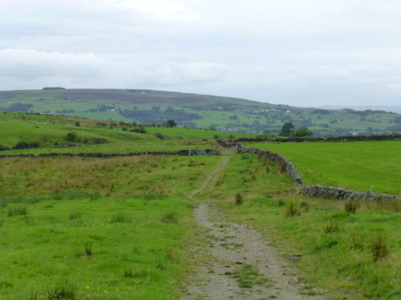
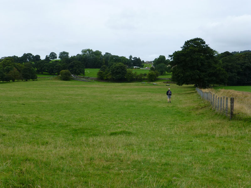
We cross Keighley Road in Laneshawbridge and head north into fields and on the "Pendle Way". A sign warns walkers to avoid the edge as there is a danger of collapse. Eeeek, perhaps we shouldn't be in this dangerous field - nettles, thistles, biting flies, collapsing river banks....
 |
 |
Field Walking
Looking forward and then looking back - where the skies are brightening nicely.
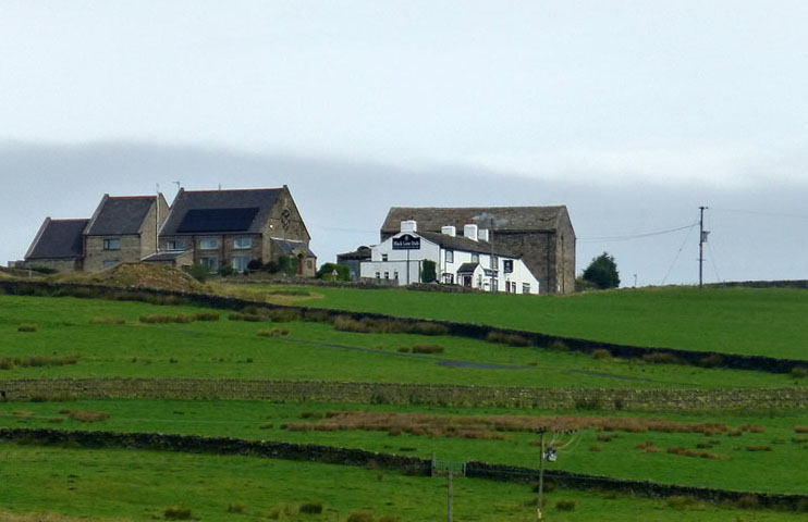
Black Lane Ends
Our mid-walk target is the Black Lane Ends pub, but rather than take a more direct route, we continue to follow the Pendle Way and head for Knarrs Hill.
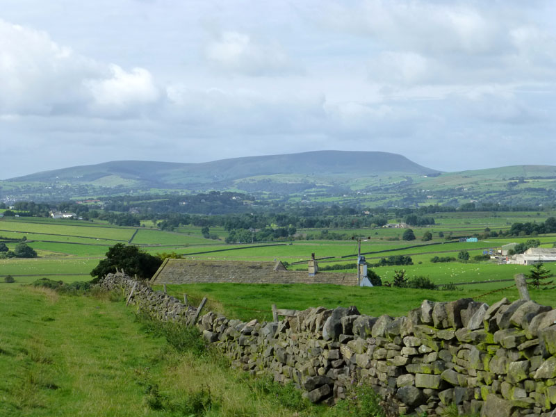
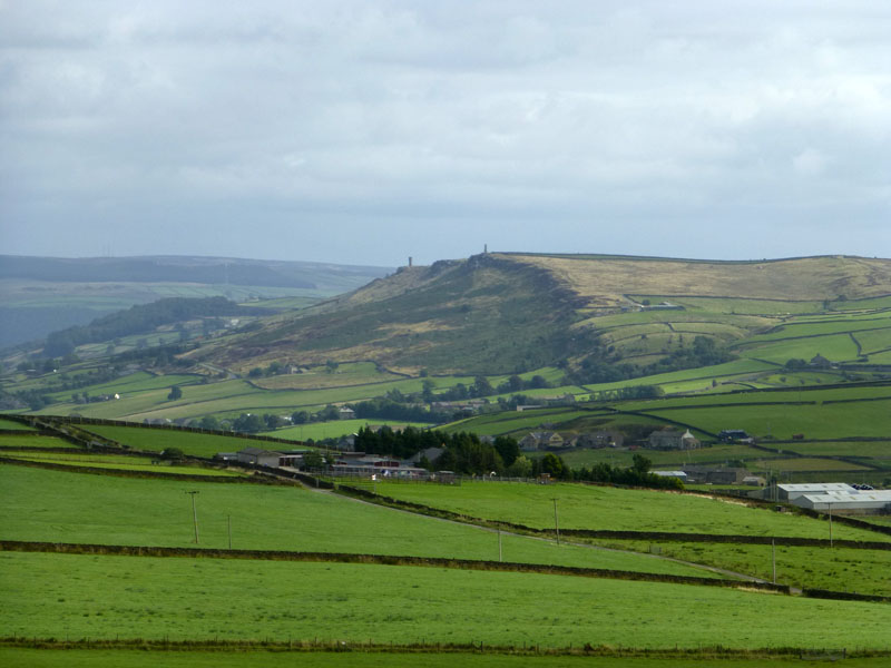
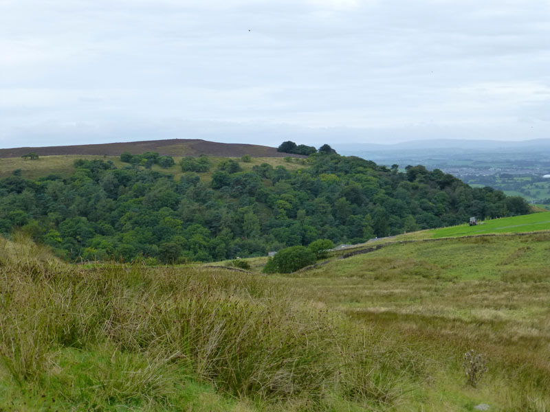
Pendle Hill
This is finest East Lancashire, mile after mile of walls, fields, farms and woods.
 |
 |
Knarrs |
Earl Crag |
The map shows the path going through the farmyard and Knarrs, but signs on the ground and cows on the track say divert up the hill and around the farm, a useful and practical diversion. Earl Crag is home to both Wainman's Pinnacle and Lund's Tower.
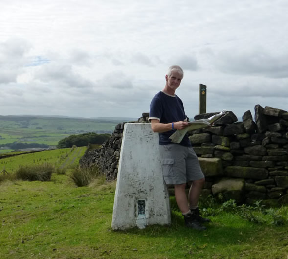
Simon at The Trig Point on Knarrs Hill
Hidden behind the approach wall is a triangualtion point at 334m.
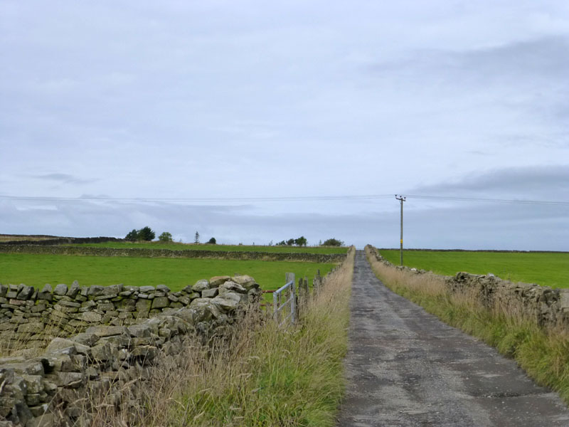
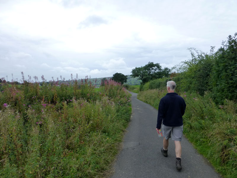
to Warley Wise Lane
After the excitement of the highpoint at Knarrs, it's along country lanes to Warley Wise Lane and then directly to the pub.
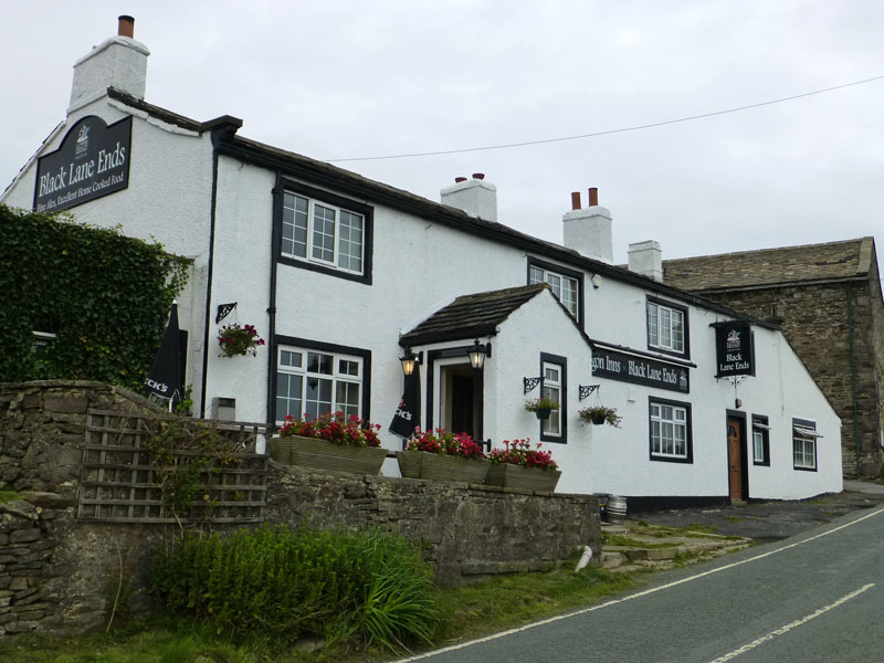
Black Lane Ends
It must be nearly 30 years since I last set foot in here. Reviews on t'internet suggest it's well worth a visit, so in we go...
Kelbrook Wood
Thus refreshed, we leave the pub and take more of the Pendle Way in a north-westerly direction. Kelbrook Wood sits on Sheep Hill, part of Kelbrook Moor.
 |
 |
Scald Bank |
Harden Clough |
We walk past Scald Bank and head for the corner of the wood. The footpath goes through the grounds of the gardens of Harden Clough, a seldom seen desirable residence in the middle of nowhere!
 |
 |
To Kelbrook
Kelbrook is on the main road between Colne and Skipton. Once upon a time a railway line connected Colne and Skipton, will that ever happen again? Whilst the scale is diminished, the benefits are much clearer to see than those of HS2.
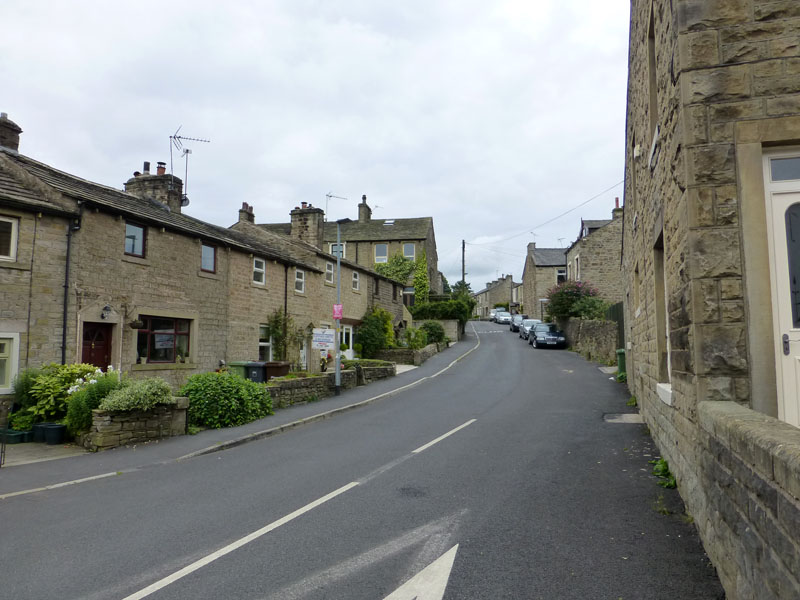
Kelbrook Main Street
 |
 |
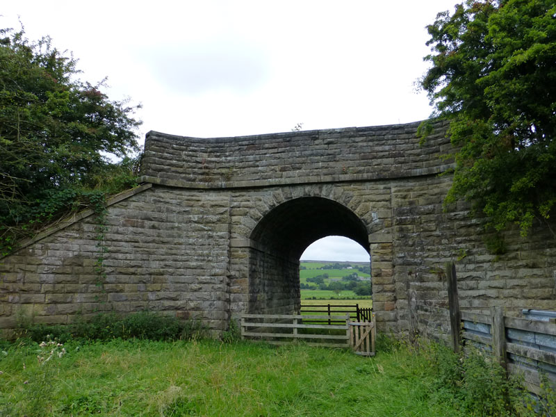
Railway Architecture |
To the Canal |
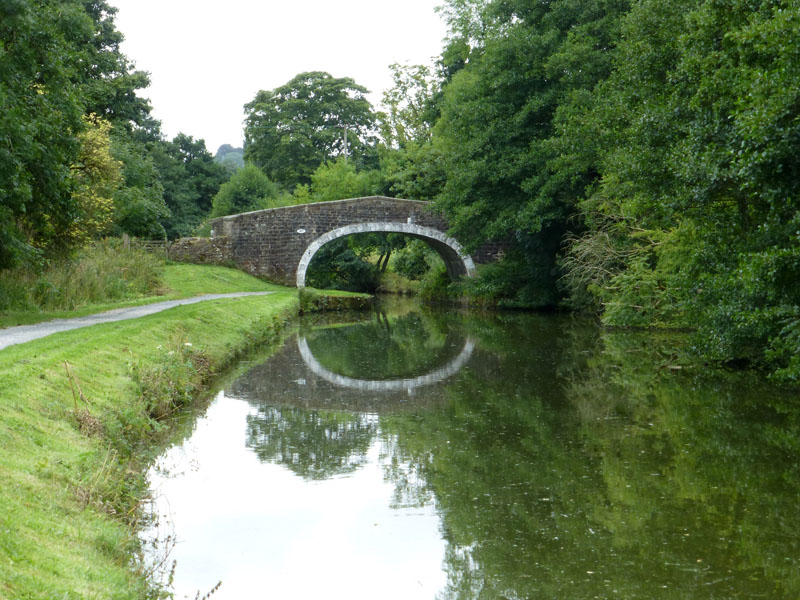
As usual with "dismantled railways" as the mapping term seems to be, the evidence of hard work and attractive engineering is left behind. Pathway through the fields lead to the Leeds & Liverpool Canal. We join at "Mill Hill Bridge".
 |
 |
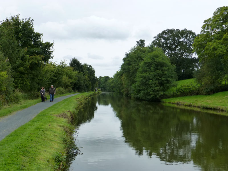
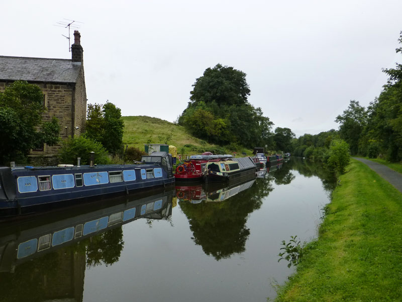
Leeds & Liverpool Canal
This stretch of the canal between Barnoldswick and Colne is the highest part of this waterway. Popular with dog walkers, cyclists and also walkers who don't have dogs.
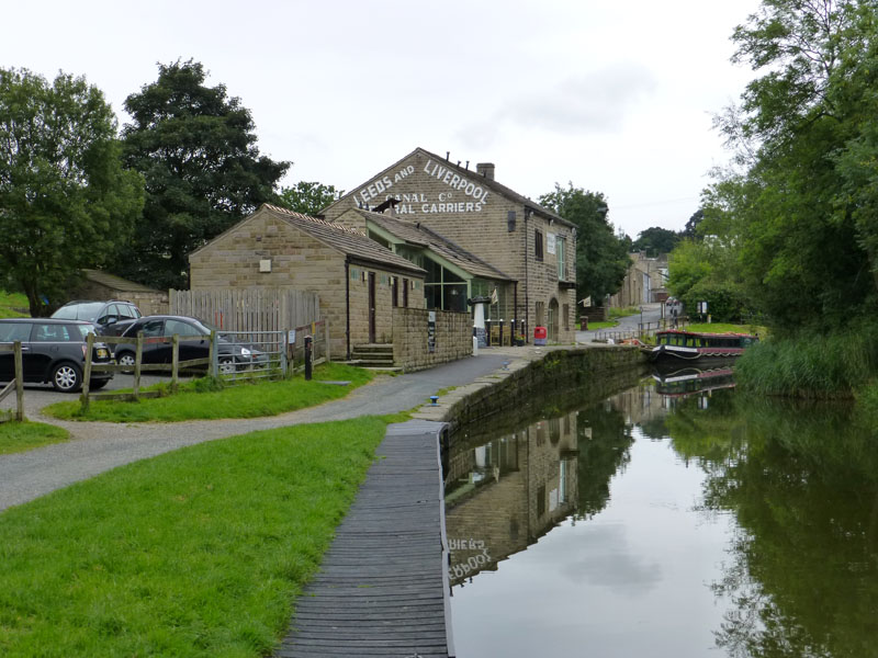
Cafe Cargo, Foulridge
Just before the eastern end of the Foulridge Tunnel is Cafe Cargo, a refreshment opportunity. No time for that, keep on walking ...
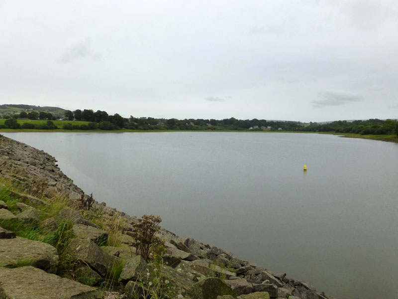
Foulridge Lower Reservoir
It's now starting to rain a little, which is unwelcome.
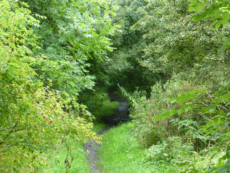
Disused Trackbed
We cross the old trackbed on the way to the western portal of the Foulridge Tunnel.
 |
 |
Barges |
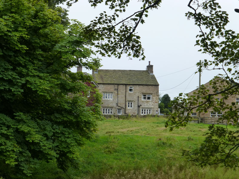
Blakey Hall Farm |
All quiet on the canal and then we pass Blakey Hall Farm, where B&B accomodation is on offer.
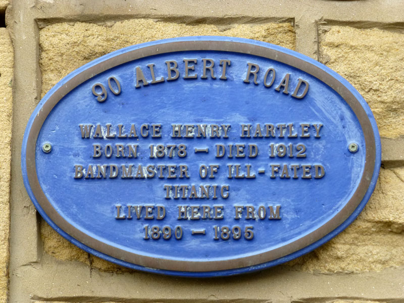
Blue Plaque in Colne
Always a little sad when someone becomes much more famous in death than they were during their lifetime. There's even a pub named after him in Colne. The jam is not named after him.
Walkers: Simon Baldwin & Me
Route: see map below.
Time taken: 6 hours 30 minutes over a distance of 13 miles. One hour spent in the pub at lunchtime.
Greetings: Few, mainly dog walkers.
Weather: Generally cloudy, a little light rain late on.
Refreshments: Good pub food at The Black Lane Ends, nr. Lothersdale.
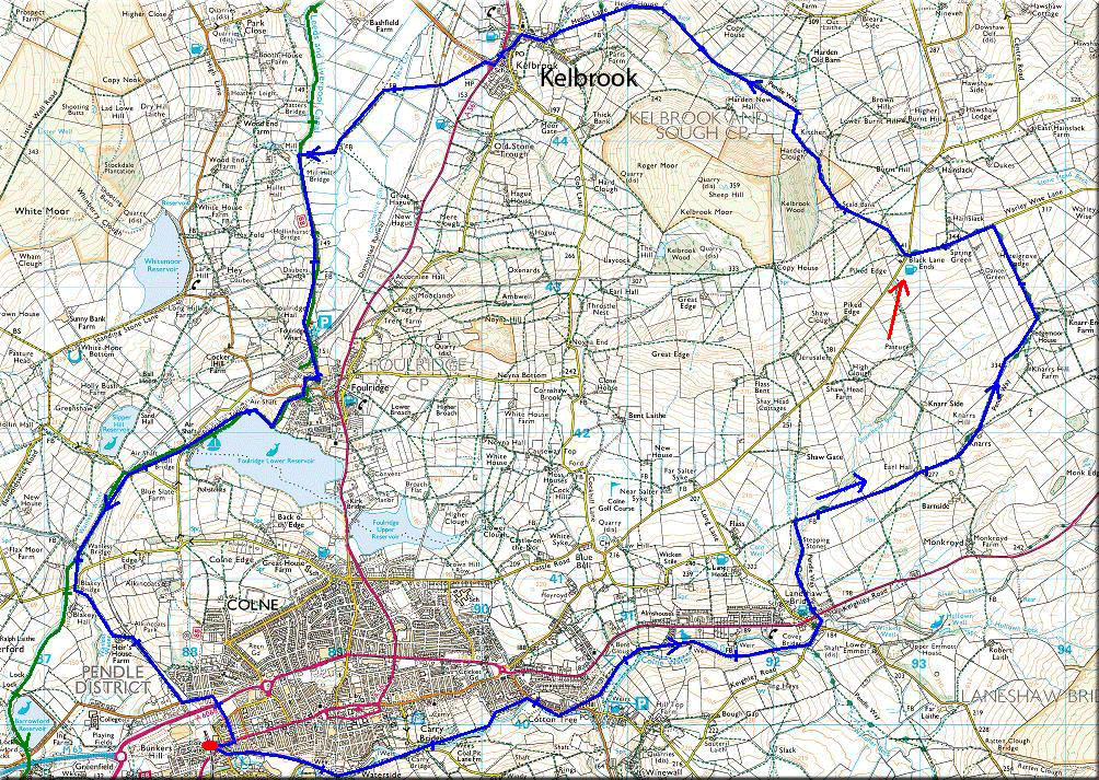
Red arrow = pub; red dot is the start point. I know it's difficult to read, but it should give anyone wishing to try something similar a rough idea of where we went.
All photos copyright Richard Ratcliffe 2013 ©
Take me back to the start ....