
~Winter Walk in Lakeland~
29th December 2014
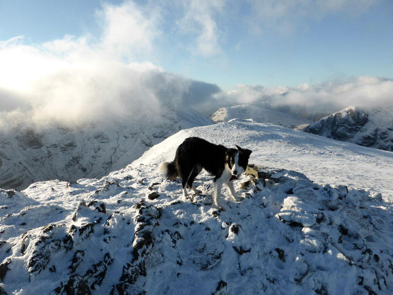
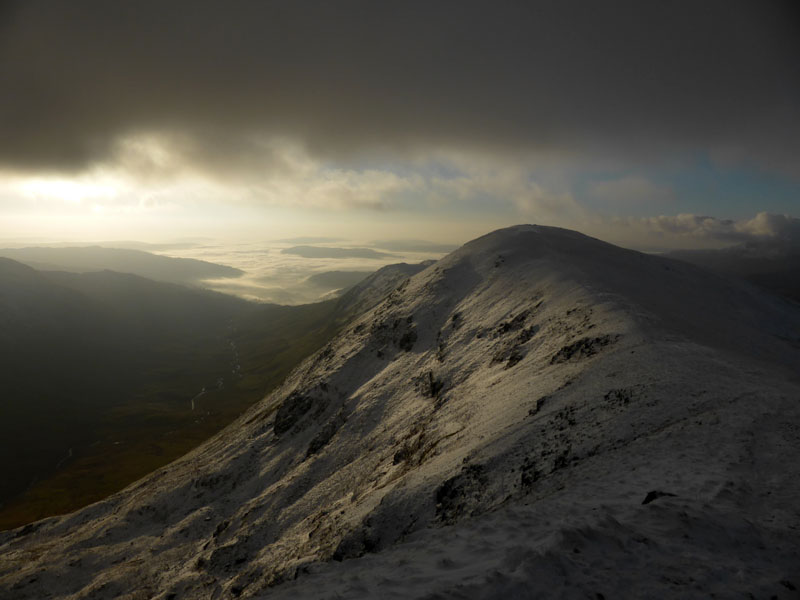
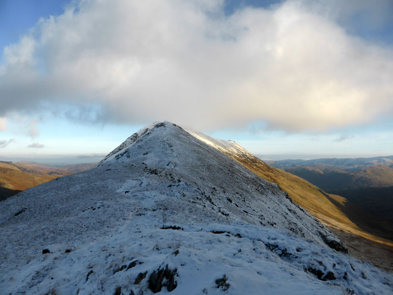
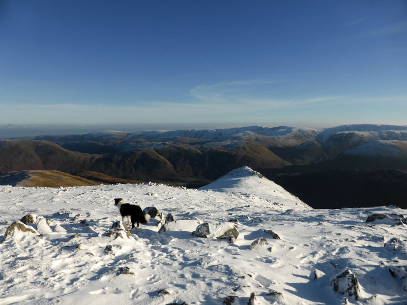
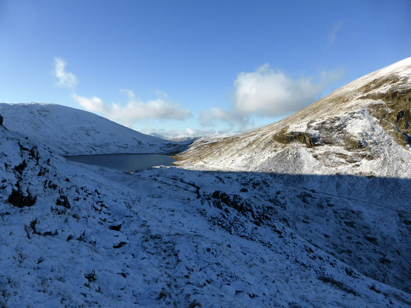
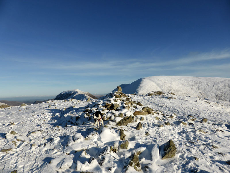
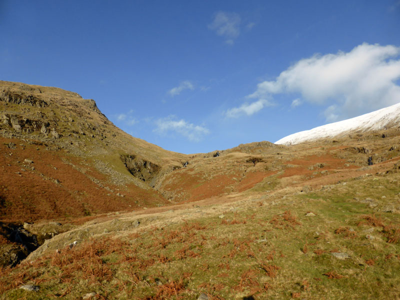
St.Sunday Crag Summit
The MWIS suggested that the chance of cloud free summits was "almost certain" for this day. That'll do, the view from Fairfield summit on a clear winter's day is magnificent. Boots etc. all packed the evening before, alarm set for 04:50hrs. I don't want a repeat of the cloudy scence on Helvellyn a few weeks ago! Nothing can possibly go wrong ...
 |
 |
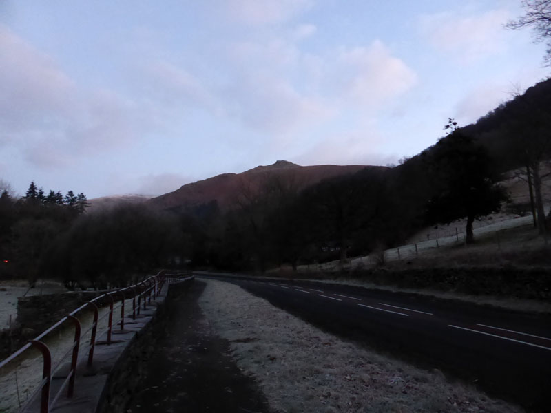
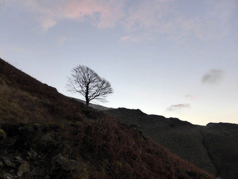
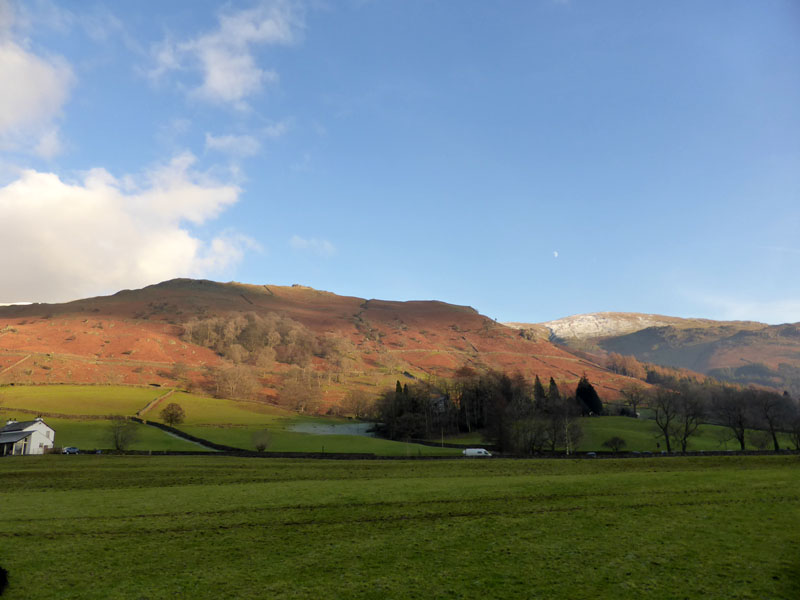
Stone Arthur from the A591 |
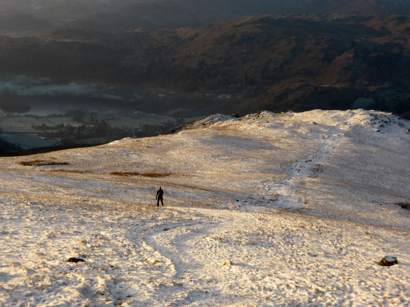
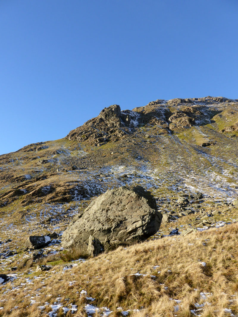
Ascent of Stone Arthur |
Well the rear door handle of the Freelander came off in my hand and was hanging loose by the wires. I kind-of fixed it and by 07:50hrs the car was parked in a lay-by on the A591 at Grasmere and Stone Arthur is the first fell on the list.
 |
 |
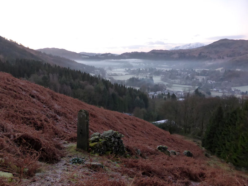
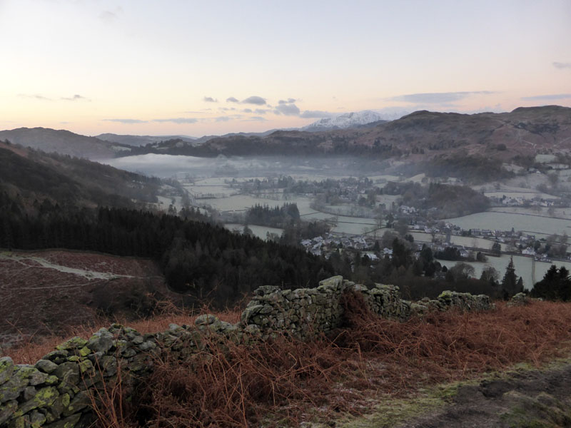
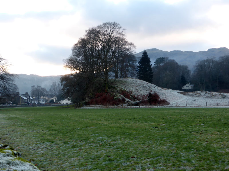
Grasmere Village |
Walk Route |
Winderemere is host to a temperature inversion - low lying mist, if you prefer and a little of such has reached Grasmere. We are still awaiting the arrival of the winter sunshine. Stone Arthur is a strange one, if the prominent rock tor had not been give the name, walkers wouldn't have aimed for it, guidebook writers wouldn't have wasted their ink, today's walkers wouldn't go there and I wouldn't be typing away.
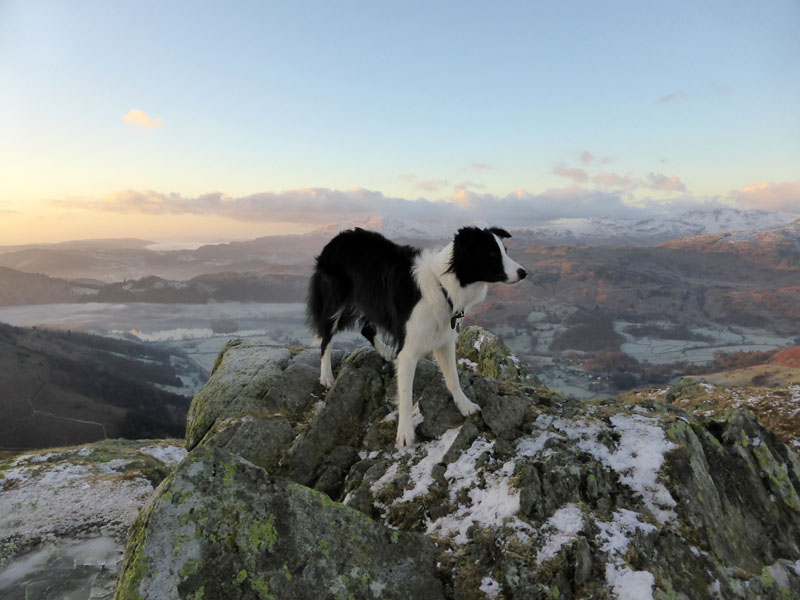
Molly on top of Stone Arthur 1,652ft asl
SA is the end of a spur of Great Rigg, but looks like a separate fell from Grasmere. My only previous visit was during descent from Great Rigg and it left me with a sense of unearned achievement; I'm feeling much better now.
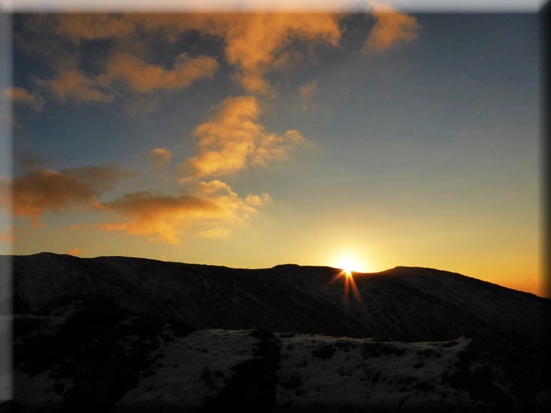
Sunrise
Next up will be Great Rigg, part of the traditional "Fairfield Horseshoe".
 |
 |
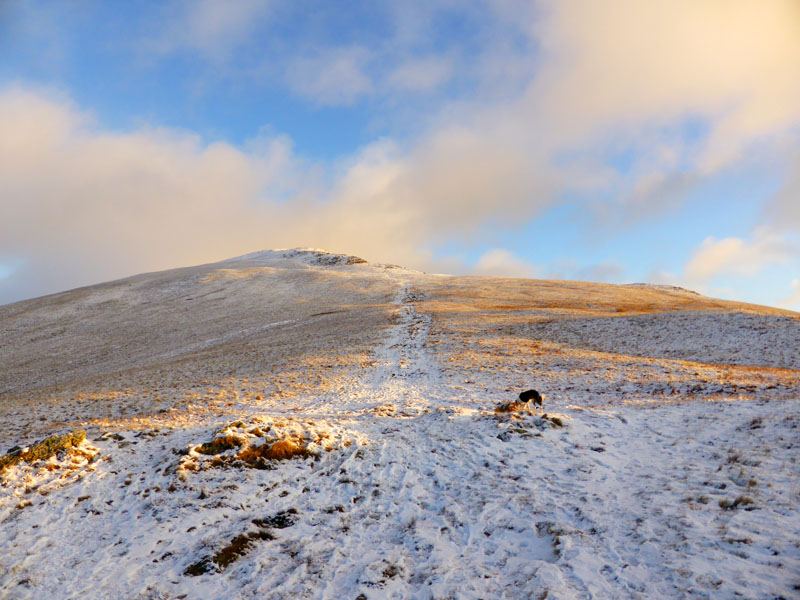
To Great Rigg |
Looking Back |
We were surprised by the appearance of another walker, appearing from the Heron Pike direction and then heading down to Stone Arthur. This proved me wrong as I had guessed we would meet no other walkers on our route up to Great Rigg at this time of day.
Great Rigg Summit at 2,513ft asl
Anorak moment: Great Rigg was my 700th recorded Lakeland felltop visit.
 |
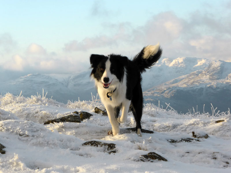 |
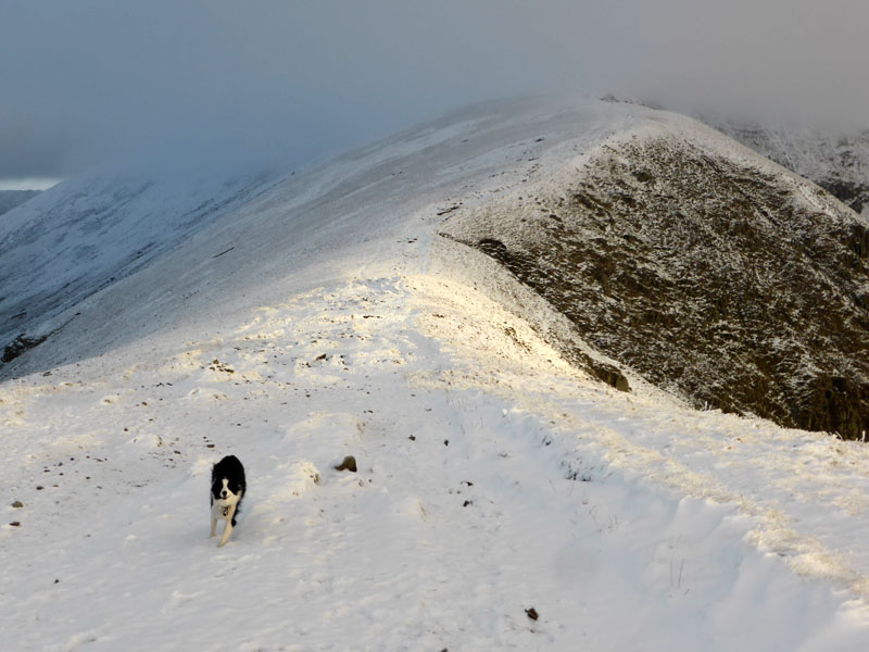
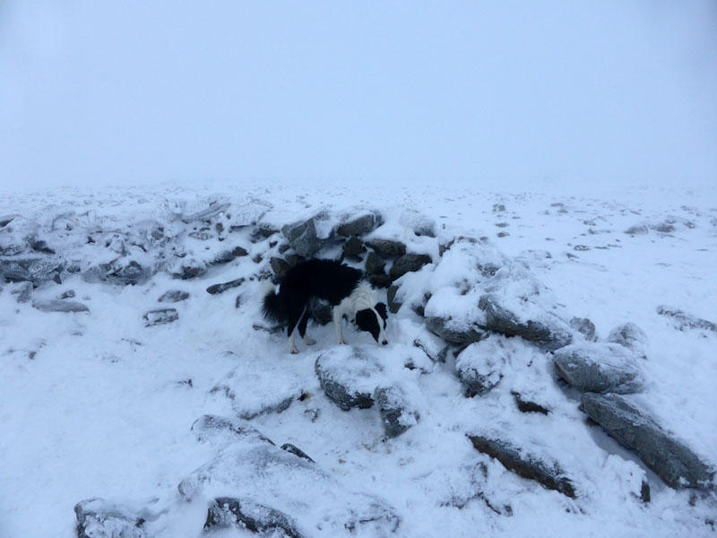
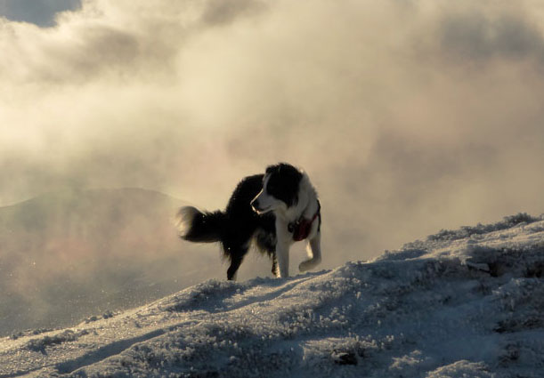
Molly in the Snow
Wainwright says "Few people will climb Great Rigg without also ascending Fairfield ..."; he also points out that "strangers to Fairfield should avoid it in mist" Wise words ....
Looking back at Great Rigg
As we approach the climb to Fairfield, the feeling of dayjar view comes to mind - the top is shrouded in mist and we're about to enter it!
 |
 |
Seat Sandal |
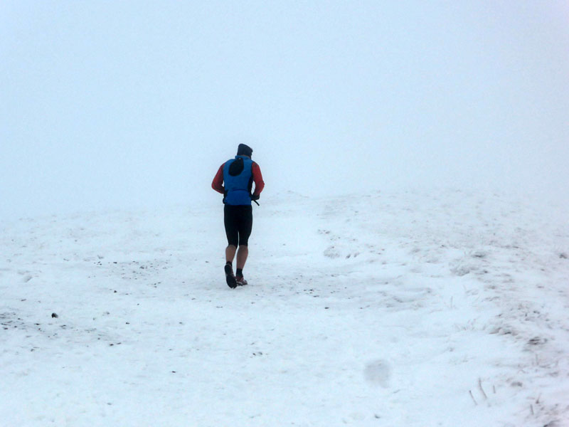
The Runner |
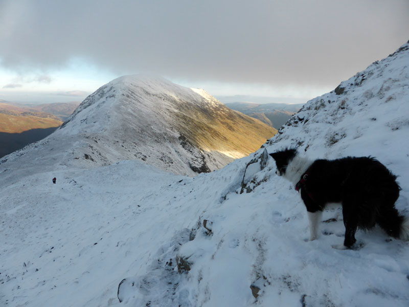
I thought we might climb Seat Sandal later; the runner leads the way into the mist. I am very familiar with Fairfield and more importantly I have a compass with me. There are steep and dangerous edges to Fairfield.
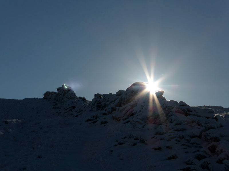
Fairfield Shelter 2,863ft asl
Just here and without any previous need for such, I donned microspikes. Better safe than sorry! After a sandwich and getting cold for five minutes I realised that the wispy clouds weren't ready to depart and so we took a bearing and headed for Cofa Pike en route to Deepdale Hause for our way to Grisedale Tarn.
 |
 |
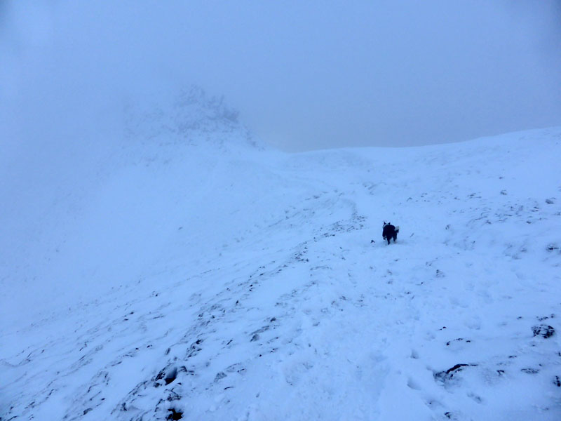
To Cofa Pike |
Cofa Pike in Snow |
~~~
Grisedale Tarn
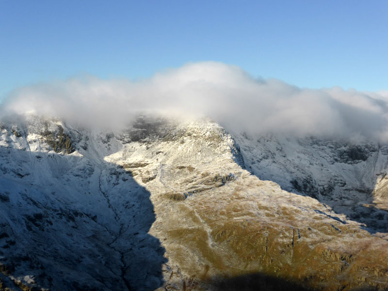
The plan had been to take the flank path from Deepdale Hause to Grisedale Tarn for a walk up Seat Sandal, but the appeal of St.Sunday Crag was too great and it appeared that the cloud was breaking as it headed eastwards.
~~~
 |
 |
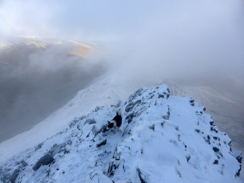
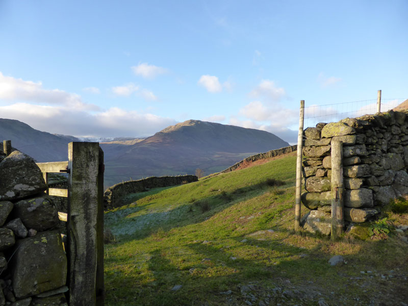
Deepdale Hause |
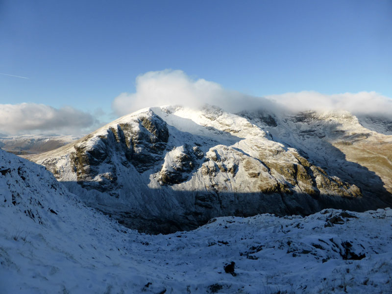
St.Sunday Crag |
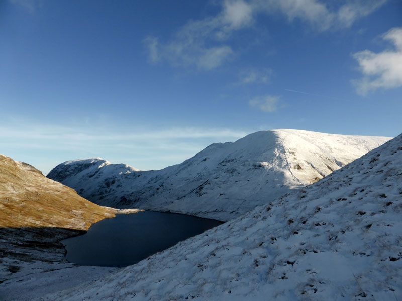
Molly spots an opportunity to greet other walkers and a little later, the cloud has cleared off our target.
~~~
St.Sunday in Snow

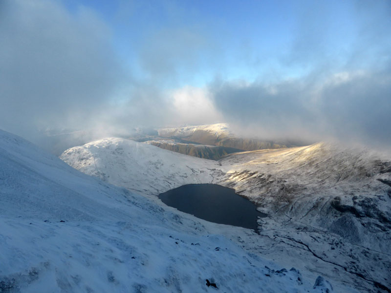
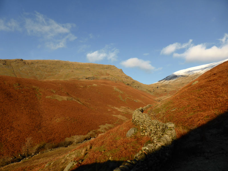
St.Sunday Crag Summit 2,756ft asl
Viewers will note that Fairfield remains in cloud. It's back to Deepdale Hause now for the walk down to Grisedale Tarn.
Gavel Pike
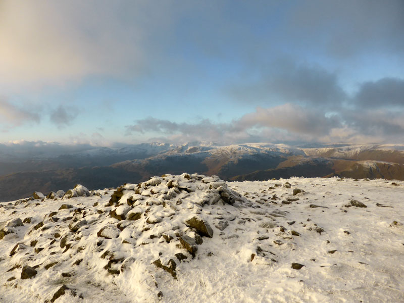
Looking East, Gavel Pike is covered in snow and then the eye is drawn to the ridges of the Far Eastern Fells. Click the image for annotation of all those fell tops. Only joking! Work it out for yourselves and send your answers on a postcard to the usual address.
~~~~~
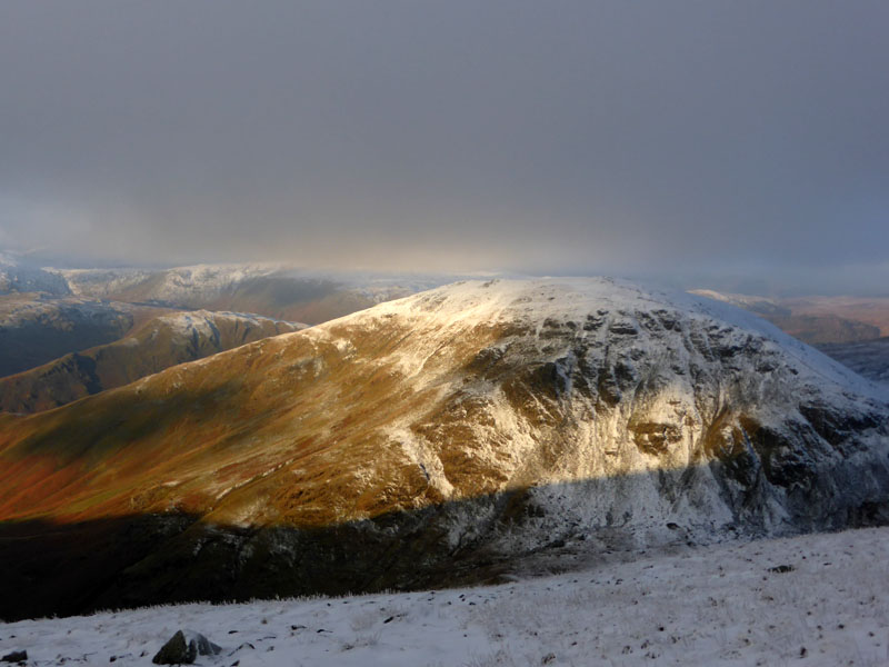
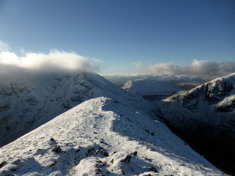
Nethermost Pike
The east ridge of Nethermost Pike leads into the clouds which also shroud the Helvellyn range.
Dollywaggon Pike from Deepdale Hause
We head down this way to the traverse route for Grisedale Tarn, but not before a little soul-searching. Should we, or should we not head back to Fairfield for the anticipated clear views as the mist lifts and disperses??? We should not. We had our chance, we've had great views on St.Sunday Crag, it's time to move on.
To Grisedale Tarn
Lunch was taken on the little rocky outcrop next to the tarn, itself catching the sunshine through Grisedale Hause.
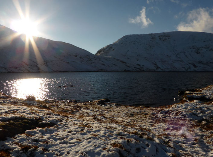
Grisedale Tarn
There followed a slightly boggy trudge up to the foot of the north ridge of Seat Sandal, a point which is also the head of Raise Beck.
 |
 |
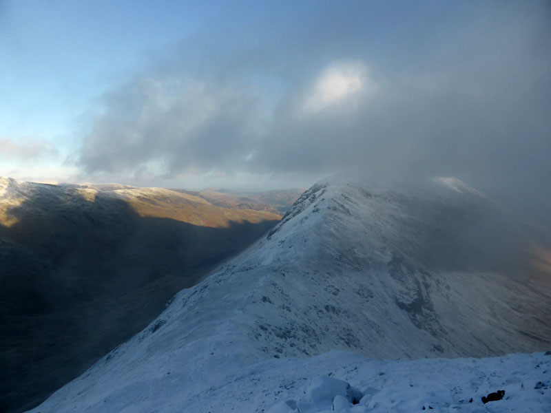
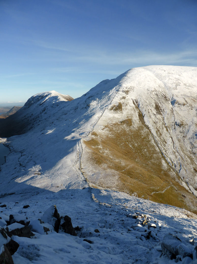
Seat Sandal North Ridge
This was my first clear view back to Fairfield, seen here in sunshine. St.Sunday Crag is the one further away. The wall leads up to the summit of Seat Sandal.
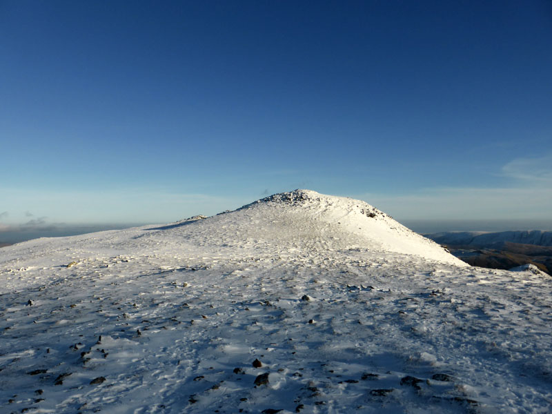
Seat Sandal Summit 2,415ft asl
Another great place to be on this fine day.
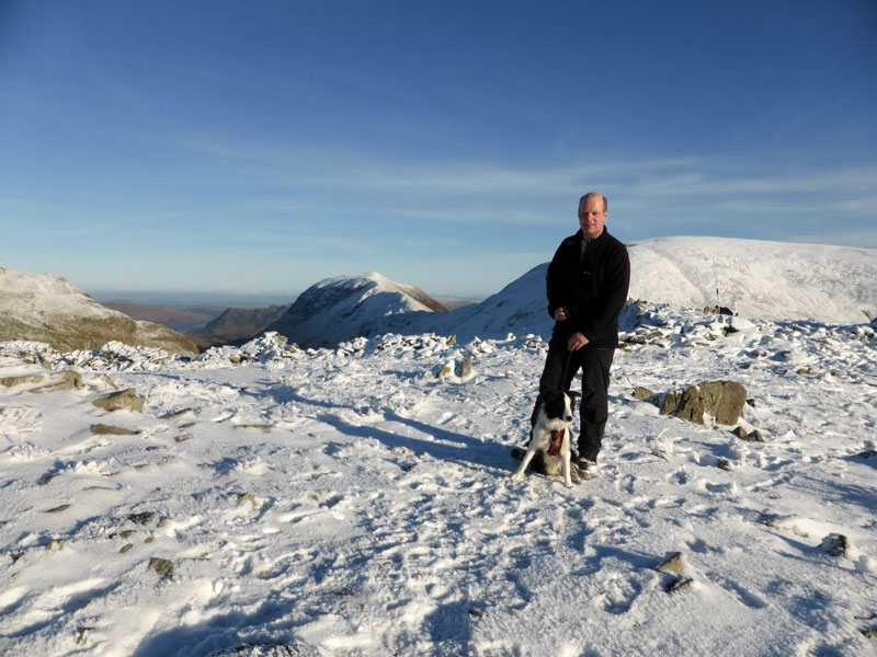
Me n' Molly on top of Seat Sandal
Seat Sandal Descent
This is a steep and challenging descent in any weather. From Grisedale Hause, we headed (right) into Hause Moss for Tongue Gill.
Gavel Crag
Gavel Crag, on Seat Sandal's south-east side is a prominent feature and the large boulder appears to have fallen from the crag.
 |
 |
Tongue Gill
Looking back to our descent down Tongue Gill, looking forward was rather bright into the low sun.
 |
 |
Steel Fell |
Seat Sandal |
 |
 |
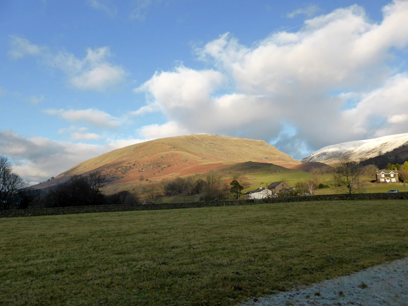
Stone Arthur |
Roche moutonnée |
Viewers are wondering why I parked at the far end of Grasmere, when there is a more handily placed lay-by at the north end of the village. Ah! The method was not to make the walk unnecessarily long, but to force me to walk through the village and straight to Baldry's door.
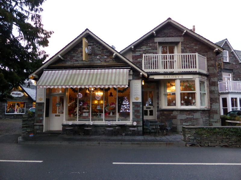
Baldry's Tearooms
Walkers: Me n' Molly
Time taken: 7hrs 10mins over a distance of about 12 miles.
Route: Grasmere roadside (south side); route up to Stone Arthur, Great Rigg, Fairfield, Cofa Pike, St.Sunday Crag, back to Deepdale Hause, Grisedale Tarn, Seat Sandal north ridge, Seat Sandal, Grisedale Hause, Tongue Gill, Grasmere.
Weather: Cold, dry and sunny (for the most part).
Refreshment: Baldry's Tearooms, Grasmere. Tea n' Tiffin! Top place, so much so that I cannot comment on the other cafes as I always seem to end up here. Well behaved dogs welcome. The Tiffin is substantial and very appealing, take care not to order two slices.
Roche moutonnée: Smooth on one side, ice-plucked on the other. Your homework for this week is to use your local library and find out more about valley landforms in post-glacial landscapes.
PS: getting out of the Lakes from Grasmere on a busy afternoon has become rather tedious. It took one hour from Grasmere to Ings; how can I complain when I am part of the problem? How about a tunnel or a very large bridge taking cars over Ambleside? Discuss.
All photos copyright Richard Ratcliffe 2014 ©
Take me back to the start ....