
~Great Dodd~
12th June 2015
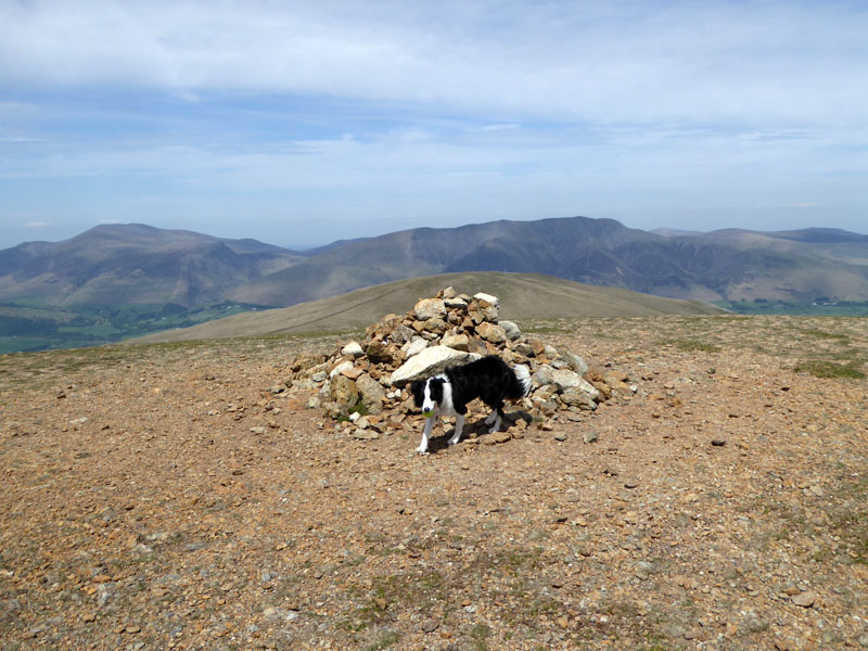
Great Dodd Summit
The only previous time I've walked on Great Dodd was a very dull day and I left a note-to-self not to return until the sun was shining. This is the day, Molly is with me and perhaps you, the reader, might hazard a guess as to how many miles we will cover before reaching the top of Great Dodd - our first summit of the day?
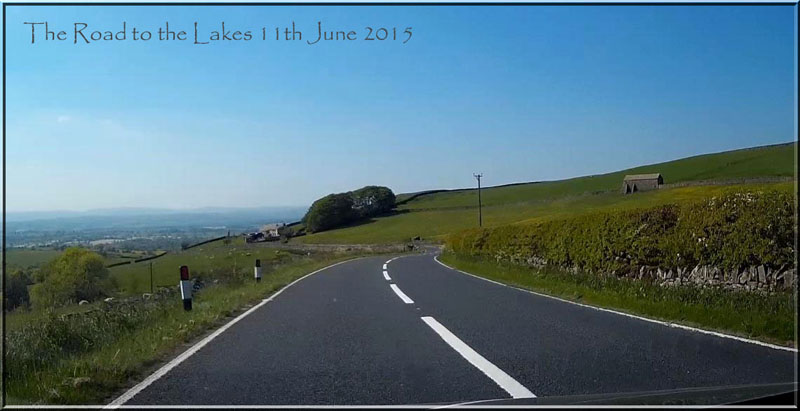
A682 Barrowford to Gisburn
The dashcam records the view on the A682 on the afternoon of Thurdsay 11th June. One clear benefit of these cameras is their ability to take photos from places you would not normally stop and stand.
 |
 |
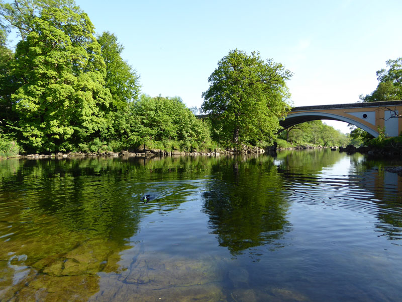
The "New" Bridge, Kirkby Lonsdale |
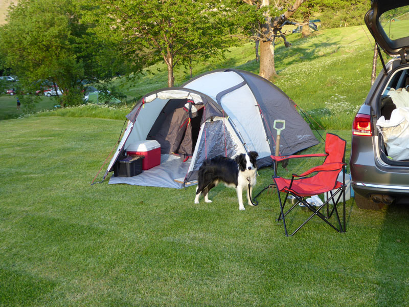
Gillside Farm Campsite |
We stopped for a break at Kirkby Lonsdale before heading up to Glenridding for a two-nighter at Gillside Farm Campsite. The only other tent on the "top field" was occupied by the same couple who were in the same spot last June. They have been elsewhere in the meantime, so they say! They spotted us as from that day to this, nobody else has brought a garden fork with them....
 |
 |
Birkhouse Moor |
To Ullswater |
The walk started from the campsite at 07:40hrs and we took the private road on the slopes of Glenridding Dodd to reach Ullswater.
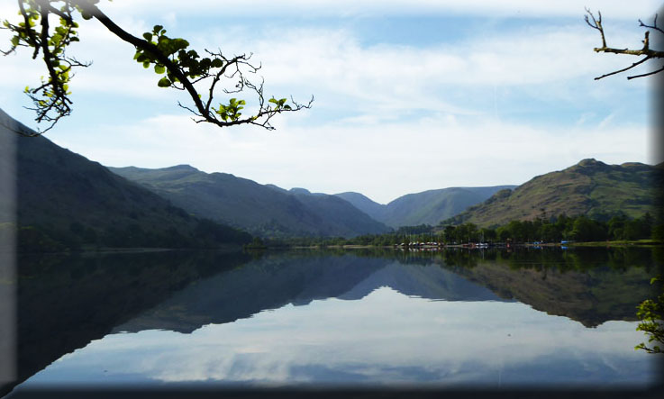
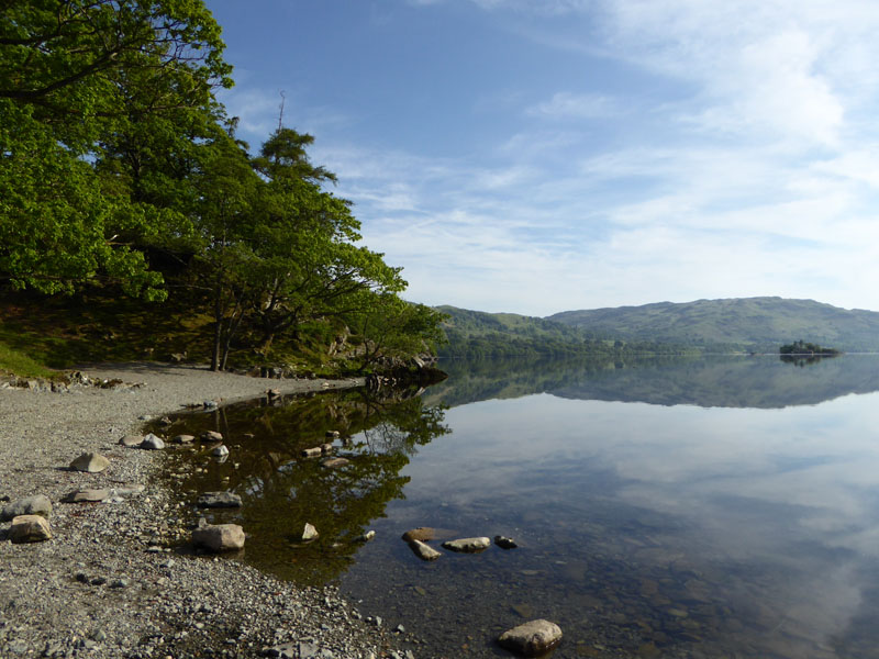
Ullswater
It is now possible to walk from Glenridding to Aira Force with a minimal amount of road walking.
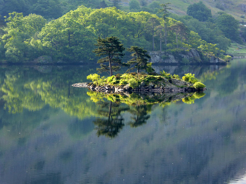
Wall Holm
 |
 |
Ullswater shoreline with Norfolk Island and Gowbarrow Fell in the distance; tall moutains beyond the head of the lake.
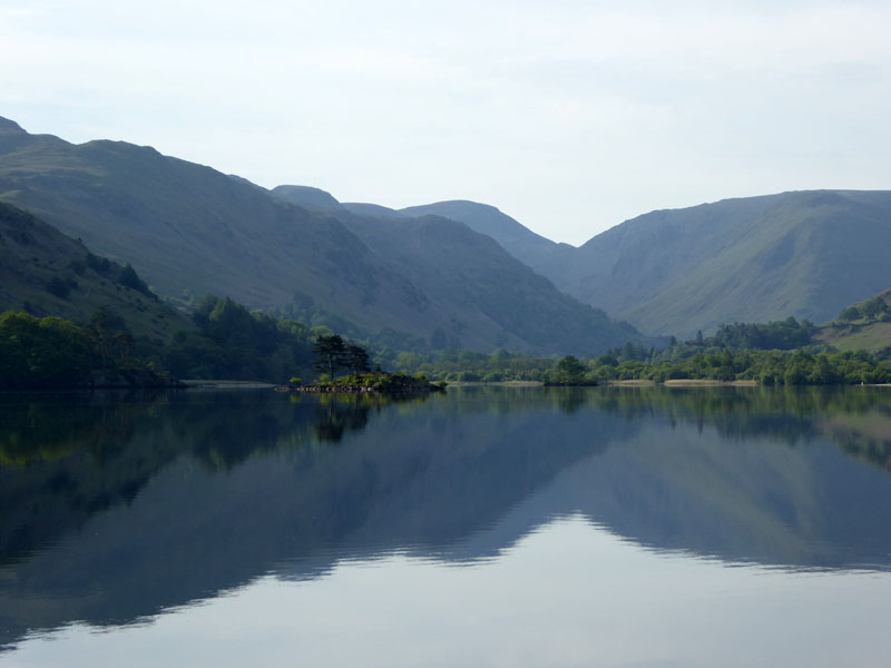
Glencoyne
Stybarrow Dodd beyond Glencoyne Head and the farmstead of Glencoyne. The path to Aira Force is safely inside the field away from the road, just watch out for the local herd of cows.
 |
 |
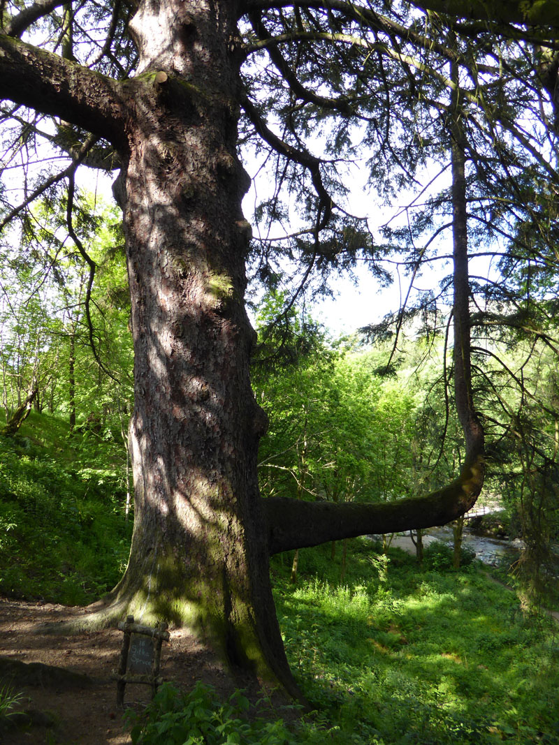
Sitka Spruce |
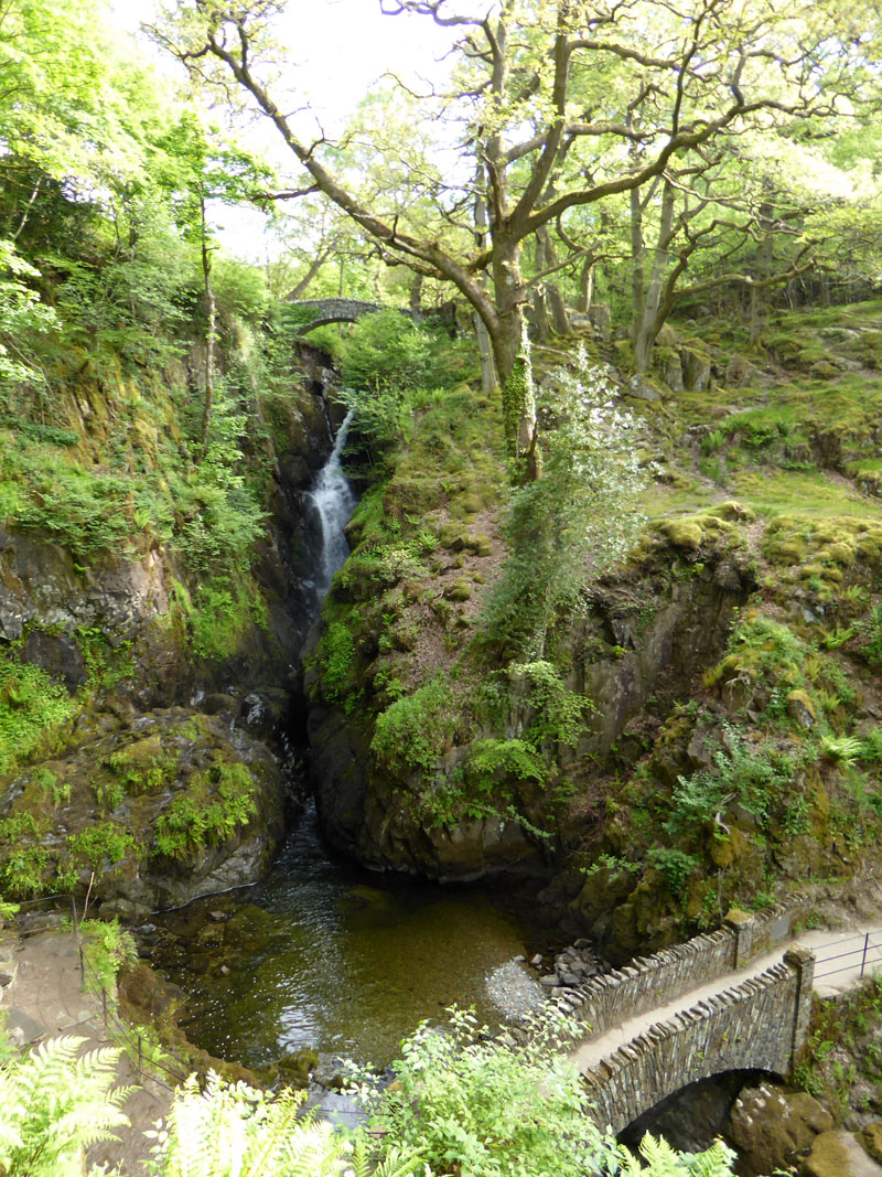
Aira Force |
Aira Force now has a pier for the steamers to use and a regular summer service links Glenridding and the waterfalls' walk. Check the Ullswater Steamers website for timings etc.
Play Pools
Whoever designed Aira Force beck put some play pools in at the top end of the walk. The "new" bridge allows for a safe circular walk around the woods and waterfalls.
 |
 |
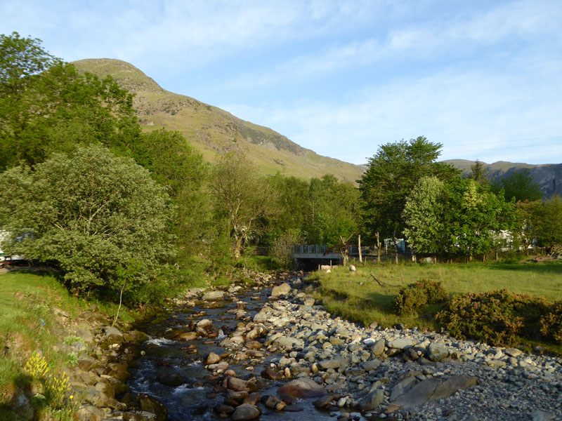
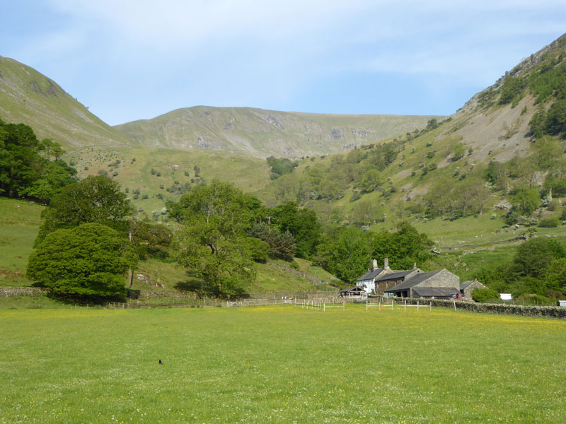
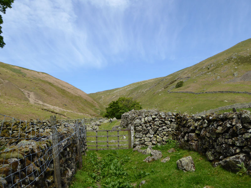
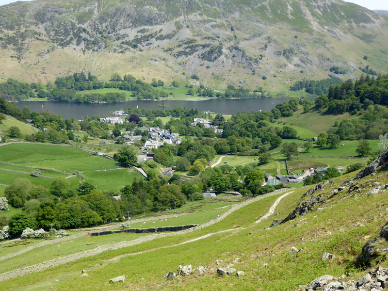
To Dockray
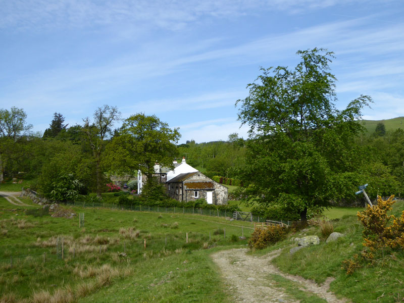
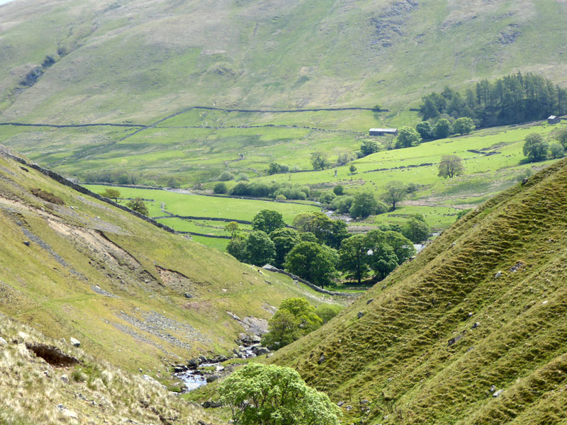
Out of the woods and off to find the small hamlet of Dockray. Millses is the name of the property on the right. We are now four miles into the walk and have gained just 300ft of ascent, but we are about to join a "Wainwright" ascent route of Great Dodd. He says "All ascents of Great Dodd from Dockray are uninspiring and dreary, and most unpleasant in wet weather." That should put most folk off, the peace and quiet looks set to continue.
 |
 |
Dockray House |
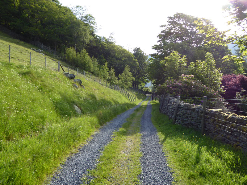
To Dowthwaitehead |
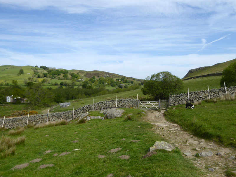
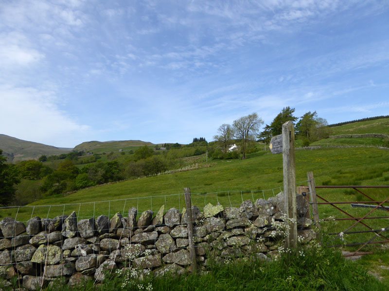
The walk route followed the road out of Dockray in the direction of High Row and then its fields from a footpath sign at Green How.
Dowthwaite Crag
Fields 1,2 & 3 were fine; field 4 is Lucy's Field, 5 & 6 no problem, but 7 is marshy and somewhat unpleasant. All gated, no stiles, no cows, some sheep and great views. The fields are not numbered on the map or on the ground, I'm just trying to be helpful. Dowthwaite Crag on the right, Stybarrow Dodd to the left and a bit of Great Dodd if you look hard enough.
Dowthwaitehead
A farmer was sorting his sheep in the middle of the hamlet, forcing us a little wide and denying a good photo opportunity.
Rush Gill
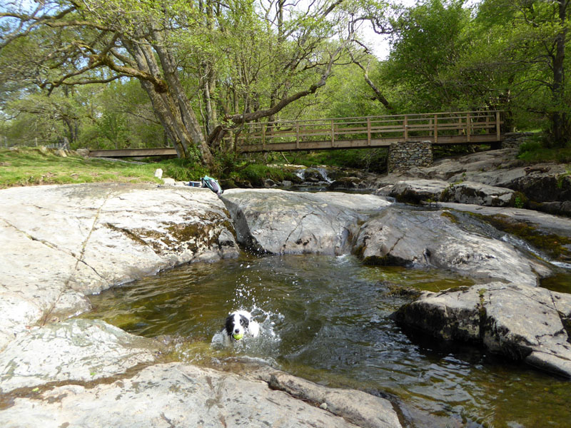
Rush Gill leads into Deep Dale. The footpath is up the slope on the right, but we head straight up the gill to see what's happening.
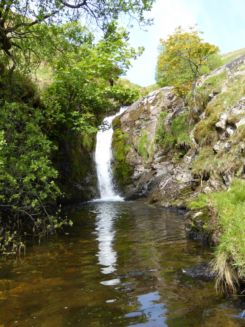
Waterfall in Rush Gill
This would be a popular spot if it was a bit more accessible, a deep plunge pool in a secluded spot.
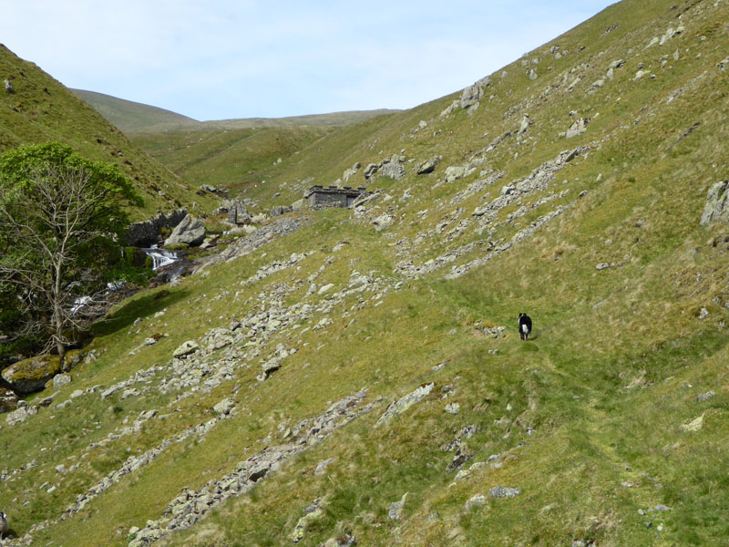
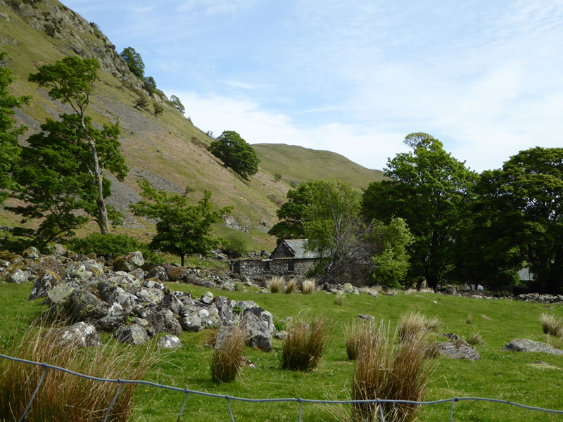
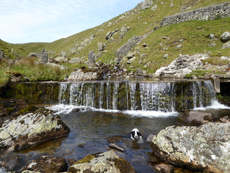
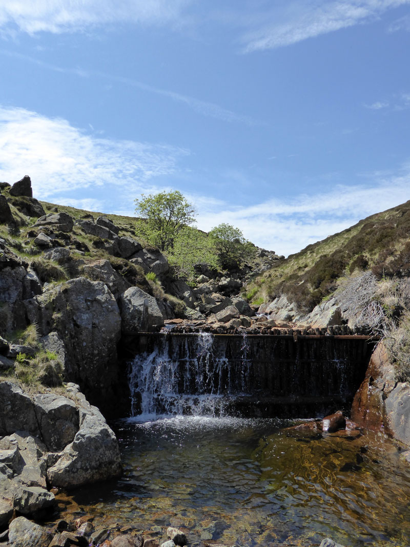
Water Works (disused) in Rush Gill
 |
 |
The weir for the water supply and a look back down the gill to Dowthwaitehead.
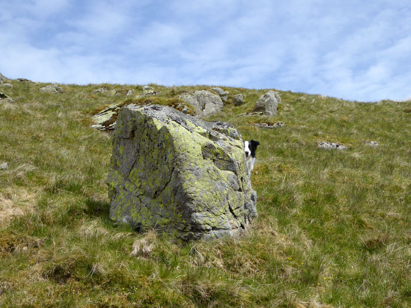
Hide and Seek
Now is the uninspiring bit across rough grass and drying bogland. Hard going in very warm condtions. Molly takes her turn at hiding and I spot her peeping out from behind the boulder.
 |
 |
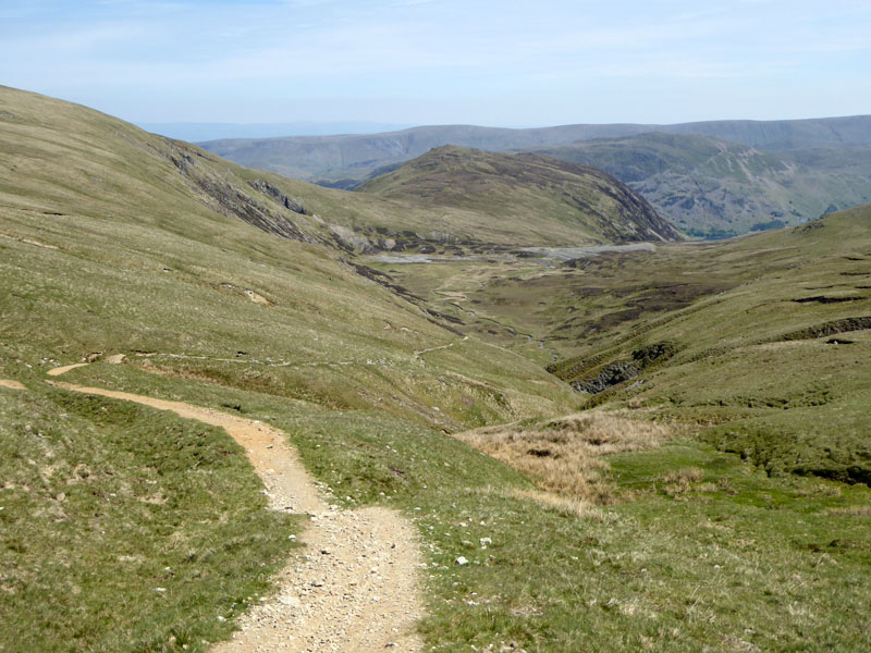
To Great Dodd |
Urghhhh! |
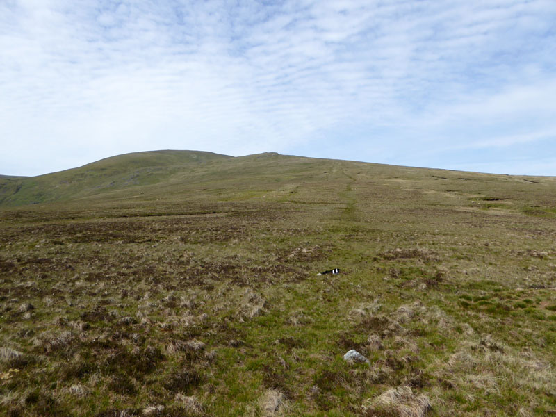
I was trying to find positives on this untidy trudge, At least it's not raining. The other positive would be that we met nobody else en route to the summit.
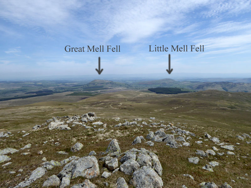
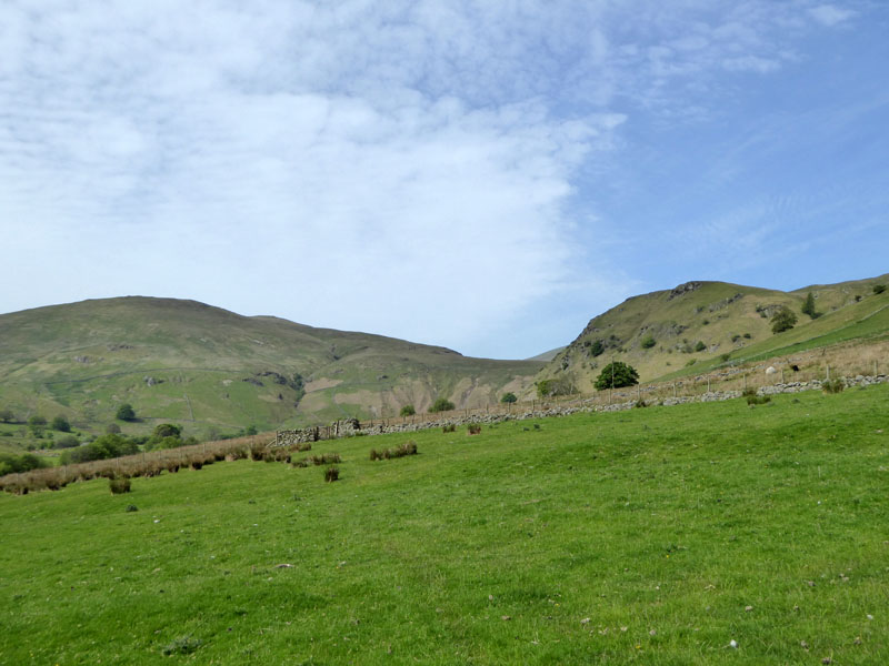
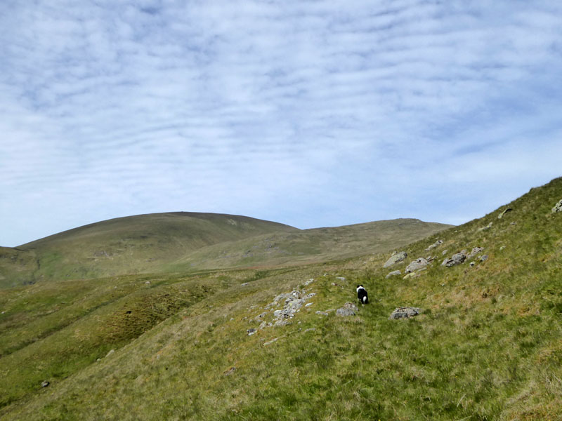
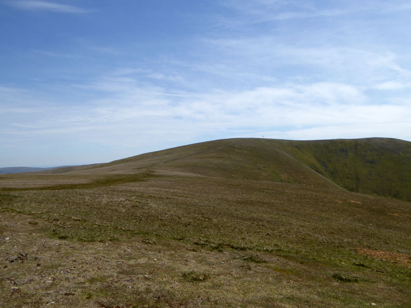
Randerside
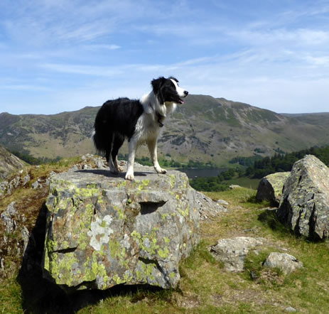
The rocky outcrop called Randerside breaks the monotony and offers seating with a view towards the North Pennines and the Mell Fells. Then turn around and march up to the summit. Great Dodd won't have a fan club, some will tick it off a list by climbing Clough Head and then heading over here to Watson's Dodd, others might try a longer ascent. Not many will walk eight and three-quarter miles to find its highest point.
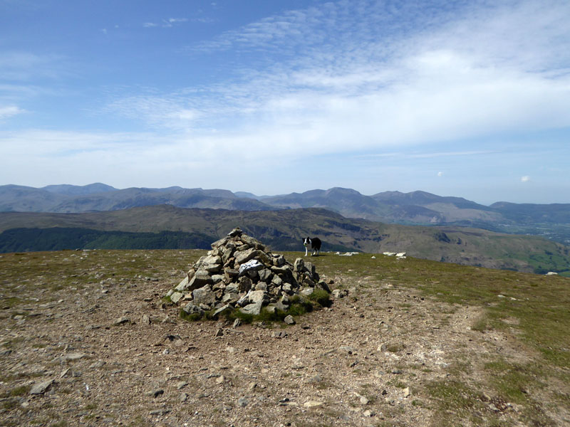
Great Dodd Summit 2,807ft asl
 |
 |
To Watson's Dodd |
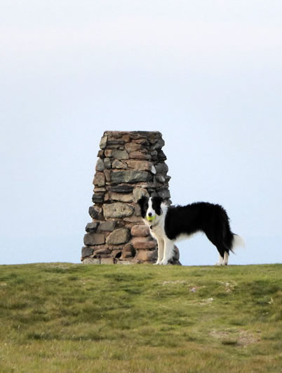
Watson's Dodd Summit 2,584ft asl |
~~~
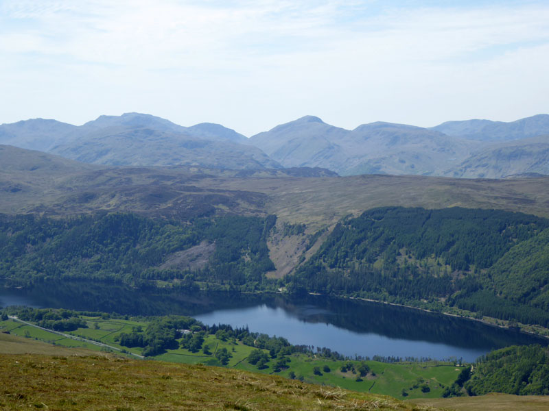
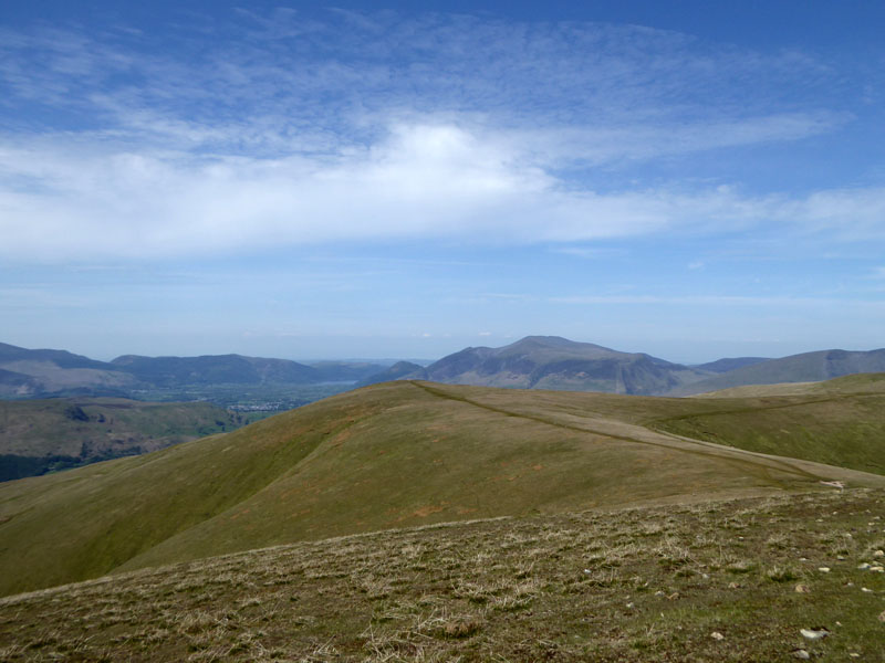
Thirlmere
We are taking a holiday down there before too long. Dale Head Hall Hotel has some self-catering units in the grounds and it seems like a good location to me. An abundance of walking opportunities and not too far from Ambleside, Grasmere and Keswick.
 |
 |
Ahead to Stybarrow Dodd |
Looking Back to Watson's Dodd |
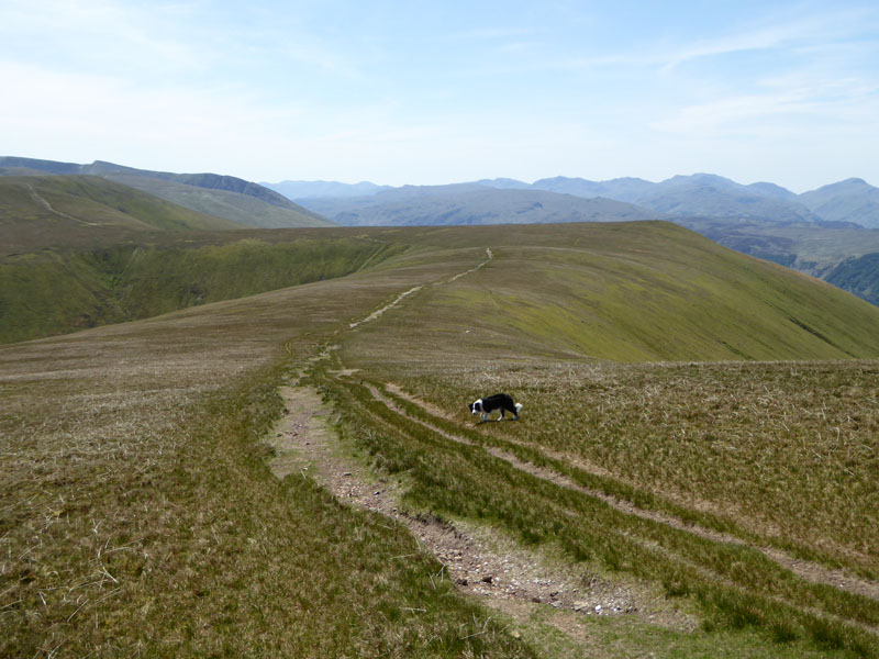
Easy going on the smooth ground that is the Dodds. Stybarrow Dodd is next up.
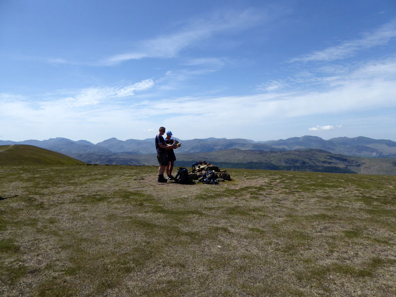
Walkers on Stybarrow Dodd
The cairn is not quite the highest point, but who cares? These guys have climbed Stybarrow Dodd and someone has put some stones here with great views all around, let's settle for that.
 |
 |
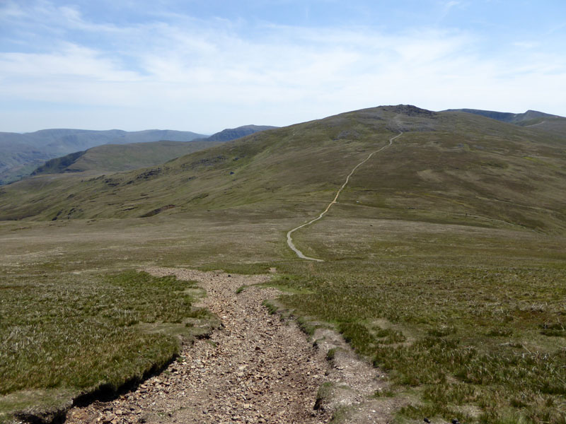
To Sticks Pass |
Sticks Pass |
Sticks Pass is the chosen route of the fells, with Sheffield Pike dead ahead. Fast forward 40 minutes to the water action in Swart Beck, the watercourse at the end of Sticks Gill.
Swart Beck
And from here, a simple walk back to Glenridding, with the sun still shining.
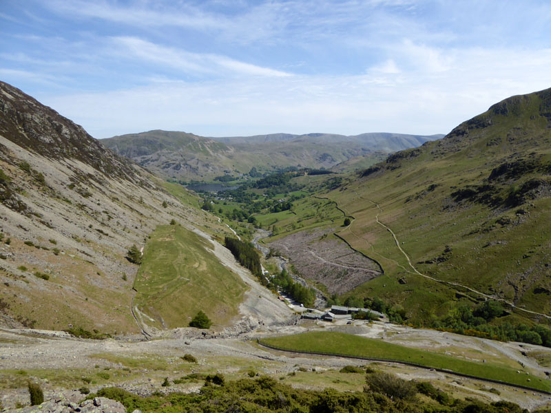
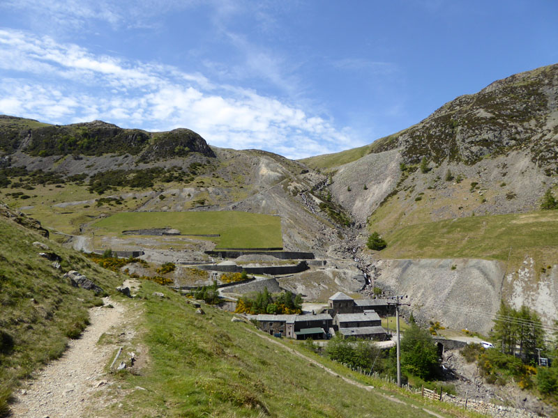
Greenside Mines
~~~
Glenridding
A stroll along the disused leat high above the path and then we dropped down for the walk back to the campsite.
Walkers: Me n' Molly
Time taken: 7hrs 35mins over a distance of about 14 miles. 3,300ft of ascent.
Route: Gillside Farm, Ullswater, Glencoyne, Aira Force, Dockray, fields route to Dowthwaitehead, Rush Gill, grassy track up to Randerside and then Great Dodd. Watson's Dodd, Stybarrow Dodd, Sticks Pass, Swart Beck, Greenside, Gillside Farm.
Weather: Sunny and Warm - I wonder when I last used these two magical words to describe the weather on a Lakeland walk?
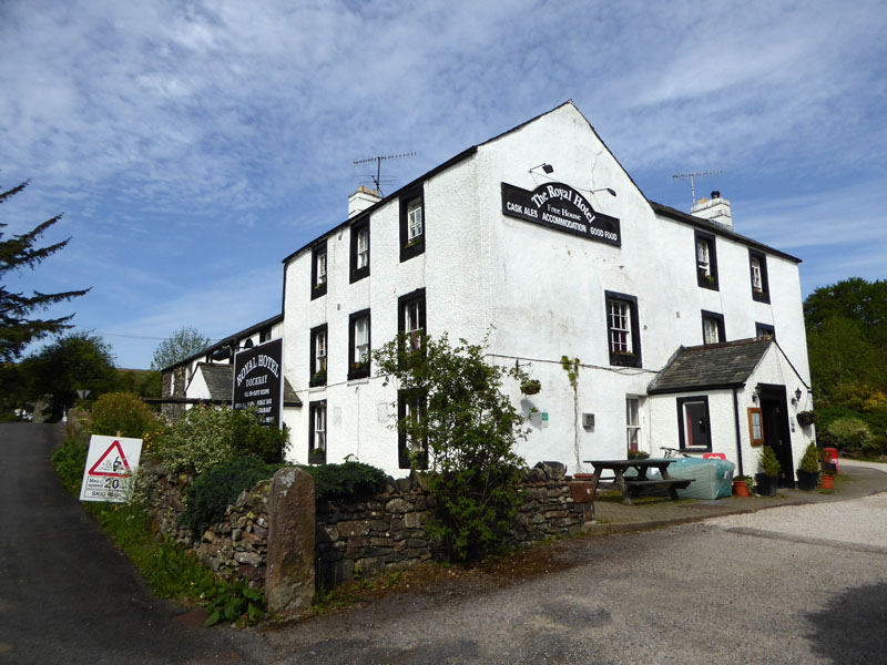
Refreshments: In the evening, we went to The Royal Hotel in Dockray. The pub welcomes dogs, the food was good. But two questions: 1. Why do you always get more pate than will fit on the bread provided? 2. Why must I receive my burger etc. on a piece of wood? Call me old-fashioned, but I quite like plates.
Little Mell Fell
Later, we went up Little Mell Fell from the nearest point on the roadside. 35 minutes to/from the car and that includes some dawdling at the top. That's twice for me and first time for Molly up LMF, I think that will do for now.
All photos copyright Richard Ratcliffe 2015 ©