
~Meol Hebog~
29th July 2016
A nagger of my consicence for longer than I care to remember, Moel Hebog dominates the view from Beddgelert and arrests the view of travellers south from Rhyd-Ddu. New ground, fantastic views...
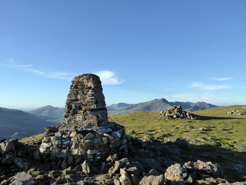
Moel Hebog Summit
Scroll down for photos and a description of the walk....
 |
 |
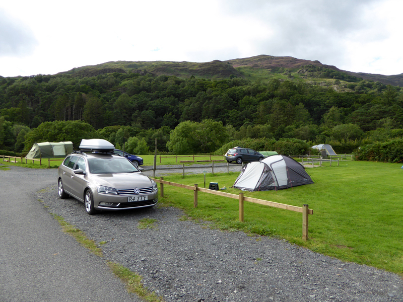
Cae Du Campsite |
Moel Hebog from the campsite |
Cae Du is close enough to Beddgelert to enjoy the benefits of the shops and pubs etc., but far enough away to be remote from any noises and streetlights. Barriers are closed between 2200hrs and 0700hrs, so no late arrivals or early departers - but cars can be parked the other side of the barriers.
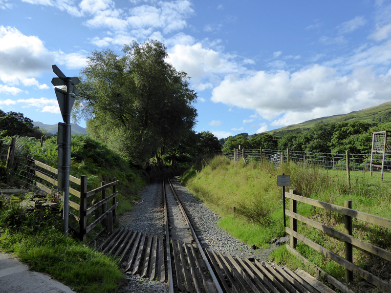
Welsh Highland Railway
The walk went under the railway once and over it twice, the double-reverse curves being the only way the trains can climb the valley up to Rhyd-Ddu at a typical gradient of 1-in-20.
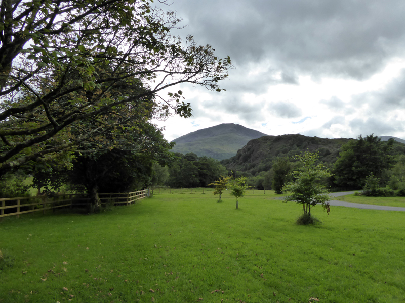
Cwm-cloch Farmhouse
Upon leaving Beddglert, walkers should aim for Cwm-cloch farmhouse at GR581 479. Here the well-made path heads for Rhyd-Ddu, but soon an obvious turn leads walkers toward the fell. I had planned this walk for Saturday, but with everything in place at 17:30hrs on this sunny Friday afternoon, I thought "why not?". Most views on the ascent are in retrospect due to the fell being in the wrong place for good light.
Looking Back to Beddgelert
In Wales, I tend to carry "The Welsh Peaks" by W.A.Poucher (Third Edition 1967). A photographer and climber whose words resemble those more of a headmaster, rather than a guidebook writer and the walk descriptions are far less thorough than Wainwright in the Lake District, but nonetheless they are very useful. "I am astonished to observe the strange footwear worn by some of our young friends; amoung which thin leaather or rubber-soled shoes are common."
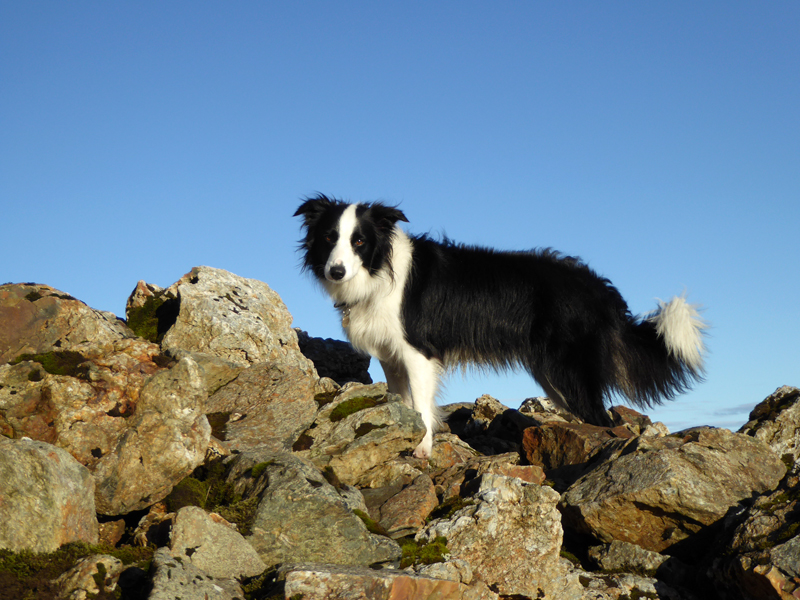
Happy Molly
That pointed peak in the distance has caught my eye!
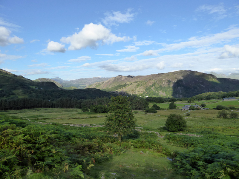
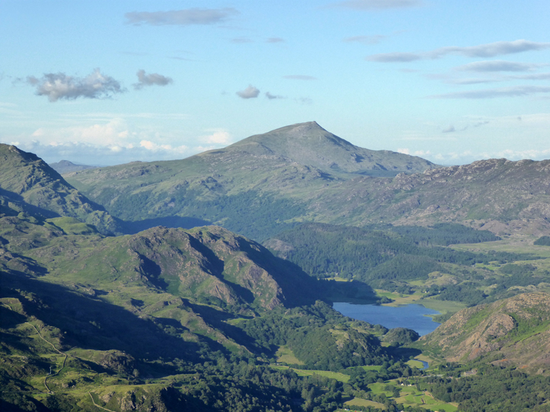
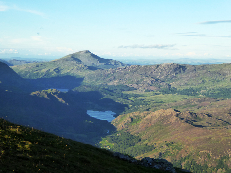
Beddgelert and Llyn Dinas
What a view! In my opinion, Beddgelert sits close to the centre of one of the most beautiful parts of the United Kingdom. "They" have started to clear Snowdonia of Rhododendrons - seen as an invasive species, popular with C19th land owners - hence the bare hillsides on the far side of the village. Apart from that, which will hopefully re-cover quickly with good things, everywhere you look brings a smile to your face! The other pointy peak is Moel Siabod.
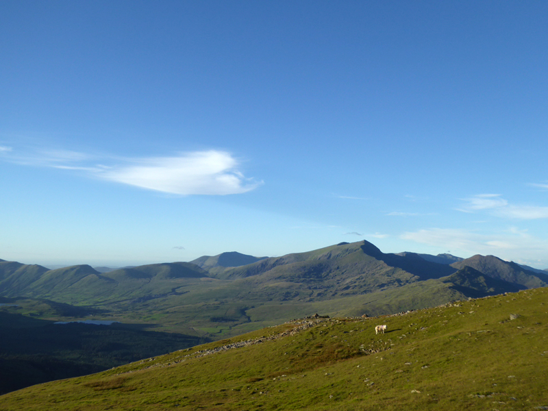
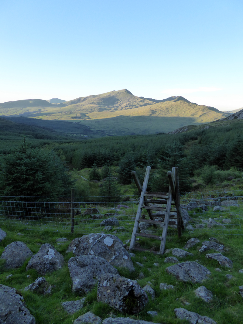
Snowdon
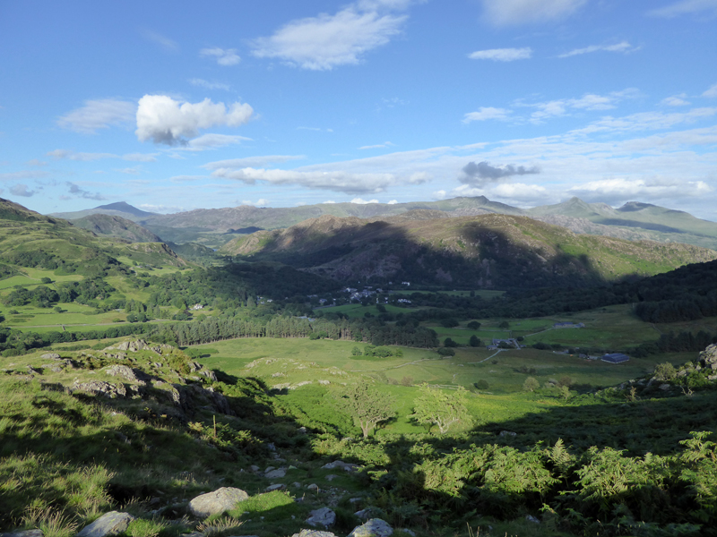
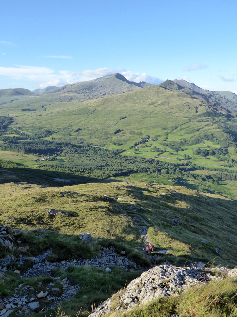
It is impossible to make quick progress, partly because the path gets quite steep, but mainly because of the views of the "engirdling" hills. Over there, Snowdon and the neighbouring sharp point of Yr Aran. The colours in the foreground represent a descending couple with two young children who greeted me with beeming smiles. The legal high of fresh air and exercise is working well today.
Moel Siabod
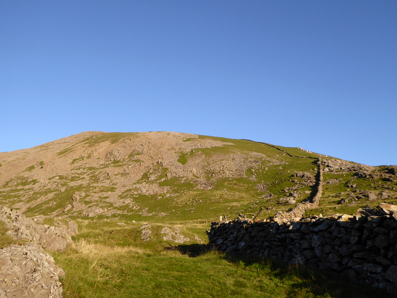
The last 700ft or so of ascent is quite steep over loose stones.
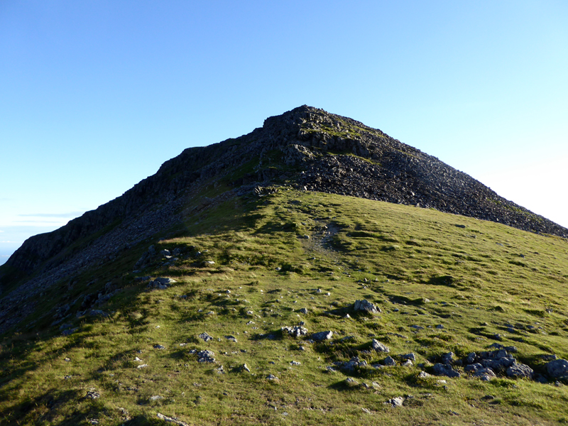
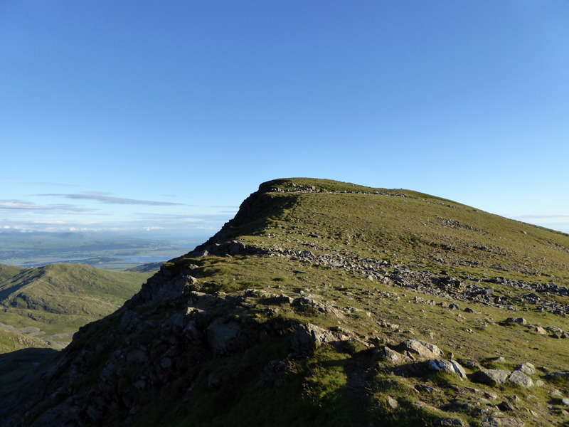
False Summit
Not quite the top comes into view 2hrs after leaving the campsite.
The Thinker
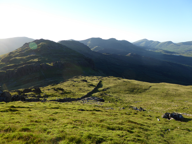
We're still wondering what that dark pointy peak is over there.
To The Summit
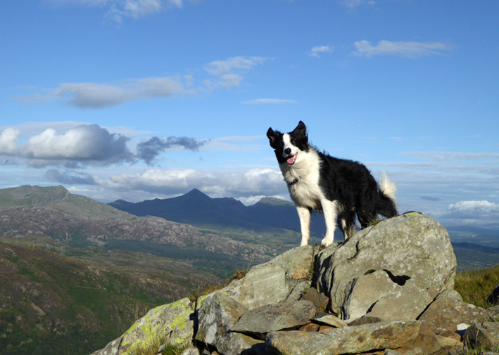
Molly on top of Moel Hebog 2,566ft asl
This is the highest top I have reached on an evening walk. Words cannot express the unforgetable experience of reaching this summit on this day at this time in this weather. It's 2000hrs, boozers are boozing; loungers are wathcing soaps; dog walkers are pottering around parks avoiding some folk and hoping to meet others; and some folk are just looking blandly at small screens.
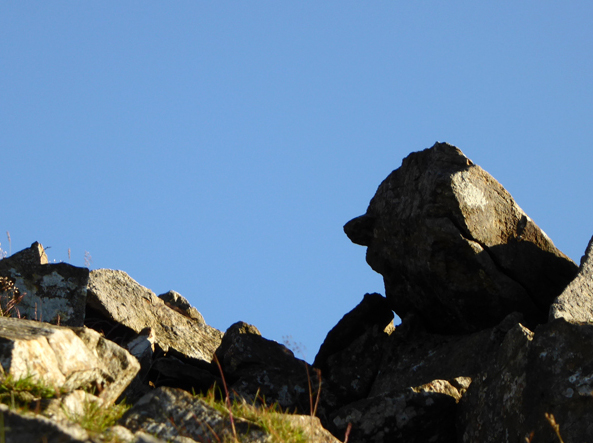
The Trig Point
Without doubt, these are the finest felltop views I have ever had the pleasure of experiencing.
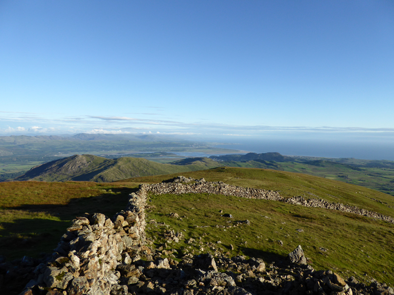
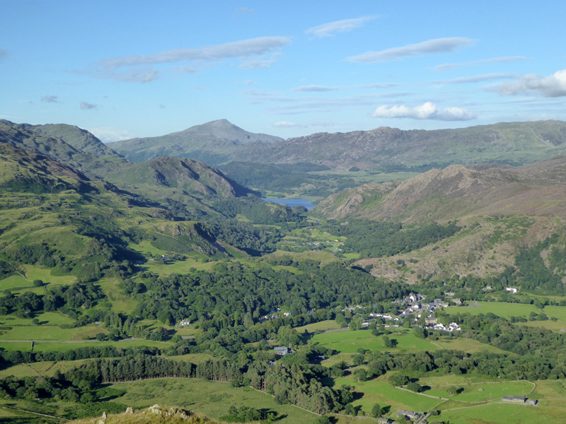
South: To Portmadog
North-East to Snowdon
East to Moel Siabod
Ideally we would have walked on to the two neighbours of Moel Hebog, but there is some pressure of time and whilst I have my map and the light is still good, I seem to have left my compass in the other rucksac.
 |
 |
Northish to The Nantille Ridge (centre) |
Sunlit Northside of Moel Hebog |
The next fell top is that of Moel y Ogof, maybe one for another day. We head into the col of Bwlch Meillionen to find a route back through the forestry plantations.
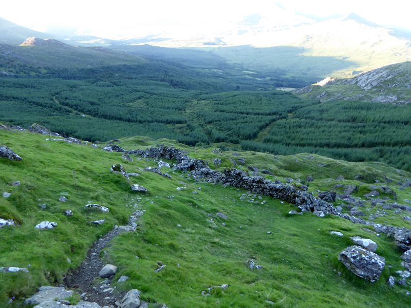
Beddgelert Forest
Somewhere there is a path through that lot.
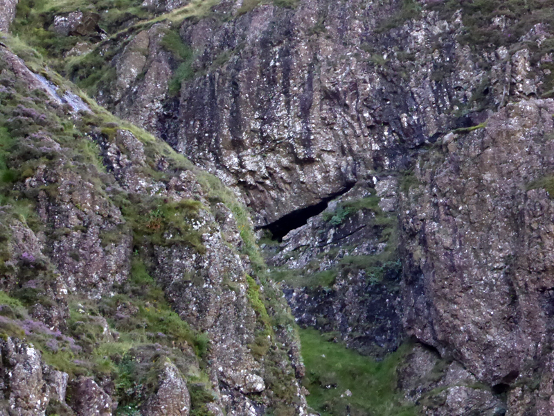
Trial Asbestos Mine? or Ogof Owain Glyndwr (Cave)
Moel y Ogof is home to two features, one being a trial mine for asbestos and the other a cave. This void is probably one of them.
Into The Forest
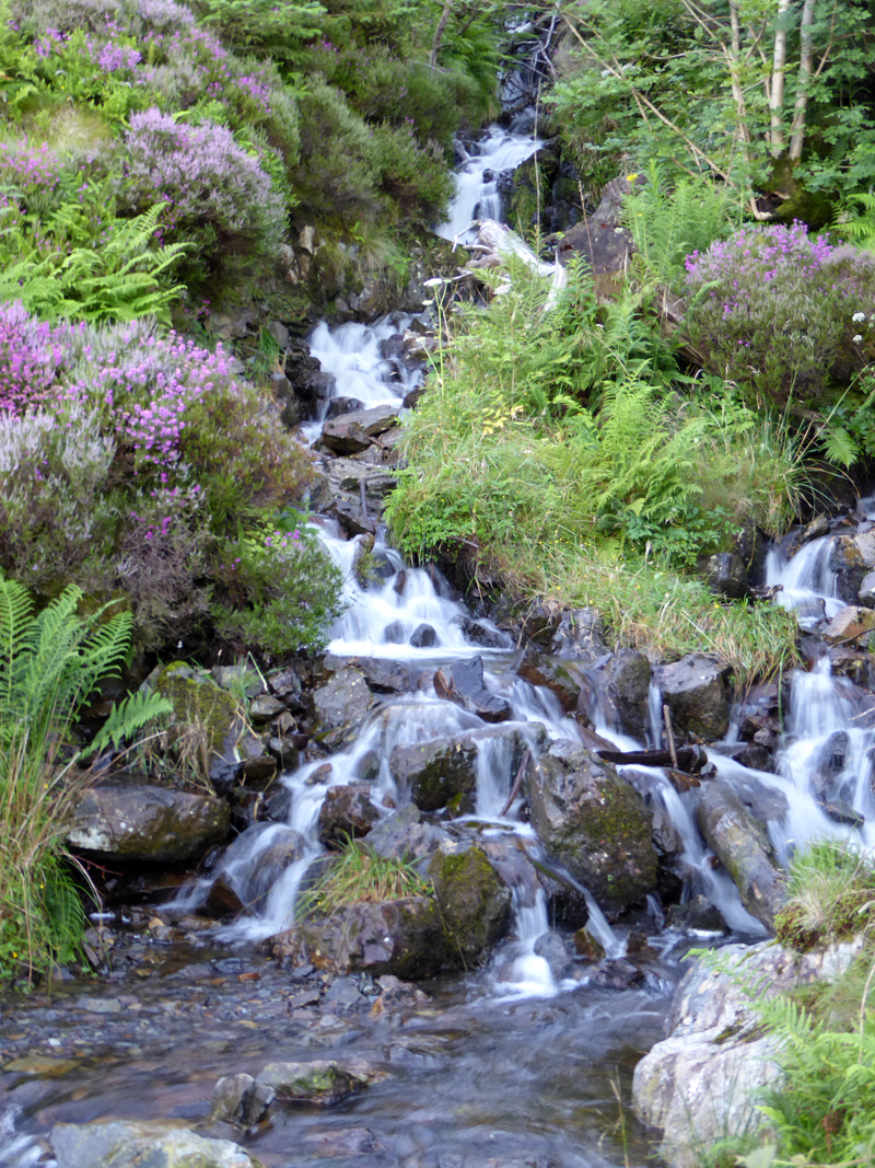
Falls in Cwm Meillionen
It's a bit of a rough footpath through the forest, but the authorities have tried to keep walkers off the main tracks and that's generally what we prefer. Many posts are numbered which could be helpful if you are following a guided trail.
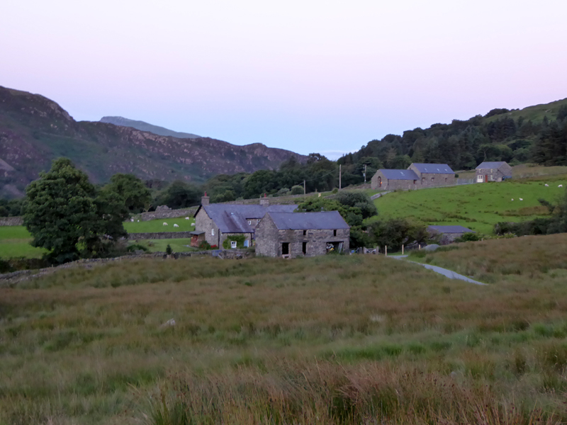 |
Cwm-cloch Farmhouse |
It's an easy final mile or two along good tracks and back to the farmhouse for a walk back over the railway line and into Beddgelert and so to the campsite for a 22:15hrs finish. The Pointed Peak belongs to The Moelwyns, with Cnicht on the left, less prominet from my photographs.
Walkers: Molly The Dog and Me.
Route: Cae Du Campsite, Beddgelert, Cwm Cloch Farm, Moel Hebog on well worn tracks, Bwlch Meillionen, footpath through Beddgelert Forest, Cwm Cloch, Beddgelert, Campsite.
Greetings: On the main body of the walk there was the family of four plus one runner.
Weather: Dry, Sunny with a strong breeze on top.
Time Taken: 4hrs 30mins over a distance of maybe 7 miles, 2,400ft of ascent.
All photos copyright Richard Ratcliffe 2016 ©
Take me back to the start ....