
~St.Sunday Circular~
2nd January 2017
St.Sunday Crag
Scroll down for photos and a description of the walk....
 |
 |
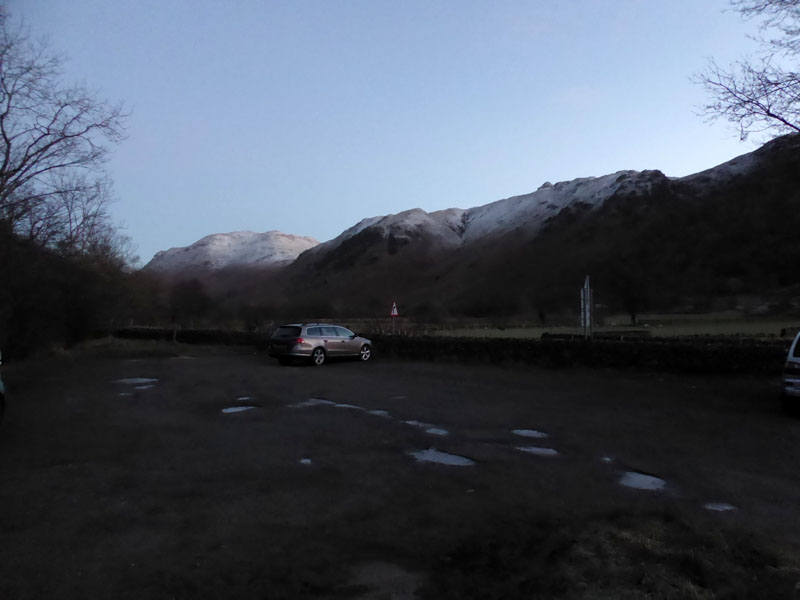
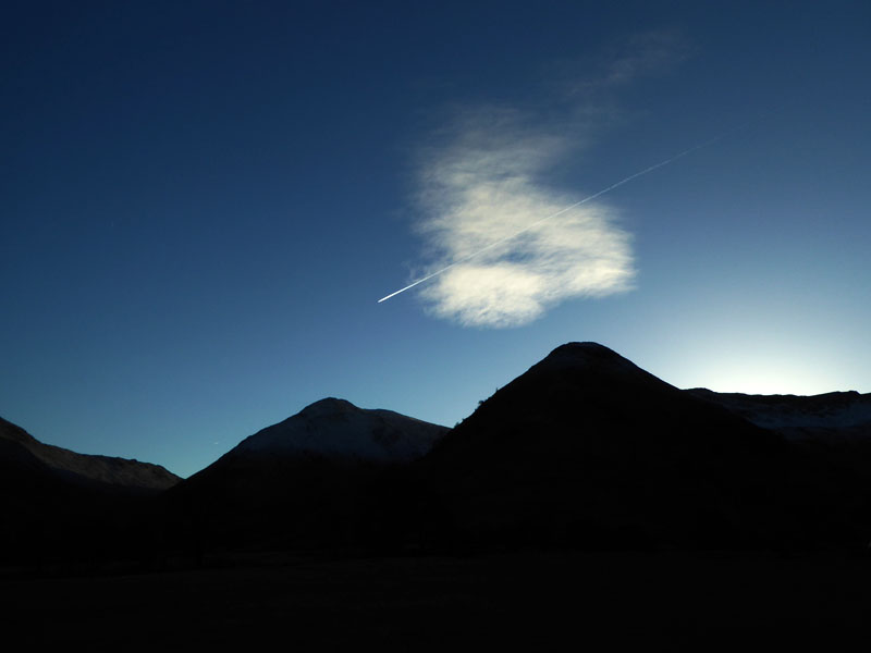
Parking at Cow Bridge (Brotherswater) |
Arnison Crag |
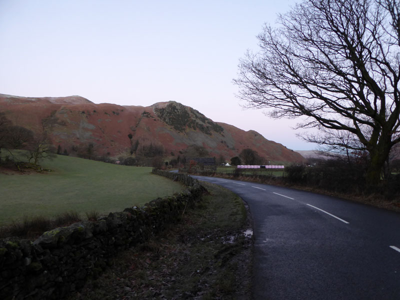
This walk starts at 08:00hrs from Cow Bridge. I was going to park at Deepdale Bridge (right photo, near the pink bales), but knowing that this would be a circular walk, it was better to do the little bit of road walking in the quiet of pre-dawn, rather than the expected frenzy of the late afternoon dash for home.
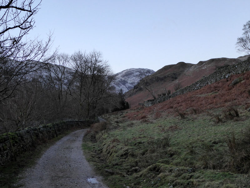
Access Lane to Wall End, Deepdale
The plan is to ascend St.Sunday Crag via the East Ridge, the start of the climb will be at the foot of Coldcove Gill.

Coldcove Gill
The path is clear to see, Latterhaw Crag on the left.
 |
 |
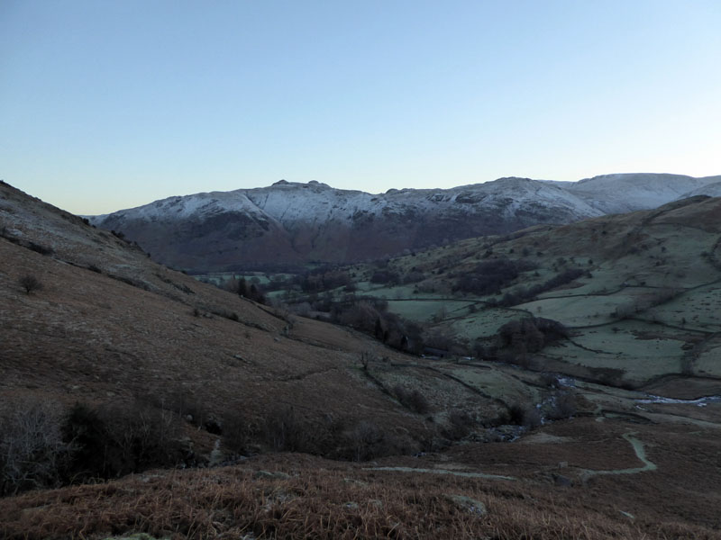
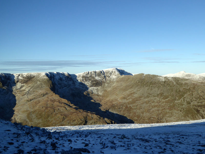
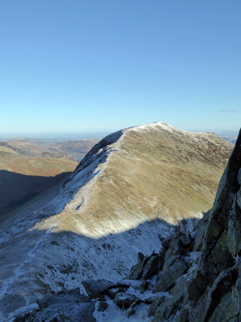
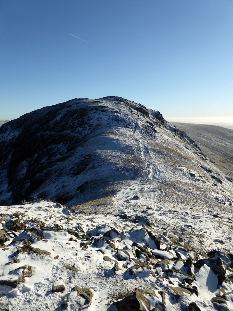
Angletarn Pikes (left) await the morning sun; Lord's Seat (right) ahead is a named crag on the east ridge.
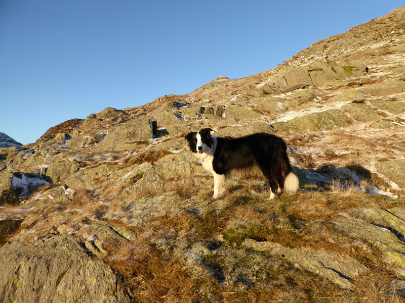
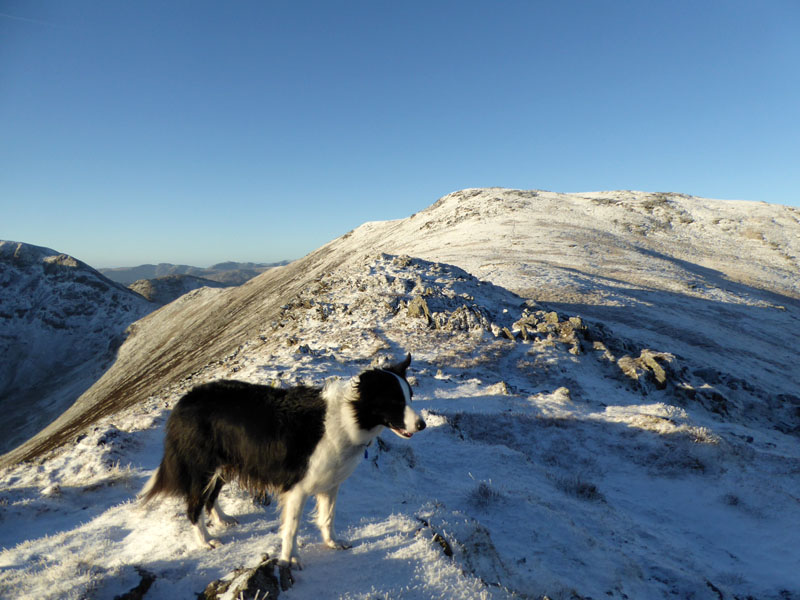
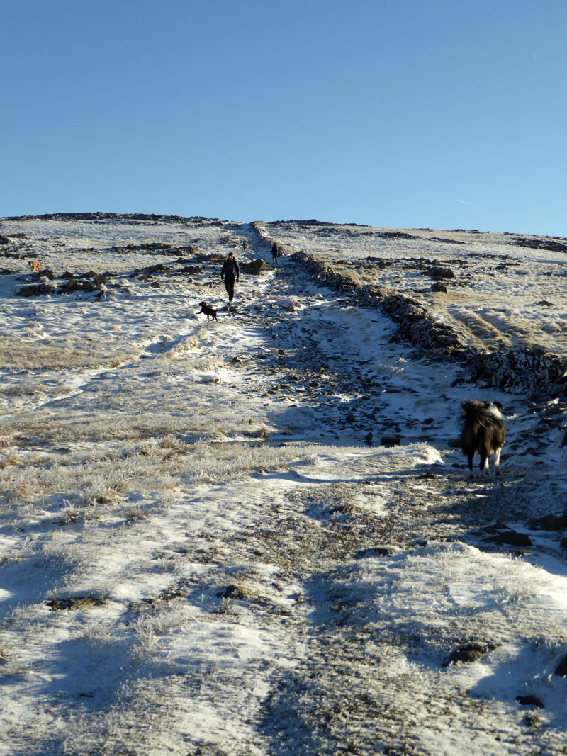
He's got a dog with him...
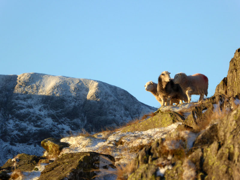
Did you see the sheep?
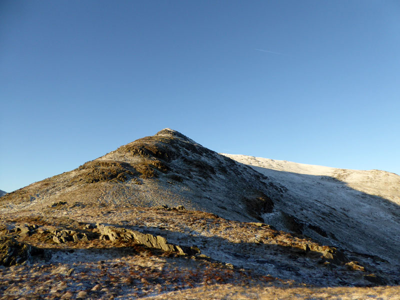
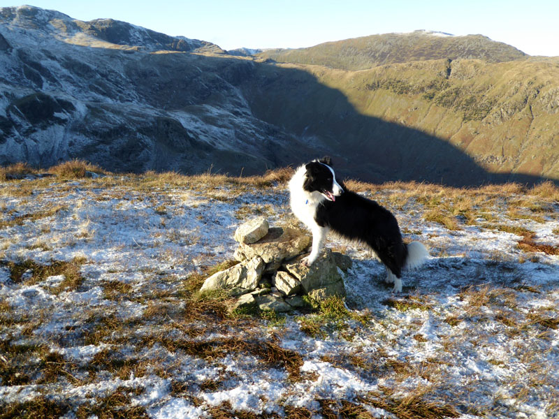
Gavel Pike
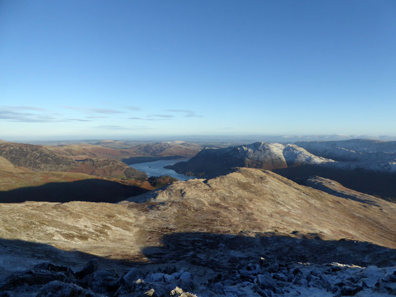
Ullswater
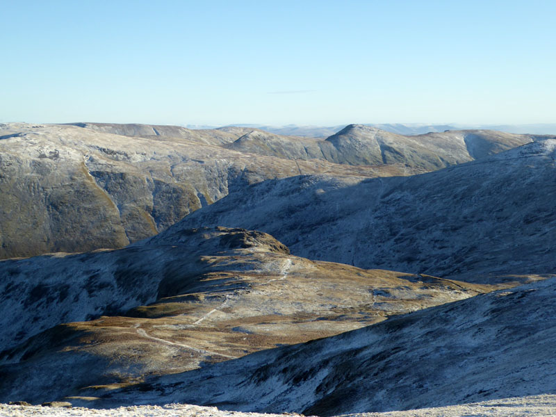
The view to the north east over sunlit Birks (fell).
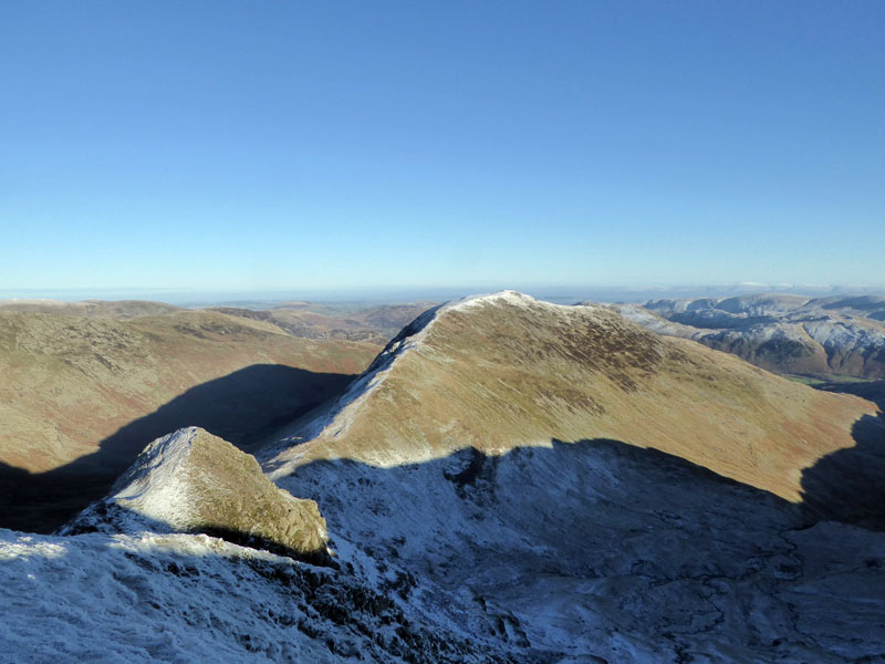
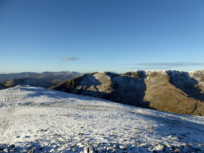
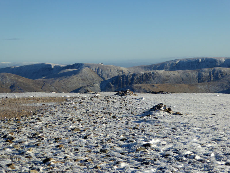
To St.Sunday Crag
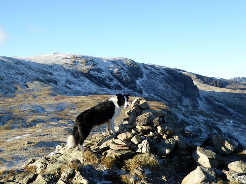
There is nothing to complain about when walking on St.Sunday Crag! That which troubled you yesterday, won't bother you here.
~~~
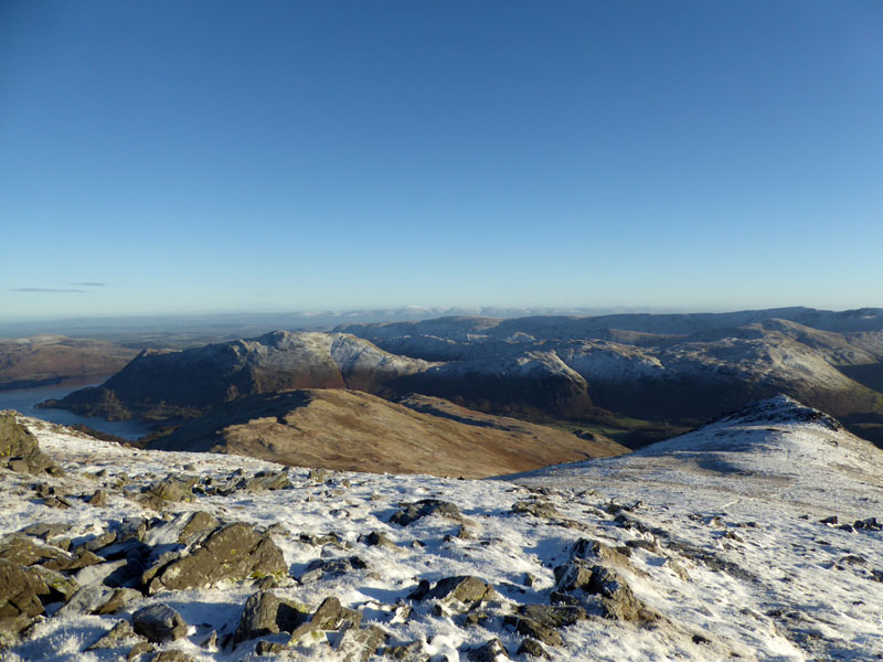
The line of fells beyond the Lakeland group are the North Pennines.
 |
 |
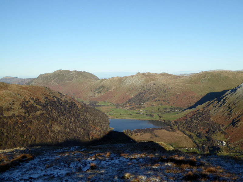
Molly at the summit and a view to Helvellyn. Oh, I could write a hundred or more words to describe how it feels to be up here, but the photos will surely suffice...
~~~
~~~
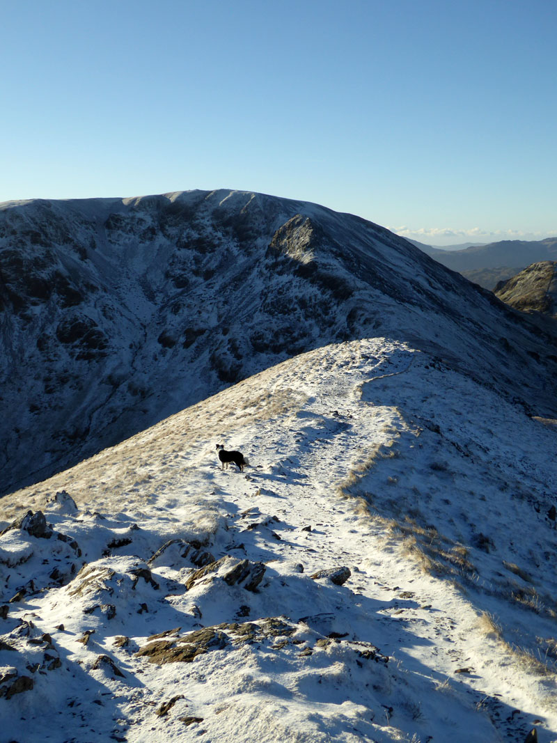
To Fairfield
Sometimes I feel like a prisoner in a strange world away from the freedom of the hills and mountains. But I have my own key and it's good to get these day releases when the opportunity arises.
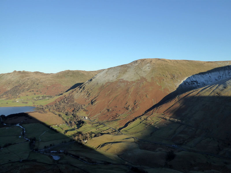
Looking Back
Back in the cold air on the way up to Fairfield, via Cofa Pike; 750ft of ascent.
 |
|
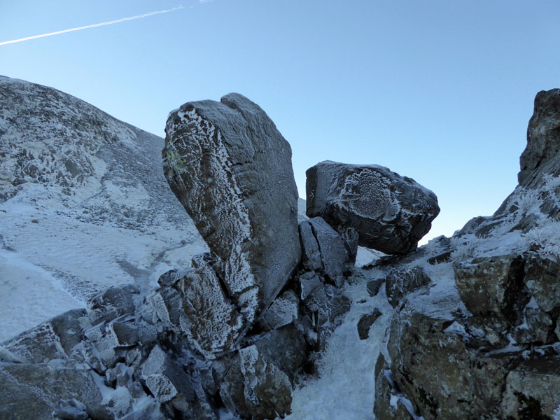
A random accident of history has left large boulders precariously positioned on the side of Cofa Pike (left) and the classic view of St,Sunday Crag and Cofa Pike from Fairfield.
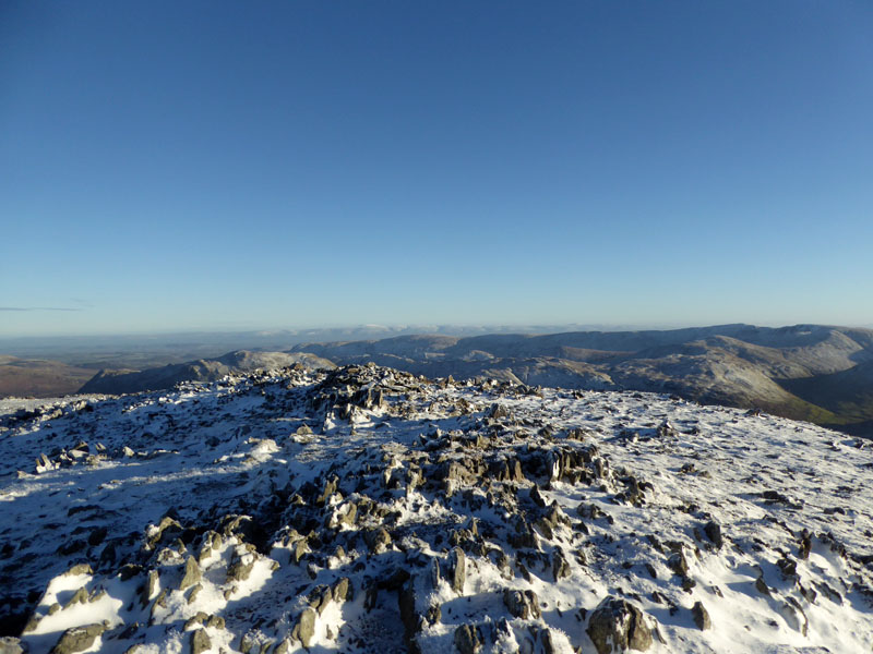
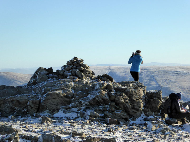
Fairfield Summit Territory
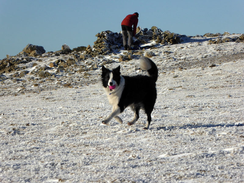
Playtime
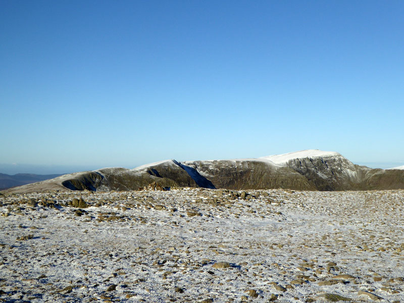
To Hart Crag
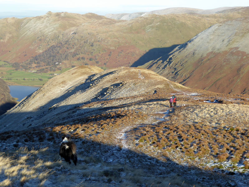
A great stretch of fellwalking over the gentle descending path to the col en route to Hart Crag.
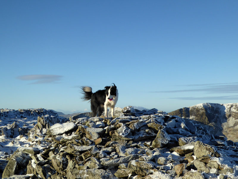
Hart Crag
Usual photos at the summit, but there is a limit to the quantity any webpage should reveal.
To Dove Crag
 |
 |
Dove Crag Summit |
To Little Hart Crag |
At this point I changed the plan from descending back to the car via Dovedale to continuing the fellwalk over to Little Hart Crag.
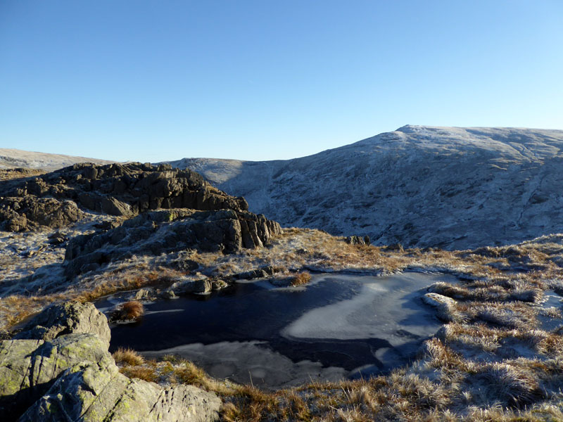
Molly on top of Little Hart Crag 2,091ft asl
 |
 |
Icy pools on Little Hart Crag and then the walk down to the summit of High Hartsop Dodd. It always amuses me when box-tickers claim to have climbed a mountain, when all they have done is cross a ridge or even walked downhill to get to the top. We are summit visiting, not mountain climbing at this point.
Molly on the top of High Hartsop Dodd 1,702ft asl
Statistically, this is Molly's first "new" summit on today's walk, all the others have felt the weight of her paws on previous occasions. So, to celebrate I got the "JetBoil" out and prepared to make a brew. Sadly, only once the water had boiled, I discovered that I was no longer in possession of my little pack of foil-wrapped teabags. I fear they remain on Fairfield and apologise to the walking community for littering. Maybe, I'll go back soon to try and find them...
To Brotherswater
Now for a very steep descent to Brotherswater, potential site for a zip-wire, perhaps.
 |
 |
Hartsop Dodd |
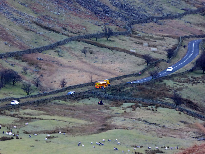
Gritting |
Did you know that the gritting operation in certain areas is controlled by SatNav? The driver follows a pre-determined route and the salt/grit distribution is operated by computer linked to local satellites. Marvellous, isn't it? Unitl the satellites are hacked by foreign agents...
Dark Dodds
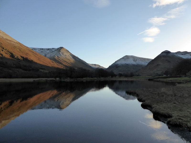
Brotherswater
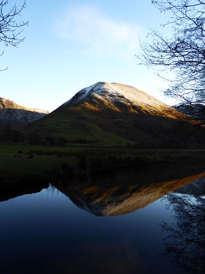
Hartsop Dodd
And back to the car at 15:00hrs. The Cow Bridge car park now has a National Park voluntary pay opportunity. So you can pop a donation into the box. Curious that the majority of parkers have left their cars outside the car park. If you are not willing to part with a couple of quid for a day's parking, then why not park and stoically not pay, rather than crowd the roadside? Nobody, other than you, will know...
Walkers: Molly The Dog and Me.
Route: Cow Bridge (donation made), Deepdale Bridge, Wall End, Coldcove Gill, Gavel Pike, St.Sunday Crag, Deepdale Hause, Cofa Pike, Fairfield, Hart Crag, Dove Crag, Little Hart Crag, High Hartsop Dodd, Hartsop Hall, Brotherswater, Cow Bridge.
Greetings: Wonderfully quiet first 3.5 hours before encountering others from Fairfield onwards. Very popular on the Fairfield routes and lots of happy faces on the summit territory.
Weather: Cool, clear and sunny. A beautiful day for any outdoor activity.
Time Taken: 7 hours a distance of about 11.5 miles.
Happy New Year to all website visitors.
All photos copyright Richard Ratcliffe 2017 ©
Take me back to the start ....