
~Great Carrs on Remembrance Sunday~
12th November 2017
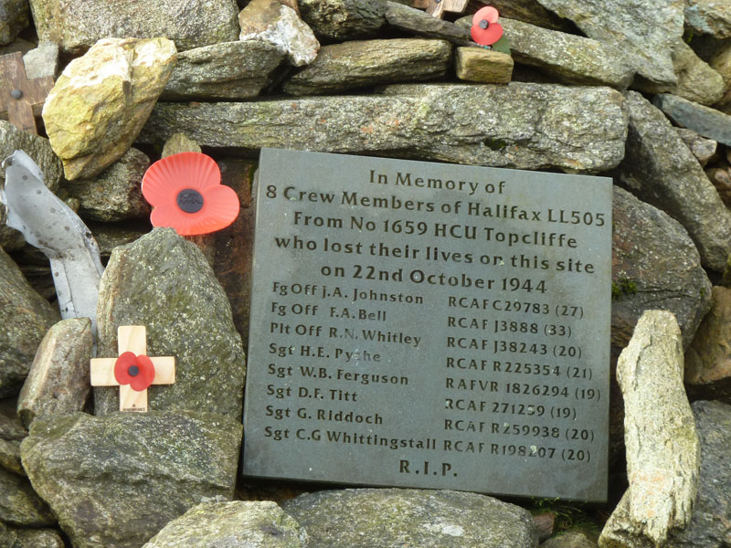
Aircrash Memorial on Great Carrs
Scroll down for photos and a description of the walk....
 |
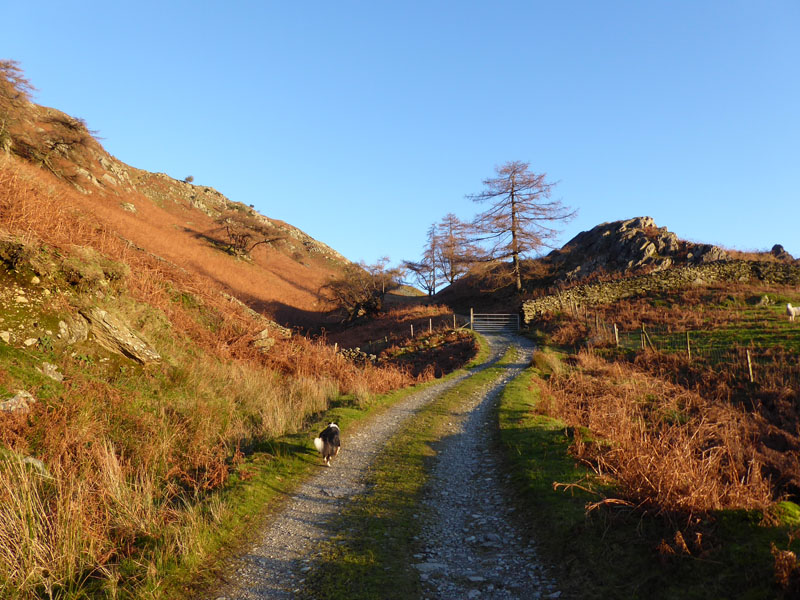 |
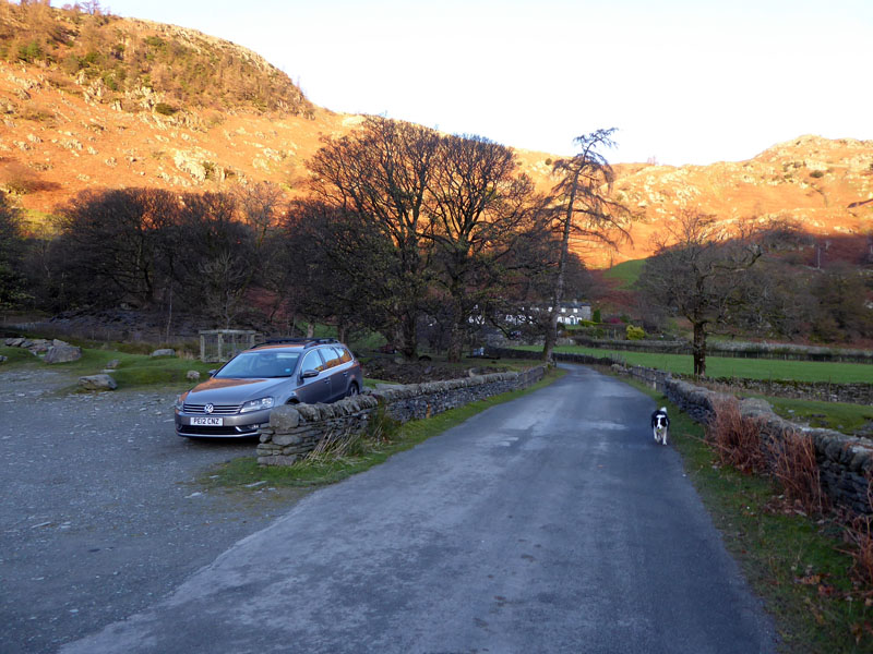
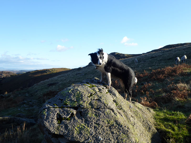
The walk started from Low Tilberthwaite at 08:20hrs. It is going to be a cold day with a stiff northerly breeze evident even at low levels. On the right Molly heads up the quarry road towards Betsy Crag.
Betsy Crag Quarry Road
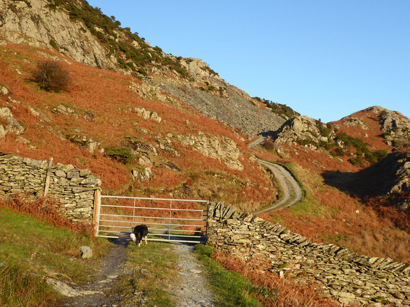
The plan was to meet two others on Wet Side Edge at 10:00hrs and so there is little time to lose. When I reached the quarry, I realised that I had been positionally challenged and was not where I should be.
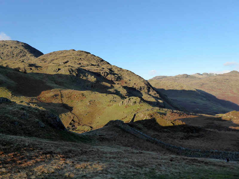
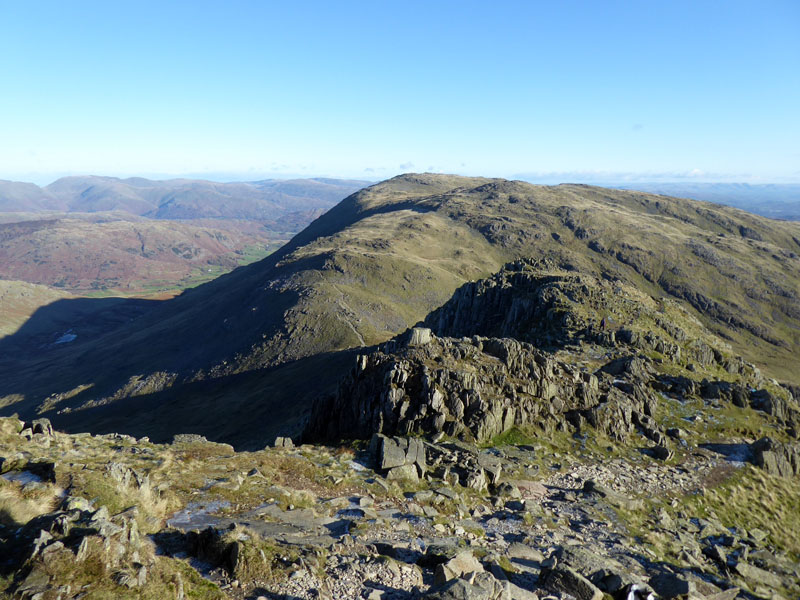
Birk Fell
Anyway, upon studying the map and spotting a series of walls that would put me back where I wanted to be, we soon found ourselves at the foot of Birk Fell and a path follows the wall (in sunshine) down to Greenburn Beck.
Langdale Pikes
 |
 |
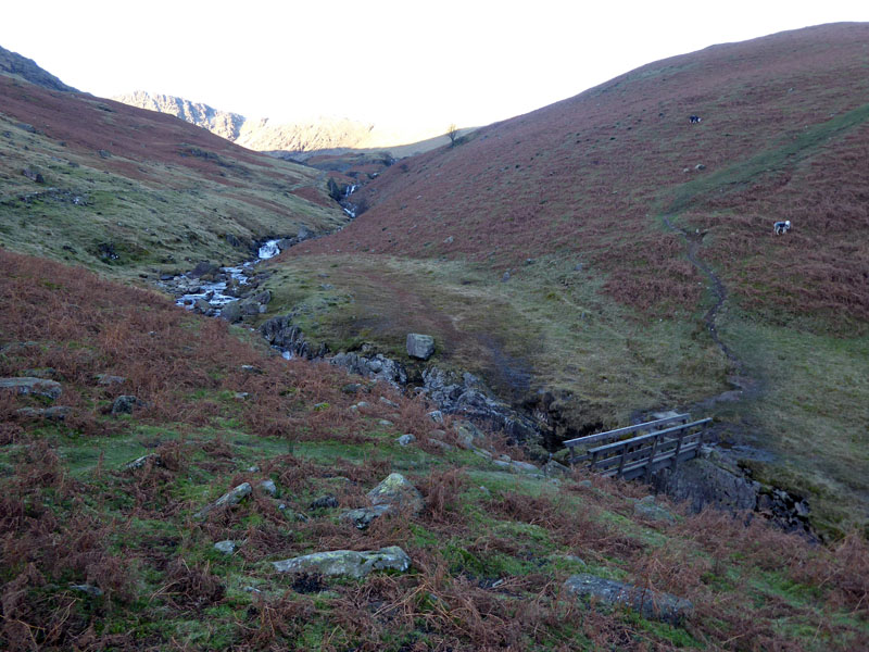
Greenburn Beck |
Works Access in Greenburn |
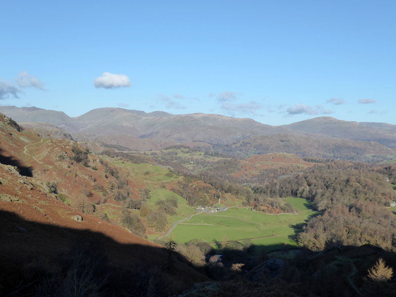
Now moving at quite a pace, we cross Greenburn Beck over the bridge and then find the access road for the hydro-electric works in Greenburn - Great Carrs in the sunshine.
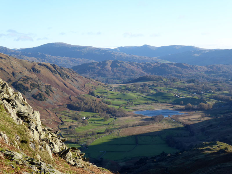
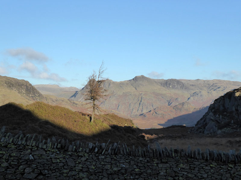
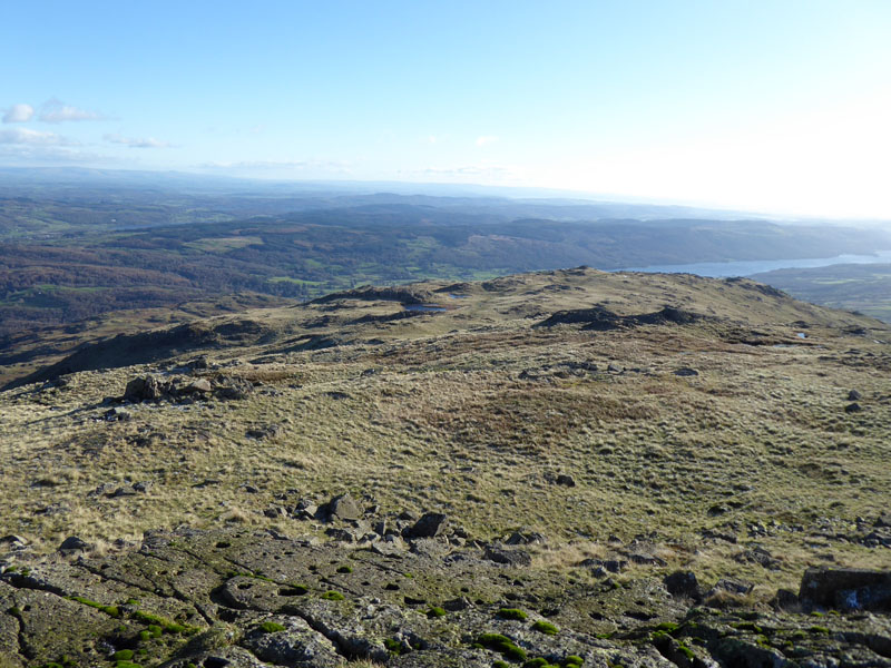
Little Langdale Tarn
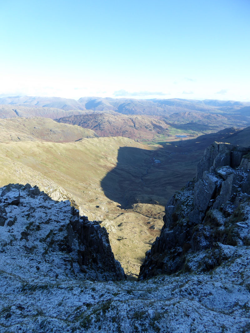
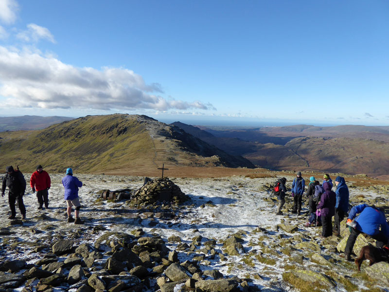
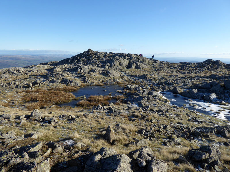
Great Carrs
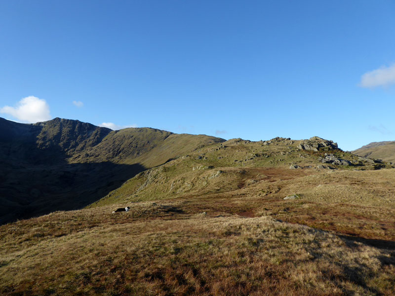
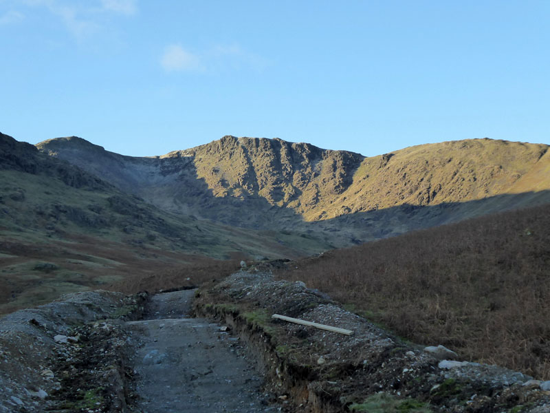
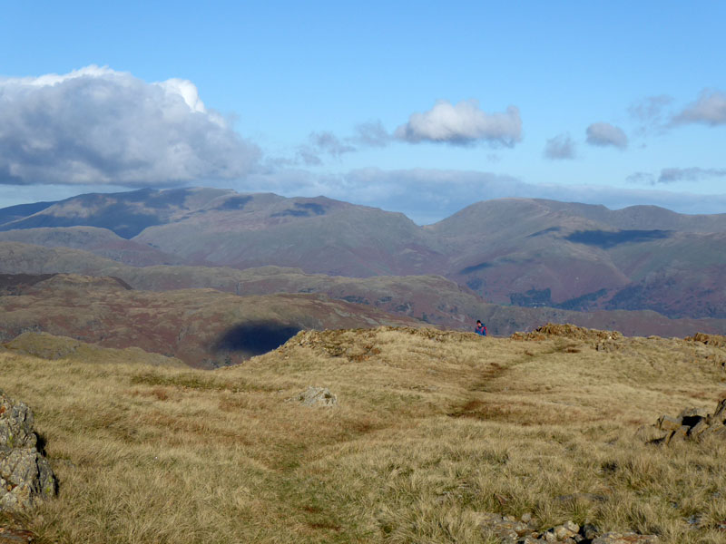
Wet Side Edge
Well here we are on Wet Side Edge and our meeting point is just out of sight from here, higher up the ridge.
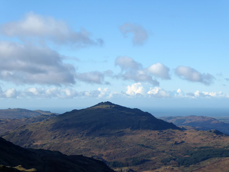
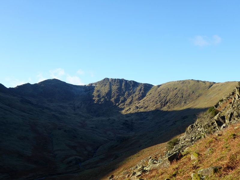
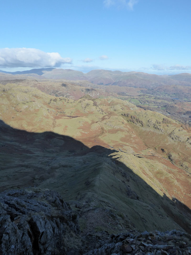
Harter Fell
We meet John and Jo with their dogs ten minutes ahead of schedule and make our way up the ridge path. Harter Fell (Eskdale) stands alone - a fine mountain and even finer summit territory.
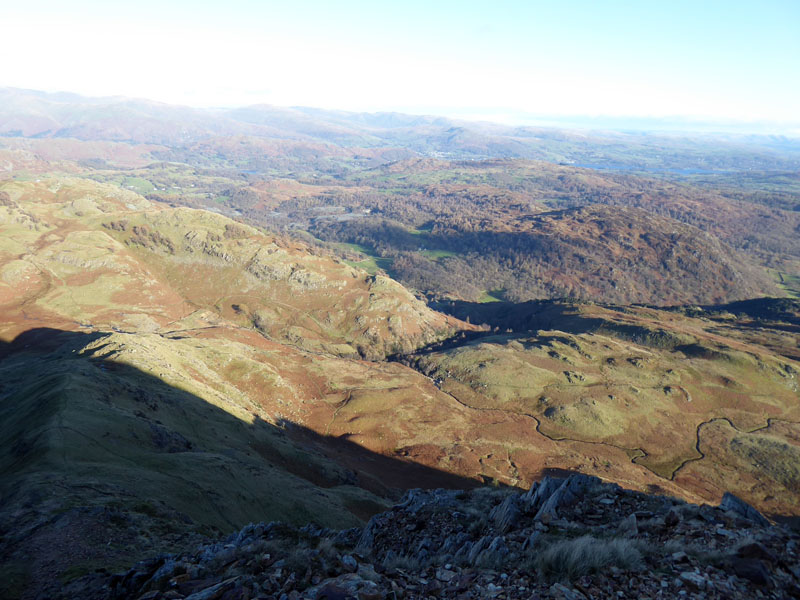
Greenburn from Little Carrs
The dramatic view down Greenburn from Little Carrs. The shadows are cast from Wetherlam and Birk Fell.
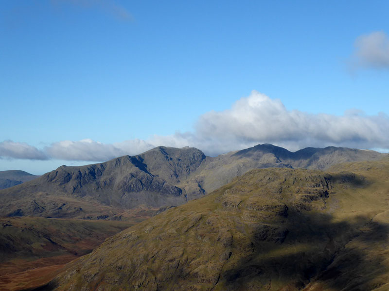
The Scafells
The Scafell Range from Great Carrs.
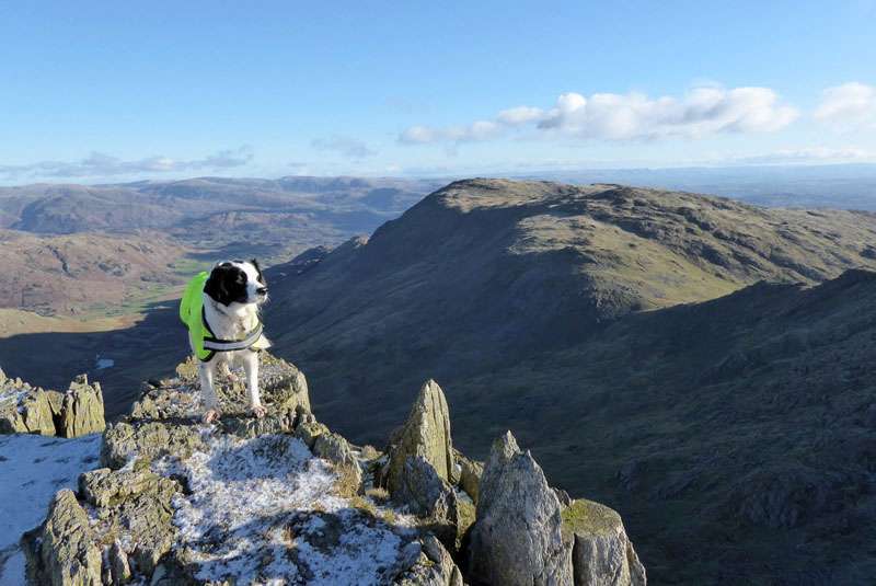
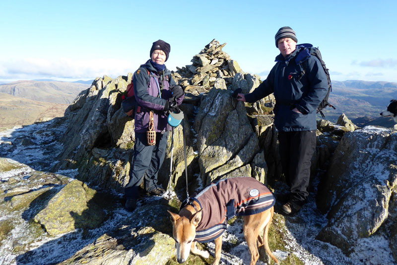
Teagan on Great Carrs (photo John Paterson)
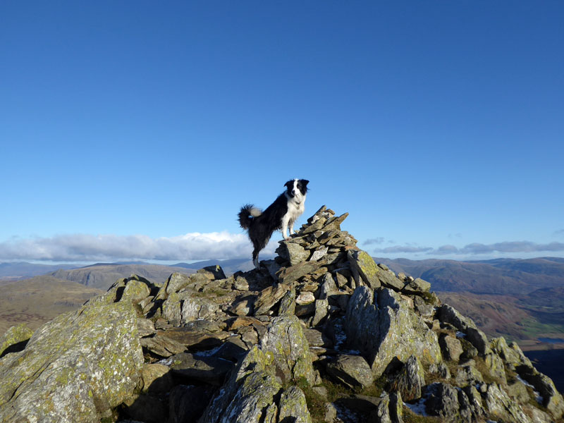
Molly on top of Great Carrs 2,575ft asl
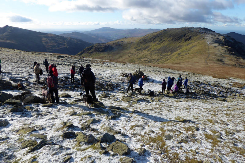
The Rememberers on Great Carrs (photo John Paterson)
This is the second time I've paused in Remembrance on Great Carrs. I think it's fair to reflect on past sacrifices anywhere and at anytime, but it is fitting that some people choose to attend memorials on such an occasion and there is nothing organised or official up here. Even Molly kept still and quiet for two minutes, which is most unusual.
The Memorial
Part of the wreckage remains and it is easy to consider how close the Halifax Bomber was to clearing this fell, a mere 20ft of altitude or so.
Swirl How Summit 2,603ft asl (photo by John Paterson)
Just 1/3 of a mile and 130ft of a climb away, here are Jo and me - shetltering from the howling wind. It was almost impossible to get out of the wind and I struggled to make tea for the team. My hands "froze" during the time we were not moving! John and Jo headed off for Grey Friar, whilst Molly and me headed for Wetherlam.
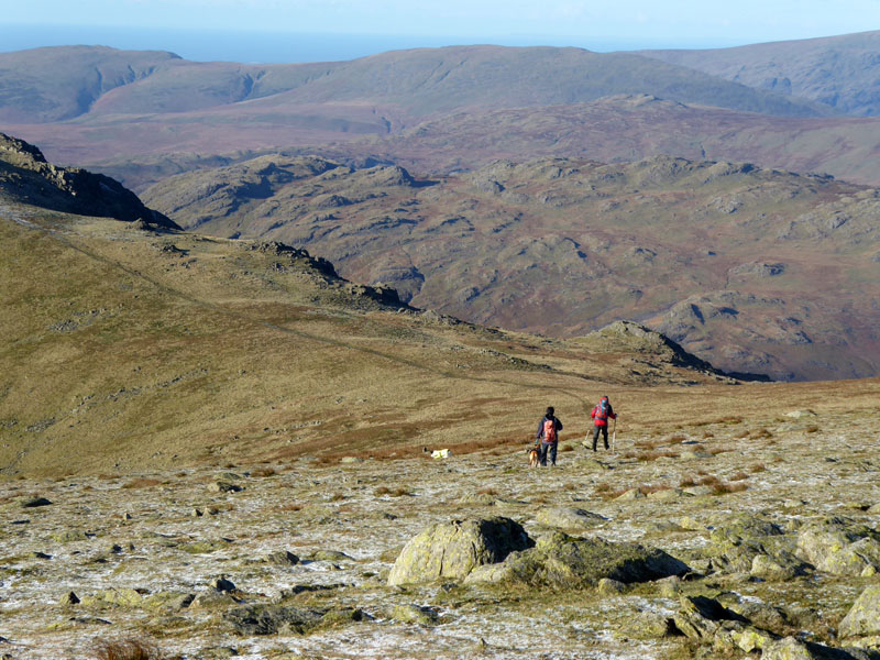
To Grey Friar
It transpires they did not get as far as Grey Friar due to the strength of the wind and they headed back towards their car at Wrynose Pass.
Prison Band
The ridge route off to Swirl How and keeping upright is not easy as the cross-wind attacks anyone on the ridge. Down to Swirl Hawse and up the path on Keld Gill Head for Wetherlam.
Wetherlam
I found a little "hole" just befor this photo to stop for a rest and a bite to eat, a very welcome respite from the chill.
Lower Hows
This route to the south over Lower Hows leads to some small pools (left of the photo) and then a descent route over Lad Stones to Steel Edge. I didn't fancy Wetherlam Edge with the strong wind heading across the ridge.
Lad Stones
A man appears and serves to confirm the route down.
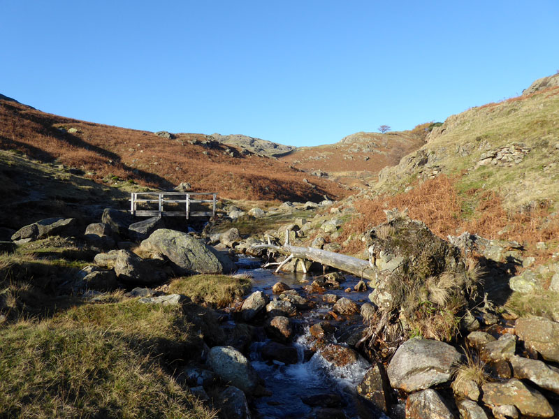
Tilberthwaite Gill
Steel Edge
A fine walk down to Tilberthwaite.
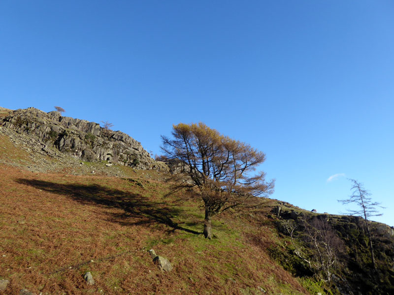
Tree
Into Tilberthwaite Gill for a route down to the car.
 |
 |
Tilberthwaite Gill |
Windy Molly |
~~~
High Tilberthwaite
Low Tilberthwaite
Walkers: Molly and Me, with John and Jo for part of the walk.
Time taken: 6hrs over a distance of about 10 miles.
Route: Low Tilberthwaite, Betsy Crag, Birk Fell Gill, Greenburn Beck, Wet Side Edge, Little Carrs, Great Carrs, Swirl How, Swirl Hawse, Keld Gill Head, Wetherlam, Lower Hows, Steel Edge, Tilberthwaite Gill.
Weather and conditions: Sunny and cool with an immensely fierce northerly wind.
Most photos copyright Richard Ratcliffe 2017 ©
Take me back to the start ....