
~Whiteside from Lanthwaite Green~
18th July 2020
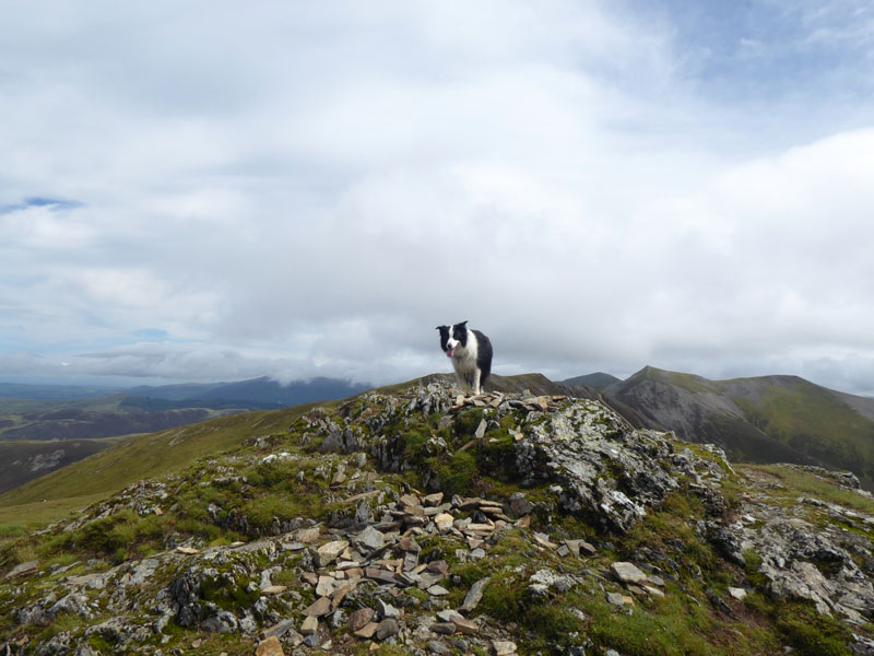
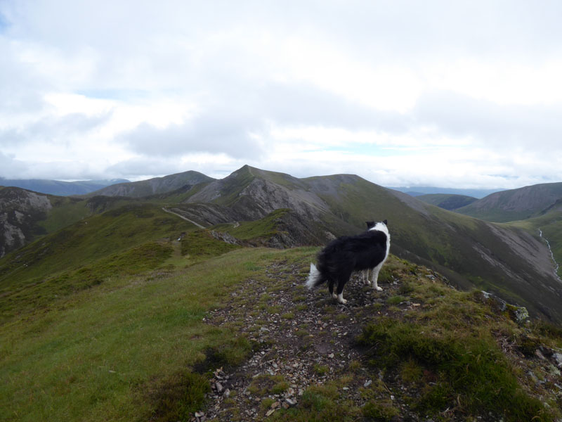
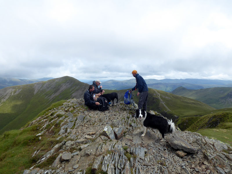
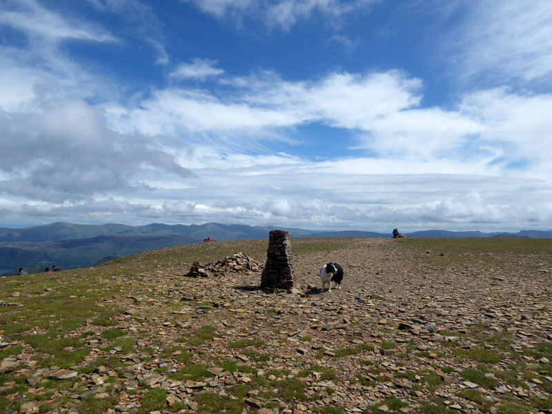
Molly - Whiteside Summit
 |
 |
It's Saturday 18th July and the weather forecast suggests a significant improvement in the weather as the front moves south and clears the air. I had spent the first couple of hours milling around Keswick and the park. My first experience of shopping in the environment whereby most staff are wearing visors and perspex screens adorn the counters. I bought a year's supply of walking socks - three pairs should see me through as there is still a bit of life left in a few other pairs, does anyone darn socks anymore?
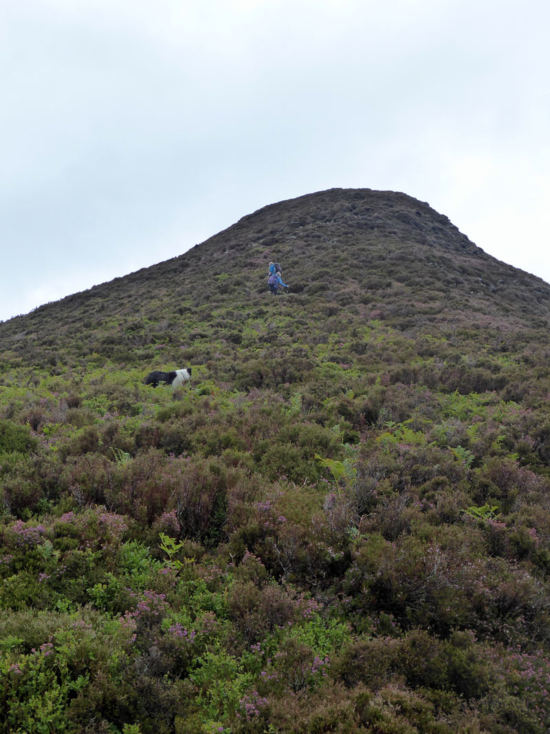
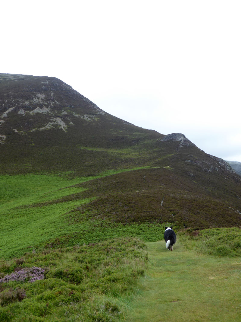
Whin Ben
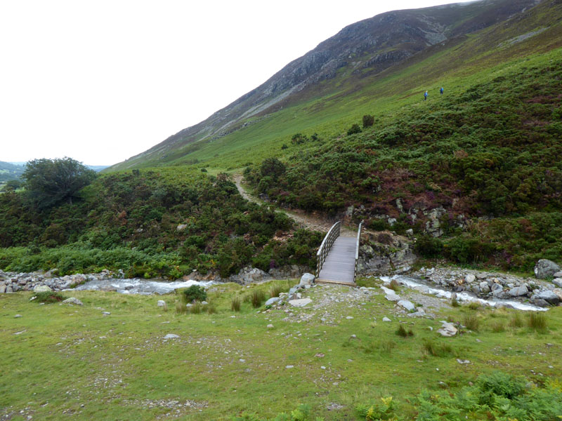
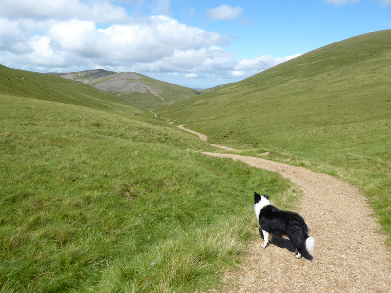
Start time was a tardy 11:30hrs. It was still raining as I left Keswick, but over here it has stopped. Two ladies are ahead of me at this stage on this steep ascent.
The Next Bit
They're behind us now. This is my first time up Whiteside from Lanthwaite and it's a great route - quiet and with fine views all around.
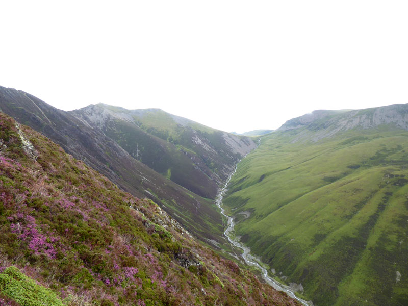
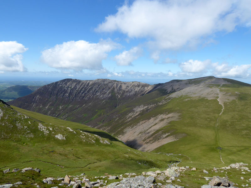
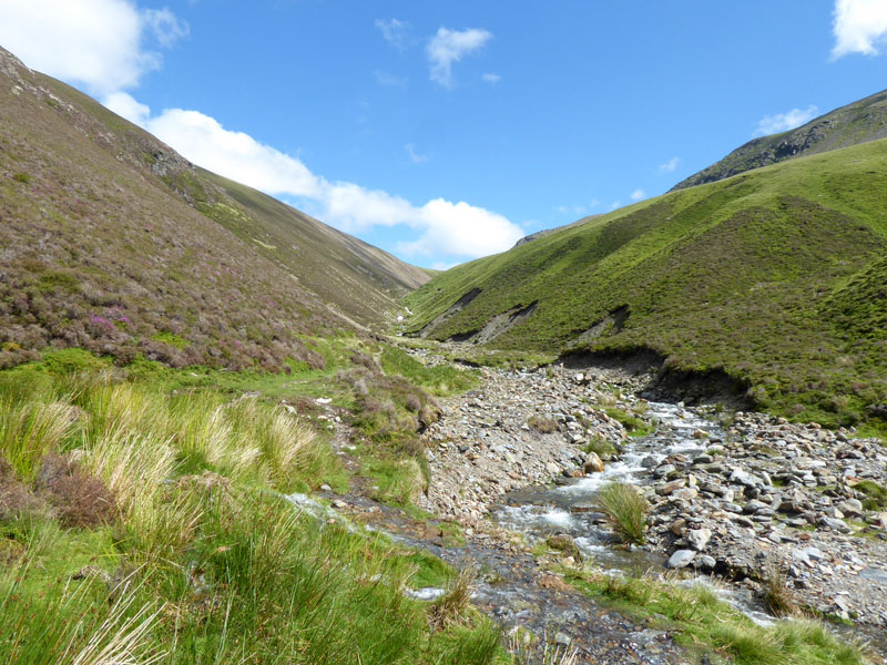
Gasgale Gill
The grassy slopes of Brackenthwaite Fell (part of Grasmoor) contrast with the steeper heathery aspect of the lower reaches of Whiteside's Gasgale Crags.
 |
|
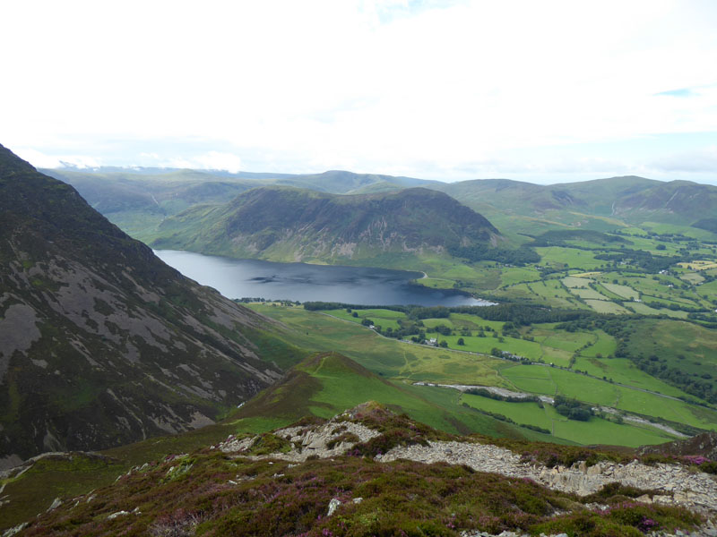
Mellbreak |
Molly - Whiteside Summit |
The noted summit is not the highest point, but it is a deserving holder of the title at 2,317ft asl. A little further along the ridge, the ground rises and continues to undulate all the way to Hopegill Head.
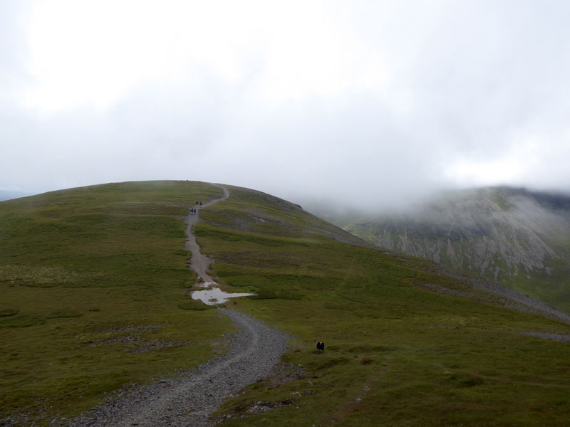
To Hopegill Head

Finest Ridge Walking!
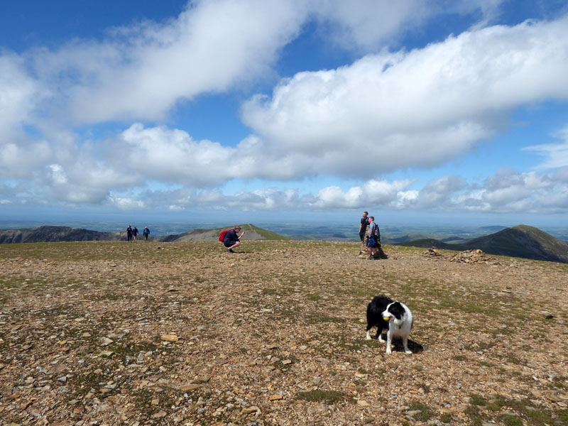
Molly close to Hopegill Head Summit 2,525ft asl
Well, here we go again...all fellwalkers, novices or old-hands, aim for the top. It's the goal, the target, the ambition. Everyone deserves a little "top time" and a souvenir photograph. But yet again a bunch of selfish muppets hog the summit, one is even smoking something. There are adequate sitting positions just off the summit in the direction we have arrived from. They should be shot at dawn!
Sand Hill
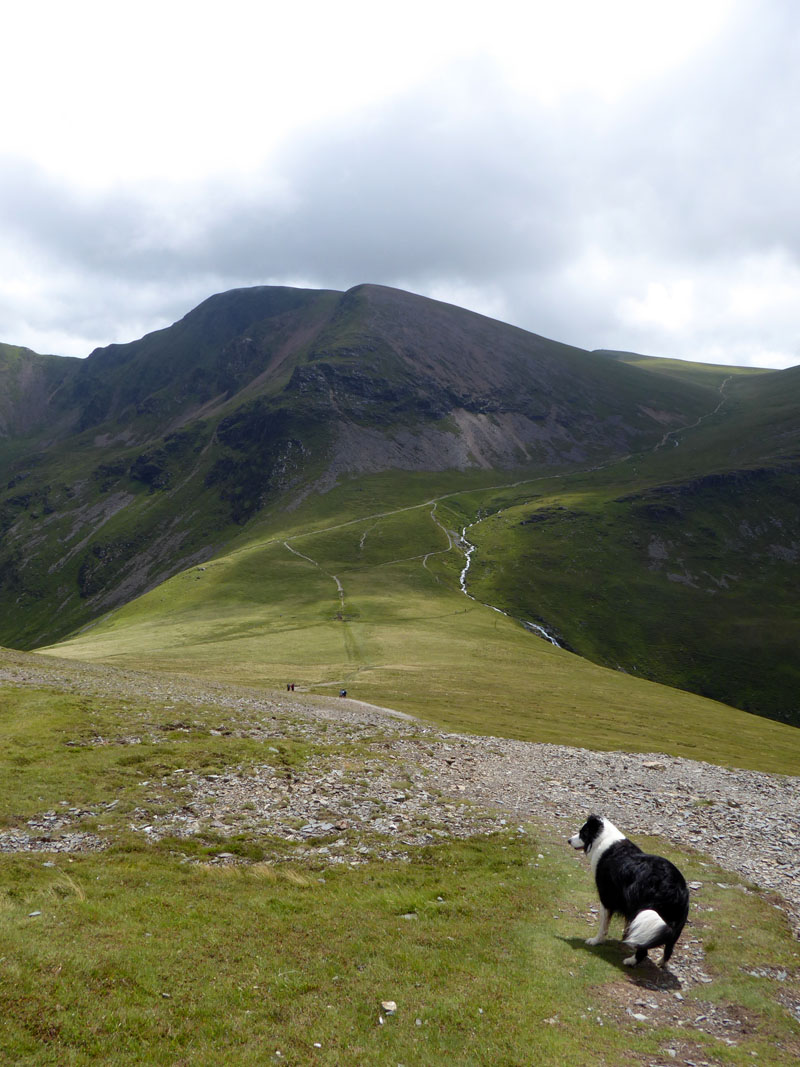
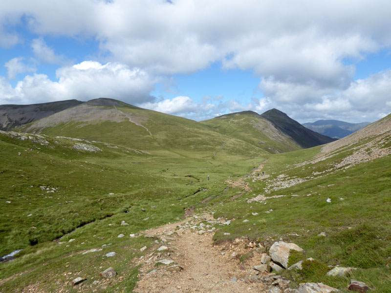
Coledale Hause
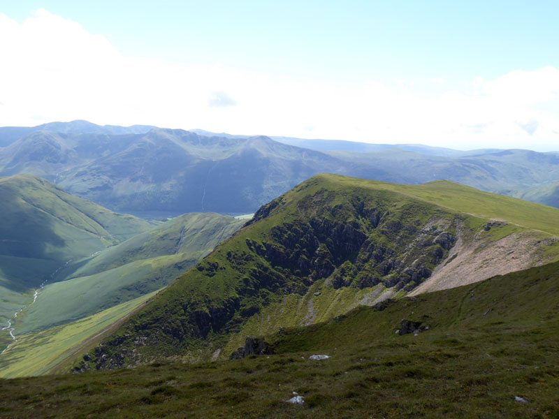
The imposing sight of Eel Crag lies ahead on the south side of Coledale Hause. It's a steep ascent of about 800ft in total from the hause, let's go for it Molly!
Grisedale Pike
Great views on the way up.
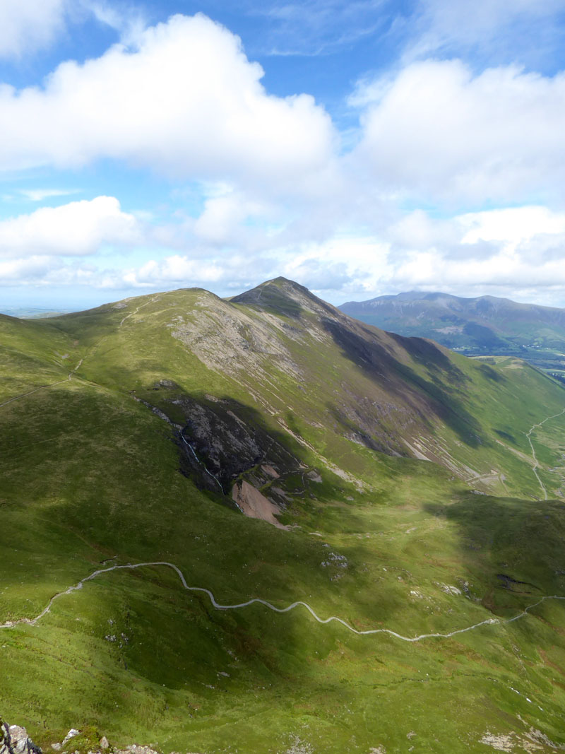
Whiteside and Hopegill Head
Molly on top of Eel Crag 2,749ft asl
A big hurrah! for the summit of Eel Crag, everything you could ever hope for on a Lakeland mountain summit.
The Souvenir Photo
This, sadly, is the last time the yellow ball was sighted. By the time we got most of the way to Wandope, Molly and I were looking at each other in dismay and the ball was nowhere to be found.
Wandope Edge

Wandope Summit
 |
 |
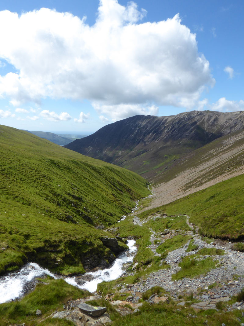
The Watercourse of Liza Beck
Our descent route was to be the watercourse of Liza Beck, all the way from the watershed of Wandope Moss to Lanthwaite Green...just follow the path next to the stream.
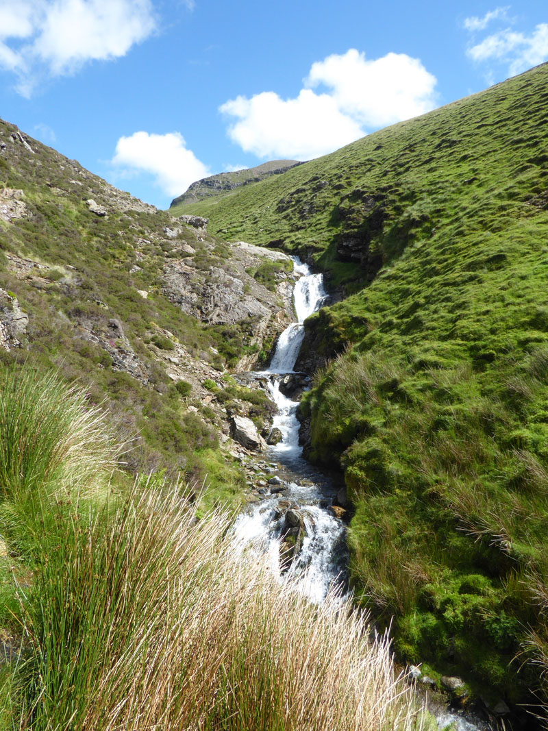
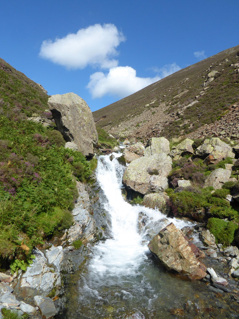
Gasgale Gill
~~~
It's a great walk down Gasgale Gill. A few testing steps towards the end and plenty of opportunities for paddling, but no pools for swimming.
~~~
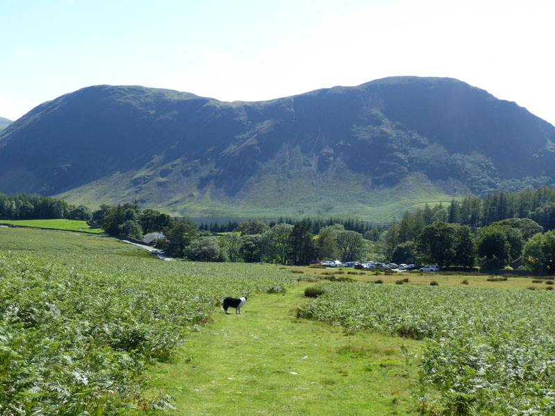
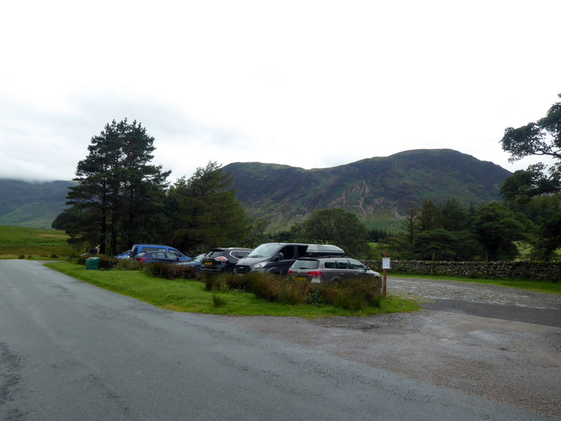
Lanthwaite Green
Walkers: Molly and Me.
Time taken: 5hrs over a distance of about 8 miles.
Route: Lanthwaite Green, Whin Ben, Whiteside, Hopegill Head, Sand Hill, Eel Crag, Wandope, Wandope Moss, Gasgale Gill and all thw way down Liza Beck to Lanthwaite Green.
Weather and conditions: Cloudy then improving quite dramatically to sunny and warm.
Refreshments: See below:
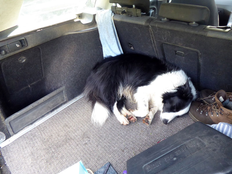
Dog Tired
Brew and biscuits by the car; Molly ate her tea and retired to the car for a nap.
All photos copyright Richard Ratcliffe 2020 ©
Take me back to the start ....