
~High Raise from Dungeon Ghyll~
25th June 2020
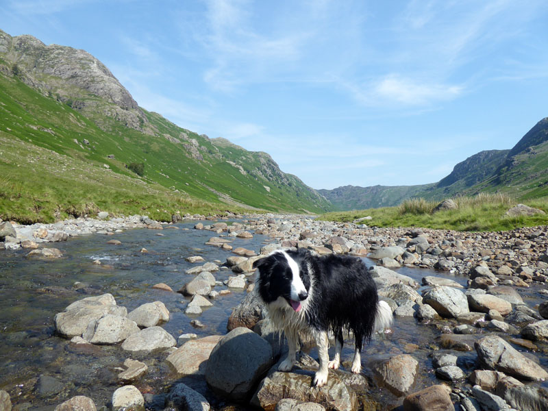
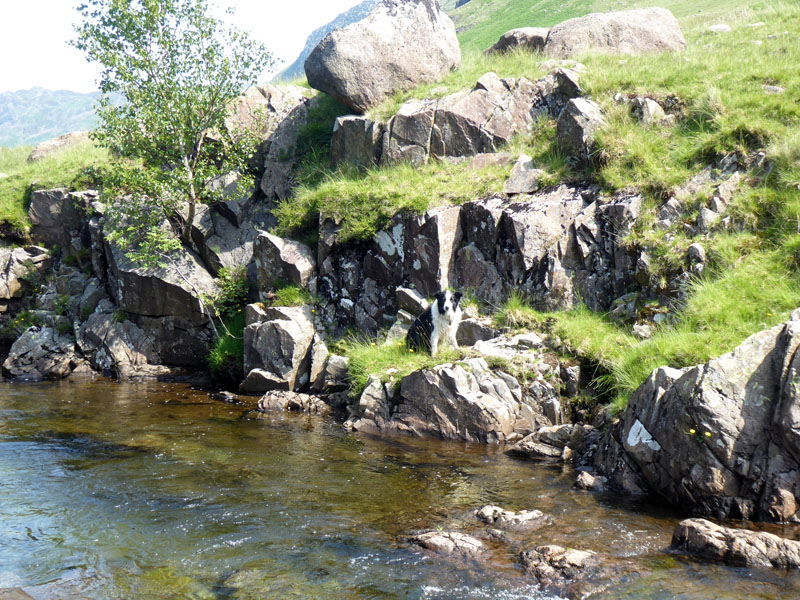
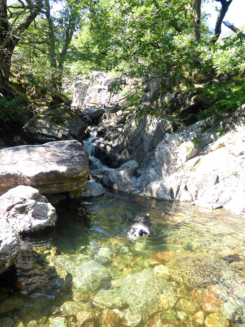
Molly in Langstrath Beck
 |
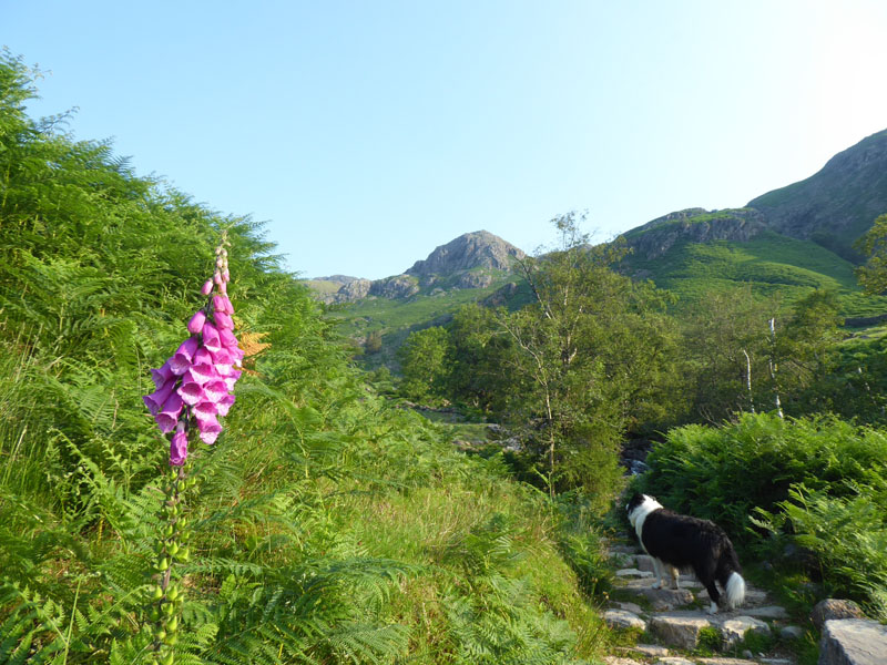 |
There has been a winter and a summer solstice since my last day trip to The Lakes. Today's walk starts from the Sticklebarn NT car park in the Langdale valley at 0710hrs. It will be sunny and hot according to the weather forecasts, so I have chosen a route with many water features to allow Molly to keep hydrated and as cool as possible. We start with the ascent to Stickle Tarn from the New Dungeon Ghyll Hotel as detailed in Wainwright's Book Three: High Raise 4
To Stickle Tarn
The government has relaxed many lockdown restrictions, but we are still encouraged to keep 2 metres distance between each other and to avoid gatherings, so I am playing my part by setting off early and heading into unfrequented territory. I was tempted to head for Bournemouth's beaches or Kirkby Lonsdale (by the river), but opted for here instead.
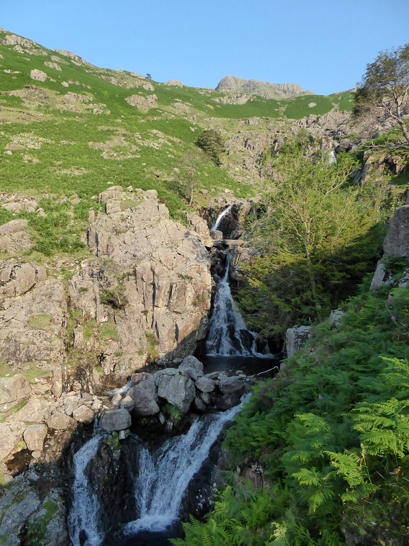
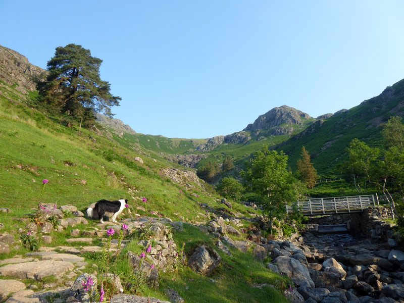
Stickle Ghyll
Pike Howe
Welcome relief from the direct sunlight as we turn the corner and head to the tarn.
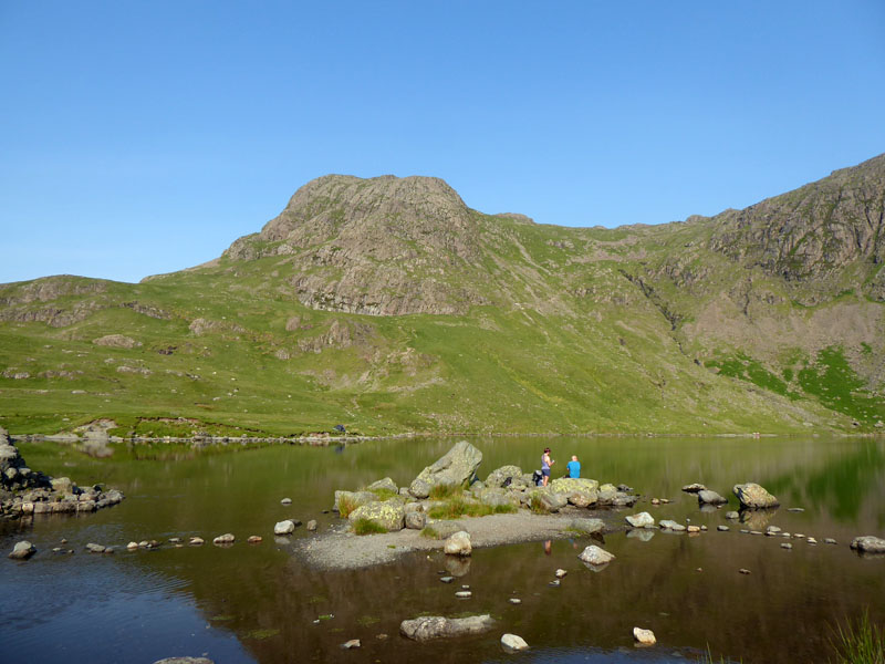
Stickle Tarn
A beautiful place. I can still remember my feeling of unbelief and awe when aged eight, my dad brought my brother and I up here. It was my first mountain ascent and the climb up to here had felt immensely hard, but the beauty of the tarn and fantastic backdrop of Pavey Ark was something I'd never seen before.
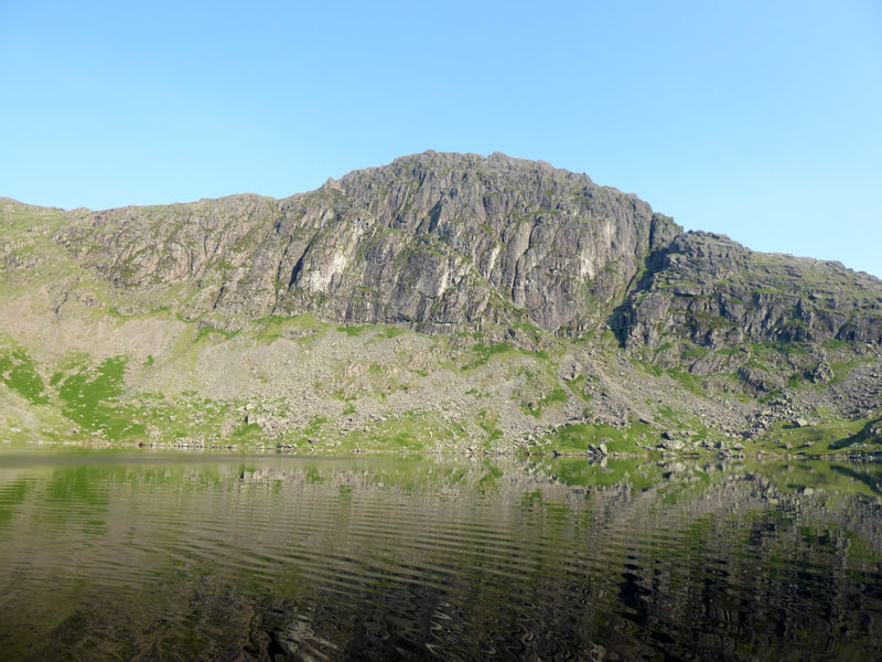
Jack's Rake on Pavey Ark
The popular scramble up the front of Pavey Ark is off limits for Molly and I wouldn't like to leave her at the bottom, so we'll have to find other ways to the top, but that's not on today's agenda; instead we will follow Bright Beck to its conclusion and make our way to the top of High Raise.
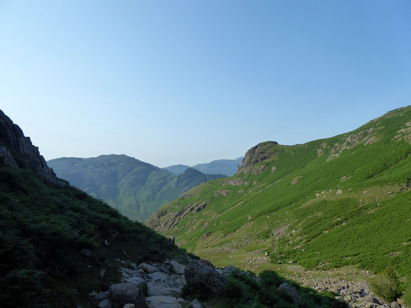
Bright Beck
I think Bright Beck is only really known by fellwalkers as a difficult place to cross, after heavy rain, en route to the North Rake of Pavey Ark. Today it poses no such problems and is our clearly defined way to the higher ground of the col between Thunacar Knott and High Raise.
~~~
Perhaps it was a day like today when the beck namers came up with the title "Bright". Wainwright asserts that there is plenty of room for pedestrian perambulation within the beck, so we move forward with confidence.
Large Boulder
Molly spots a large boulder.
Looking Back
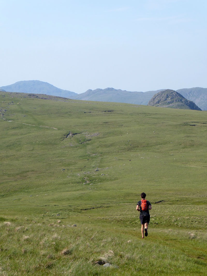
The Runner
We pass the runner on the way up to High Raise as he heads to the col.
 |
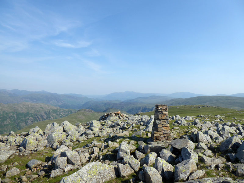 |
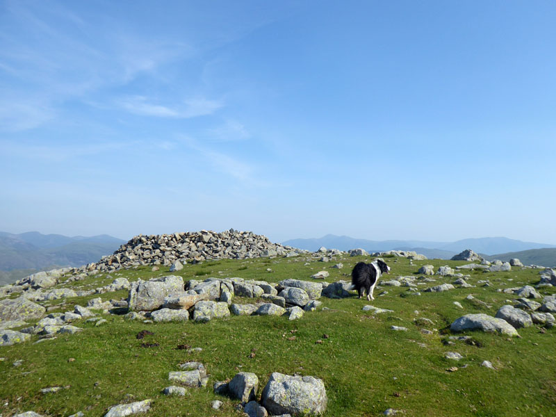
High Raise Summit
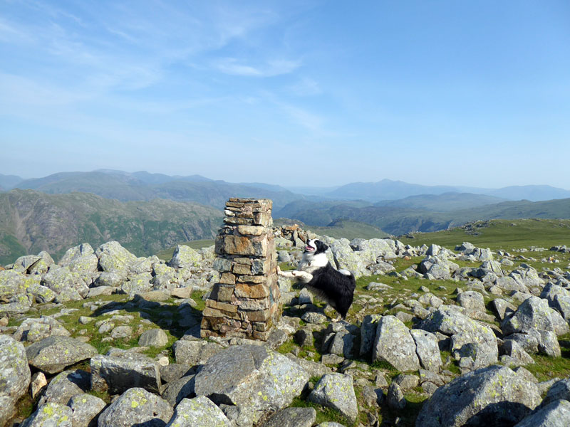
Molly on top of High Raise 2,500ft asl
It's 09:15hrs and without delay, we head off to Sergeant's Crag.
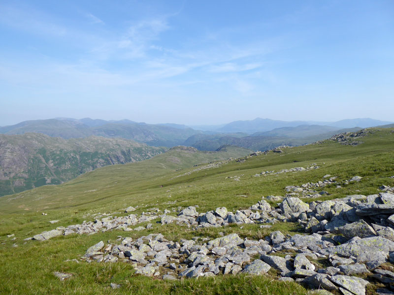
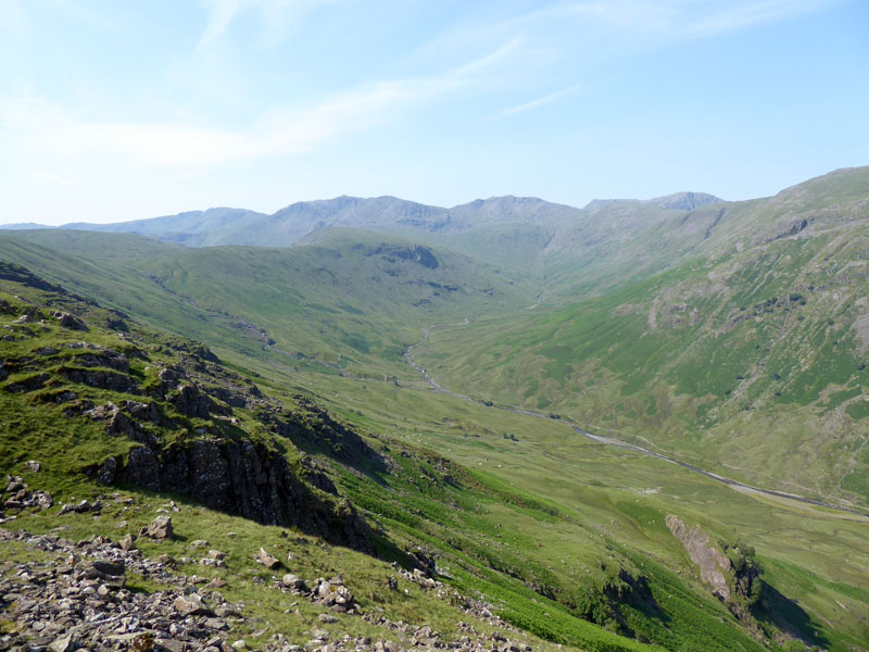
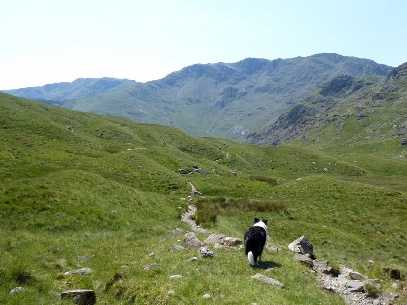
Sergeant's Crag and Eagle Crag
This could now be the driest section of the walk with no watercourses or tarns on the OS map. I walked the reverse many years ago and thought it was a dull trudge, it should be a bit easier this way.
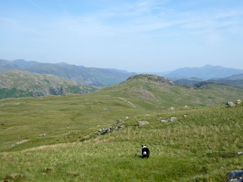
to Sergeant's Crag
Little in the way of a path, but there appears to be some water features in the dip.
 |
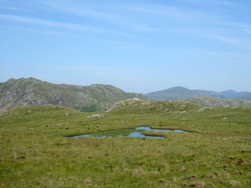 |
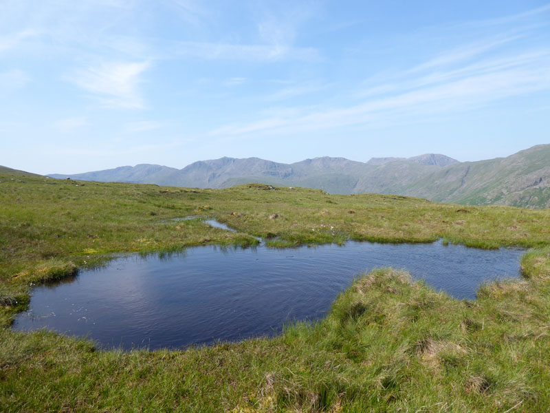
The Water Features
Hardly tarns, these marshy pools could have been stagnant, but recent rainfall has left them refreshed. Molly had a dip and drink in the one on the left.
 |
 |
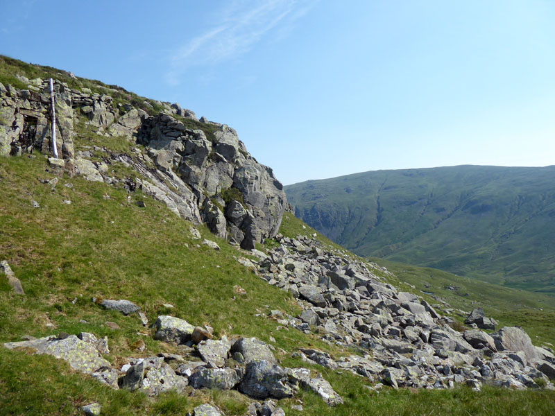
"Precipitous Crags" |
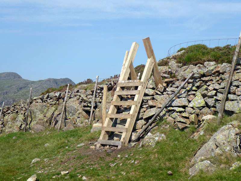
Ladder Stile |
Sergeant's Crag defends itself well from those who approach from the south. Needless to say it wasn't easy getting Molly over the stile.
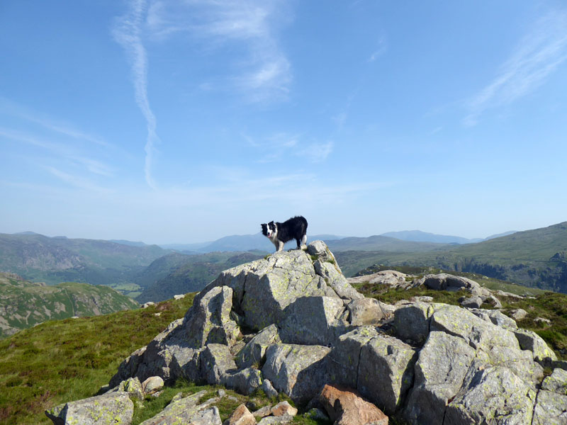
Molly on top of Sergeant's Crag 1,873ft asl
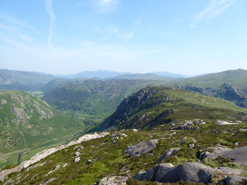
Eagle Crag
I had to consider the merit of claiming Eagle Crag on this walk and decided against it. It is only half a mile away, therefore a mile there-and-back but on a hot day like this, I found the appeal of the pools of Langstrath Beck more desireable.
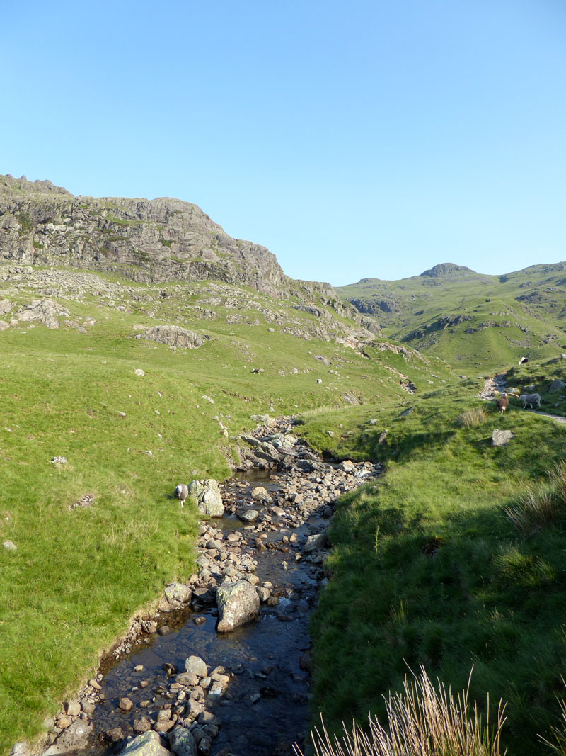
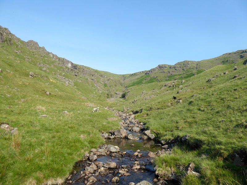
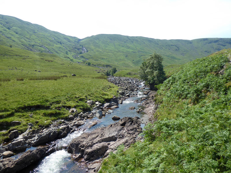
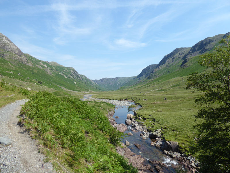
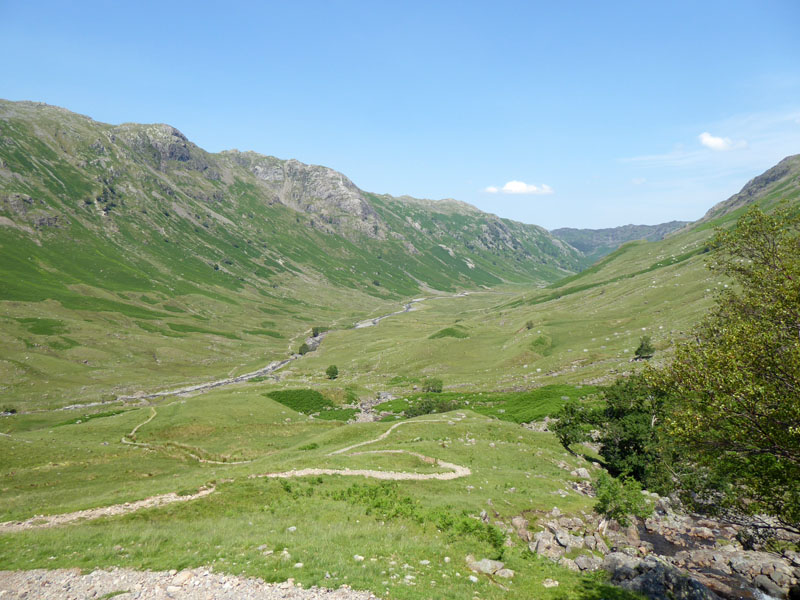
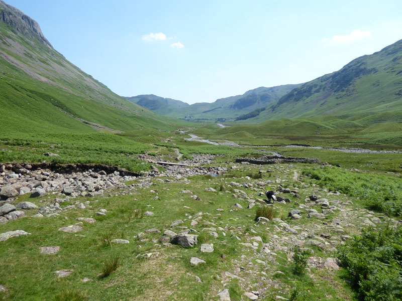
Langstrath Beck
~~~
Walkers need to walk across the top of Bull Crag and then...find your own way down - well that's what I did. Further down the beck is Blackmoss Pot and that's about as far as those in search of water fun will go. Higher up the valley, it's all very quiet.
 |
 |
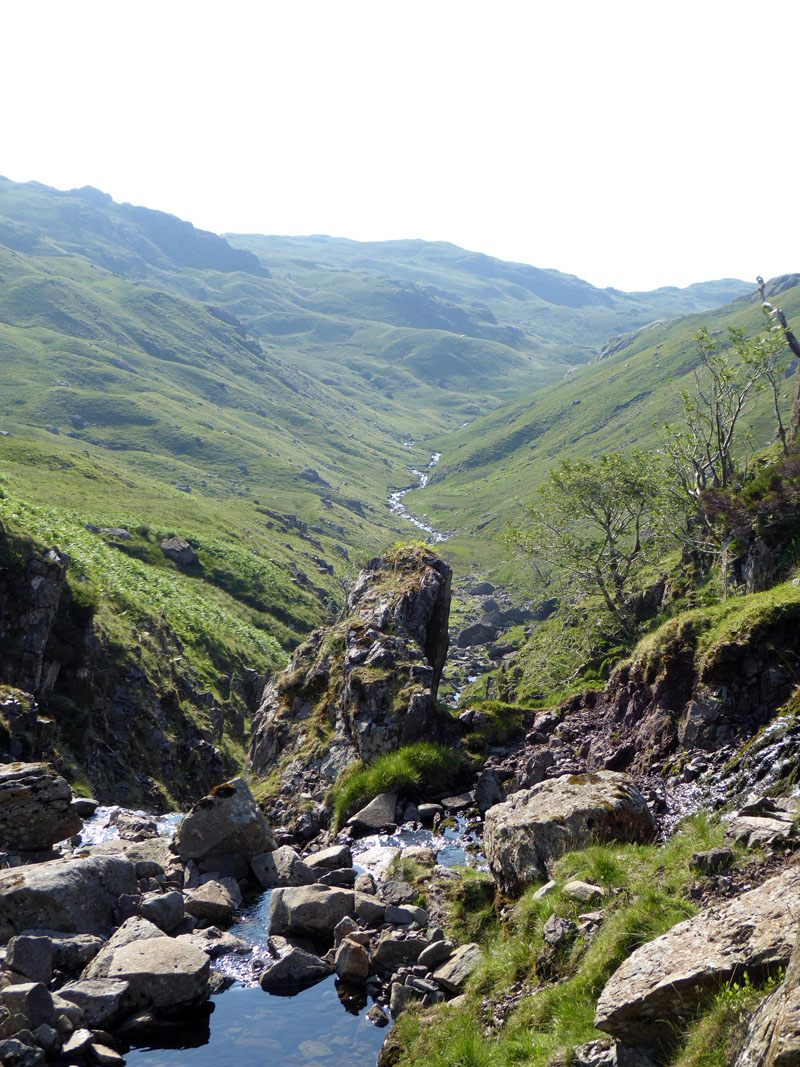
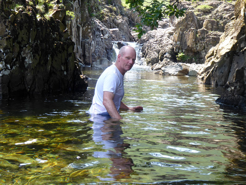
Tray Dub
This will do for a dip, there are a few pools with no obvious danger.
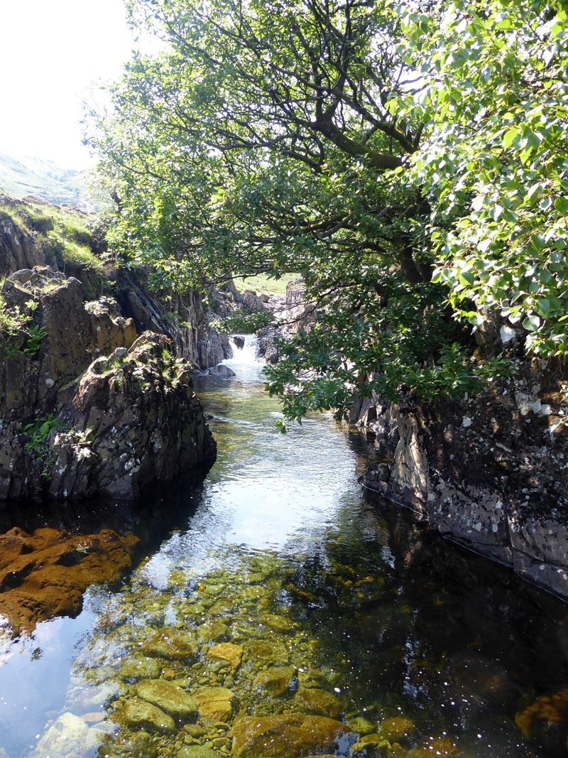
Pools
The problem remains that as soon as I get in, Molly gets out. She moves away and won't even look at me when I'm in the water.
 |
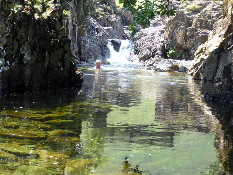 |
Heading In |
In |
I left the camera on a "time lapse" setting and meanwhile Molly was sat a short distance away.....
Moody Molly
Lunch was taken in this quiet setting. Nobody about, perfect unsociable distancing!
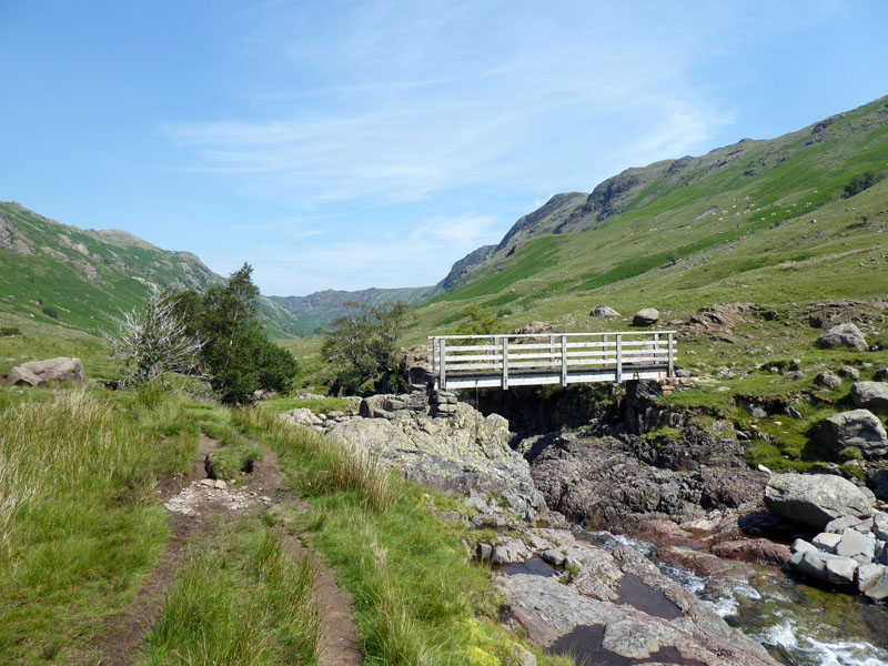
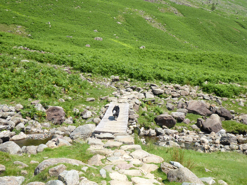
Tray Dub Footbridge
My original plan was to walk from here up to Angle Tarn, but decided to tackle Stake Pass over to Mickleden instead. Again the heat and humidity was on my mind.
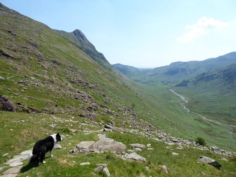
Stake Pass
It's true to say that I have never walked over Stake Pass previously, I suppose it doesn't fit with fellbagging. Walking passes doesn't get you to mountain tops. This was the toughest part of the walk!
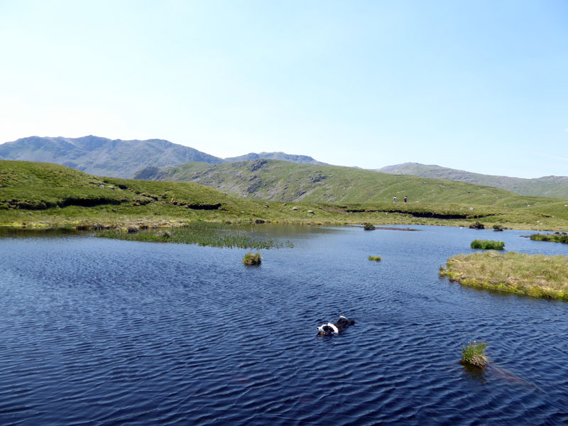
Stake Pass Tarn
Not named as such on OS maps, but what else would you want to call this pool of water?
Bowfell
On the way into Langdale Combe and we meet other walkers heading in the opposite direction to us for the first time today. Just over 5 hours after setting off and the first polite sidestep, now a familiar part of our new-normal.
Mickleden
~~~
~~~
 |
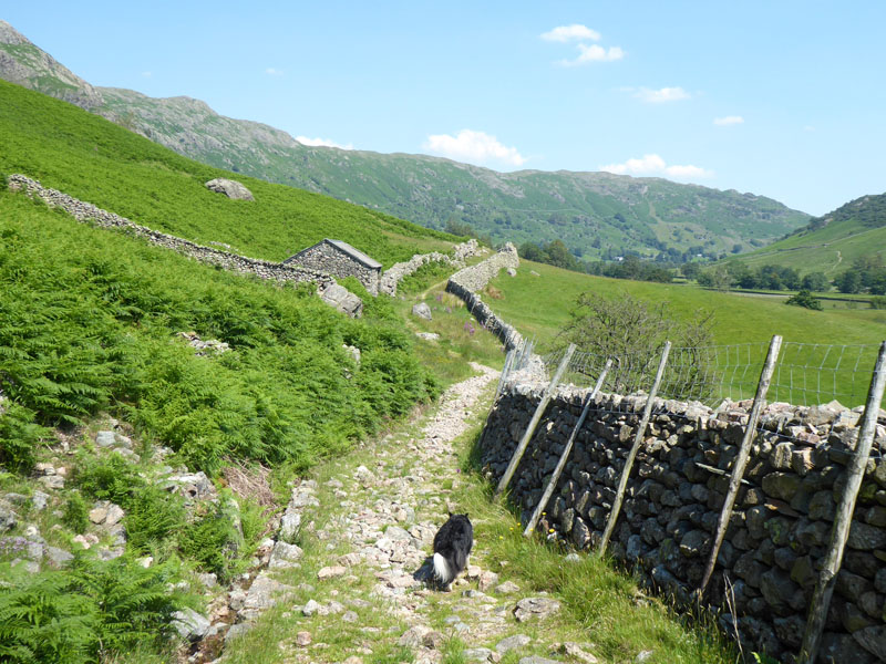 |
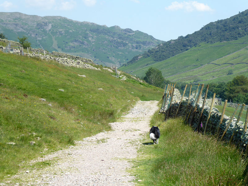
The Cumbria Way
Tired legs struggle a bit on the last mile or two, but really it's been a joy to get back on the fells and the immense number of water opportunities has kept Molly cool and refreshed and she has led the way for most of the day. Conversely, the day before on walks close to home on the dry fields, she was often a few paces behind.
Last Time
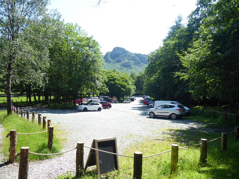
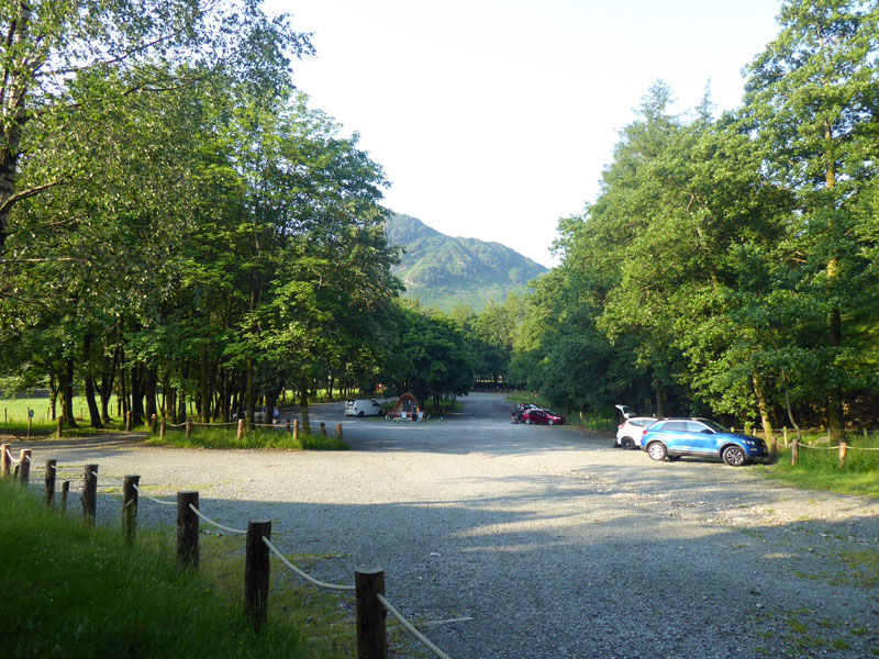
The Car Park
Within the car park was a group of about six cars each with a family. They had clearly not come to walk and were taking barbeque supplies out of the vehicles. Now this is not a park, there is no recreation area here. Apart from government restrictions which still insist on essential journeys only, notwithstanding the fact that you can travel as far as you like in England for exercise, what sense is there in coming all this way to burn some food and make a load of mess and noise. I have to be careful with my words, but I suspect they had travelled from a northern town and not one in Cumbria (just like me). I wonder if they bought car parking tickets and took all their litter home?
Walkers: Molly and Me.
Time taken: 7hrs 30mins over a distance of about 11 miles.
Route: Sticklebarn car park, Stickle Ghyll, Stickle Tarn, Bright Beck, High Raise, Brown Crag, Langstrath Beck, Stake Pass, Mickleden, Cumbria Way back to the car park.
Weather and conditions: Hot and sunny.
Refreshments: I brought my own kettle and stove and made a brew after the walk. Whilst sitting in my camping chair and having "five minutes" before driving home, a mature gentleman came up to me and asked the way to Mickleden. It woke me up and started Molly barking! Bloody nuisance - he should have left me alone and more so, he should bloody well know the way to Mickleden from here and a map would have been useful - muppet!
~~~
All photos copyright Richard Ratcliffe 2020 ©
Take me back to the start ....