
~Great Borne~
& The High Stile Ridge
19th September 2020
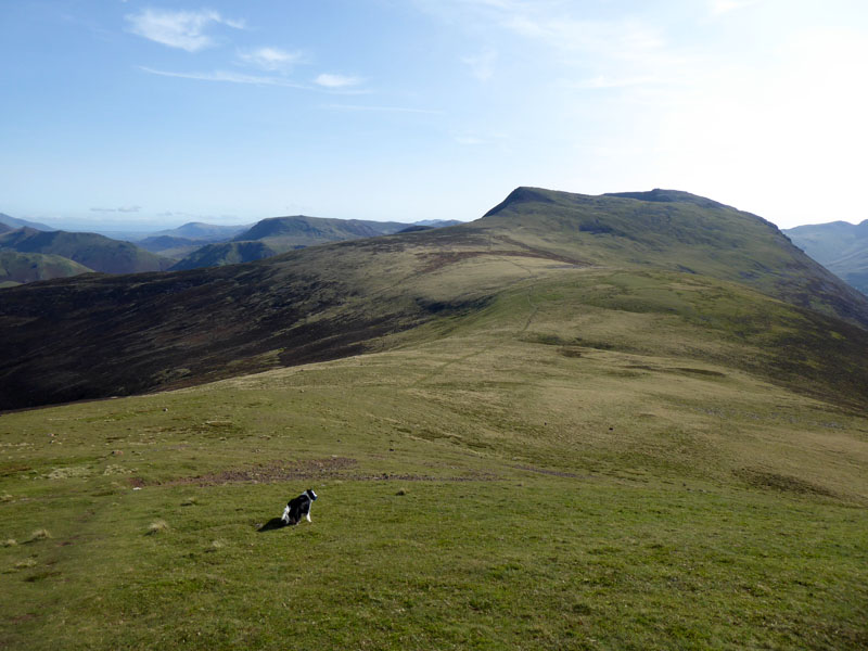
Molly at Starling Dodd Summit
 |
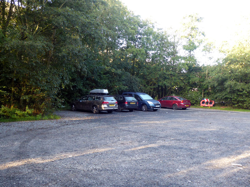 |
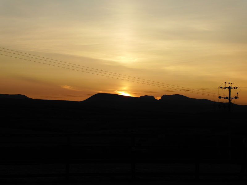
A walk which has long been on my mind, walking from one end of the High Stile Ridge of fells to the other, east to west. Maybe Great Borne isn't the start of the ridge and Seat (just beyond High Crag) isn't the end, but it's quite enough for me and Molly. The sunrise from Ellergill Raise sets the tone for the day. The Scafells are easily recognisable and I reckon the Pendle-esque shaped fell is Seatallan. As it will be a circular walk, I have the option of parking at either Bowness Knott or Bleach Green car parks. I opt for the latter in order to limit the distance of flat walking at the end of the walk.
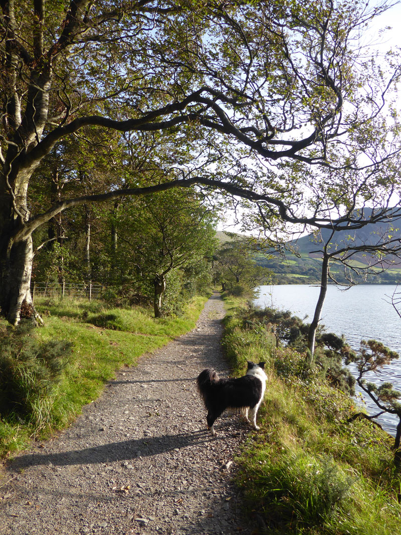
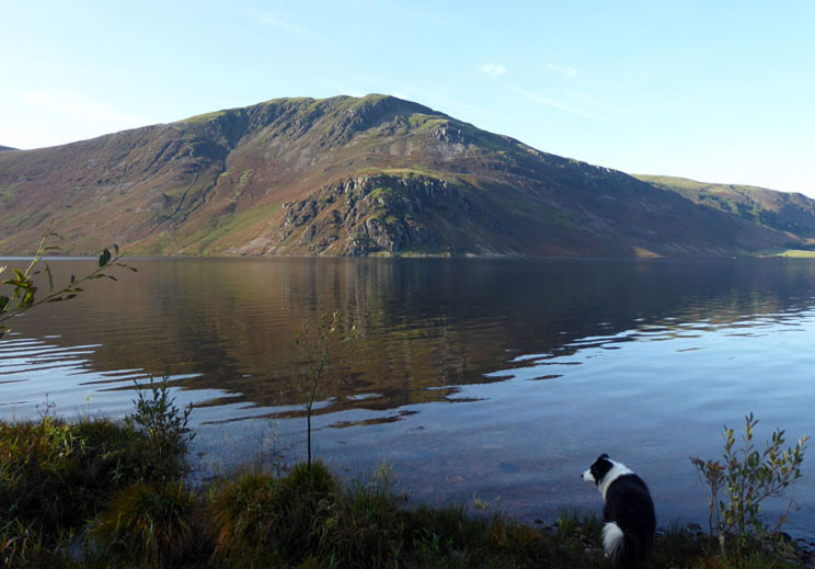
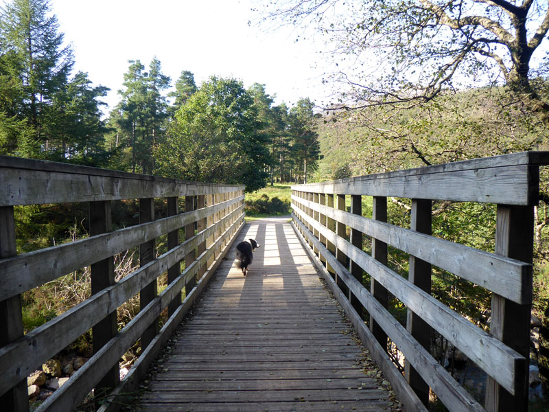
Ennerdale Lake Path
It is two miles from Bleach Green car park to Bowness Knott car park and it's a fine walk, much of it along Ennerdale Water's edge. The walk started at 0830hrs and a table is booked at The Shepherd's Arms in Ennerdale Bridge for 1800hrs, but I have been advised to try to get there earlier due to the sitting times of 1700hrs and 1900hrs, with a little leeway.
Angler's Crag / Crag Fell
Looking across the lake to Angler's Crag at the foot of Crag Fell.
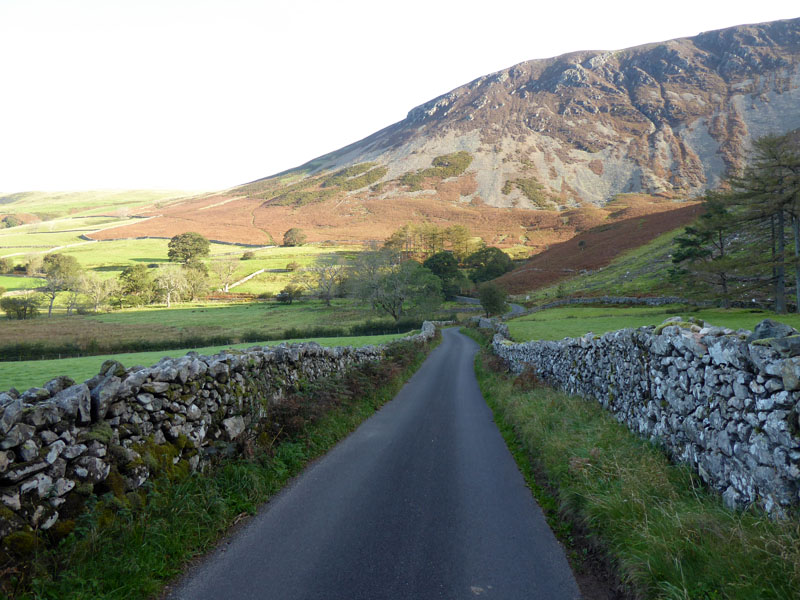
A short section of road walking from Bowness Knott car park to the start of the ascent of Great Borne. You might be able to make out paths through the decaying bracken in the sunlit lower part of the mountain. We'll be using those paths, all being well.
Bracken Paths
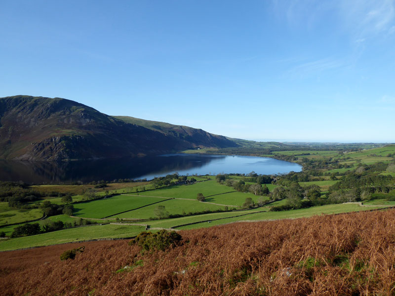
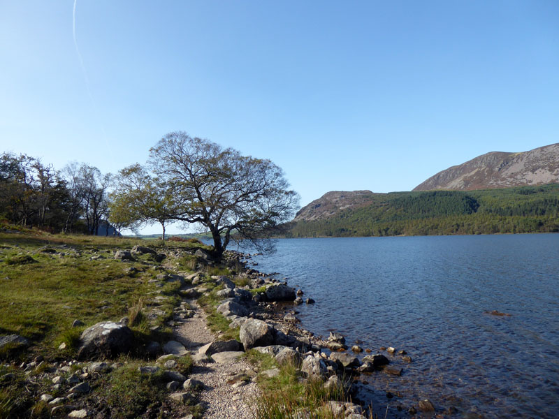
The "white" building at the far end of the lake is roughly where the walk started. The weather is perfect; sunny, very little breeze and not too warm. I've been on top of Great Borne once before, but this will be the first time I will have climbed the fell. Last time it was part of a descent route from High Stile, link at the foot of the page.
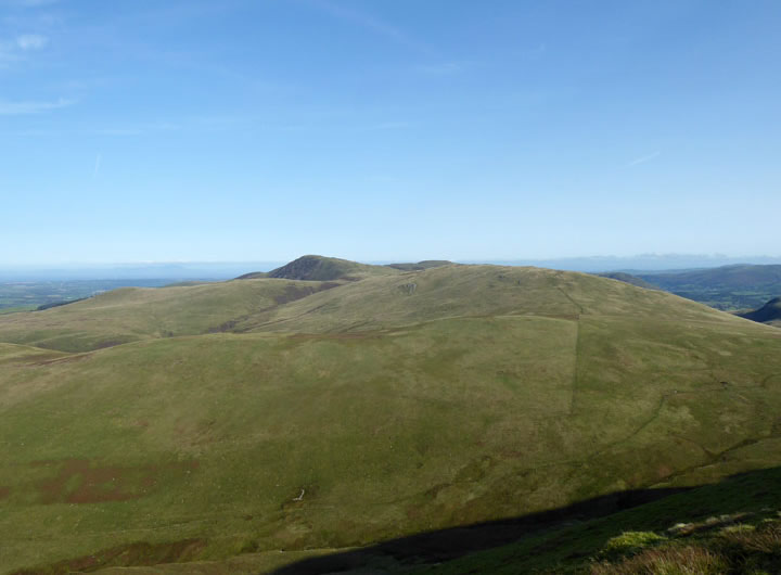
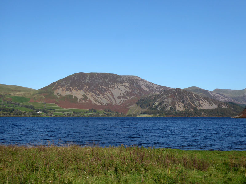
Gavel Fell
Is on the agenda for tomorrow's walk; a shorter walk for tired legs.
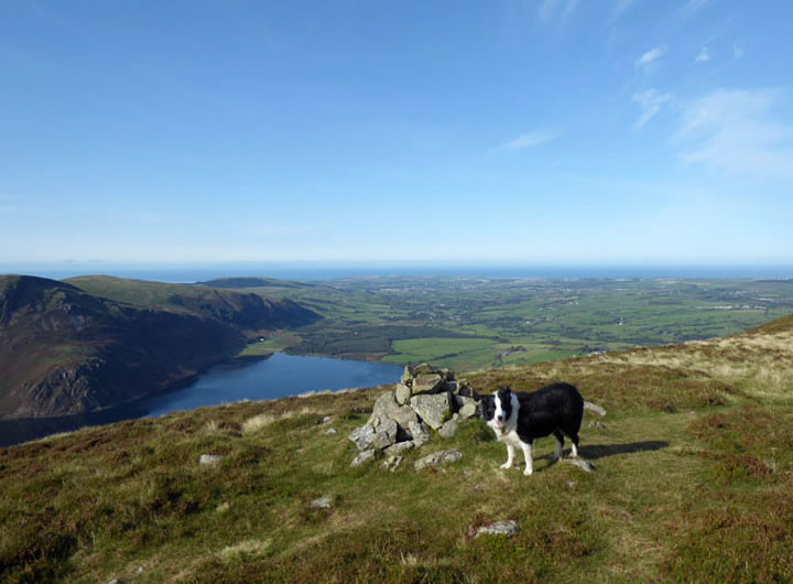
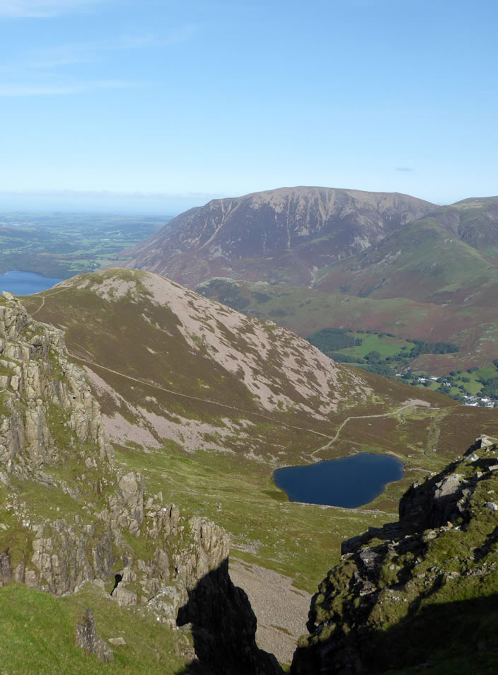
Molly at the cairn on Herdus
The flat territory of Herdus on the eastern side of Great Borne, is thought to be the product of a mass movement of land - a huge landslip. There is also evidence of such in two areas of Pendle Hill.
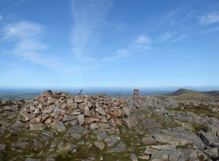
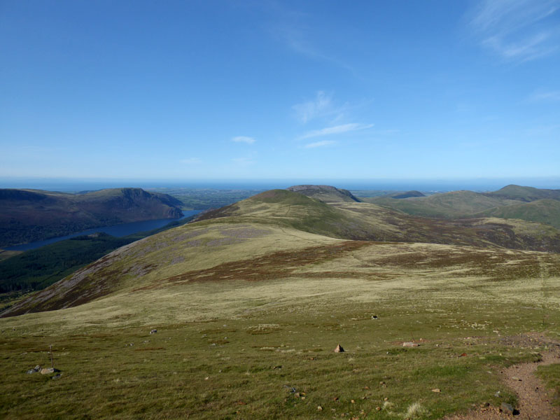
Great Borne Summit 2,019ft asl
Well, it has taken two hours to get to here and a short break is called for in the fine shelter. For once, nobody is here before us sat in the best seats. Blake Fell is prominent over there.
 |
 |
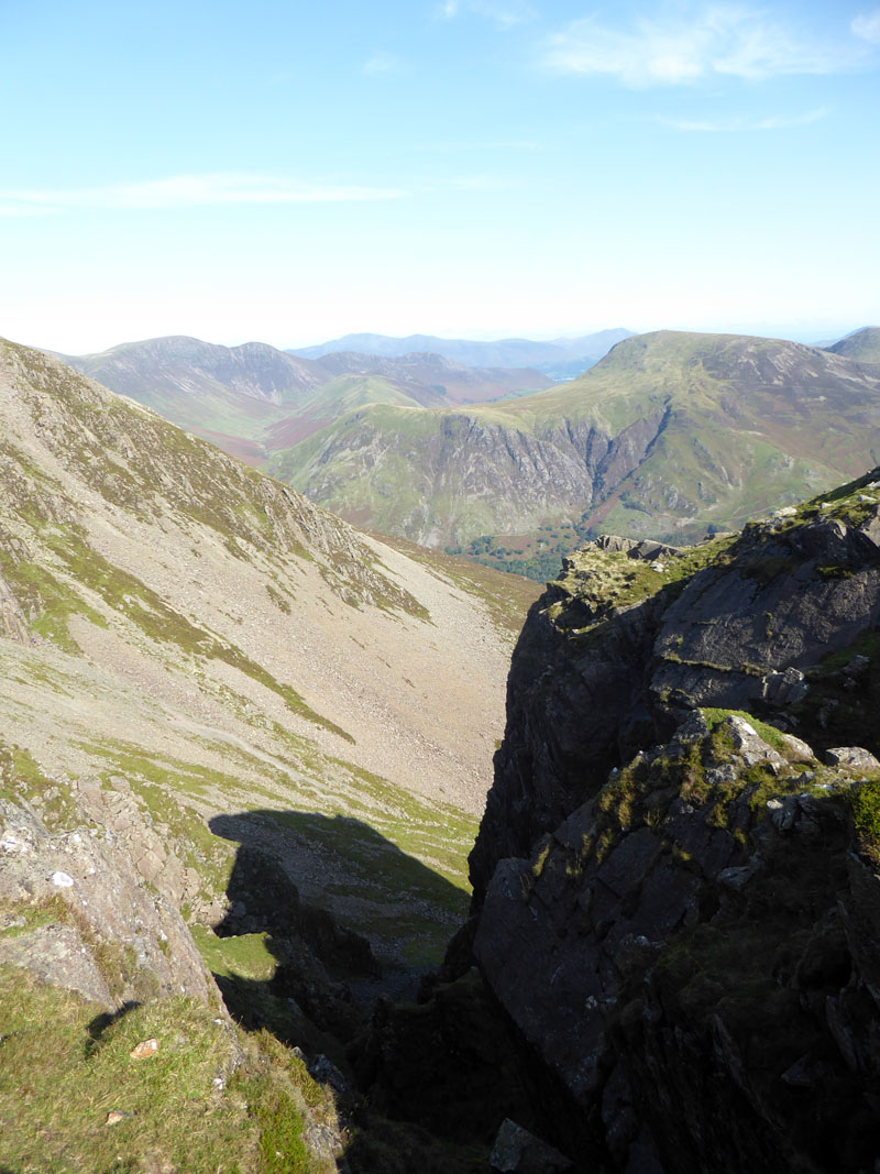
Looking Forward
Not too many of these early photos are pointing in the direction of travel due to the direct sunlight. These two reveal the way ahead, the pointy peak being Red Pike and on the right Great Gable is visible in the distance.
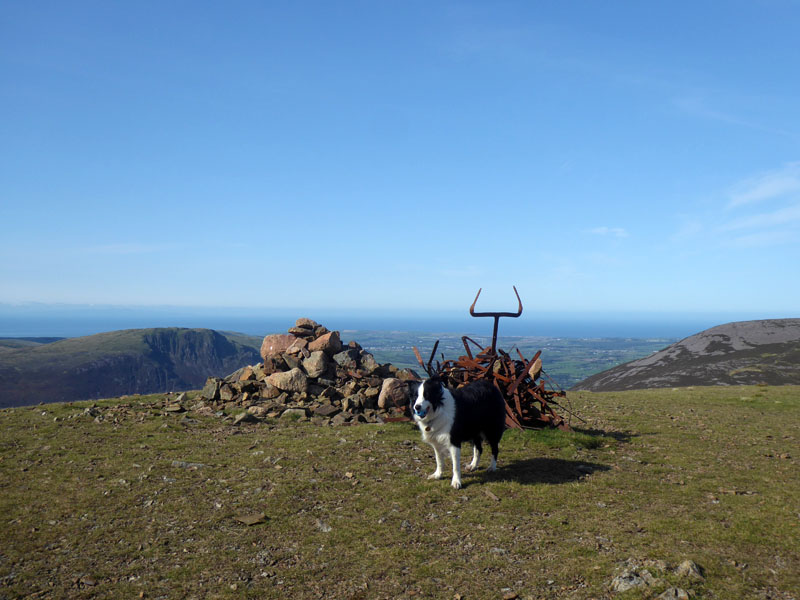
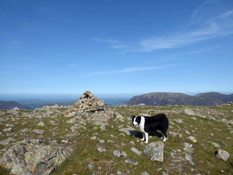
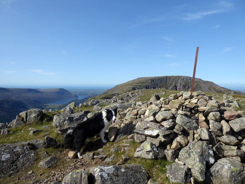
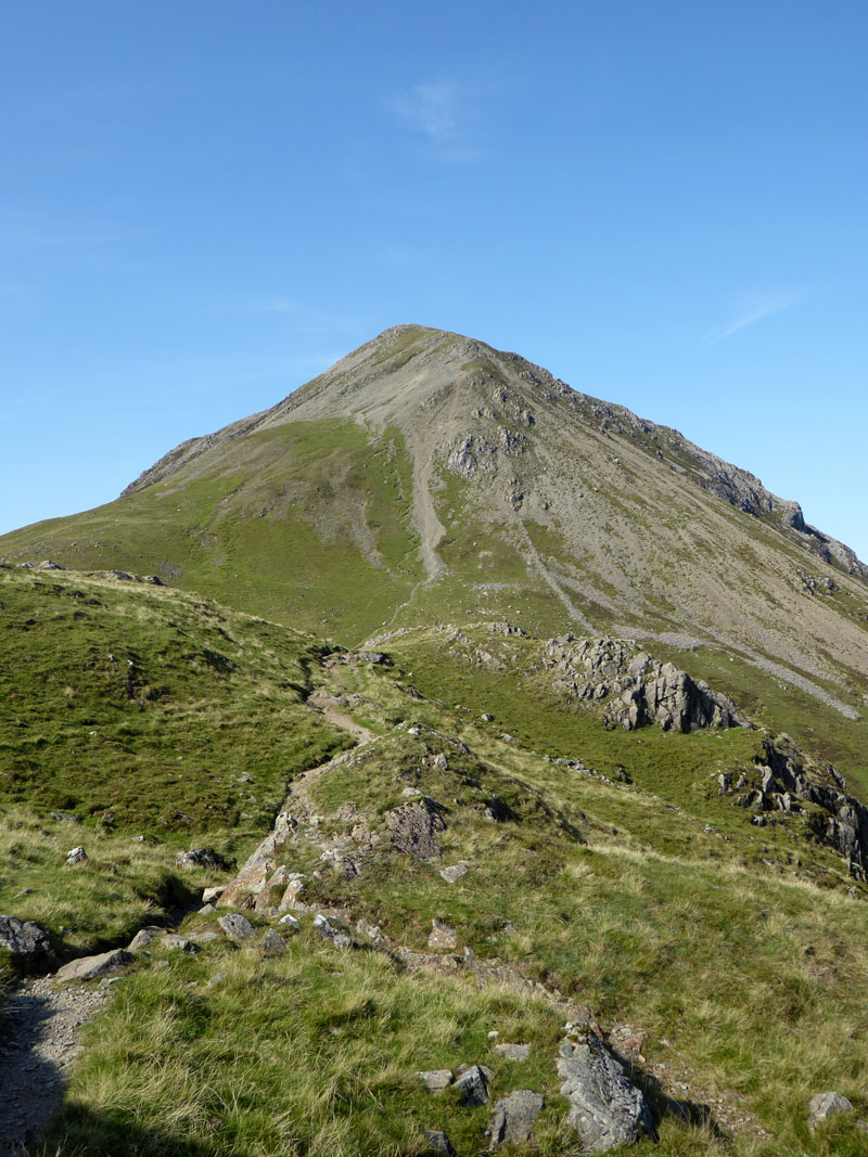
Molly on top of Starling Dodd 2,085ft asl
It's 55 years and one week since Alfred Wainwright completed his fieldwork for Book Seven with a descent off Starling Dodd. His drawing of the summit reveals a two-pronged image of ironwork sticking out from the cairn. So, I rooted around and found one such piece and lodged it between stones to stand proud as such, above. The remnants of the fence have been here for a long time....
To Red Pike
I.25 miles with 650ft of ascent, roughly what I might need to do to walk from work to home (a bit less ascent), but this is infinately more enjoyable and less hazardous. Last time in the Lakes we visited Red Pike (Wasdale); this is Red Pike (Buttermere).
Looking Back
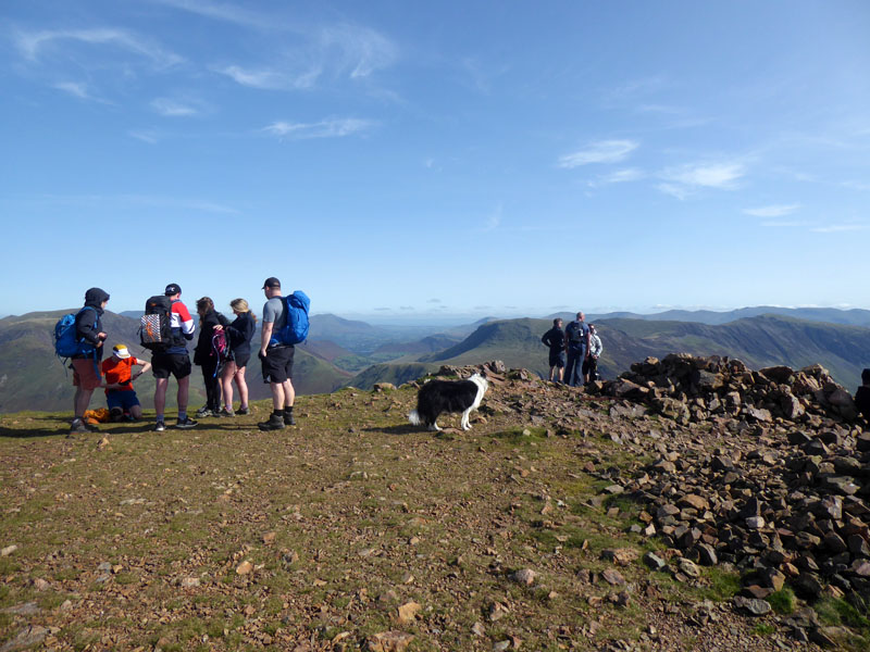
Molly at Red Pike Summit 2,479ft asl
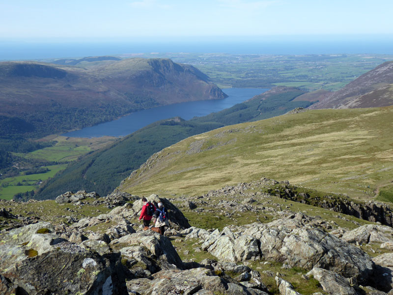
Here's where everyone else joins in having taken the immensely enjoyable route up from Buttermere. My first conversation of the day, excluding my witterings to Molly about the perils of modern life. There is currently a "Rule of Six", but is that just indoors, or outdoors aswell? I find myself counting group numbers - this lot appear to be ok. It is noon, there is no time to hang around, lunch will be taken on High Stile.
Parking in Buttermere
There are pay-to-park areas in Buttermere and those who cannot find a space or prefer not to support local causes and the economy can park along Newlands Pass.
Bleaberry Tarn
The curious shadown of one of the outcrops of Chapel Crags. It's all good up here on a sunny day, with a great view down to Bleaberry Tarn.
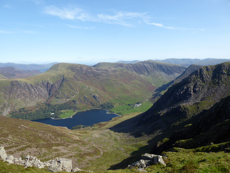
Ennerdale Water from High Stile
A slightly sobering thought crossed my mind....I'm still heading outwards and need to be back at the far side of Ennerdale Water in time for the pub booking.
Molly on top of High Stile 2,644ft asl
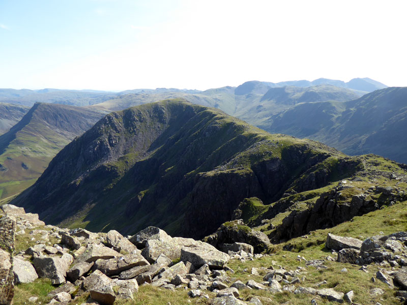
High Crag
Our lunchtime view and also the next target, one mile away across the top of Burtness Comb. There can be little doubt that the High Stile range of fells, including Red Pike and High Crag present a fantastic opportunity for strenuous and most rewarding fellwalking. The landscape is beautiful and the views tremendous.
~~~
Buttermere
Molly on top of High Crag 2,443ft asl
Well, that's the last of the high tops conquered. There will follow the gruelling descent of Gamlin End; even more gruelling if you're coming up. I wonder if many cars are parked at Gatesgarth...
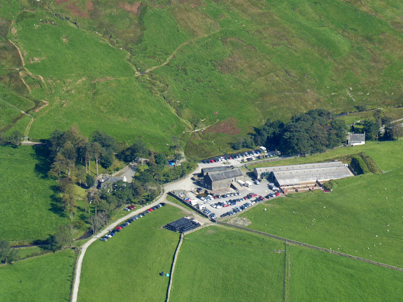
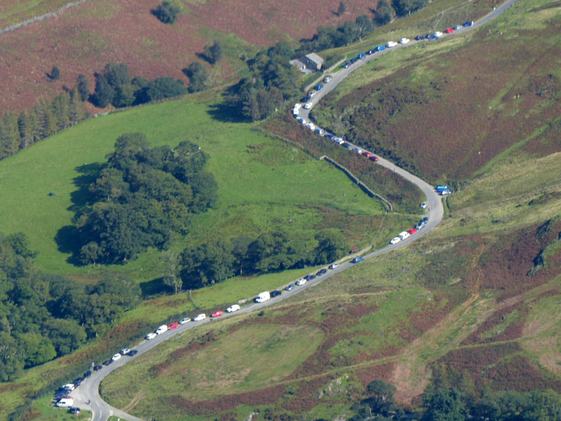
Parking at Gatesgarth
Yes, more than 100 cars and just as many bales of hay have all parked at Gatesgarth Farm.
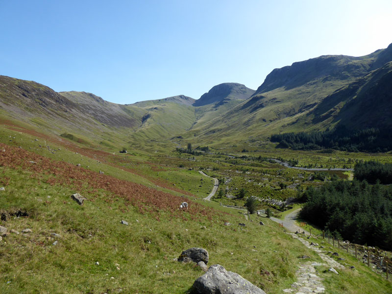
Gamlin End
That's the gruellingly steep scree of Gamlin End. A pitched path has improved matters for some of the way; we now have to walk over Seat to reach the top of Scarth Pass. Later measurents taken using the OS mapping website revealed we were 8 miles away from the car when we paused at Scarth Gap, between High Crag and Haystacks.
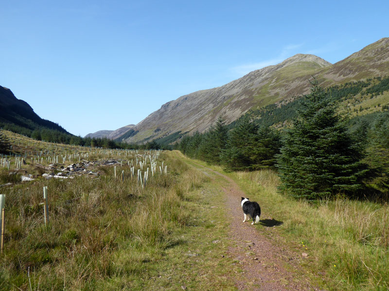
Diversion
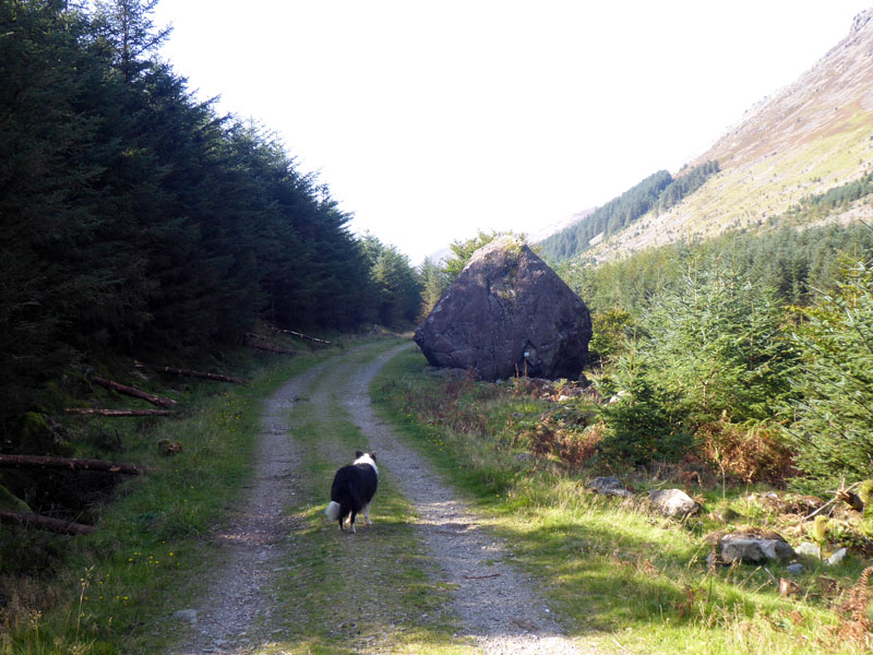
Forestry works have closed the sloping path which leads down towards to the Gillerthwaite path and so we have to detour to a point higher up the valley and use the forestry road.
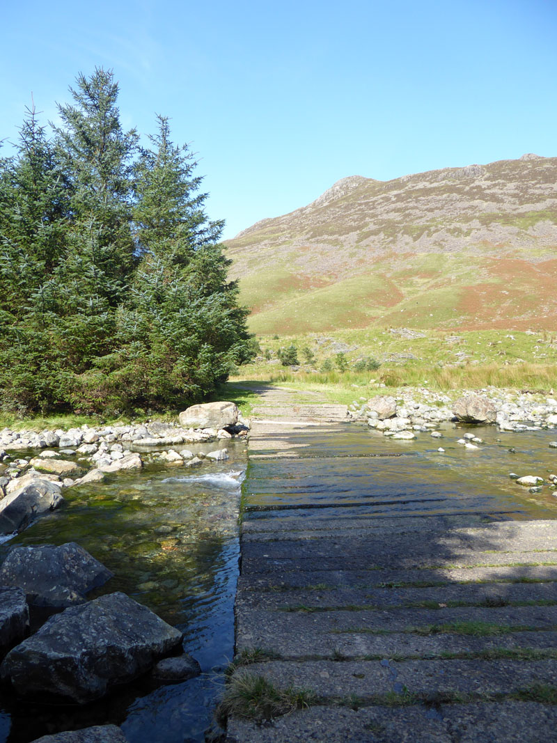
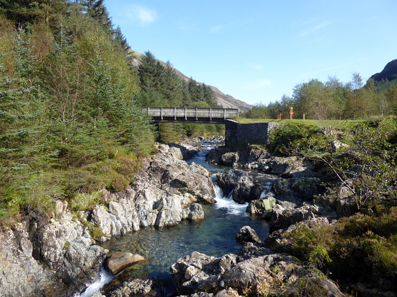
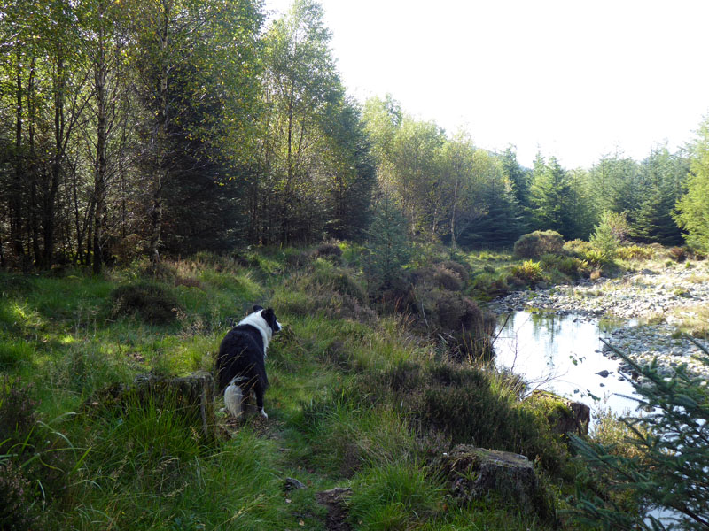
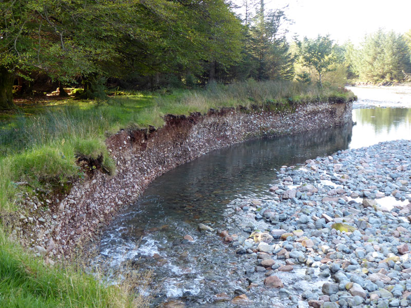
River Liza
The following photos are taken at 15 minute intervals......
14:15hrs
14:30hrs
14:45hrs
15:00hrs
15:15hrs
15:30hrs
15:45hrs
Now we have reached the lake and it's just less than three miles to the car park. A great lakeside walk!
Great Borne
We were on top of Great Borne six hours ago; this is the fourth time I have walked around Ennerdale Lake. We arrived back at the car park at 16:50hrs.
Walkers: Molly and Me.
Time taken: 8hrs 20minutes over a distance of about 18 miles; 10 of which were relatively flat.
Route: Bleach Green car park, Ennerdale shoreline path to Bowness Knott car park, Herdus, Great Borne, Starling Dodd, Red Pike, High Stile, High Crag, Seat, Scarth Gap, Ennerdale Forest Track, public footpath along River Liza, Ennerdale shoreline path back to the car.
Weather and conditions: Sunny and just right for fellwalking, not warm, not cool....just right!
Refreshments: Climber's Nosh in The Shepherd's Arms, Ennerdale Bridge. Covis-19 restrictions have made it very difficult for pubs, but the Shepeherd's Arms have made every effort to keep people safe. Dogs welcome, even though Molly was not at her best - I think she didn't like the perspex screen between ours and the next table, plus she was "overtired".
Last time on Great Borne on my Buttermere to Loweswater walk of 21st January 2011.
All photos copyright Richard Ratcliffe 2020 ©
Take me back to the start ....