
~Rest Dodd to Gray Crag~
2nd July 2021
Rest Dodd from Gray Crag
 |
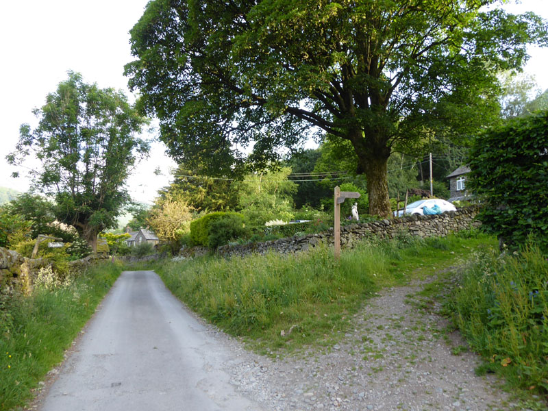 |
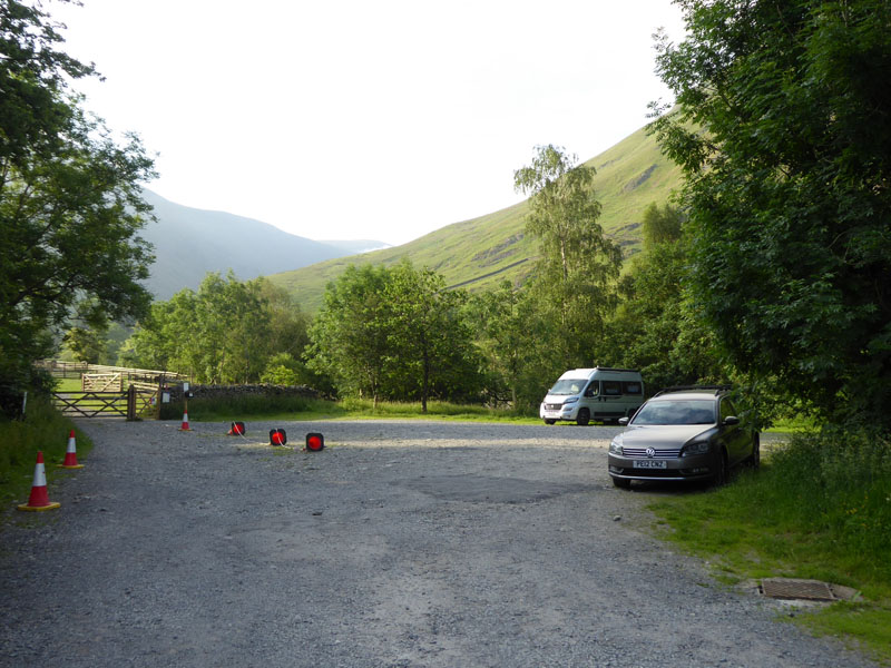
We left home at 0530hrs for the drive to Hartsop near Brotherswater. A short stop at the services on the M6 for a leg stretch and a breakfast butty from Greggs and by just after 0700hrs, the car was parked on this little car park. Donations are invited and I made a sensible offering. Much as I don't care for freeloading campervanners who shun the campsites for lay-bys and car parks, I was not going to park next to them at this time of day. We are heading for Angletarn Beck and take the track to the right on the photo, just west of the car park.
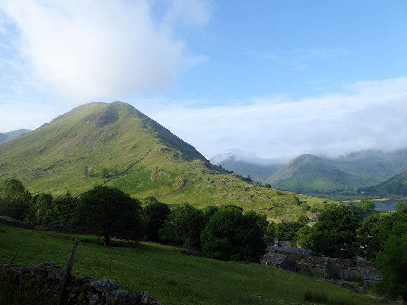
Hartsop Dodd
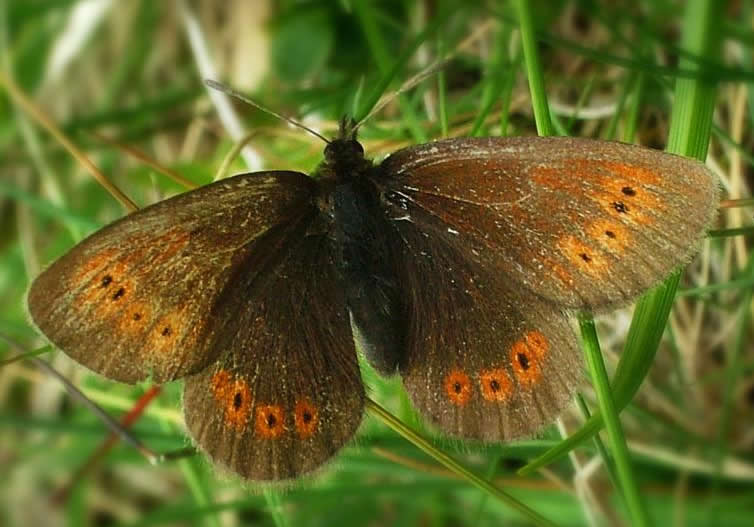
Did you know that the rare butterfly, Mountain Ringlet, can be found high up on Hartsop Dodd? No? Well you do now. Pick the right time of day and year and you might have a chance, up by the posts near the summit. This walk is a Direct Ascent of Rest Dodd, or rather it isn't; we are heading in the wrong direction. But it will be the first fell on this high level mountain walk.
 |
 |
The forecasts led to confusion. BBC had the area down for extensive cloud and maybe some isolated showers; the mountain weather lot offered more scope for optimism with talk of cloud breaks and a very high chance of cloud-free summits. The sunshine in this part of Cumbria was really the first I'd seen today.
To Angletarn Beck
Way back in September 2011, I found the route up Angletarn Beck and decided it was time to do it all again, it's a great little climb and scramble.
Angletarn Beck
I had hoped to arrive last night and pitch the tent for two nights on one of the local campsites, but they were all booked-up for the weekend. This is all down to the Covid-19 pandemic and the "restrictions". I wonder how many of these folk who have "booked"for a cheap weekend in a tent will fail to show? Two sites are stating all weekends booked through July and August. Good Grief! In "normal" years you could just turn up and expect to find somewhere to pitch. Maybe I should have my weekends in the middle of the week!
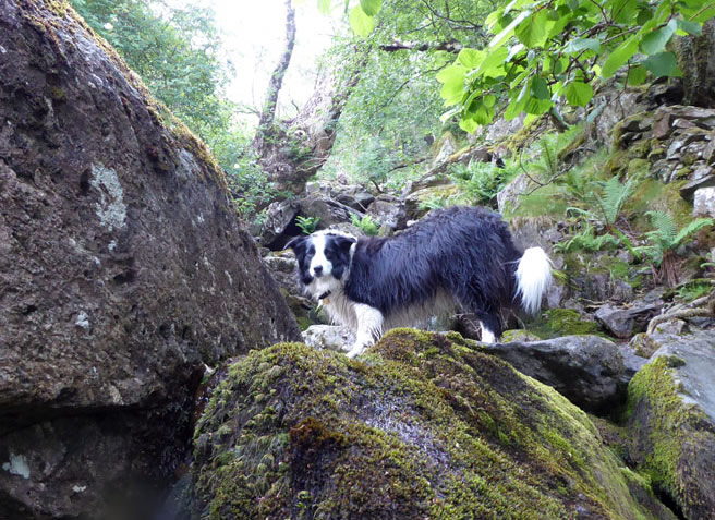
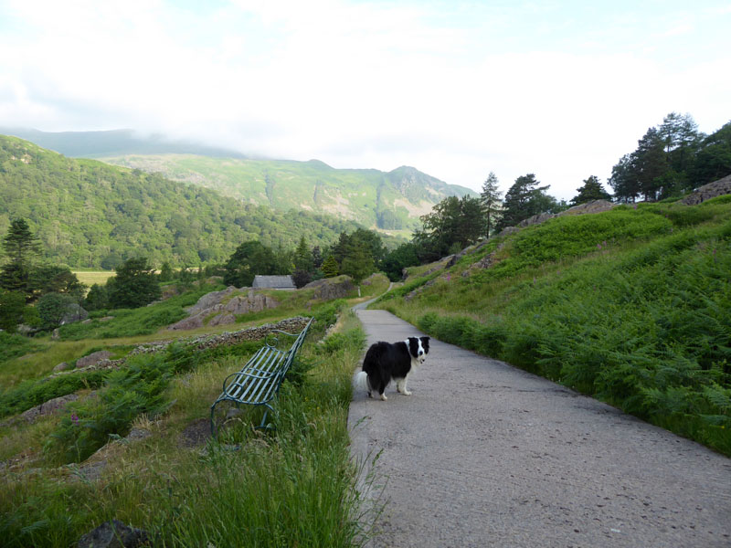
Molly the Collie
Looking Down
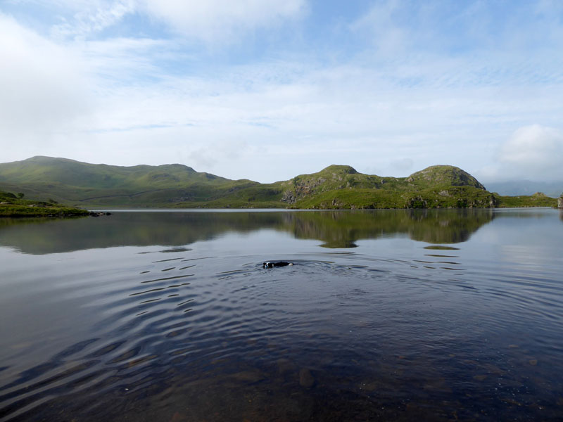
Angle Tarn
~~~
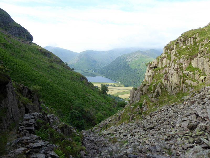
We leave the immense tranquility of Angle Tarn and start heading for Satura Crag en route to Rest Dodd.
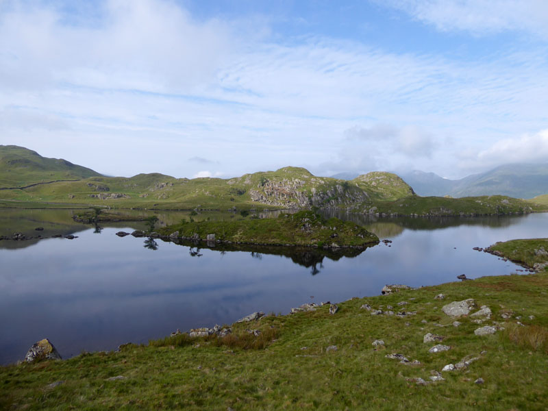
To Satura Crag
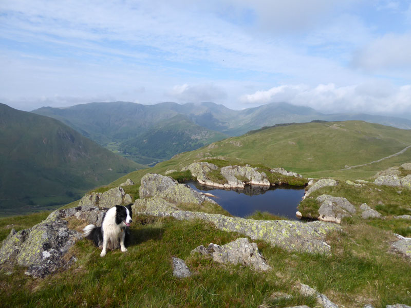
The walk along and across Satura Crag is fantastic. Easy rambling, great rocky conditions, little pools and great views (sometimes).
 |
 |
Molly~Satura Crag |
Gray Crag |
I have a plan in my head to complete the walk with a stroll across Gray Crag and down the steep front, as seen.
To Rest Dodd
I've had a meal on Meal Fell and I'm determined to have a rest on Rest Dodd.
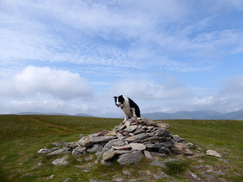
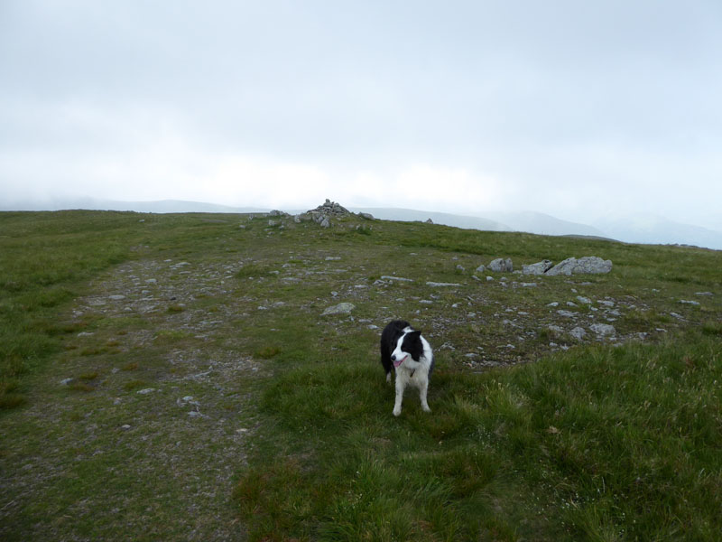
Molly on top of Rest Dodd 2,278ft asl
Well, I settled comfortalby on one of the flat rocks and opened the butty box..then a couple appeared from nowhere, or maybe somewhere and as Matt Hancock knows only too well - if you make the rules, you must obey them, or there will be trouble. I gathered myself up and un-hogged the summit, we'll have 5 minutes somewhere else.
That's Them!
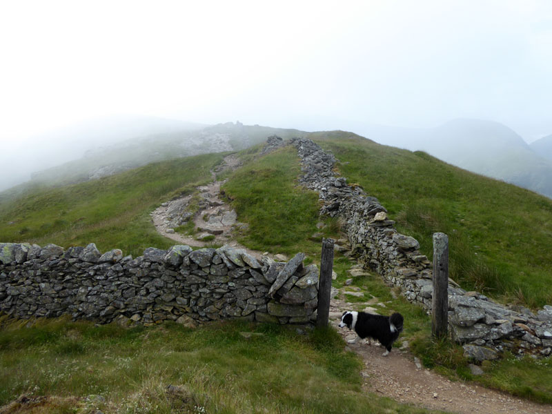
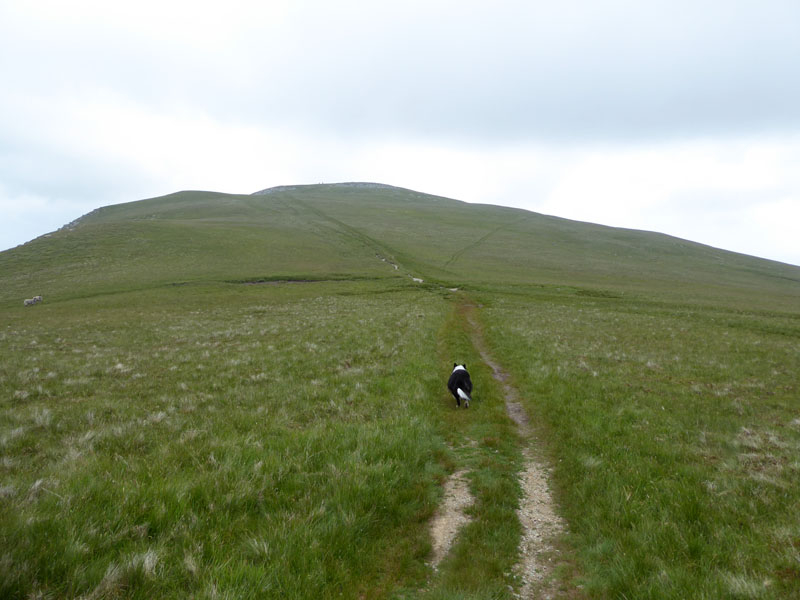
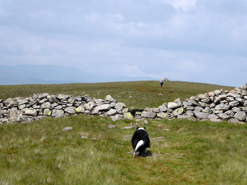
Next up, it's follow the wall to gain The Knott.
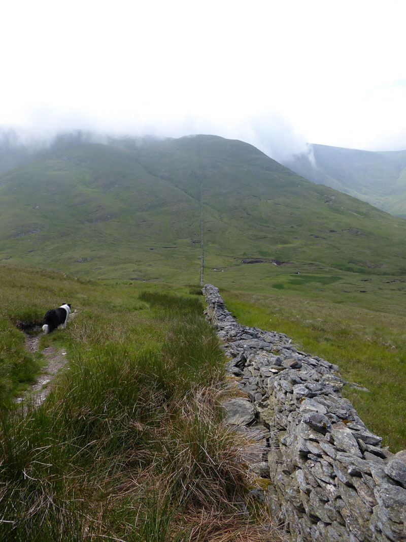
To The Knott
We had a short break at the "unusual junction of walls" just behind this position.
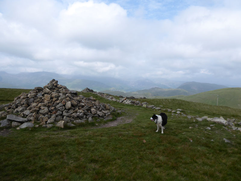
The Knott 2,423ft asl
Not much to say about this, it's a disproportionately large pile of stones for an uninteresting summit, even Molly looks somewhat puzzled by the rocky accumulation. Rampsgill Head is next on our fellbagging tour of Far Eastern Lakeland Fells.
Rampsgill Head 2,581ft asl
Molly's indignation at the state of these summits and lack of anything worth jumping up at continues upon the arrival at the top of Rampsgill Head. Good news, though, we are going to march on to High Raise which is a new one for the dog and this should stir up some enthusiasm.
 |
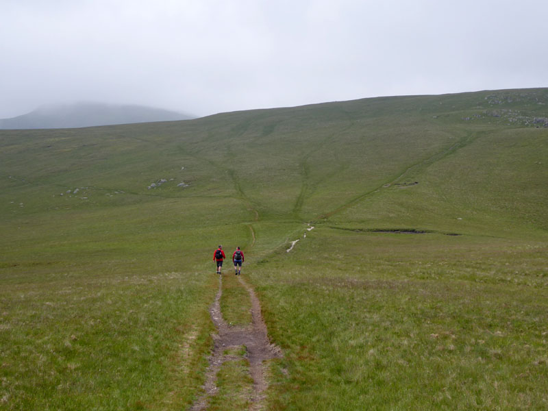 |
To High Raise |
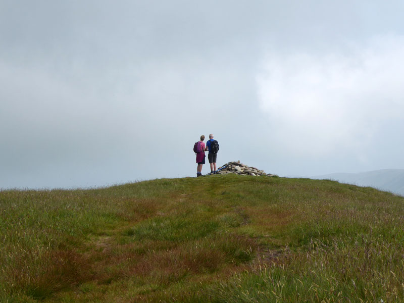
Two Men from Chorley |
The second encounter of the day was with two enthusiastic fellwalkers from Chorley. They had parked in Martindale and were mopping up summits in much the same way as Molly n' me. It left me wondering what Chorley is well known for and I've come up with three: cakes; a huge church (Mormon, I think) & the home constituency of the Speaker of the House of Commons, Sir Lindsay Hoyle. Can you think of any more?
Molly - High Raise 2,634ft asl
They also have a non-league football club which reached the fourth round of the FA Cup in 2021. Without much fuss, we aim for Kidsty Pike.
Molly - Kidsty Pike 2,560ft asl
30th November 2019
Many years ago, my pal Dave Dimmock and I climbed Kidsty Pike from Mardale Head, so whilst subsequent visits have only been summit bagging exercises, I have made one direct ascent of KP.
High Street
We join the route from The Knott to High Street, the first part of which is (are?) the Straits of Riggindale. Chorley cakes are similar to Eccles cakes, but only in as much as Burnley might be considered similar to Blackburn in some regards.
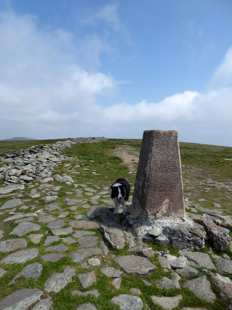
Molly ~ High Street Summit 2,718ft asl
Nah then, it's 1158hrs and this is summit six, that could be a numerical Wainwright summit-bagging pre-noon personal best. I can't readily think of another part of the Lake District Fells where the recognised tops are so close together. And before anyone says anything I know some young lady ran around all the tops in a day or something, recently. But did she stop to take pics, enjoy a cake or two, chuck a ball in to Angle Tarn etc.?
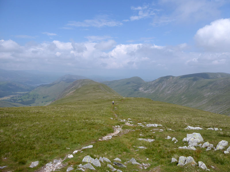
To Thornthwaite Crag
"...little of interest to detain the walker". Quite so.
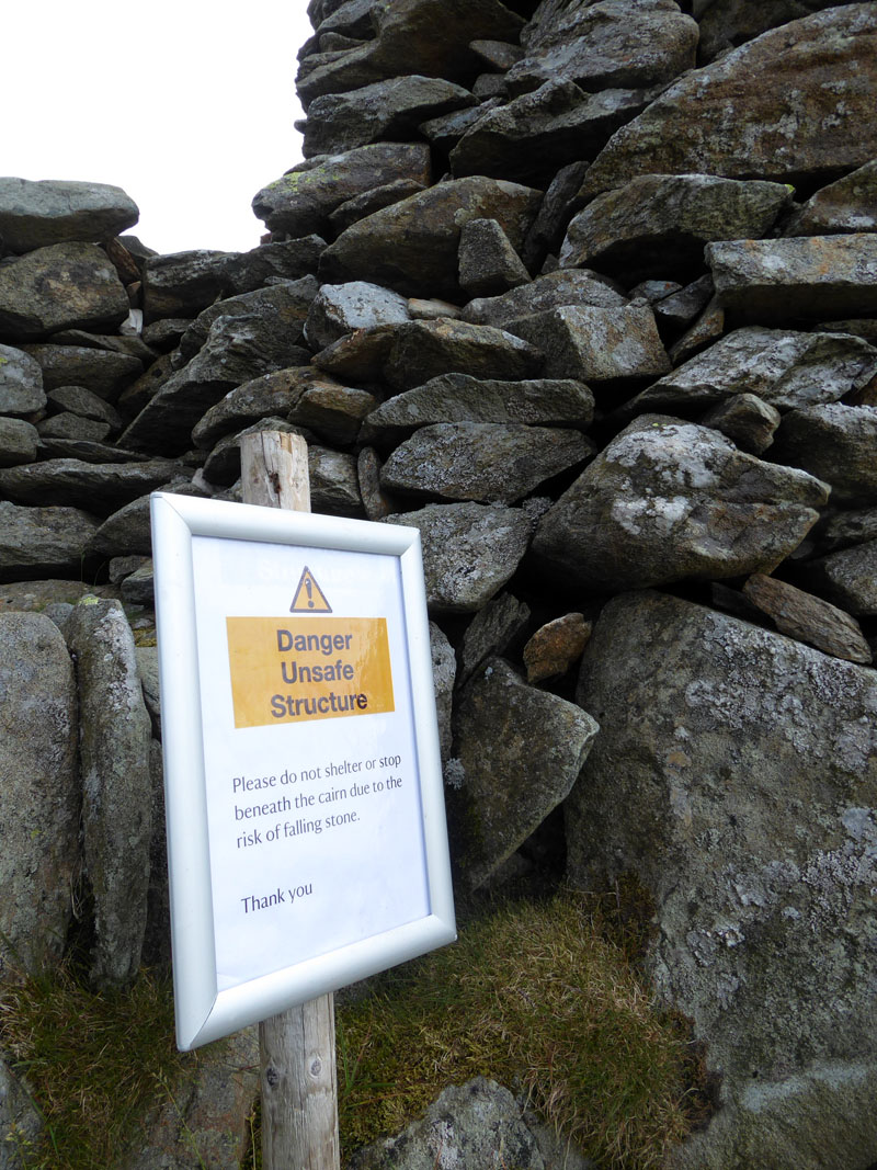
Warning Sign
The popular sandwich eating location of Thornthwaite Beacon has been declared "unsafe". Clever notice...nobody is putting their name to the warning sign, so presumably if it collapses on to you, you won't know who to blame for its demise.
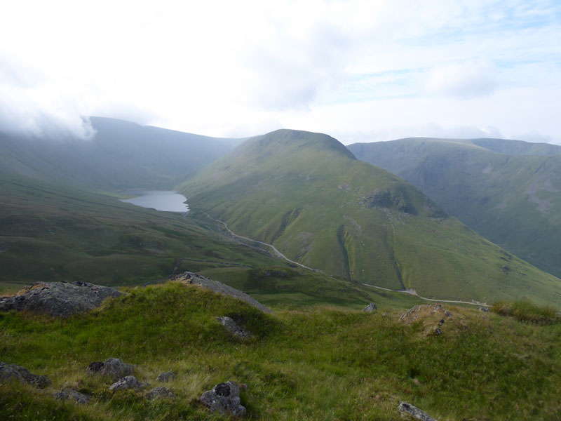
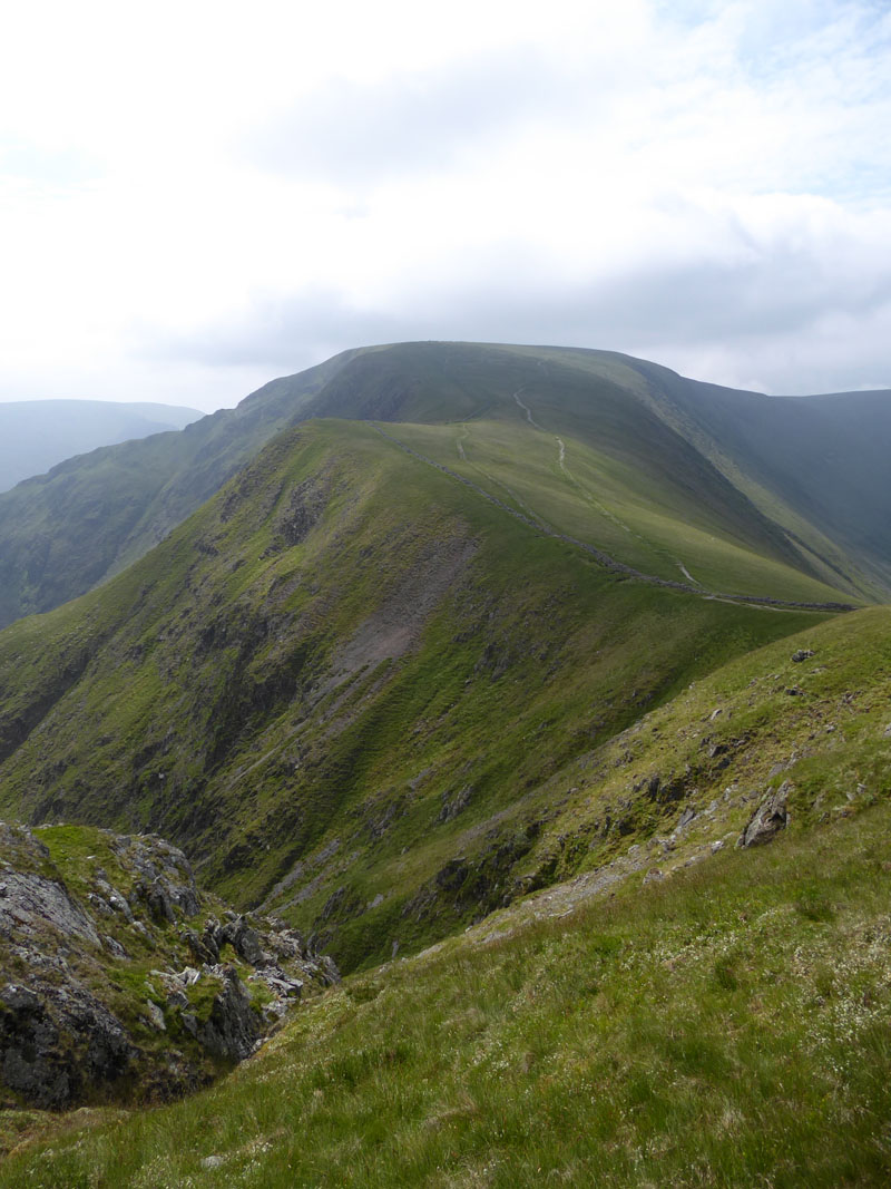
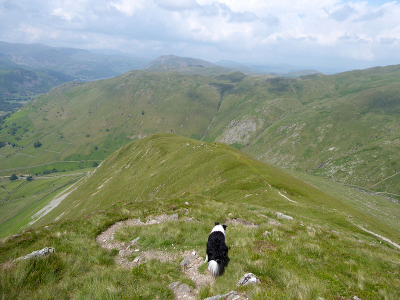
To Gray Crag
Gray Crag
We close in on the recognised summit at the far end of the long ridge from Thornthwaite Crag. The lady asked me if there was a way down from the "end" and I confirmed there was and that we would be taking such. I think she didn't fancy the steep path and headed back to descend along Pasture Beck.
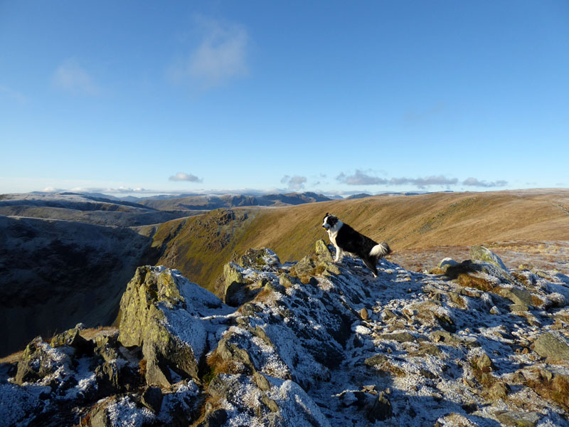
Molly on top of Gray Crag 2,286ft asl
Molly is cock-a-hoop at reaching a second "new" summit. About 30 to go now for madam, the "restrictions" of 2020 and again in 2021 have not been helpful in that regard, but does she care? I don't think so.
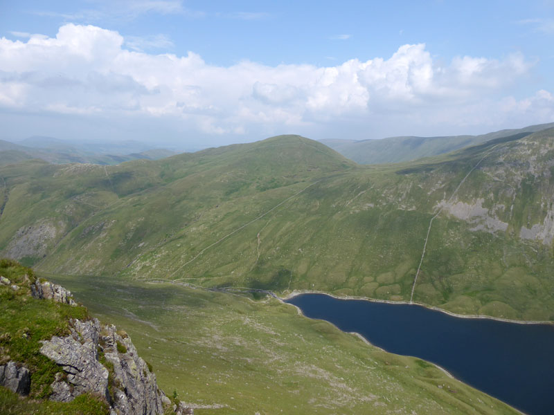
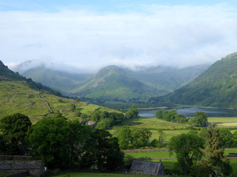
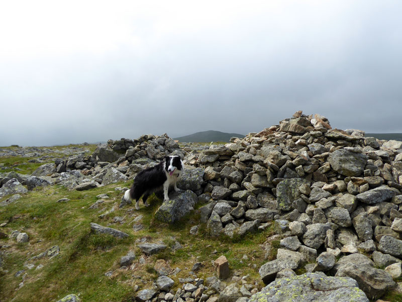
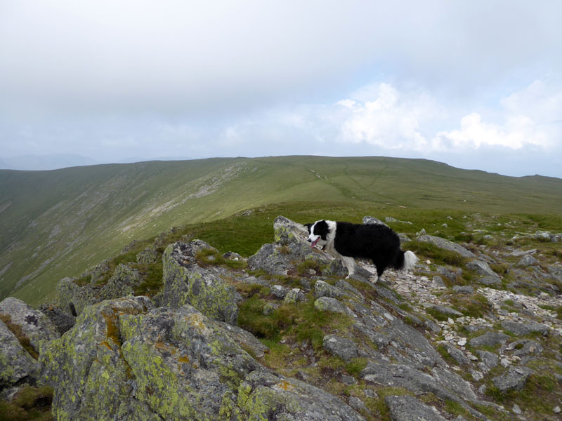
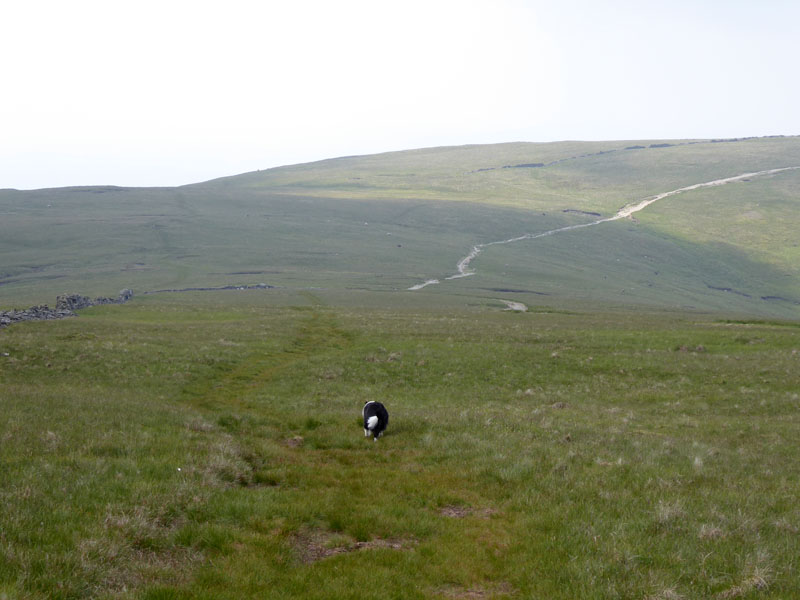
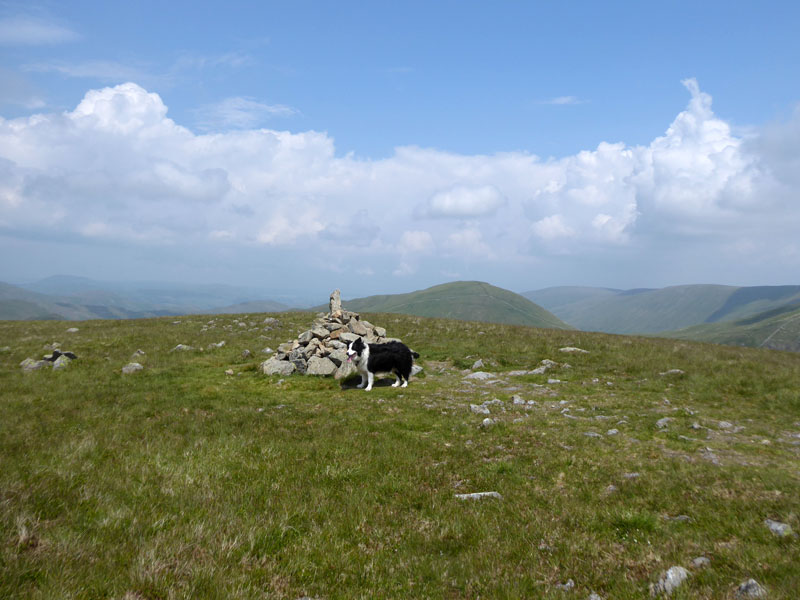
Rest Dodd from Gray Crag
The eight-summit plan has worked rather well. A kind-of Hayeswater Horseshoe, if you like. The lake (was reservoir) has been un-dammed and the water rests at natural levels. One day, when I'm older, my legs weaker, and the tops are too far away, I'll walk around Hayeswater. Perhaps next weekend, then.
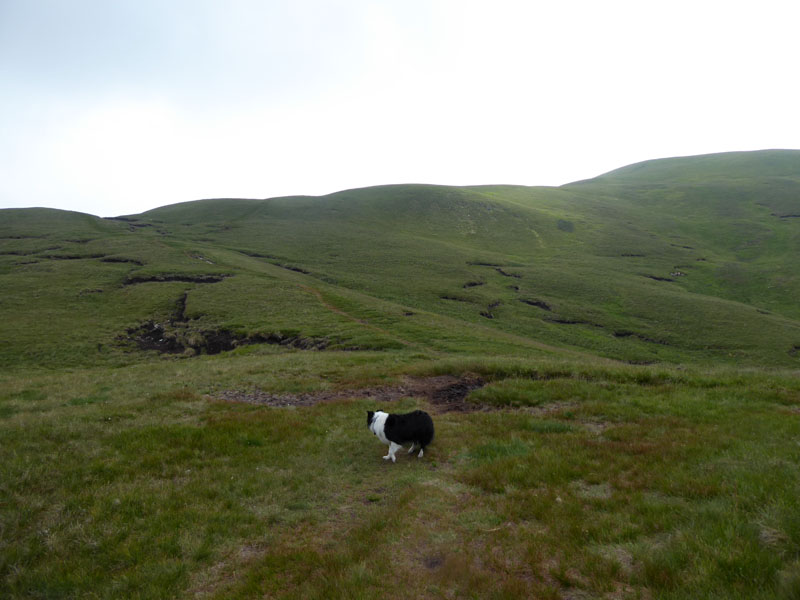
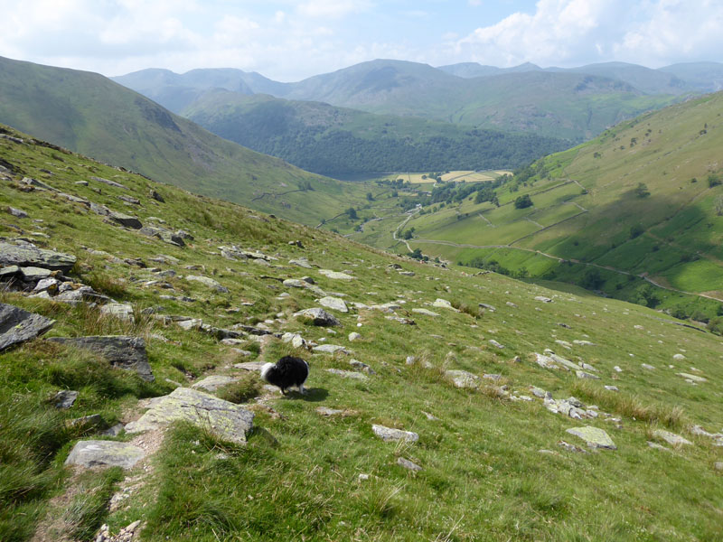
The Descent
~~~
Water Ahead!
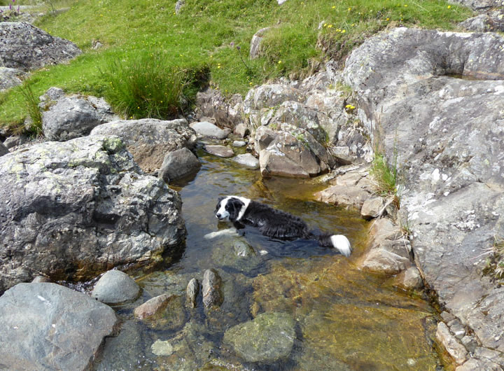
Happy Molly!
I dipped my feet and we rested here for a few minutes. Sad cakes are also a bit like Chorley cakes and Eccles cakes, generally flatter than the earlier mentioned ones.
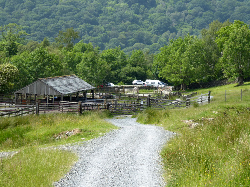
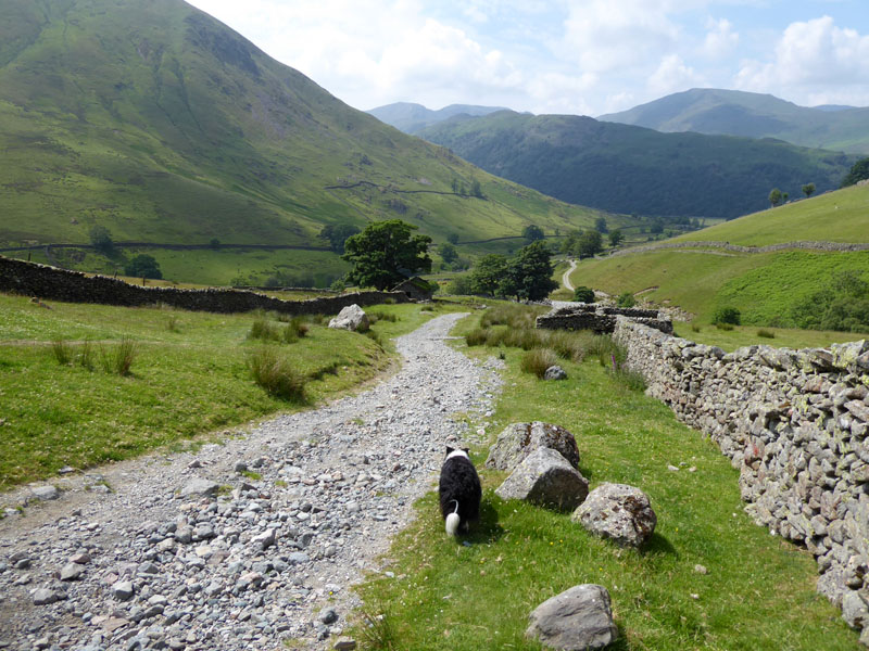
Hartsop Parking
Maybe it would be better if a "suggested donation" was proposed. I donated £3, is that enough? They don't take cards, but don't let that be your excuse.
Mountain Ringlet Butterfly
Walkers: Molly and Me.
Time taken: 7hrs over a distance of about 12 miles.
Route: Hartsop village car park, track to Angletarn Beck, Angle Tarn, Satura Crag, Rest Dodd, The Knott, Rampsgill Head, High Raise, Kidsty Pike, Straits of Riggindale, High Street, Thornthwaite Crag, Gray Crag, Hayeswater Gill, Hartsop.
Weather and conditions: Early misty conditions led to cloudy skies; the afternoon improved to sunnier skies. Warm throughout.
Refreshments: Tea and my own tiffin back at the car.
Just as I was putting my feet up at the end of the walk, a chap turned up with his camera and binoculars and asked fellow enthusiasts of the best way up Hartsop Dodd. He looked genuinely excited when the others told him they had seen the rare insect, butterflies in his stomach perhaps, or hopefully not. It must be at least 1300ft of ascent and pretty steep too, let's hope he found what he was looking for.
All photos, apart from the butterfly one, copyright Richard Ratcliffe 2021 ©
Take me back to the start ....