
~Sail from Thornthwaite~
15th July 2021
Ridge to Eel Crag from Sail
 |
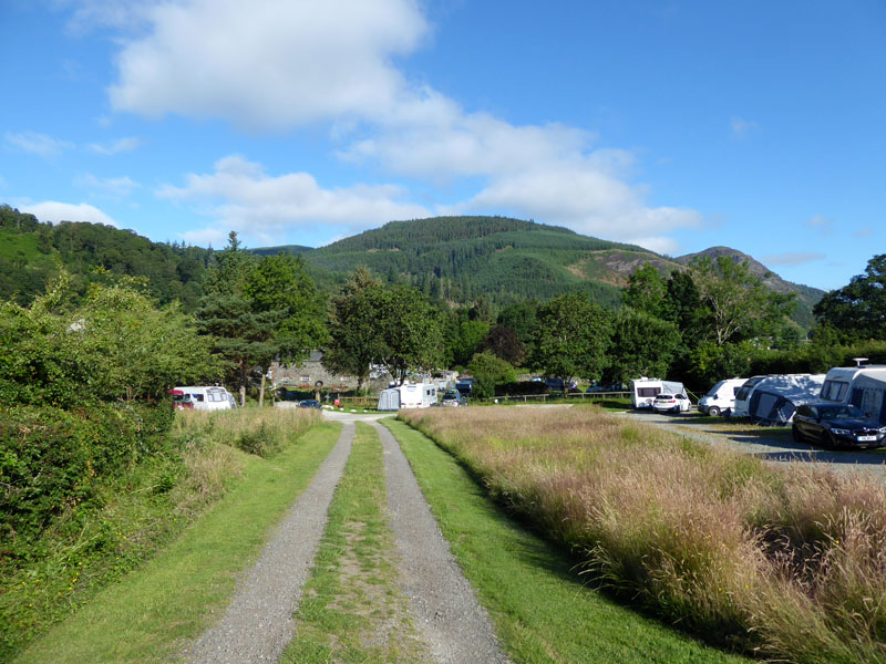 |
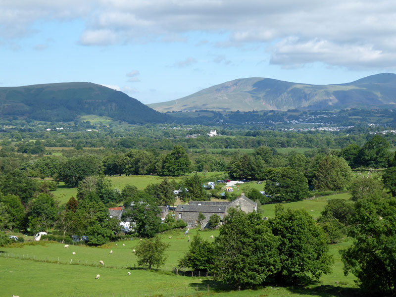
Lane Foot Farm & Campsite
Many campsites were fully booked for the coming weekend, so I decided to go early and enjoy nights under canvas. Usually I would try for the site at Braithwaite but so much has changed there - see later. Lane Foot Farm is in Thornthwaite and they were happy to allow my small party of me n' Molly with a little tent to stay for three nights including Friday - a night which was declared as fully booked on their website. A review of the campsite will be appended after the third walk report of the short holiday: Fellbarrow & Low Fell.
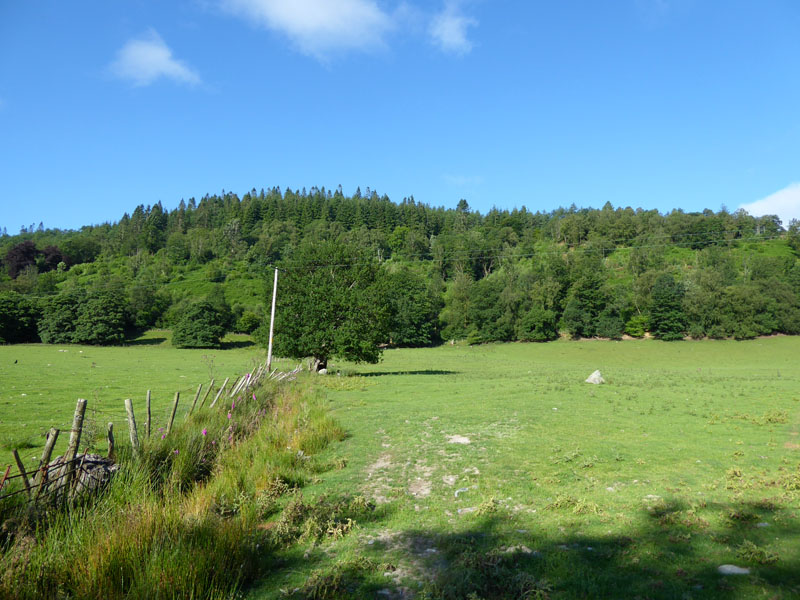
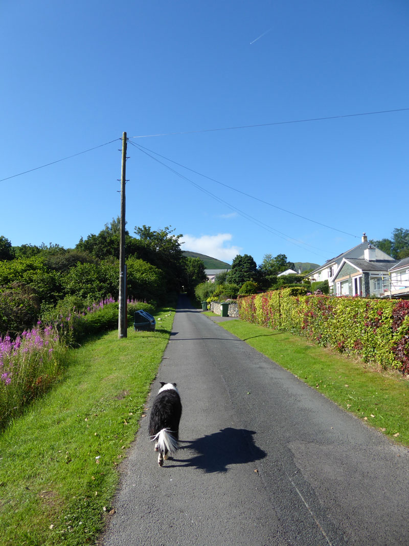
To "Woodlands"
On this bright sunny Thursday morning, Molly n' me emerged from the tent at 0430hrs and had a walk into Thornthwaite and down to St.Mary's Church and then back along the track which leaves Thornthwaite in a southerly direction to and past Ladstock until a public footpath brings walkers down the field (above) into Lane Foot Farm. It was still early so we went back in the tent and re-emerged at 0700hrs. Later, after breakfast, we went back up the field and turned the other way (left) and walked through "Woodlands" as marked on the OS map until we reached Braithwaite at the Hope Memorial Camp.
 |
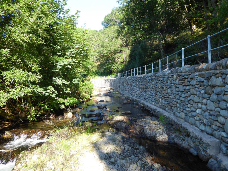 |
The first water opportunity was Coledale Beck. The climbing starts up the tarmac road heading to High Coledale Farm.
To High Coledale
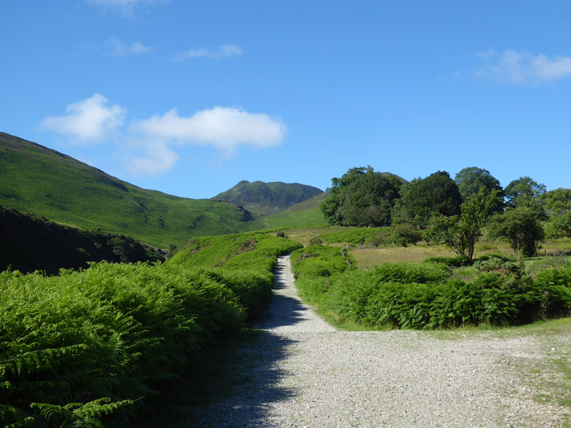
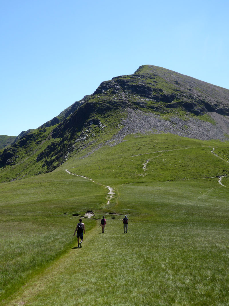
Causey Pike
As we leave the road, we carry on uphill on an old miners' track. Causey Pike dominates the skyline. Wainwright opines that "this is the simplest way of getting a high footing on the Coledale "horse-shoe" from Braithwaite".
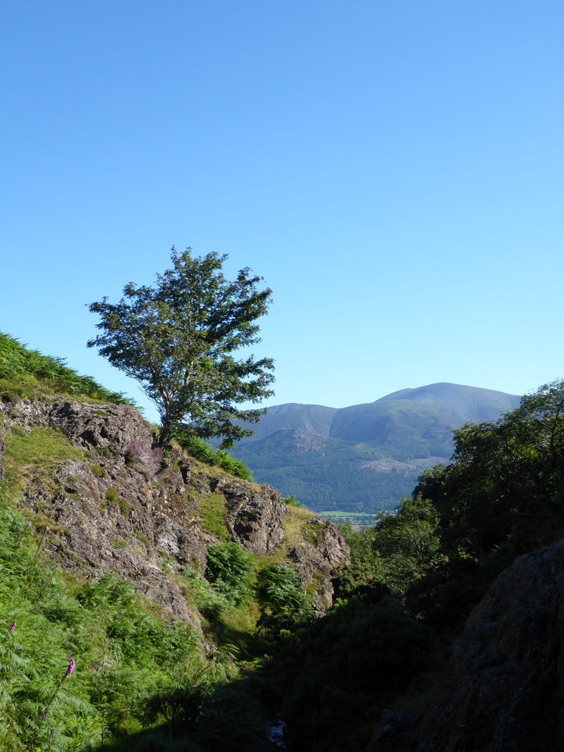
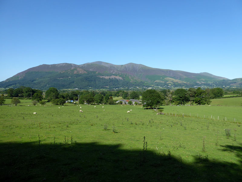
Skiddaw from Barrow Gill
We took a small detour for a second water opportunity for Molly.
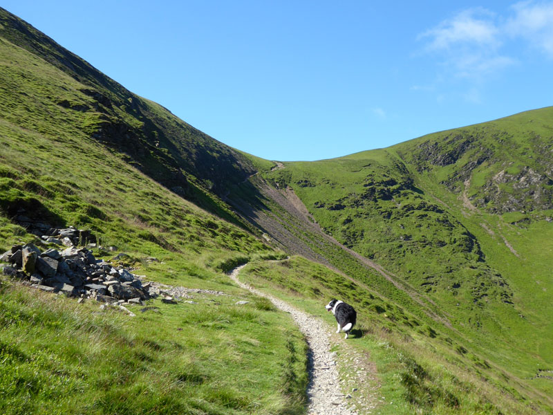
To Barrow Door
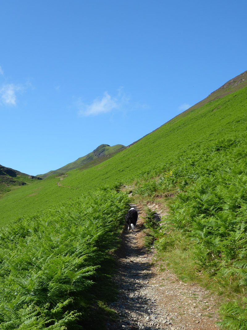
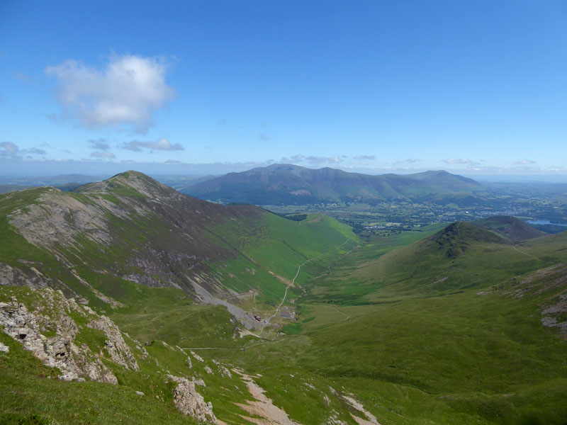
Outerside
The hill ahead is Outerside, it is not on our agenda for today, but others have a different idea...We will skirt to the left and walk across High Moss and aim for Sail Pass.
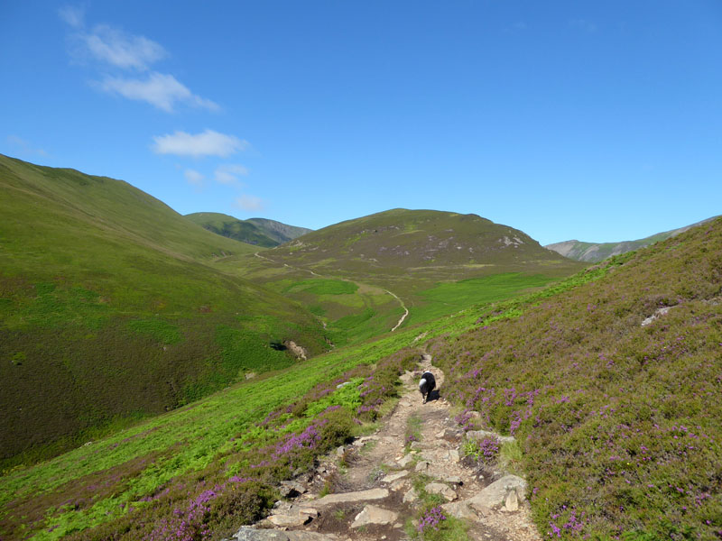
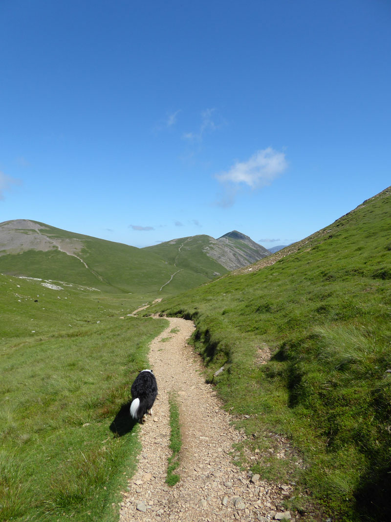
Sail Pass
We had a short break in the shade on the way up to Sail Pass. Molly's third dip was in Stonycroft Gill which was a more significant detour than the one to Barrow Gill. Looking back we saw a large group on Outerside.
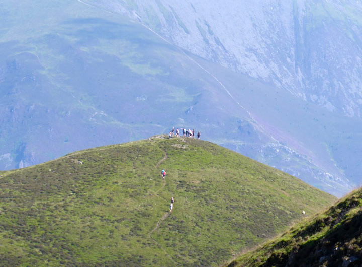
Outersiders
A group of about 18 walkers have assembled on Outerside, perhaps an attempt at an obscure Guinness World Record.
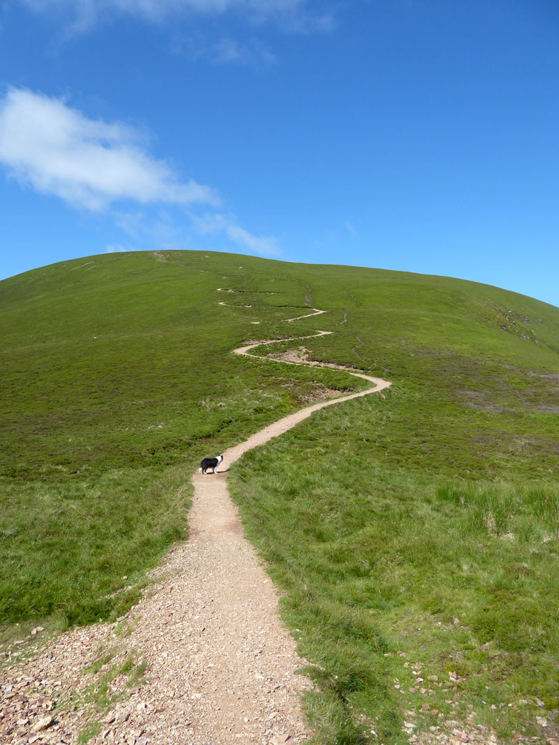
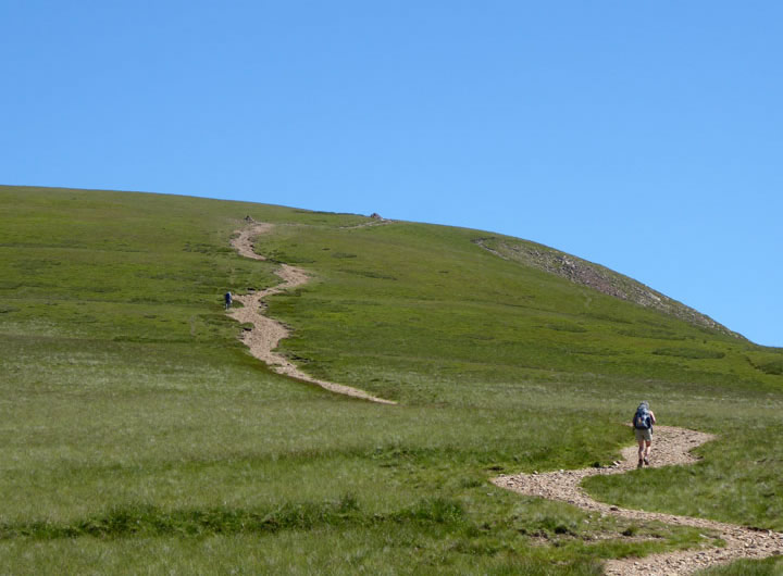
The Sail Zig-Zags
Much debated and not everyone's favourite. You've just got to get your head down and get on with it, it's soon over and then you can get on with the rest of your walk.
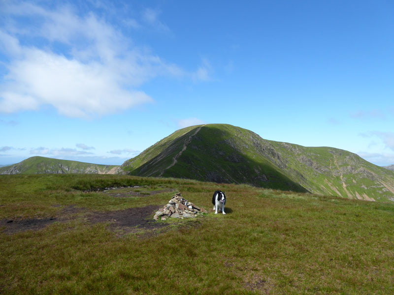
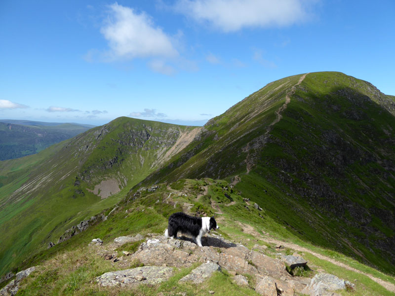
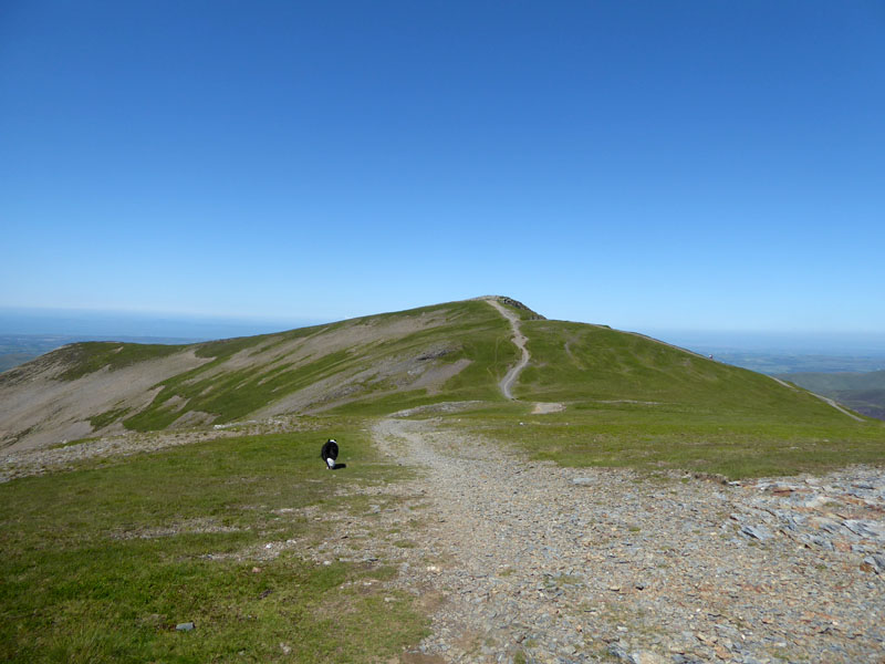
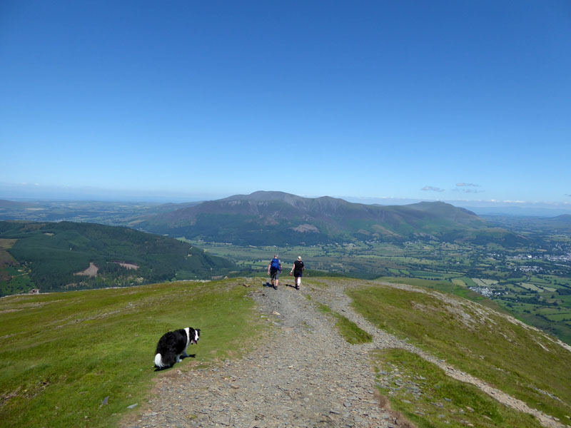
Molly on top of Sail 2,530ft asl
Wandope to the left and Eel Crag direct ahead, up the ridge.
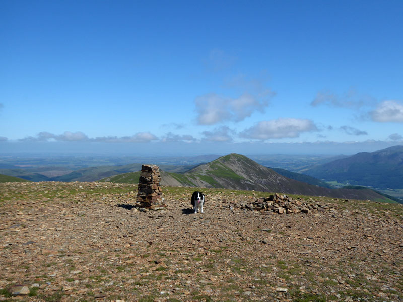
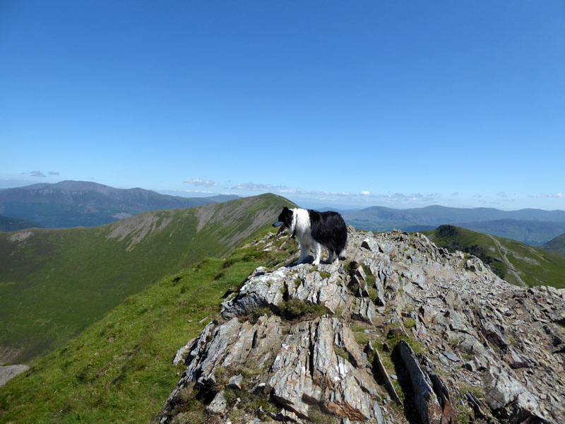
Molly on top of Eel Crag 2,749ft asl
Fortunately, there was a gentle breeze up here, so we left the summit for others to enjoy and had our light lunch with a fine view down Coledale.
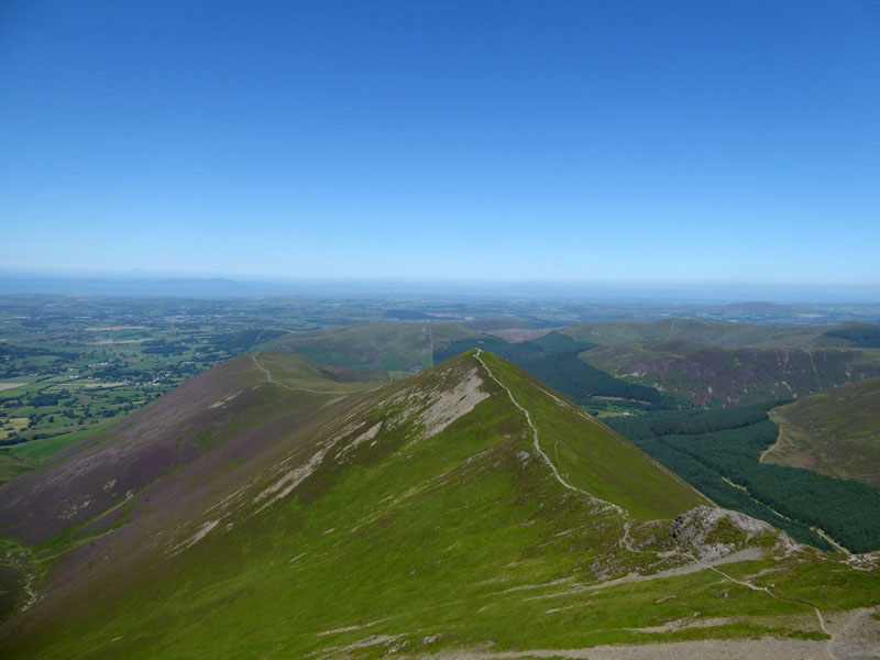
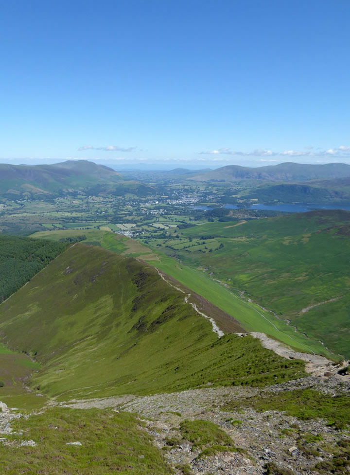
Coledale
The magnificent view to the North, well slightly North-West. A good 20 minutes spent here taking it easy and enjoying the silence. We have yet to encounter anyone else up here.
First Two Walkers
Down at the col between Eel Crag and Grasmoor, we pass firstly a solitary chap and then a solitary chapess; each appearing quite content to be on their own in this wonderful landscape. I saw the lady again in Fitz Park in the evening; sometimes I see a person on their own and assume they might be lonely - put a dog with them and I assume they are not lonely. Assumptions are dangerous things; solitude to one person is painful, but to another it's bliss.
To Coledale Hause
The watershed at the hause will lead to a stream soon enough and we are looking for the head of Gagcale Gill.
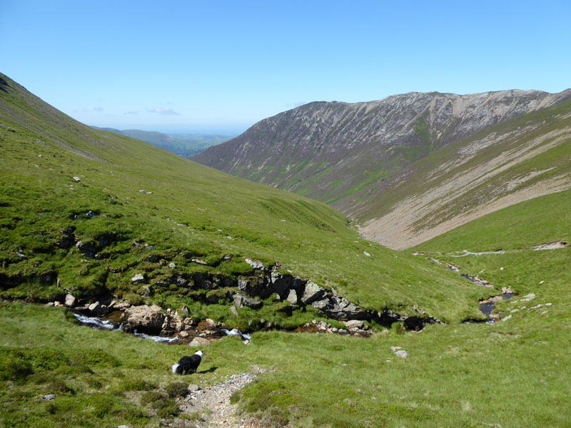
Gasgale Gill and Gasgale Crags
A much-needed dip for Molly and a great view of the impressive Gasgale Crags. My decision was now whether or not to include Hopegill Head into today's plan and why not?
Looking back to Coledale Hause
The couple in the photo asked me for help in finding a way back to their car. We established it was very probably parked at Lanthwaite Green. They had intended to climb Rannerdale Knotts and their SatNav had announced their arrival. Of course, they had not arrived at the right place and unwitttingly they set off up the "mountain". Said mountain turned out to be Whiteside. Whiteside involves 1,000ft more feet of ascent than Rannerdale Knotts. They didn't have a map and they didn't know where they were. I directed them down Gasgale Gill and advised them of a challenge right at the end - they were past caring and just wanted to get back to their car. I think the worst that could happen would be that they got their feet wet, but it could have been a lot worse than that on a different day.
 |
 |
To Hopegill Head |
Hopegill Head Summit 2,525ft asl |
In summer, Hopegill Head summit is always popular with pesky flies, the type which don't bite but take an unusual and unwelcome interest in you. It keeps sandwich eaters off the top. One day I hope to climb Hopegill Head from Hopebeck following Hope Beck into Hope Gill, hopefully finding the final steep push not to difficult.We live in hope, don't we....
Ladyside Pike
Grisedale Pike
 |
 |
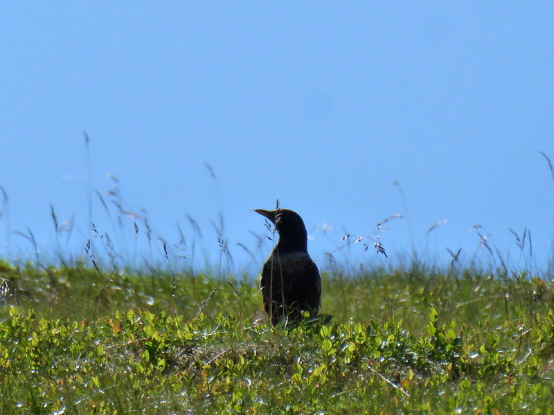
A short break on overlooking Hobcarton Gill; a ring ouzel (unless I'm mistaken) popped by very briefly. Close examination of the original photograph suggests a white ring around the shoulders, hence my suggestion.
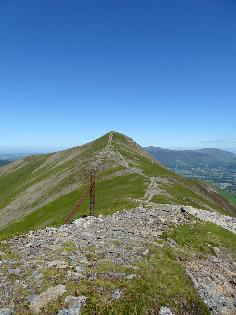
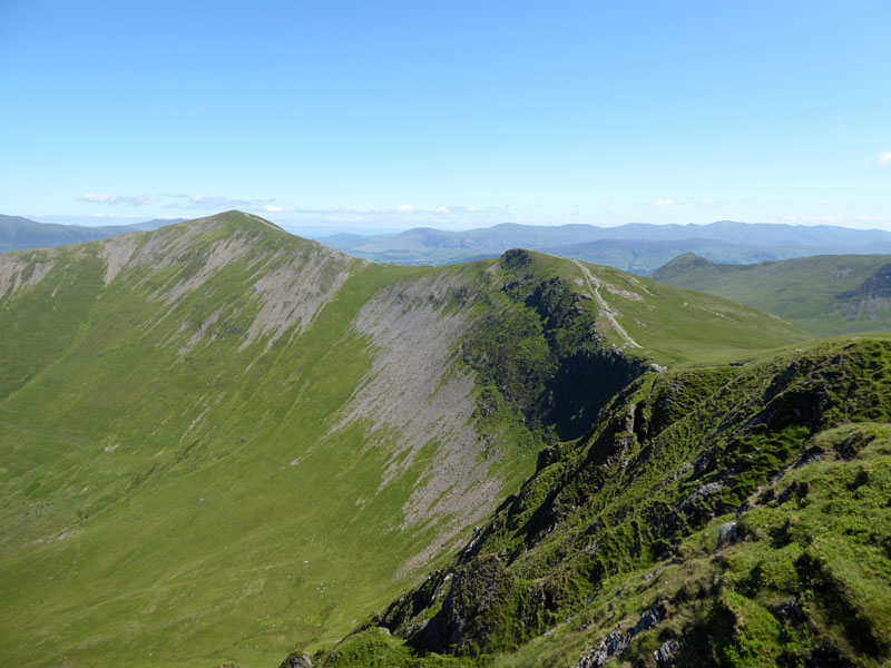
Ridge to Grisedale Pike
I've been blown over on this ridge; I've been soaked up here; I've summitted 16 times and this has got to be one of the best days up here, maybe a little too hot for comfort, otherwise fabtastic!
~~~
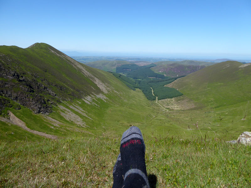
The Way Down
The route down and over Kinn for a good look at what has happened at Scotgate Campsite (dec'd) - now some other long convoluted name implying less of the camping, more of the caravanning.
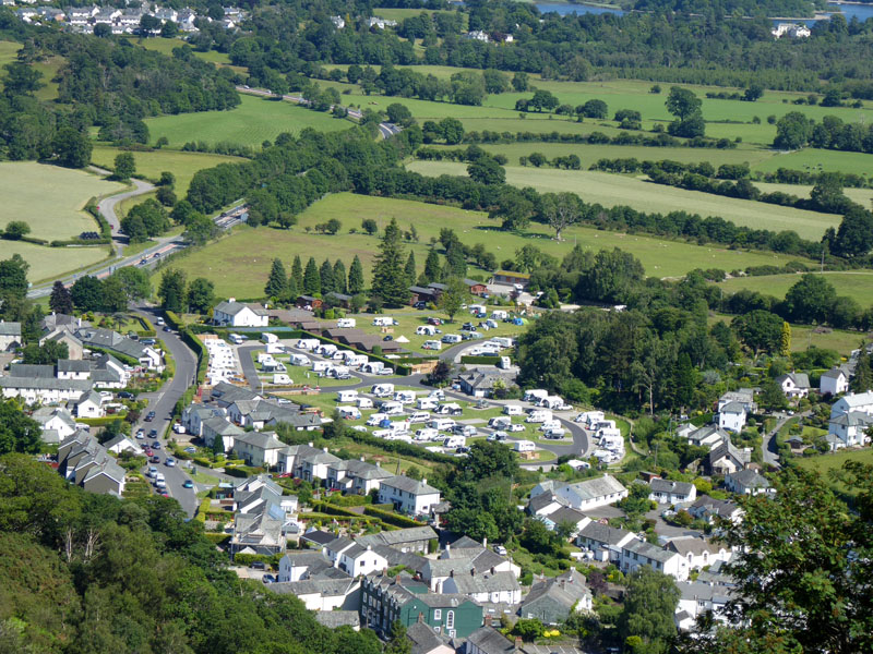
Scotgate Campsite (as was)
What an horrific sight to those who have camped there over the years, no decades! Money, Money, Money! Ubiquitously blanched occupation by campervans and caravans; they appear to have even fenced off the footpath on the right. That's a shame because more than once I was camping elsewhere, but popped in here for a shower. Campers aka second-class citizens as far as cheap holidays are concerned may still be able to pitch their tents on the "sister site" down the old road.
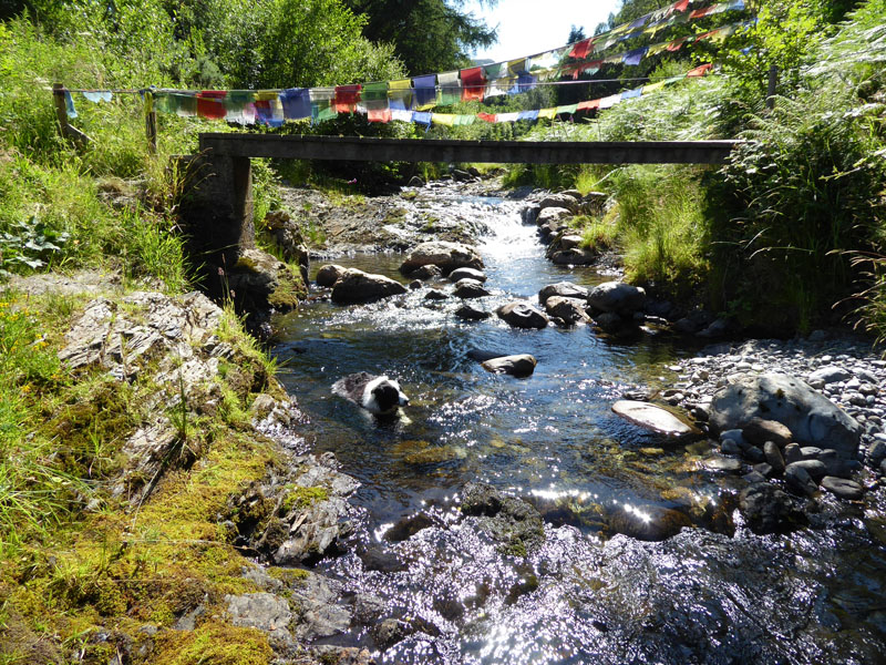
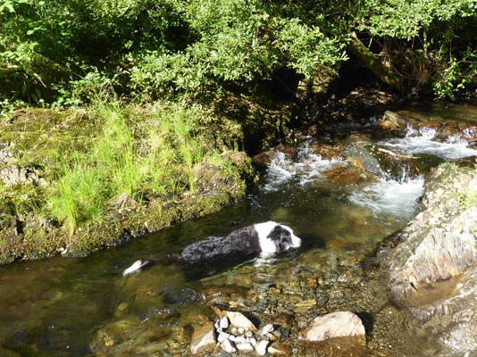
Cooling Off Time
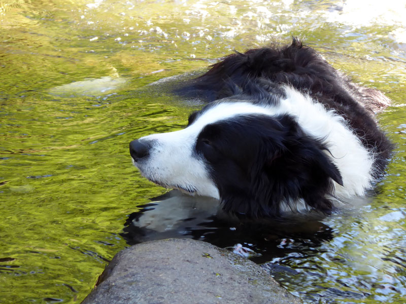
Snoozing
We finally got back to the tent at about 1630hrs after the cooling off period and a pint of shandy at The Coledale Inn.
Walks like this are hard to forget for all the right reasons. Recording them on here for everyone to enjoy is my pleasure and as much for my benefit as viewers who pop by.
Walkers: Molly and Me.
Time taken: 7hrs 15mins over a distance of about 12 miles.
Route: Lane Foot Farm, Thornthwaite, woodland path to Braithwaite, up the tarmac to High Coledale and follow Barrow Gill route to Barrow Door. High Moss (avoiding Outerside); Sail Pass, Sail, Eel Crag, Wandope col down to Gasgale Gill, Coledale Hause, Hopegill Head, Grisedale Pike, Kinn, Braithwaite, Coledale Inn, Thornthwaite.
Weather and conditions: Hot and Sunny!
Refreshments: Shandy at the Coledale Inn.
Tea: Fish & Chips in Keswick
All photos copyright Richard Ratcliffe 2021 ©
Take me back to the start ....