
~Clifton Country Park~
& Wet Earth Colliery
5th November 2021
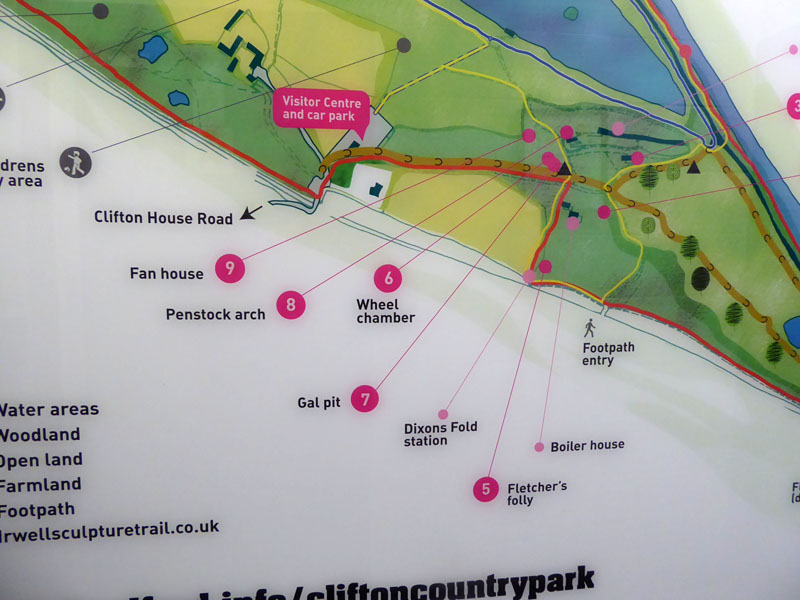
Penstock Arch
 |
 |
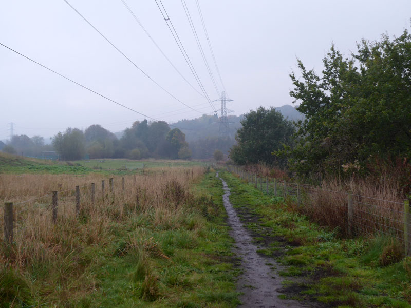
Clifton Country Park
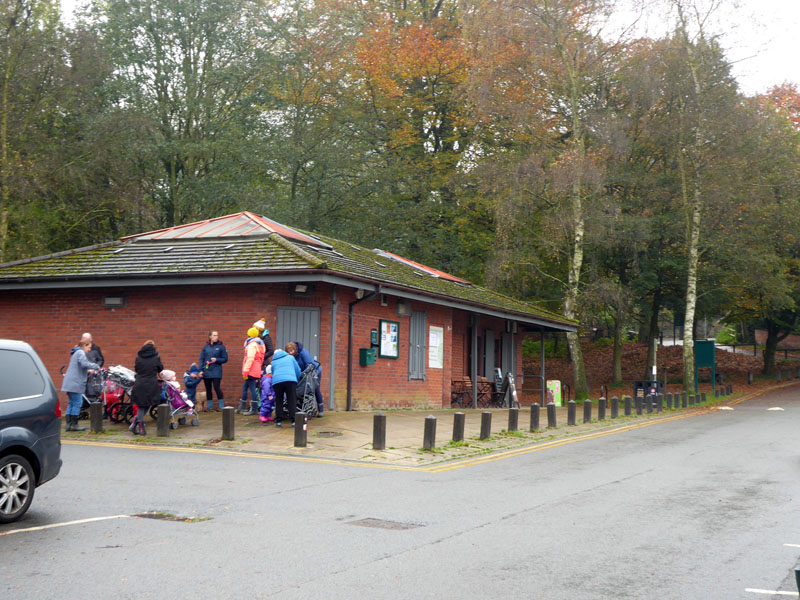
This walk is an exploration of a fascinating area of rich industrial and social history within what is now a beautifully restored landscape - all within the auspices of Salford City Council, close to the urban centres of Salford, Manchester and Bolton. The M60 motorway (once the M62) could destroy the feeling of the walk, but it doesn't, it's just today's popular transport conduit and in years to come it might be another "green route", marked as motorway "dismantled" on future online maps. Parking is free of charge at the visitor centre, found off the A666 in Clifton. W3W ///remote.hints.breath or if you prefer, M27 6NG.
River Irwell
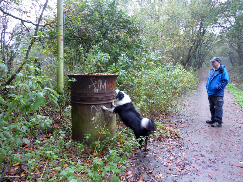
Peter is with us today and it's a Friday. Well every now and again we take a day off work and nowadays you can take telephone calls wherever you are and read emails, if you want to, so we're as much at work as those "working from home", only we have got dressed and there'll be no zoom calls. Our first sight of the Irwell and a footbridge. We are walking round the Clifton Marina for starters.
 |
 |
The Marina is a peaceful artificial lake, a flooded gravel pit. I'll be able to show a photo of the water later. The fully accessible pathway circles the lake, but down to the left of Molly, in the photo on the right, is Fletcher's Canal and soon enough we drop into the disused waterway for a closer look.
Fletcher's Canal
In truth, this is my second visit here in the space of two weeks. The first one was by accident as I had dropped Karen off in Manchester for some hair therapy and with Molly in tow, I drove out of the city looking for a green space. The first one lacked parking and then I got stuck in roadworks and stuff. I found myself at a butty shop in Clifton and the staff offered the Country Park as an ideal place for dog walking. I did much the same walk and realised as I went along how remarkable the area was and vowed to come back with a more enquiring mind. In the meantime I found a series of videos on YouTube by "Martin Zero" detailing everything you might want to know about Wet Earth Colliery. I'll try linking into his channel later on.
~~~
For ease of understanding, let's say the work started around 1750. That's 1750, not 1850...100 years before railway-mania. James Brindley, the renowned canal engineer was commissioned to find a way of extracting water from the fledgling Wet Earth Colliery. The solution was remarkable with a weir higher up the Irwell providing a head of water....a tunnelled conduit allowed water to flow underground to a point lower down the river where a spyhon system was devised. Water dropped down the tunnel and under the Irwell, to rise up and emerge high above the river on the south side and into this canal - built by Matthew Fletcher. The water then flowed to the mine to power a water wheel which was used to raise buckets of water out of the mine.
~~~
Above, the narrow walkway between the canal and the river, 40ft below. So Brindley, along with Fletcher, managed to get the water to flow steadily high above the river. Soon the water in the canal would turn at a right-angle and flow into the wheel chamber of the coal mine.
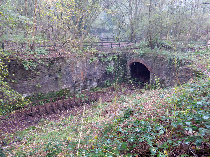
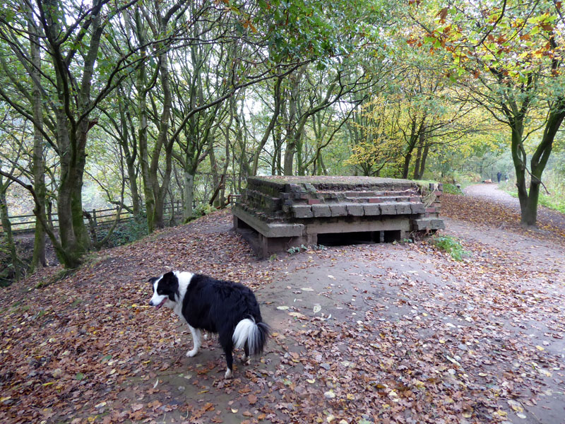
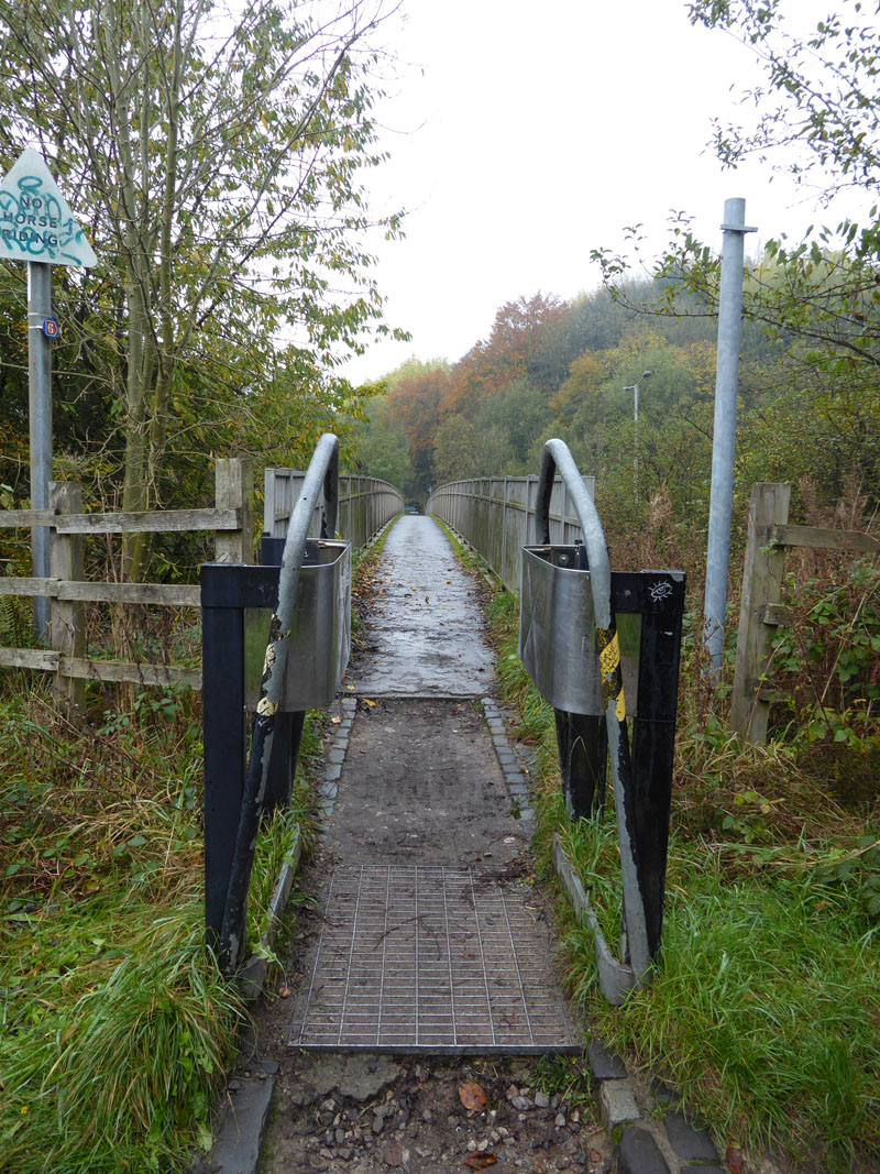
Penstock Arch
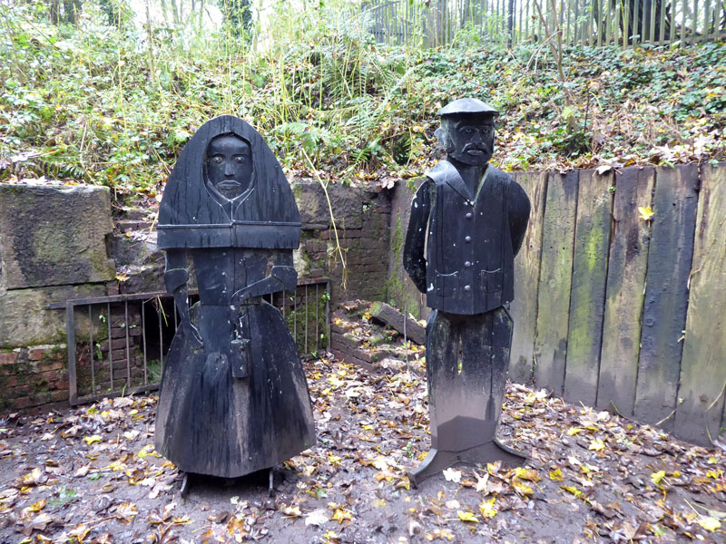
This is where the water would flow underground to the water wheel. Later Fletcher widened the channel so boats could travel under the arch and underground to where the mineshafts came up. Coal could then be put straight into the boats. The steel structure is a more modern representation of one of the boats, such would not have floated too well.
Information Board
Full credit to Salford City Council for providing plenty of information baords and leaflets.
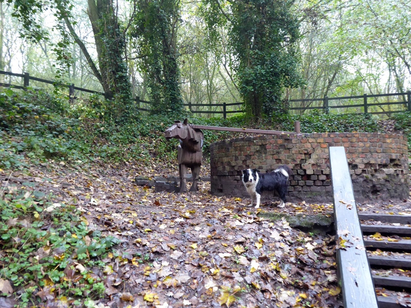
Gal Pit
The circular brick structure used to have a wooden frame around which a horse walked to pull ropes up from the pit. Adjacent to this is the wheel chamber.....
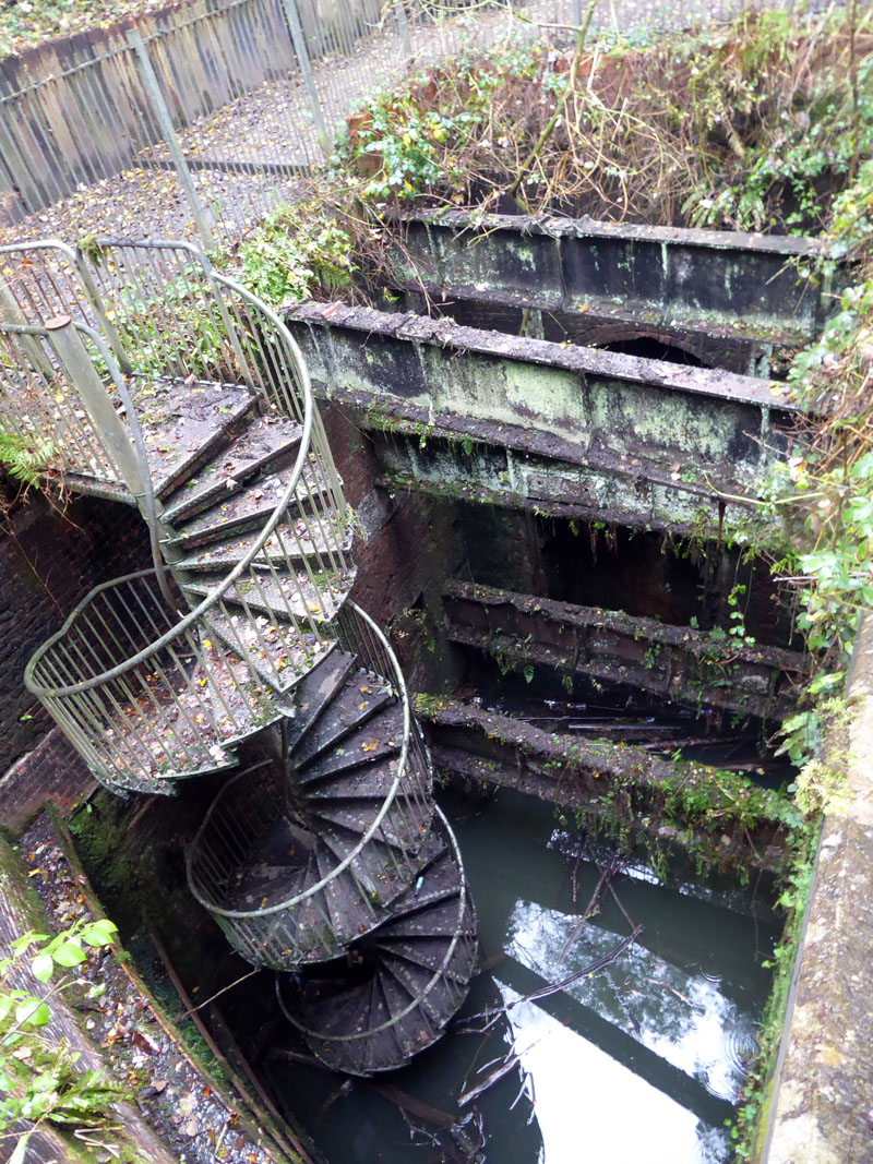
Wheel Chamber
This is where the water wheel wound have been installed. The spiral staircase is a later addition and access is restricted by a locked gate.
Men & Women of Steel
So work dries up in 2020....furlough payments keep us fed; failing that our social security system steps in. How do you suppose the miners and their families got by in the 18th Century? Wet Earth Colliery was the first deep mine to be sunk in this valley and it was worked from c.1750 until 1928 - almost 180 years.
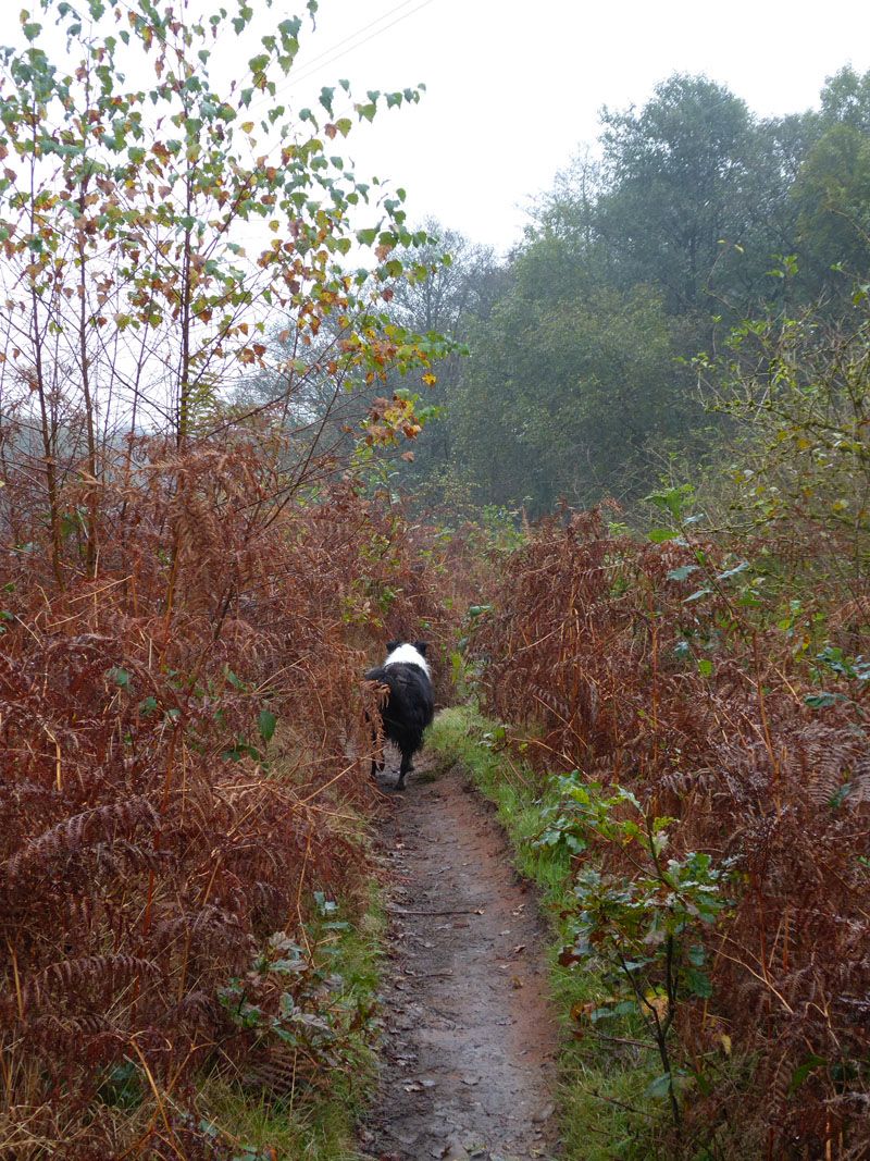
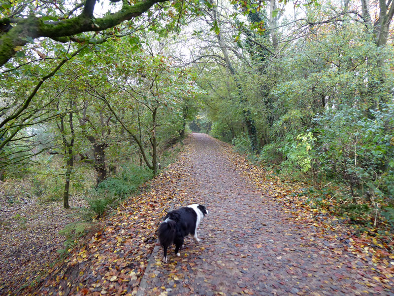
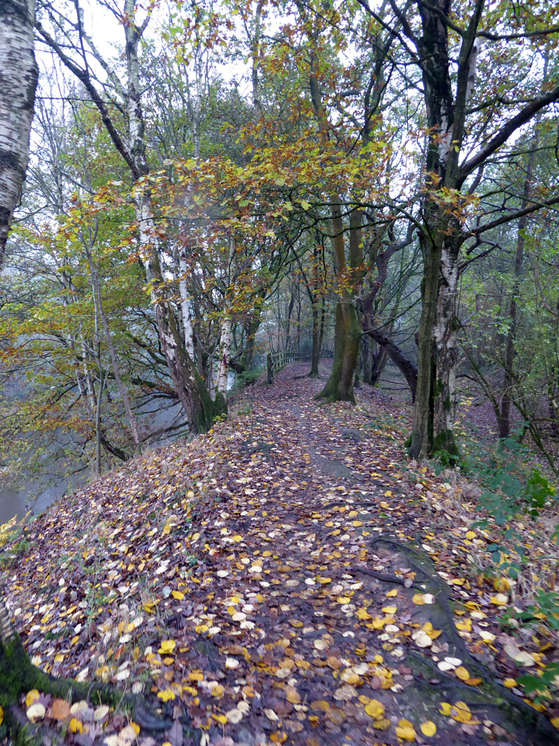
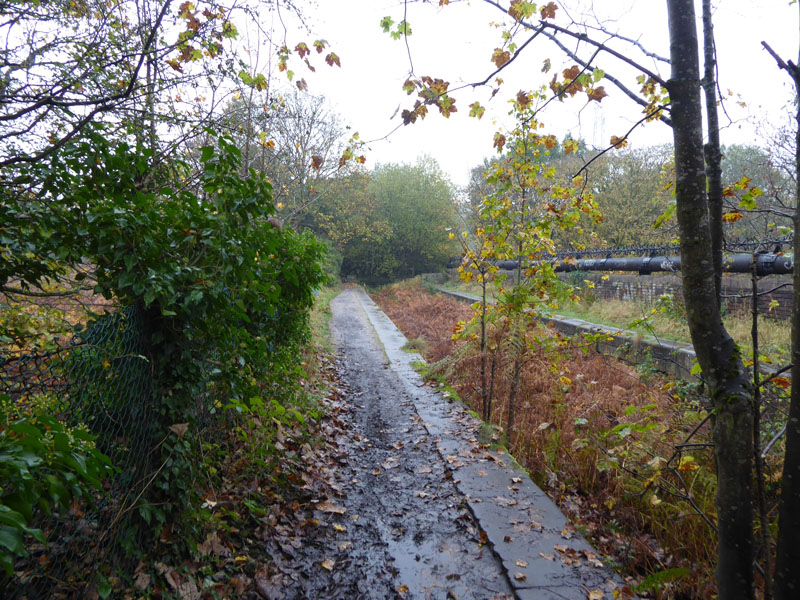
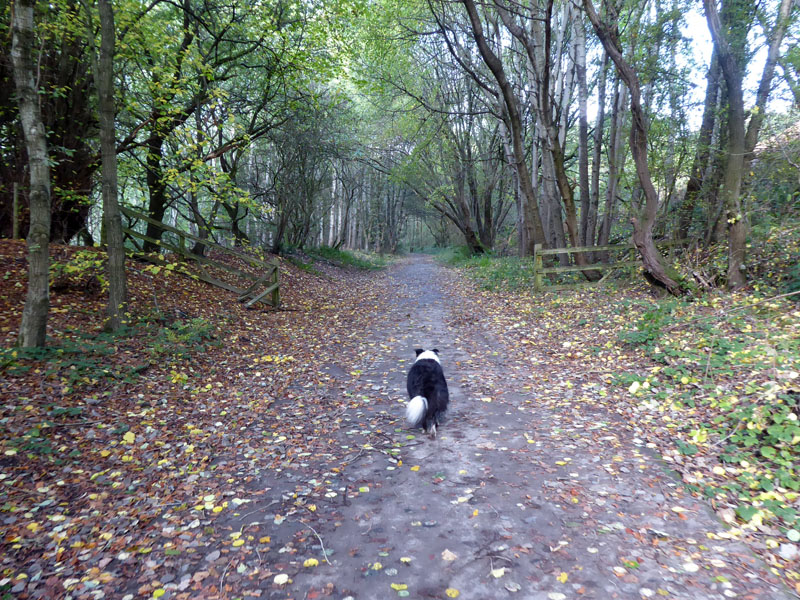
The Salford Trail
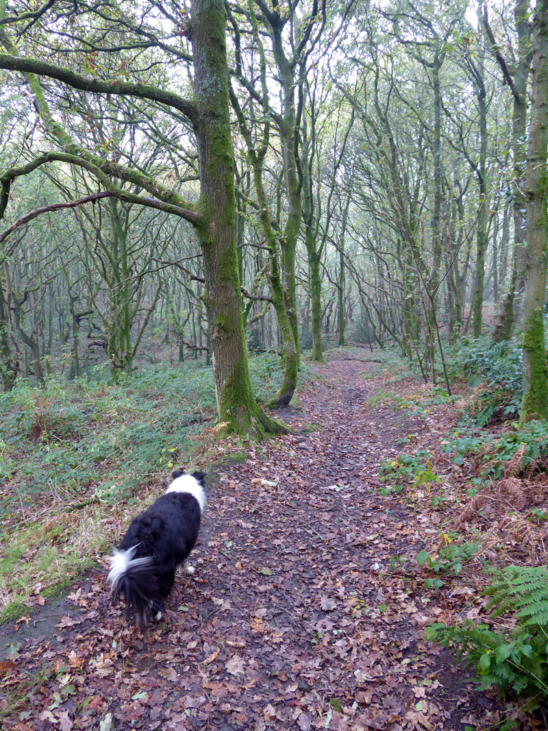
And now our walk continues down the Irwell on The Salford Trail on a narrow walkway. Autumn colours subdued by the murky weather, soon we begin to notice more than ever the steady drone of motorway traffic.
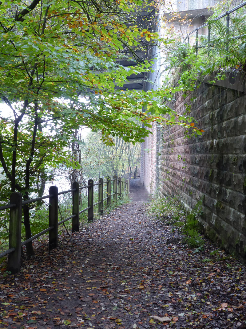
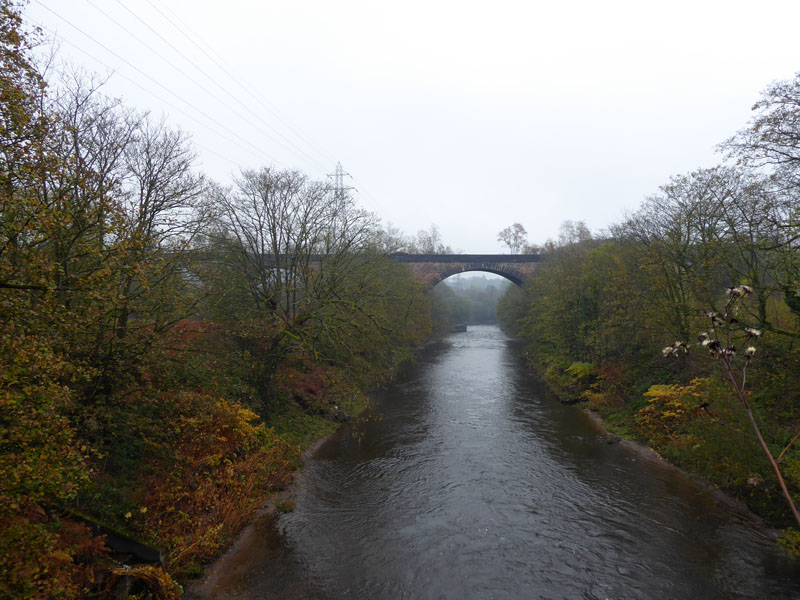
Under the M60
This part of the then M62 motorway was constructed around 1971 and here a single-span bridge crosses the Irwell. I've driven along this route so many times and never given much thought to what lies beneath and in the area. Drivers get a good view of the Clifton Railway Viaduct - on a better day. When it was the M62 it was the main route to Manchester Airport from East Lancashire; when the ring road was completed and it became the M60, it's preferable for us to go the other way round to reach anything south of Manchester.
 |
 |
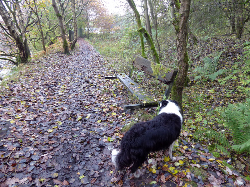
A Seat by The River |
Clifton Canal Aqueduct |
A neglected and forlorn seat furnishes the footpath as we leave the M60 and approach the Clifton Aqueduct. The aqueduct was one of six belonging to the Manchester, Bury and Bolton Canal. Two remain, one here and one at Prestolee. The canal had a junction with Fletcher's Canal and was mainy concerned with the transport of locally mined coal. The canal fell into disuse from 1924 onwards and was abandoned completely in 1961. The aqueduct here is a Grade II listed structure.
Clifton Railway Viaduct
The disused railway viaduct was built in 1846 and has 13 arches. Locally it was and is known as "13 Arches". The line was closed in 1966.
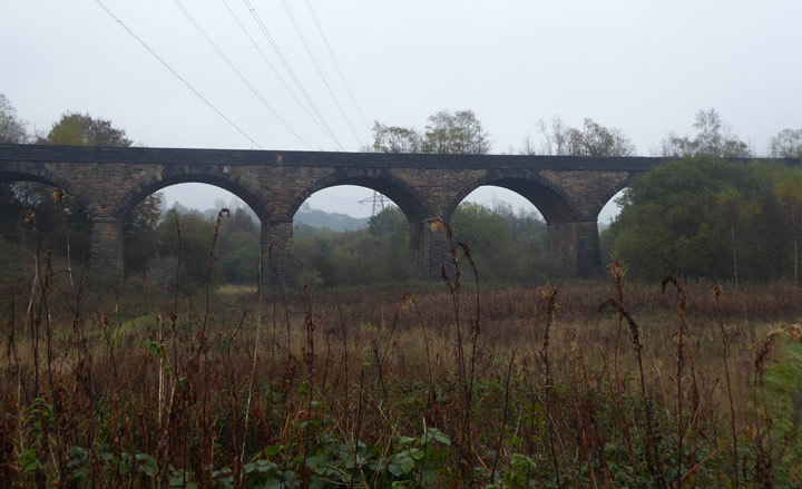
13 Arches
There are public paths on both sides of the viaduct and rough land all the way underneath the arches. Today, on our walk, it was not possible to get a photograph with most of the arches in view. We climb up the embankment on the north side and find that it is possible to get on to the old trackbed on the viaduct without damaging any fences or climbing over any obstacles.
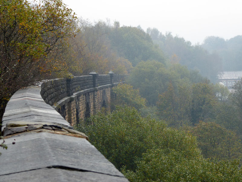
On the Viaduct
Obviously the structure is not maintained and visitors gain access entirely at their own risk. Many birch trees have gained a roothold and roots will open up gaps in the masonry; water and maybe ice will weaken the structure.
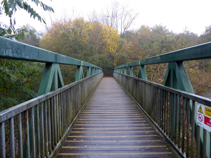
M60 Footbridge
Luckily when the motorway was built, a footbridge was provided in place of the disused railway line. A long-since closed station was completely demolished during motorway construction works. Nothing remains of Molyneux Brow Railway Station.

The M60 Motorway
Ordinary people will have watched boats on the canals and imagined they were here to stay; later generations enjoyed the thrill of railway travel and during "say" the 1920's could not have imagined that most of UK's railway lines would disappear before the end of the century. We now look at and drive on motorways and can't imagine them not being here and used as you see above.......
The Disused Trackbed
Here, Molly walks on the disused trackbed of the Manchester, Bury & Rossendale Railway. It is now part of a national cycleway and is a public bridleway. The above photo was taken on my first visit, a brighter day than the main visit of 5th November.
 |
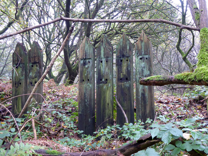 |
Modern Art? |
Old Sleepers |
Peter and Molly examine an iron structure which cannot easily be related to the former railway. What is it? The sleepers, however, might well date back to active railway times and will have helped to make a fence.
Radcliffe Rotary Way
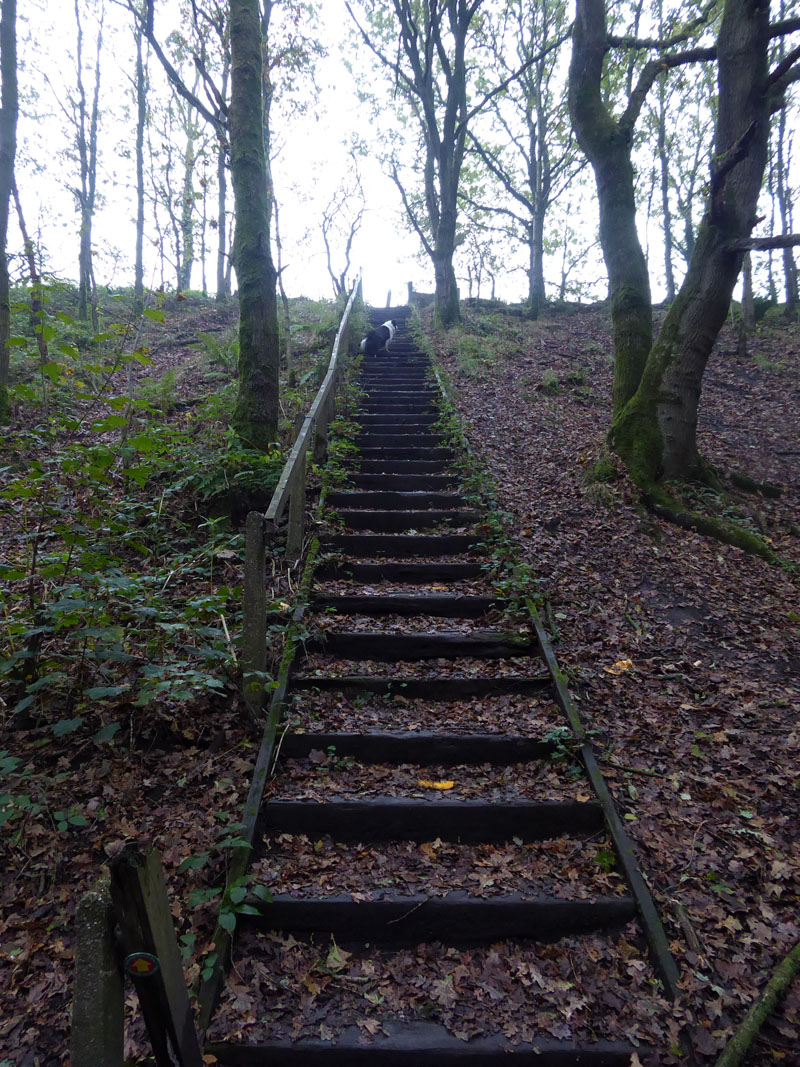
Our route leaves the trackbed up a steep set of steps and at the top is a sign denoting the Radcliffe Rotary Way - an 18 mile walk devised by Rotarians and intended to show the residents of nearby Radcliffe many of the footpaths and sights which might ordanarily be missed.
Ringley Wood
We walked past Higher Heaps Farm and the followed a footpath down through Ringley Wood until we find the next part of the route heading behind a mill and into the small settlement of Ringley.
To Ringley
I never gave it any thought at the time of either walk along here, but I now think that this is part of the route of the aforementioned abandoned Manchester, Bury and Bolton Canal.
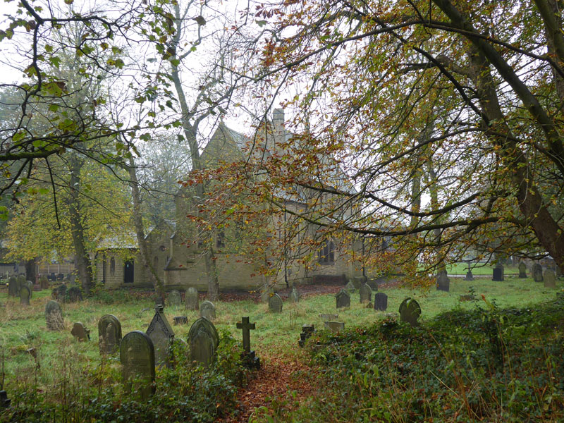
Church of St.Saviour, Ringley
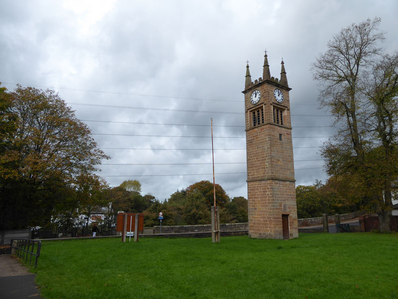
Clock (church) Tower of Earlier Chapel
In front of a large grass field/lawn in front of the existing church is this proud tower from a chapel built in 1850, but replaced with the current one, which is said to be on the site of an even earlier chapel. There is a pub in Ringley...
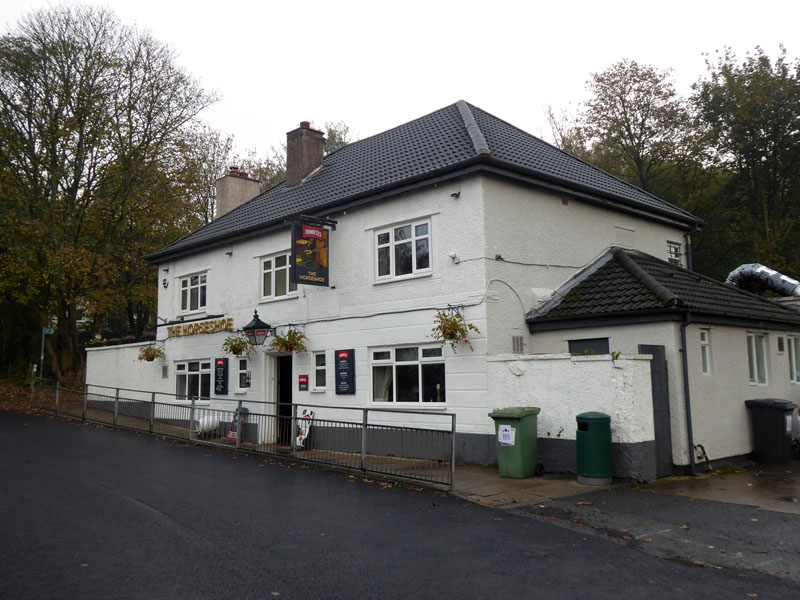
The Horseshoe, Ringley
Generous opening hours, but closed on Mondays. Dogs are allowed in the snug / the bar which are relatively small parts of the pub.
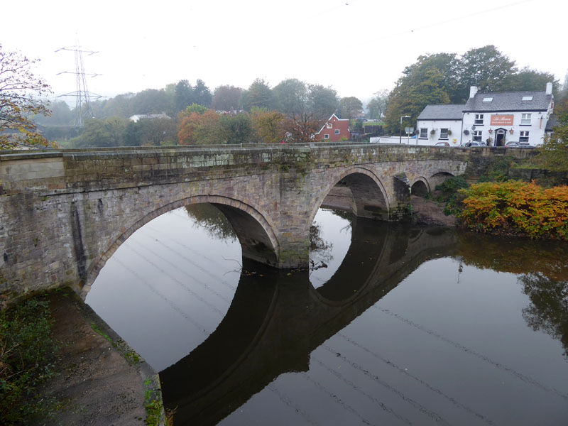
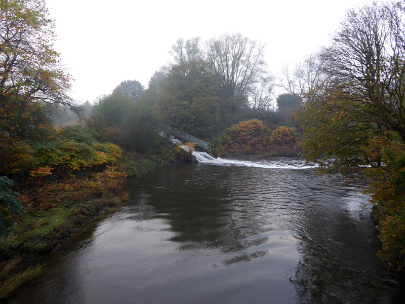
Ringley Bridge
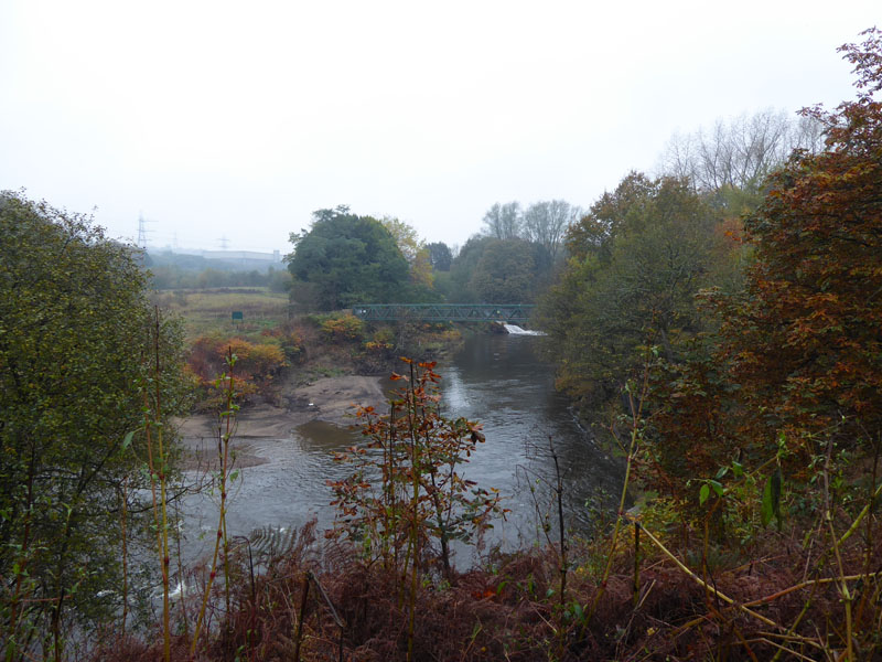
This bridge was built in 1677, replacing an ealier wooden one which was washed away in flood. The old Lord Nelson pub is now an Italian Restuarant. We found a route down the road, past the school and off to the right it took us to the weir which originally built by James Brindley c.1750 for his clever plan re. Wet Earth Colliery. What we see now is a more modern concrete construction for the benefit of Clifton Power Station.
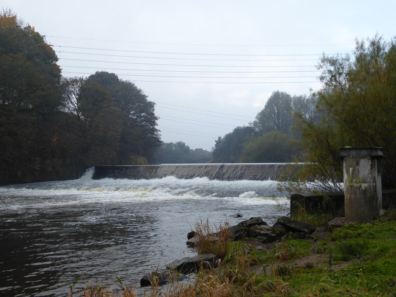
Ringley Weir
The power station, out of shot to the left, is still operational and was surely coal-powered back in the day and indeed research suggests it was built primarily to supply power to early electric traction on the railway.
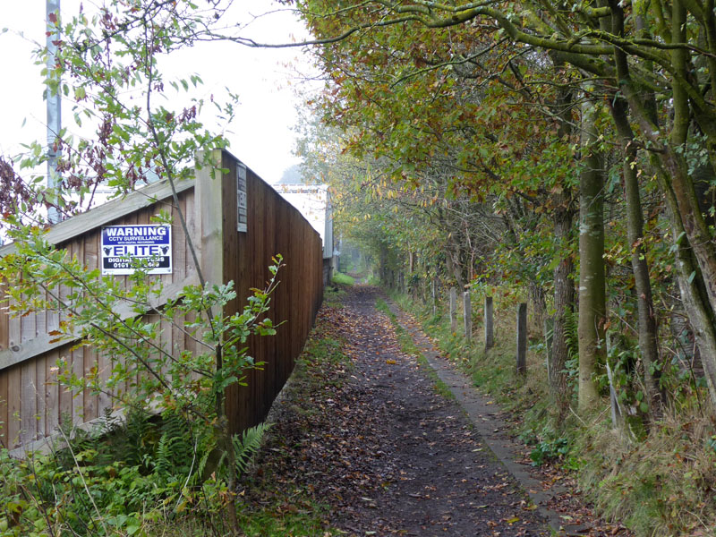
To Clifton Marina
This well-worn path is not shown on the OS Map. I'm glad we found it as it offers a pleasant rural way back to Clifton Marina. Behind the fences, close to the river are numerous Giant Hogweed in autumnal decline; these triffidesque weeds are to be avioded at all costs.
 |
 |
Footbridge over River Irwell |
Sewage Works Outflow |
The steel bridge offers a way back into Clifton Country Park and whilst crossing we got a view of the water flow leaving the local sewage works. At no time on either walk did I let Molly into the Irwell, I've seen this river flowing through Rossendale and I've never thought it to be clean enough for dogs, never mind us humans. This is of course very sad, too much roadwater wash off and dirty stuff from fields and sewage plants gets into our rivers, not too mention huge amounts of litter.
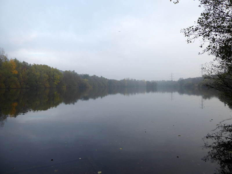
Clifton Marina
Molly did swim in here and we saw anglers and other dogs etc. enjoying the water.
We made our way back to the car at the visitor centre. How rewarding to find such a wealth of interest from start to finish; much as I enjoy the fresh air and exercise on country walks, the freedoms of today have come at a high cost to previous generations and I'm keen to learn more about our industrial and social history. We'll be back....
Walkers: Peter R., Molly and Me.
Time taken: 4hrs 30mins over a distance of about 6.5 miles, including a leisurely lunch in The Horseshoe.
Refreshment Review: We arrived at The Horsehoe and were offered seating in The Snug. A good menu and prompt service. Good food and reasonable prices. Dogs welcome as long as there aren't too many of them at one time.
Seen on the wall and attributed to Einstein: A Clever Person Solves a Problem; A Wise Person Avoids It
Route: A clockwise circuit of Clifton Marina, exploration of the remains of Wet Earth Colliery, Fletcher's Canal route under the M60 to the canal aqueduct. Over the Irwell to Clifton Viaduct (13 Arches). Back over the M60 and along the old railway track to Heaps Farm(s) and up the steep path to find Ringley Wood. Following Rotary Way to Ringley and then after lunch, down to Ringley Weir and along the river to the footbridge crossing and back via the path up by Clifton House Farm to the visitor centre.
Weather and conditions: Dull and cool with occasional light rain.
Further Viewing: Go on YouTube: search for Martin Zero and look on his Playlists for Wet Earth Colliery Parts 1 to 4 - you will not be disappointed - Crack On!!
Pendle Rainbow 2nd November 2021
All photos copyright Richard Ratcliffe 2021 ©
Take me back to the start ....