
~Accrington to Cliviger~
30th April 2022
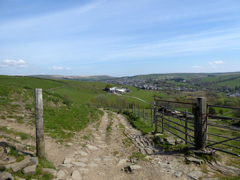
Pennine View
 |
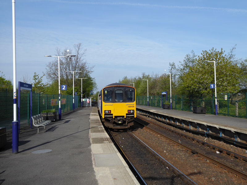 |
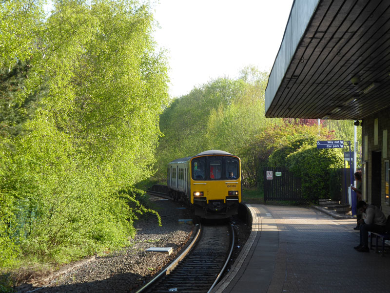
Rail Action
Today, I wanted a "local" walk but something more than the everyday walks from home. I parked in Burnley and caught the 0830 (ish) from Burnley Central to Accrington. £4.90 return and I bought a return ticket just in case my Plan A didn't materialise. I am old enough to remember a time when Burnley Central had two running lines and many sidings plus a signal box. Now it doesn't even have a full-time ticket office and waiting room. But the trees look nice. Accrington is about 15 minutes away by rail. I suppose the drivers are used to folk taking photos of trains, it's been happening for decades.
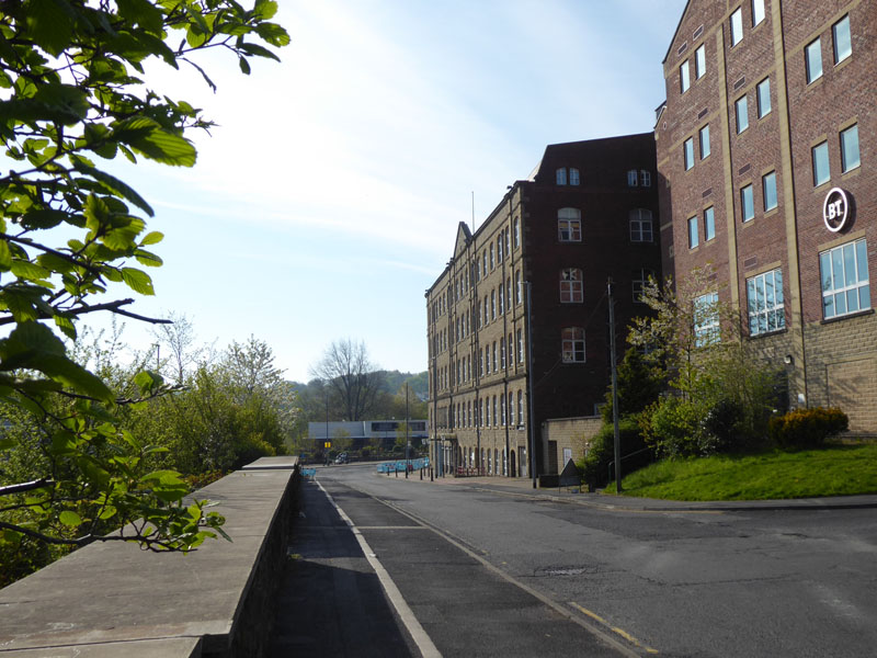
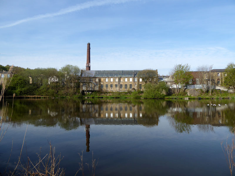
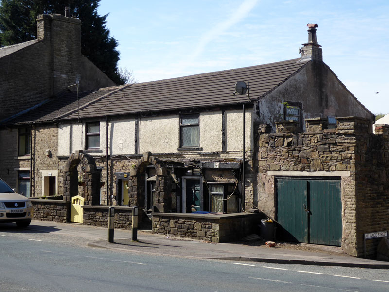
The Globe Centre in Accrington
The Globe Centre is a business hub and is all that remains of the former Howard & Bullough mill premises.
 |
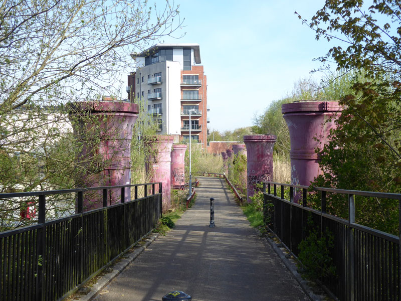 |
There is now a "Greenway" on the disused railway route from Accrington to Baxenden. This line was closed in 1966 and it linked Bury with Accrington. The metal structures are presumably bridge supports for the "old" line. What appears to be a mill lodge is home to water fowl, but more research is needed to determine the origination of the waterscape.
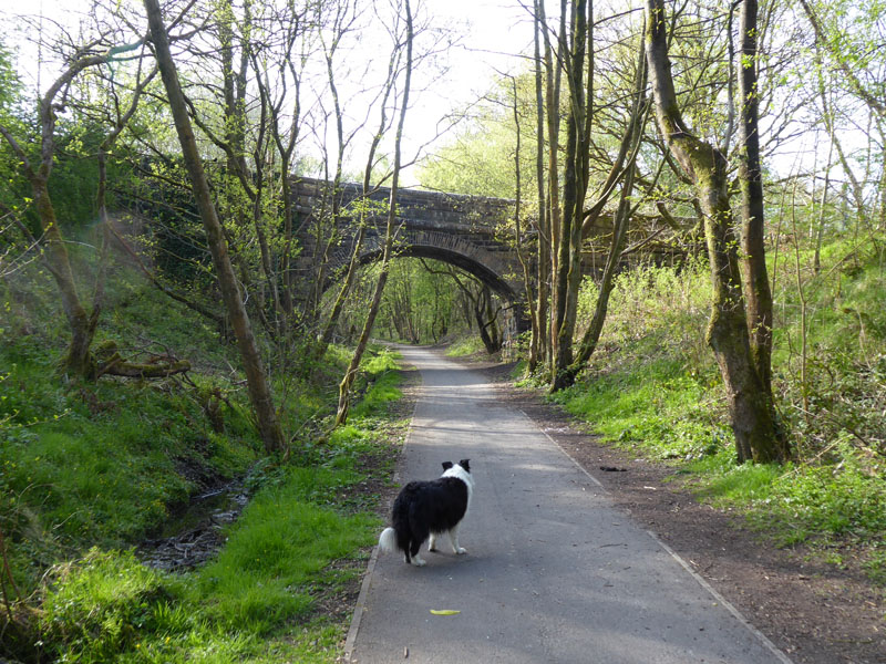
The Disused Railway Route
One of two remaining railway bridges on this route. The "old" Baxenden Station is beyond where we will leave this track and little remains of it, a bit of platform in Hollands Pies yard.
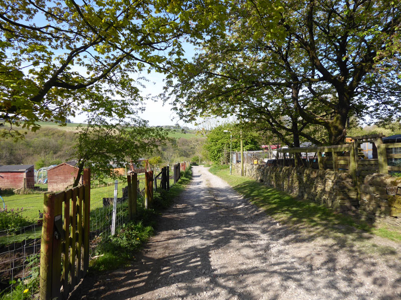
Baxenden Allotments
We left the railway route in favour of finding a refreshment opportunity in Baxenden. I found a butty shop, bought a brew and a bacon sandwich and enjoyed both from the comfort of a bench in the church gorunds.
Baxenden Houses
These two houses on the A680 in Baxenden have unusual features; stone arches over the gates. Just here we have crossed the road to take a footpath up the hill to look for a route up to Pewit Hall. This was the first of many times today when the information on my OS Map App did not match the evidence on the ground and my first choice route was not possible due to the absence of the footpath.
Baxenden Back Road
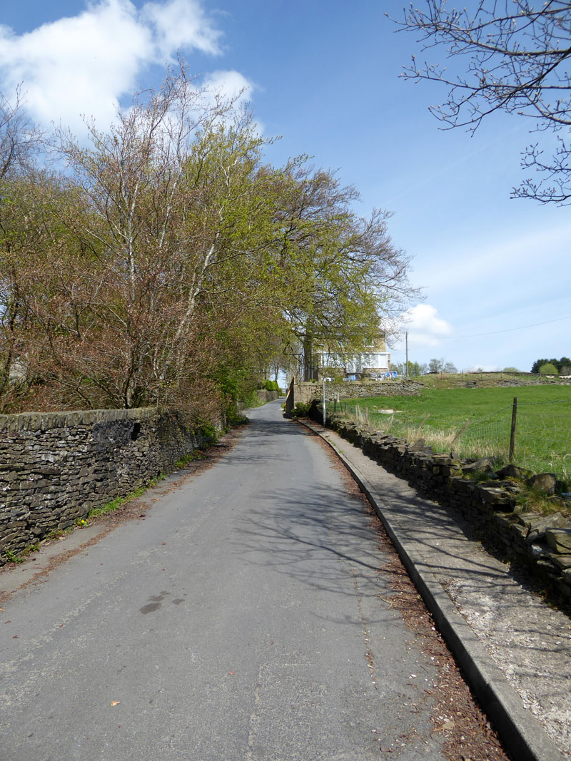
This adopted and tarmaced road runs parallel to the A680 on the north-east side. It's a quiet alternative to walking along the main road.
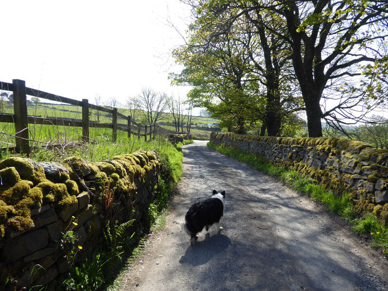
Rising Bridge
Here, Molly approaches Rising Bridge, the home of a McDonalds and a service station for motorists who use the A56. The dual carriageway A56 runs towards Manchester along the old trackbed of the railway line. We will find a different road to pass under the A56 and head for Cribden Moor.
Looking Back
Down the road which we followed under the A56. We are now on the access road to Needless Farm.
Needless Farm
Here, again, footpath indicators were in short supply. We had to walk through the farmyard and endure plenty of aggressive barking from the farm dogs. I use the OS App and it clearly shows a footpath through the farm and up on to the moor. So we walked up on the footpath route and eventually saw an indicator for the Rossendale Round The Hills Walk. Higher up the moor, we found a herd of cows but found a way around them. A little further along we find a track with plenty of water running down.
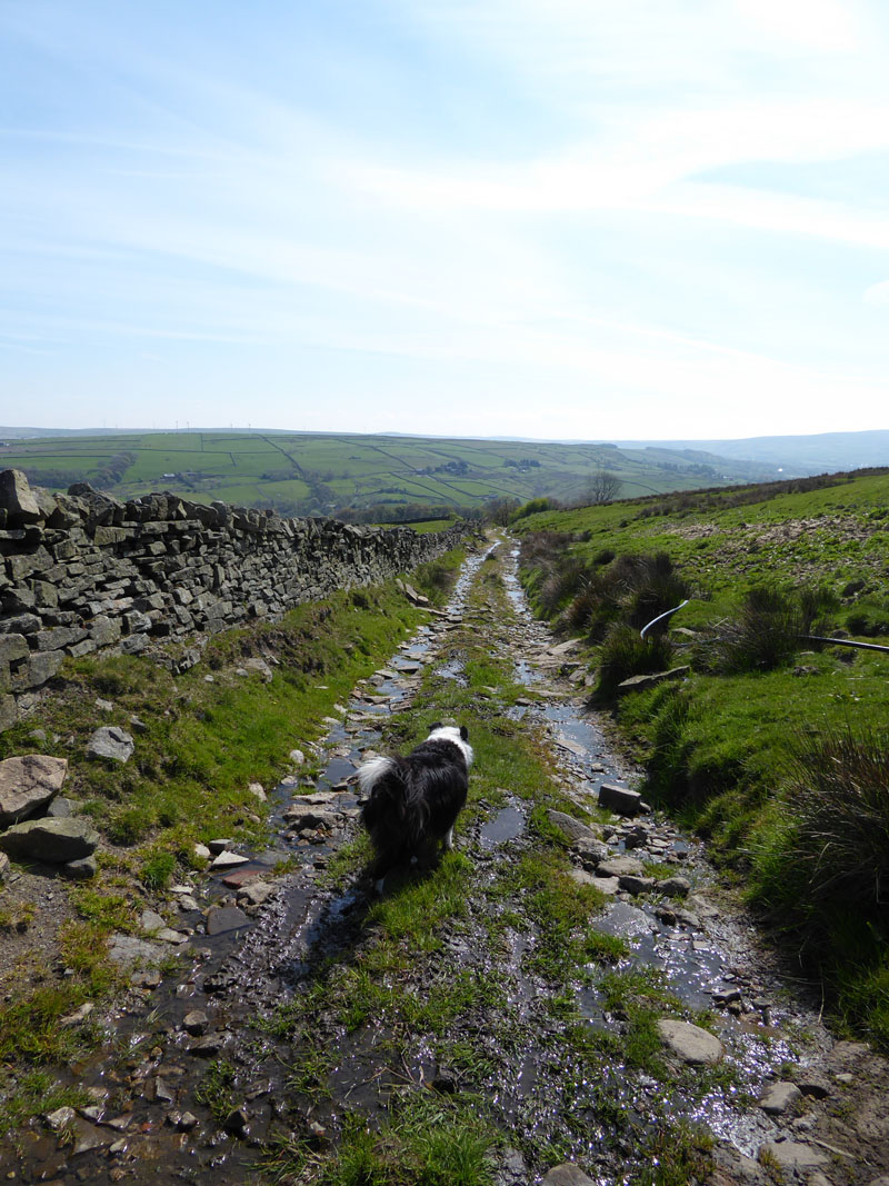
Wet Track
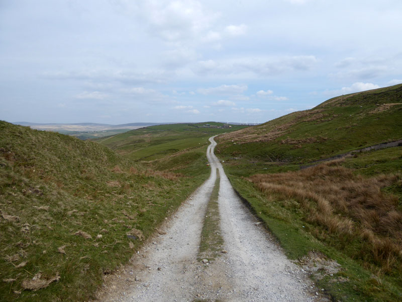
The map shows a "spring" up here and this could be the source of the water, but somehow it didn't seem a natural watercourse and I was wondering if water is pumped up for sheep water-troughs and then allowed to flow back down?
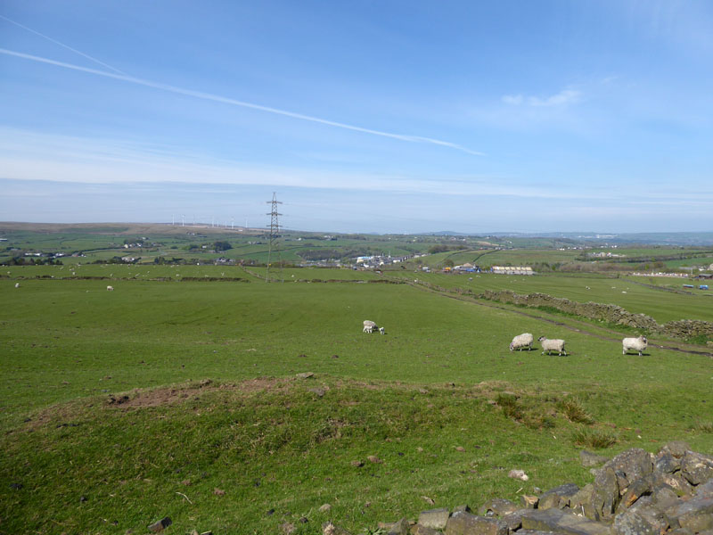
Hameldon Hill
The hill in the distance is Hameldon Hill and the populated area is Goodshaw - we'll be walking through there soon...
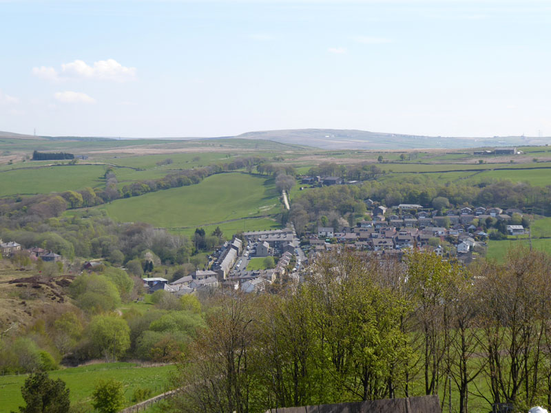
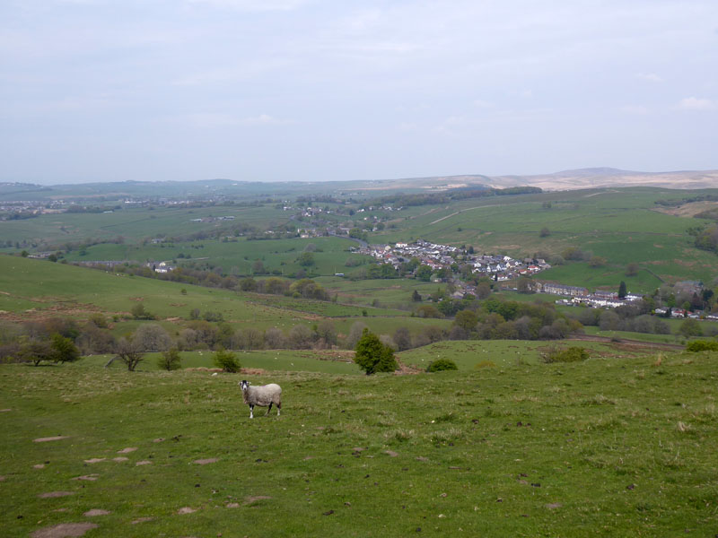
Crawshawbooth
We are walking down to Crawshawbooth and faraway in the distance you might be able to see a white building. This building is on Deerplay Moor and my plan is to walk over Deerplay Moor and down into Cliviger - it seems an awfully long way away!
 |
 |
Pinner Lane |
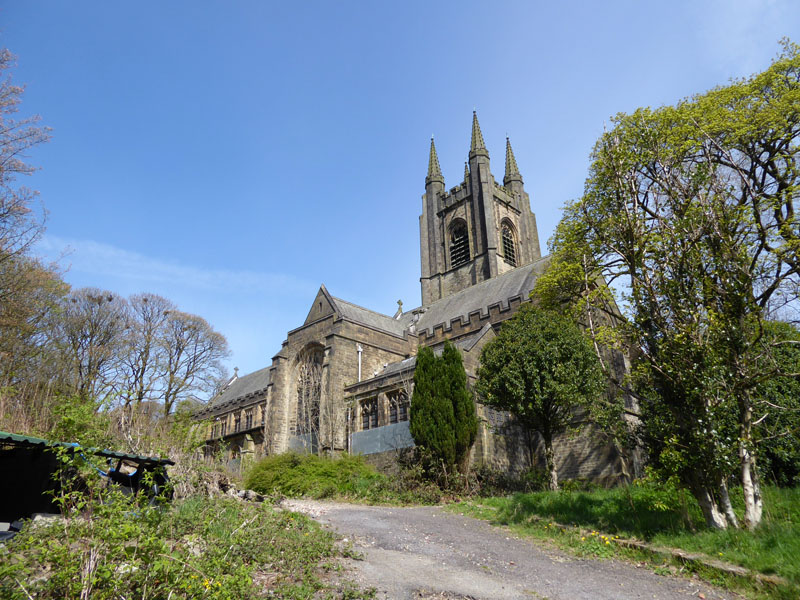
St.John the Evangelist's Church |
When I got to the bottom of Pinner Lane, I discovered that the lane is closed for safety reasons. The church is redundant and in a poor state after much of the lead from the roofing has been stolen.
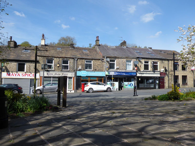
Julie's Sandwich Shop
Lunch was taken in Crawshawbooth with a butty and brew from Julie's; it's the one behind the postbox.
Goodshaw Lane
Out of Crawshawbooth and up Goodshaw Lane for a look at Goodshaw Chapel.
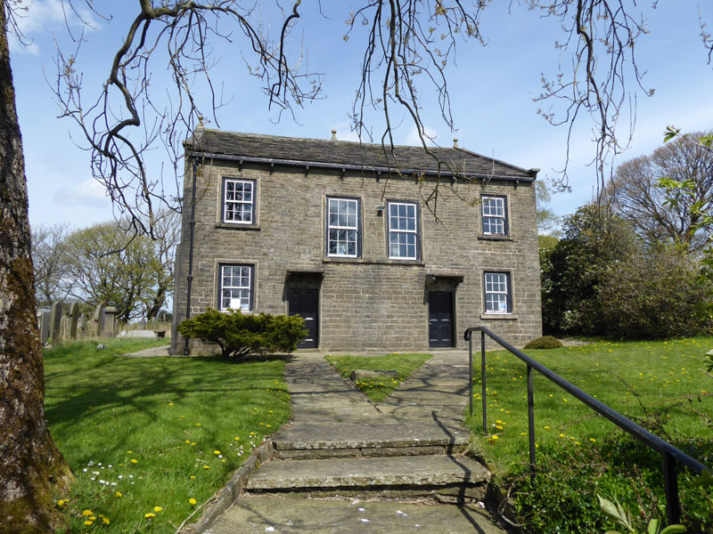
Goodshaw Chapel
The original chapel was built in 1760 and replaced by a more modern chapel about 100 years later. It is now preserved and visitors can apparently book an appointment to see inside. No phone numbers are presently on show outside the gates.
~~~
Just beyond the chapel grounds and on a footpath, I yet again fund my way barred by closed and secure gates. This will be the fourth time today I've had problems with access on the walk. Luckily I was able to attract the owner of a farm building under repair. He explained that he had a dog running loose and didn't want walkers to be frightened by his dog. Anyway, we had a civil conversation about all manner of things and he let us through, his dog being inside at this time. We soon find the well-worn tracks of "Rossendale Way".
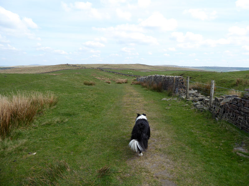
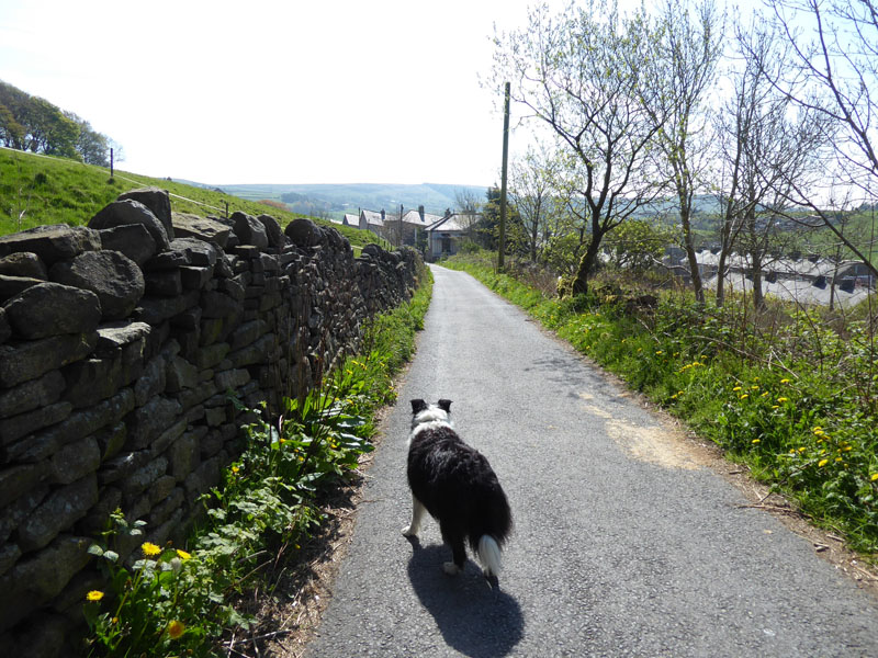
Rossendale Way
This is some of our favourite type of walking....open moorland, dry and safe in all respects.
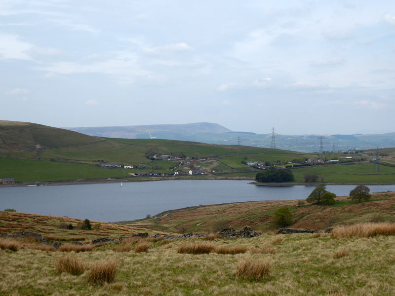
Clowbridge Reservoir
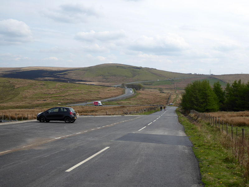
Crown Point Road
Upon reaching Crown Point Road and viewing the charred moorland on Deerplay Moor, I decided that it was time to head downhill and not complete the walk over to Thieveley Pike etc.
 |
 |
Pennine Bridleway |
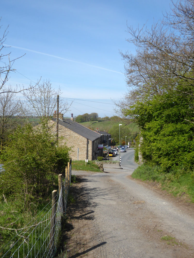
Cliviger |
Upon joining the A671 from Crown Point Road, we find the route of the Pennine Bridleway which leads us downhill towards the hamlets that make up Cliviger.
Honey Holme Lane
Looking back, I took a deep breath, put Molly on short lead and walked down the track with somewhat placid cows on both sides of the roadway. One cow looked at us and I stayed calm, we survived the danger...was there ever any danger?
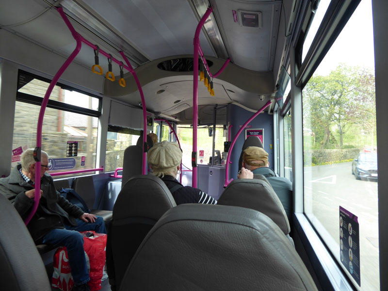
Halifax to Burnley Bus
The bus took us back to Burnley from Cliviger. £2.90, dogs not charged. I suspect most of the other passengers didn't need to pay.
Walkers: Molly and Me.
Time taken: 6hrs 15mins over a distance of about 12 miles.
Route: As described, rather hard work if truth be known. Too much farmland, perhaps.
Weather and conditions: Warm and sunny, becomming overcast later on.
All photos copyright Richard Ratcliffe 2022 ©
Take me back to the start ....