
~Arnison Crag~
9th August 2022
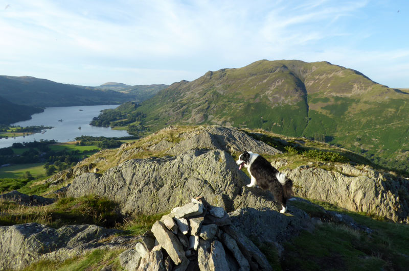
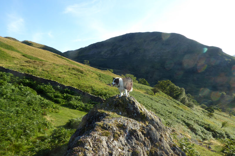
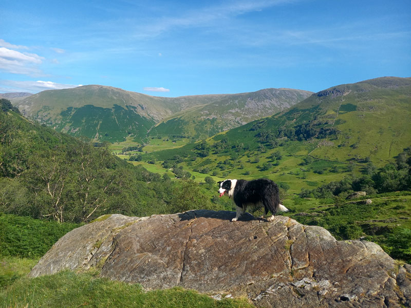
Molly on top of Arnison Crag
 |
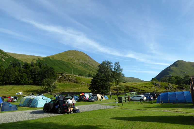 |
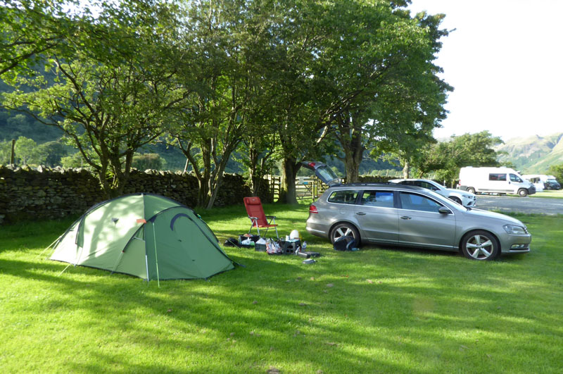
It's August and very warm. Work has dried up, just like many of our southern counties and it seemed like a good idea to head to The Lakes for a spot of fellwalking and water fun. Sykeside was my 2nd choice as Gillside in Glenridding said they were booked up; it is a fine campsite with a shop and pub handily placed. I found a spot under a tree with shade from the afternoon sun.
Ascent Route
In the early evening, I took the car round to Patterdale and parked in the little lay-by in front of the pub car park. Usually room for four cars and generally lucky if there aren't already four parked up. I noted that the post office / convenience store in Patterdale has permanently closed. The pub has many tables and waterproof covers in their car park, maybe a Covid-19 measure. It is very warm!
Halfway Up
Molly thinks she has reached the top, but this is only halfway, or so. Birks is the fell behind Molly.
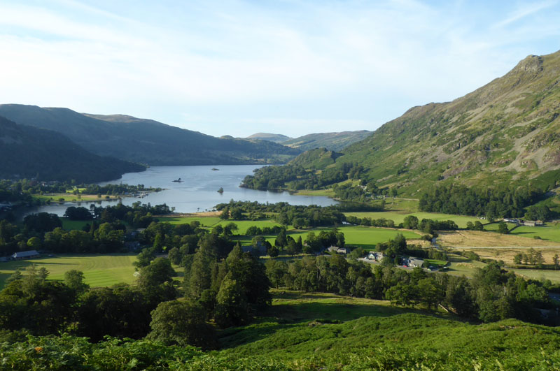
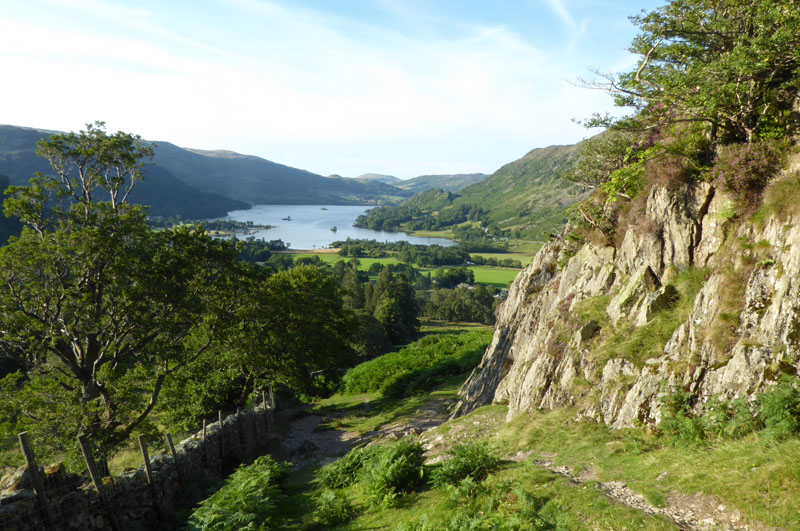
Ullswater
Arnison Crag Summit 1,424ft asl
This is a new one for Molly and we have approached by the only viable route from Patterdale and I'm not aware of an alternative way down to the valley, much of the eastern flag being the crag which the fell is named after and any gaps only leading to private farmland.
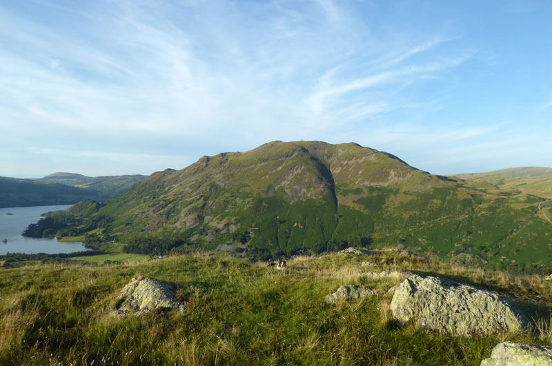
Place Fell
Wainwright followers will know Arnison Crag is the first chapter in Book One. It is the least elevated of all the summits in "The Eastern Fells" and only earns four pages in the book. There is possibly one error: there are two mentions of "Glemara Park" whereas the OS Maps know the area as "Glenamara Park" who's right? AW dedicates Book One to "The Men of The Ordnance Survey".
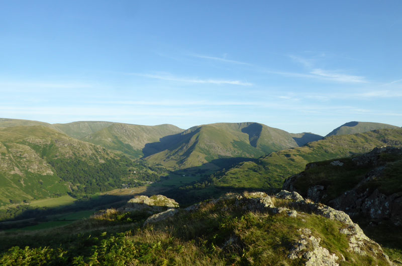
Hartsop Dodd
The evening light over the steep slopes of Hartsop Dodd and neighbours is always an attractive sight. This was the end of proceedings for today and the short drive back to the campsite led to kettle activity and a few small biscuits.
Walkers: Me n' Molly
Time taken: 1hr 20mins over a there-and-back distance of about 1.75 miles; 874ft of ascent.
Route: Patterdale parking; there is a way behind the hotel on public footpaths until you reach a sign for Glenamara Park, turn left and head up the hill past Oxford Crag. Keep going on the well worn path up to the summit - few ascents in Lakeland are as simple as this one.
Weather and Conditions: Sunny and very warm.
Earlier in the day, we had a walk up Dovedale.....
 |
 |
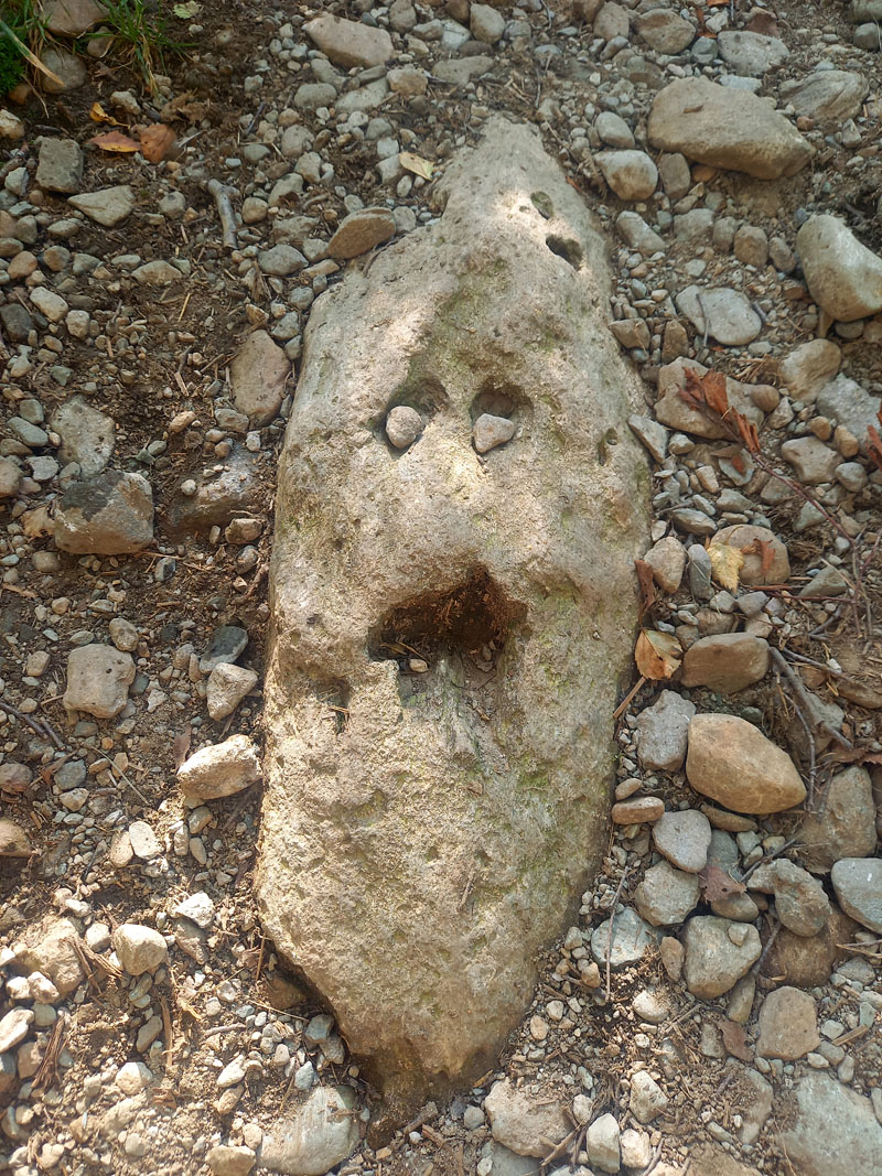
Sad-Faced Rock |
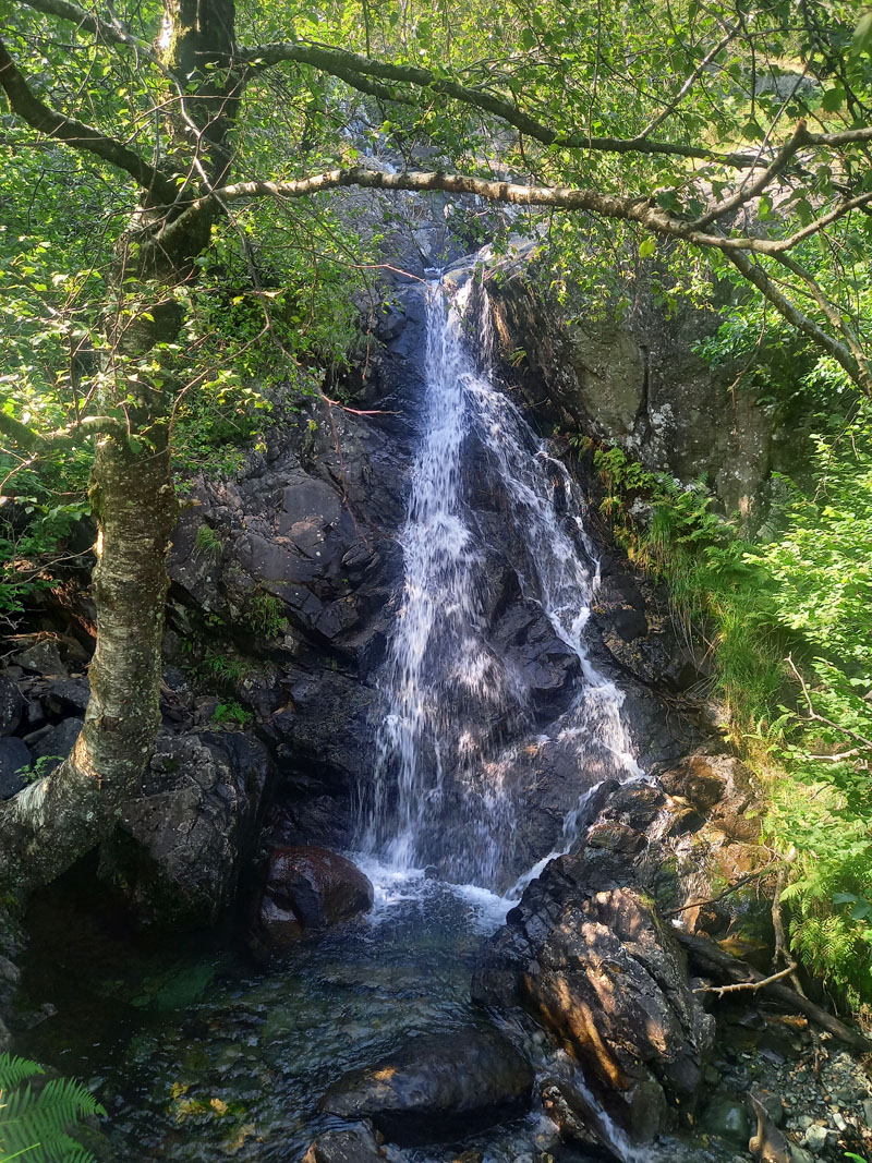
Dovedale Waterfall |
The walk into Dovedale and up to the second footbridge is fantastic on a fine day. You can return on the old miners' track through the woods if you like.
Molly ~ Dovedale
All photos copyright Richard Ratcliffe 2022 ©
Take me back to the start ....