
~Sallows & Sour Howes~
11th February 2022
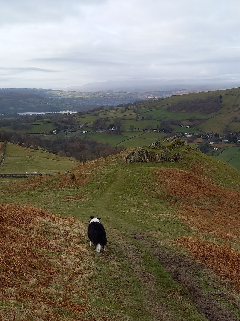
Molly on top of Sour Howes
 |
 |
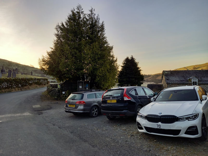
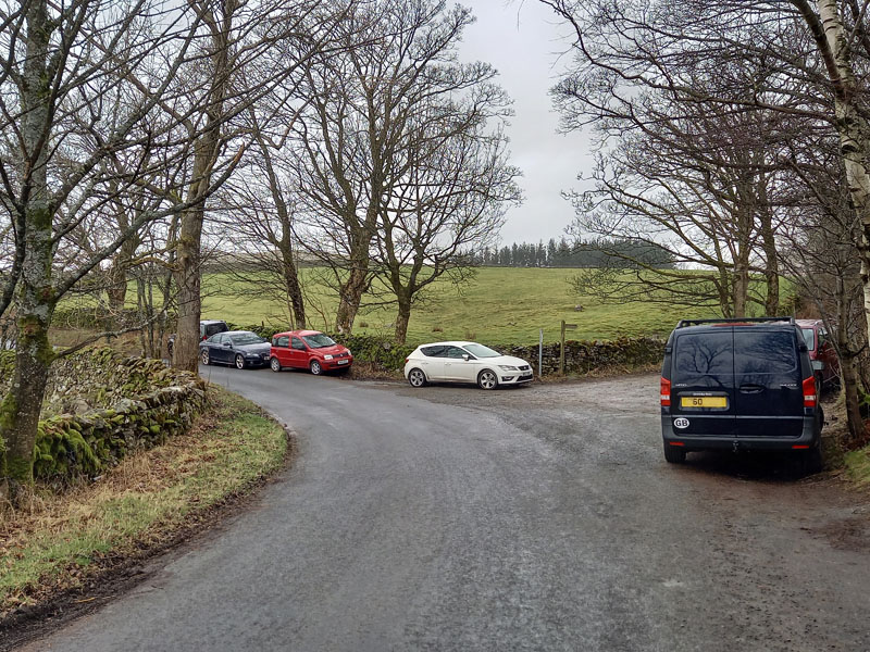
Kentmere Parking
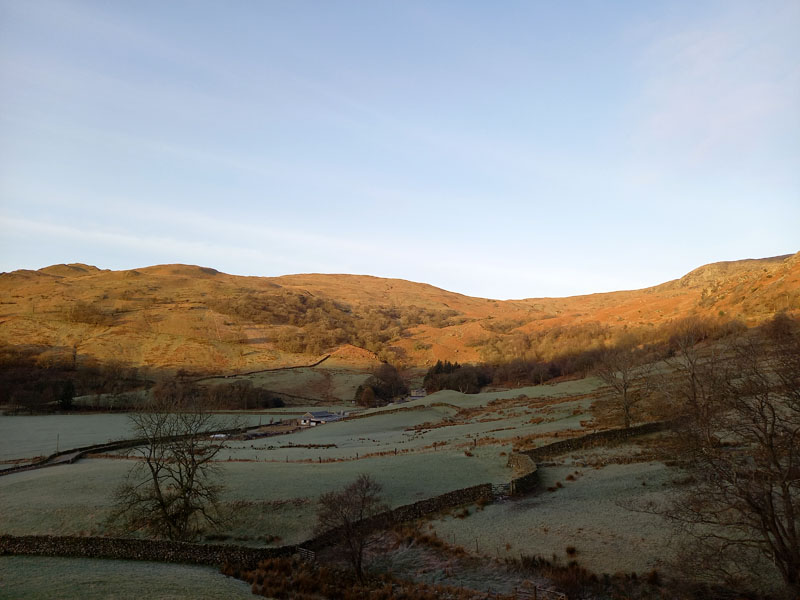
It's another Friday that promises to be a better day than the following Saturday. Much better in this case with wind and rain forecast for the whole of the weekend. Parking in Kentmere is strictly limited; about six cars can park as seen and four more along the side of the church hall to the right. There is an appeal for £3 per car and an honesty box is provided. There are no facilities here, we were in car 4 at 0800hrs and car 5 soon arrived. I spent most of the journey knowing I had forgotten my camera, so the majority of these photos were taken with my mobile phone and a few are lifted from my brother's camera.
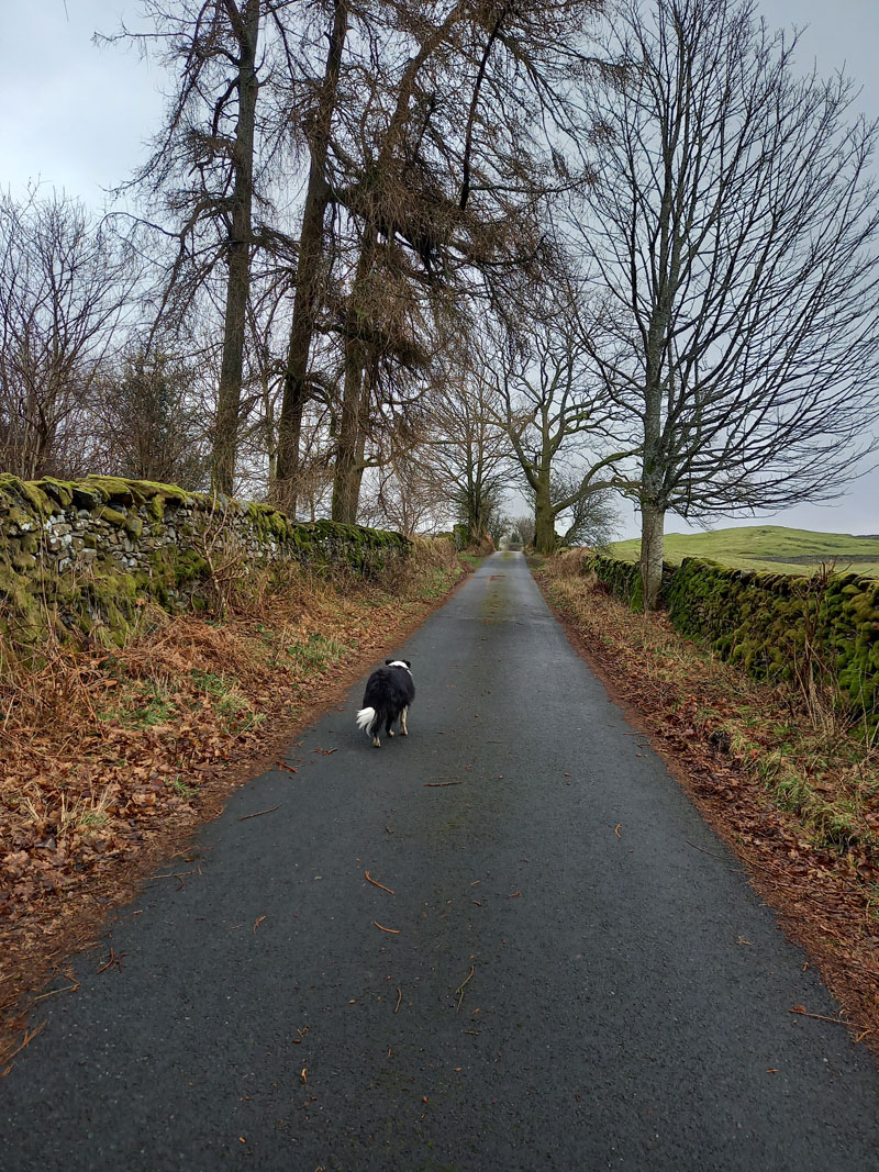
Garburn Pass
For our walk to the summit of Sallows, we leave Kentmere hamlet and head up the road to The Nook and then head west onto Garburn Pass. We were aware this could be a relatively short walk, but starting later was not really an option as we like to beat the commuter traffic on these excursions and reaching Kentmere to find all parking spaces taken would not be ideal. The plan is to consider the options when we reach Sour Howes summit.
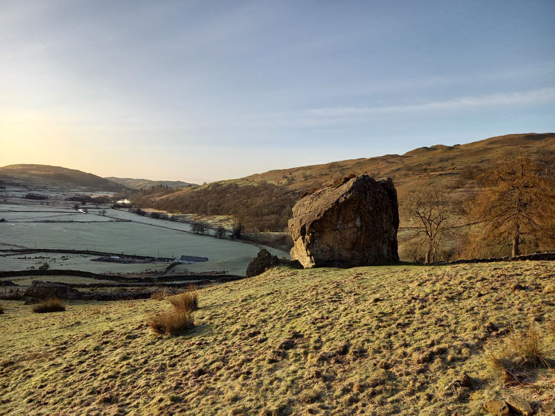
Badger Rock
Permission is granted for rockclimbers to test their skills on this boulder. Bring your own mattress.
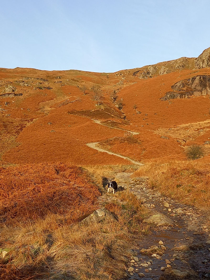
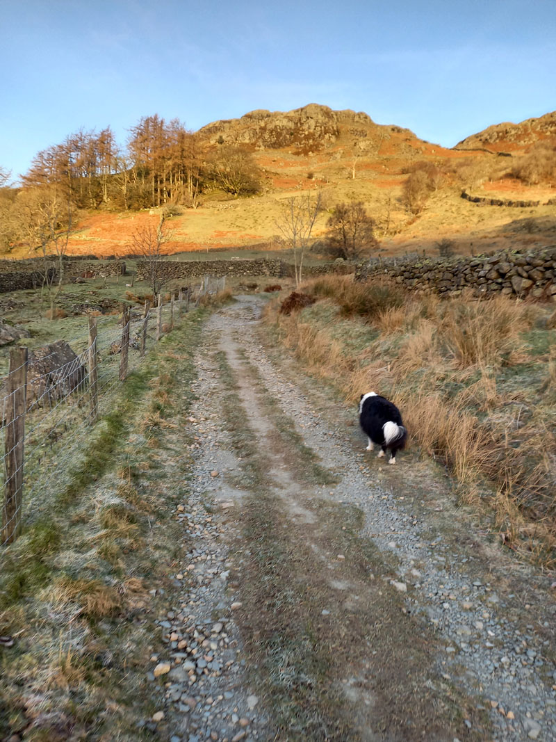
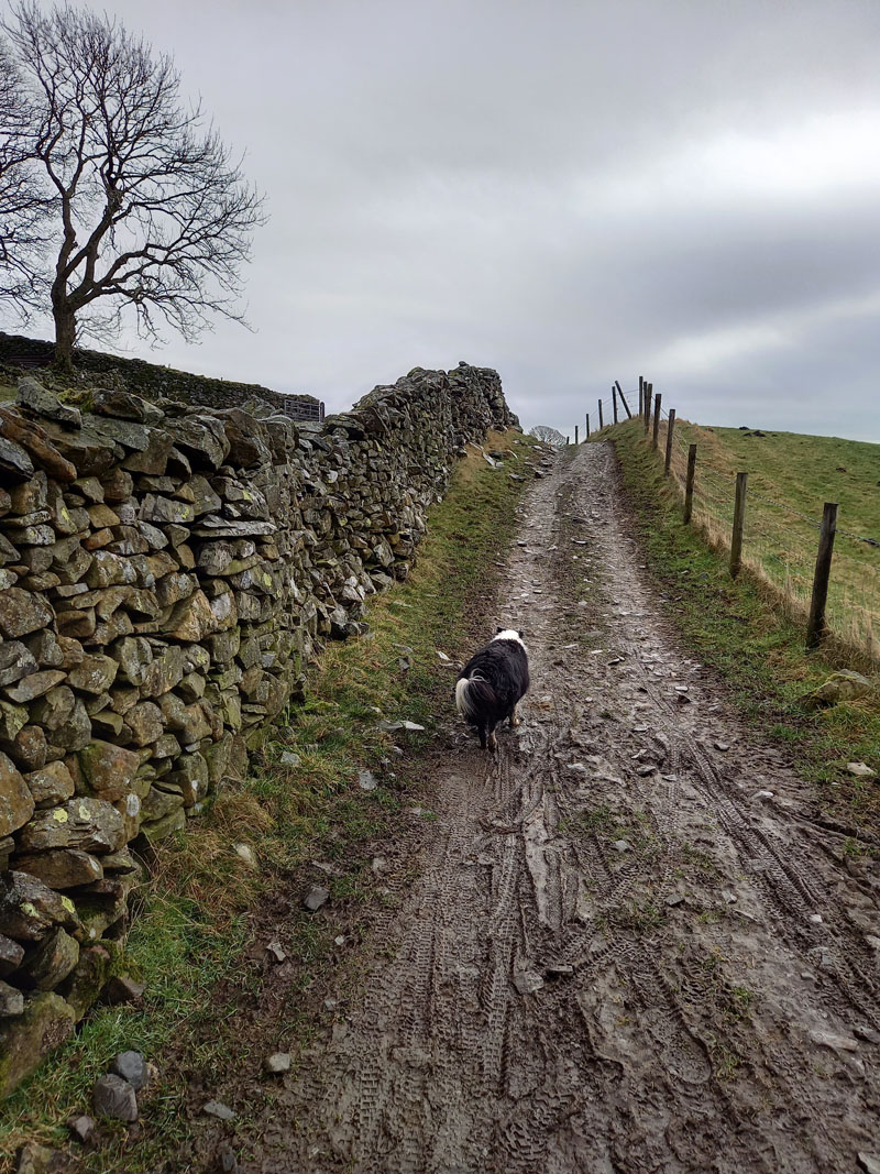
Garburn Pass
I'm sure the zig-zags are what you might call "natural" as oppose to the ones you'll find on Sail in the North-Western Fells. Drovers, pack-horse convoys etc. would have needed to lessen the gradient on their journey to-and-from Troutbeck. They were not designed for the convenience of hikers. Sunshine has been in short supply so far this year.
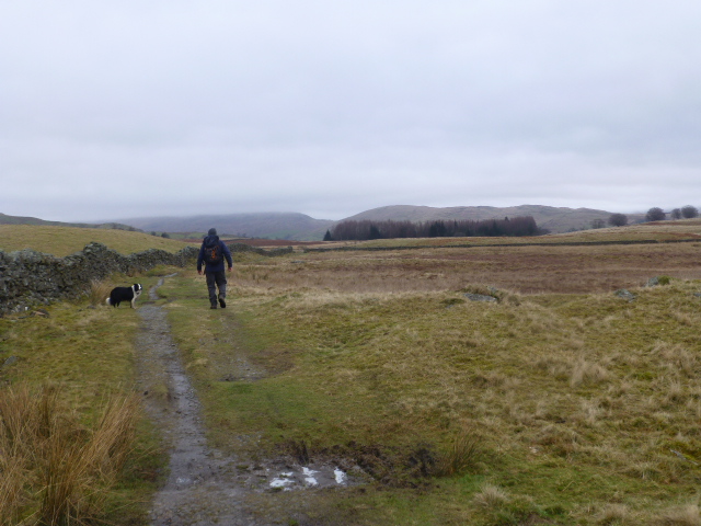
Just prior to the highest point of Garburn Pass, seen on the OS maps as 447m- an orange dot indicates an aerial survey result, a gate allows access to the fell and a clear path (not shown on the OS map) lies ahead. We are not far from the summit of Sallows.
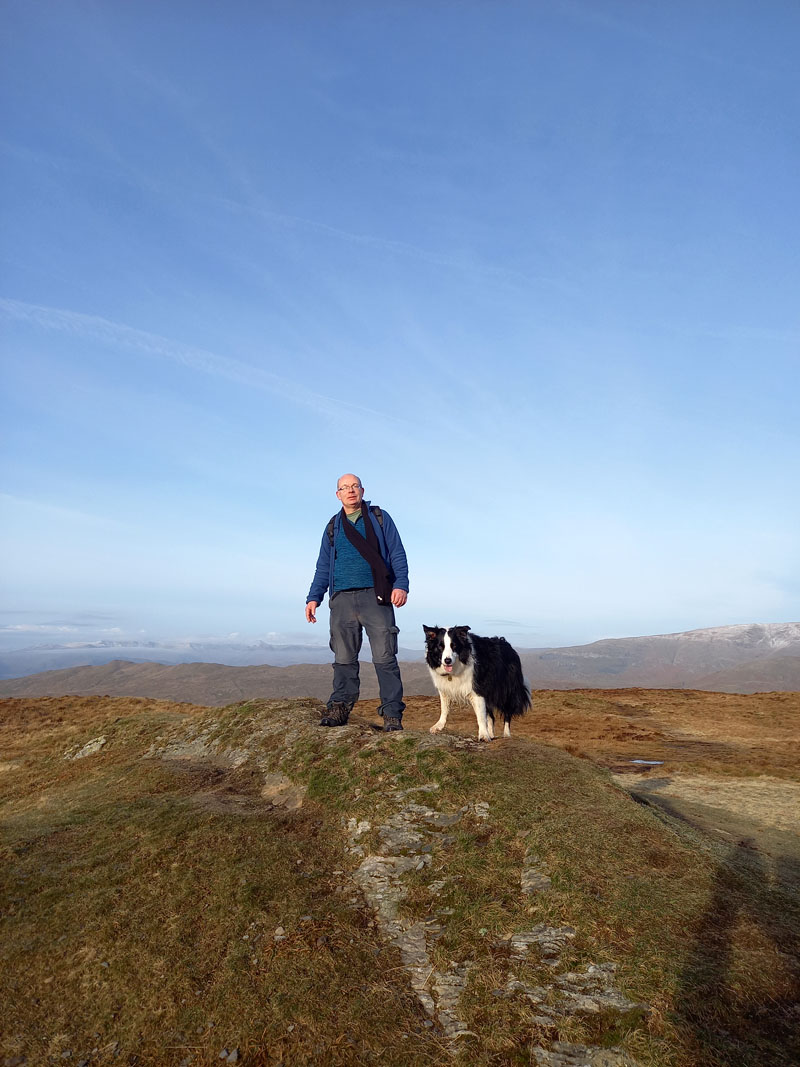
Molly and Peter on top of Sallows 1,691ft asl
We left the car at 0815 hrs and now it is 0922 hrs. Wainwright affords Sallows just four pages in his guidebook; it won't be long before we reach another four-pager; these are not headliners in terms of Lakeland Fells. Curiously, no "Ridge Route" is offered from either of these two fells to the other and there is an easy and obvious route between the two.
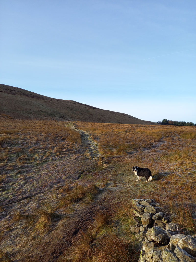
Moor Head
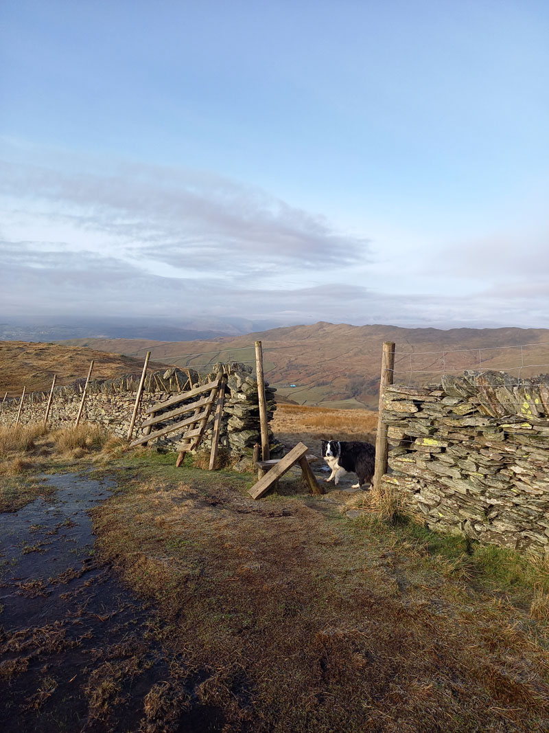
Maps don't show gates, but navigation is remarkably simple up here (weather permitting) and we follow a well-worn path to this gateway; Molly is disappointed with the ease at which we transit from one territory to the next. The path veers south to Sour Howes.
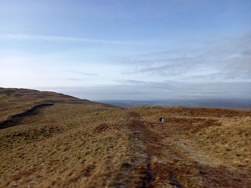
Easy walking to Sour Howes. It's my third time up here and on both previous occasions, extended walks were enjoyed - 10 miles and 14.5 miles; so what can we contrive to achieve today?
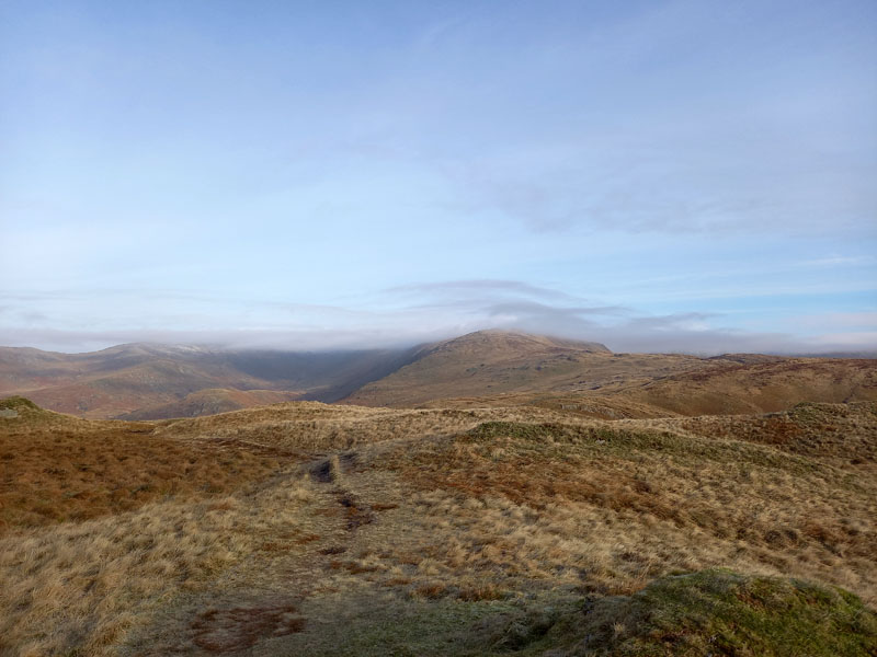
Yoke
We debated the possibility of heading back to the Pass and climbing Yoke and maybe even the Kentmere Horsehoe.
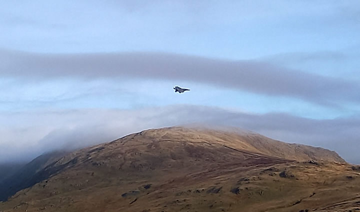
Jets!
Four jets came our way - F15's, I think. 1,2 & 3 zoomed over Garburn Pass and then No.4 came straight over Sour Howes and both Peter and I failed to get a photo of this 'plane as it banked and changed course to join the others. It was too close and too fast! We got a great view of the underside, armaments and stuff.
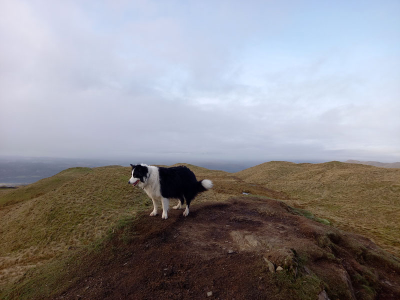
Molly on top of Sour Howes 1,568ft asl
The weather is changing and now at 10:00 hrs we have lost the sunshine. A man was on top when we arrived and he was a bit slow to move, so I had to ask him to stand aside so I could get the "Molly on top of..." photo. I feared he was about to sit down and take refreshments, in the event he wandered off to take his rest elsewhere.
To Garburn Road
We decided to head back down to Garburn Road (Track), formerly known as Garburn Pass. Windermere is just visible in the distance. The plan is to join Dubbs Road and reach Moorhowe Road for about half a mile of road walking until we find Borrans Lane.
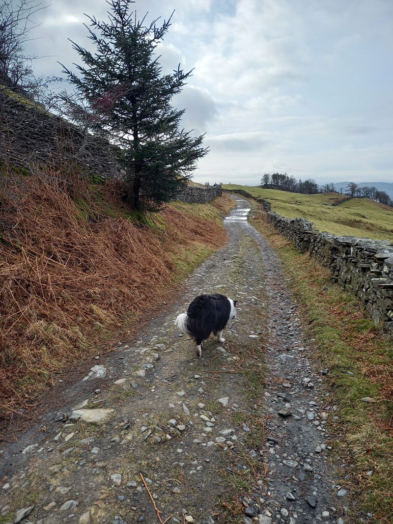
Dubbs Road
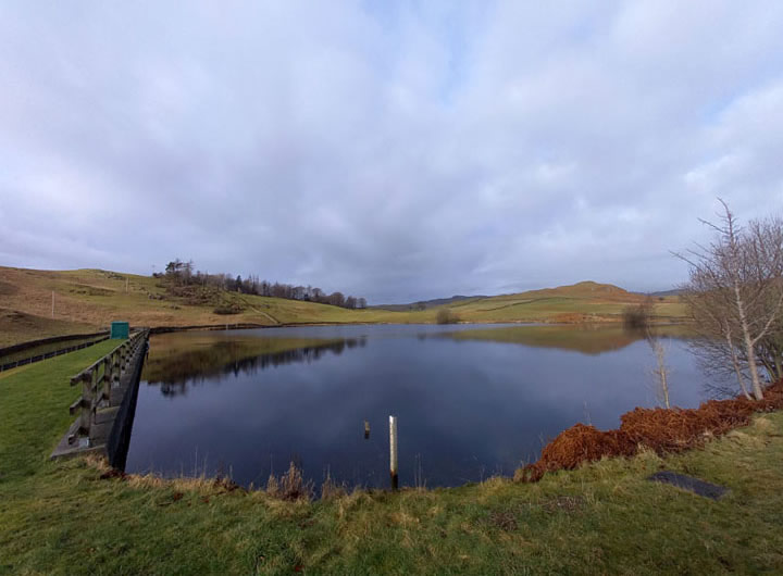
Dubbs Reservoir
Peace and quiet in abundance within the private enlcosure of Dubbs Reservoir. No access to the public, but mathmaticians lurk in the undergrowth...
~~~
Moor Howe
Parking on Moorhowe Road for a dozen or so vehicles. Picture the scene in 2030 or so, will there be charging points for our battery-powered cars? Or might the powers that be have changed the strategy by then?
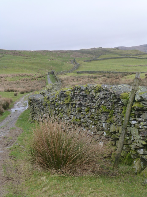
Borrans Lane
After the half-mile of dodging road vehicles on Moorhowe Road, we turn left (north) to head up Borrans Lane. At High Borrans there is an adventure centre in the buildings of an old shooting lodge. Once through the settlements of High Borrans, we begin to plot our route back to Kentmere.
Muddy Track
 |
 |
Me n' Molly |
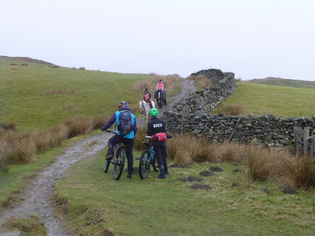
Riders |
As luck would have it, two cyclists and two horseriders enjoyed our simple courteousy as we held open the gate at NY4428 0275. It is hard to tell readers exactly where we were, just east of the annoted summit of Capple Howe. We enter farmland, but there were no sheep or cows on our continuing trek along the moorland tracks.
Whiteside End
Navigation is easy and the walking quite leisurely on the way around Whiteside End.
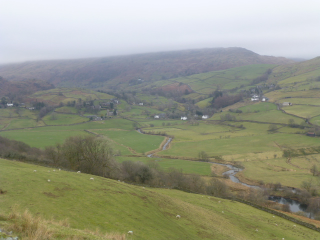
Kentmere
A fine view of the hamlet of Kentmere and the River Kent.
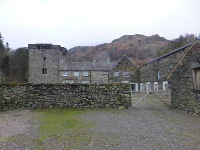
Kentmere Hall
I wonder if they have ever considered some reasonably-priced parking arrangements and a small refreshment facility?
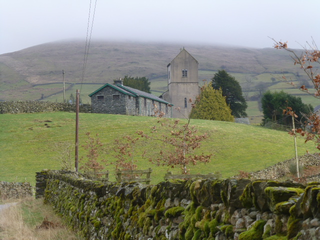
St.Cuthbert's, Kentmere
Nearly back at the car now. So that's the third time I've made it to the top of the twin peaks of Sallows and Sour Howes and on each occasion the walk has reached or exceeded 10 miles.
Walkers: Peter Ratcliffe, Molly and Me.
Time taken: 5hrs 30mins over a distance of about 10 miles.
Route: Kentmere Church, up the tarmac to Greenhead and then west onto Garburn Pass. Very much to the top of the Pass and leave the track at a gate and enter the open moorland of Sallows - a well worn hikers path leads a short distance to the top. This path is not marked on the OS map, but is shown on Wainwright's map. From Sallows, we took an obvious path to the wall at Moor Head and hence the easy path to Sour Howes. More obvious paths lead walkers back to the Dubbs Road / Garburn Pass track. And so to and beyond Dubbs Reservoir to Moor Howe. Half a mile on the tarmac leads to Borrans Lane which in turn leads to High Borrans. From here you need a map*, make your way to Mickle Moss and head north to the sheepfold and gate where you enter the farmland of Whiteside End and more track walking leads on to Kentmere Hall and back to the start. * You should always carry the relevant paper map and know how to use it!
Weather and conditions: Sunny start, soon hazing over and by the time we reached Moor Howe we had encountered one wintry shower. Generally dry and cloudy thereon.
Refreshments: On the way home, we called in at The Watermill in Ings on the A591. Dogs are very welcome here and all beers brewed on the premises have a canine title. Staff are very attentive and welcomming and the food was excellent; a roaring fire kept the place warm. You cannot book, but even when we found the car park full, there was still plenty of room inside.
Photos copyright Peter & Richard Ratcliffe 2022 ©
Take me back to the start ....