
~Hard Knott to Green Crag~
20th March 2022
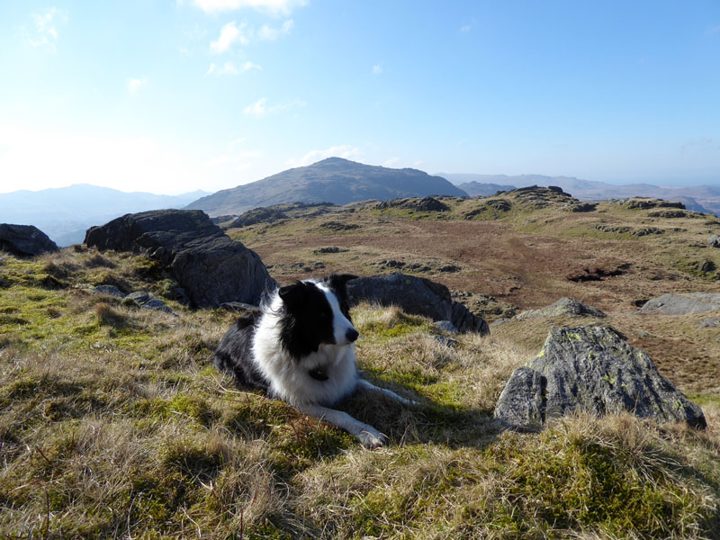
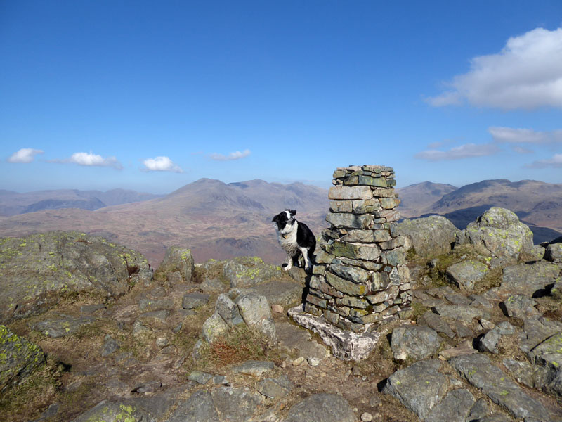
Molly on top of Hard Knott
 |
 |
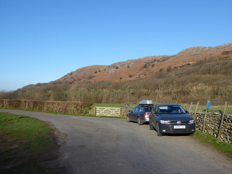
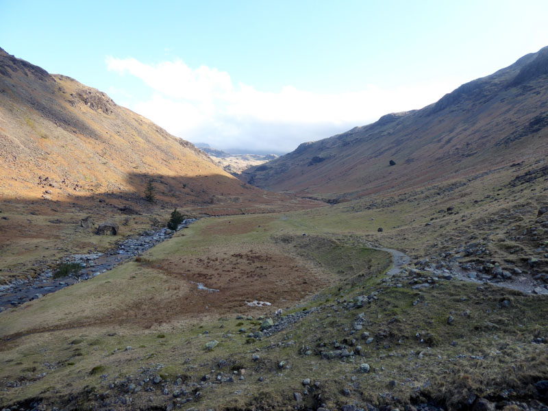
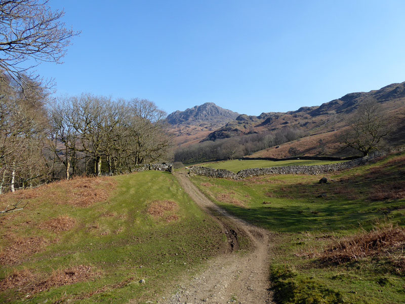
Eskdale Parking
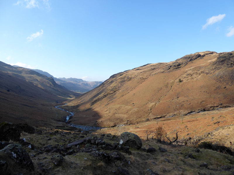
I had been mulling over where to walk on our departure day. In the end, I decided to park at the end of the road before it becomes Hard Knott Pass and head into the quieter reaches of Eskdale for an ascent of Hard Knott via Lingcove Beck. Maybe, if time allows, we can hike up Harter Fell afterwards. Start time is 0830hrs and I promised to be home in Burnley by 5pm...
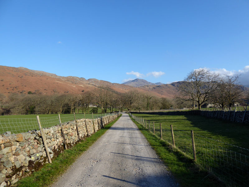
On our Way
It's a beautiful day and the wind has eased. Wainwright penned six pages within the Hard Knott chapter but was less than generous in his suggestions as to how one might make a deccent ascent of the fell. This is a great way to the summit of HK and pity those who have ticked it off with a quick up-and-down from the top of Hard Knott Pass, as suggested by AW.
~~~
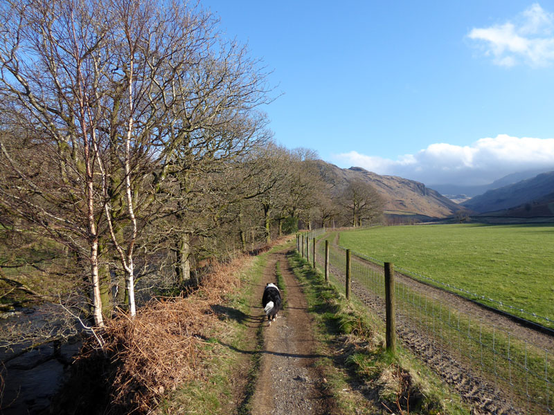
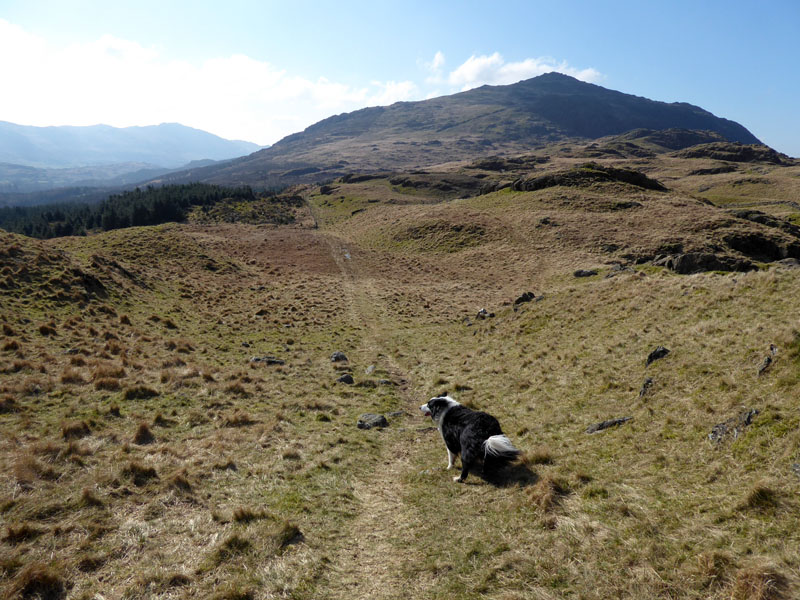
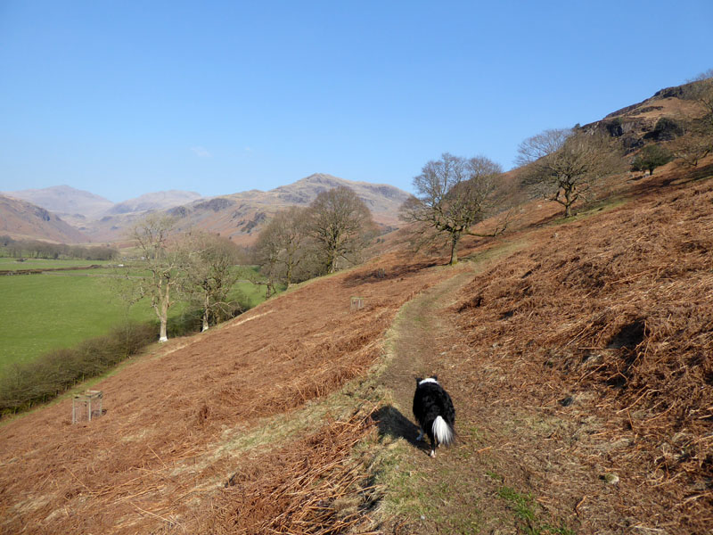
Not the usual photo of Molly trotting ahead of me as I'm respecting the request for dogs to be kept on leads in these early stages. Molly doesn't bother with sheep, but the farmer and the sheep don't know that.
~~~
Now the sheep intensity has dropped considerably and we continue as usual. It's the only time I've been in this valley without direct sunshine, it's just a tad early for the shadow of the fells to shrink and disappear.
 |
 |
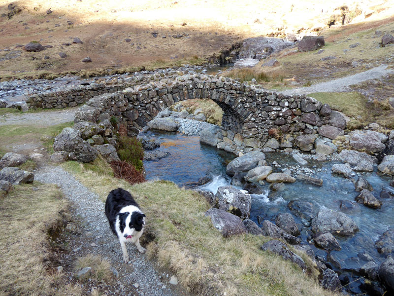
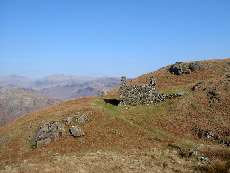
Lingcove Bridge |
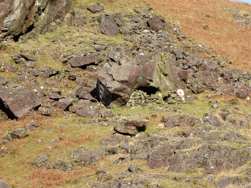
Rock Shelter |
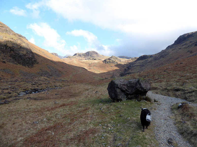
Our route takes us up Lingcove Beck on the eastern side.
 |
 |
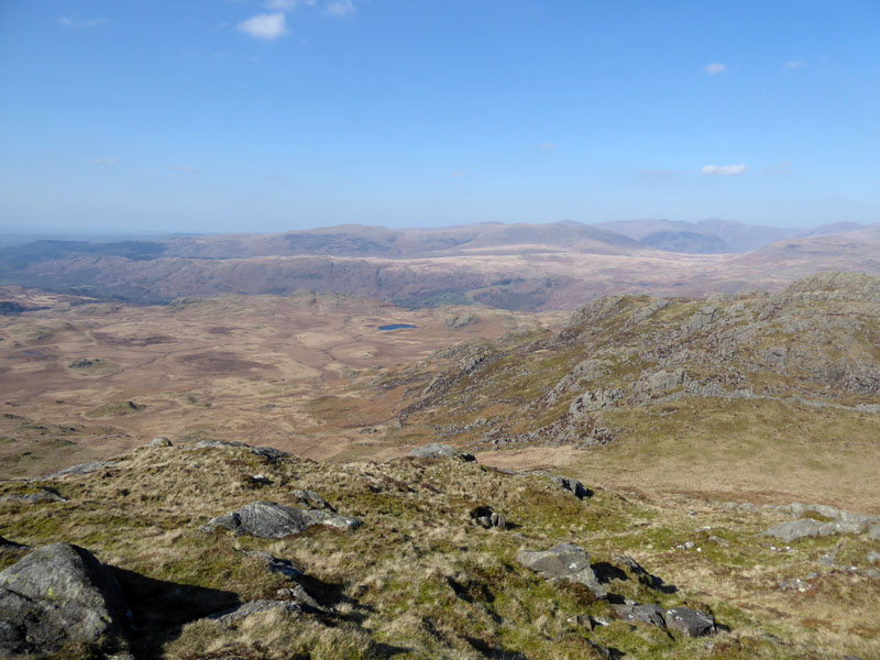
Looking Back |
Looking West |
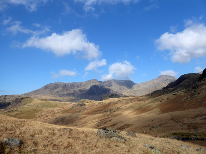
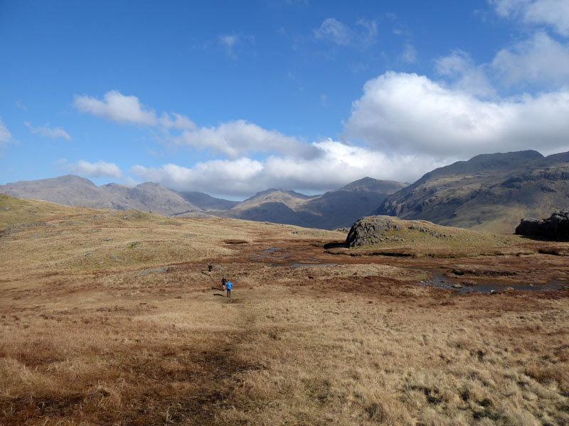
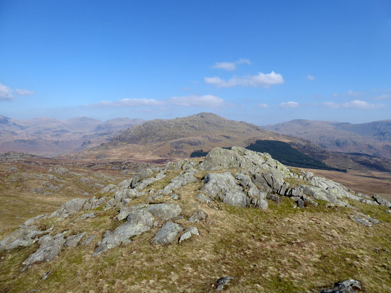
Looking back down Eskdale you can just make out the uneven top of Green Crag. Elsewhere the Scafell Massif dominates the view.
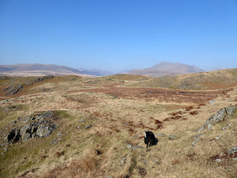
Innominate Territory
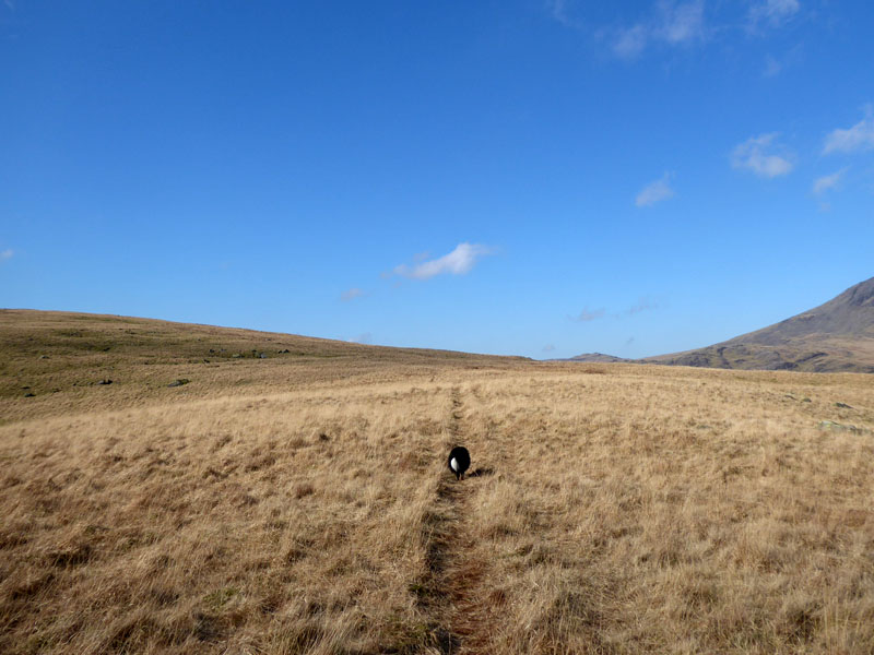
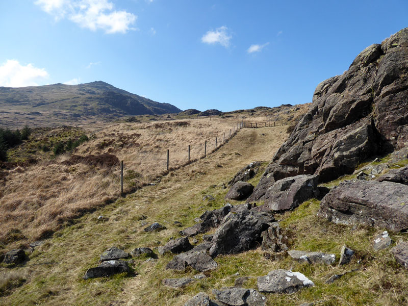
The OS map shows a path leaving Lingcove Beck territory and heading into Moasdale (spelt Mosedale on AW's map). Soon we divert off this route and head along the tracks of a farmer's quad bike to gain the line of ascent for Hard Knott. This piece of land has no name on any of the maps I've looked at.
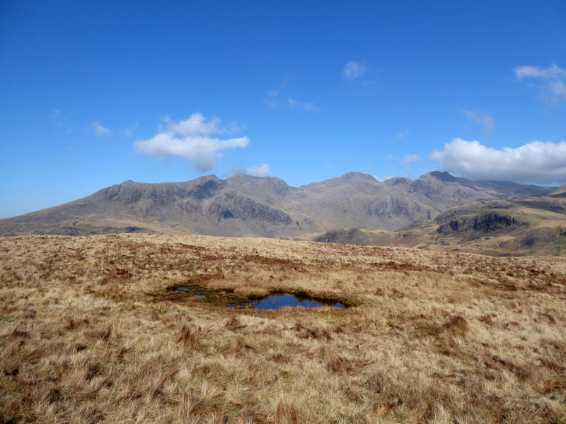
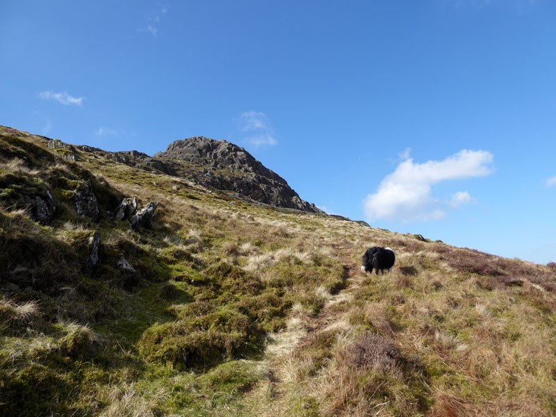
The Scafell Range
Runners
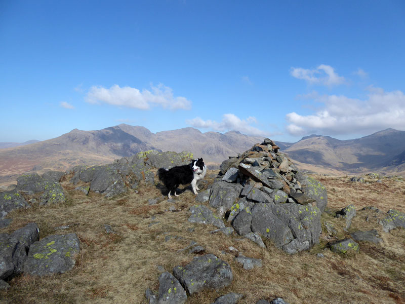
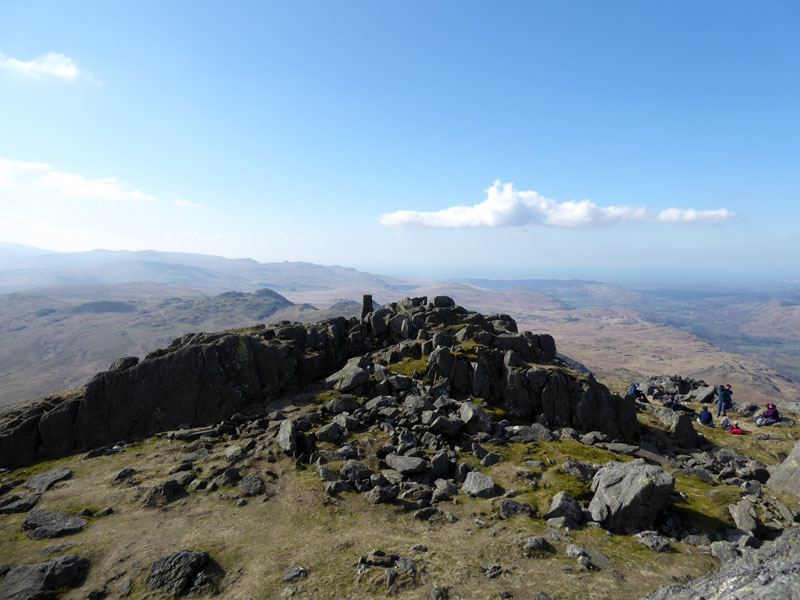
Molly on top of Hard Knott 1,803ft asl
The runners were the only other people I saw on the way to the top of Hard Knott. It's now 10:30hrs and time for a piece of cake.
Rest Time
Over Molly's shoulders is the imposing sight of Harter Fell. I reckoned if we could get up there for 1200hrs, there was a good chance we could get home for tea. It generally takes 2hrs 30 minutes from Eskdale to our bit of Burnley.
 |
 |
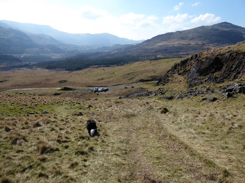
Hard Knott Pass |
Cairn above the Pass |
So down to the top of the pass and up the other side. Me n' Molly don't start walks from the top of passes; but maybe there are folk who like to get to the foot of the fells rather than the tops, so this would be an ideal place to park to set a reasonable challenge.
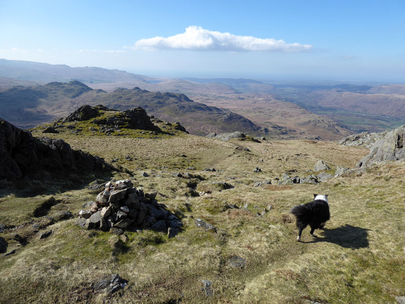
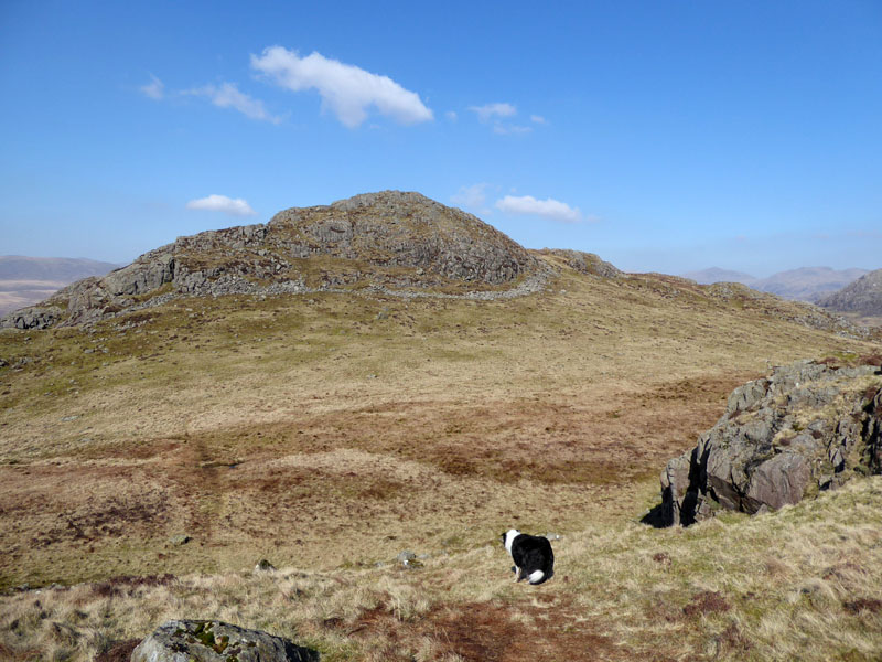
To Harter Fell
These are new fells for Molly and long-lost friends to me. Eleven years since I was last on this route and there is only one fell out of the 214 Wainwrights that I have only been on top of once - Green Crag. Surely that is too far away today...
 |
 |
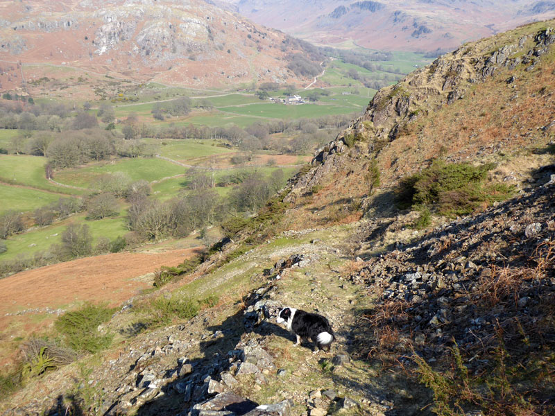
There are some rather boggy bits on this ascent and two stiles where I had to lift Molly over. This could be a problem for anyone with larger dogs.
The Harter Fell Trig Point
The true summit is not dog friendly, so me n' Molly agreed the trig point would suffice on this occasion.
Molly on top of Harter Fell 2,140ft asl
It's 1200hrs and all is good. Common sense dictates we should make our way back down to Eskdale, get a brew, put our feet up for a few minutes and get home in good time for tea.
Harter Fell Descent
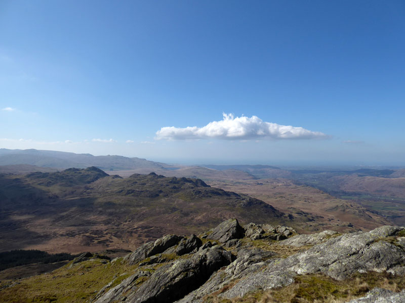
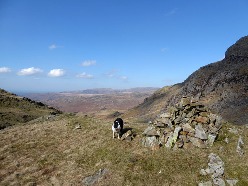
Green Crag
The rocky expanse of Green Crag is just over there. Both me n' Molly need GC for our lists and it's a very long way to return for one fell. There is a bog between Harter Fell and Green Crag. Wisely AW does not offer a "ridge route" between these two fells and so takes no blame for all the sodden footwear or lost wellies. Let's see what happens....
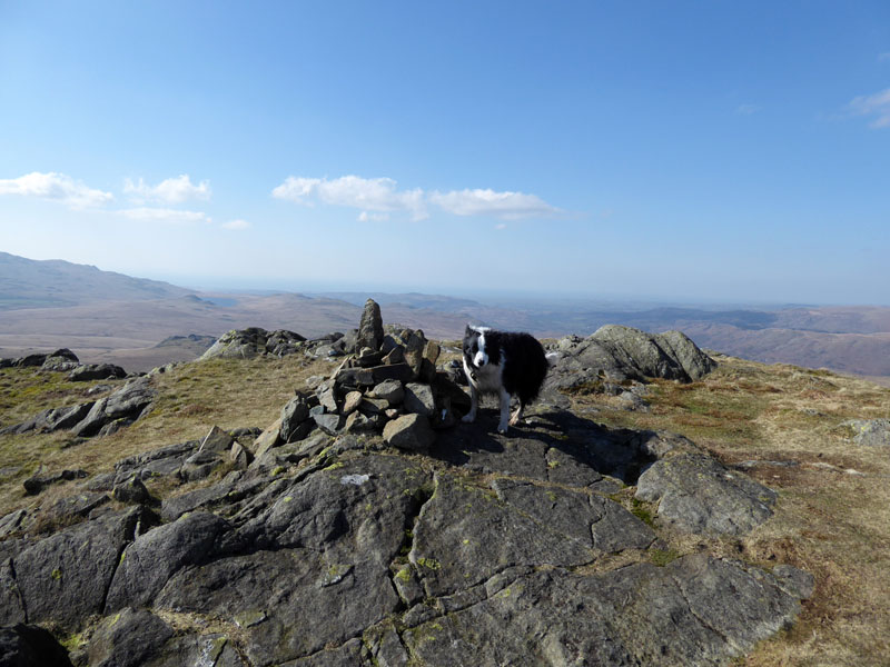
Molly on top of Green Crag 1,602ft asl
Well, it wasn't too bad. The map clearly shows the marshy bogland, everyone says it's boggy. It was boggy, so no surprises. Most of the wet stuff is nearer to Harter Crag, it gets easier as you progress south-west to Green Crag. Such is no consolation if you are going the other way. It's now 1305hrs and at least it won't be a case of "the dog's had your dinner" as the dog is here with me.
Harter Fell from Green Crag
Much of this walk is the reverse of one I enjoyed in the company of David & Jennifer Hall, plus Dave Dimmock on April 29th 2011. However I'd forgotten the detail and going the other way round things look different.
 |
 |
The long view to Low Birker Tarn and just a little closer is the rocky feature known as The Pike.
~~~
Peat Hut
The route down to Doctor Bridge (Eskdale) is part of an old peat road and is therefore very sound under foot.
 |
 |
Peat Road |
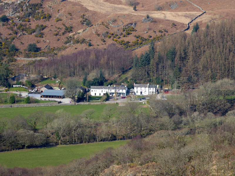
Woolpack Inn, Eskdale |
We went in The Woolpack on Friday night and it was not ideal. With Molly in tow, I like to sit in corners and she likes to nap under the table, but somehow we ended up on a table in the middle of the room where the big tv is and soon enough a large group of joyful walkers came in. The loud voices and laughter spooked Molly and she made a bolt for the door (actually the door already had a bolt, but a spare one could be handy!). So we didn't stay long; two ladies looked after Molly while I finished my meal and then we departed.
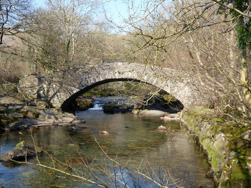
Doctor Bridge
From here a bridleway heads for Jubilee Bridge at the foot of Hard Knott Pass. There is a footpath diversion around Penny Hill Farm, otherwise a great low level walk back to the car.
~~~
~~~
Walkers: Molly and Me.
Time taken: 6hrs 45mins over a distance of about 13 miles. Back at the car for 15:15hrs and home by 17:45hrs.
Route: Roadside parking near Jubilee Bridge, valley walk into Eskdale and Lingcove Beck for direct route up to Hard Knott across heathland. Down to Hard Knott Pass and up to Harter Fell. Down to the edge of the forestry and into the marshy bogland where feint tracks show the way. Up to Green Crag and then downhill to the footpath between Tarn Crag and Low Birker Tarn. This becomes an obvious old working road and so passes an old peat hut and makes its way down to Doctor Bridge. The bridleway route past Penny Hill Farm is an ideal warm down after a tough walk.
Weather and conditions: Sunny with light winds.
Photos copyright Richard Ratcliffe 2022 ©
Take me back to the start ....