
~Souther Fell & Blencathra~
20th January 2023
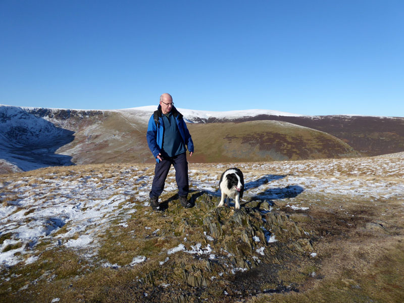
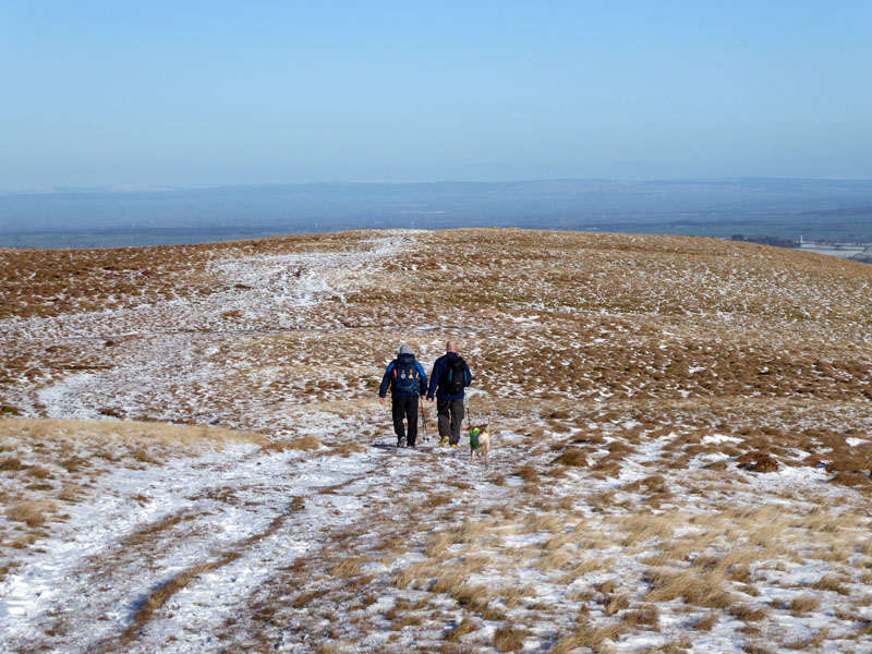
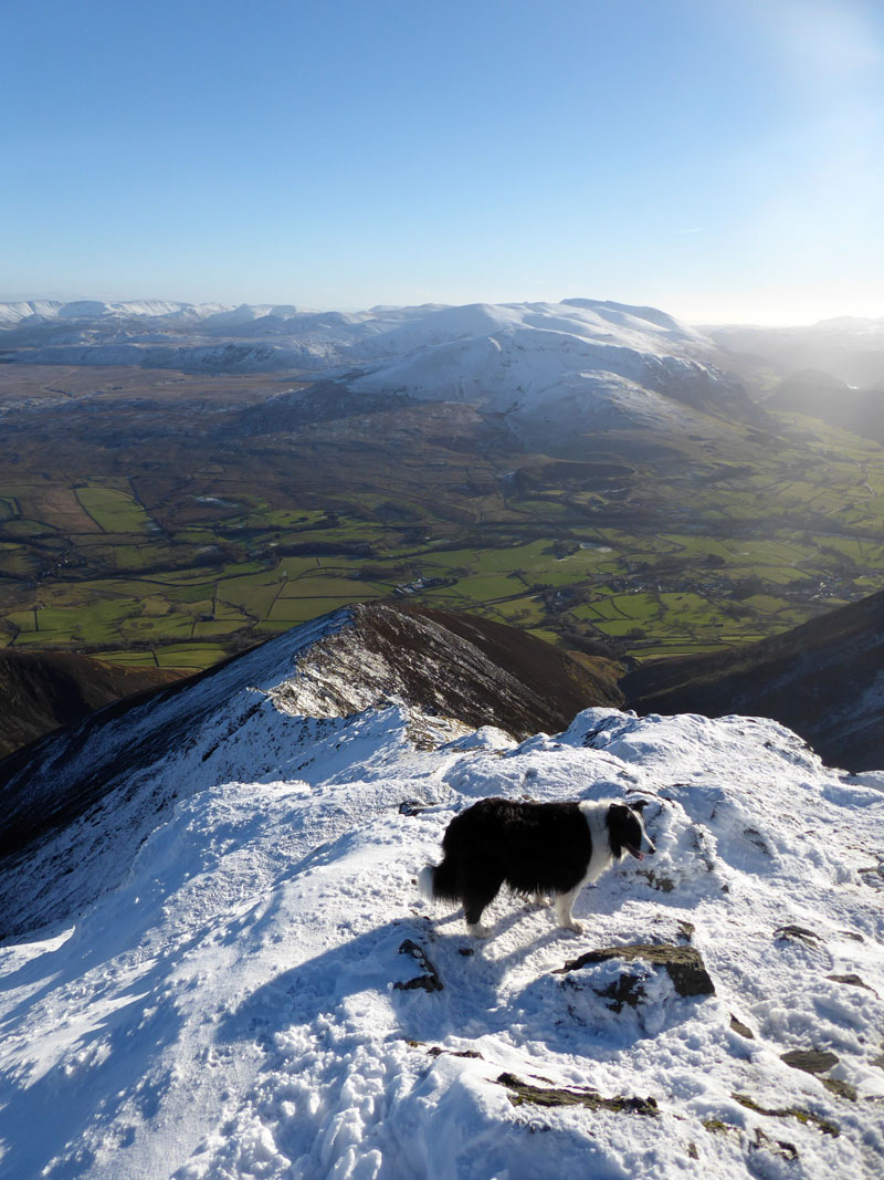
Peter & Molly on Souther Fell
 |
 |
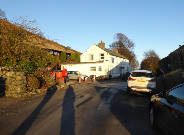
Fully 75 days since our last walk in Lakeland. Too many excuses or reasons for this abscence to list here, but the cessation of persistent rainfall which blighted the weeks after Christmas has provided a fine opportunity to head up the motorway and the Friday Walking Club is back in action and aiming for Souther Fell. We parked at Scales on the old road - the pub is the bright, white building and then walked along the "older" road to find Mousthwaite Combe.
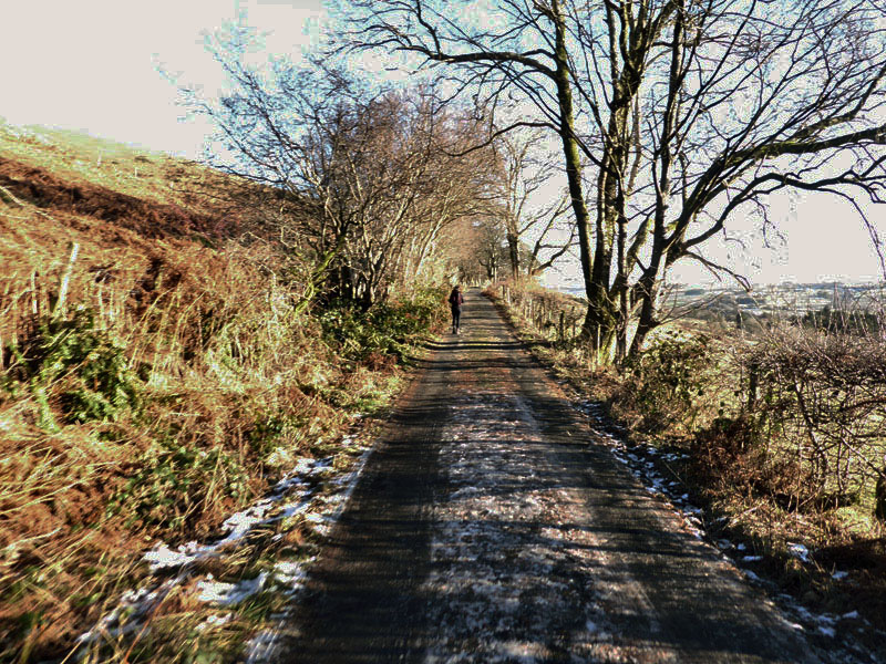
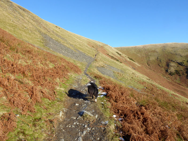
Mousthwaite Combe
We have packed micro-spikes today in case of icy stretches higher up. I had a few issues with the exposure settings on my camera, but eventually sorted it out, so some early images may look a little odd. The primary target is Souther Fell and once we are there, we'll make a plan for the rest of the day.
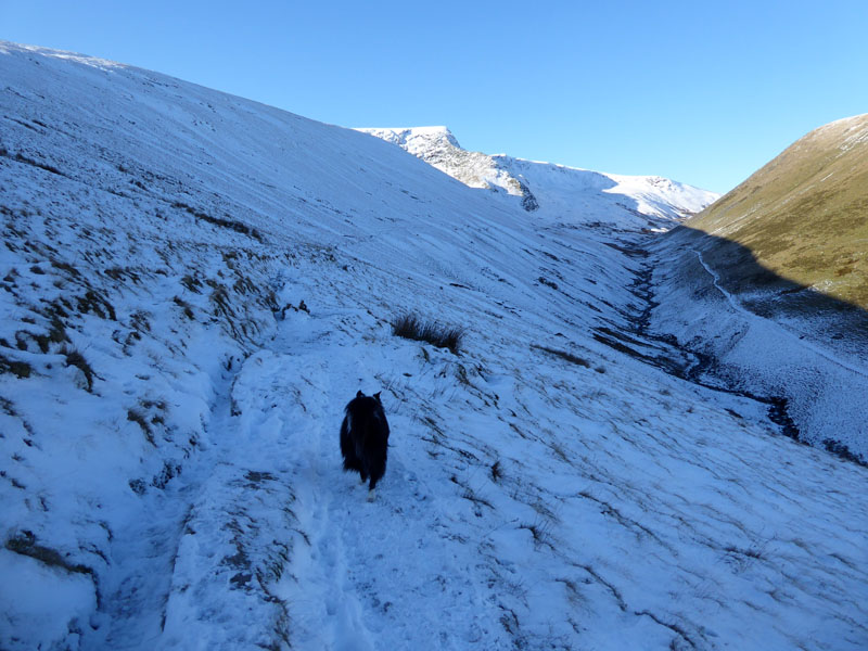
Heading for Mousthwaite Col
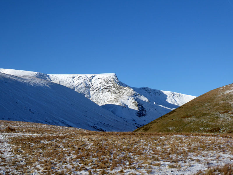
Sharp Edge, Blencathra
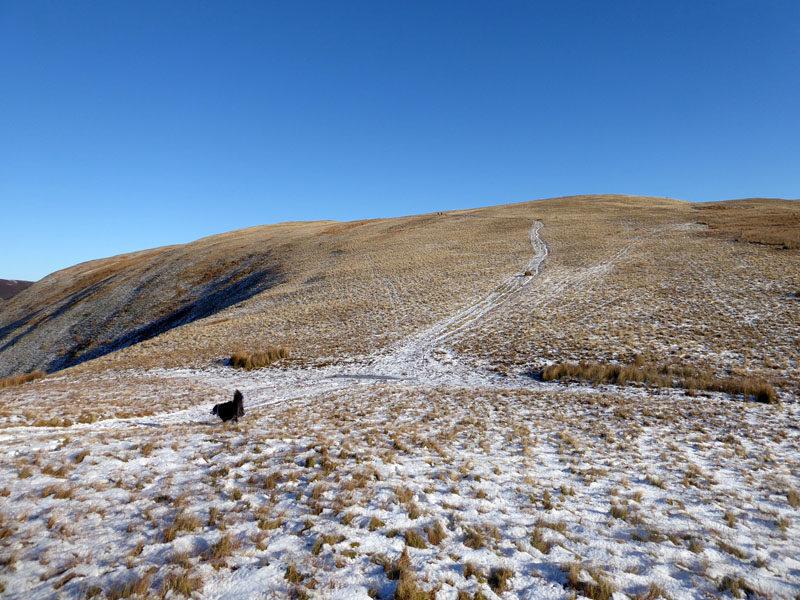
to Souther Fell
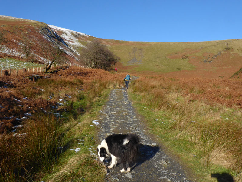
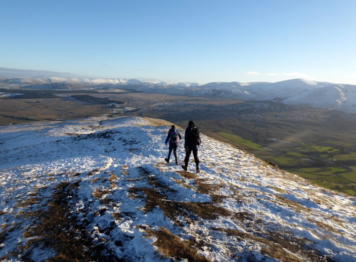
No hazards here, easy walking up to the summit territory of Souther Fell. It's more than 10 years since I was last up here, two other walkers are ten minutes ahead of us.
 |
 |
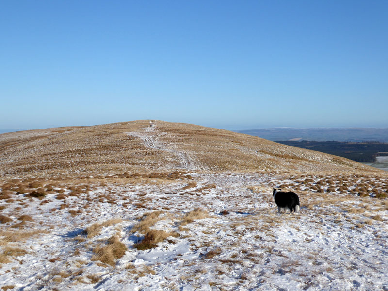
Summit Territory |
The Others |
We had to be a little patient as the other two had numerous souvenir photos to take. Just as we arrived, they wandered off, a little hello might have been nice in this remote landscape.
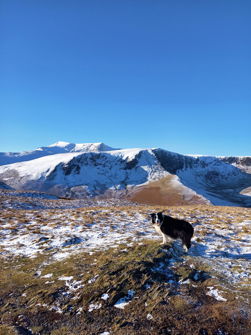
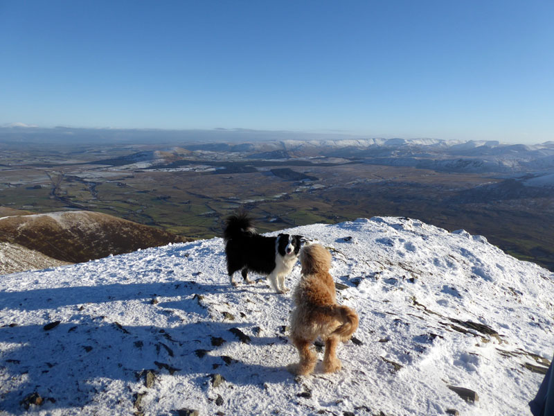
Molly on top of Souther Fell 1,680ft asl
Behind Molly, Bannerdale Crags displaying the very appealing East Ridge; further away is Blencathra. We discussed the options and decided on a day like today it would have been crazy not to have gone for Blencathra. On a "longer" day and with more supplies and maybe a younger dog, we'd have done the lot including Bowscale Fell. Or maybe not.
River Glenderamackin
You can see how the low angle of the winter midday sun allows for some of the snow on the southern grassy slope of Bannerdale Crags to survive for another day. This grassy slope is named as White Horse Bent on the OS Maps.
In the Shade
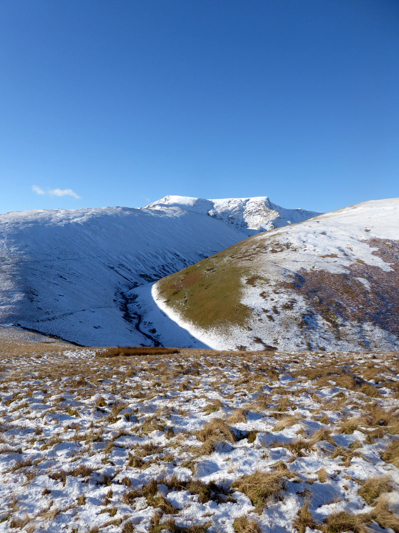
We are heading into the shade on the side of Scales Fell and heading for Scales Tarn. The next 90 minutes or so will be out of sunshine; at no point today did either of us wear gloves, such was the lack of discomfort from the cool temperatures as there was yet to be any discernible wind.
~~~
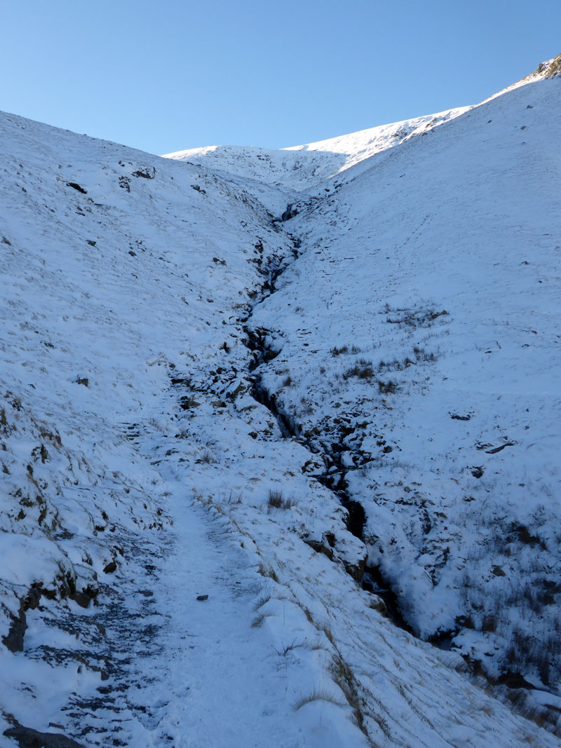
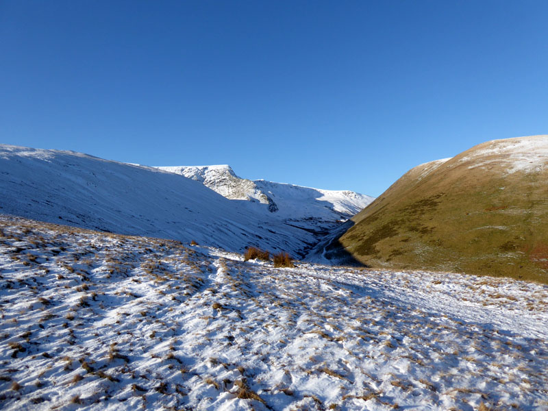
Scales Beck
Up here to Scales Tarn....
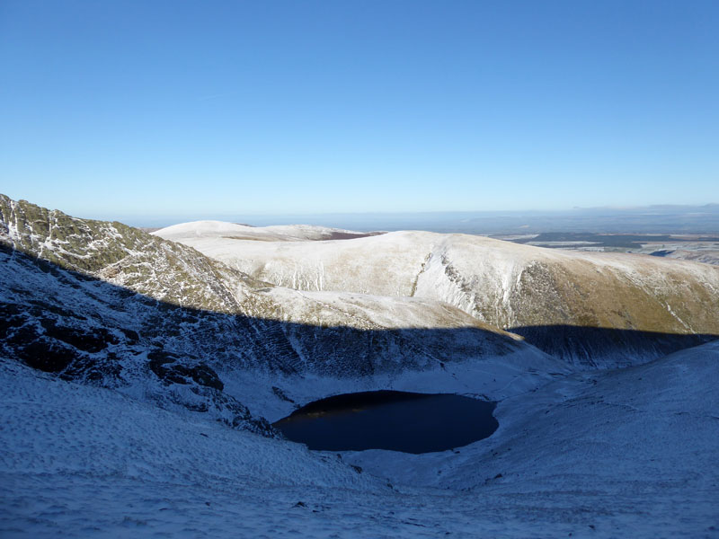
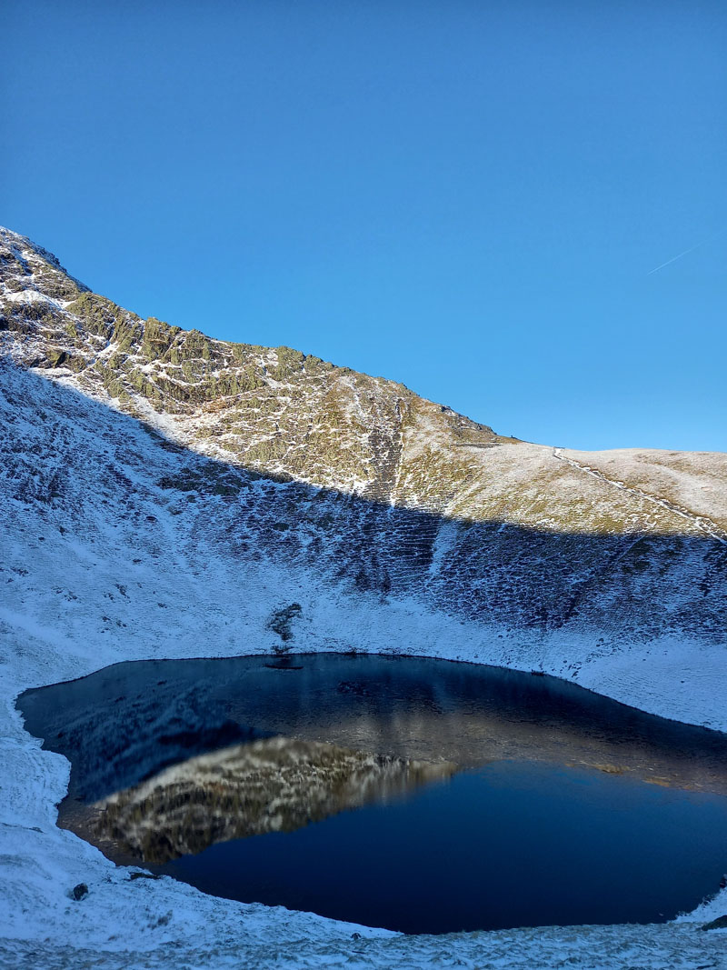
Scales Tarn
We decided to don our micro-spikes when we reach the tarn, we have not yet needed them.
 |
 |
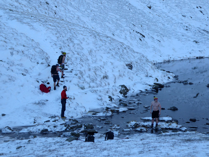
Under-dressed Men |
Scales Tarn |
A group of male fellwalkers have decided to go topless. A bit odd at this time of year. We put the micro-spikes on but in the event, they were never really necessary. There was no sheet ice up here, only soft snow.
~~~
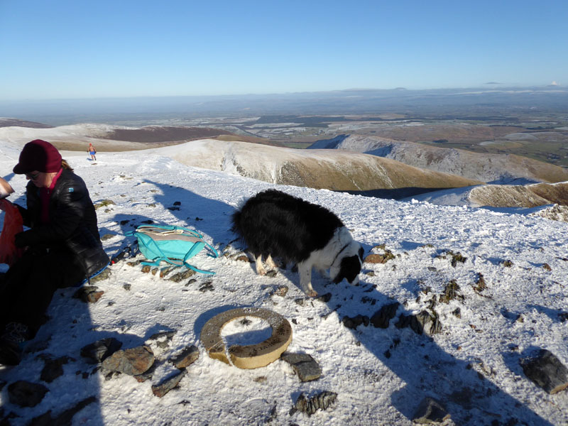
Molly and Falkor on top of Blencathra 2,847ft
As shown below, the little trig thingy is a most unsatisfactory way to mark the summit of this fine mountain. As it was, a couple of fellwalkers had decided that this was an ideal place to eat their sandwiches, thus denying others their souvenir photos. It's a neverending story, folk continue to disappoint me when they take up residence at the top of fells.
~~~
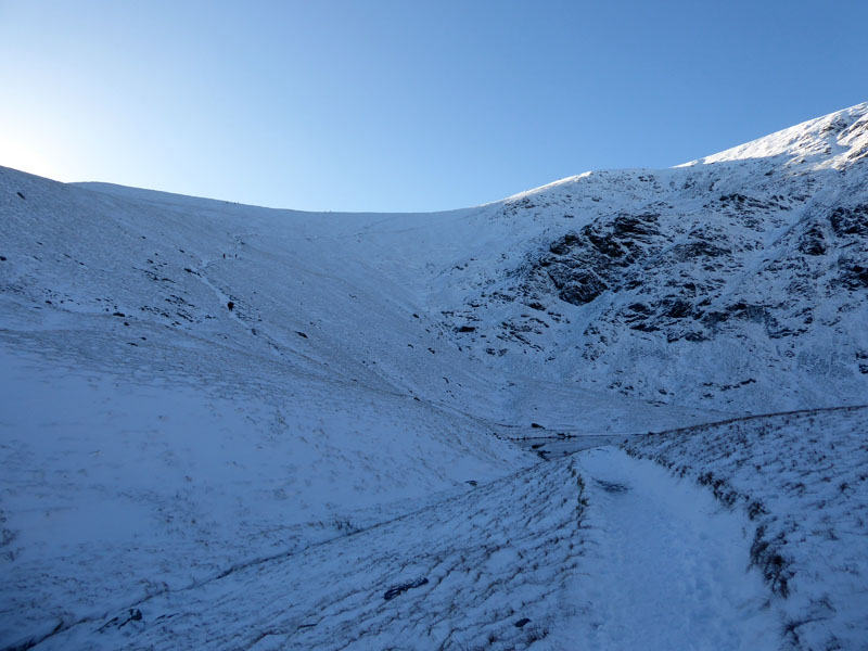
Hall's Fell
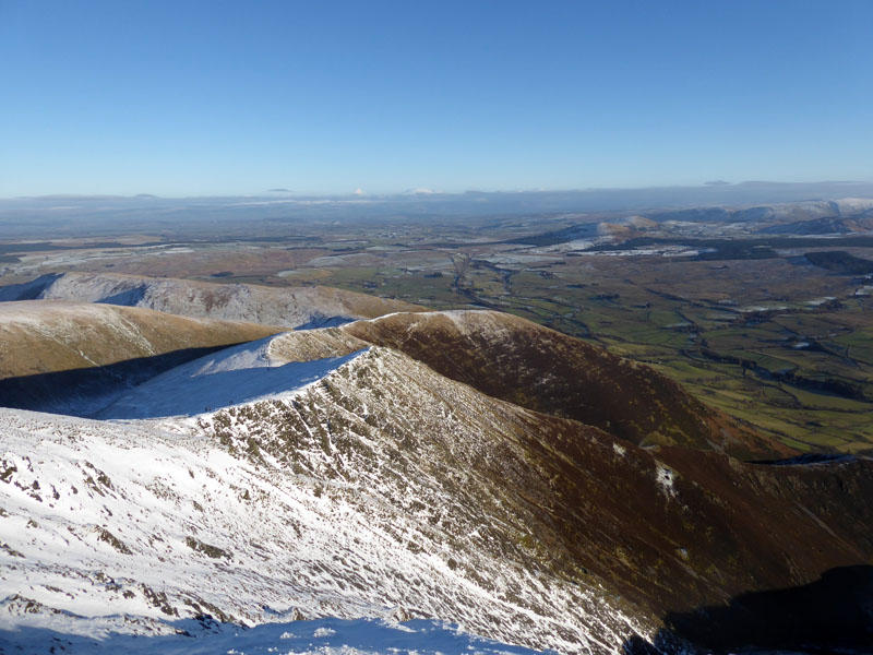
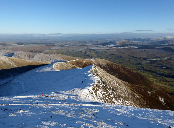
Scales Fell
This will be our descent route, one of the safest ways off Blencathra.
Skiddaw from Blencathra
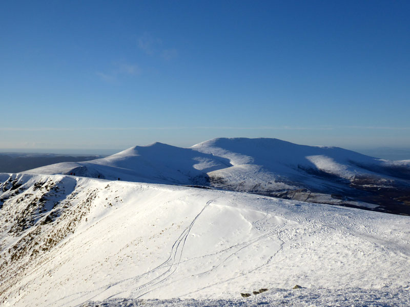
Scales Fell
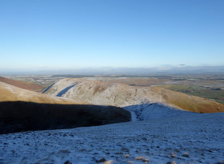
Souther Fell
Time to take a look again at Souther Fell as the shadow on White Horse Bent climbs slowly up Bannerdale Crags.
Left, right; left, right; left, right....
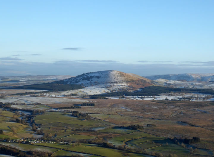
Great Mell Fell
Peter and Molly
White Horse Inn, Scales
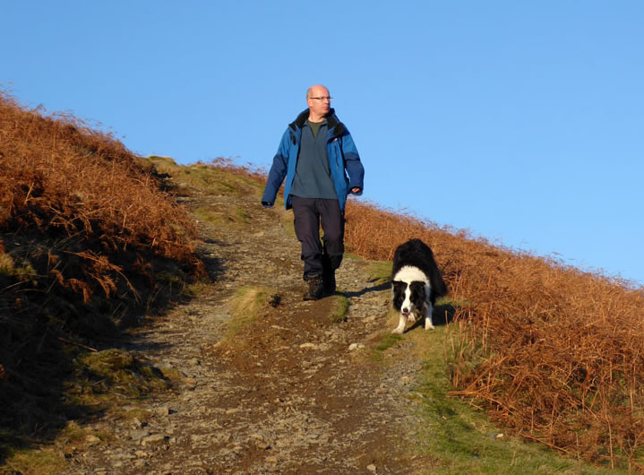
Walkers: Peter, Me n' Molly
Time taken: 4hr 50mins over distance of about 7.5 miles; 2600ft of ascent.
Route: Scales, Mousethwaite Combe, Col, Souther Fell. Return to the col and then contour Glenderamackin Beck to Scales Beck and up to Scales Tarn. Up to Blencathra summit and back down via Scales Fell.
Weather and Conditions: Sunny and cool, no significant breeze or windchill. A fantastic winter's day.
Refreshments: We had a later start than usual and took advantage of the 9am opening time for Basecamp North Lakes Farmshop & Kitchen on the A66 between Penrith and Scales, on the other side of the road to The Sportsman Inn. A really fine and well-stocked farmshop, plenty of parking and a large dining area. Dogs are allowed in and we had the hearty breakfasts. We cannot praise the establishment enough, great service, fantastic food and plenty of bonhomie. Pity they don't open earlier for our usual start times...
Greetings: All smiles on top of Blencathra, generally happy people out today and most were pleased to share a few words.
Another January day (2012) on Souther Fell and neighbours.
"Cheerio!" until next time...
All photos copyright Richard Ratcliffe 2023 ©
Take me back to the start ....