
~Ill Bell to Shipman Knotts~
3rd March 2023
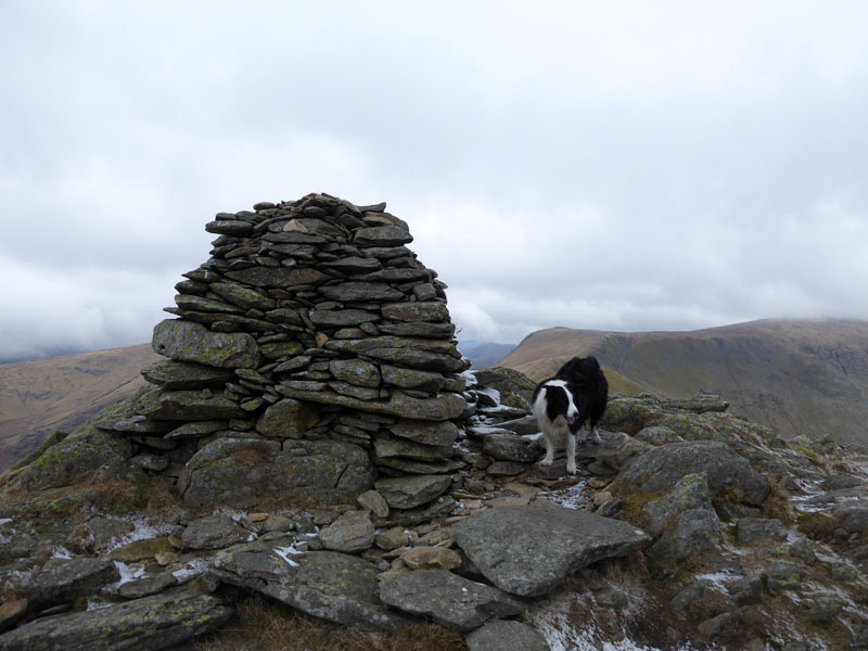
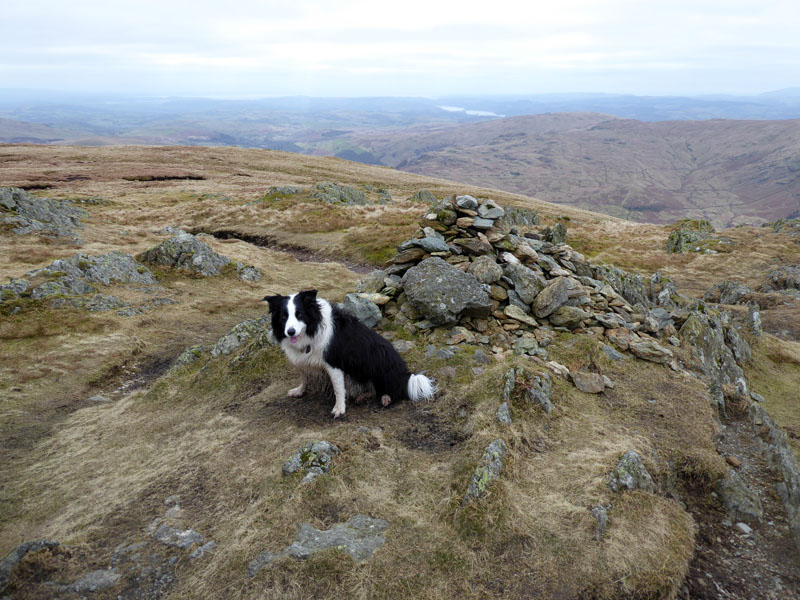
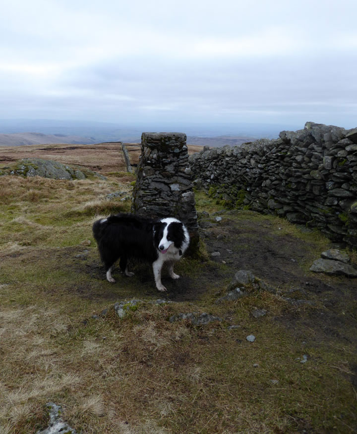
Molly on top of Ill Bell
 |
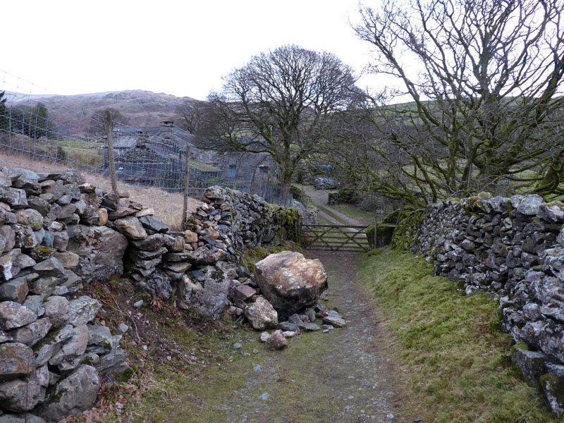 |
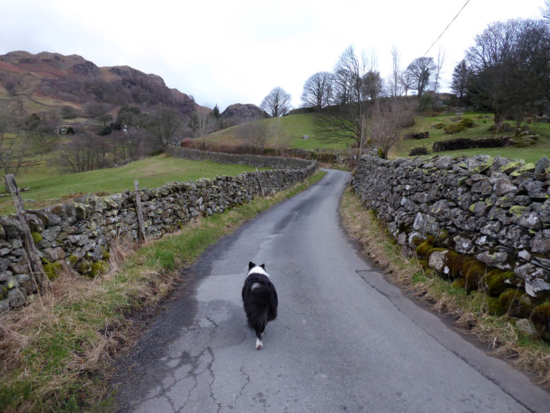
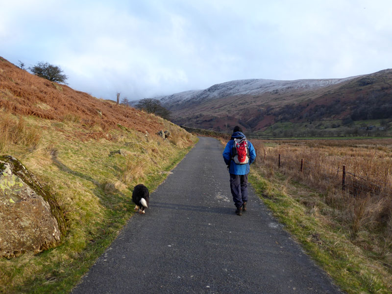
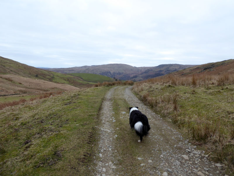
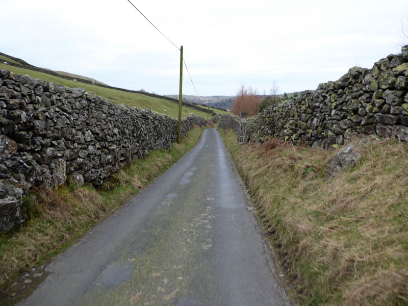
Once more, The Friday Walking Club is back in action. We left home at 0500hrs and took a short break at Burton-in-Kendal services on the M6. Parking at Kentmere Church was easy, one other vehicle arrived just before us and the two of us left room for a few more. It's a £3 donation to the local funds. We are walking by 0720hrs. Molly leads the team towards Greenhead, but we turn sharply right for the track down to Rook Howe. On the way, a boulder has fallen out of the wall and made a mess of things. Local traffic can use a different road to get to the houses and farms.
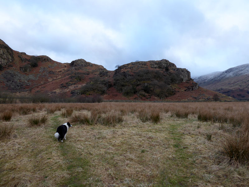
Calfhowe Crag
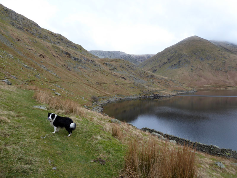
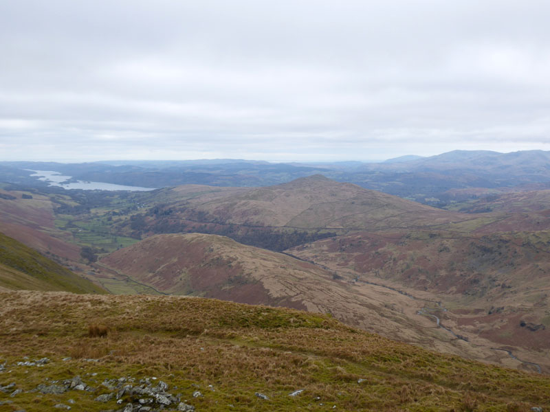
The plan is to walk up to Kentmere Reservoir and then ascend Ill Bell via the north-east ridge. The first three miles represent the easiest of walking in immensely quiet and beautiful countryside.
Molly and Peter
We are operating our business remotely today and the plan is to be in areas where "reception" is good by the time the rest of the country gets settled behind their desks.
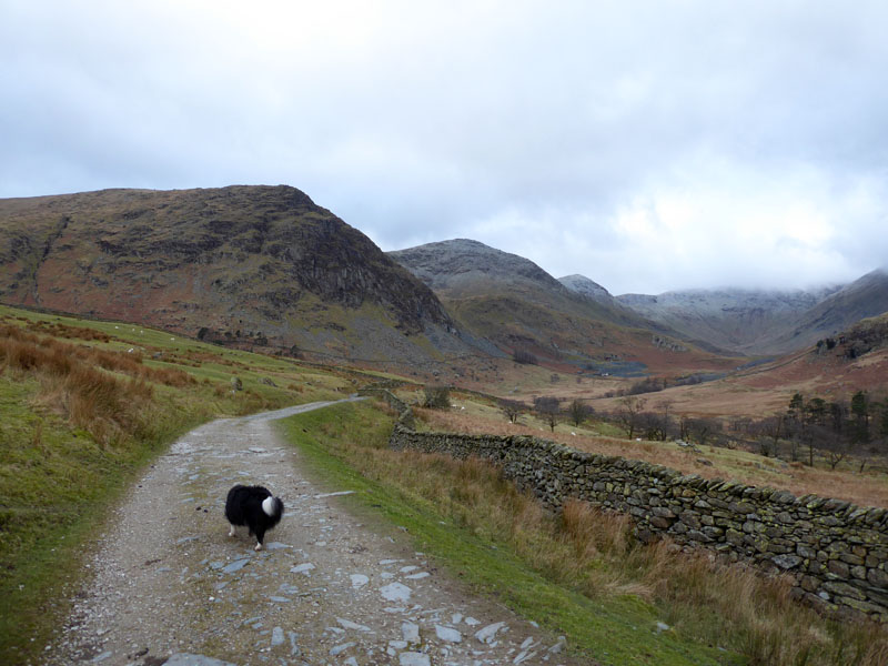
To Kentmere Reservoir
This area is so remote from civilisation; I am always a bit nervous about parking in Kentmere but once the car doors are locked, it's always a joy to walk up to the reservoir.
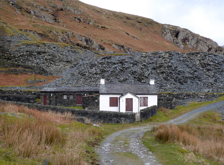
Reservoir Cottage
This restored facility is owned by Blackburn & Darwen Borough Council; Young People's Service. It can be rented by others and comprises many bunks and good facilities...hopefuly not wi-fi.
 |
 |
Lingmell End |
Reservoir Path |
The reservoir was commissioned to supply a steady flow of water to the mills alongside River Kent; power rather than steam for boilers. Once the mills secured coal with the arrival of the railway to and though Staveley, the reservoir became less important and James Cropper of Burneside became the last user of water; they have since paid for repairs to the dam and ever since they failed to sell the facility, they are effectively the owners but it has no commercial use or value.
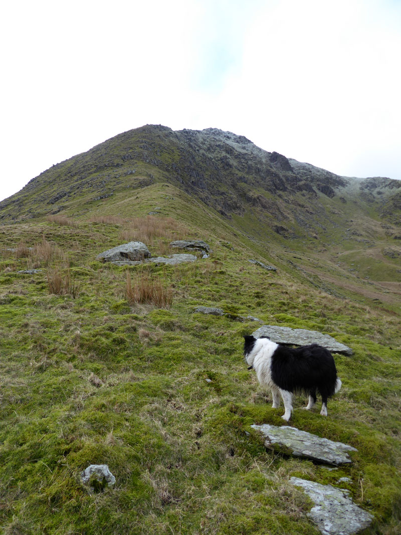
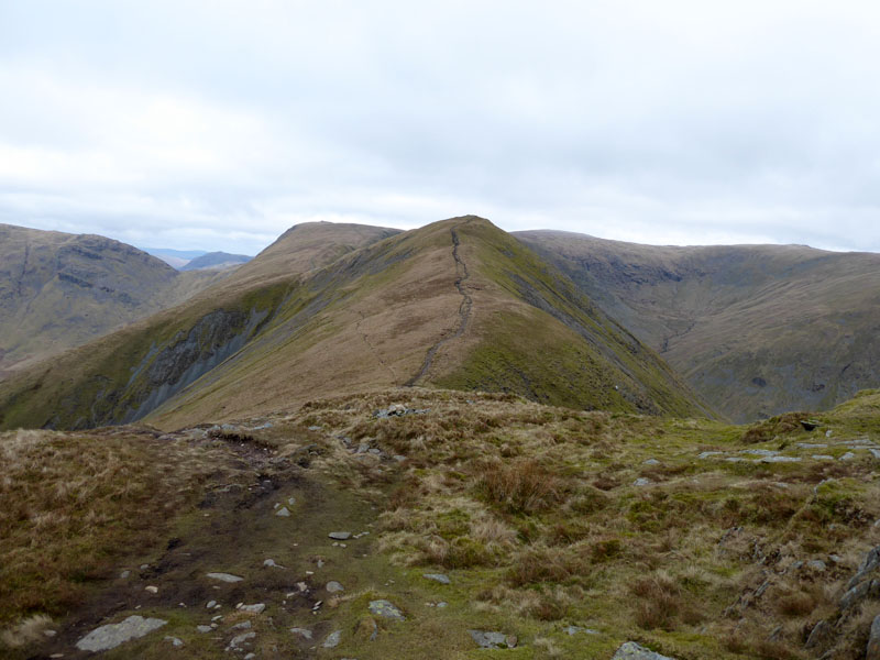
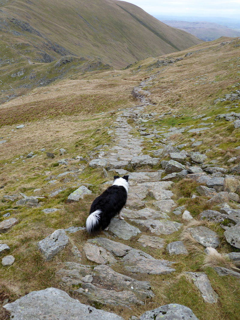
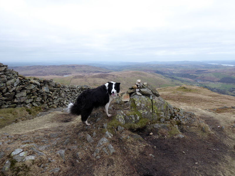
Ill Bell North-East Ridge
This ascent has been on my mind for some time. Wainwright promotes it on Ill Bell 5 in his Far Eastern Fells book. Whilst he shows a recommended route, there was no footpath to be found; he suggests that "steepness is the only difficulty". There is no profit here for fellbaggers, joining a ridge part way along is not ideal; but for climbers of mountains, this is one to be proud of.
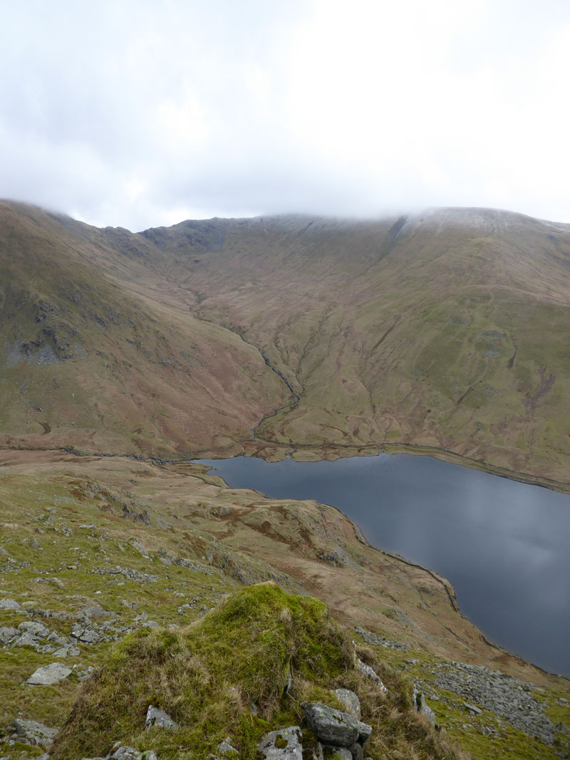
Lingmell Gill
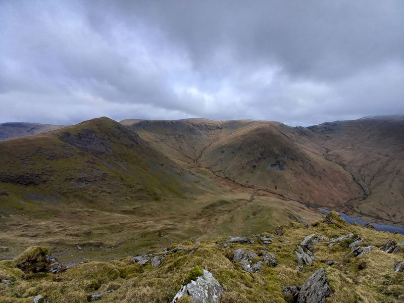
Looking down the ridge and across to Nan Bield Pass, you get a good view of Lingmell Gill. We'll be walking over the col later on as we walk around to Kentmere Pike.
Rainsborrow Crag
The very steep edge of Yoke is Rainsborrow Crag and certainly not for walkers. We found this steep ascent really quite tough and to lessen the gradient, we did some long zig-zags. It is true that the only difficulty is steepness, but it's very steep in places and 1500ft from the reservoir. No Path!!
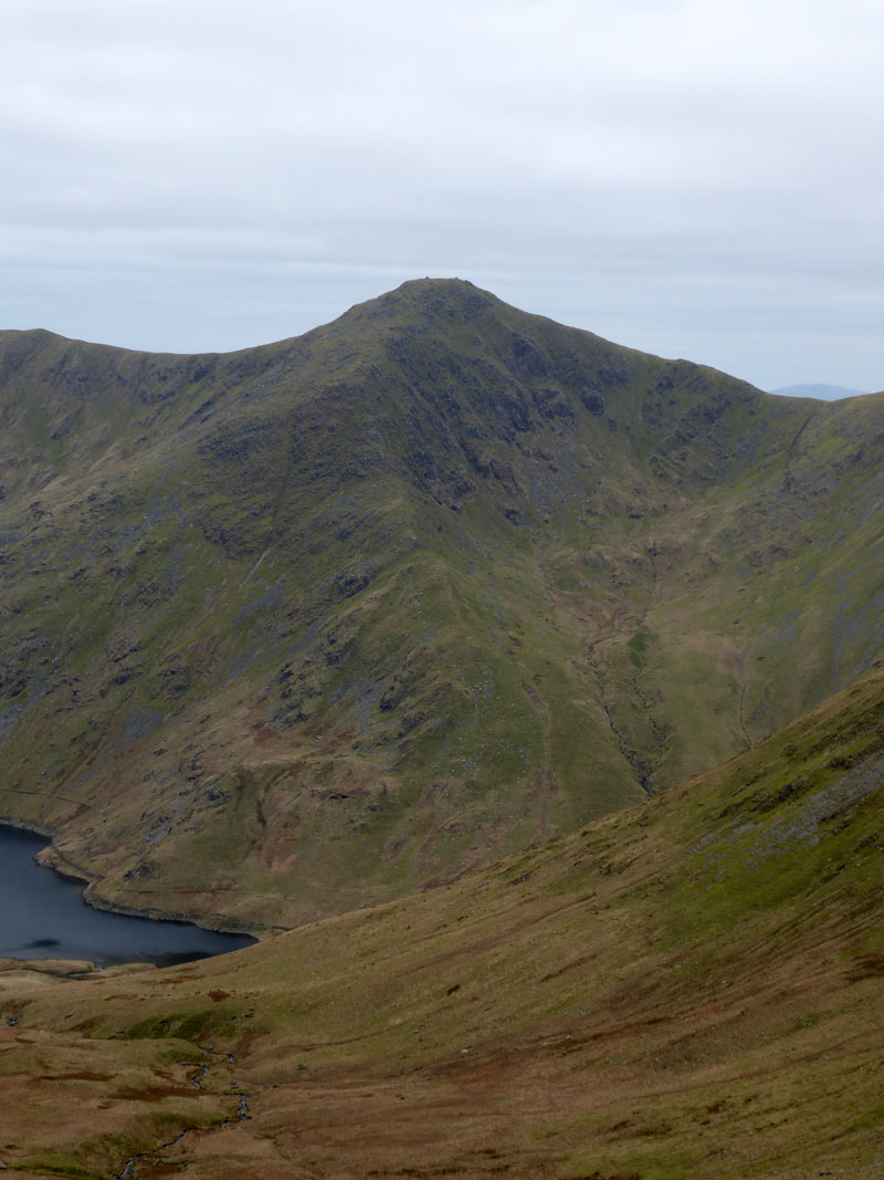
Froswick (left) and Mardale Ill Bell (centre)
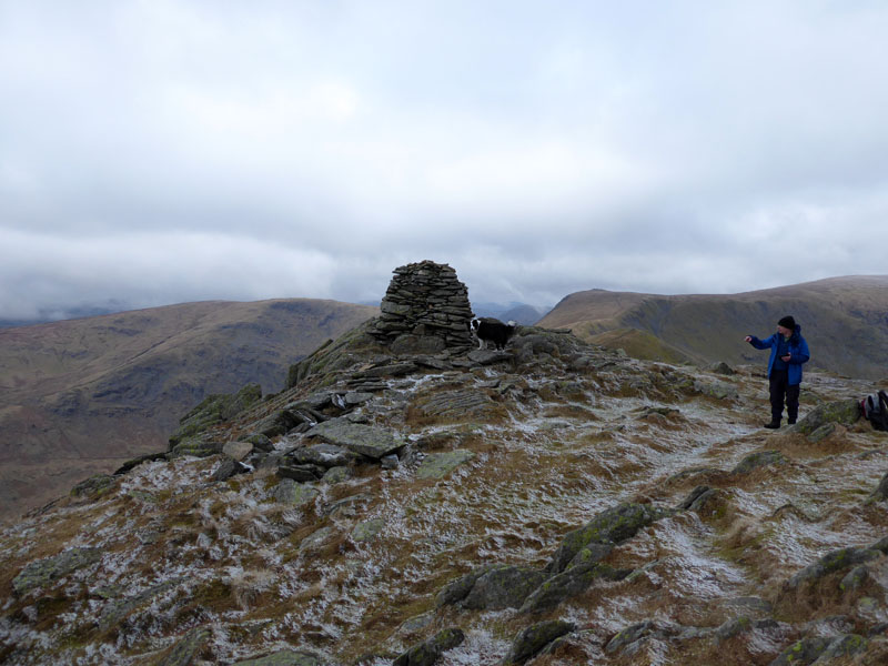
Molly on top of Ill Bell 2,476ft asl
It took us nearly 90 minutes to get from the reservoir to the top of Ill Bell. I'm going to suggest I won't be doing that again. Three hours from the car.
 |
 |
To Froswick |
Molly on top of Froswick 2,359ft asl |
All straightforward from now on; Froswick is .75 mile away and after the depression at c2,075ft asl, it's about 285ft ascent to the summit.
Wansfell
Looking across to Wansfell and (closer) Troutbeck Tongue.
To Thornthwaite Crag
A mile's easy walking with 480ft of ascent.
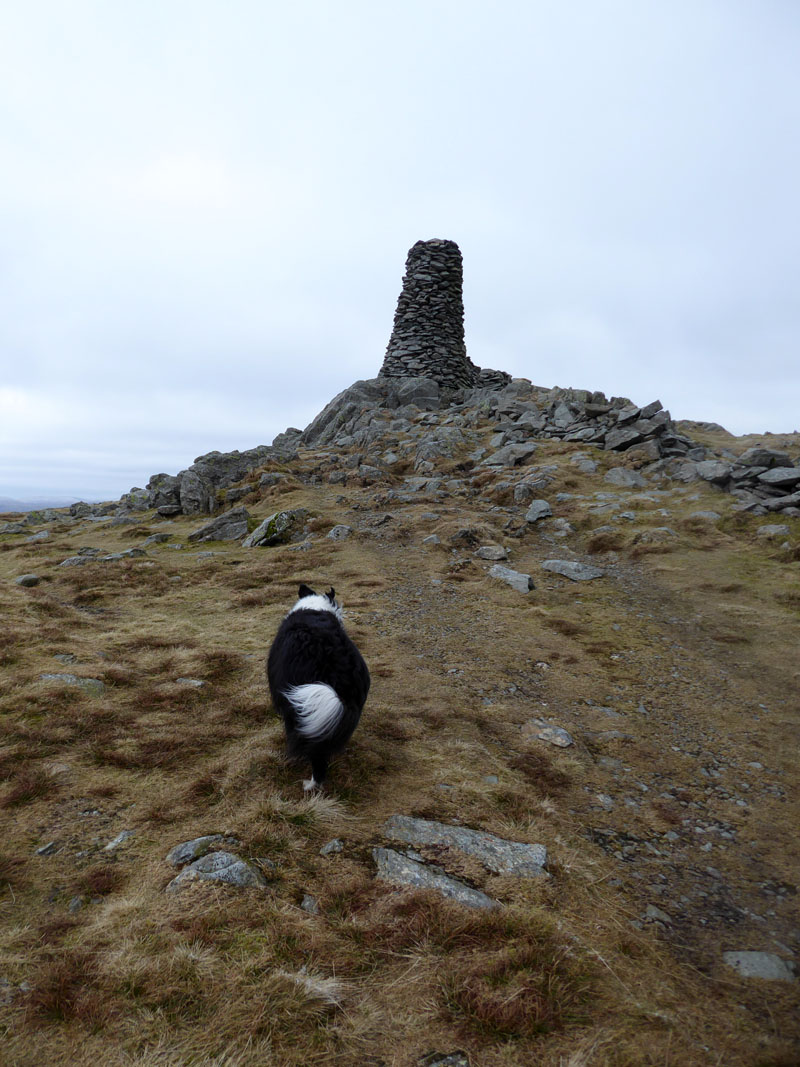
Thornthwaite Beacon
The usual form is to sit away from the wind and enjoy a beacon sandwich, which is exactly what we did. However it's cold up here today, probably wind-chilled down to about -5C, so we didn't stop for long. Next up, just over a mile away is the summit territory of Mardale Ill Bell.
Molly on top of Mardale Ill Bell, 2,496ft asl
To Nan Bield Pass
We have decided not to reach the summit of Harter Fell due to the length of the walk and the predominantly cool temperature. There is a clear path leading towards Kentmere Pike from a point fairly close to the top of the walk up to Harter Fell.

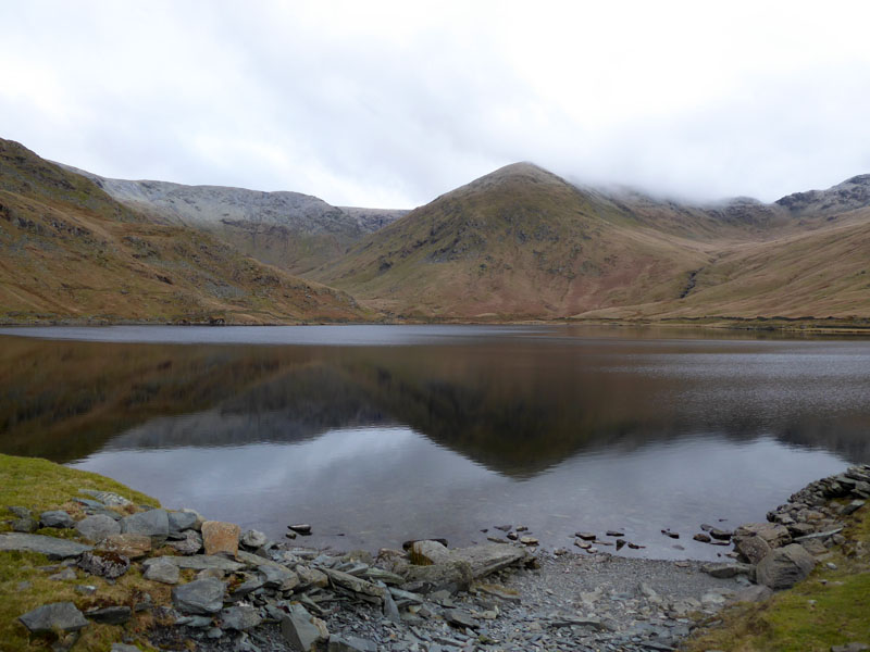
Haweswater and Small Water
North-East Ridge of Ill Bell
Another view of our earlier ascent route.
 |
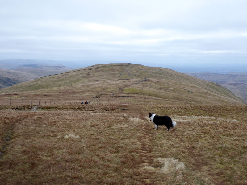 |
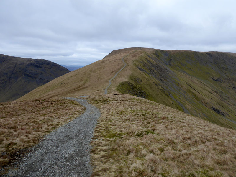
To Kentmere Pike |
Kentmere Pike |
There's much more to Kentmere Pike than we will see today as we traverse the summit en route to Shipman Knotts. Try the route penned on Kentmere Pike 6 "Ascent from Longsleddale" if you ever get the chance.
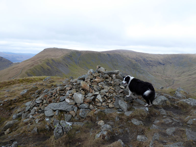
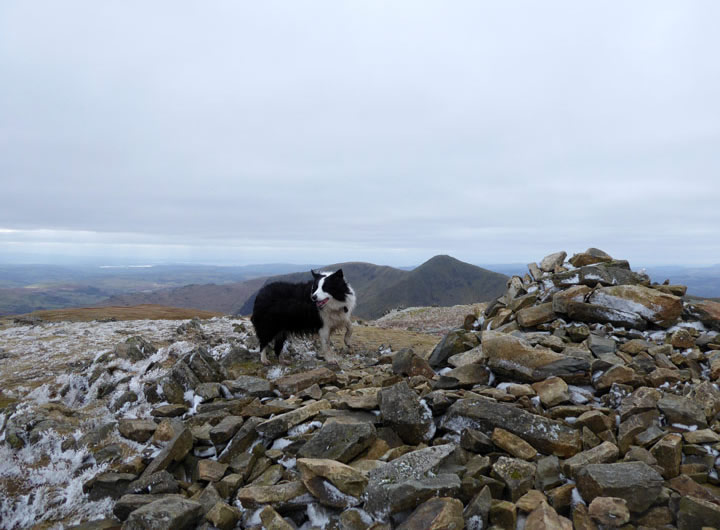
Molly on top of Kentmere Pike 2,397ft asl
There is a trig on the other side of the wall, but it is not necessarily at the highest point. Moving swiftly on....
Molly on top of Shipman Knotts 1,926ft asl
It's 1.25 miles from Kentmere Pike to Shipman Knotts and not much likelihood of anyone getting lost. The highest point of Shipman Knotts is just the other side of the high wall and accompanying fence. Such minor detail isn't going to bother us. Three more summits before Molly joins the 214 Club!
 |
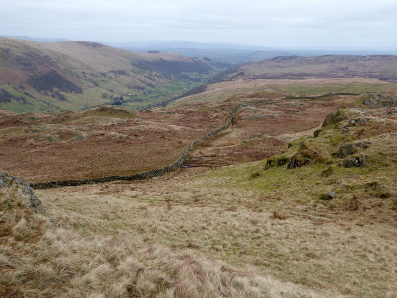 |
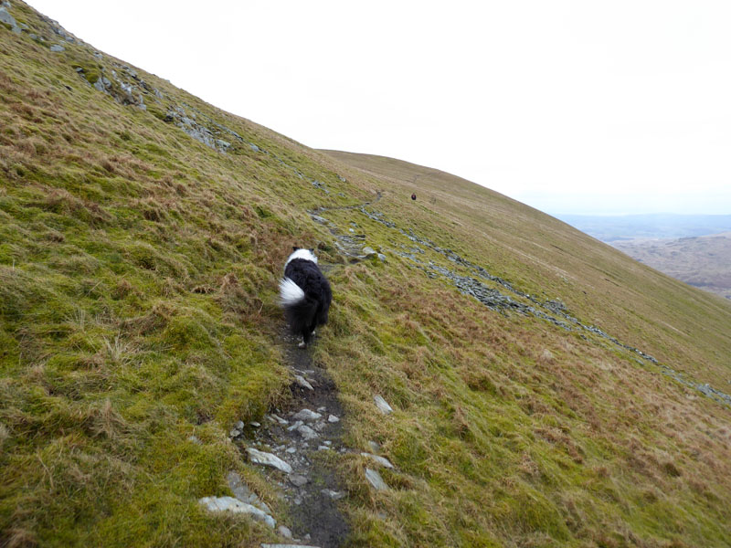
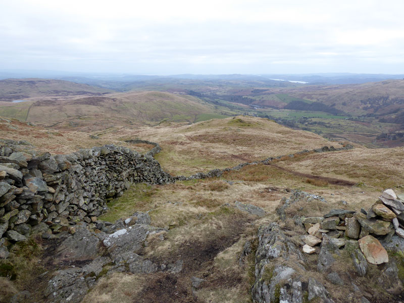
A couple of views taken on the descent off Shipman Knotts. You know a fell is of limited appeal when Wainwright's chapter is only four pages. We aim for Garburn Pass, the ancient track which links Sadgill in Longsleddale with Kentmere and Troutbeck.
Garburn Pass
We chose to walk to High Lane and pick up the road which leads down to Kentmere village.
High Lane
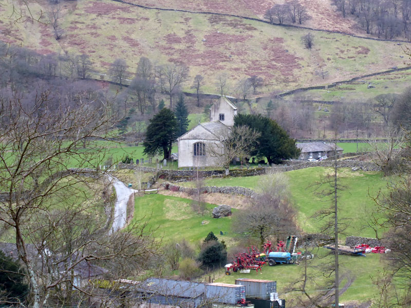
St.Cuthbert's Church, Kentmere
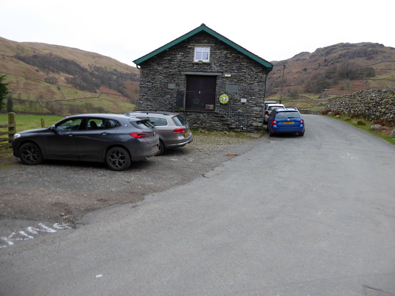
Kentmere Parking
Walkers: Peter, Me n' Molly
Time taken: 8hrs over distance of about 13 miles.
Route: Kentmere village, Rook Howe, round Calfhowe Crag, Kentmere Reservoir, Ill Bell via north-east ridge, Froswick, Thornthwaite Crag, Mardale Ill Bell, Nan Bield Pass, Kentmere Pike, Shipman Knotts, Garburn Pass, High Lane, Kentmere village.
Weather and Conditions: Cloudy throughout and cold on the tops where there was a light breeze.
Greetings: Nil until the ridge close to Froswick and then very quiet all the way round. Friday's the new Saturday for me!
Refreshments: On the way home, we called in at The Watermill in Ings on the A591. We came here back in Febraury last year and were not disappointed. We sat at the same table quite near the bar. In the event an ever-growing group of after-work (or play) drinkers camped in the "compost corner" next to the bar and rather disturbed Molly and hence us. In hindsight, we'd have found a table further away from the bar. It's a great pub with good food and the prescence of locals enjoying themselves is nothing but an encouraging sign.
Another walk from Kentmere Church: Kentmere Pike - just about 7 years ago when the winter's were longer and the sun was shining!
Kentmere Pike Trig Point
All photos copyright Richard Ratcliffe 2023 ©
Take me back to the start ....