
~Bleaberry Fell~
18th August 2011
I have to admit that this is an unusual choice for a day's Lakeland walking. Some may wonder why I made this choice, keep wondering...
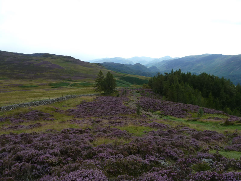
Bracken Riggs
Scroll down for photos and a description of the walk....
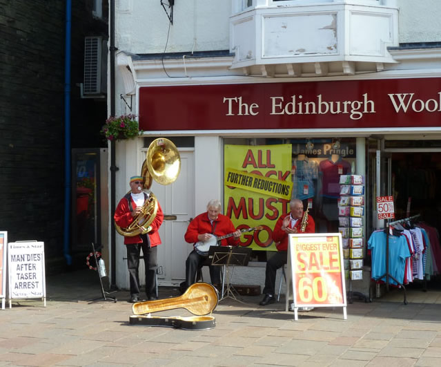
Musicians
This jolly trio were inviting donations outside one of the shops. Keswick was busy, market day and lots of tourists. I had caught the bus from Braithwaite to Keswick, so as to avoid parking issues and to enable a circualr walk back to the town. The walk itself started from outside Booth's at 10:50hrs, somewhat later than usual for me.
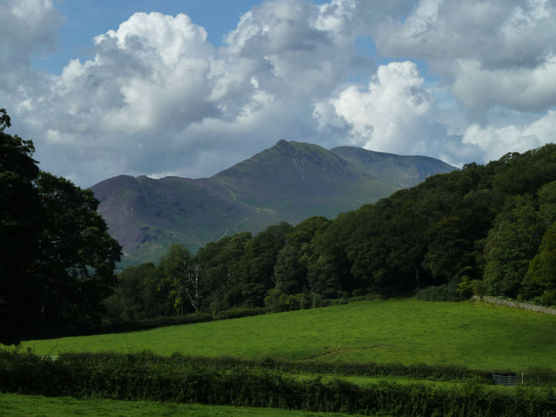
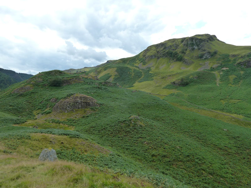
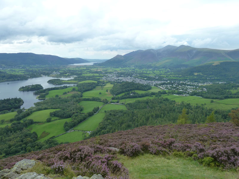
Causey Pike
This photo taken from Springs Road shows the path I took the previous evening on my way down from Causey Pike. I am a keen follower of Wainwright's Books and I spotted his route up Bleaberry Fell on Page 6 of that chapter in Book Three. This first part of the walk is not described in his account, but I wanted to have a look at a couple of campsites.
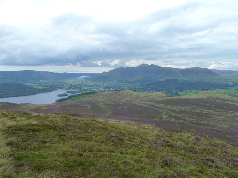
North-Western Fells
One feature of this summer's weather has been its unsettled nature. But how many hazy, bad-for-photo days has there been? Not many.
 |
 |
Walla Crag |
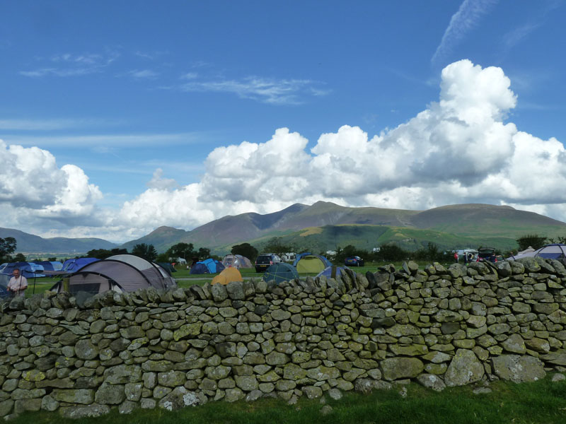
Castlerigg Campsite - but "Hall" or "Farm" |
 |
 |
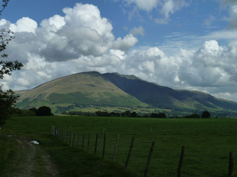
Blencathra |
High Rigg |
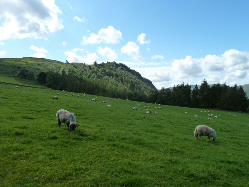
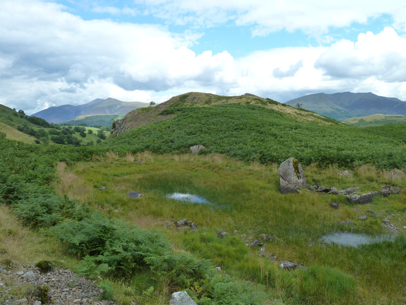
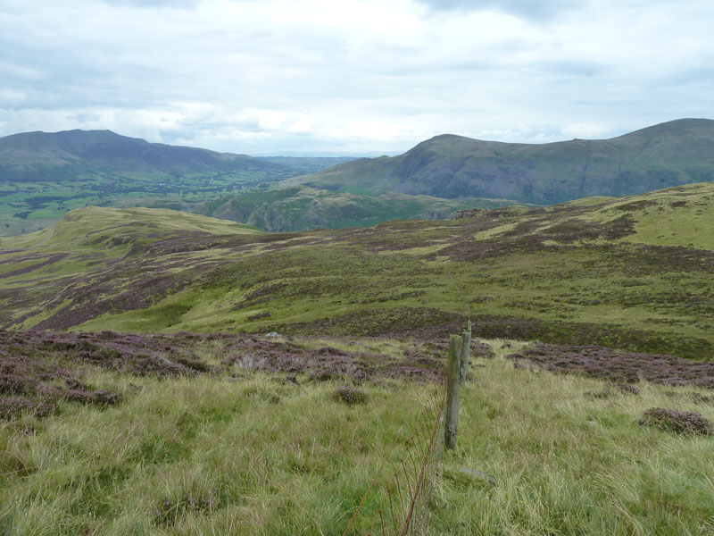
Views on the Walk
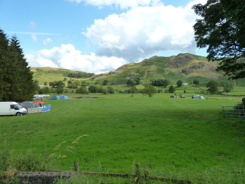
I found the Castlerigg Campsite, but it turns out there are two: Farm and Hall. Can anyone tell me which one this is - it's the more southerly of the two and I think it will be "Farm". It looks like a fine place to pitch a tent, quite level and great views. My walk joined the A591 for a short distance on Nest Brow and then into the fields for Dale Bottom.
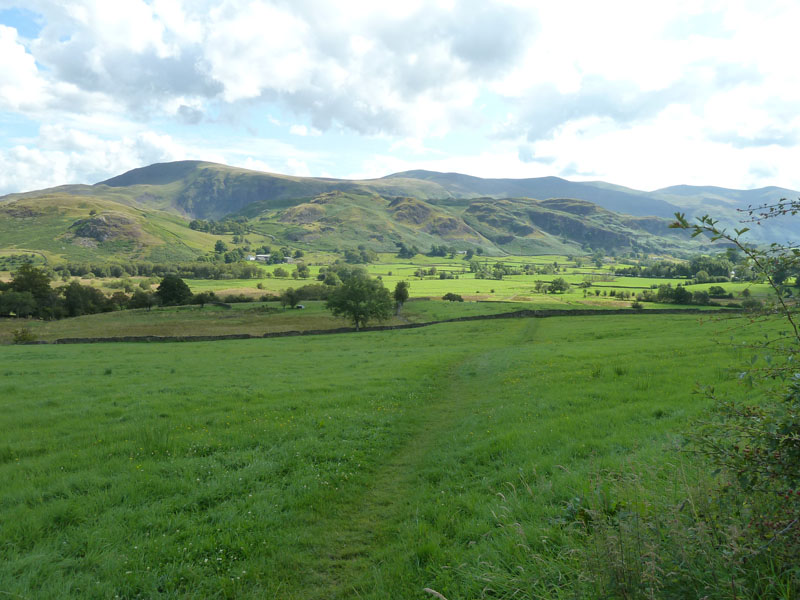
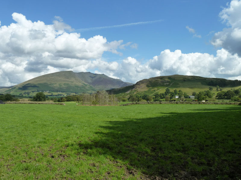
Dale Bottom
There are little bits of Lakeland that don't feature in Wainwright's books. I'm in one here, pleasant valley walking to Dale Bottom. High Rigg in the background.
 |
 |
Blencathra and Low Rigg |
Dale Bottom Campsite |
Dale Bottom Views
Another campsite I wanted to take a look at. Looks OK, maybe another one for me to try out one day.
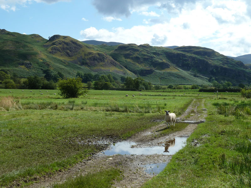
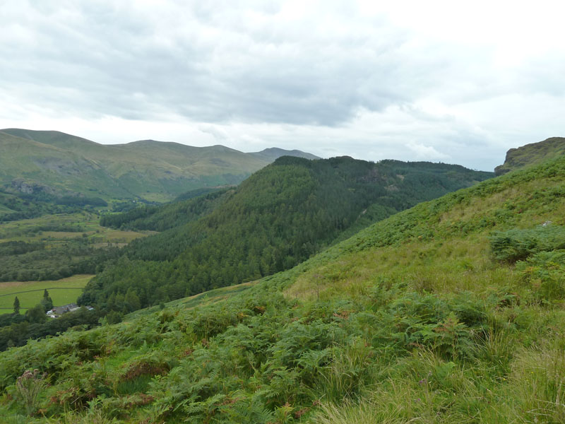
Snipes How
This is where things began to go wrong. I spotted Snipeshow Tarn on the map, so I detoured up the slope (left). The tarn lacks water and was a disappointment.
Dodd Crag
Spot the tarn! Dodd Crag is part of Bleaberry Fell. Have you spotted something beginning with "B"?
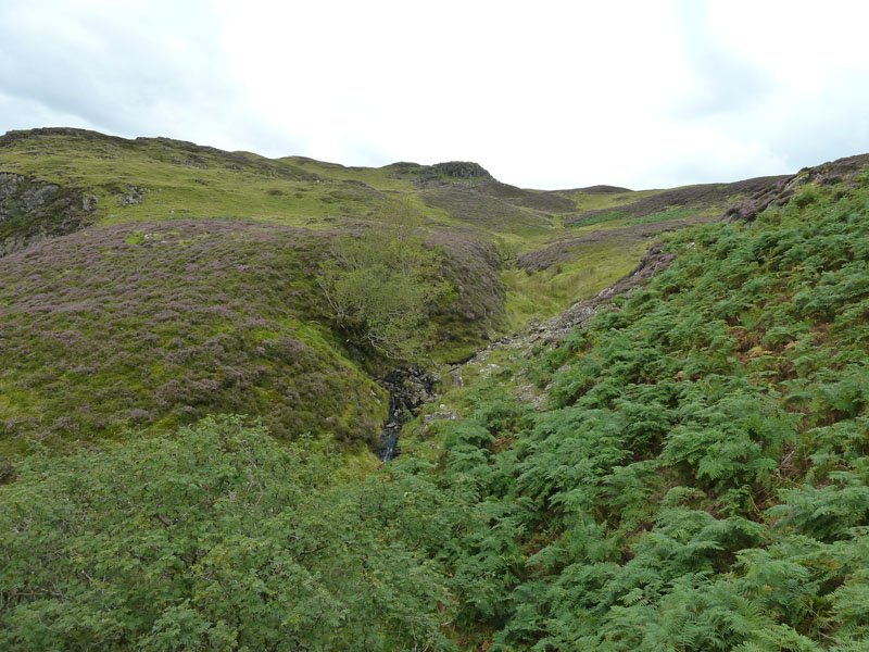
Snipeshow Tarn
Photos on David Hall's website, show the same with water. So are we having a dry spell? Or is it silting up?
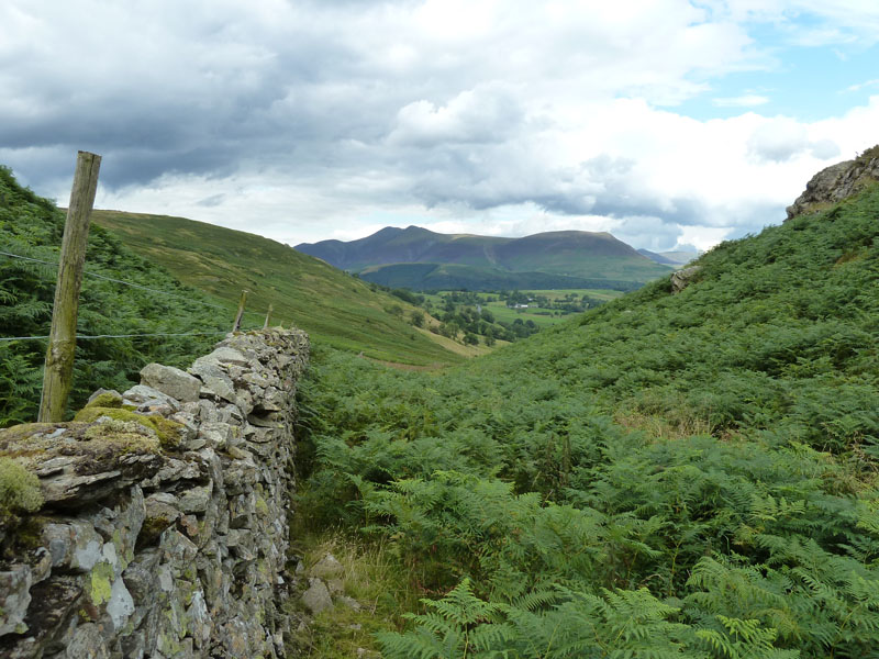
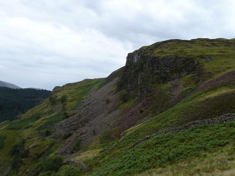
Bracken Riggs
"B" is for bracken - all over the place. I lost the path from Snipeshow Tarn and got rather frustrated trying to get through the bracken. Then it got worse as nettles had infilrtated the braken and to avoid such I climbed over the wall and started climbing the fellside.
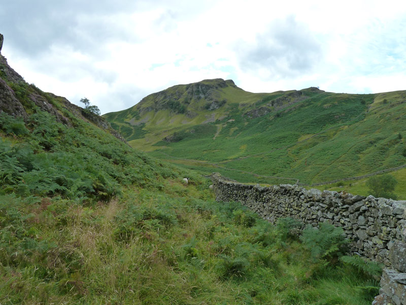
A591
The Wainwright route I'm supposed to be following is below the wall, but I had to get out of the bracken and this meant I had to make my own way. Suffice is to say I wasn't enjoying this bit and it's clouding over.
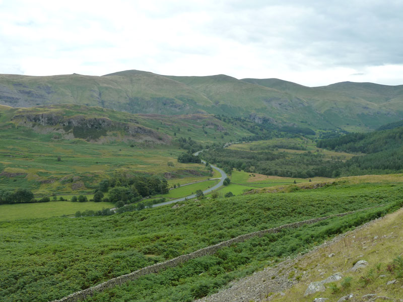
The Benn
The Benn is connected to Raven Crag, which in turn overlooks Thirlmere. I'm taking a route to put me above Goat Crag.
Goat Crag
Un-named Beck
This un-named water course on Bleaberry Fell was my chosen route towards the top of Bleaberry Fell, heather replacing bracken.
Bleaberry Fell
Looking back, with Dodd Crag on the left.
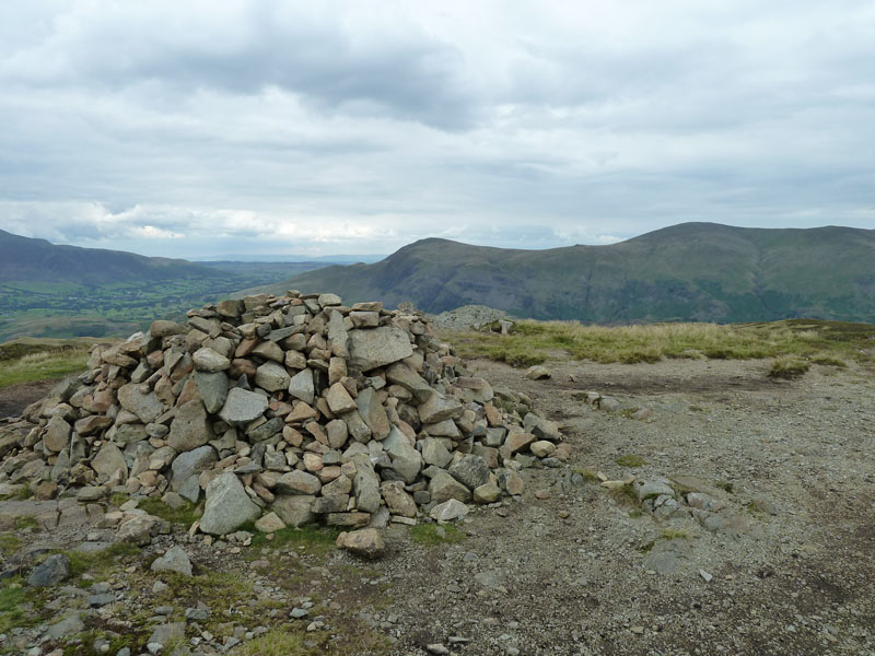
Bleaberry Fell Summit, 1932ft
At the top, I met a family of four who had walked from High Seat. "A penance for sins" said I and when greeted with blank looks I referred them to Wainwright and they were delighted to learn that they had bagged two Wainwrights!
Walla Crag
The route from Bleaberry Fell to Walla Crag is straightforward, but there is a boggy bit on the way.
Keswick from Walla Crag Summit - 1234ft asl
I have started putting the summit heights on my reports, taken from Wainwright's Books. So don't bother telling me if they are wrong according to more recent data.
Heather on Walla Crag
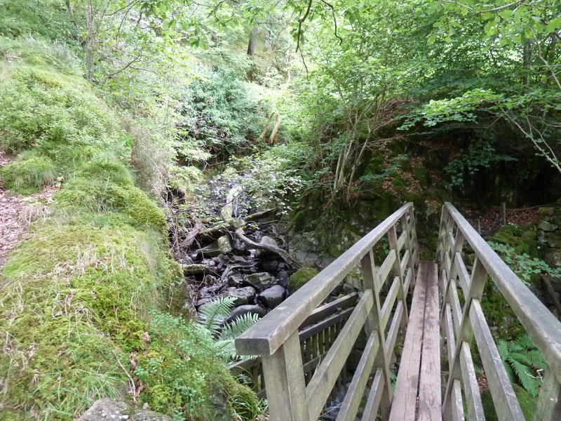
My plan was to walk off in the direction of Watendlath, even though it was getting a little late in terms of getting a cuppa and a bus back from the little hamlet. However, I met Jo Hall and her dogs near Cat Gill and we decided to walk to Ashness Bridge.
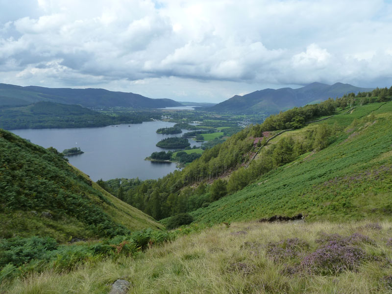
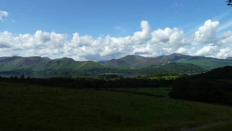
Derwentwater
The sun is coming out again and we are rewarded with a fine view of Derwentwater and Bassenthwaite Lake.
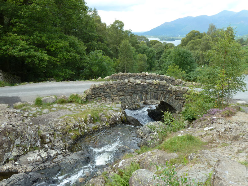
Ashness Bridge
Lots of tourists just out of view. It's a rare chance to get a photo of the bridge without any folk or cars in view. You've been here, haven't you? And you took a photo!
Great Wood
I walked with Jo to her car and was offered a lift back to the tent. Result! And we found somewhere for a brew.
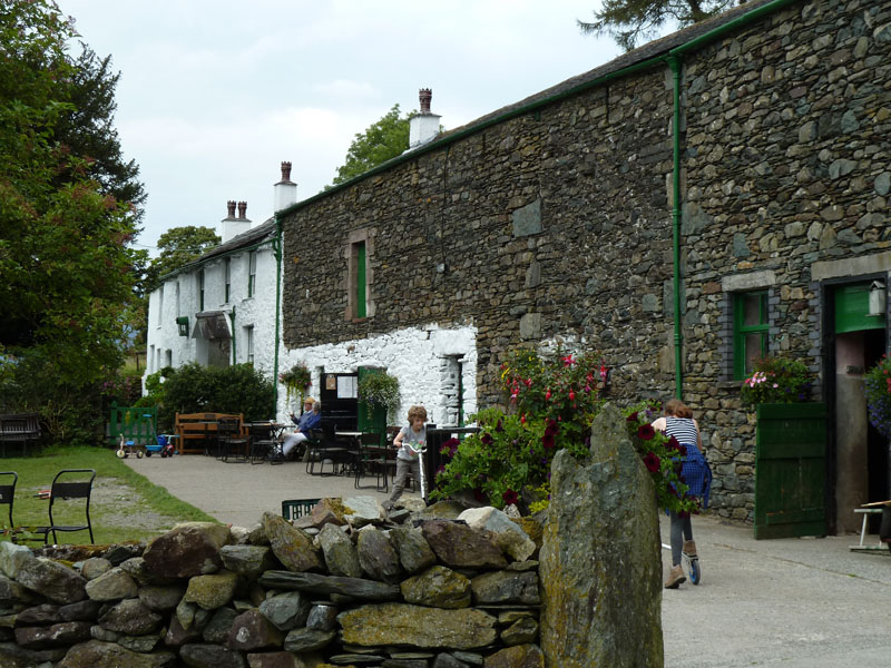
High Lodore Farm
Walkers: Just me, for most of the way.
Time taken: 5hrs 40mins over a distance of about 9.5 miles.
Route: Keswick bus station, Springs Wood, Castlerigg Campsite, Nest Brow, Dale Bottom, Snipes How, Bracken Riggs, Bleaberry Fell, Walla Crag, Ashness Bridge to Great Wood carpark.
Weather and conditions: Sunny start, overcast midday, sunny again later on.
Greetings Count: Lots of folk around Springs Wood and Castlerigg, then a couple near Dale Bottom and after that it was the family on the top of Bleaberry Fell. Walla Crag was quiet and the path to Ashness Bridge was not too busy.
Richard's Refreshment Review: Coffees at High Lodore Farm. Room for about eight cars and they serve a good snacks menu. They close at 5pm - ish, depending on how it's going.
Now, why did I do that walk?
All photos copyright Richard Ratcliffe 2011 ©
Take me back to the start ....