
~ A Coledale Round~
6th February 2010
One of the reasons why, after many years on and off the fells, I haven't visited all the tops given the Wainwright treatment is the fact that I have favourites and make sure I don't neglect them for too long. So after no ascent of Grisedale Pike since April 2007, I decided it was time to head for the NW fells and take advantage of another fine Saturday.....
Grisedale Pike Summit
Scroll down for photos and a description of the walk
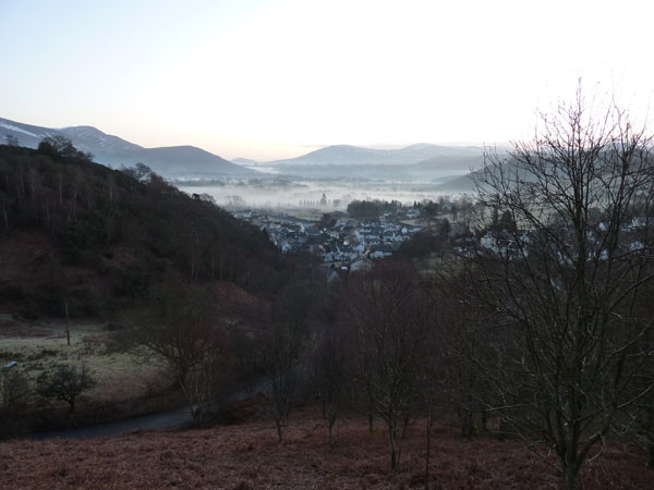
Braithwaite at 08:00
When I was choosing a website name I considered including Saturday in the title as most of my walks occur on that day. Some weather quirk cleared the skies of the Lake District today whilst much of the rest of England was affected by grey skies and murk. Early morning mist is retreating and I'm heading for Kinn.
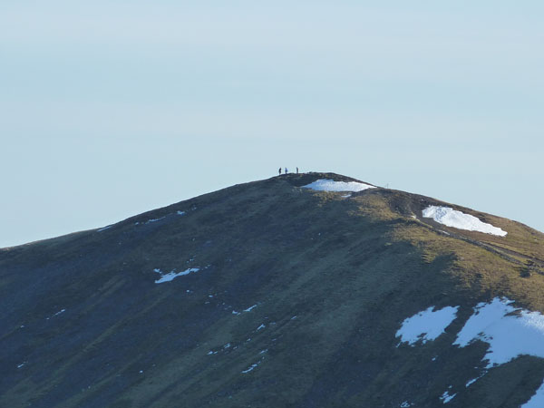
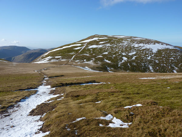
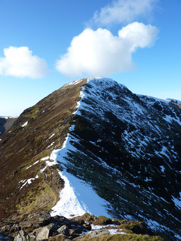
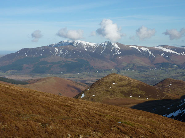
Grisedale Pike from Kinn
GP is a regional favourite of mine. I've climbed it several times once my nagged conscience was satisfied. There's ridges all around except for the steep slope down to Coledale on the SE side. Force Crag is an interesting place but not on the agenda today.
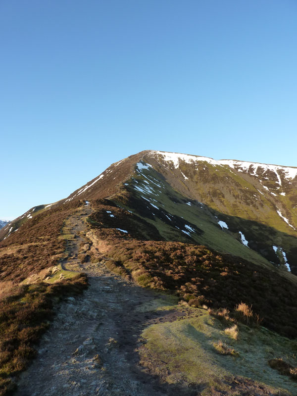
The Final Ascent of Grisedale Pike
It took an hour and a half to get to the top from the car park, no one else about. Very warm work.
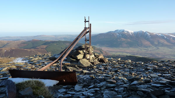
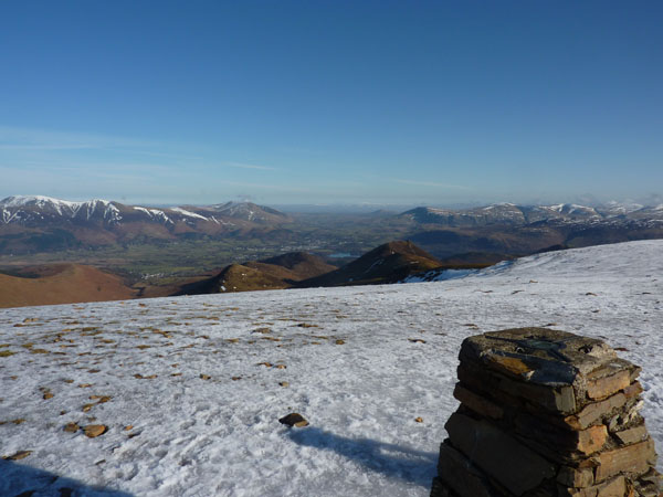
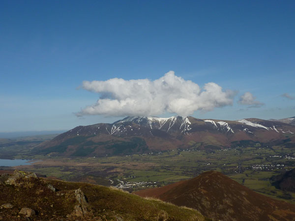
Skiddaw
Good to get some mountain furniture in the foreground, note the abscence of cloud on Skiddaw, see later.
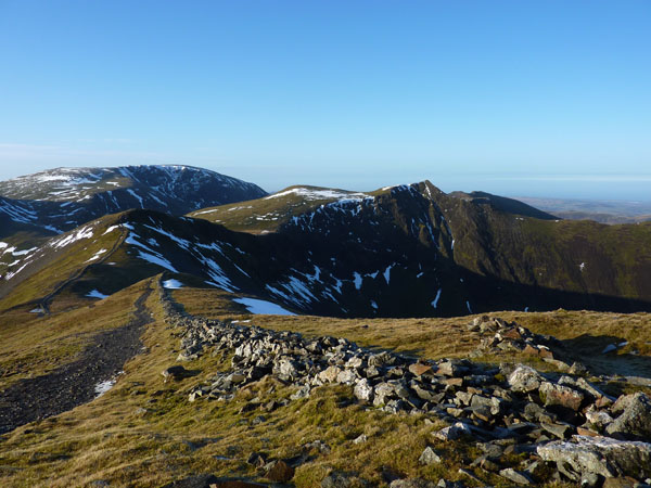
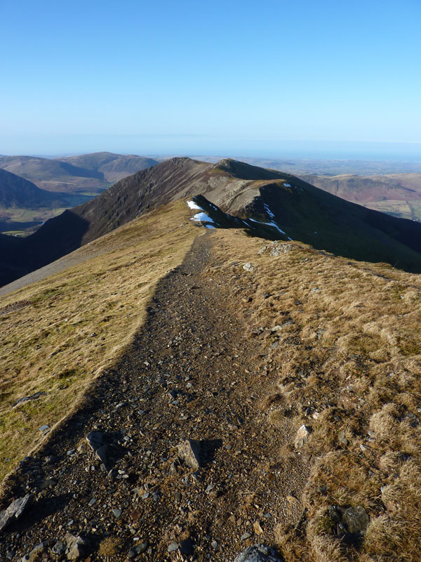
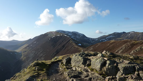
Hopegill Head from Grisedale Pike
An easy to follow route from GP to HH, map and compass safely stowed in the rucksac.
Looking Back to Grisedale Pike
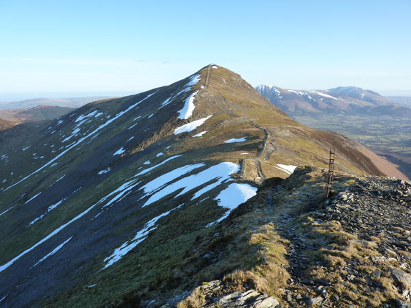
Hopegill Head
Plenty of hard snow has survived on the North-facing slopes and The Notch is marked by a collection of snow. Ladyside Pike is in the corner of the photo. Still no one about.
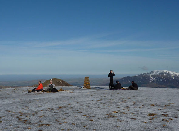
Lowry Characters on Grisedale Pike
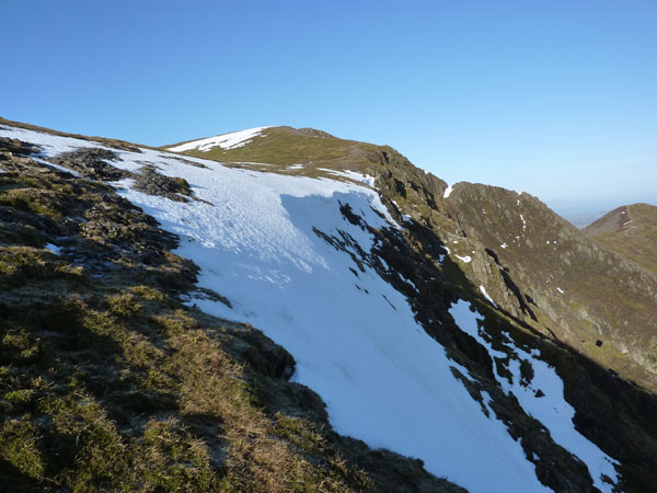
Whiteside from Hopegill Head
I had no intention of going along the ridge to Whiteside, but it was still only 10:35 and on a day such as this it would be a shame not to use every minute available in the best possible way. So, it was off to see Crummock Water and Mellbreak.
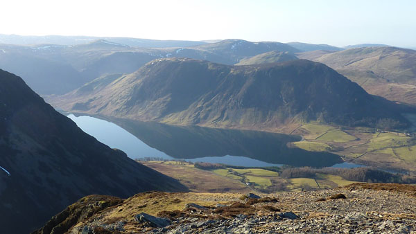
Mellbreak and Crummock Water
Just before this photo was taken I met another fellwalker for the first time today, 3 hours after leaving the car. I had to politely ask him not to walk off with my rucksac which I had left half a mile further back, thinking there was no one about.
Hopegill Head from Whiteside
On my way back to Hopegill Head, rucksac recovered. The diversion added two and a bit miles to the tally, but, as others, have said, it's not a bad way to spend a little time.
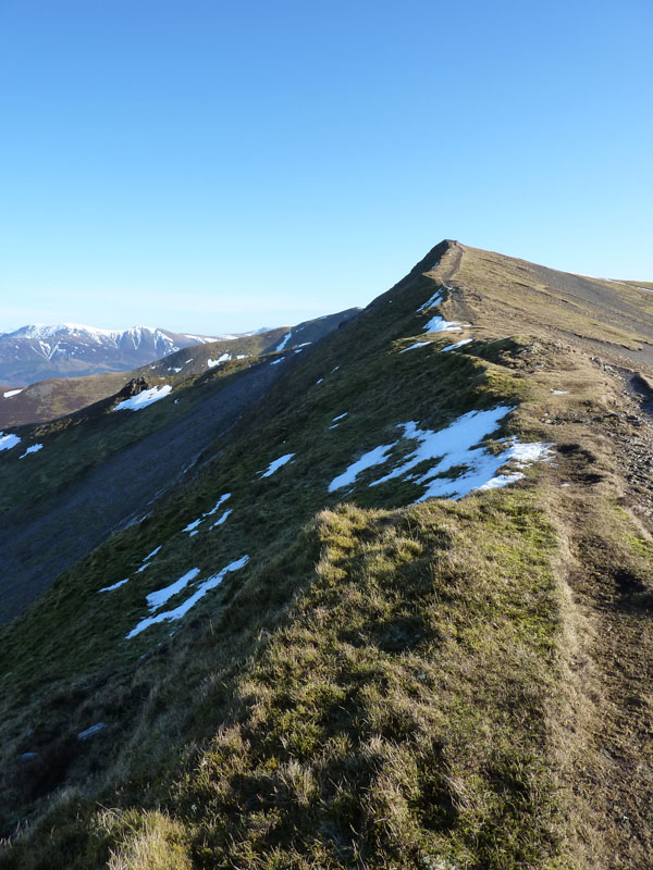
Whiteside
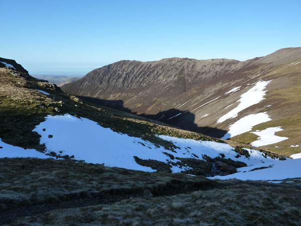
The flow of photographs in this report has been interrupted by a walk from Hopegill Head over Sand Hill and down to Coledale Hause - directly into a low sun, not so good for the photos. That's Whiteside over there and all the drainage from here goes down Gasgale Gill hiding under Grasmoor's shadow.
 |
 |
|---|---|
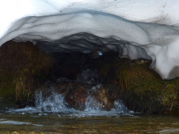
Water under Ice |
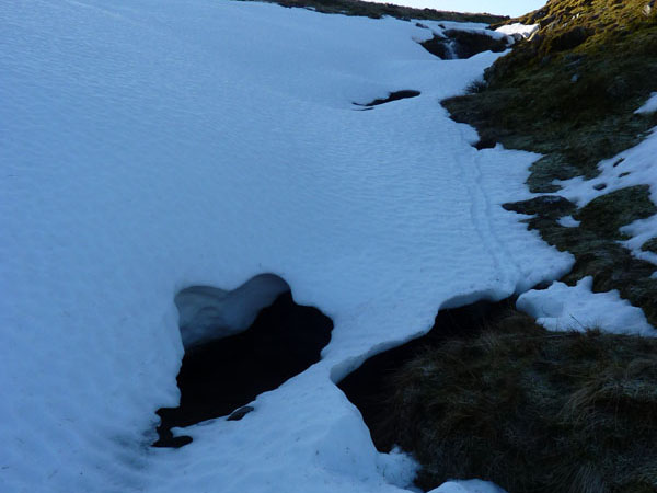
Ice over Water |
There's never much water on a walk dominated by ridges and edges, so when I heard water, but couldn't see it, I went to investigate and here the water has settled on a route under the hard frozen snow.
 |
 |
|---|---|
Wandope |
Grasmoor |
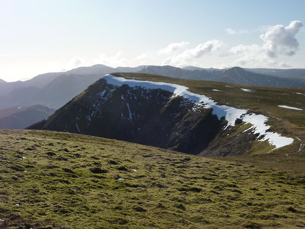
Eel Crag Summit
Two small parties have found lunch spots on Eel Crag, it's a very icy surface on this, the second highest summit in the NW sector. Grasmoor may be higher, but the views from here are better, in my opinion.
Eel Crag Trig
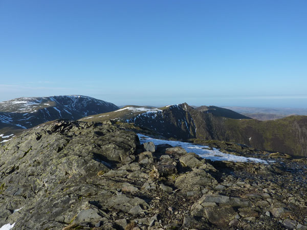
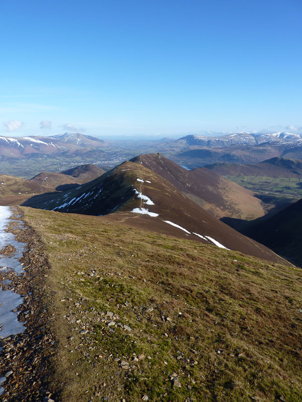
Sail and Others
Well, there's too many to mention, Causey Pike is the final target for today, which is, if you're not familiar with the territory, the one beneath the little grey suggestion of cloud.
Looking Back up Eel Crag
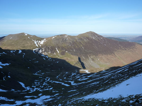
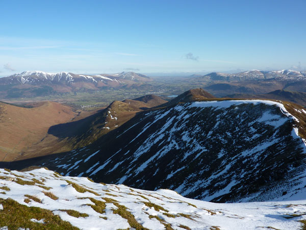
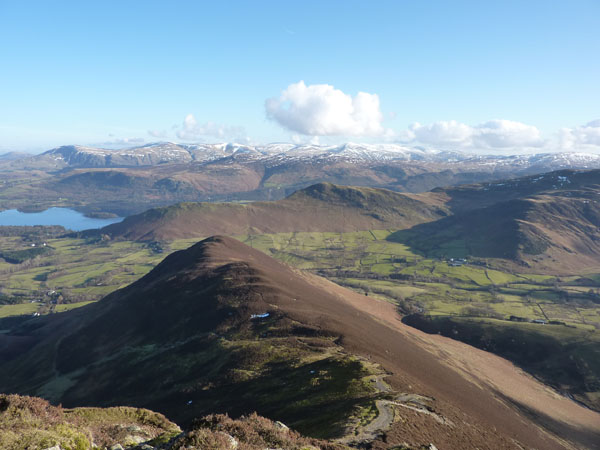
Hopegill Head and Grisedale Pike
Force Crag casts a dark shadow, it's always good to see where I've been walking earlier in a day.
Sail to Scar Crags
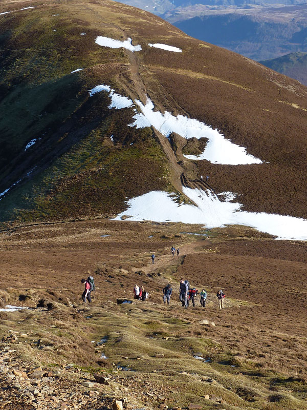
Lots of Ascenders
(1st Sept 2010) This path from Sail to Scar Crags has now been "repaired", see Simon Howard's photo from 25th August 2010.
Clouds queue up for a look at Skiddaw
Scar Crags Summit
According to my notes, this was my first visit to the top of Scar Crags, but that's a bit of a mystery as every other of this local group of fells had a tick next to it. Still, it's best to make sure.
Scar Crags, Sail and Eel Crag
Here I am on top of Causey Pike, my 8th summit of the day. I'm counting Hopegill Head twice for good reason, but maybe it should be 9, where does Kinn stand in everyone else's lists? AW wasn't impressed.
Skiddaw Clouds
For some meteorological reason, the queueing clouds have merged on top of Skiddaw, providing an interesting sight. It would be good to see someone else's photos from Skiddaw if they were up there today.
Rowling End
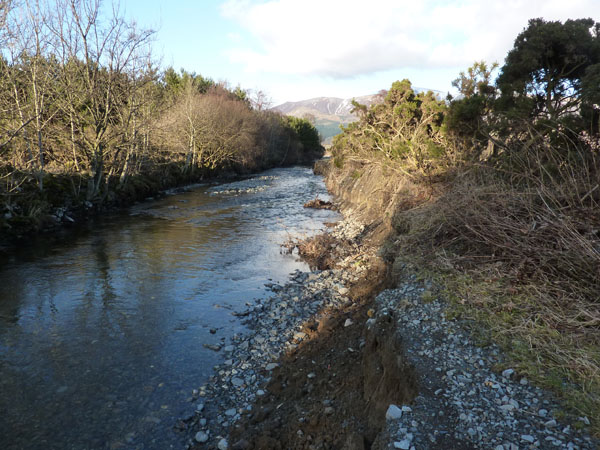
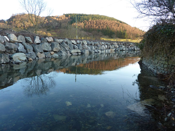
My way down was off to the left, not to the point of Rowling End. The steep descent took me down to Stonycroft Bridge and then I went off to Uzzicar Farm for a walk along the river bank back to Braithwaite. A sign warns of an impassable route along the river path due to flood damage, I thought I'd check it out. Follow the next sequence of photos and see if you can work out what happened along the way...
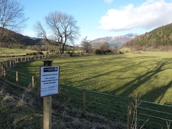
Really?
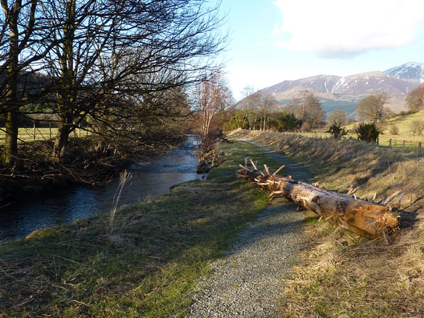
Who Put That There?
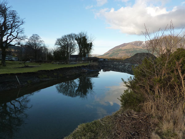
Where's It Gone?
See David Hall's photos of times gone by, a valuable archive.
Reinforcements
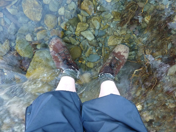
You got it, the path has washed away, the river is now much wider, the Little Braithwaite Bridge is no more, major works have started, there is no way across the river - desperate times, desperate measures. The alternative was to go back or try to find a way to the A66. Well, I didn't have far to go and I keep a towel and spare stuff in the car.
Well that was a good one, I hope you found the time to follow the full story. I like these fells: ridges, edges, views, miles and miles of good walking, happy days.
Walkers: Just Me
Time taken: 8hrs over a distance of around 12.5 miles
Route: Braithwaite, Kinn, Grisedale Pike, Hopegill Head, Whiteside, Hopegill Head, Coledale Hause, Eel Crag (via the col), Sail, Scar Craggs, Causey Pike, Uzzicar Farm, the river, Braithwaite.
Weather and conditions: Blue skies all around, apart from summit-clinging friendly clouds.
Greetings Count: Low to the summit of Eel Crag, a bit hectic on the way down to Sail Pass.
Richard's Refreshment Review: I called in at Wilf's at Staveley. Maybe well known to many, but I didn't realise the 5pm prompt finish. I find this place useful when I've been to the N.Lakes as it provides a break after 30/40 minutes driving.
Comments can be passed to me via the contact link at the foot of the "About Me" page.
All photos copyright Richard Ratcliffe 2010 ©