
~Thieveley Pike~
17th December 2011
Increasingly familiar territory to the south-east of Burnley town centre, Thieveley Pike is far less attractive than Pendle Hill to the eye, but offers better views across our Northern town. This was not my Plan A for today, but it worked out quite well in the end.
Thieveley Pike Summit
Scroll down for photos and a description of the walk....
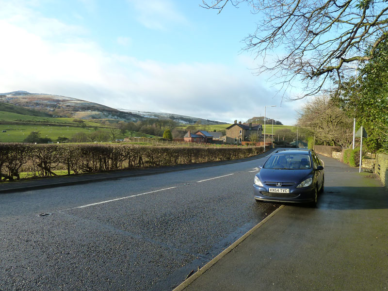
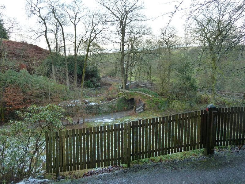
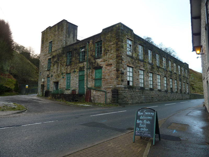
Holme Chapel
Holme Chapel is one of several Cliviger villages. This is the main road to Todmorden from Burnley (A646). Roadside parking seemed appropriate on this occasion. It's 13:10hrs and everyone is wondering "why the late start, Richard?".
Looking Back
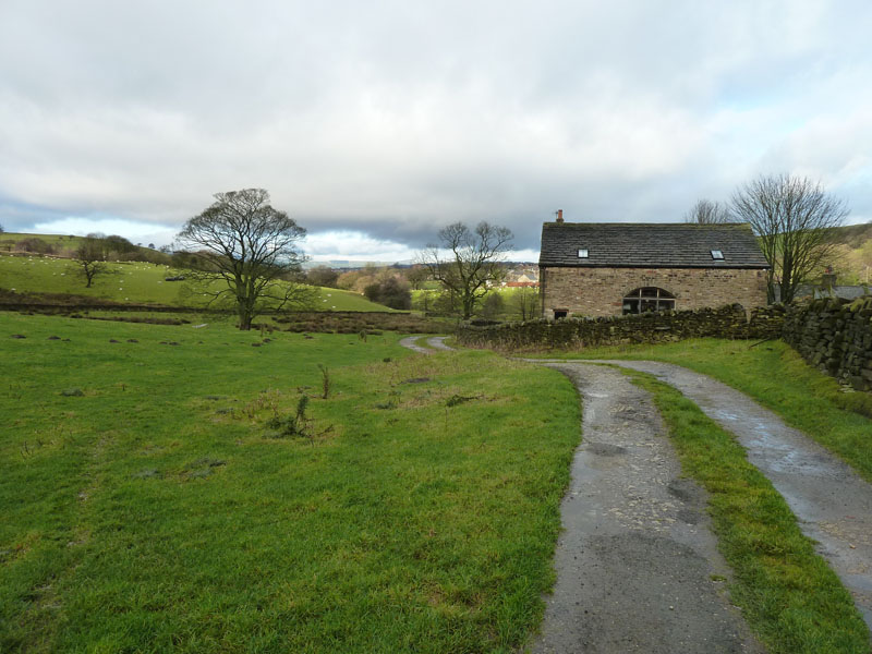
The start of the walk heads down a lane and then up to the railway line (behind me). The public footpath is through the farmhouse owner's garden - see the little nick in the wall on the right. They really want you to walk around their house, but I always make a point of using the direct footpath, it's our right of way!
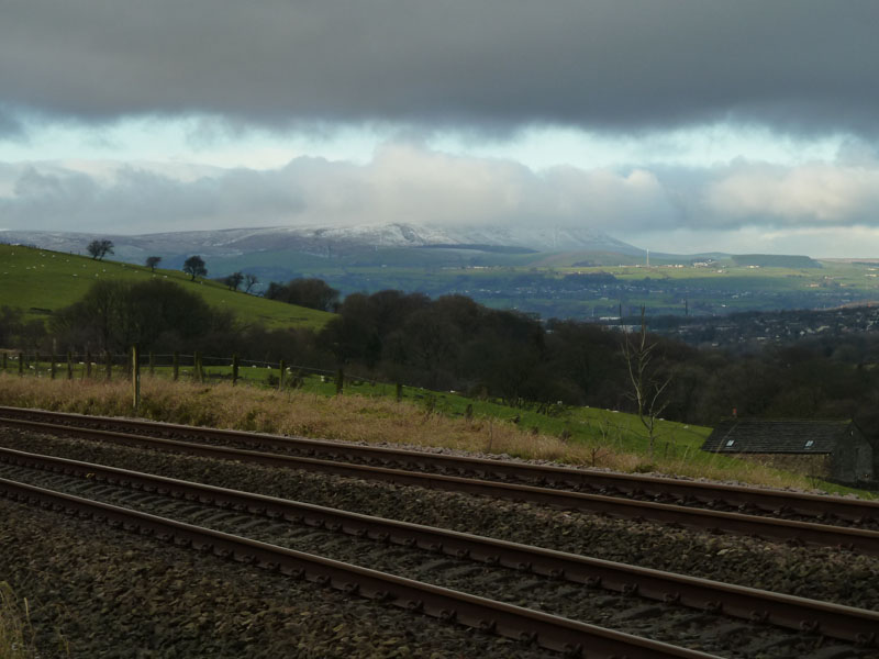
From The Lineside
Looking over the fence that protects the Hebden Bridge to Burnley line, Pendle Hill is in view and is displaying very similar characteristics to the day before when I was up there. Clouds settling at around 1600ft asl and capping the summit.
Doddbottom Wood
Doddbottom Wood, left, is private and my route goes up past Buckleys (house) and up on to the fellside via a very steep, stepped path.
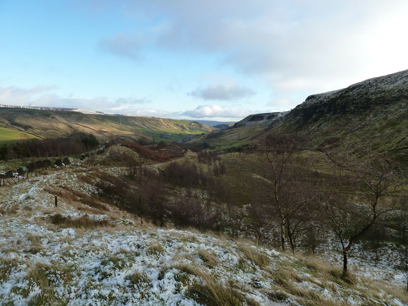
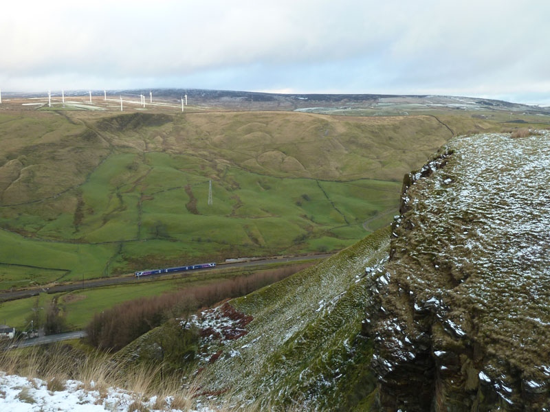
Cliviger Gorge
As height is gained, the views open up and this one looks past the truncated spurs of Thieveley Pike (right) and into the borderlands of the Lancashire / Yorkshire dividing line.
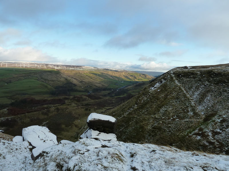
Dean Scout
Higher still and exposed tors are capped with snow.
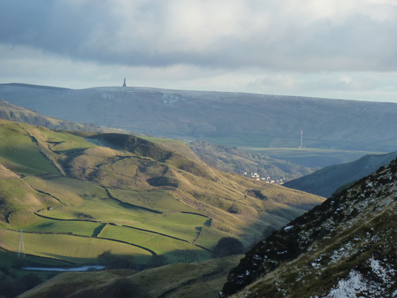
Whitaker Naze
Zooming in and Whitaker Naze is the lumpy, bumpy promontory beneath Stoodley Pike. A former resident of Portsmouth (W.Yorks - in the valley) found my website whilst searching for Whitaker Naze. Bryan recently visited the area from his home in Suffolk and we enjoyed a light lunch and talked about life in this part of the world and other important stuff. How rewarding for me! No, not the lunch, the feeling that all the hard work is appreciated and of some use to somebody.

Southward Bottom
See the man in blue - he was the only other person I saw on my walk today. SB is another of Cliviger's villages.
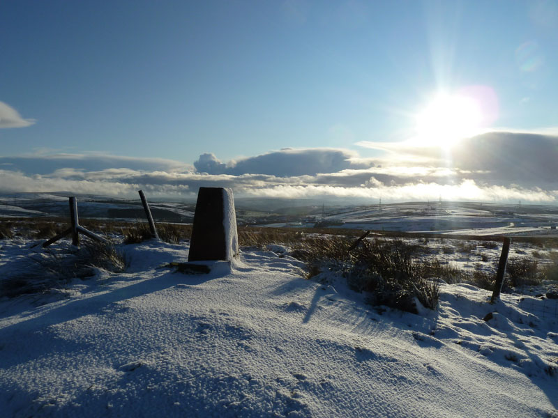
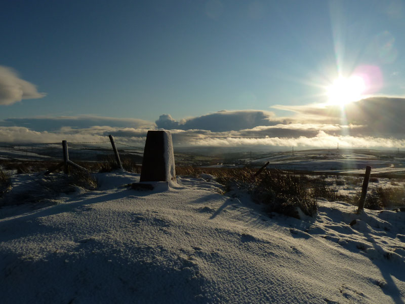
Thieveley Pike Summit 1474ft
Noted as a beacon site for warning of drama in years gone by. It's a mighty climb from Cliviger, a mere stroll for the residents of Water on the Rossendale side of the fell.
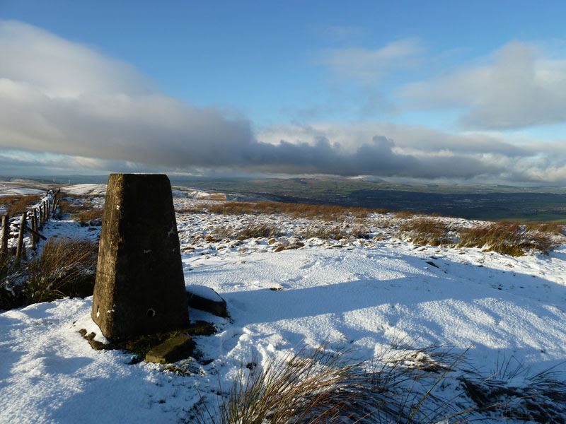
Thieveley Pike to Pendle Hill
My intention today was to travel to the Langdale valley of Lakeland. But at 6am, the avenue was coated with sheet ice and I couldn't stomach the drive with a constant fear of black, or any other colour of ice. By lunchtime the skies in East Lancashire brightened and so did I, boots on and a much shorter drive to this local destination.
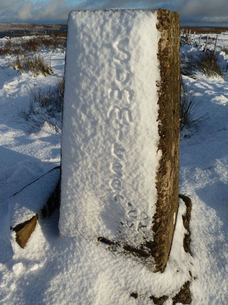
Here we go again....
Snow and graffiti without the spray paint. I think this is the first time I've defaced a trig point.
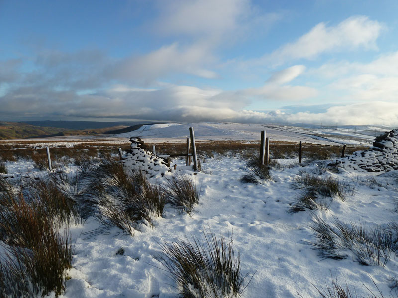
Thieveley Pike
The walk over the Pike was good fun in the snow, I'm heading for Portsmouth.
Ratten Clough
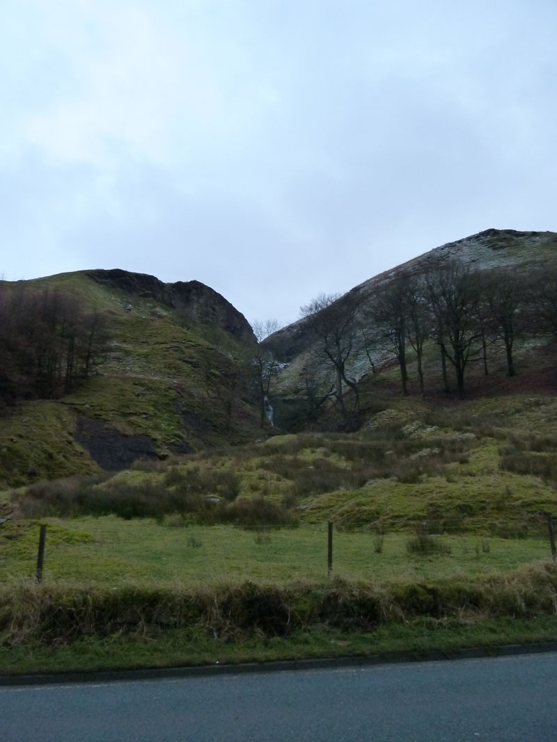
I detoured off the Burnley Way for a look at Ratten Clough, a waterfall and steep gorge on the side of the fell.
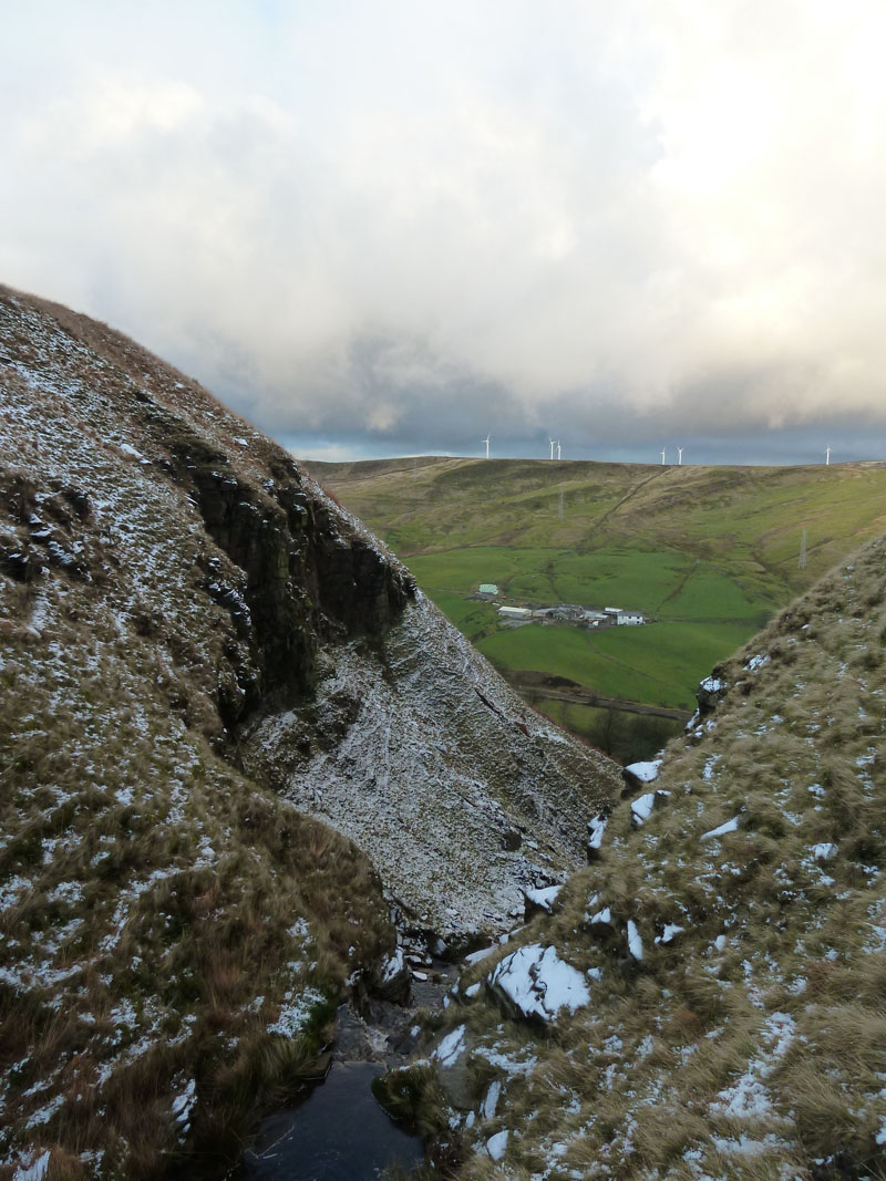
Not safe to go any further down this way!
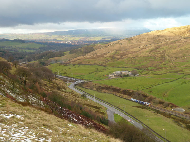
Cliviger Gorge
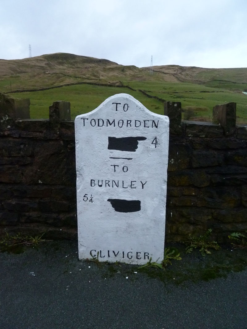
The road crosses the railway at the watershed. One might have thought that the county boundary would be on the watershed, but it isn't and us Lancastrians got a bit extra and the dividing line is further east.
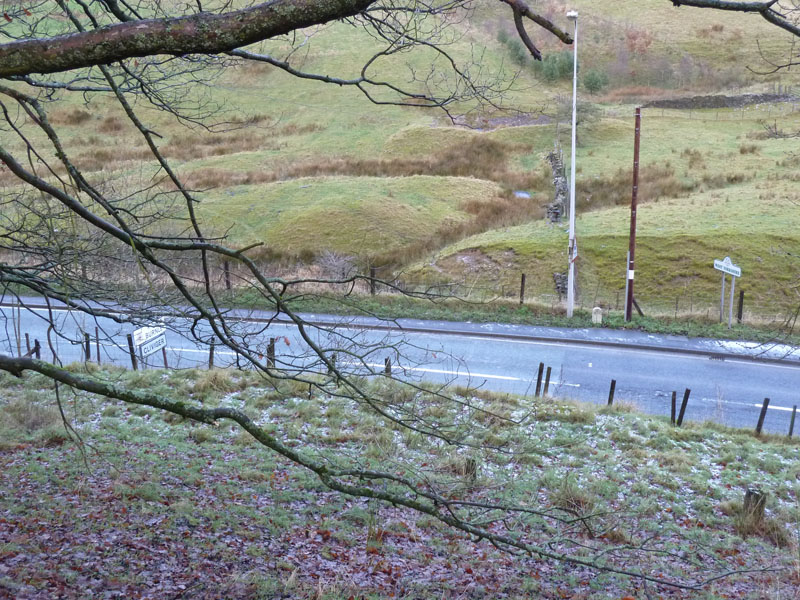
County Boundary
The roadsigns are slightly out of place. Can you see the ancient boundary stone between the lamp post and the telephone pole? You can even see a seam in the tarmac where responsibilites transfer. Lancashire to your left and West Yorkshire to the right (east).
Portsmouth Mill
This is the far point from the car and time for a coffee as advertised by The Roebuck Inn on my right.
 |
 |
Ratten Clough |
Locator |
On the Way Back
I could have caught a bus back, but chose to walk along the roadside in the fading light.
Walkers: Just me.
Time taken: 3hrs 15mins over a distance of about 6 miles, includes time spent in the pub.
Route: Holme Chapel, Doddbottom Wood, Dean Scout, Thievelely Pike, Ratten Clough, Portsmouth, along the road back to Holme Chapel.
Weather and conditions: Mainly sunny, but I was in the shade for much of the climb, cool not much wind.
Greetings Count: Nil
Richard's Refreshment Review: I swelled numbers in The Roebuck from zero to one and then the staff appeared when I rang the bell. Looks like a good little pub with an extensive food menu and I might try it during "food" hours to see what the tasty-looking menu items actually taste like. The owner insists that they offer good value and "don't count the peas". But he is a Yorkshireman!
All photos copyright Richard Ratcliffe 2011 ©
Take me back to the start ....