
~Dodging The Crowds~
30th July 2011
The campsites and car parks are full, "No Vacancies" signs adorn the guesthouse windows, the roads are clogged with daytrippers and holidaymakers. Striding Edge is full of "excuse-me's", Scafell Pike has standing-room only and the Japanese tourists have bought a shiny, new map in Grasmere and are trying to catch a Central Line tube train to Honsiter Pass. It's chaos, we need to find a quieter place.
Hobgrumble Gill
Scroll down for photos and a description of the walk....
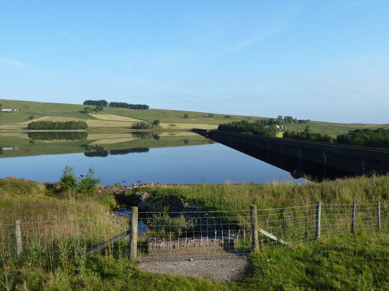
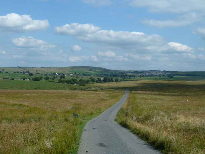
Wet Sleddale Reservoir
I met up with David Hall and we parked by the reservoir (above). Wet Sleddale sits in the most easterly reaches of the Lake District National Park and close to the village of Shap.
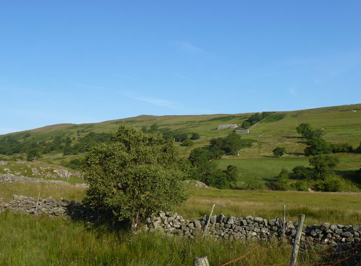
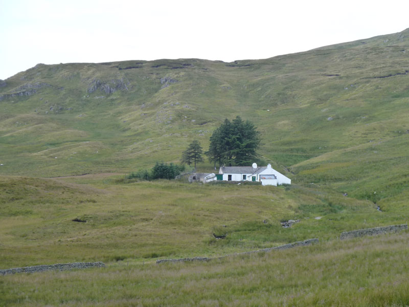
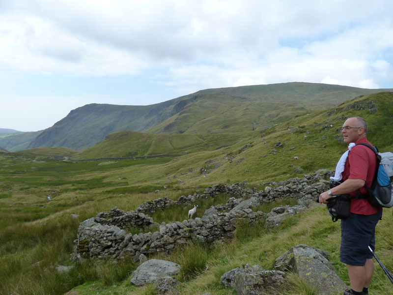
Sleddale Hall
Our route takes us up to Sleddale Hall on the fellside. I'll let you know when we eventually pass any other fellwalkers.
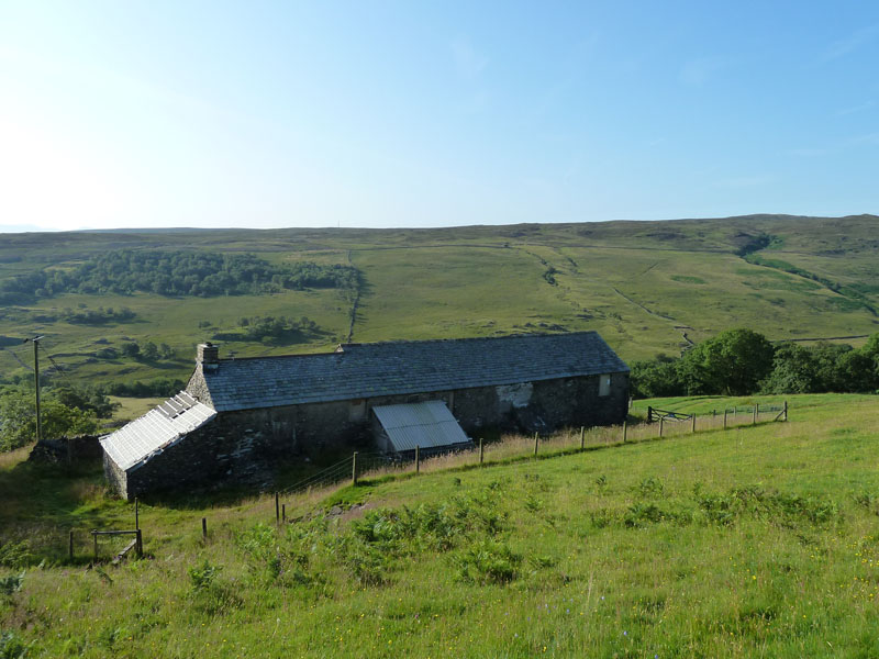
Sleddale Hall
Location for filming during 1987 title "Withnail and I" - not one I've seen. Our plan is to visit two of the named bumps in the vicinity, the first of which is Seat Robert. This happens to be one of Wainwright's Outlying Fells. His OL Fells book is written as walks, rather than fells and his route from Swindale to Seat Robert looks like a really good walk, on a fine day (of course).
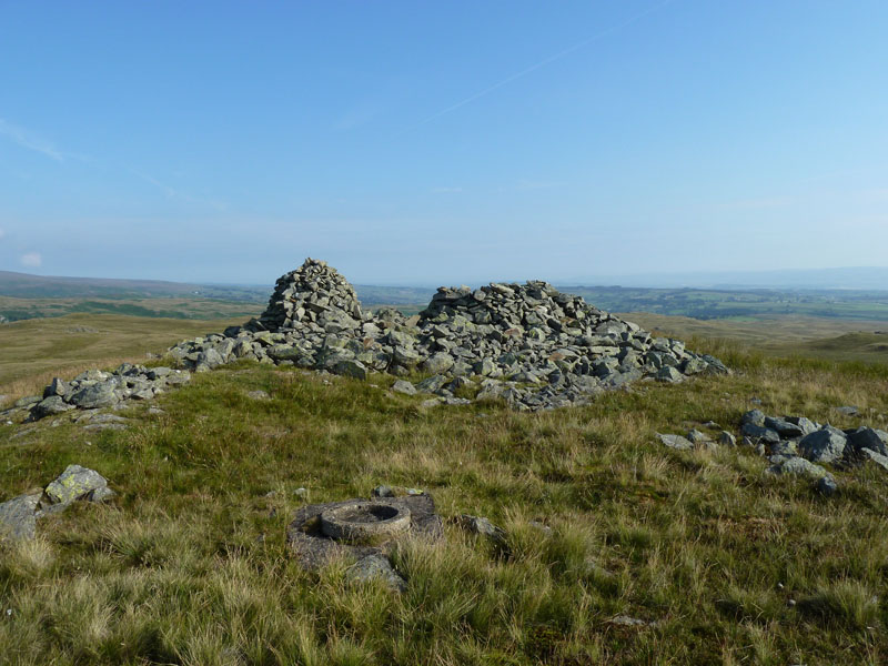
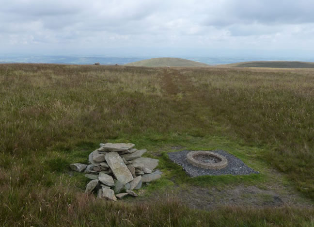
Seat Robert Summit
Open Fellscape
An uncluttered view of Lakeland's Far Eastern Fells. l-to-r Harrop Pike, Tarn Crag, Kentmere Pike, Branstree, Selside Pike, High Street (just), Kidsty Pike and High Raise.
Scam Matthew...
... is the name of this bump and the view up Mosedale opens up. Mosedale Cottage is the white building just beneath the old quarry.
Water Meetings
We crossed the Mosedale Beck at the bridge and made our way up to Mosedale Cottage.
 |
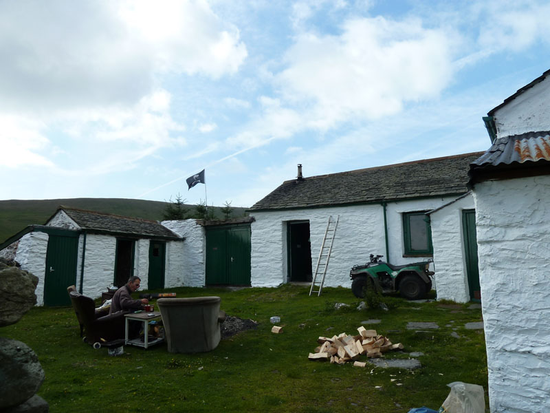 |
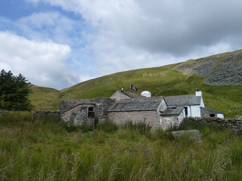
Mosedale Cottage |
Breakfast at the cottage |
 |
 |
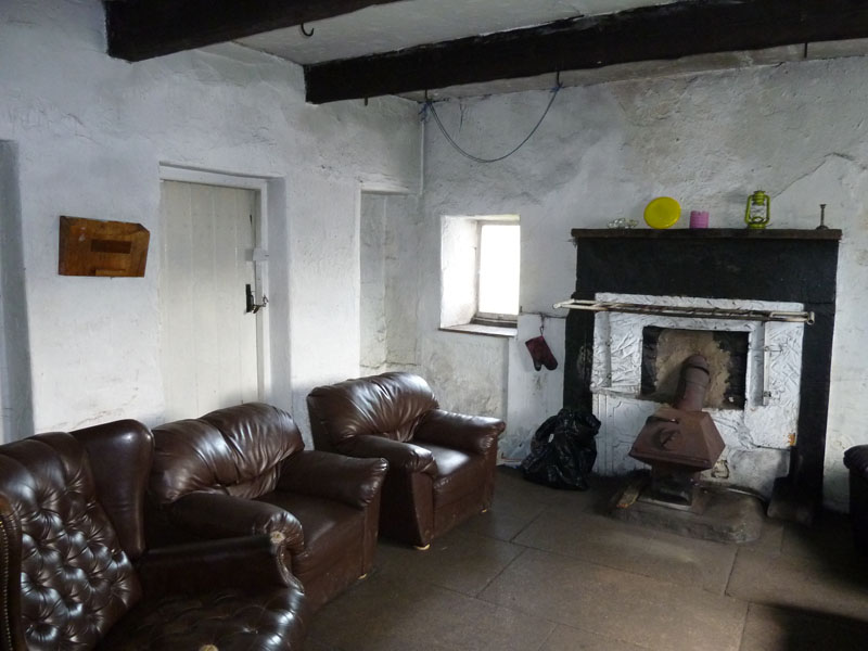
The Living Room |
Mosedale Cottage |
Mosedale Cottage
Mosedale Cottage is a mountain bothy. The man having breakfast is one of a team of two who like to spend their weekends up here and they look after the property. We headed up over the watershead and down into Brownhowe Bottom to pick up Gatesgarth Pass.
David and The Sheepfold
David can't believe his luck, a sheepfold with a sheep in it!
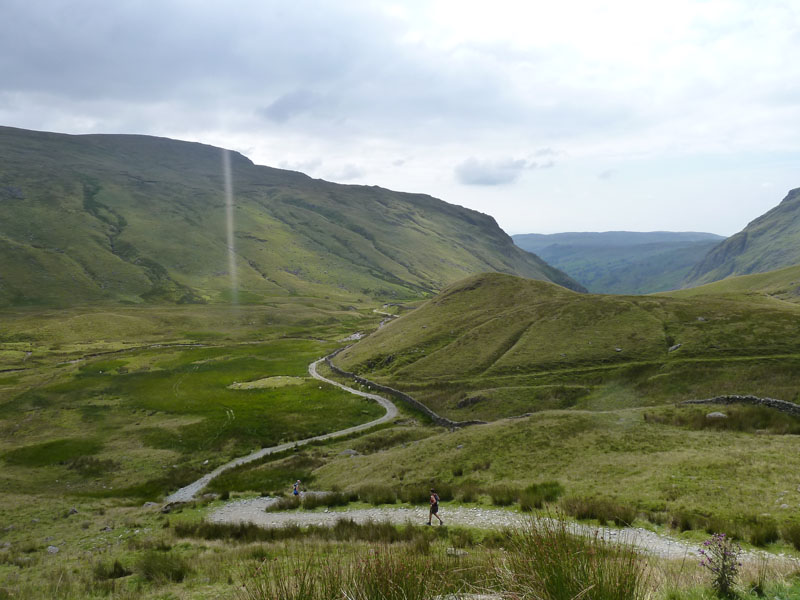
Gatesgarth Pass
We met the ancient right of way and climbed up to the head of the pass for an ascent of Branstree. A few runners dashed past us.
Branstree
The fence marks the boundary between the ancient Lowther and Howard estates (probably).
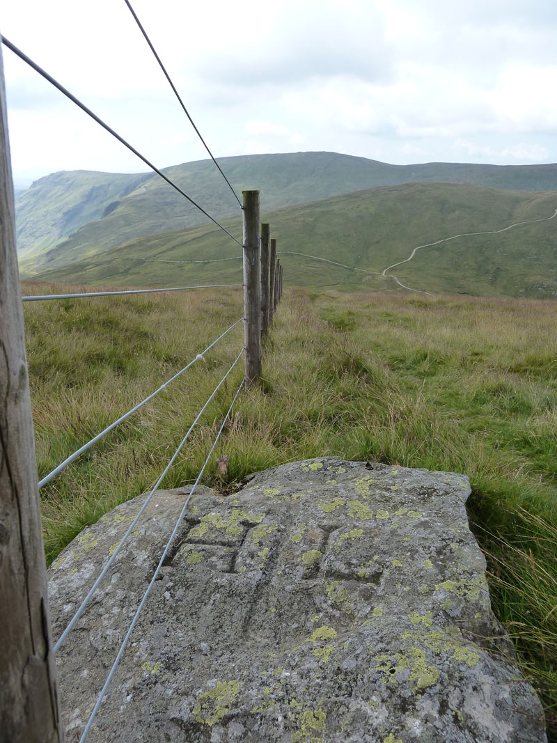
Boundary Marker
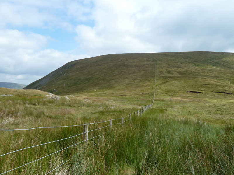
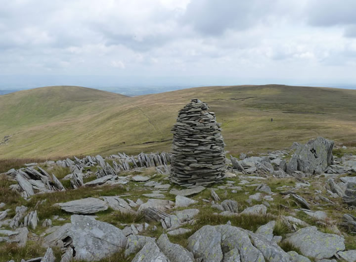
Branstree Summit
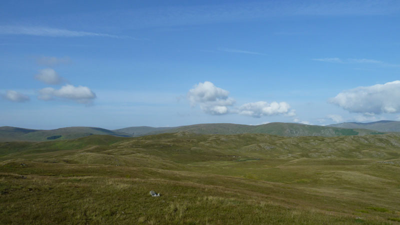
Selside Pike in the distance, that's where we're going next.
Artlecrag Pike
What a shame that this isn't at the summit of Branstree.
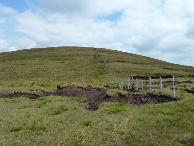
Captain Whelter Bog
Not every bog is named after a Captain! Very soon after this photo was taken, a fellwalker sauntered past us and nodded. Four and a half hours after setting off from the car park.
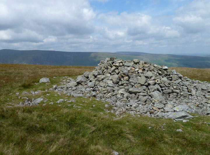
Selside Pike Summit Shelter
The highest point is just behind us. Lunch was taken here.
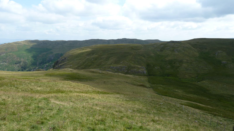
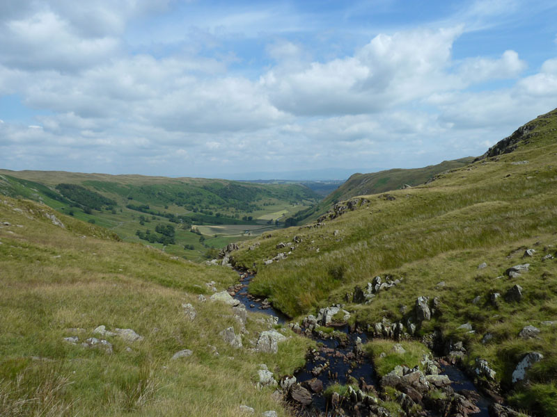
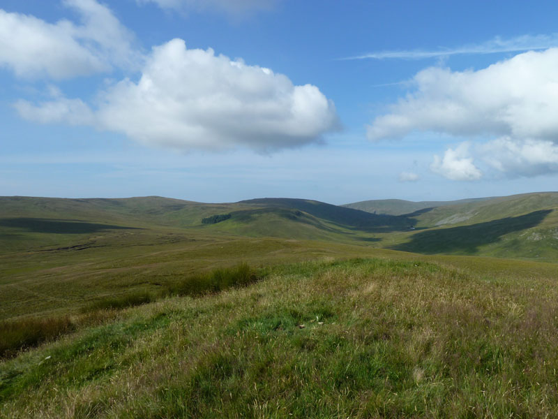
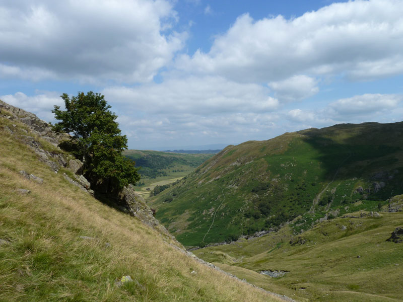
Nabs Moor
Our route took us down the fence line into the hanging valley which rests at the top of Hobgrumble Gill. It's an optical illusion, I'm sure, that the water to the right of the fence looks to flow into the combe, but of course it flows to the left and down the gill. The colour change doesn't help matters.
Hobgrumble Gill
Possibly the best-named water course in Lakeland? Two sandwich eaters were disturbed by the fellwaking camermen, they had found a great spot for lunch, overlooking Swindale. Bear in mind, if Manchester Corporation's covetous eyes had won the day, Swindale would host another reservoir feeding the pipes of the thirsty and unwashed, 100 miles away.
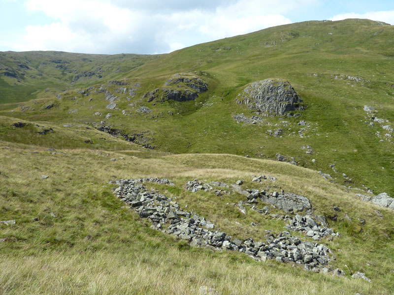
Enclosure
Evidence of an ancient enclosure on the Nabs Moor side of Hobgrumble Gill. Maybe a Roman refreshment hut. It's not mentioned on the map and sheepfold spotters are not interested.
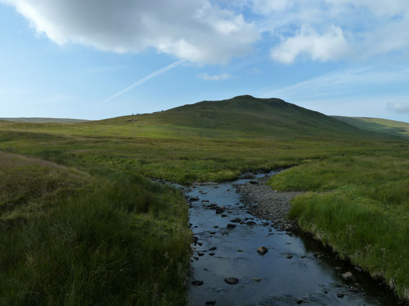
Swindale
Morraine is easy to spot, see how the infant Swindale Beck has found a route through the heaps of glacial deposits.
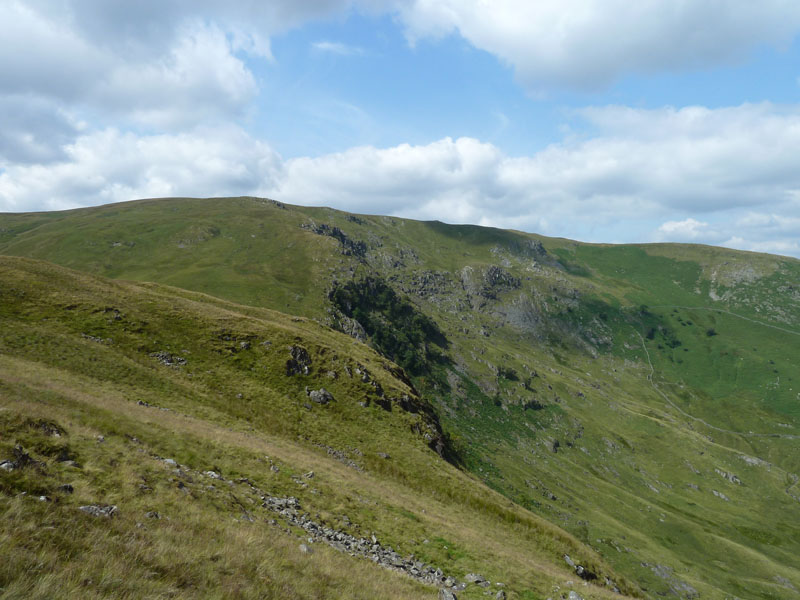
Geordie Greathead Crag
The eastern flank of Selside Pike has a feature marked on the map as Geordie Greathead Crag.
Nab Crag to Forces Falls
We will cross the path from Swindale to Mosedale and head for the top of the falls, marked as Forces Falls on the map. I'd warned David that I would take a dip if time and weather allowed - we have time and it's warm enough....
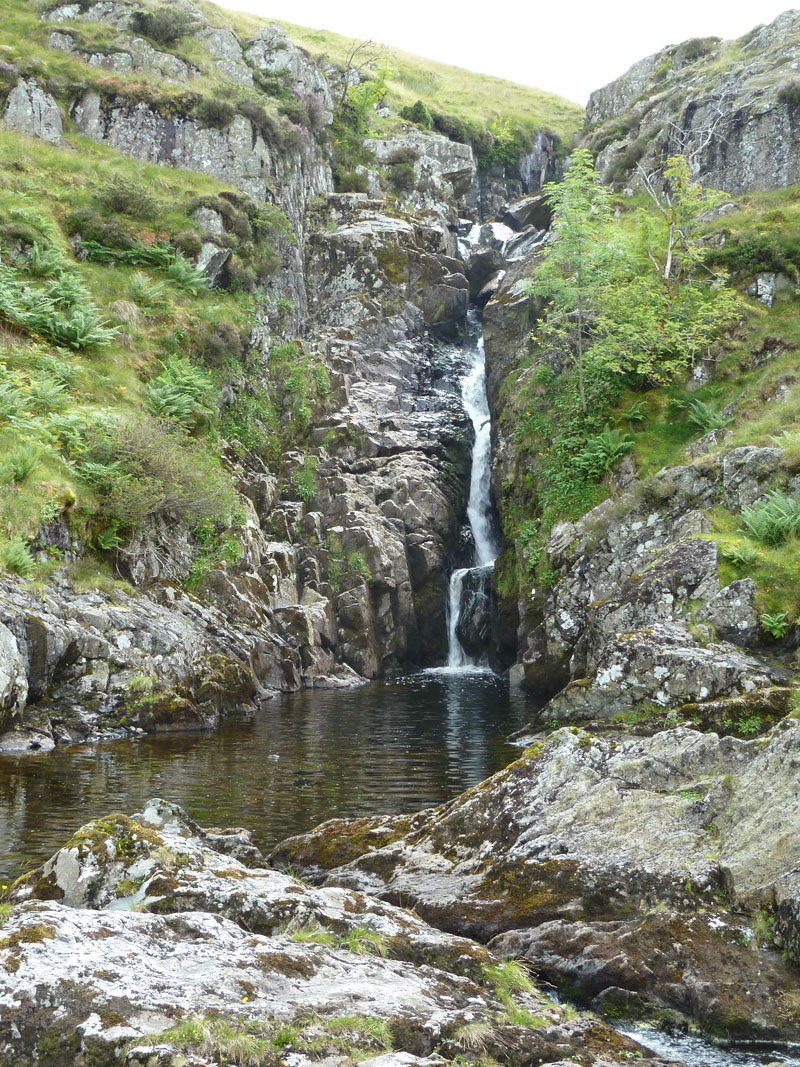
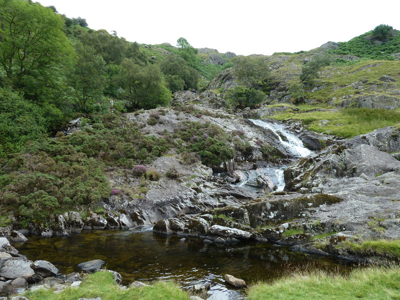
Forces Falls
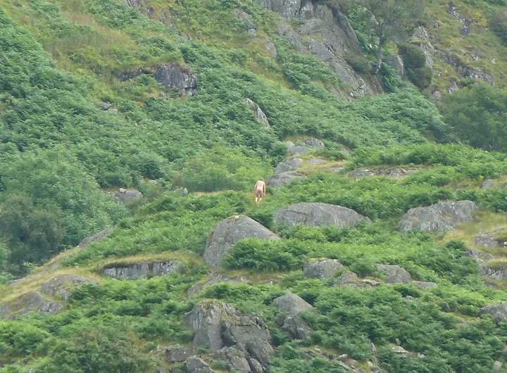
The top waterfall and pool. This scene can be found in Wainwright's Outlying Fells Book on page 232. I wandered off to look at the next pool to see if I would prefer it for a dip. Good Lord! There sat a man without his clothes on. He waved and I, sort of , waved back. I think this is what is known as naturism. Each unto their own.
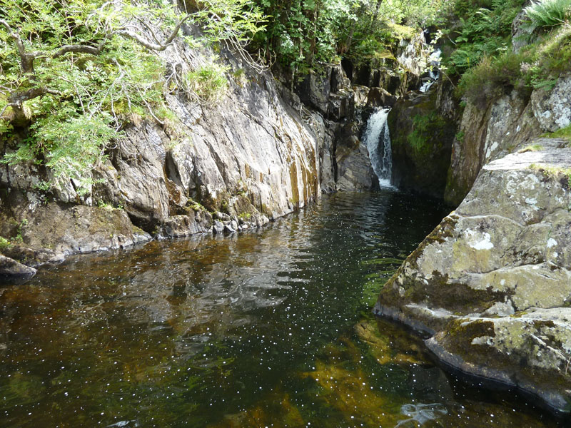
Forces Pools
This one looks more appealing, deep enough, easy to get out of and no other distractions. Tiptoe in or dive in?
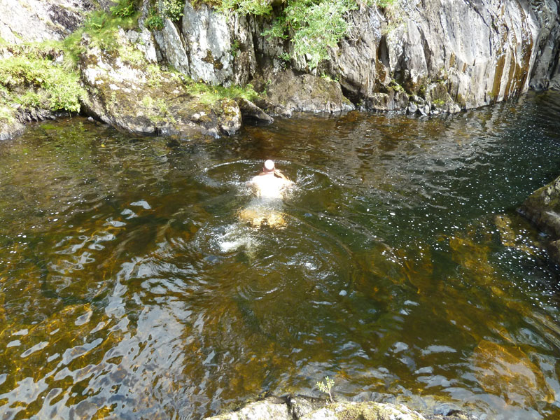
Me in the water
I think it's best to just dive in. The water was a degree or two colder than I might have liked, so I didn't stop in for too long. But it's very refreshing. I had brought a change of shirt for after the swim, however it was still in the car.
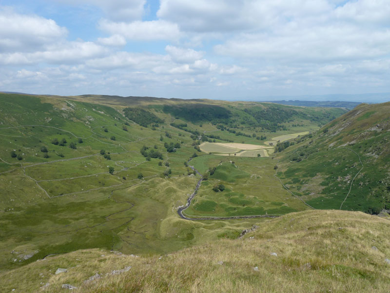
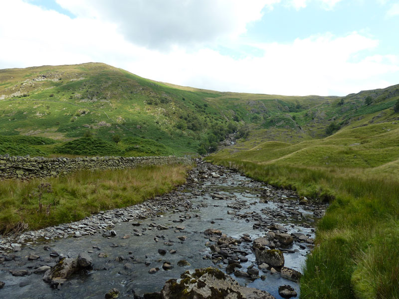
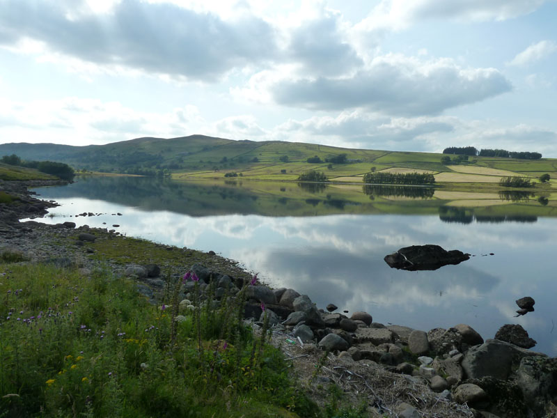
The Swindale Waterfalls
The nearest car parking facility is two miles away. These could well be the finsest series of waterfalls in the Lake District. Unspoilt, unpopulated, waterfalls, plunge pools, excellent! A family were having a picnic in the vicinity and good luck to them, it's some effort to get all the stuff to this point. We were offered shrivelled-up and cold sausages but, still unsettled by what we saw higher up, politely declined.
Forces Falls
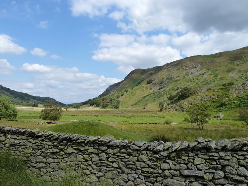
Swindale
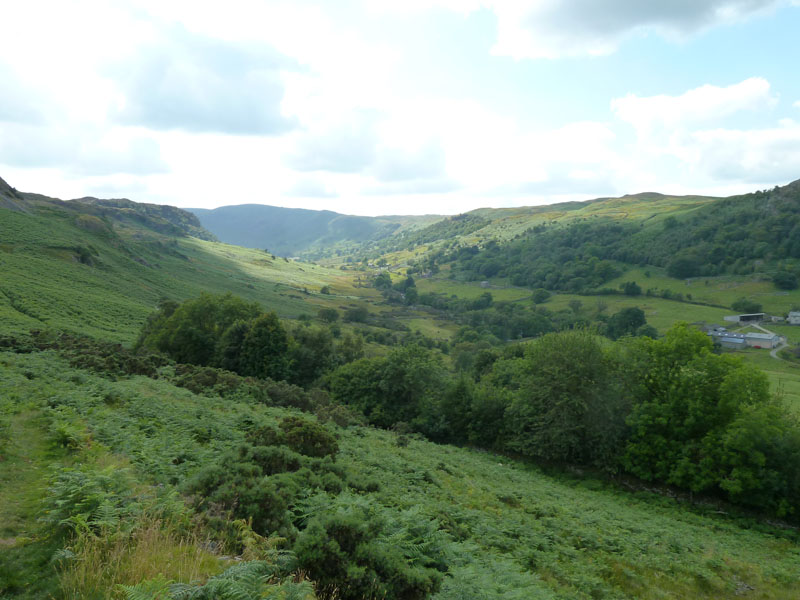
Leaving Swindale
Looking back, our route had us climbing back out of Swindale under Trussgap Brow and joining the local road close to Tailbert.
Shap
The unfenced road leads to Keld and then Shap, we will soon avail ourselves of the dam-builders road from the quarry south of Shap to Haweswater Dam.
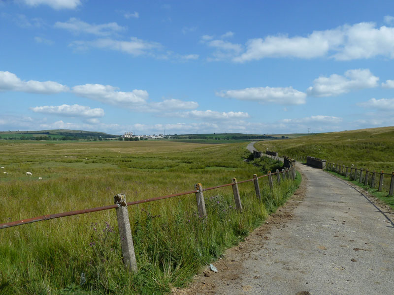
The Dam-Quarry Road
Six fairly hard miles from Dodd Bottom (Forces Falls) back to the cars, much on tarmac, but not too troubled by traffic.
Wet Sleddale Reservoir
The crowds were dodged. This is a great area to go walking in.
Walkers: David Hall and me.
Time taken: 9hrs 12 mins over a distance of about 16 miles.
Route: Wet Sleddale Res., Sleddale Hall, Seat Robert, Scam Matthew, Mosedale Cottage, Brownhowe Bottom, Gatesgarth Pass, Branstree, Captain Whelter's Bog, Selside Pike, Nabs Moor, Forces Falls, Another Bottom, Swindale Head, Truss Gap, Tailbert, unfenced and dam roads back to Wet Sleddale Reservoir.
Weather and conditions: Sunny and Warm. A little more cloud around mid-day.
Greetings Count: That first fellwalking nod was just after four and a half hours. The next hello's were at the top of Hongrumble Gill, then there was the wave to the naked rambler and late in the afternoon, we saw a few more on the roadways back to the cars.
Richard's Refreshment Review: David and I had pints of pop in The Greyhound Hotel, Shap. Most welcome and sensibly priced.
Risk Assessment: Brambles, nettles, thistles and biting flies can all cause the walker discomfort. Keep exposed parts protected.
All photos copyright Richard Ratcliffe 2011 ©
Take me back to the start ....