
~Barrow and Outerside~
8th May 2011
It was raining when I woke up and continued to rain until about 07:30. Then it stopped and the skies brightened, so after breakfast I decided to do a local walk and studied the map to see what was best. I decided that a direct ascent of Sail from Braithwaite would be the best plan, returning over Scar Crags, Causey Pike and Barrow. The walk did not work out as planned.
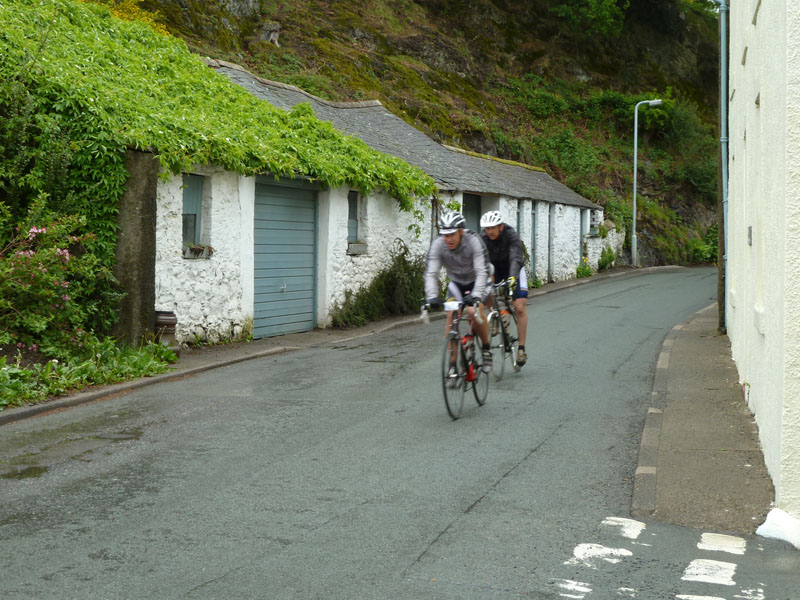
Cyclists in Braithwaite
Scroll down for photos and a description of the walk....
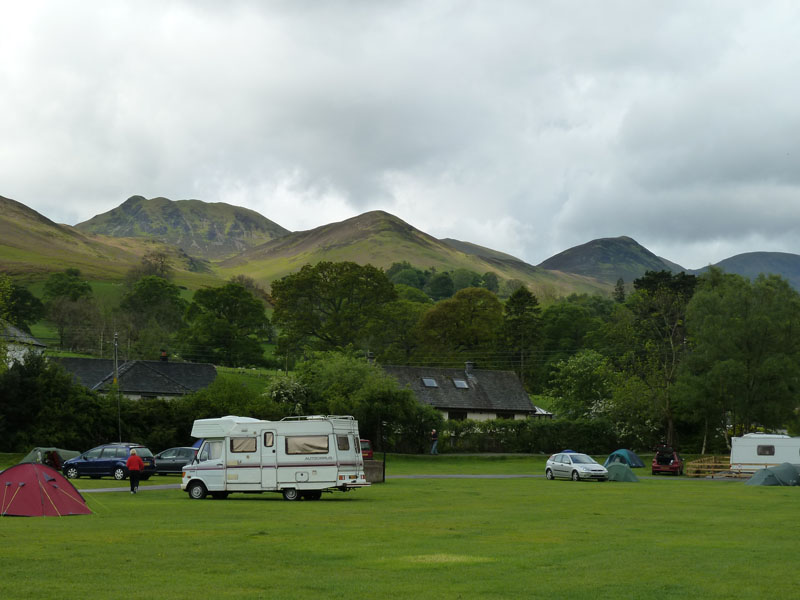
Scotgate Campsite, Braithwaite
Causey Pike is easily spotted, then Stile End, a bit of Scar Crags, Outerside and Eel Crag. I've packed a wet tent into the car and decided to head for High Coledale Farm and Barrow Door for the path to Sail Pass and Sail.
Braithwaite
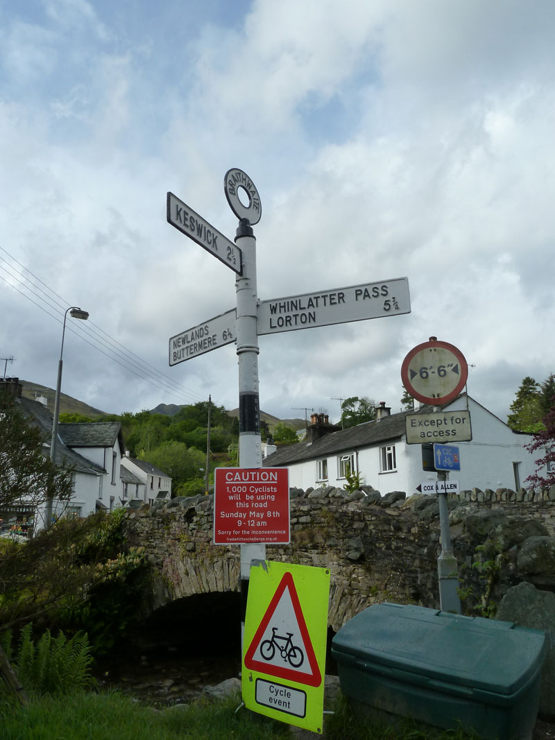
The 1,000 cyclists are taking part in the Fred Whitton challenge, a 112 mile ride tackling all the major Lakeland passes. Cor Blimey!
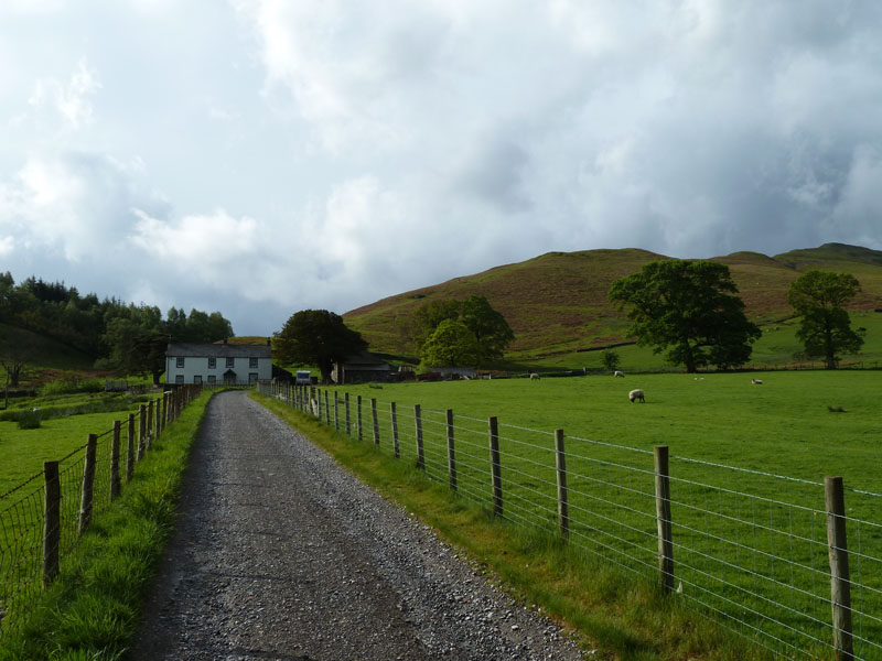
Braithwaite Lodge
Well, I've taken a wrong turning and didn't realise until I reached Braithwaite Lodge. That's not a map reading error, it's a numpty error. I'll do something else then, Barrow first.
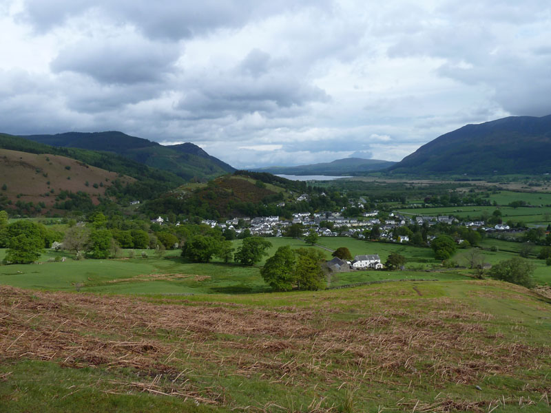
Braithwaite and Bassenthwaite Lake
Passing the Lodge (white building), it's a direct route up Barrow.
Barrow Pass
Barrow Pass is at a dip in the ridge and leads to an old mine area on the left and Barrow Gill down there on the right.
Barrow's Bumps
On the way up, the walker is fooled by several false summits, though not too fooled if you take into account that you need to be about 250ft higher than Kinn on the other side of Coledale.
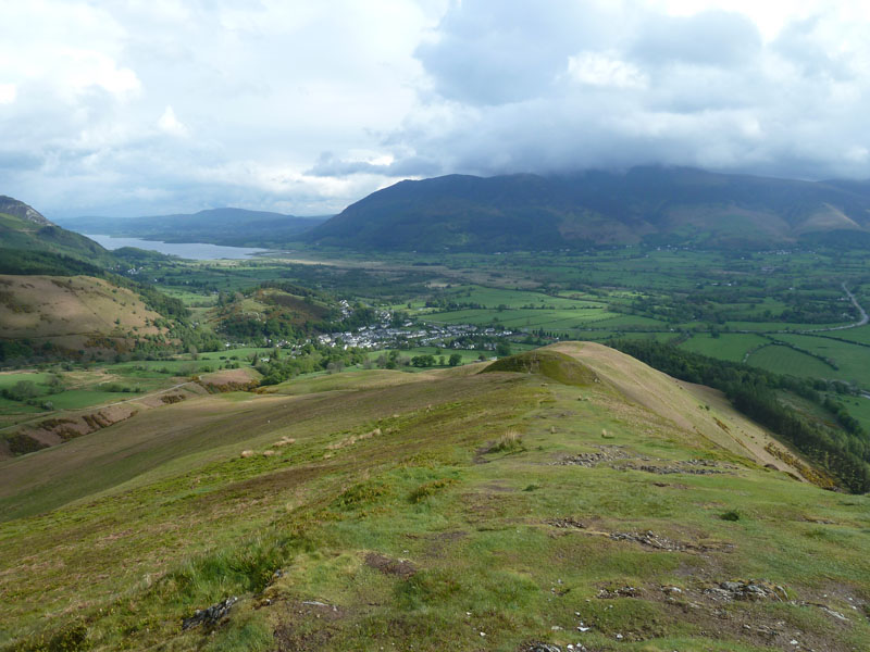
Barrow Summit
I've now decided to make Outerside (dark, centre) the next target, accessed via the dip known as Barrow Door.
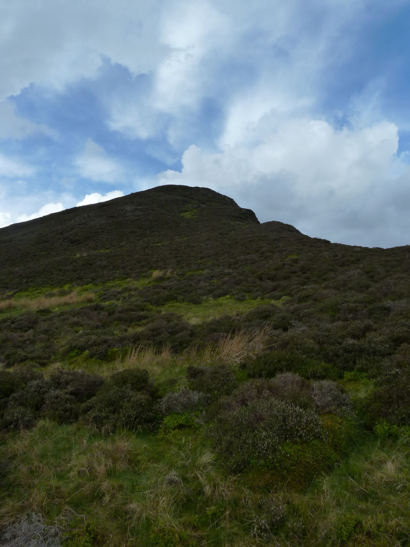
Up Outerside
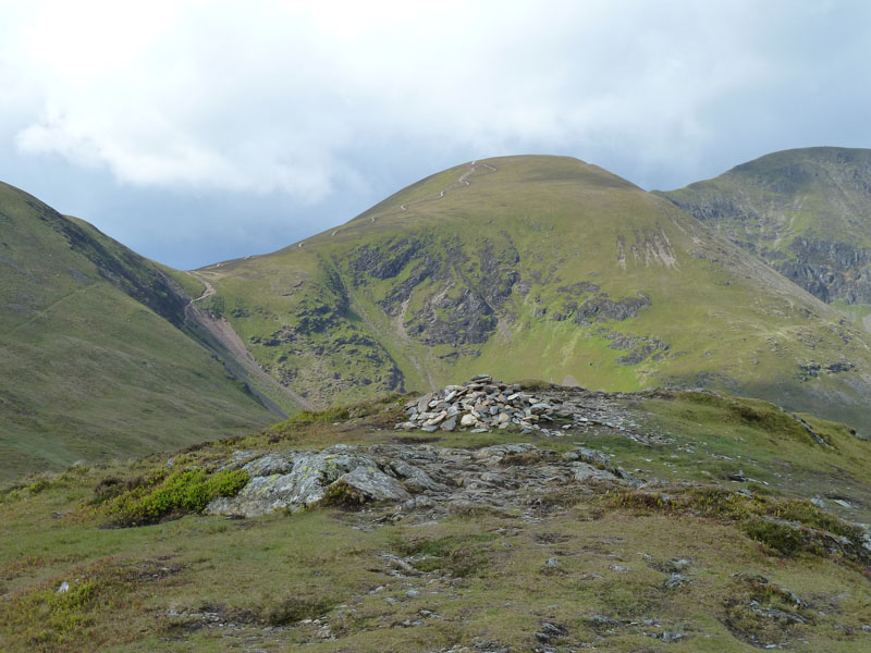
Sail from Outerside
At this point, the plan was to ascend Sail via Sail Pass (dip) and the new curly path. But I sat down facing the mighty bulk of Eel Crag and planned a route:
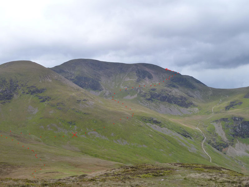
The Plan
The higher part of the route is in AW's Book 6, Eel Crag and was titled The Shelf Route. The X has been placed for a reason, read on...
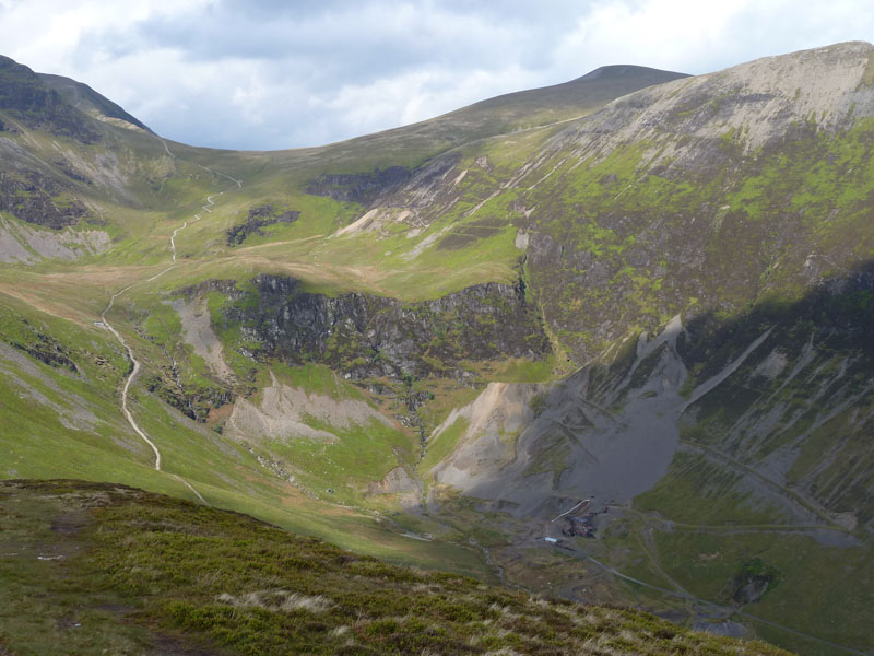
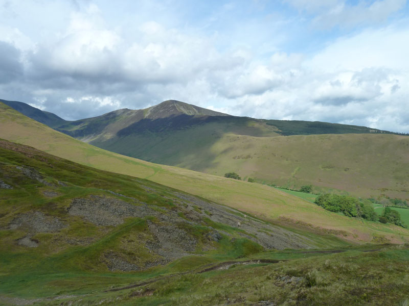
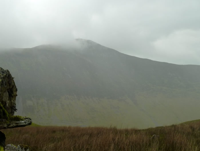
Force Crag
Force Crag is at the head of Coledale. The clear path leads to Eel Crag or beyond to Grasmoor, or to the right to Hopegill Head.
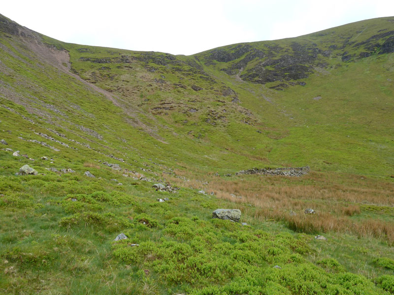
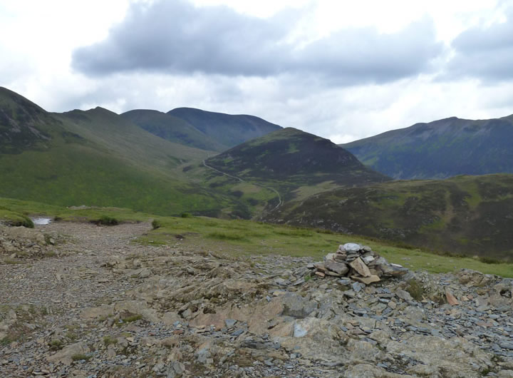
Sail Pass
The ruin is probably an old sheepfold. Wainwright says there used to be a Cobalt Mine here, but there is little evidence of such. Sadly, it started raining and I took a short rest at the sheepfold, debating what to do. I donned waterproofs and stuck to the route plan.
Rain in Coledale
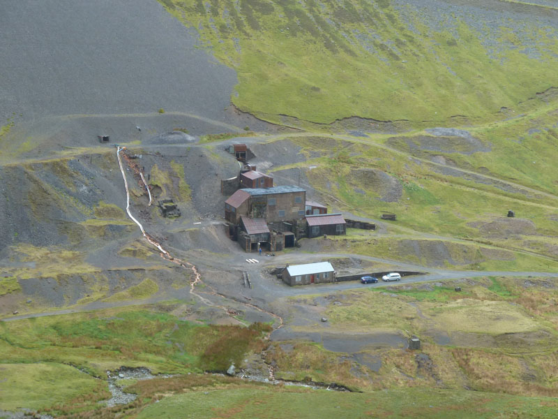
Force Crag Mine
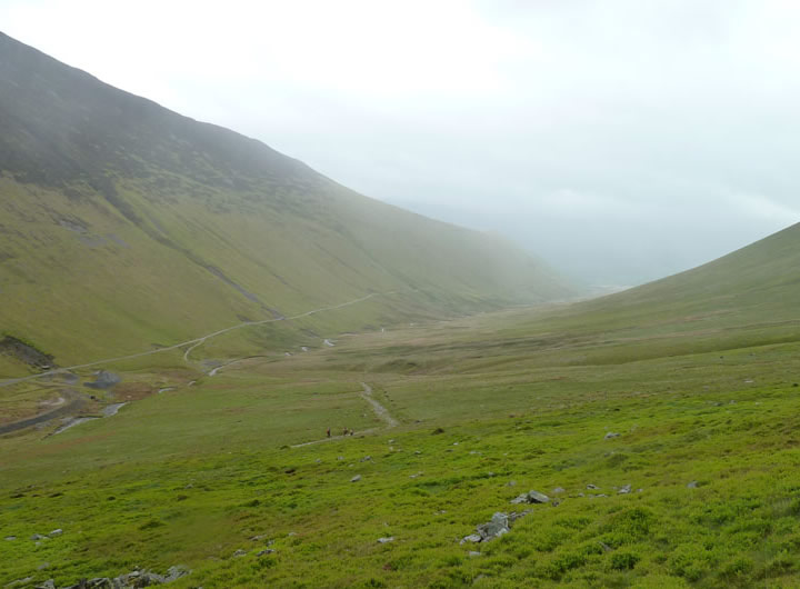
The rain became heavy and I lost interest in the plan to ascend Eel Crag,, stopping somewhere near the "X" on the plan above. I contoured around to Force Crag and planned a return to Braithwaite via the old mine road down Coledale.
Rain in Coledale
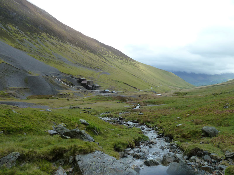
Force Crag Mine and Coledale
The last of the underground mines in Lakeland to close. Wouldn't you just love to be able to go back 400 years or so and see the German miners win valuable minerals from the ground and show the locals how it should be done.
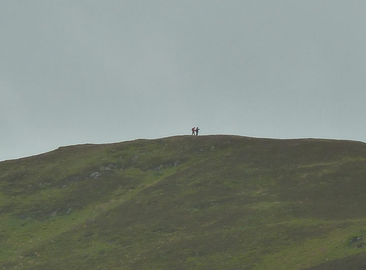
Two Walkers on Stile End
I wonder how far they will get, the weather really isn't too good.
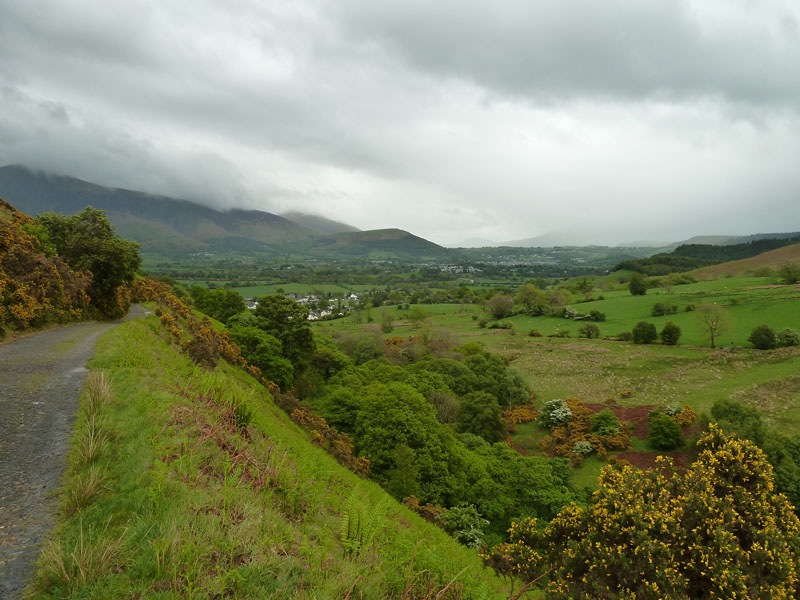
Latrigg
I followed the track until a footpath leads off to the right, down to Braithwaite.
Walkers: Just Me.
Time taken: 3.5 hrs over a distance of about 6 miles.
Route: Braithwaite, Braithwaite Lodge, Barrow, Barrow Door, Outerside, Cobalt Mine area, Force Crag, Coledale, Braithwaite.
Weather and conditions: Brightish start, clouding over and giving way to heavy rain.
Greetings Count: Nil, until the lower reaches of the Coledale miners road, where I passed a party of three hardy fellwalkers. I was a bit less than hardy today..
Richard's Refreshment Review: I'll mention the Cafe at Scotgate. It's open to all from 8am and offers a good menu from breakfast through to daytime snacks and bigger meals.
Take me back to the start ....