
~Lynmouth and Watersmeet~
19th May 2011
It's not unusual for me to buy the appropriate "pathfinder guide" when on holiday. These are books providing the visitor with a whole range of graded walks. In this case "Exmoor and the Quantocks" offers 28 walks and I quickly identified Walk 12 : Lynmouth and Watersmeet as being the best of the bunch. So, when the weather forecast promised a bright and sunny day, it was time to travel across Exmoor and give it a go!
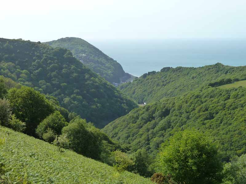
Hollerday Hill and Lynmouth
Scroll down for photos and a description of the walk....
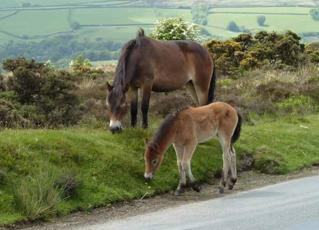
Exmoor Ponies
There's loads of these ponies on Exmoor, a wonderful sight.
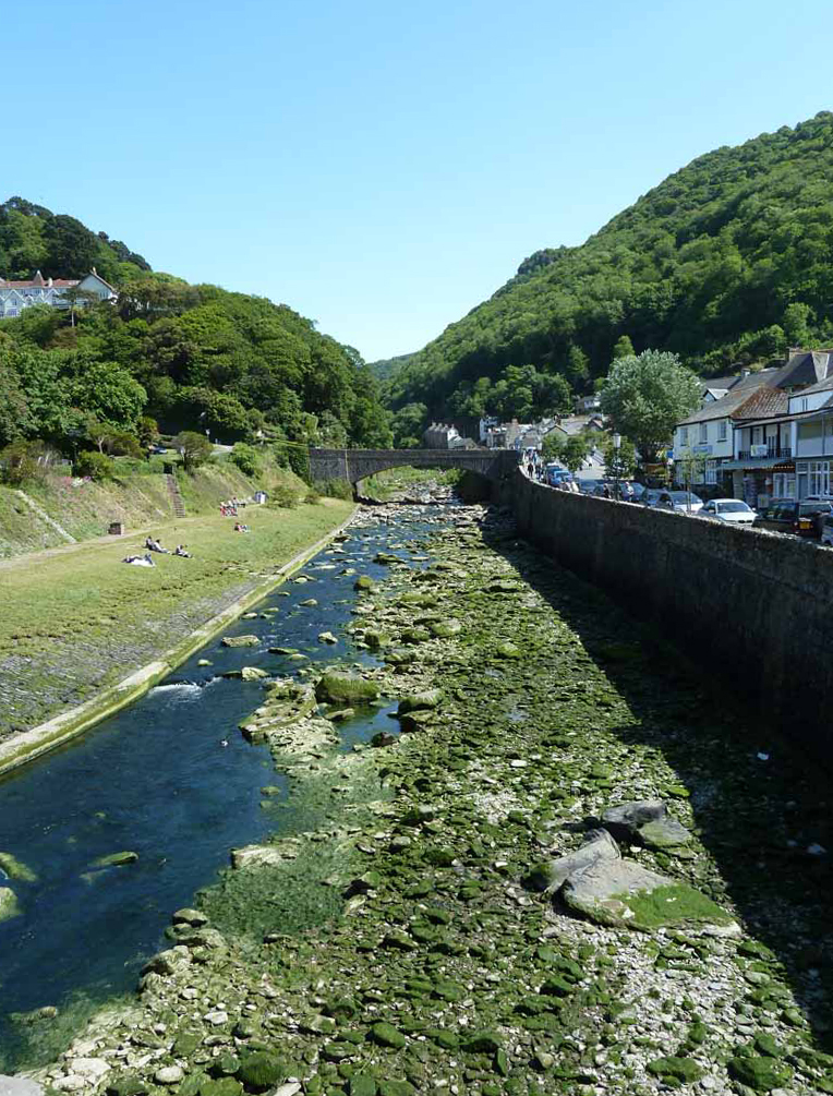
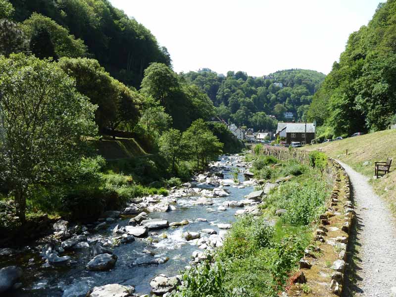
River Lyn at Lynmouth
We left Hatch Beauchamp and decided to reach Lynmouth via Tiverton and a drive across Exmoor. On the way we stopped for a while at Dulverton. We reached Lynmouth at about 14:30, a bit later than usual for the start of a walk.
River Lyn
The West Lyn joins the East Lyn at the bridges (above). I was aware that Lynmouth had suffered a catastrophic flood many years ago, very difficult to imagine on this fine day.
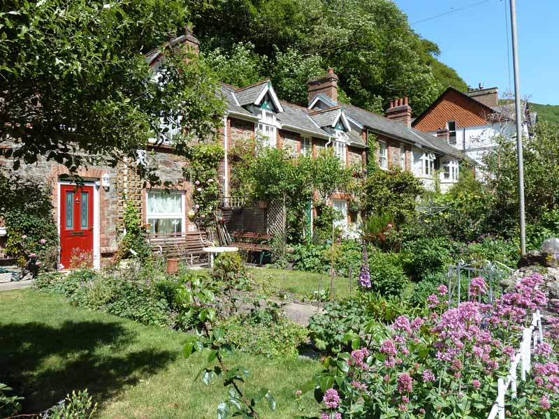
Riverside Cottages
Middleham
The neat and tidy garden on the west (left) bank hides a dark secret. The ten cottages of Middleham were here until the night of 15th August 1952; the morning after - they were gone.
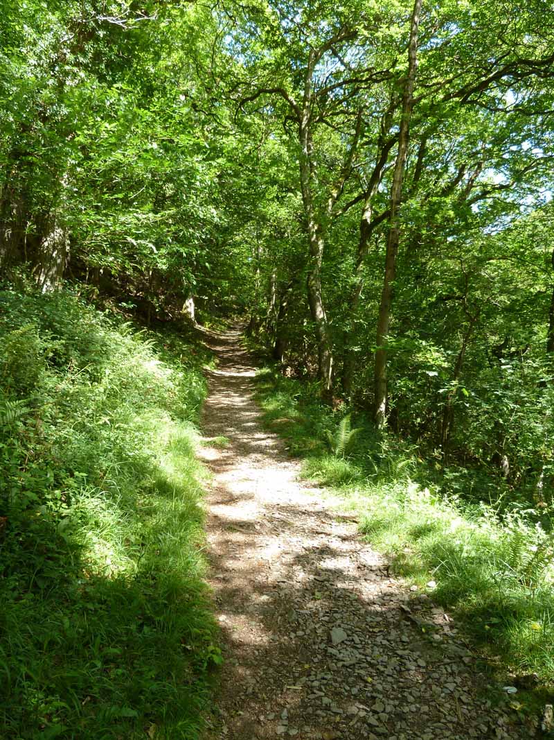
Woodland Walk
The walk is described in the guidebook as "one of the great classic walks of Exmoor, through the beautiful, steep-sided, thickly wooded valleys of the East Lyn River and Hoaroak Water.....sparkling rivers, magnificent woodlands and superb views repay the effort many times over." A little like the Ingleton Waterfalls walk, only better! Less folk, no rubbish, no fallen trees with coins embedded therein.
Woodland Walk
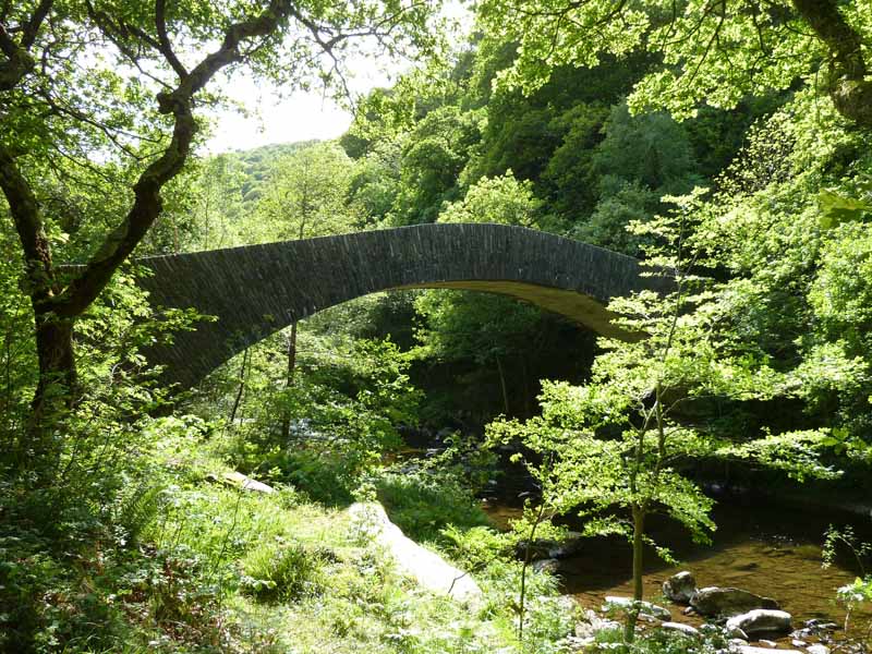
Chiselcombe Bridge
The original, ancient bridge was destroyed in the flood. This new bridge is faced with local stone in a local style, but it is much wider and higher than the former crossing.
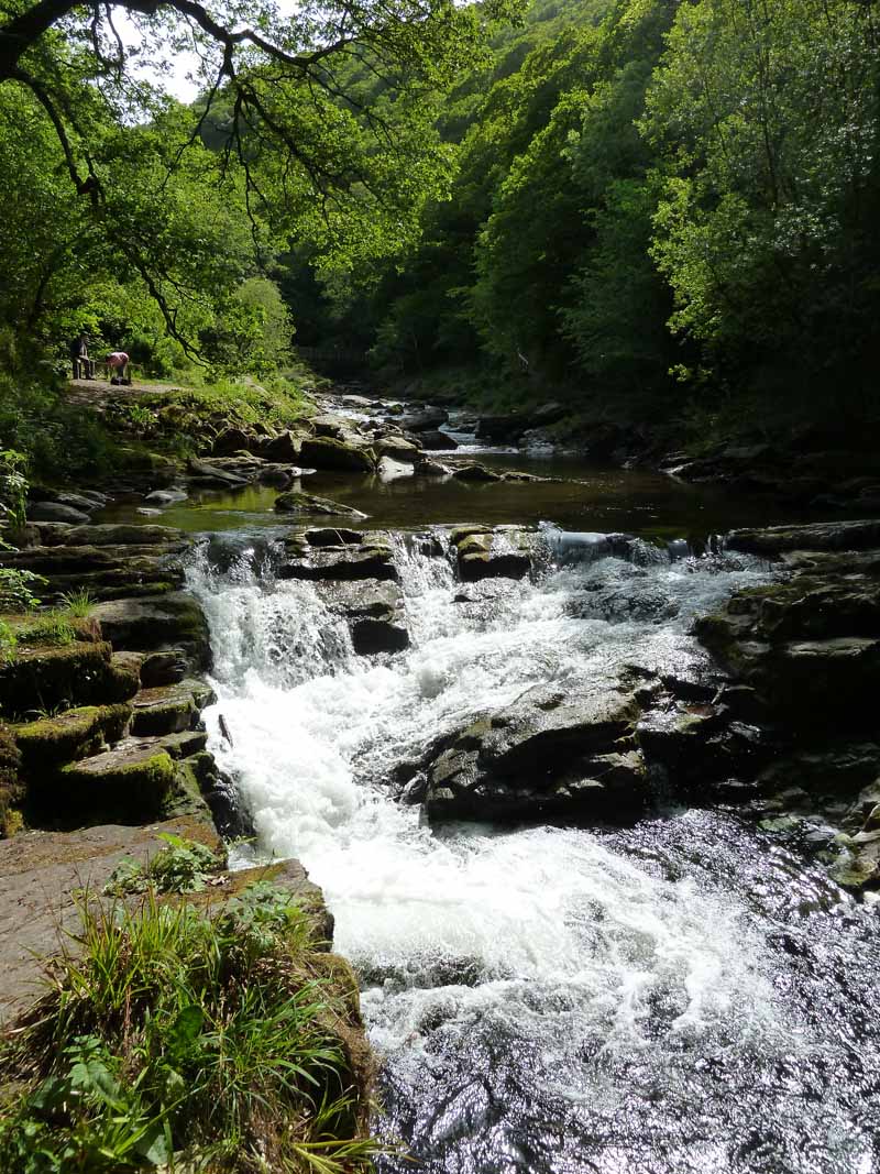
East Lyn River
A couple of miles into the walk and nearly at Watersmeet.
Watersmeet
The new bridges are designed to fail if another flood comes this way. One problem years ago was damming behind the bridges and then sudden surges. The wide arches of Chiselcombe bridge and the other new bridges in Lynmouth are also designed to allow fallen trees to flow underneath.
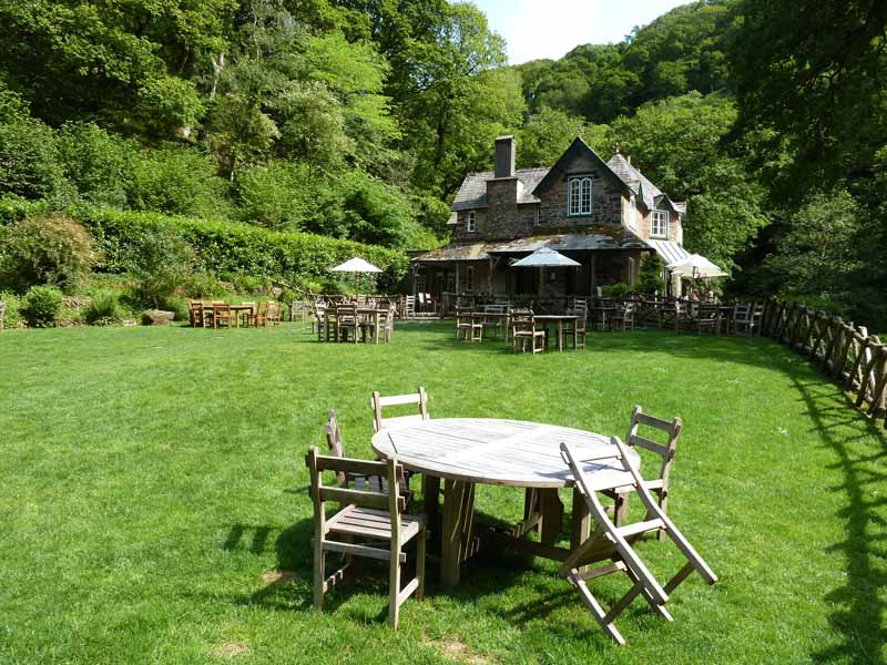
Watersmeet House
A former hunting and fishing lodge, now owned and run by The National Trust.
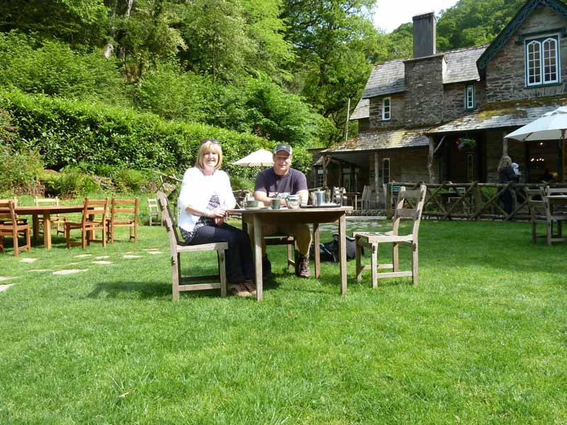
The Ratcliffes take tea

Between the Rivers
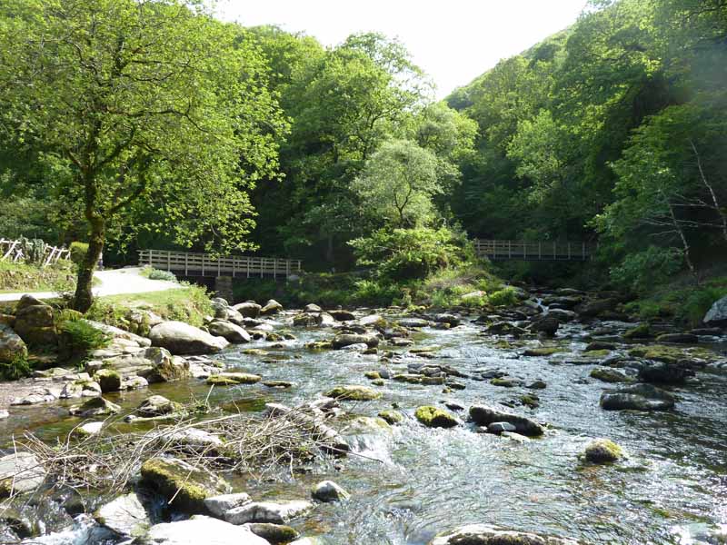
We now follow Hoaroak Water up to Hillsford Bridge.
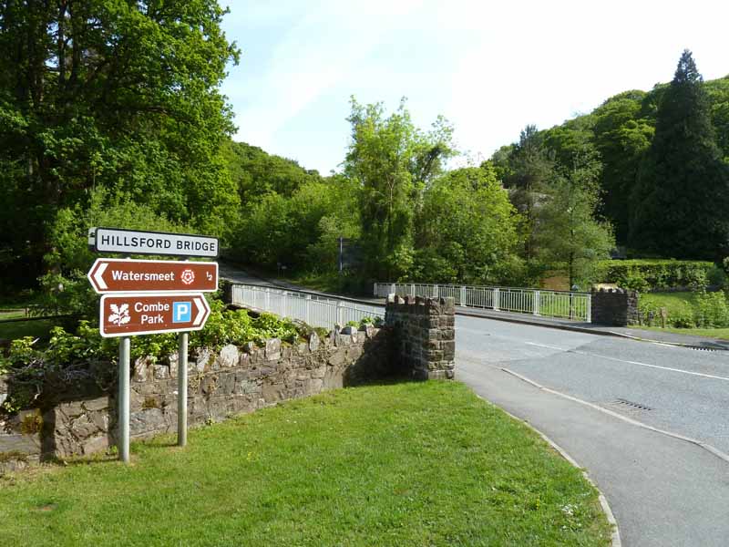
Hillsford Bridge
Now follows a fairly steep climb through the woods to the top of Myrtleberry Cleave.
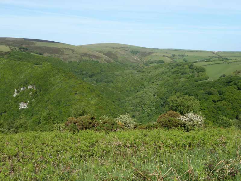
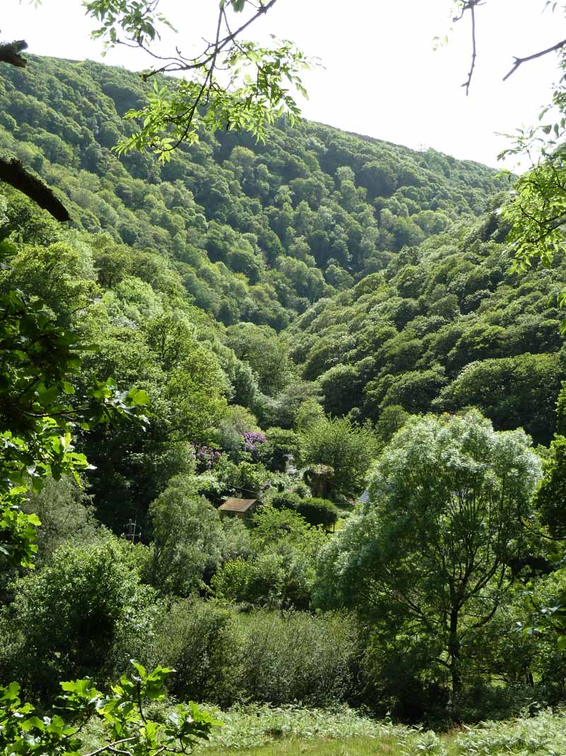
East Lyn Gorge and Kipscombe (high point, centre)
East Lyn Gorge and Hollerday Hill
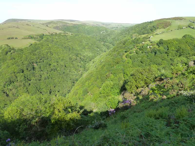
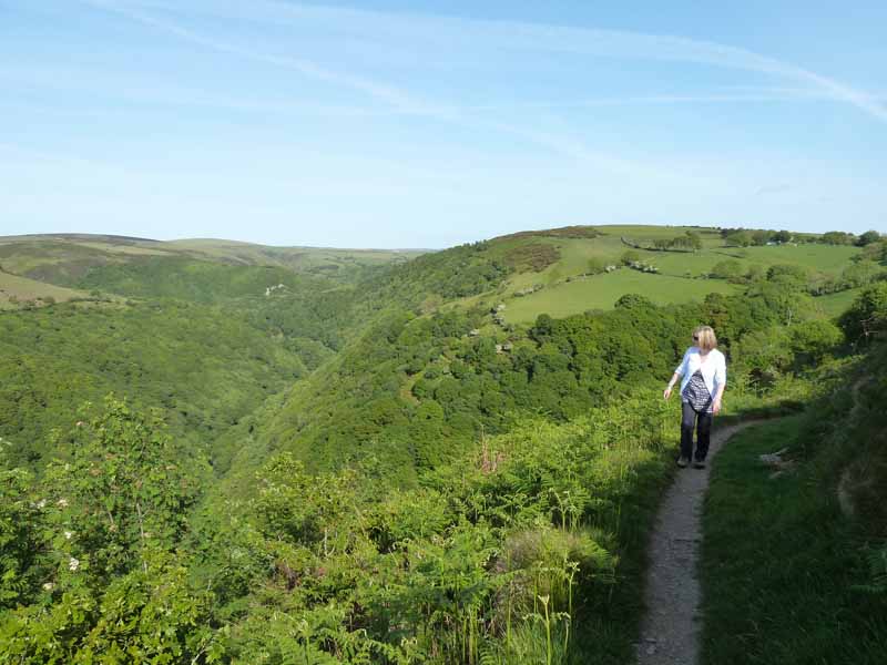
East Lyn Gorge
Much of the earlier part of the walk was spent in those woods.
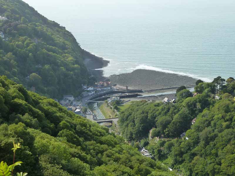
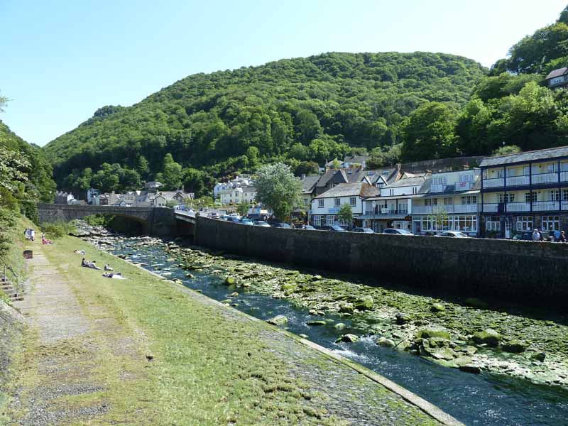
Lynmouth
The combined Lyn River width was 30ft wide, pre-flood; post-flood it was redesigned to 80ft width.
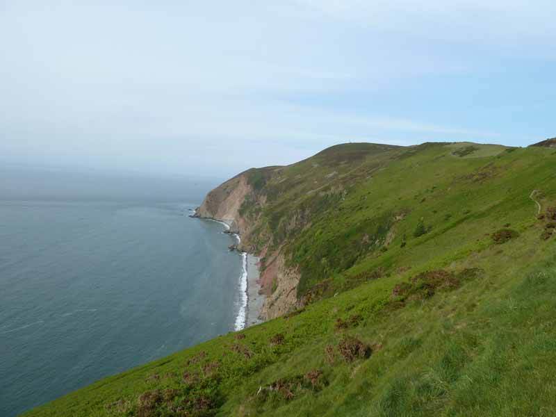
The Foreland
34 people lost their lives in the night of the flood; a quarter of the properties of Lynmouth were destroyed; an estimated 90 million tonnes of water fell on Exmoor that day; the highest watermark found on Lyndale Hotel was 60ft above the normal river level.
Walkers: Karen & Me.
Time taken: 3hrs 15mins over a distance of about 6 miles.
Route: Lynmouth, East Lyn River, Watersmeet, Hoaroak Water, Hillsbridge, Myrtleberry Cleeve, Oxen Tor, Lynmouth.
Weather and conditions: Sunny.
Greetings Count: Quite popular up to and including Watersmeet; we saw no other walkers on the second half of the walk
Richard's Refreshment Review: Watersmeet House offers a typical National Trust cafe menu, they are not my favourite places. But for tea and scones, there was no problem, as long as you prefer smaller scones!
Take me back to the start ....