
~Rosthwaite Fell~
3rd July 2010
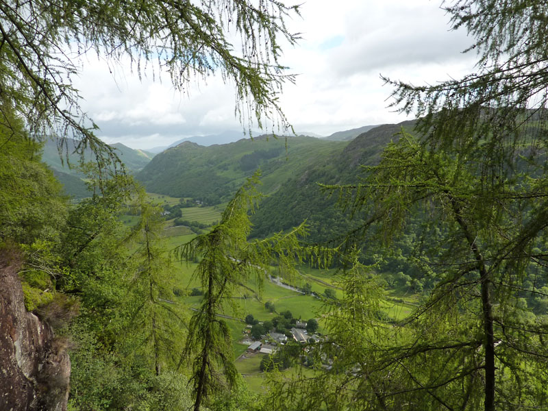
The second of two reports from a brief visit to Lakeland. This fell has defeated my ambitions to visit its summit on at least three previous occasions and I was determined to do better this time....
Langstrath Country Inn, Stonethwaite
Scroll down for photos and a description of the walk
Rosthwaite Fell
It had rained overnight and now there was a freshness in the air and much less wind than the day before. Armed with my Wainwright Guide, there was no way I could go wrong with the ascent route. It says "Watch for the path leading into the wood, just after the second of two streams close together (1/4 mile from Stonethwaite)".
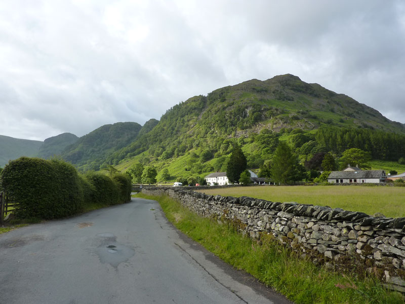
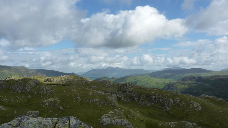
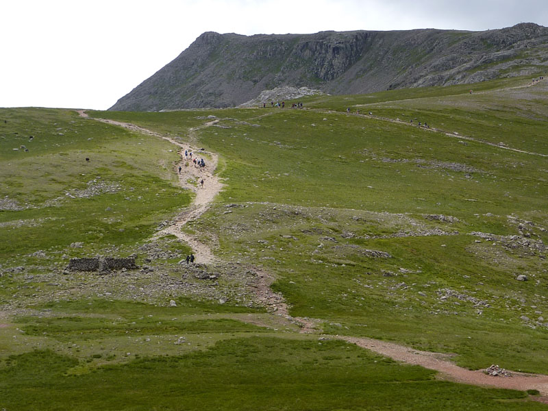
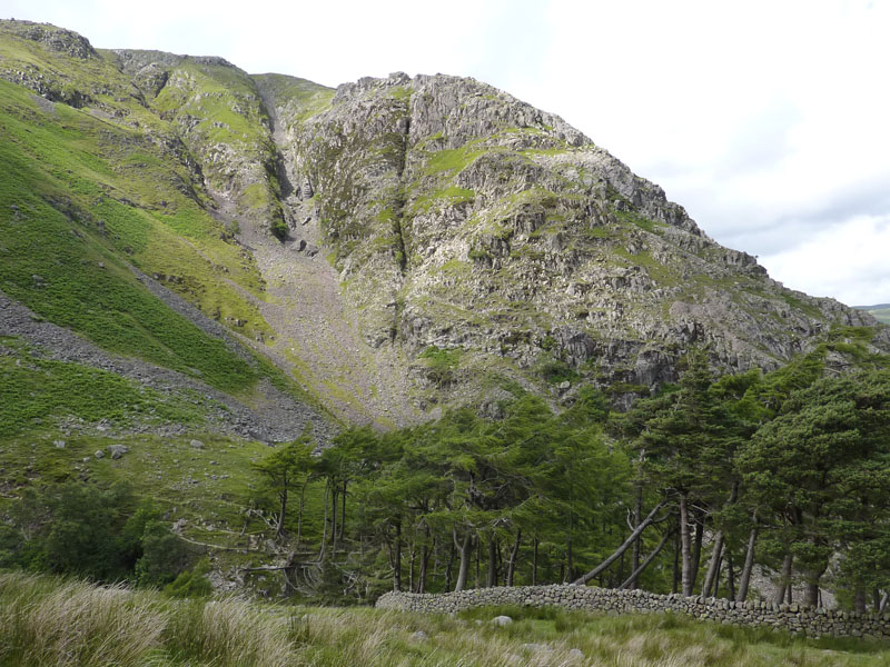
Stonethwaite and Borrowdale
Well, I counted one stream, two streams and I was a short distance away from the village. A path leads into the woods, here we go. However, it became apparent that I was in the wrong place and was climbing alongside Little Stanger Gill, not Big Stanger Gill, which must be the Stanger Gill in AW's book. This ascent route is not recommended, it's very steep and there is no clear path, there are several scrambles and when I emerged at the top of the gill, I was clearly not where I should be.
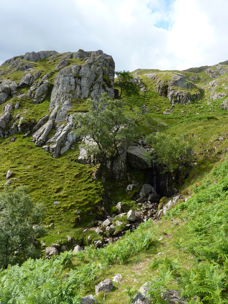
Waterfall in Stanger Gill
I made my way to the correct path and rejoined the recommended route. This "fall" being on RF 4 in the book.
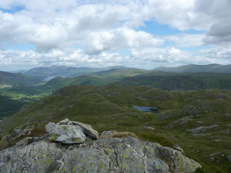
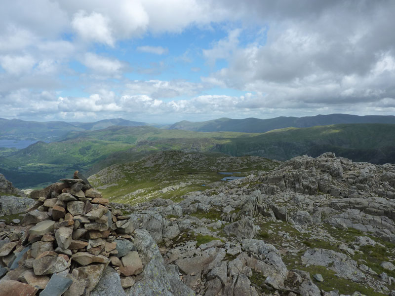
Bessyboot
The view from Bessyboot, the summit of Rosthwaite Fell, looking in a northerly direction.
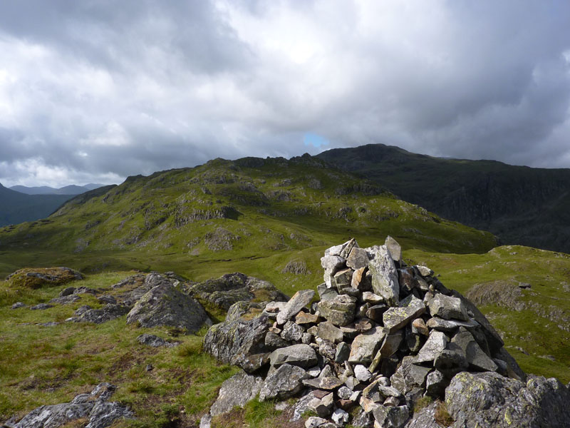
Bessyboot Summit Cairn (1807ft)
One of the things I particularly like about the Wainwright Books is the subjectivity therein (is that the right word?). Here I am at his appointed summit of Rosthwaite Fell, looking intently at the highest point, half a mile further away, known as Rosthwaite Cam (2008ft). Both fell tops are on his Rosthwaite Fell map and therefore by implication, Rosthwaite Cam is not part of Glaramara.
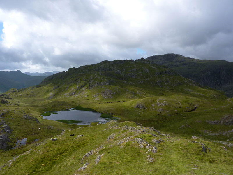
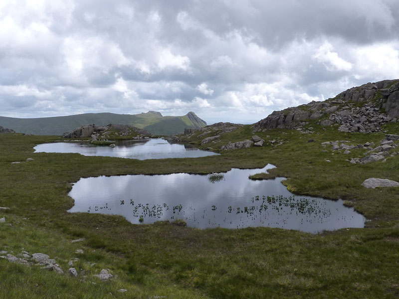
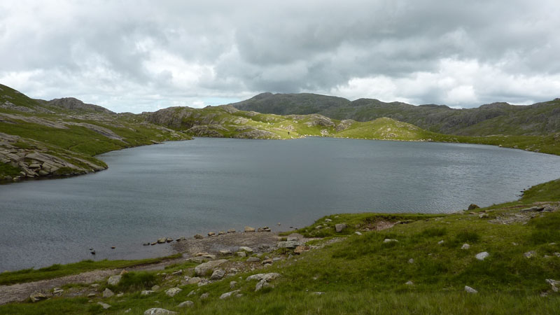
Tarn at Leaves
In the dip between Bessyboot and Rosthwaite Cam. That's Glaramara behind Rosthwaite Cam.
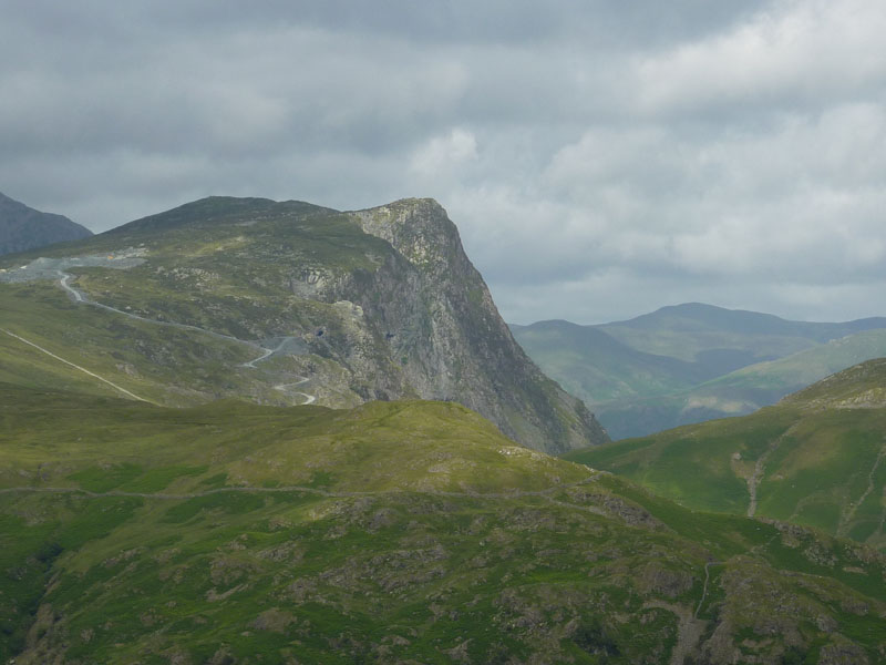
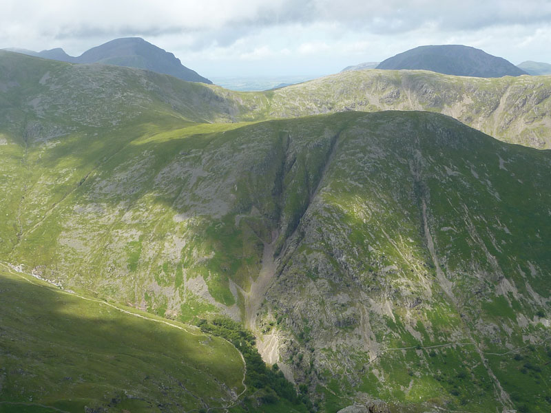
F£eetwith Pike
Looking across Grey Knotts to Fleetwith Pike, there's lots of activities at the Honister Mines at the top of Honsiter Pass.
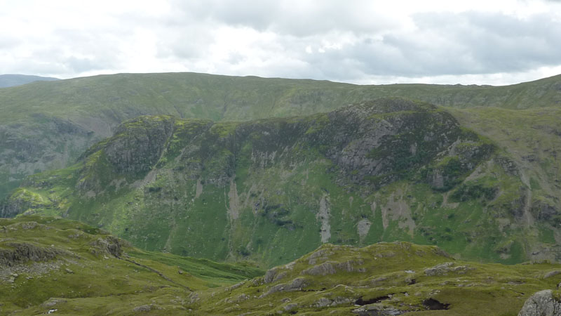
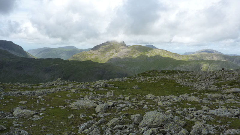
Eagle Crag (l) and Sergeant's Crag (r)
There are many folk who will claim to have climbed both Eagle Crag and Sergeant's Crag. One from the other does not look too challenging.
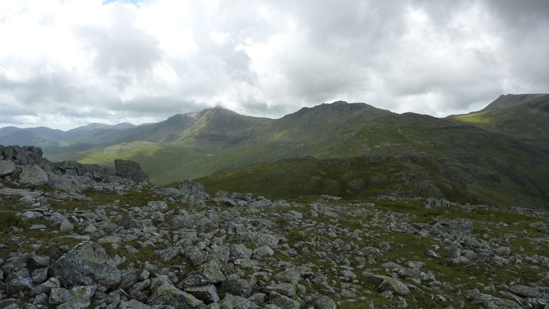
The Summit of Rosthwaite Cam
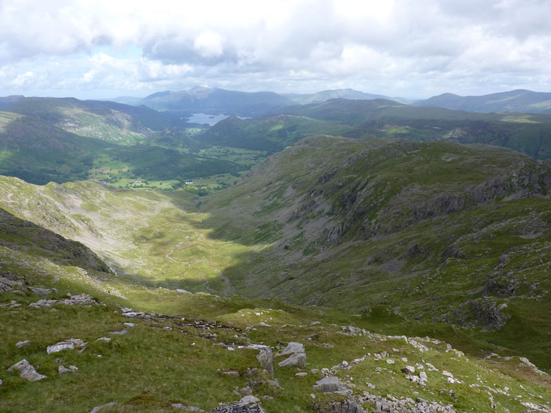
The Combe
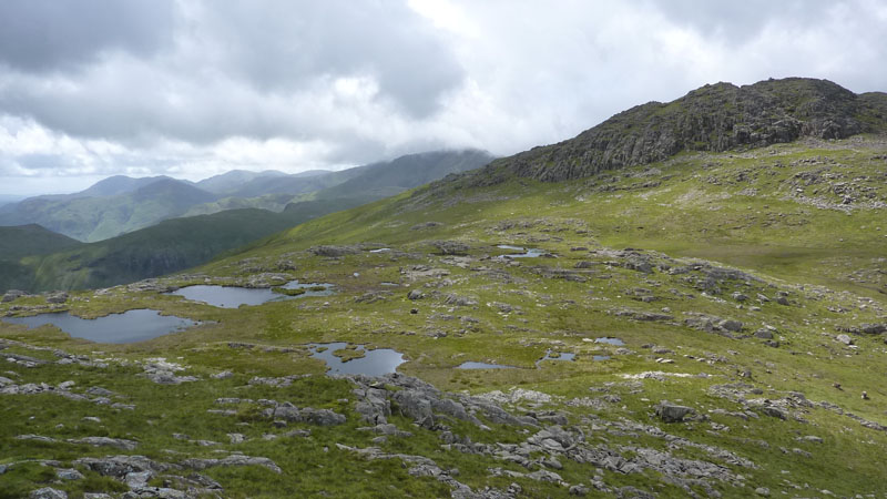
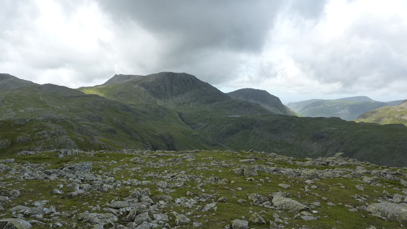
Combe Head Tarns
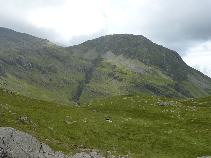
Glaramara Summit
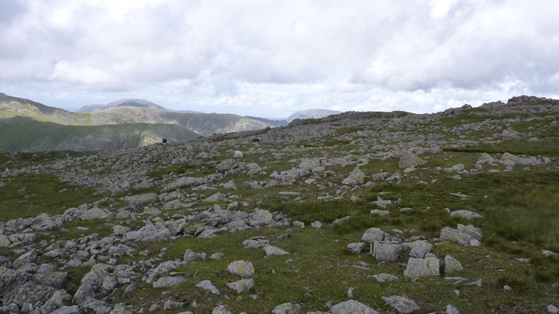
So far today, the walking has been a little messy, lots of ups and downs, a navigational error and a rather unclear route on the approach to Glaramara summit. From here to Allen Crags it should be straightforward. At this point, I have not decided what to do after lunch on AC.
Base Brown
On the way to Allen Crags, I noticed the fine view of high fells on offer. I'm not a great fan of panoramic photos and so, as an alternative, here's the view, in four consecutive photographs l-to-r.
Bowfell, Esk Pike (Allen Crags in front), Ill Crag?
Ill Crag (?), Great End, Lingmell
Seathwaite Fell (near), Great Gable, Green Gable, Brandreth with Base Brown in front
High Stile range (behind Brandreth); is that Grasmoor (centre at some distance)?
All these four photos are taken from the same spot. Please get in touch and correct any mistakes.
High House Tarn
I think that in wetter times, these two tarns are one. The Langdale Pikes are a little further away.
Allen Crags
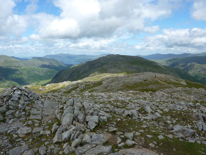
The view back to Glaramara with lumps and bumps along the way. Up to this point I haven't seen many people, the couple with the dog that you can see were the first "Hello's" of the day on Glaramara summit and around me now are a few other walkers.
Esk Hause
I've turned my back on solitude and decided to complete the walk with a wander down to Esk Hause Shelter and then Sty Head before taking Styhead Gill down to Seathwaite.
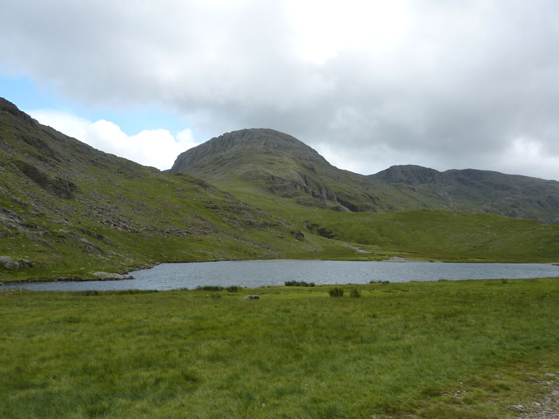
Sprinkling Tarn
Lingmell
Great End, behind Styhead Tarn
Base Brown
Seathwaite Fell
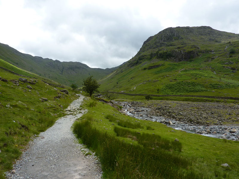
I've just gone over Stockley Bridge - no photo as casual walkers were resting on the parapet. This path goes over a mound of glacial morraine, but for how much longer?
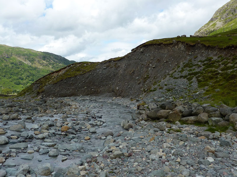
Glacial Morriane
Rosthwaite Fell
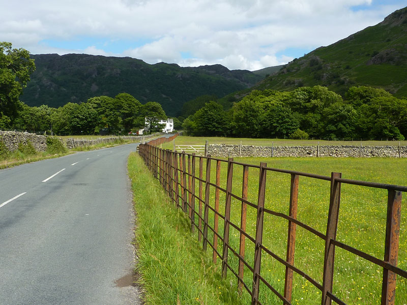
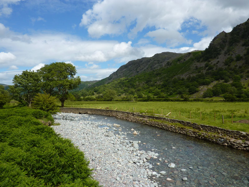
Iron Fence
On the roadway now, heading back to the campsite. This iron fence and the stone walls seem to have survived last year's floods in good nick. The modern wood and wire fences seemed to catch the detritus and become damaged by the raging torrents.
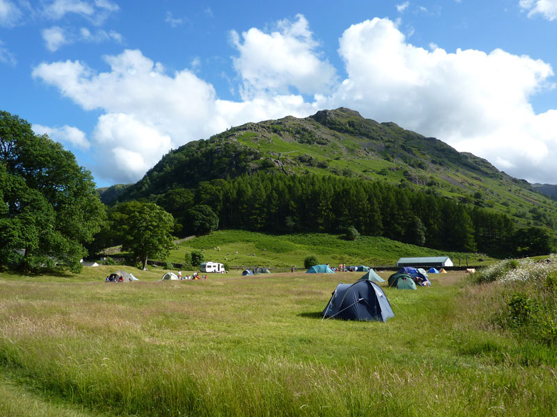
Chapel House Farm Campsite
The last photo of the weekend. Soon enough I was packing the tent and heading home.
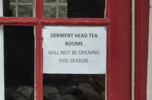
Great Business Plan
This is the cafe at Seathwaite Farm, Borrowdale.
Walkers: Just Me.
Time taken: 8hrs 40 minutes over a distance of about 11 and a half miles. A bit slow again, but the first part of the walk was a bit of a drag to be honest. The second half of the walk was much easier and a reasonable pace was maintained.
Route: Stonethwaite, Little Stanger Gill, Bessyboot, Rosthwaite Cam, Combe Head, Glaramara, Allen Crags, Esk Hause Shelter, Sprinkling Tarn, Sty Head, Styhead Gill, Seathwaite, Seatoller, back to the campsite.
Weather and conditions: Sunny Intervals, improving and not too breezy.
Greetings Count: No one until Glaramara, more on Allen Crags, overcrowding all the way back to Seathwaite..
Richard's Refreshment Review: I would have had something at Seathwaite, but instead had to make do with an ice cream at The Yew Tree Inn at Seatoller. Just as well I had plenty of money with me!
All photos copyright Richard Ratcliffe 2010 ©
Take me back to the start ....